
Former Interstate 505 Oregon

Overview
Interstate 505, the Industrial Freeway, was a planned 3.17 mile long spur from I-405 along the U.S. 30 corridor in northwest Portland. The Industrial Freeway was conceptualized as early as 1959 and 1963. The American Association of State Highway Officials (AASHO) approved the I-505 designation on June 23, 1969 and the Interstate highway was proposed in 1971 as a 1.3 mile long facility. Controversy involving the construction of I-505 ensued. A lawsuit demanding an environmental study was presented to the U.S. District Court in 1971, and it was debated through the rest of the decade.
Interstate 505 was formally withdrawn from Oregon's Interstate Highway System in December 1979. The lone segment built was the approach ramps to Interstate 405 and the Fremont Bridge at the east end. These were incorporated into a reroute of U.S. 30.1
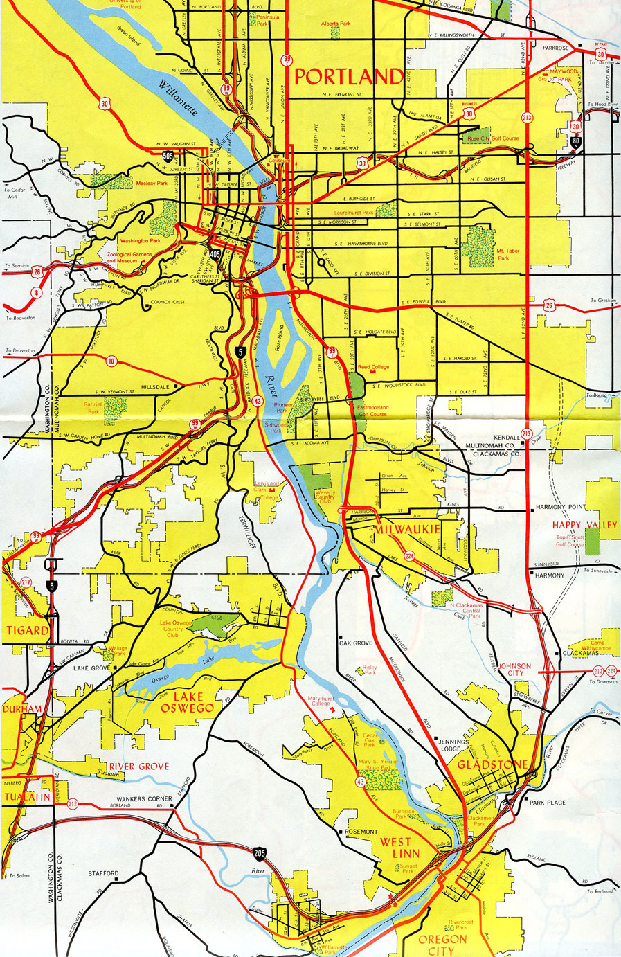
According to Interstate 50th Anniversary: The Story of Oregon's Interstates, the Interstate 505 freeway spur was planned to open up the industrial areas along Yeon Avenue; the freeway would have been routed on or along this section of U.S. 30. It would have extended from Interstate 405 in Downtown Portland to U.S. 30 Bypass where U.S. 30 changes into St. Helens Road. The course would have traveled through a considerable number of residential buildings and along the fringe of Forest Park. These factors ultimately caused Interstate 505 to join in Oregon's Great Freeway Kill Off in the mid 1970s.2
The state of Oregon redirected federal Interstate dollars allocated for I-505 for an array of projects. These included funds for completing Interstate 205, Portland area highway improvements on U.S. 26 (Sunset Highway), Oregon 212, and Oregon 217 and other roads, and construction of mass transportation systems including the "Banfield Transitway Project".
Mileage by State
| Oregon | 3.17 mi |
Data Sources
Interstate 50th Anniversary: The Story of Oregon’s Interstates.
East End 
 ‐ Fremont Bridge – Portland, OR
East at
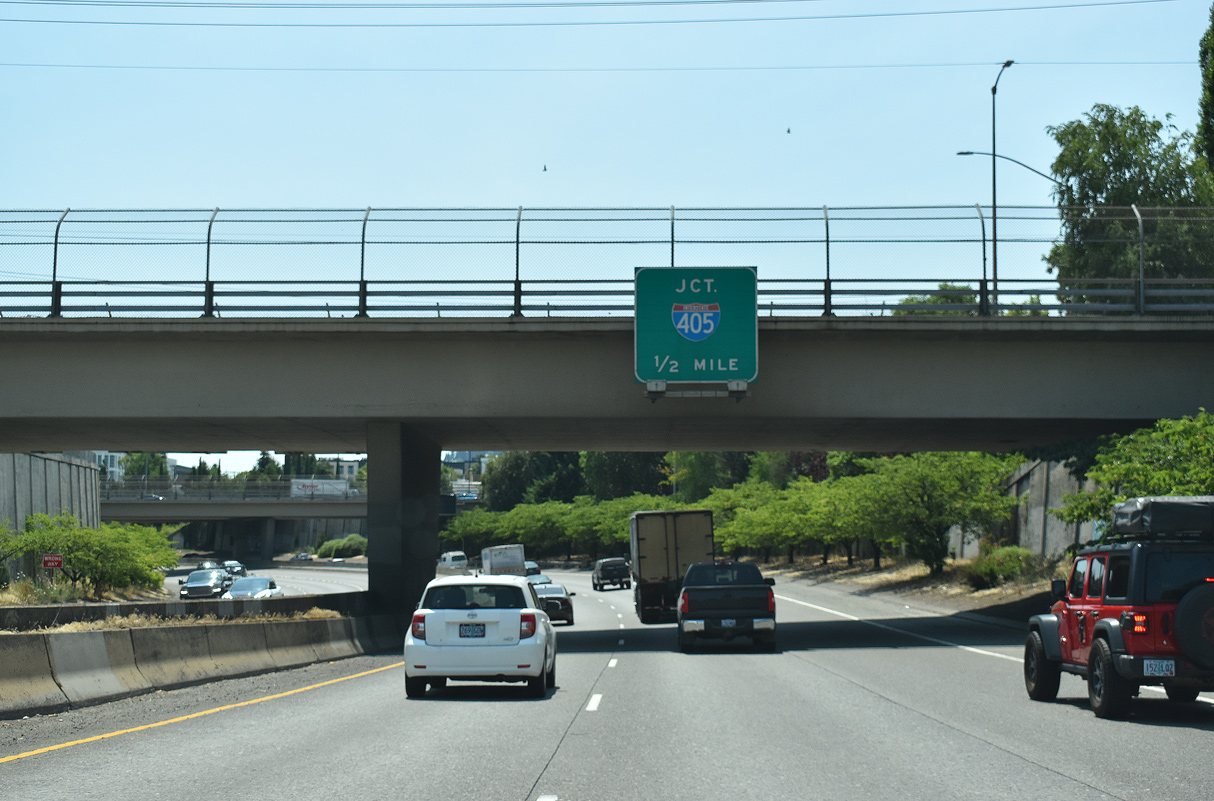
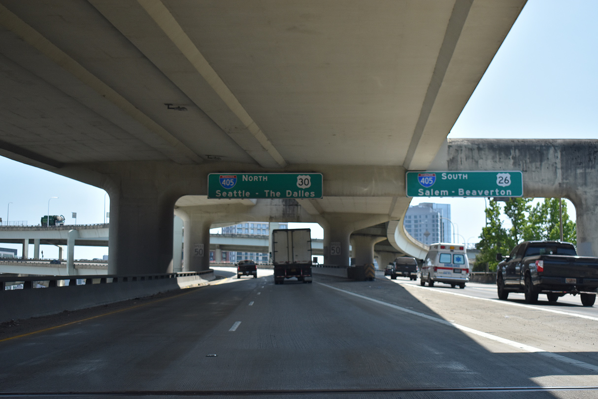
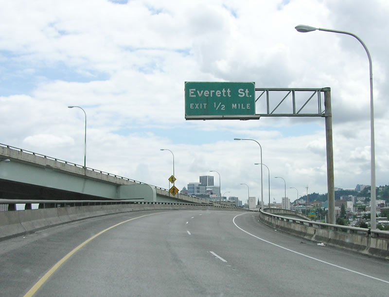
The short freeway proceeds one half mile to the exchange with Interstate 405. 07/20/23
North at
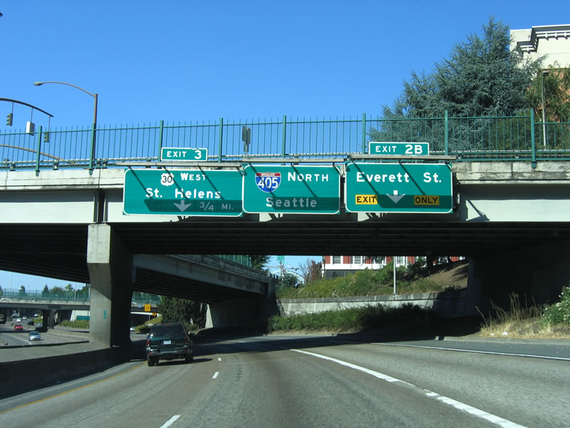
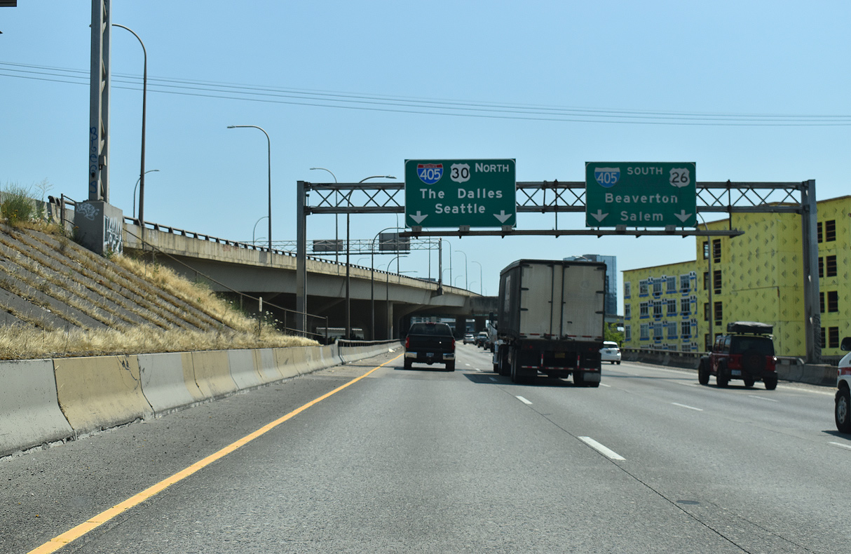
Northbound I-405 reaches Exit 2B to Everett Street. The succeeding exit is for U.S. 30, which would have been Interstate 505 had the rest of the freeway been built to the west. 08/27/06
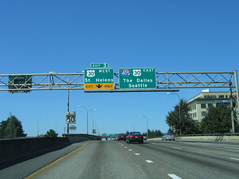
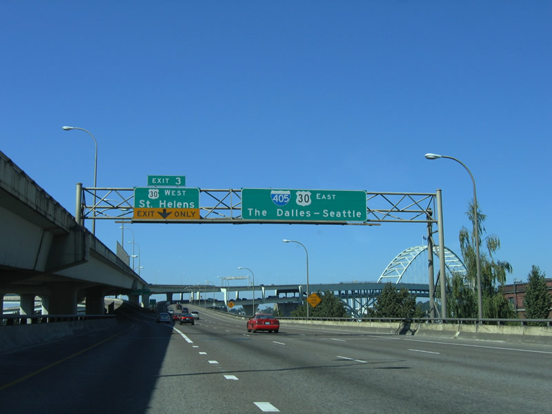
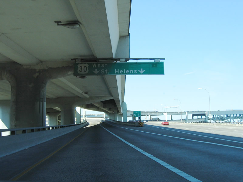
South West
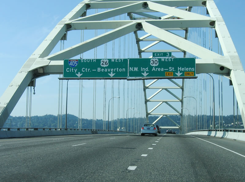
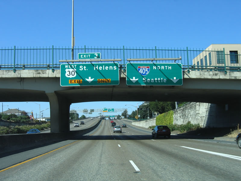
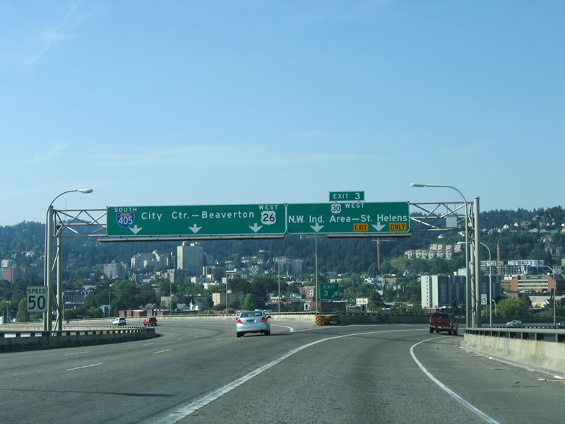
I-405/U.S. 30 travel on the upper deck of the Fremont Bridge across the Willamette west from Interstate 5 to their split at Exit 3. U.S. 30 leaves the Portland urban loop via a short freeway spur that was to be part of planned I-505. 09/02/06
West End of Freeway Spur ‐ (N.W. Yeon Ave) at Vaughn St – Portland, OR
West
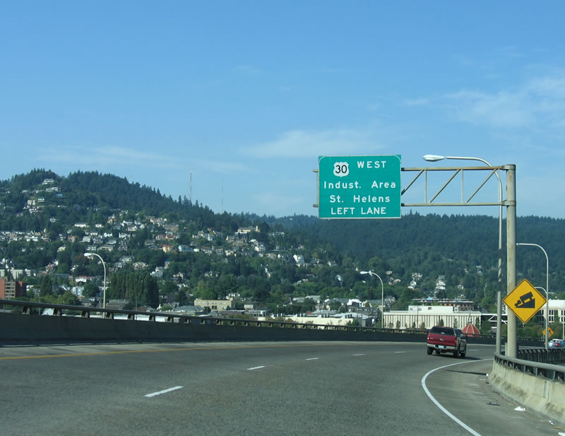
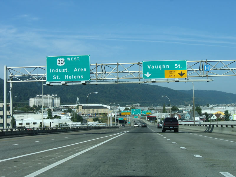
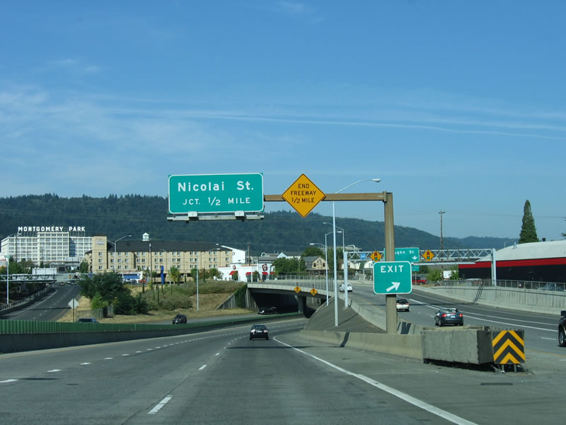
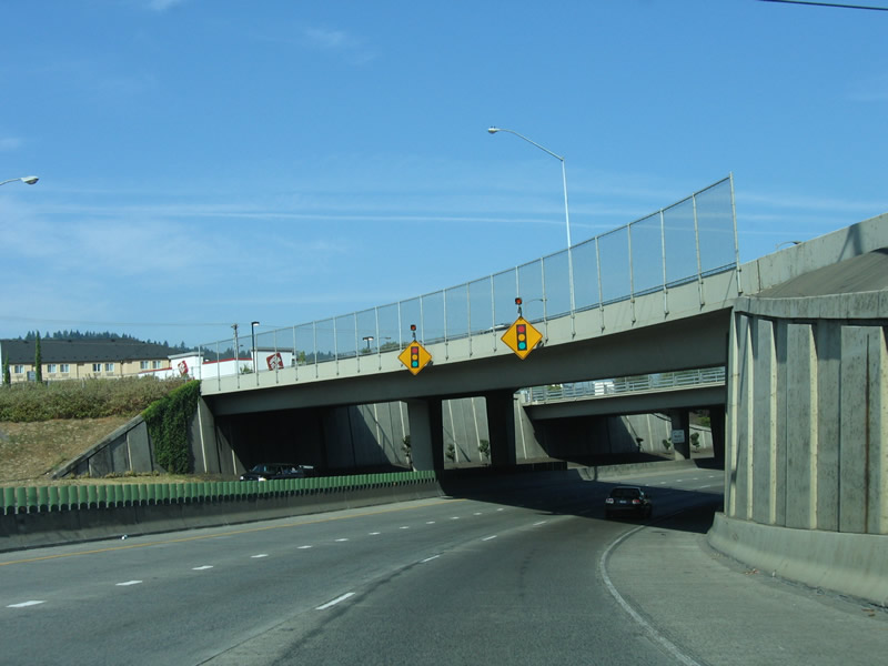
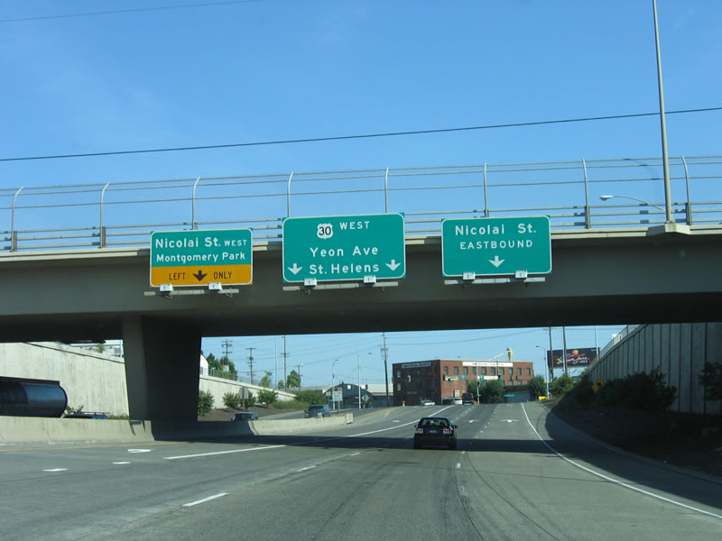
The freeway spur of U.S. 30 travels a half mile northwest from Interstate 405 (Stadium Freeway) to Vaughn Street. 09/02/06
East
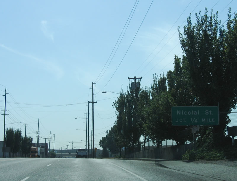
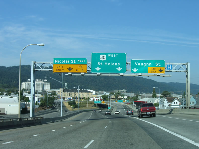
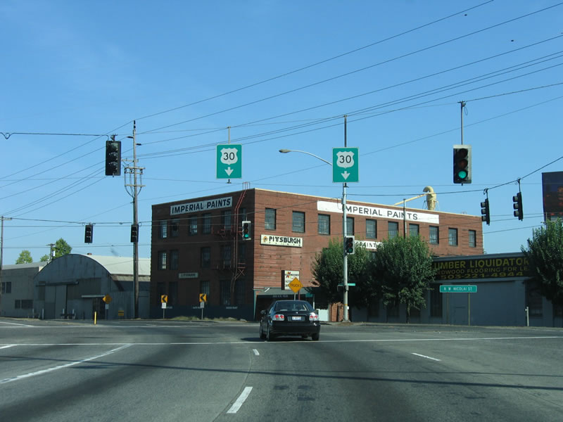
U.S. 30 transitions into the freeway built for Interstate 505 in a quarter mile at the intersection with Nicolai Street. 09/02/06

Nicolai Street at
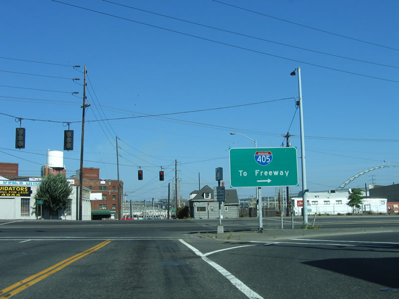
A guide sign directs motorists from Nicolai Street eastbound onto the freeway spur linking U.S. 30 (NW Yeon Avenue) with Interstate 405. 09/02/06
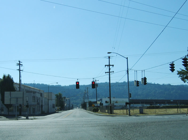
Planned West End  ‐ St. Johns Bridge – Portland, OR
Past Views Gallery (Tap to Expand / Collapse Section)
West at St. Johns Bridge
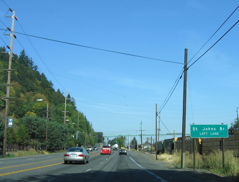
4.6 miles north of the freeway end at Nicolai Street in the N.W. Industrial Area, westbound U.S. 30 approaches U.S. 30 Bypass and the St. Johns Bridge. This is where Interstate 505 would have ended. 09/02/06
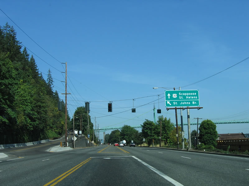
St. Johns Bridge - West at
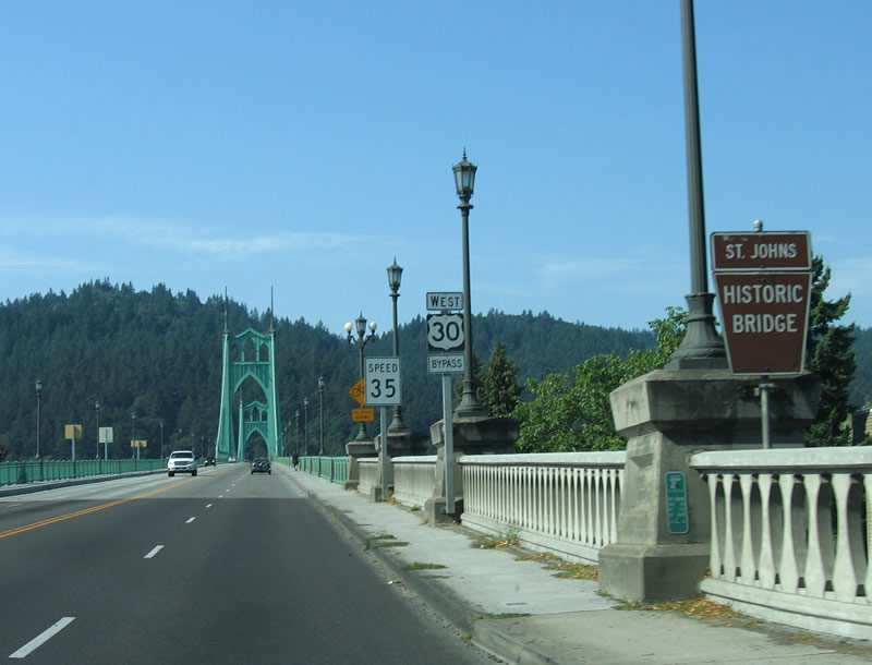
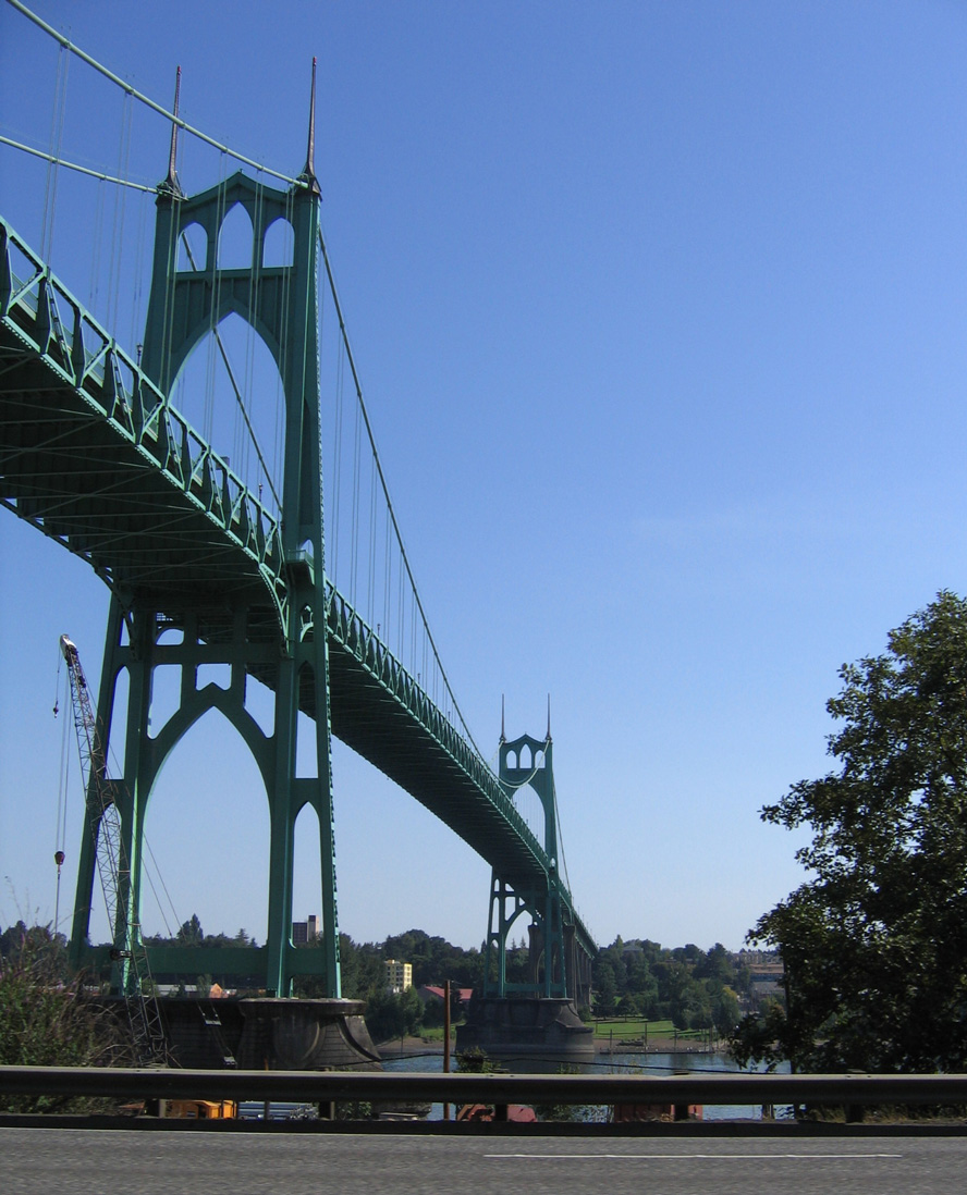
Crossing the St. Johns Bridge along U.S. 30 Bypass, the junction with I-505 would have been located at the south end of the span. Instead, the bridge connects with U.S. 30 near Forest Park. Designed by David B. Steinman, the green paint scheme of the St. Johns Bridge to promote harmony with the forest covered hills on the southern bank of the Willamette River.3 09/02/06
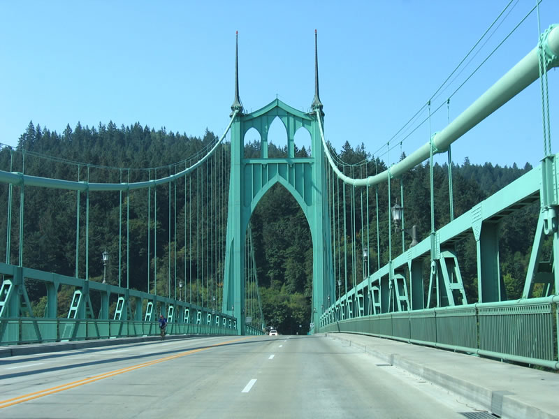
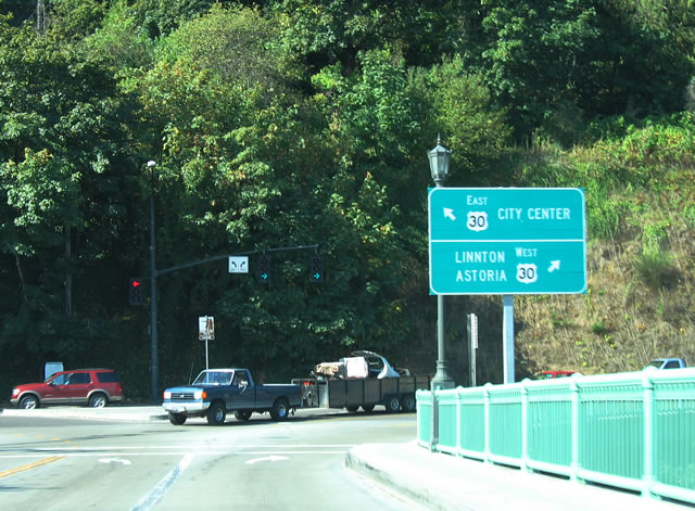
East at St. Johns Bridge
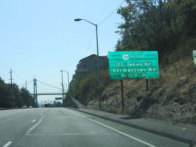
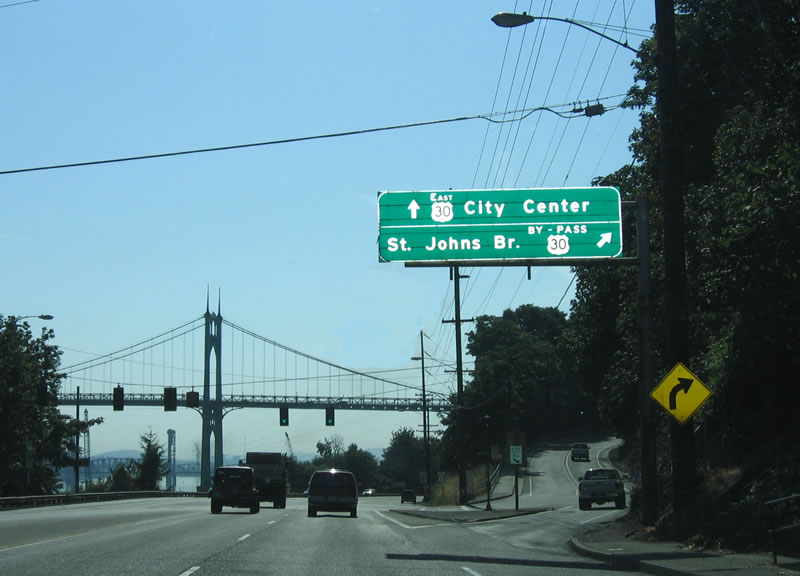
Interstate 505 would originated from U.S. 30 near or at the junction with U.S. 30 Bypass (St. Johns Bridge). The first advance sign for the St. Johns Bridge along NW St. Helens Road south appears a half mile out. 09/02/06
References
- a href="https://www.interstate-guide.com/main/oregon-interstate-background.pdf">Interstate 50th Anniversary: The Story of Oregon’s Interstates.
- Chris Elbert, email: "Re: NW Interstate Updates at Interstate-guide.com." March 16, 2005.
- Oregon Department of Transportation (ODOT). Retrieved from http://egov.oregon.gov/ODOT/HWY/GEOENVIRONMENTAL/docs/Historic_Bridge/Willamette_StJohns_Bridge.doc
- Baill Naito Company. Montgomery Park Building. Retrieved from http://www.billnaito.com/pages/montgomery.html