
Interstate 505 California
Overview
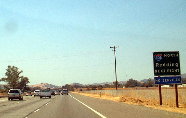
Interstate 505 in California connects I-80 in Vacaville with I-5 near Dunnigan. Generally rural, the freeway provides part of a long distance route linking the San Francisco Bay area with the Pacific Northwest. North from industrial park areas of Vacaville, I-505 stays east of the English Hills through a mix of ranch and agricultural areas to the outskirts of Winters, a city of around 7,000. Beyond there, the route bee lines north to SR 16 near the community of Madison, where sunflowers grace the area landscape, providing a truly magnificent site during the peak flowering period.
Crossing Cache Creek, Interstate 505 makes a gradual shift to the east, traversing farm land east of Hungry Hollow into the Dunnigan Hills. Emerging from the hills at Oat Creek, the final segment ties into I-5 amid agricultural land in northern Yolo County.
Mileage by State
| California | 33.02 mi |
Data Sources
December 31, 2025 Interstate Route Log and Finders List
History
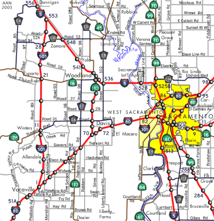
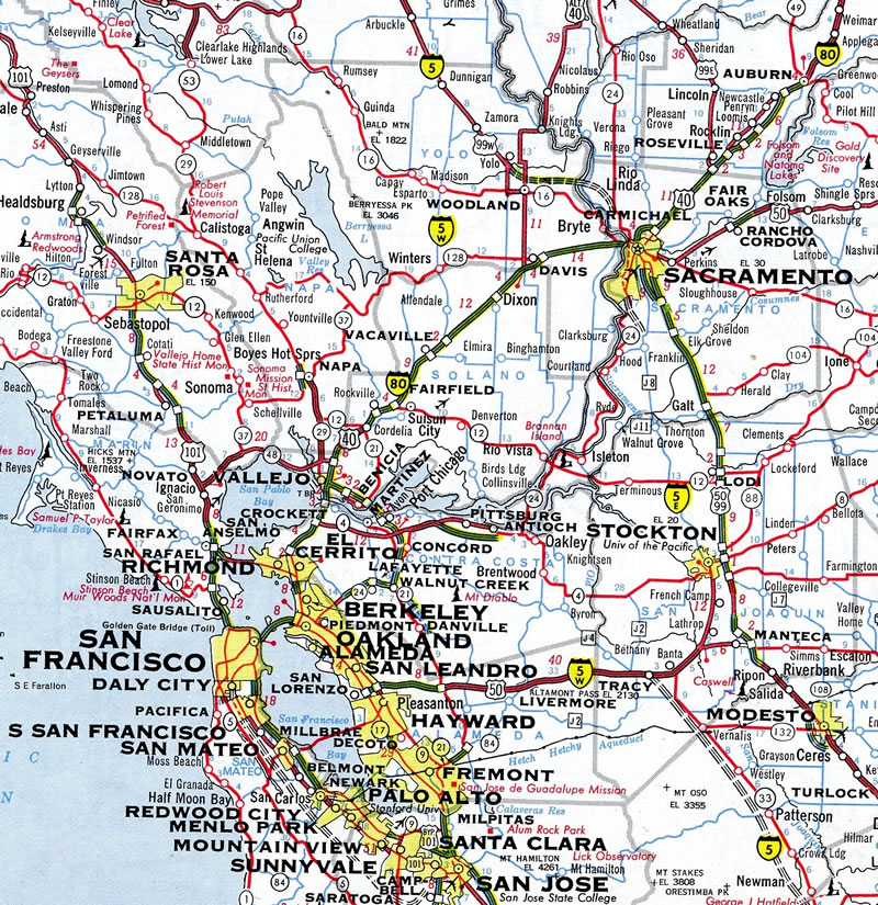
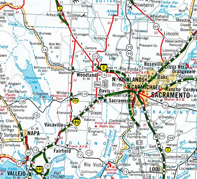
Like the eastern end of Interstate 580, the northern end of I-505 is located in a sparsely populated area in the Central Valley. Traffic counts along the route are some of the lowest of any California Interstate, with just 10,700 vehicles per day (vpd) recorded by Caltrans at the north end in 2015. Completion of the SR 113 freeway between I-80 at Davis and I-5 at Woodland in 1990 may have deferred some of the I-505 traffic headed to communities northeast of Vacaville along Interstate 80.
Interstate 505 was signed as Temporary I-505 between Vacaville to Dunnigan until 1972. The route consisted of a two lane road prior to that time, with two short freeway segments serving interchanges with SR 16 and SR 128. Staged construction through 1978 upgraded the remainder of I-505 to freeway standards. Completed first was the section from SR 16 to SR 128, followed by I-5 south to SR 16, and SR 128 south to I-80.1
Mid-State Tollroad
The state of California entered a franchise agreement with the California Toll Road Company (CTRC) to develop the Mid-State Tollroad along the planned SR 84 and SR 239 corridors between I-680 at Sunol and SR 4 at Antioch. This included a connection to the I-580 / 205 interchange near Tracy via future SR 239. An extension of the toll road included a northern segment into the Sacramento / San Joaquin River Delta.2
Had this extension been constructed, potential corridors included possible connections with the south end of Interstate 505, the freeway along SR 113 near Davis, or a route along SR 84 toward Sacramento. However due to environmental concerns north of Antioch, costs of bridges spanning the San Joaquin and Sacramento Rivers, and political opposition, none of these proposals came to fruition.3 Caltrans eventually deleted portions of the project, including the extension north to Solano County, in 1993.2
The rest of the proposed toll road remained in question, having been suspended due to political considerations. The project web site referenced a $600 million, 40 mile or more four lane toll road running northeast from I-680 near Sunol to SR 4 near Antioch.2
North End  ‐ near Dunnigan, CA
 North at
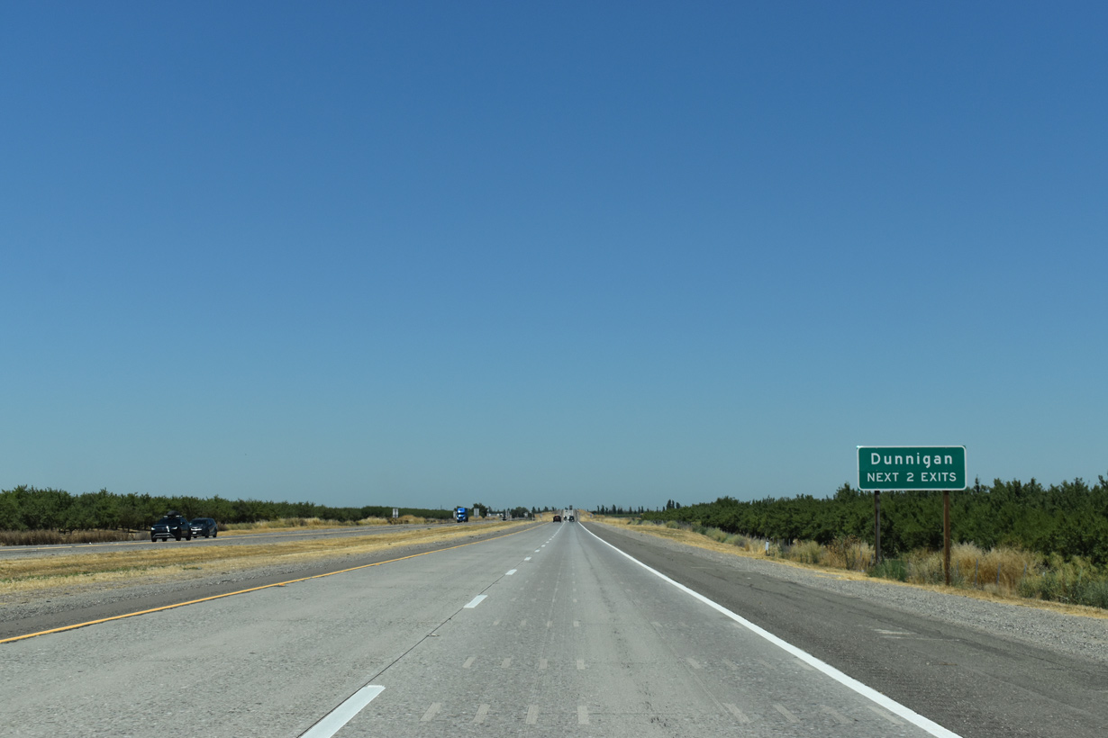
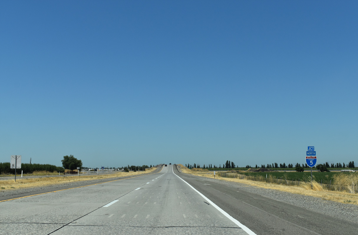
The north end of Interstate 505 ties into I-5 ahead of two exits for the census designated place of Dunnigan. 07/15/23
South at
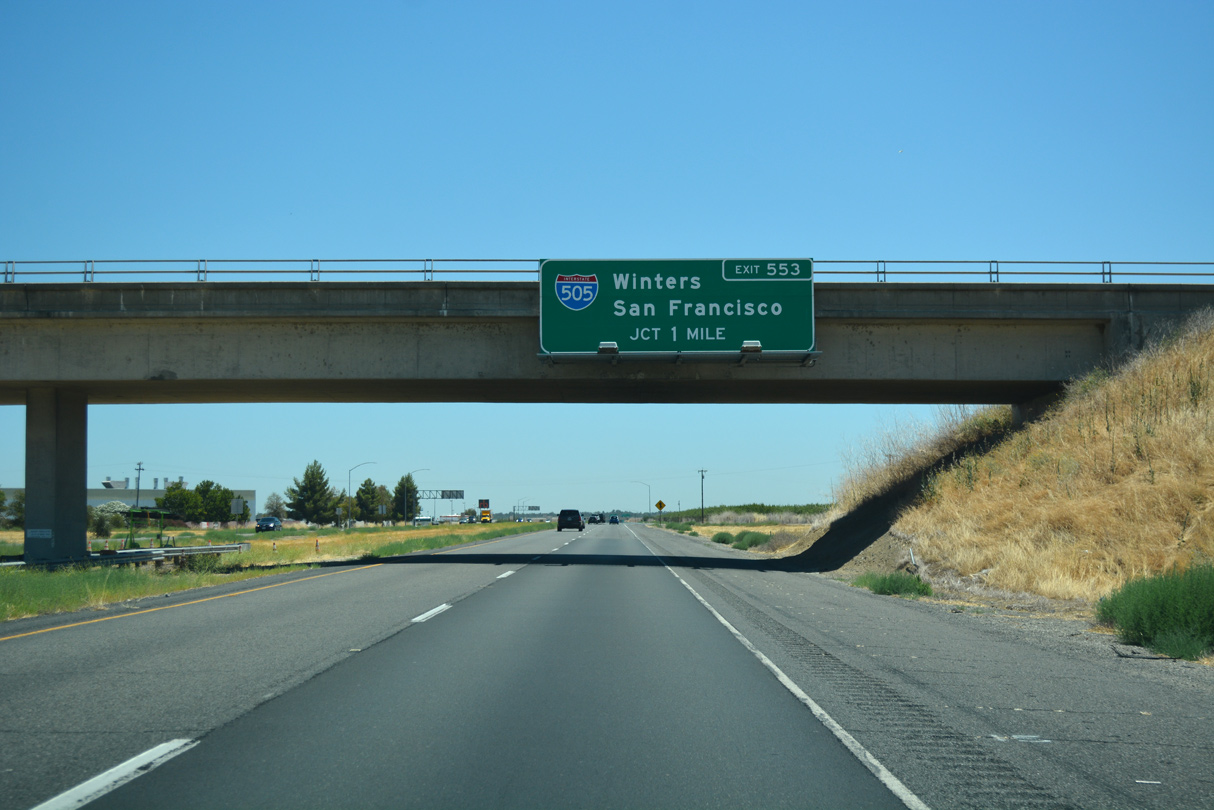
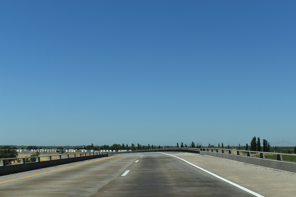
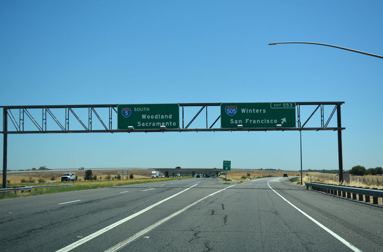
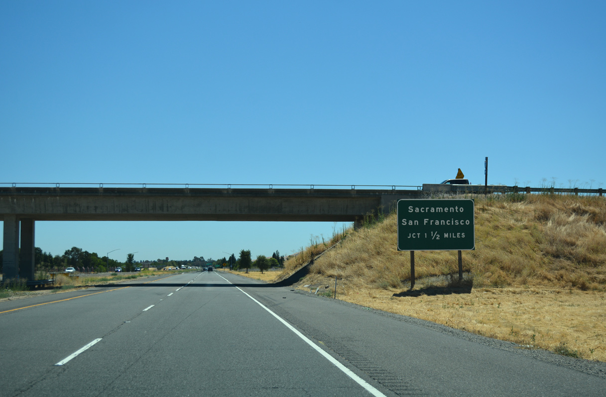
Road 8 spans Interstate 5, one mile north of the wye interchange (Exit 553) with I-505 south. 07/11/18
North End – Past Views
Past Views Gallery (Tap to Expand / Collapse Section)
South at
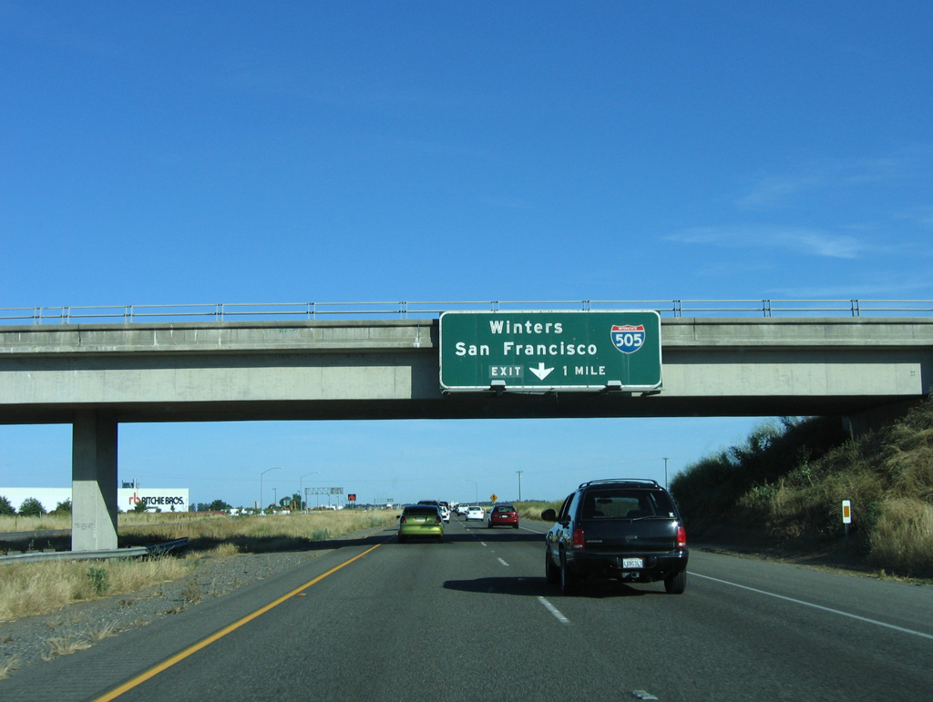
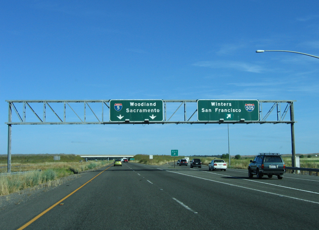
Button copy signs for Interstate 505 leading south to Winters and Vacaville were replaced by 2012. 05/29/06
South End  ‐ Vacaville, CA
South at
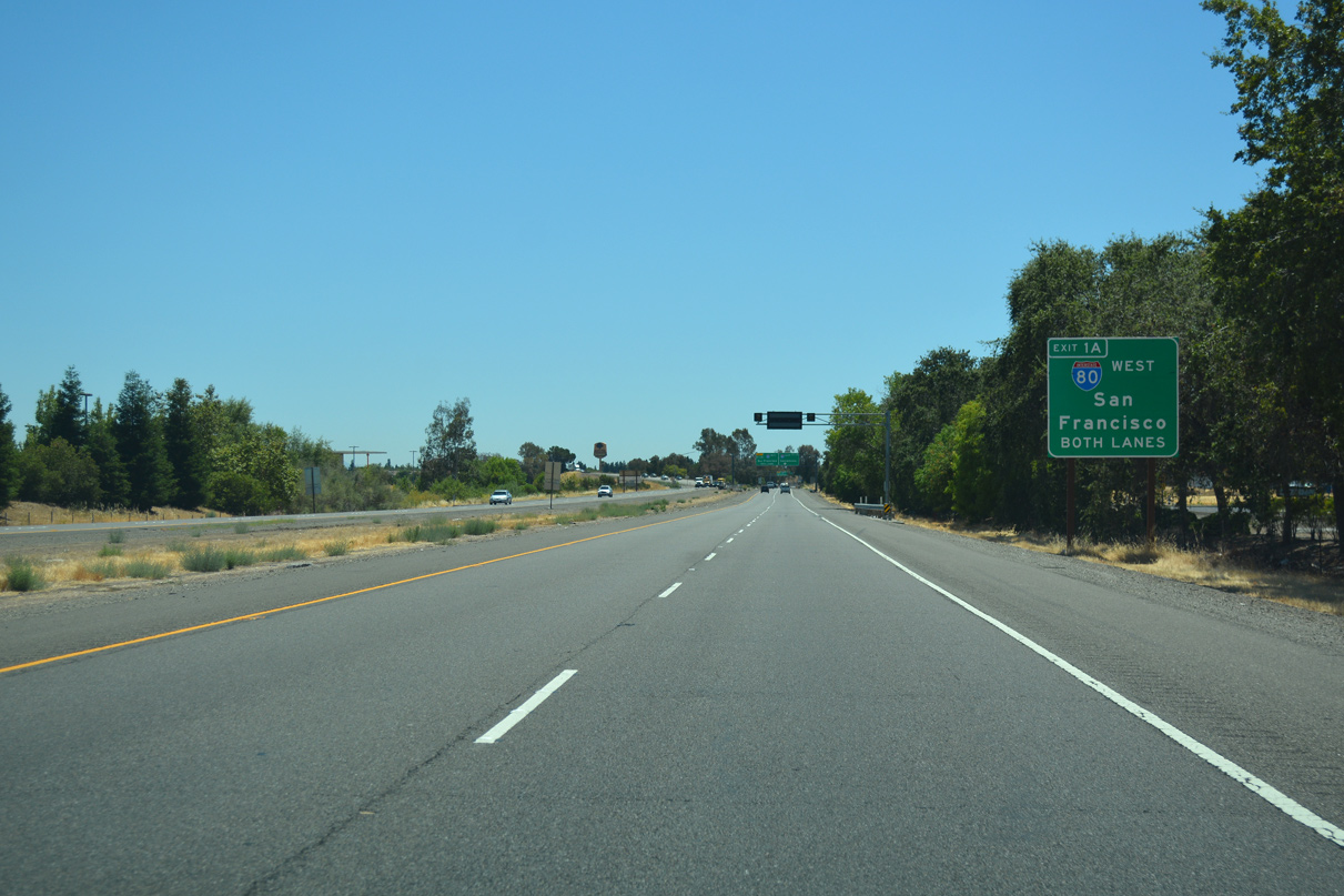
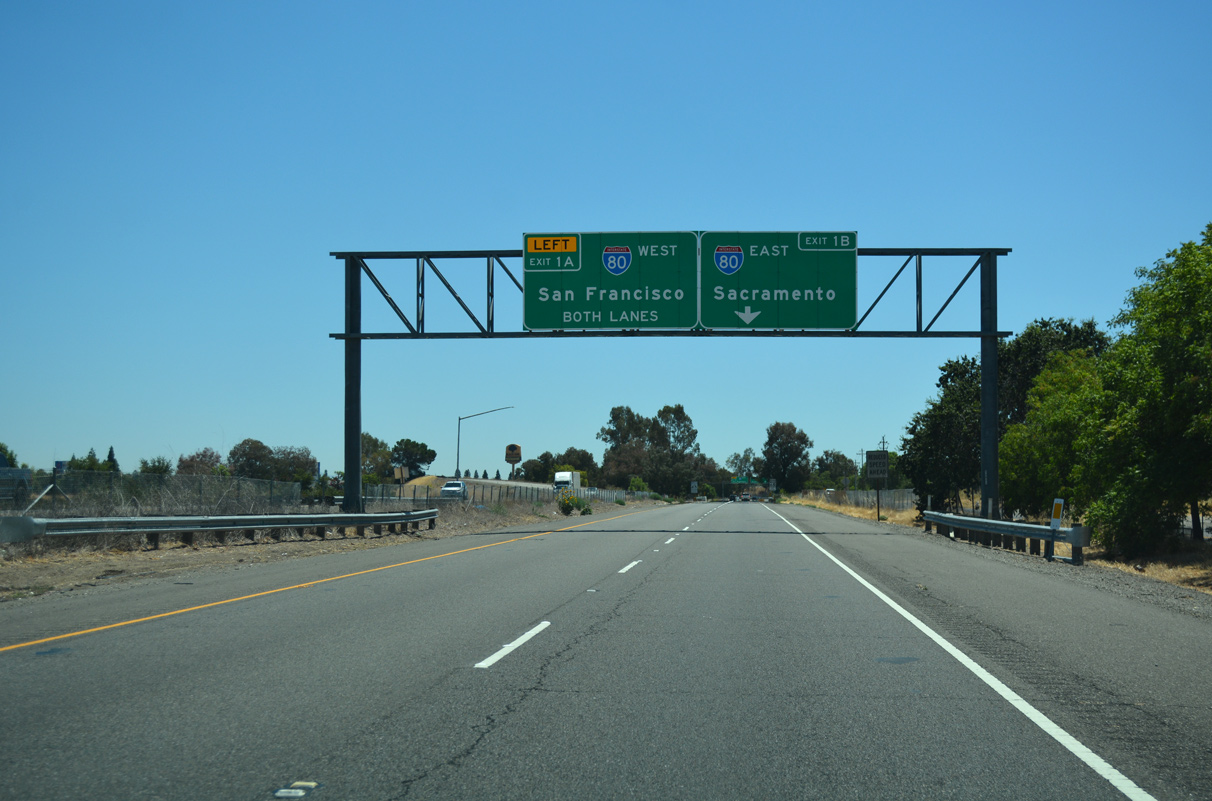
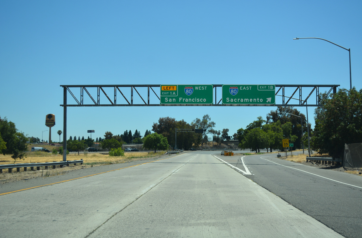
The first sign for Interstate 80 appears within the diamond interchange (Exit 1C) joining I-505 with Vaca Valley Parkway. 07/11/18
East at
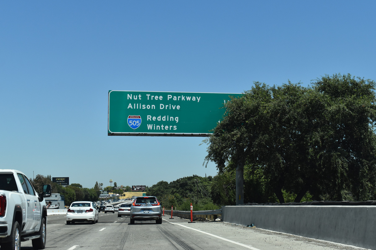
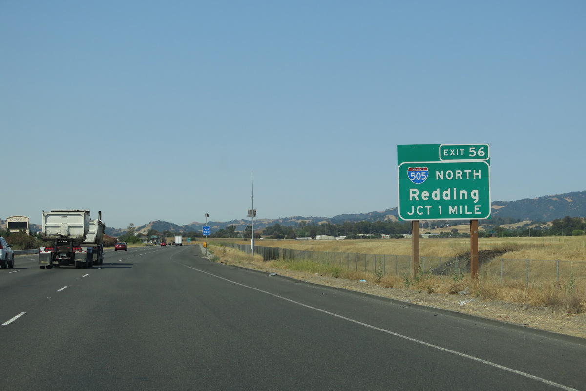
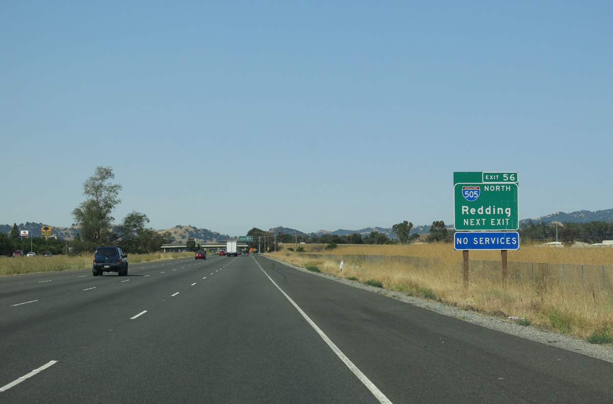
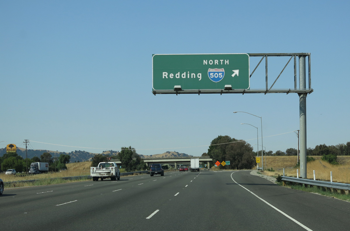
Interchange sequence sign posted 1.5 miles ahead of I-505 along I-80 east at the Elmira Road underpass. I-505 provides a cutoff from I-80 east to I-5 north for Red Bluff, Redding and Portland Oregon. 07/15/23
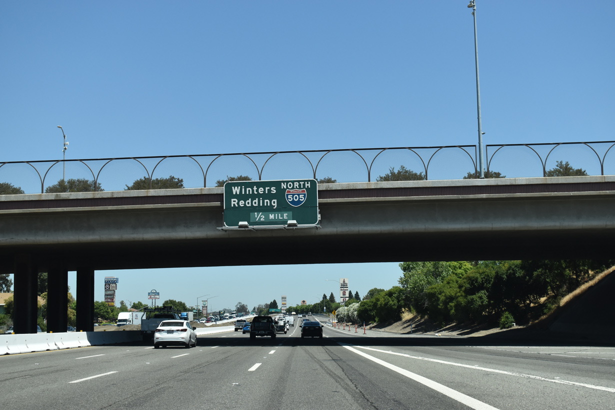
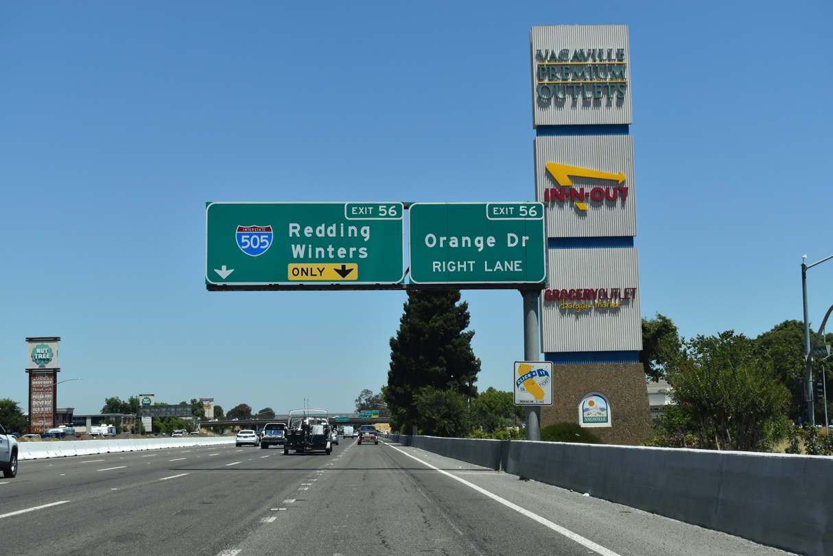
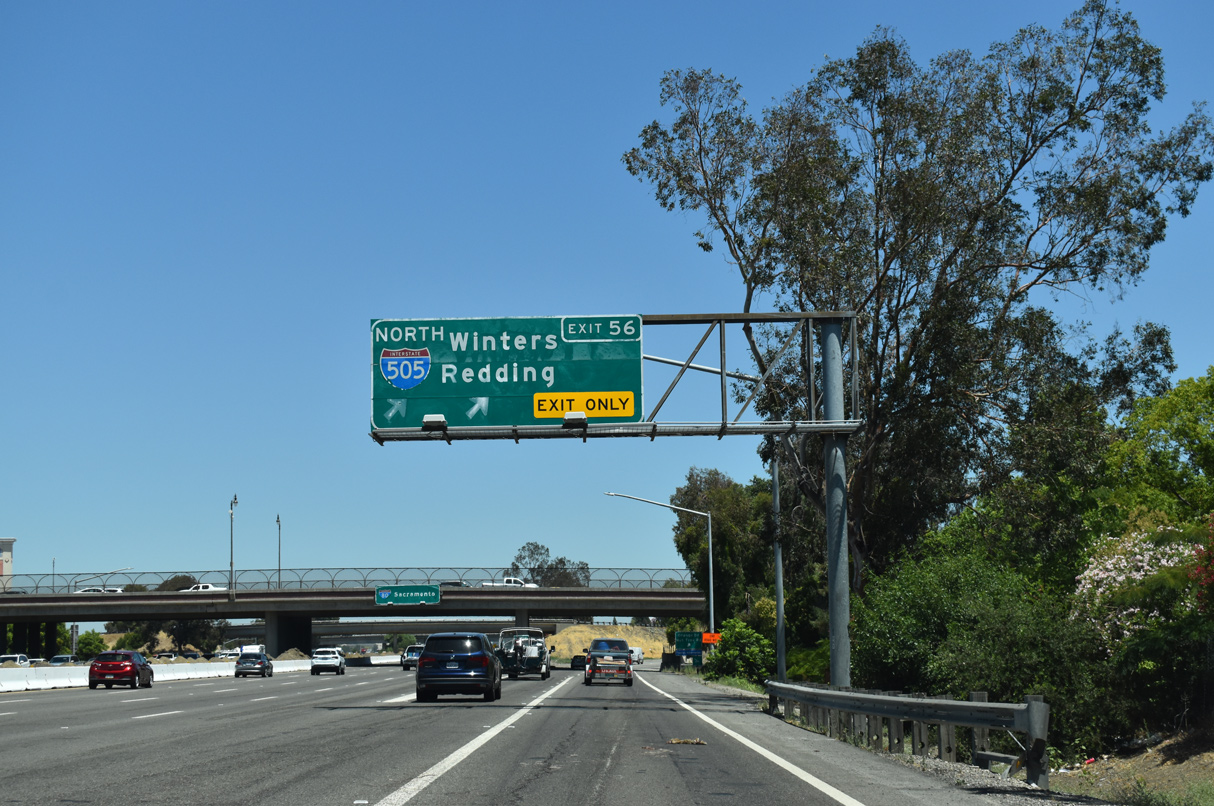
West at
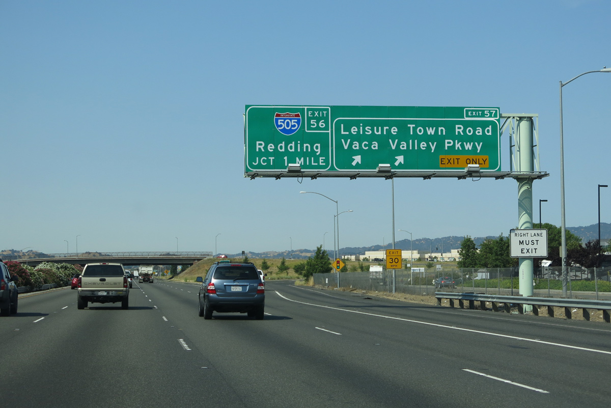
Interstate 80 angles southwest through Vacaville to meet I-505 one mile west of Leisure Town Road. Vaca Valley Road replaced a portion of Leisure Town Road, with it constructed as a new arterial leading west to I-505 at Exit 1. 07/02/13
South End – Past Views
Past Views Gallery (Tap to Expand / Collapse Section)
at
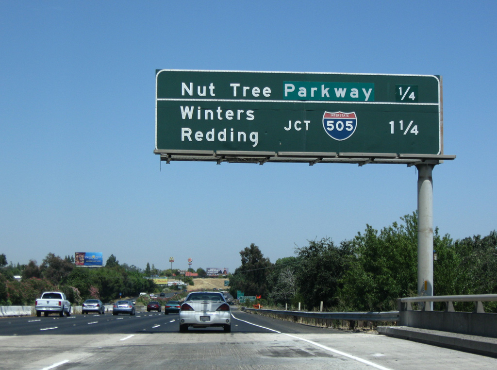
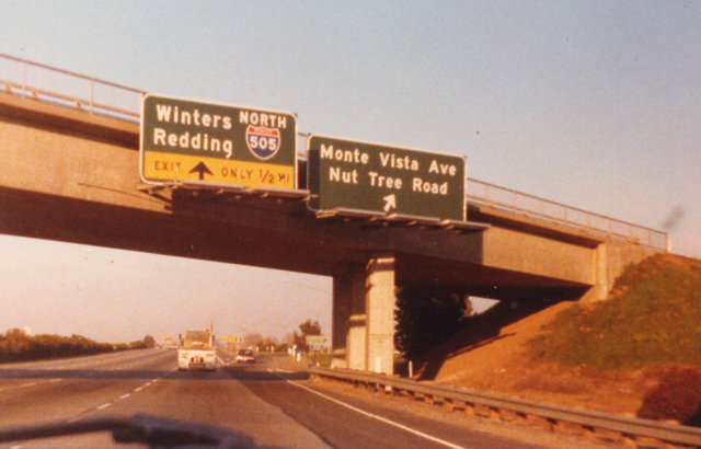
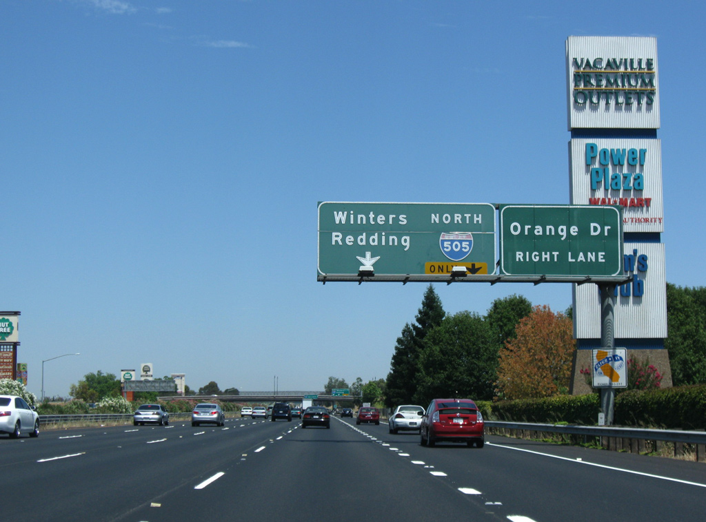
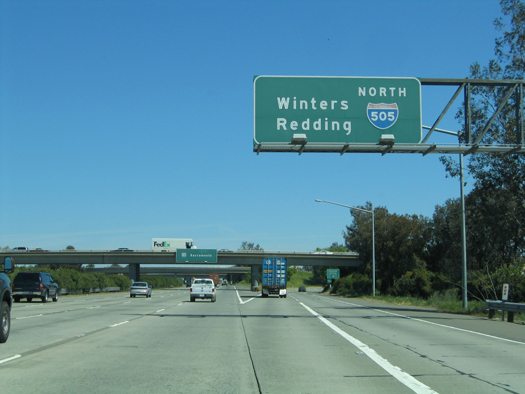
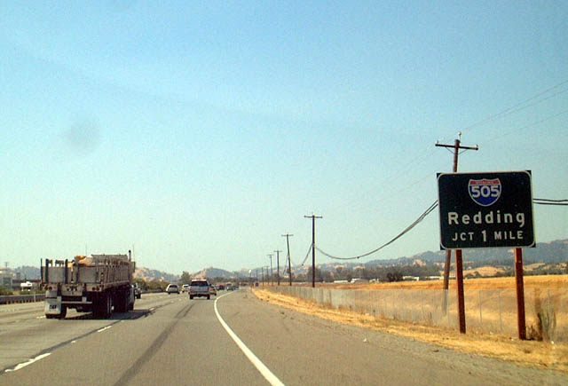
Interstate 80 east spans Mason Street / Elmira Road ahead of Ulatis Creek and Exit 55 to Nut Tree Parkway. Replaced by 2016, this interchange sequence sign was the first reference of I-505. 07/18/09
References
- Faigin, D. (2025, August 6). Route 505. California Highways. Retrieved from https://www.cahighways.org/ROUTE505.html
- California Department of Transportation (Caltrans). Mid-State Tollway. Retrieved from http://www.dot.ca.gov/hq/paffairs/about/toll/midstate.htm
- Rouse, Joe.
- Kearny Real Estate Company. Vaca Valley Business Center. Retrieved from http://www.kearny.com/pdf/Vaca_Valley_Business_Center.pdf