
Interstate 470 Ohio / West Virginia
Overview
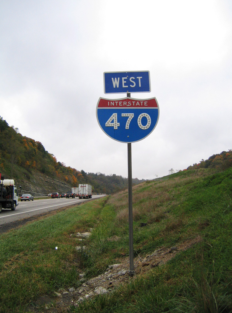
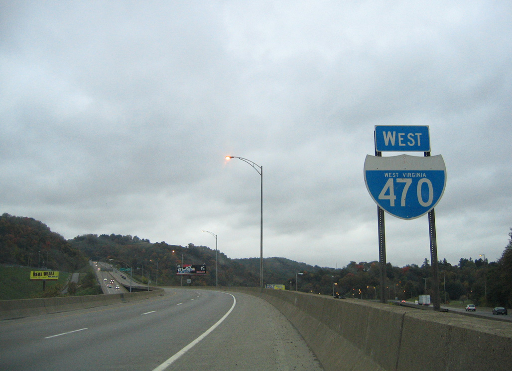
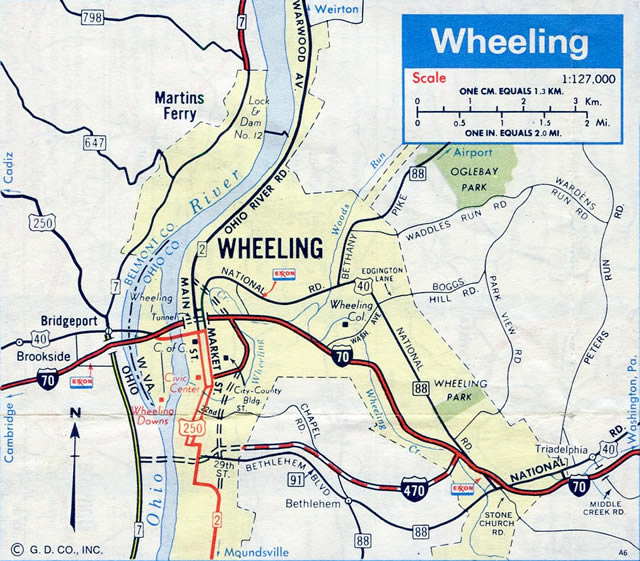
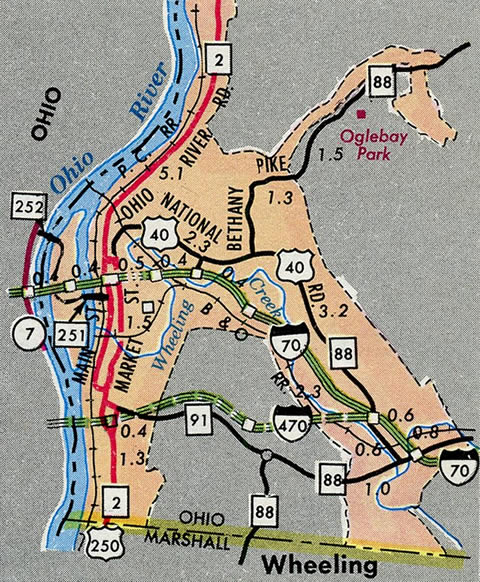
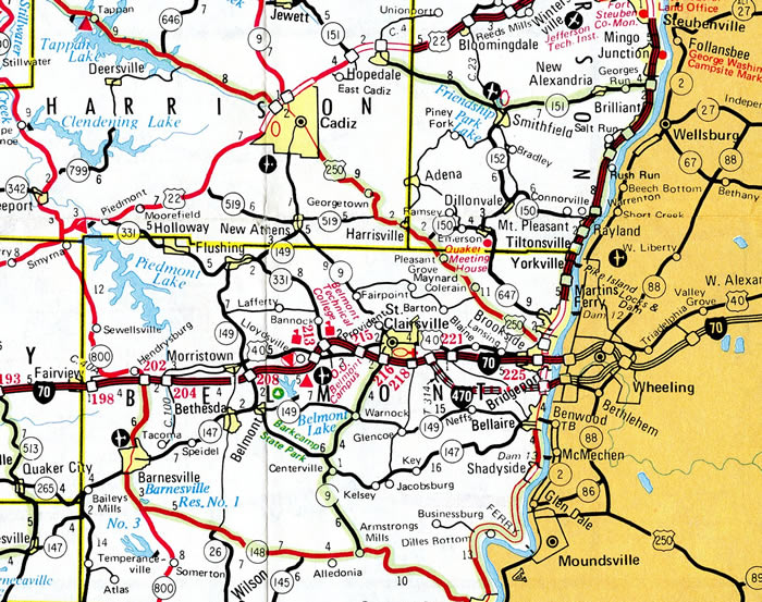
Interstate 470 travels south from I-70 near St. Clairsville, Ohio to the Elm Grove community in east Wheeling, West Virginia. The freeway takes a more linear path as compared to the older urban route along Interstate 70 to the north. It also provides the main trucking route across the area, as I-70 passes through the Wheeling Tunnel near Downtown, Wheeling.
2015 traffic counts peak at 44,456 vehicles per day (vpd) on I-470 across the Ohio River bridge. A comparable amount takes I-70 through Wheeling, with 46,626 vpd recorded by WVDOT in 2014. Within Ohio, ODOT recorded 30,810 vpd along I-470 to the north of Bellaire in 2012, while I-70 topped out at 27,540 vpd at a location just east of the split with Interstate 470.
Mileage by State
| Ohio | 6.92 mi |
| West Virginia | 3.94 mi |
Data Sources
June 18, 2025 Ohio Department of Transportation (ODOT) Straight Line Diagrams. https://www.transportation.ohio.gov/programs/technical-services/tech-services-card-catalog/sld
December 31, 2021 Interstate Route Log and Finders List
History
The bypass loop around Wheeling was part of the statewide urban Interstate numerology submitted to the American Association of State Highway Officials (AASHO) by the Ohio Department of Highways. A map published by Ohio in March 1958 assigned Route D-70 to the loop. This eventually changed to Route 470, and was approved as part of the statewide plan by AASHO on November 10, 1958.
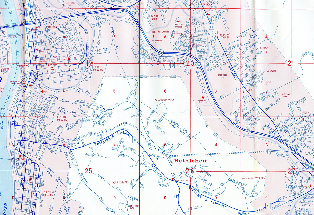
Interstate 470 was constructed through West Virginia between 1971 and 1978 at a cost of $142 million. The four mile long bypass of Wheeling includes a four level interchange with U.S. 250. It was the most expensive part of the West Virginia Interstate system constructed at the time.1
The tied arch bridge carrying Interstate 470 across the Ohio River was constructed starting in 1975.2 I-470 in Ohio opened to traffic following a ribbon cutting ceremony attended by Governors Richard Celeste and Jay Rockefeller on November 18, 1983.3
The Ohio portion of the freeway closed on September 12, 1996 when voids were discovered beneath the roadway. The formations were the result of abandoned underground coal mines and shafts. Work to stabilize the roadway required the digging of a 1,700 foot long, 150 foot wide hole at a depth of 70 feet. Once filled in, the freeway reopened to traffic on December 20, 1996.4
East End  ‐ Wheeling, WV
East at 
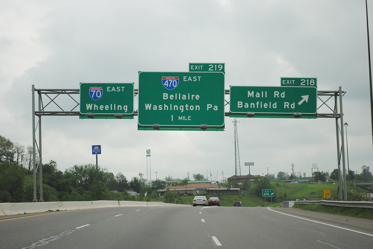
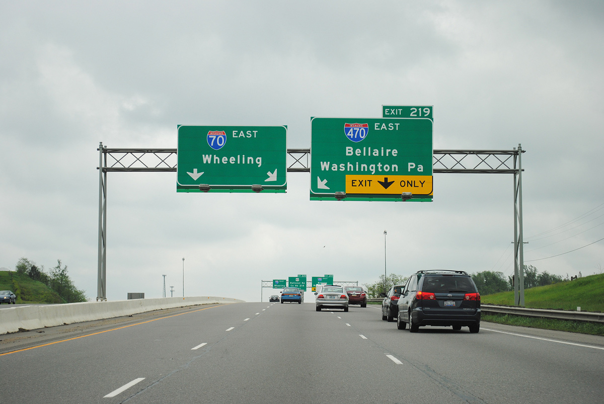
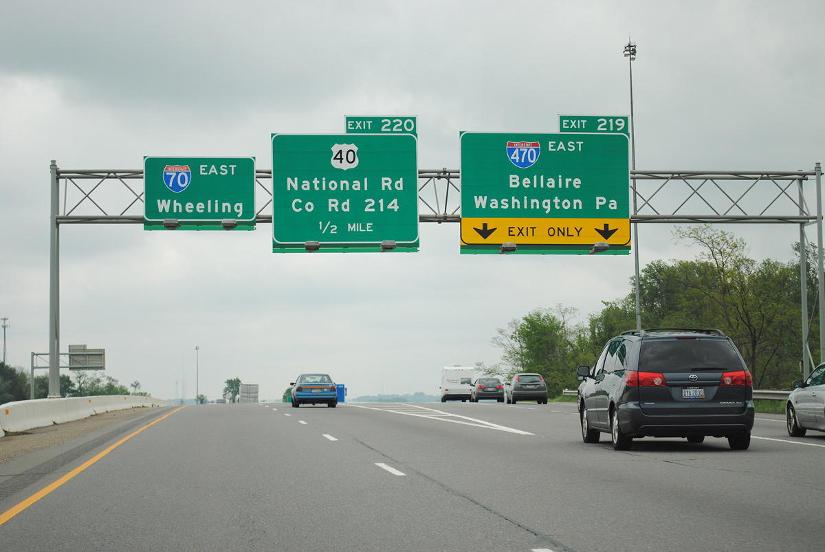
The initial sign for the I-70/470 split appears at Exit 218 / Mall Road for Ohio Valley Mall just outside the city of St. Clairsville. Photo by Ian Ligget (05/14/11).
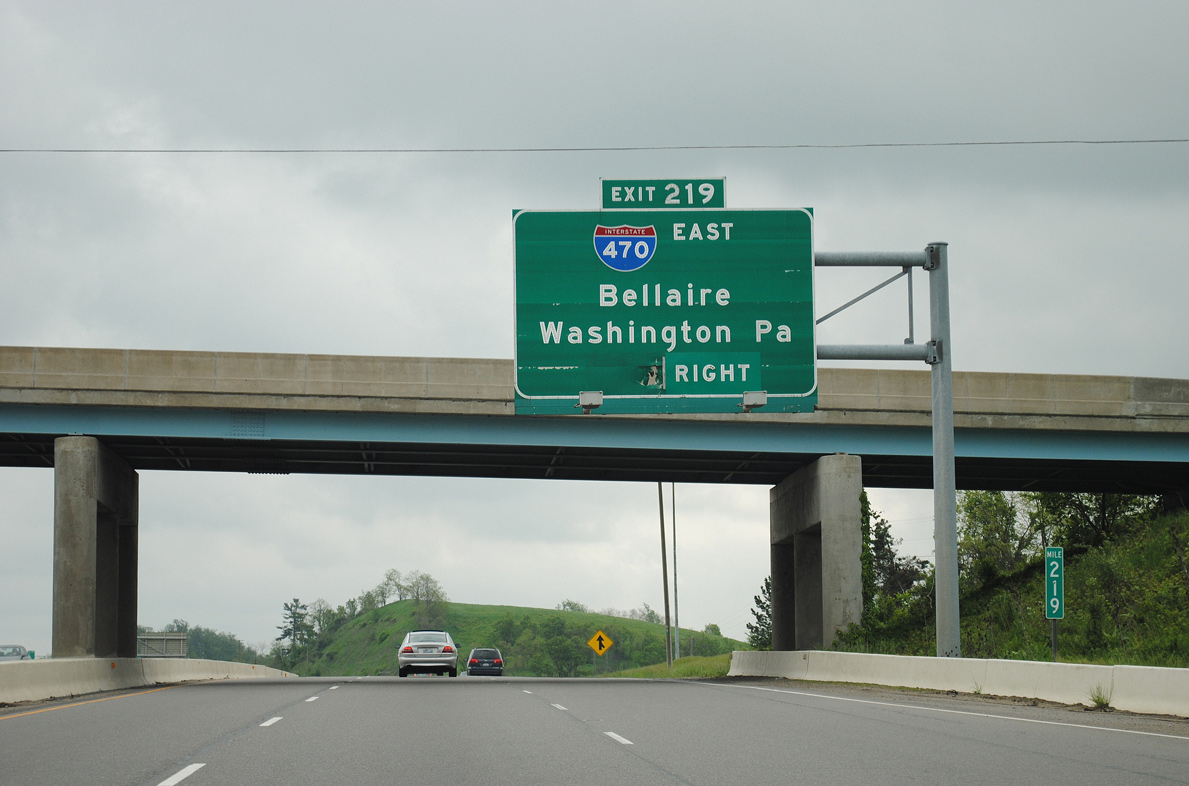
East End – Past Views
Past Views Gallery (Tap to Expand / Collapse Section)
West at
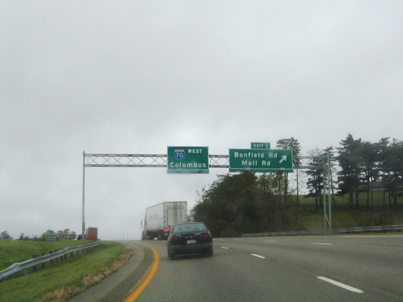
The west end of I-470 partitions with two lanes joining I-70 west ahead of St. Clairsville and a long off-ramp to Banfield Road. The half diamond interchange (Exit 1) at Banfield Road was originally accessible from the I-70 mainline, but now motorists headed to Ohio Valley Mall must continue west to Exit 218 (Mall Road). This set of button copy signs was replaced by 2008. 10/15/04
West End ‐ near Blaine, OH
West at
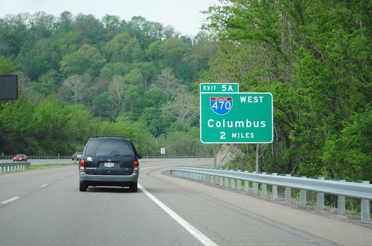
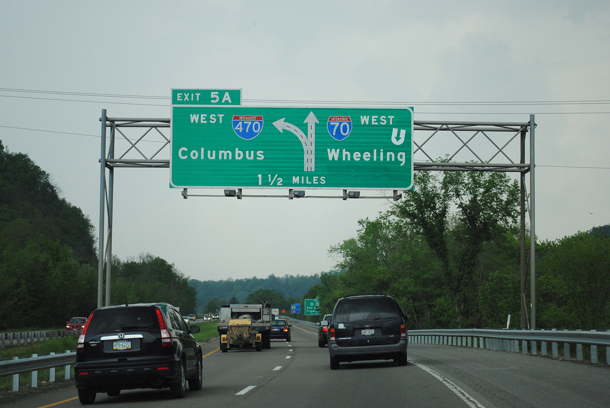
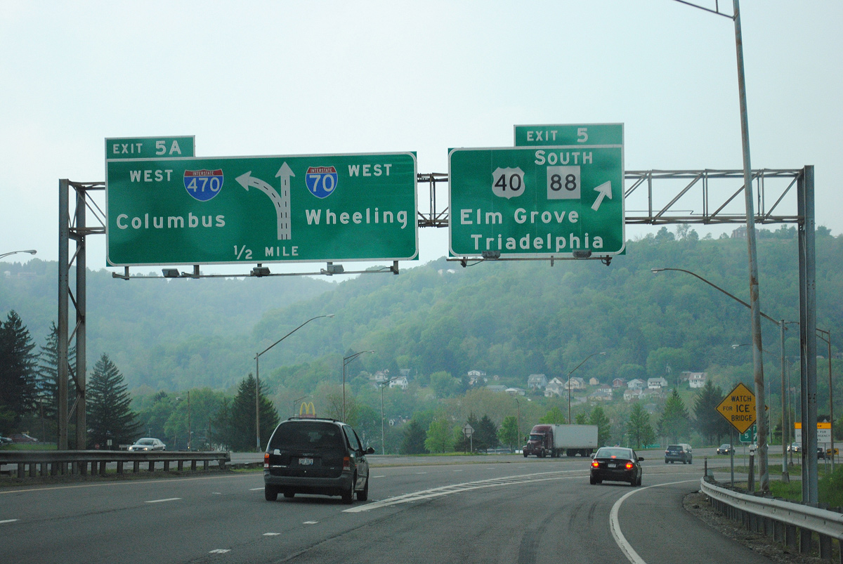
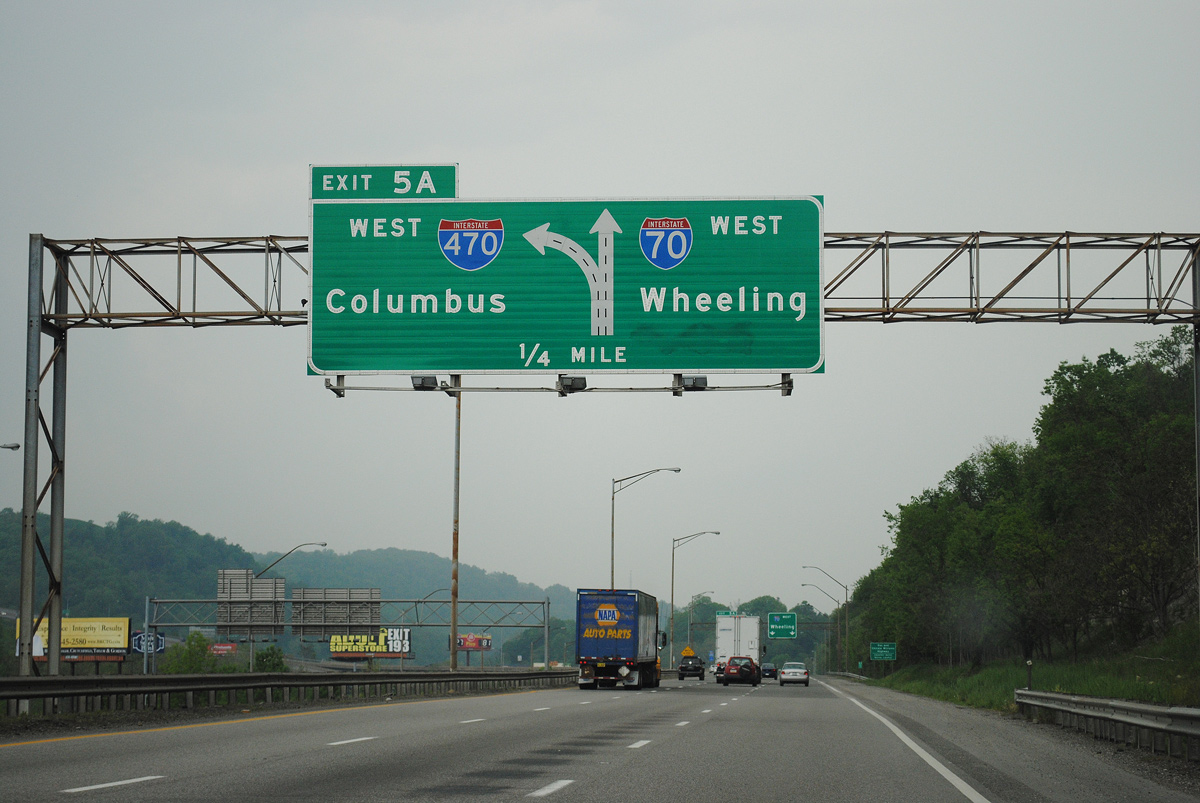
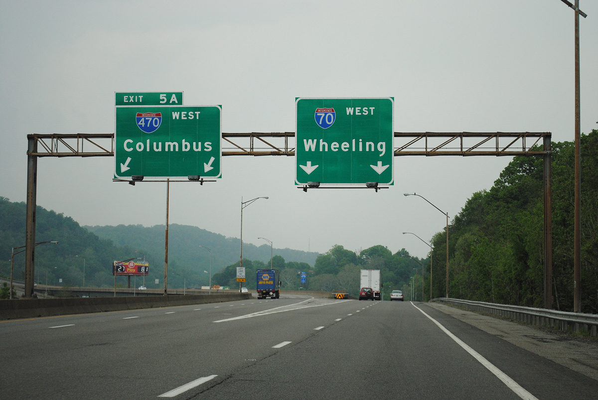
Winding southwest by Tridelphia, I-70 advanced two miles from a button copy sign to Exit 5 A with Interstate 470. A sign bridge replaced this ground level assembly by 2015. Photo by Ian Ligget (05/12/11).
West End – Past Views
Past Views Gallery (Tap to Expand / Collapse Section)
East at
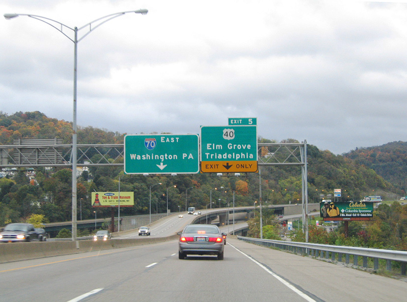
I-470 east converges with I-70 east ahead of the loop ramp (Exit 5) for U.S. 40 at Elm Grove in Wheeling. The freeway lowers past the J.B. Chambers I-470 baseball and softball Complex and spans Wheeling Creek and U.S. 40 at the wye interchange with Interstate 70. This set of signs was replaced by 2007. 10/15/04
References
- "Back to the road future Interstate system paved way for progress, travel in W.Va." Charleston Daily Mail, May 29, 2006.
- Structurae. Wheeling I-470 Ohio River Bridge. Retrieved from https://structurae.net/en/structures/wheeling-i-470-ohio-river-bridge
- "Two-state handshake." Akron Beach Journal (OH), November 19, 1983.
- "Interstate Reopens After Crews Fill Old Mines Under Roadway." Plain Dealer, The (Cleveland, OH), December 22, 1996.