Former Interstate 420 Georgia

Overview
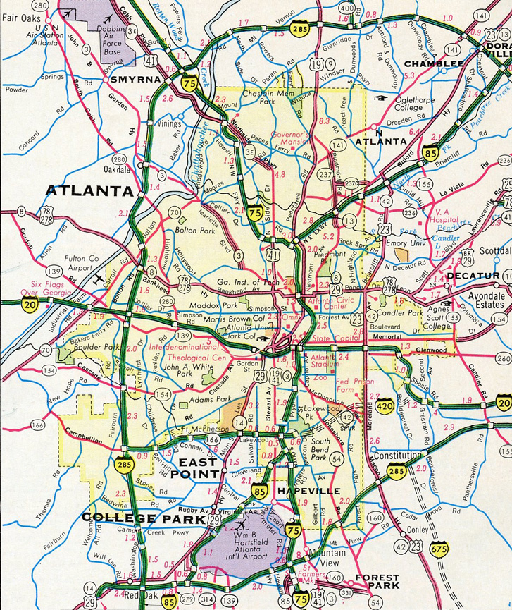
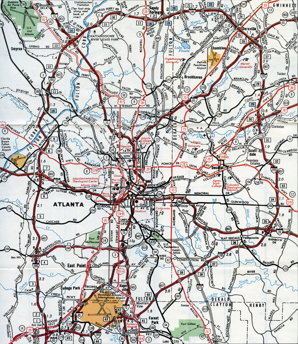
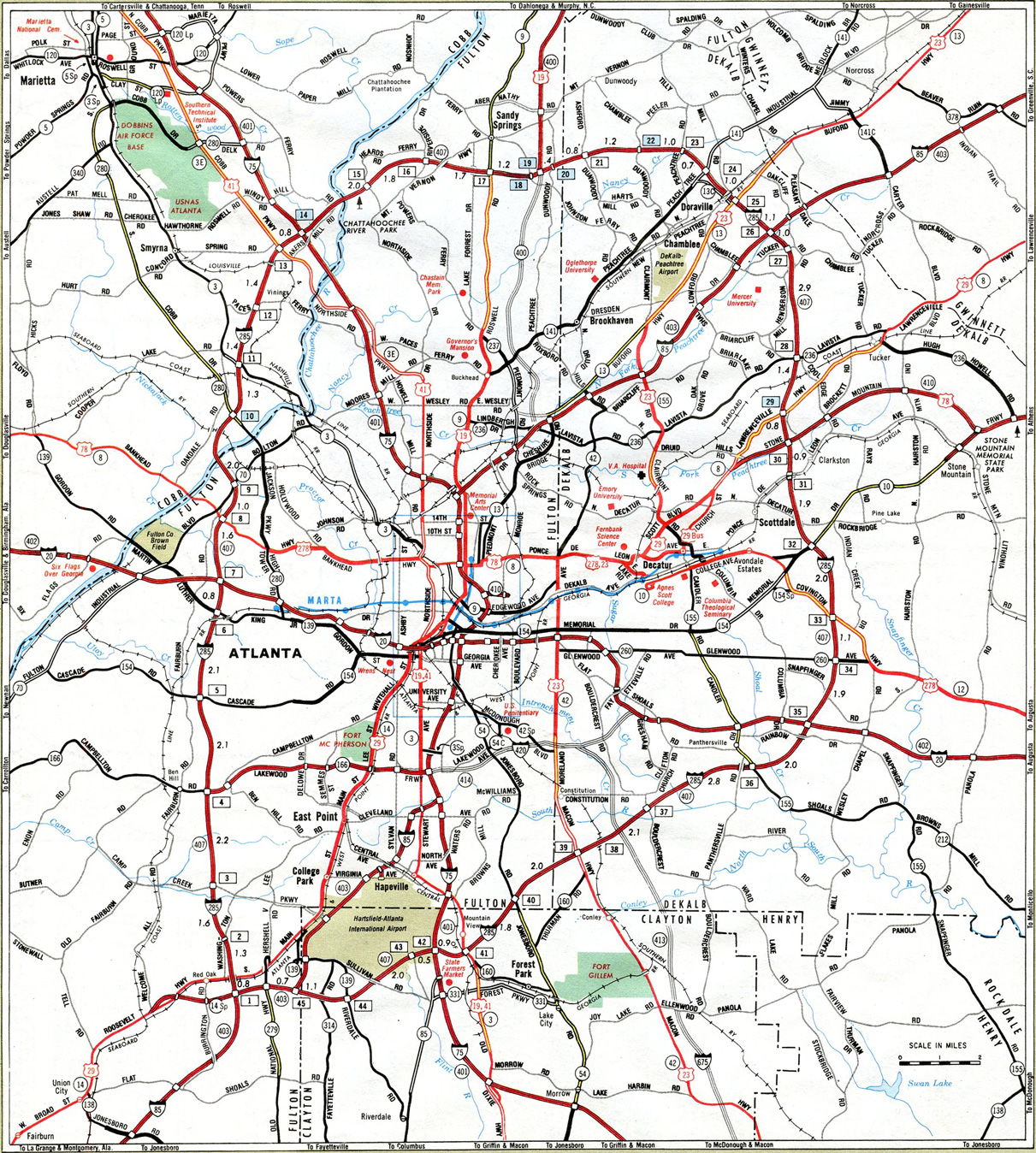
Interstate 420 represents a planned southern bypass of the Atlanta Central Business District by way of the Lakewood Freeway (SR 166). The Interstate was to run east from I-285 in west Atlanta along northern reaches of East Point to reenter Atlanta through Lakewood Heights. This portion was built in the mid-1960s and signed as Georgia State Route 166. The remainder of the route east to Interstate 20 near Gresham Park was unconstructed.
Mileage by State
| Georgia | 6.62 mi |
Data Sources
December 31, 2021 Interstate Route Log and Finders List
History
Interstate 420 was approved by the American Association of State Highway and Transportation Officials (AASHTO) on June 17, 1975. It was never signed along the Lakewood Freeway however, and I-420 was subsequently dropped on the Georgia Official Highway Map in 1985. The freeway was renamed Langford Parkway in 1995 to honor Arthur Langford, Jr., a former Georgia State Senator and Atlanta City Councilman.
East End  ‐ Lakewood Avenue – south Atlanta, GA
East at Lakewood Ave
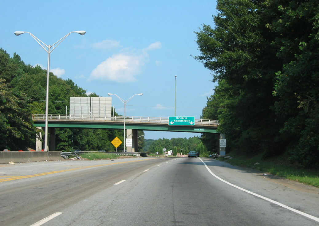
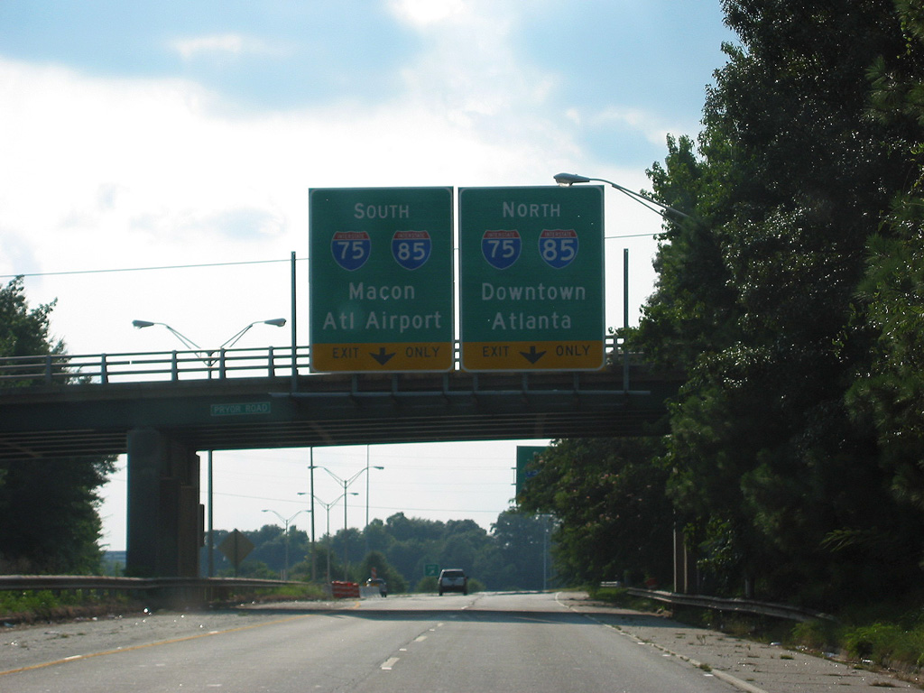
Pryor Road spans Langford Parkway midway between the Downtown Connector (I-75/85) and the freeway end at Lakewood Avenue. 08/22/03
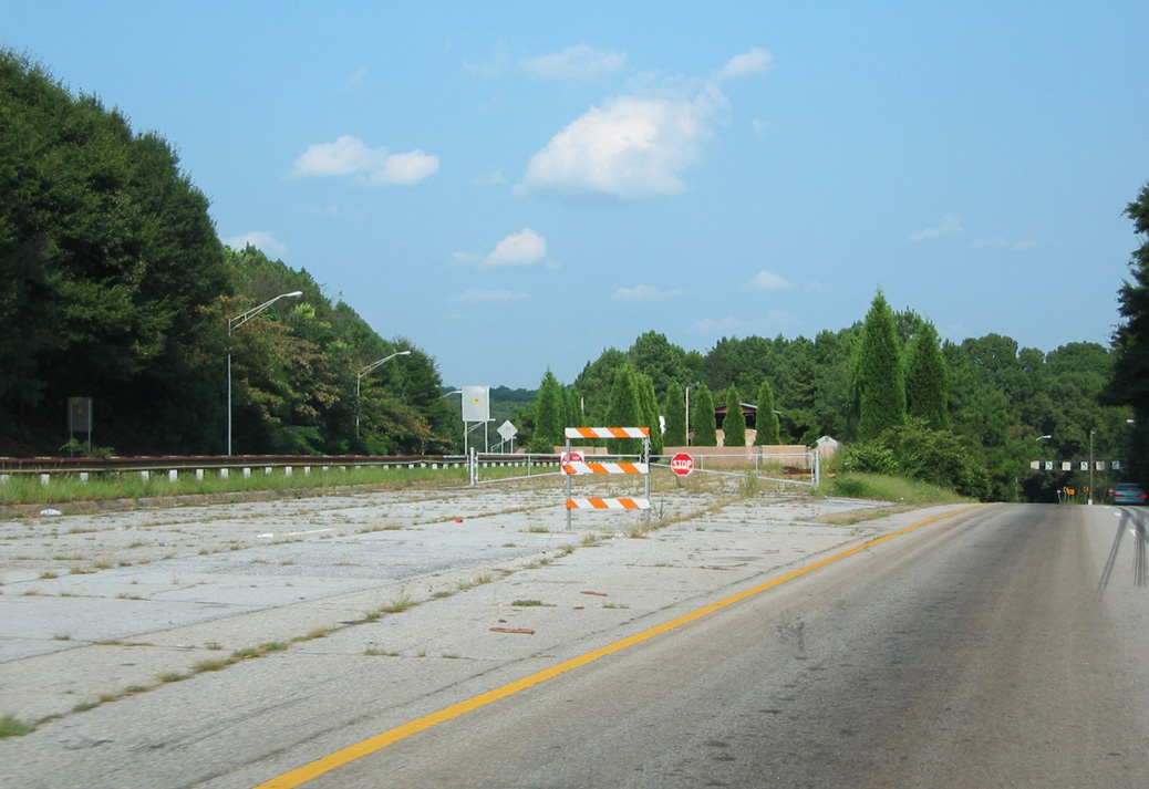
West
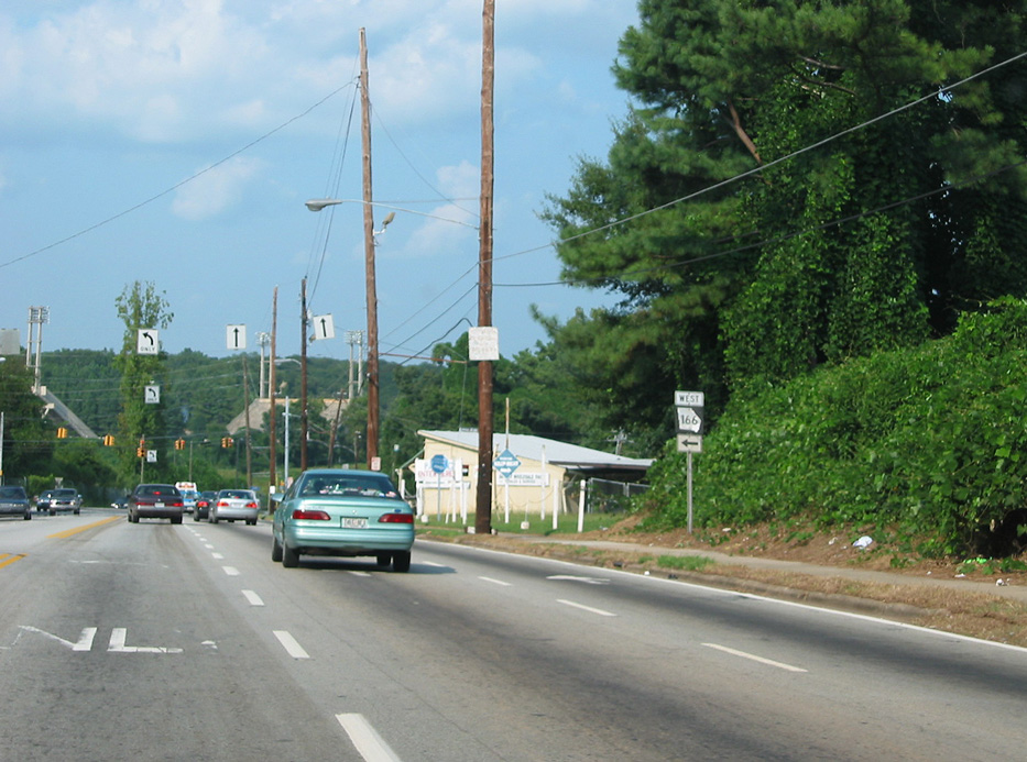
Lakewood Avenue eastbound at the entrance ramp for SR 166 (Langford Parkway). 08/22/03
West End 

North at
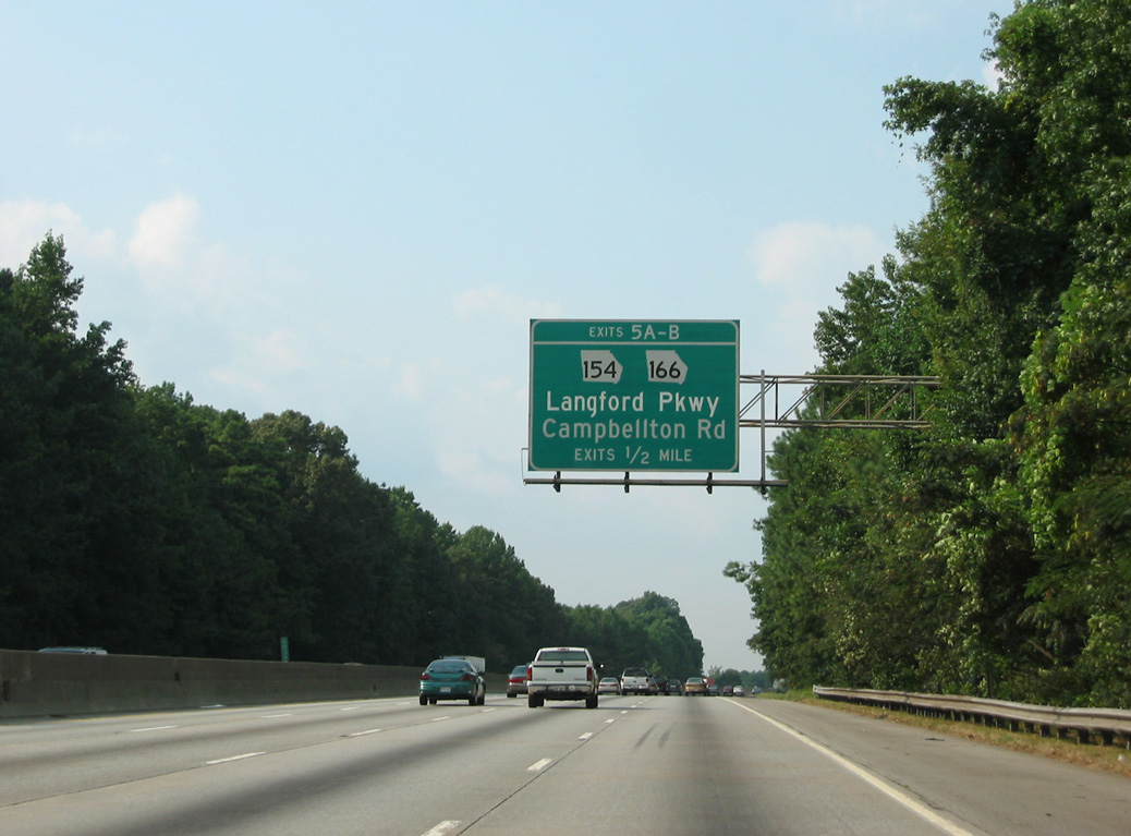
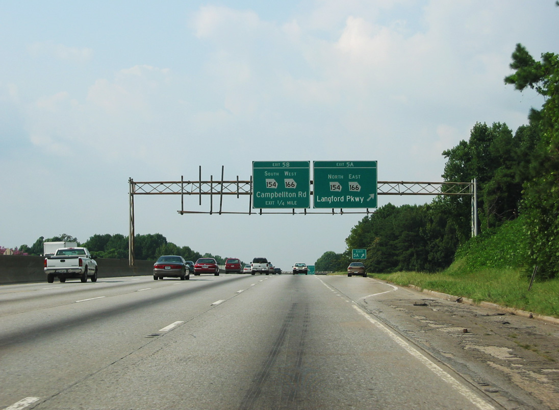
One half mile south of the cloverleaf interchange where Interstate 420 would have connected with the Perimeter Highway. Overlapping with SR 166 east to U.S. 29 (Lee Highway) at Fort McPherson, SR 154 was realigned onto Langford Parkway in the mid 1990s. 08/22/03
North at
One half mile south of the cloverleaf interchange where Interstate 420 would have connected with the Perimeter Highway. Overlapping with SR 166 east to U.S. 29 (Lee Highway) at Fort McPherson, SR 154 was realigned onto Langford Parkway in the mid 1990s. 08/22/03