
Interstate 410 Texas
Overview
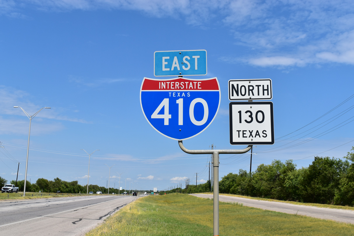
Interstate 410 (Connally Loop) is a beltway encircling San Antonio. The northern half of the Connally Loop, from U.S. 90 and Lackland Air Force Base to IH 35 at Windcrest and IH 10 near Kirby is a heavily developed freeway. Suburban development extends outward from San Antonio toward the northwest and northeast along the IH 10, IH 35 and U.S. 281 freeways. IH 410 between Southwest San Antonio and U.S. 87 at the Lakeside neighborhood remains a rural freeway with four lanes.
The northeastern quadrant of IH 410 overlaps with IH 35 between Kirby and Windcrest. The Interstate Route Log and Finder List however does not attribute the overlapped mileage with IH 35 to IH 410. SH 16 accompanies the western third of the beltway, from south San Antonio to Leon Valley. The state highway travels north from Zapata on the Rio Grande to U.S. 281 near Antelope, just south of Wichita Falls. The zero milepost for IH 410 is the southwestern exchange with IH 35. Interchanges are numbered in a clockwise direction from that point.
Upgrades along the west side of San Antonio along IH 410 include the construction of a fully directional interchange at U.S. 90 (Cleto Rodriguez Freeway) and expansion of the exchange with SH 151 (Stotzer Freeway). Work widened IH 410 to an eight lane freeway and relocated ramps along the mainline between Culbebra Road and SH 151 to improve flow and reduce weaving traffic. Initial construction through February 2020 extended north from U.S. 90 to SH 151 at a cost of $38.98 million.
The first of two flyovers joining SH 151 with IH 410 opened to traffic on September 15, 2021. The flyover linking IH 410 north with SH 151 west opened on October 9, 2021.10 Underway through Summer 2022, this phase of the I-410 Southwest project cost an estimated $100 million.11
?? GOOD NEWS! ?? Earlier today, crews opened the new flyover ramp connecting EB SH 151 to SB Loop 410. This improvement is part of a $100 million investment to increase mobility for the over 200,000 drivers that travel on the corridor each day. pic.twitter.com/EwviTisOaT
— TxDOT San Antonio (@TxDOTSanAntonio) September 15, 2021
Long term road work expands IH 410 and reconfigures the ramp system south from U.S. 90 to IH 35 at an estimated cost of $310 million.
Mileage by State
| Texas | 53.06 mi |
Data Sources
TxDOT Statewide Planning Map. https://www.dot.state.tx.us/apps/statewide_mapping/StatewidePlanningMap.html
History
Loop 410 around San Antonio was constructed through the 1950s and 1960s. The first beltway section opened in 1958.1
Replacing Loop 13, Interstate 410 was approved by the American Association of State Highway Officials (AASHO) on November 10, 1958 as part of the Texas urban Interstate numerology. The map submitted to AASHO from the Texas Highway Department showed IH 410 as an incomplete loop, with the section from IH 10 to the northwest and IH 35/Loop 13 to the east omitted. This section was eventually added to the Interstate system by AASHO on June 30, 1970.
The two level interchange with left side ramps joining IH 10 and IH 410 on the North Side of San Antonio was rebuilt over an eight year period. The two phase, $134 million project project commenced in September 1999. The $50 million initial phase was slated for a mid 2003 completion, and the overall project by 2006.2
Joining IH 10 east with IH 410, two of the eight ramps built at the upgraded exchange were scheduled to open on May 25, 2002, but an oil fire at the construction site pushed back the opening to June 7.3,4 The next ramp debuting to motorists was the 3,500 long flyover joining IH 410 east with IH 10 west. Anticipated to be ready for motorists in August 2002,5 the longest freeway ramp in San Antonio finally did on November 13, 2002.6
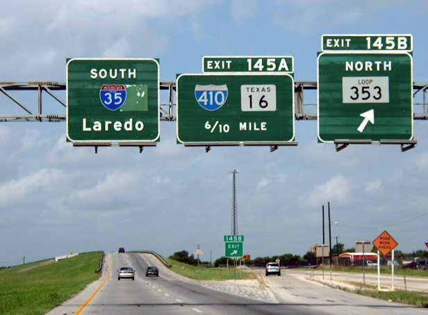
The second half of the IH 10/410 interchange project was anticipated to start by September 2002 and cost $82 million.4 Two additional ramps eventually opened from Loop 410 to IH 10 east on December 17, 2005. Completion of the ramps from IH 10 west to IH 410 however fell behind schedule at that point, with overall construction on the project expected pushed back until 2008.7 The last two flyovers were finally ready for traffic on the morning of November 8, 2007.8
Construction modernized IH 410 between IH 10 at Balcones Heights and U.S. 281 (McAllister Freeway) at Shearer Hills - Ridgeview in north San Antonio. Work widened the narrow, below grade freeway and added a systems interchange with U.S. 281 (McAllister Freeway) at San Antonio International Airport (SAT). Costing $155 million,9 the exchange directly linked the two freeways, which previously utilized San Pedro Avenue to connect with one another.
The lack of a direct interchange was the result of a 14 year delay in construction of the McAllister Freeway, which opened southward to IH 35 and IH 37 at Downtown San Antonio in 1978. Following two referendums and multiple lawsuits, a new federal law allowed construction to proceed along U.S. 281 through Olmos Park Basin and Brackenbridge Park. However development ensued along IH 410 at the cross roads with U.S. 281 during that time period, driving up right of way costs.9
Initial projections for work on the IH 410/U.S. 281 interchange forecast a ten year construction period. An accelerated time table was achieved with a change in state law regarding bonds, and crews got underway at the exchange in 2005. The first of eight ramps connecting the two freeways opened in June 2007. The last two were completed on June 9, 2008. Succeeding construction expanded IH 410 from six to ten lanes between McCullough Avenue and Broadway by July 2008 and overall from Austin Highway to Culbera Road by 2010.9
East End 
 ‐ San Antonio, TX
 South at
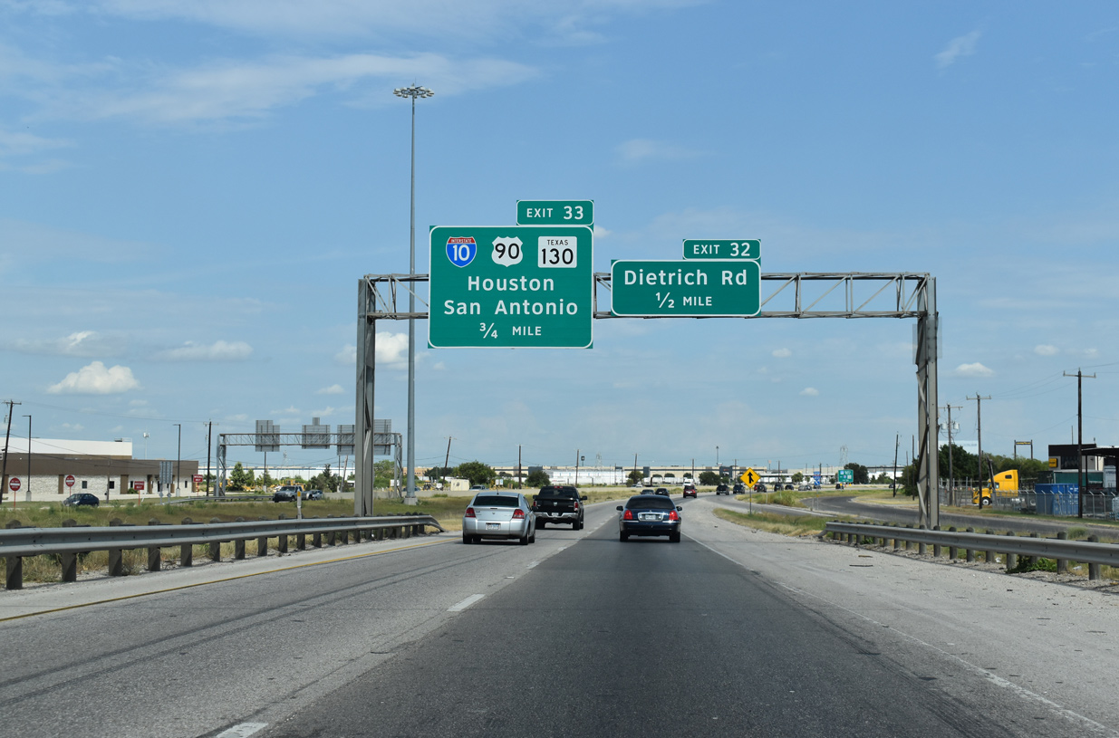
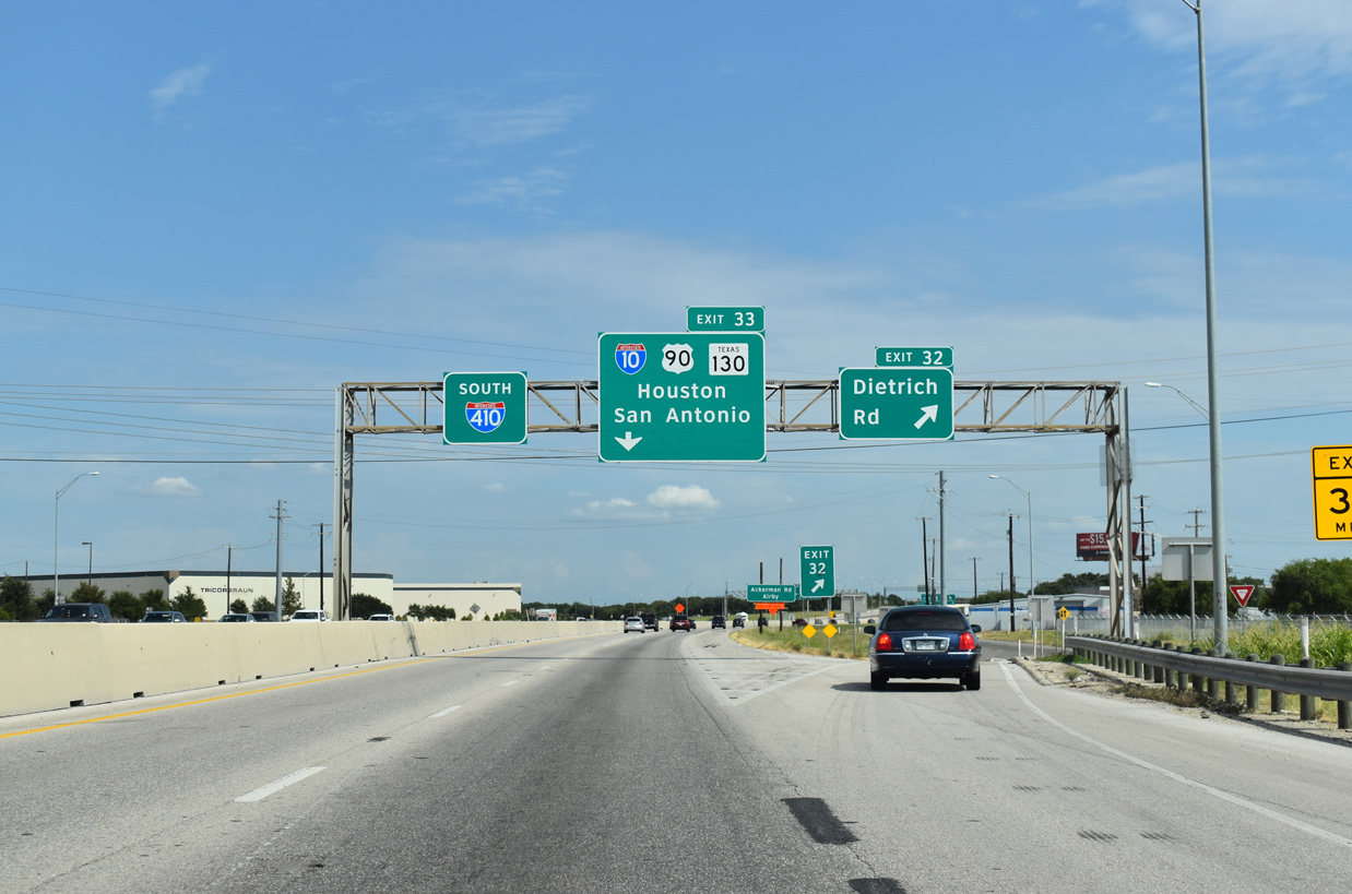
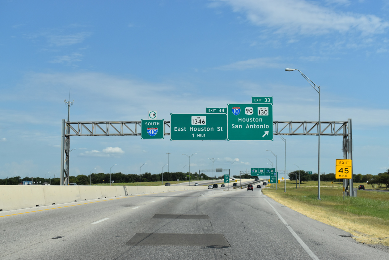
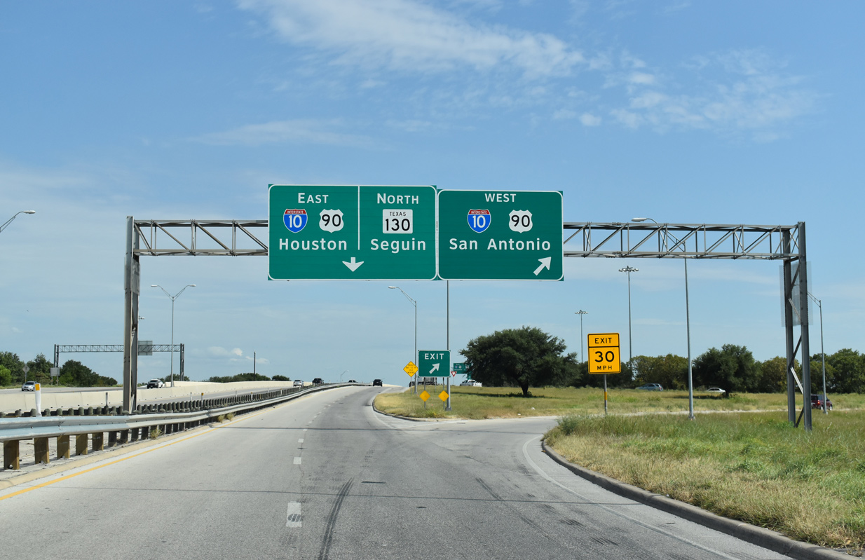
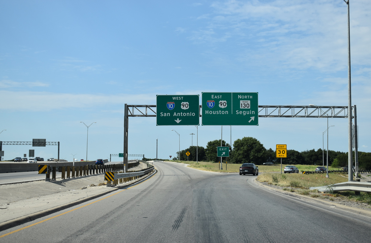
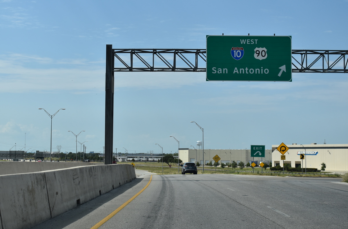
A slip ramp (Exit 32) connects with the IH 410 frontage road for Dietrich Road south of Kirby. Loop 410 advances south to IH 10 east of Downtown San Antonio and SH 130 west of Seguin. 08/04/19
North at
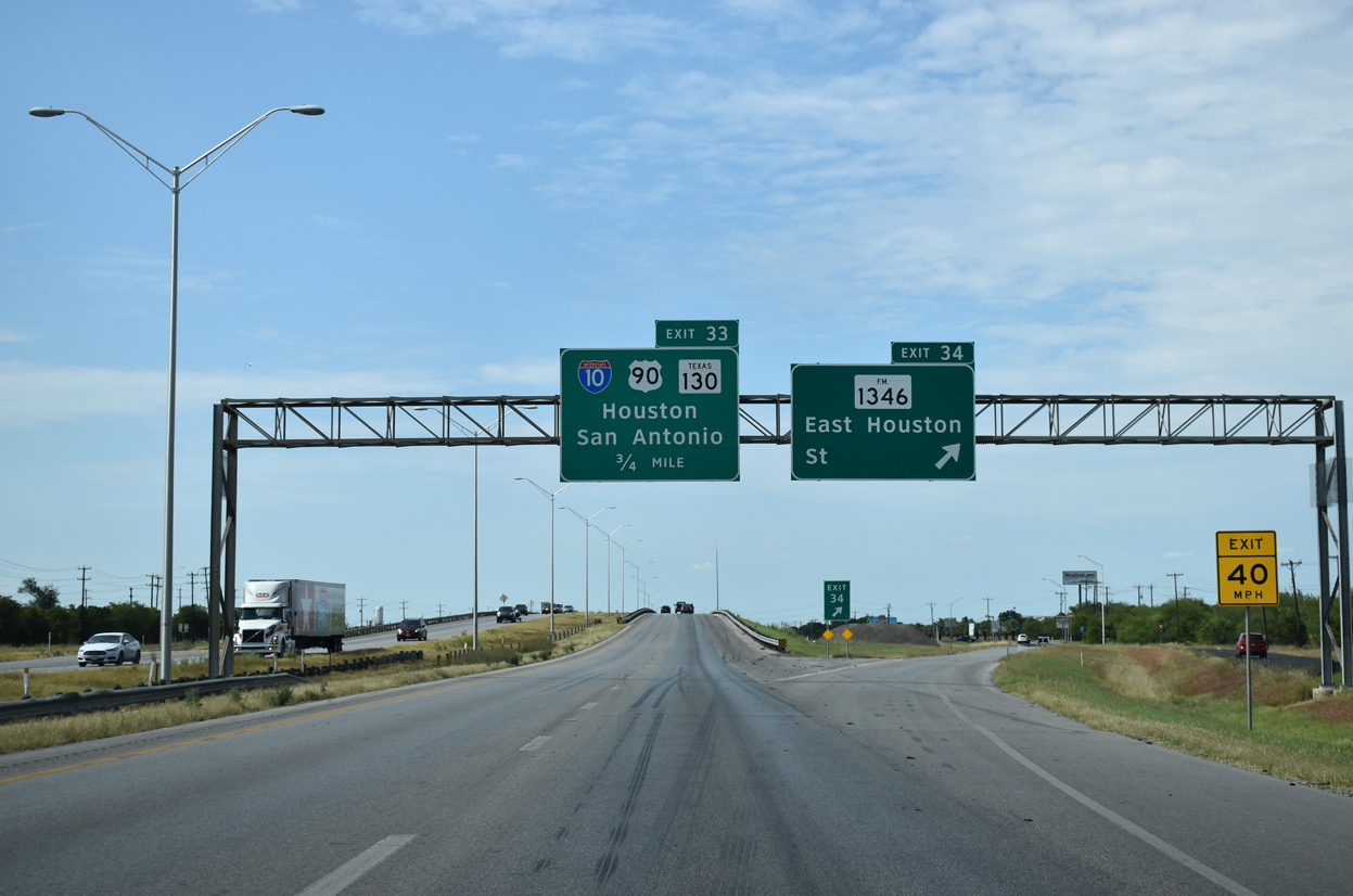
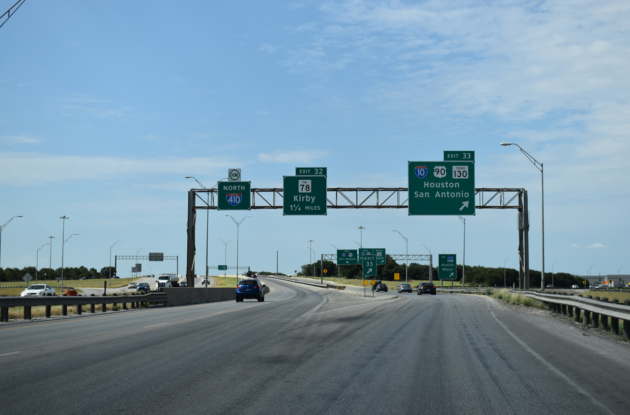
A diamond interchange (Exit 34) with FM 1346 (East Houston Street) precedes IH 10, U.S. 90 and SH 130 on IH 410 northbound. FM 1346 loops 20.23 miles east from SL 13 (W.W. White Road) in San Antonio to Saint Hedwig and La Vernia. 08/04/19
East at
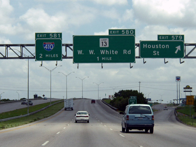
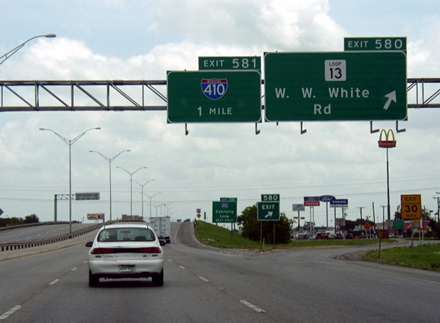
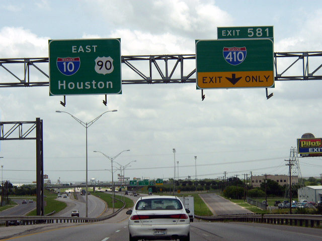
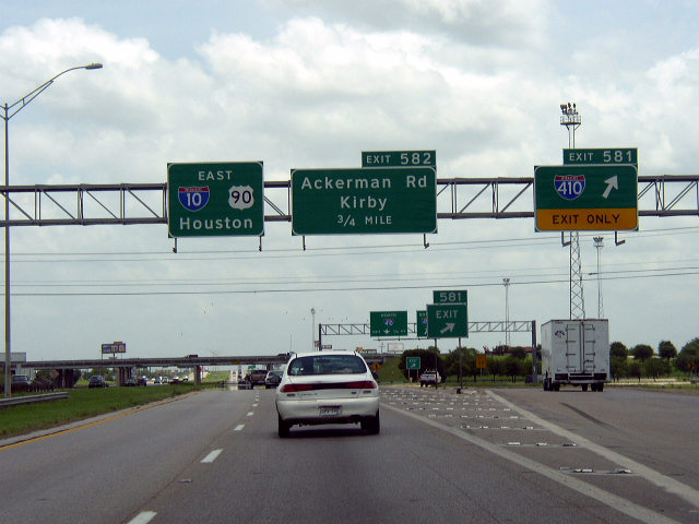
Two miles west of IH 410 on IH 10/U.S. 90 at Exit 579 to Houston Street. Houston Street, along with Commerce Street, represents the old alignment of U.S. 90. Photo by Chris Patriarca (06/24/03).
West South at
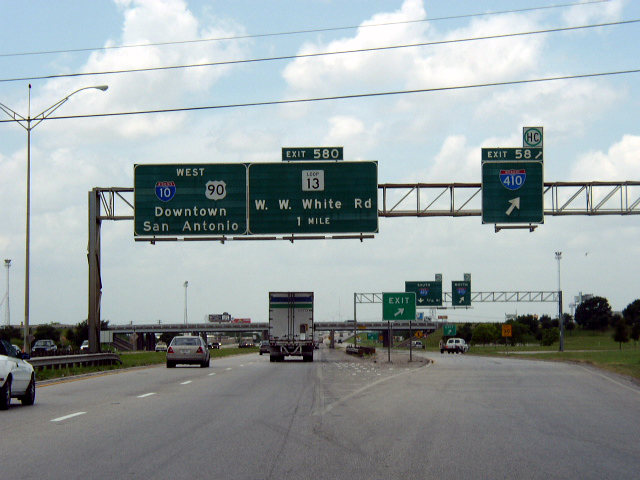
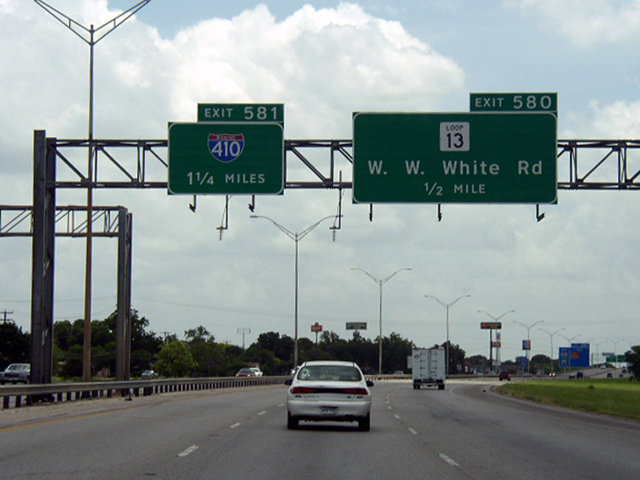
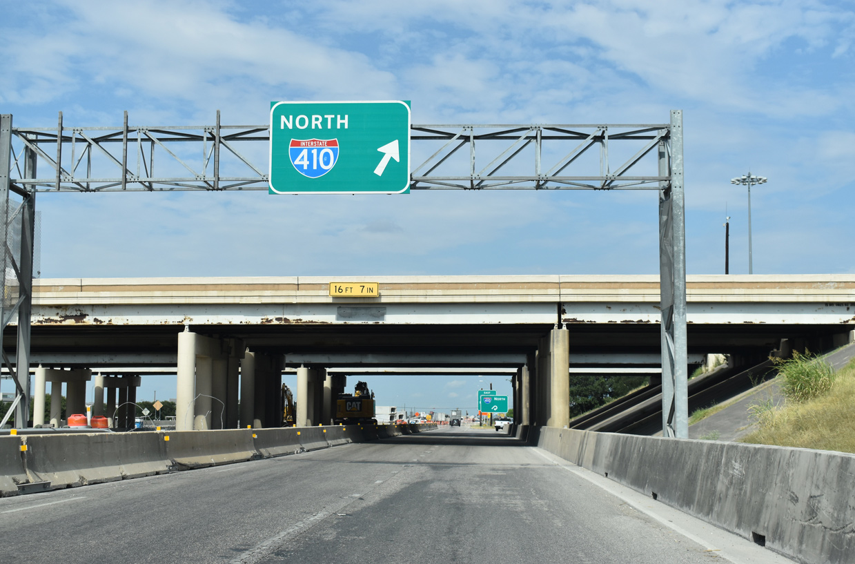
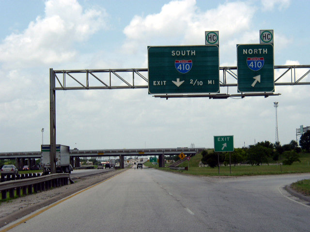
Replaced button copy guide at the separation with the c/d roadway (Exit 581) for IH 410 and SH 130 south. Photo by Chris Patriarca (06/24/03).
West End  ‐ San Antonio, TX
East at
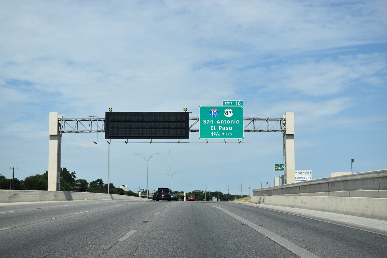
IH 410 winds east from the city of Leon Valley toward IH 10/U.S. 87 by the Hillcrest neighborhood of San Antonio. 08/04/19
West North at
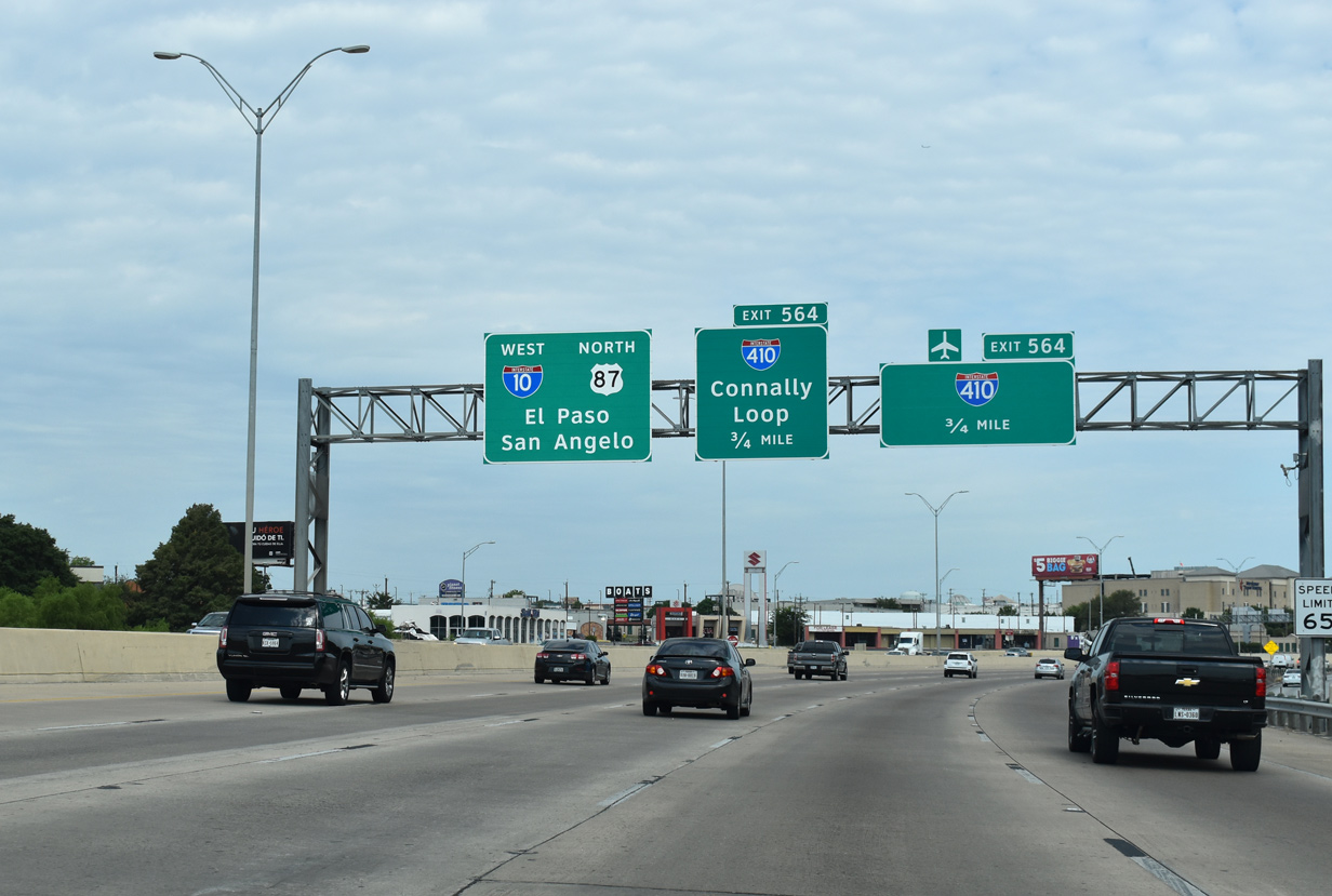
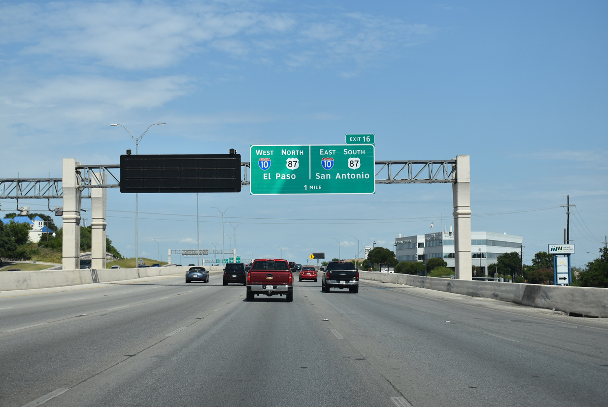
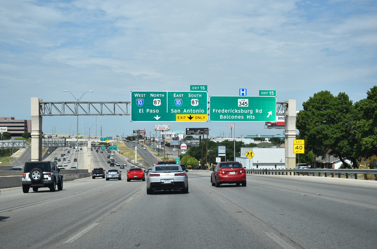
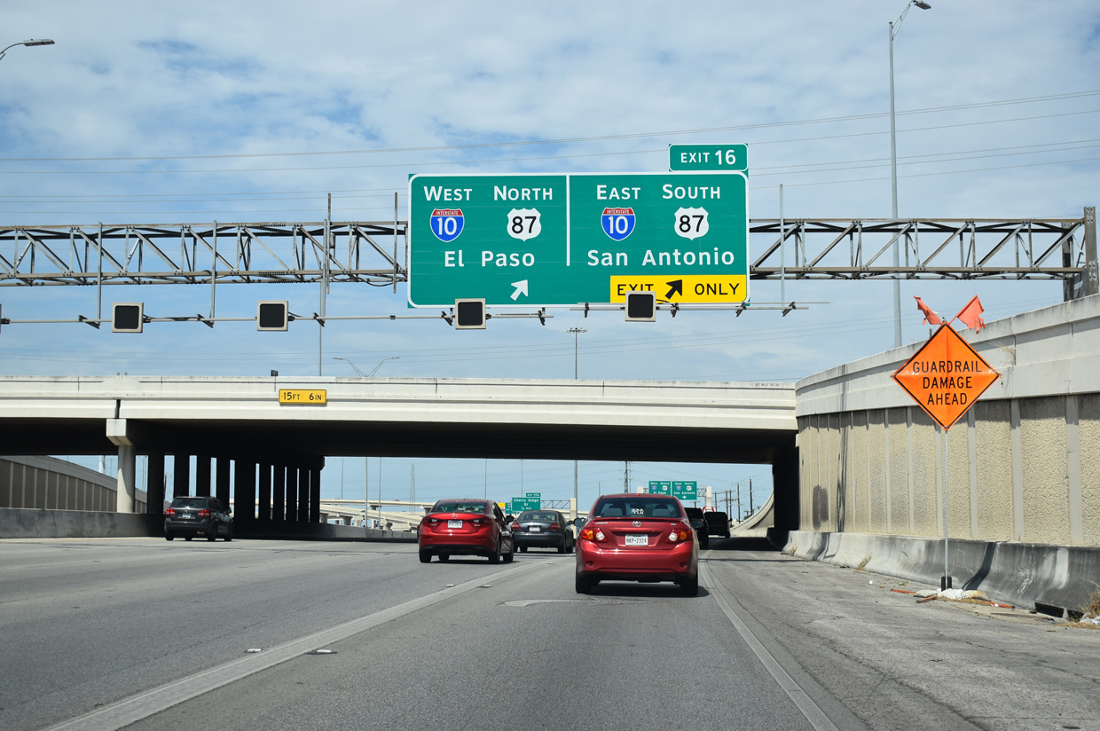
IH 10 enters the city of Balcones Heights beyond Exit 565 A for Crossroads Boulevard south of IH 410. 08/03/19
West at
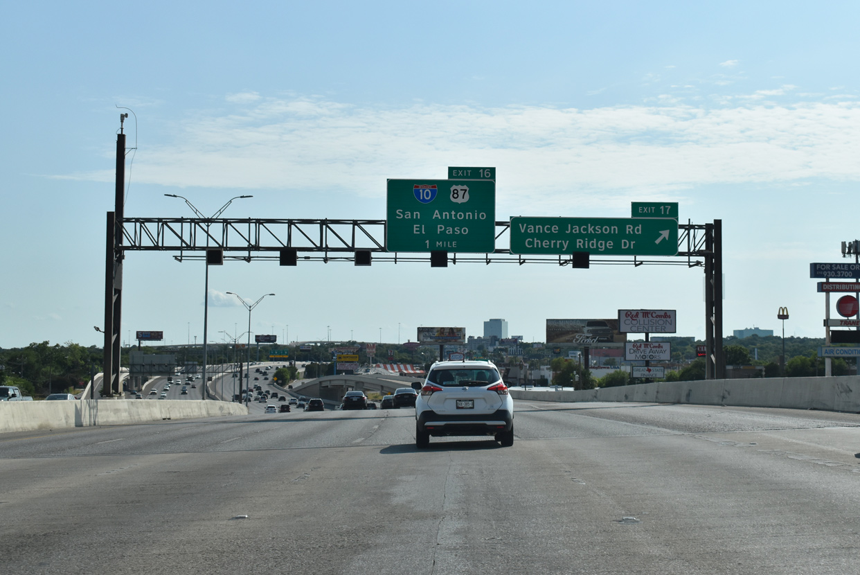
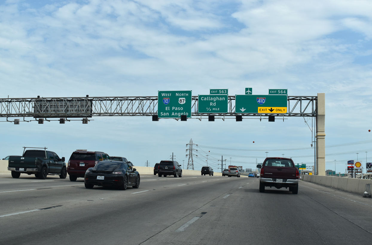
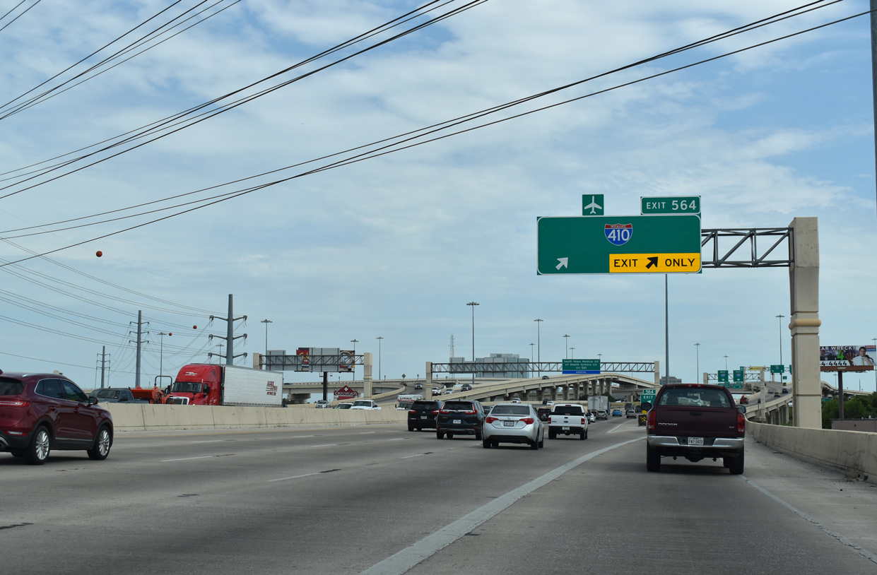
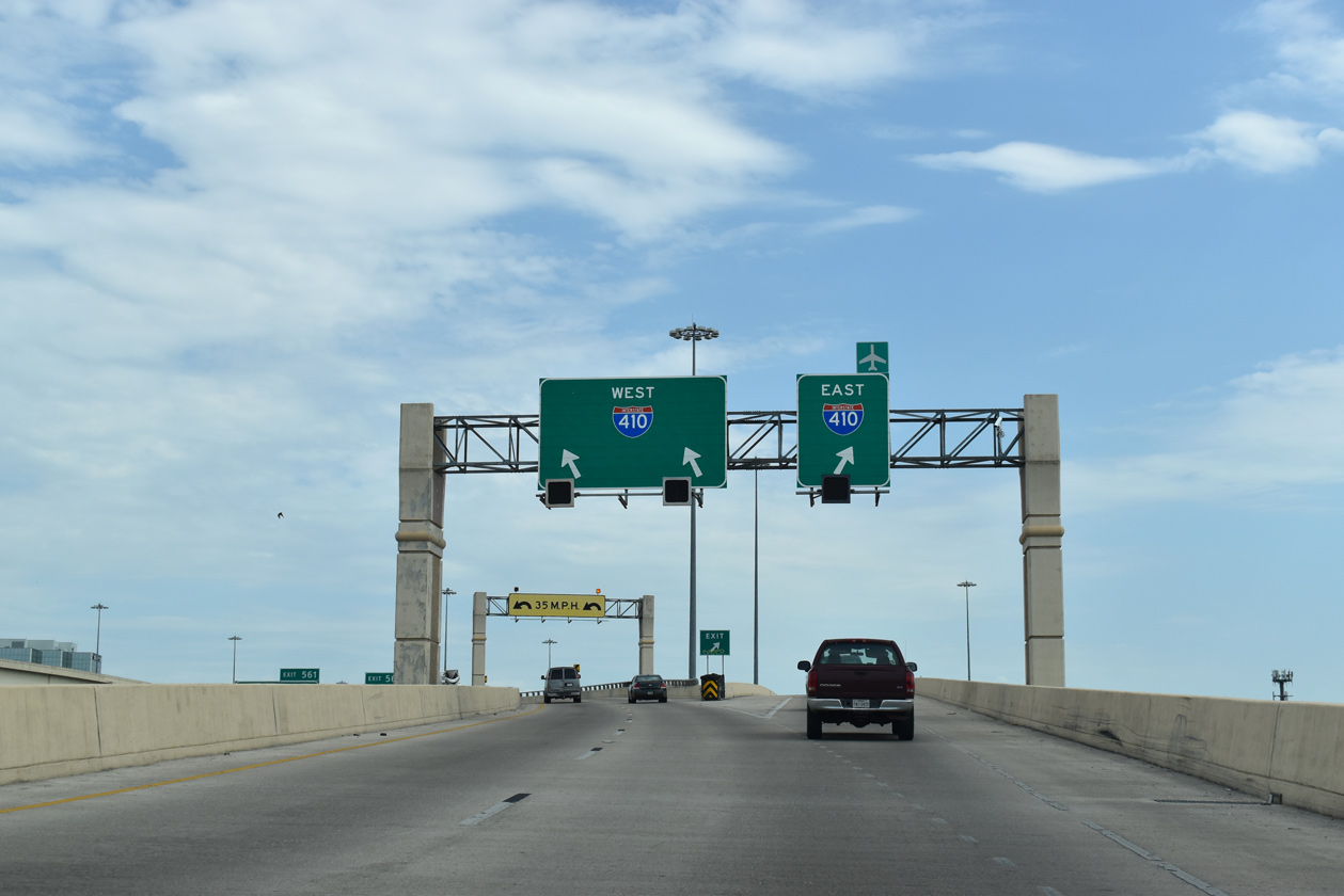
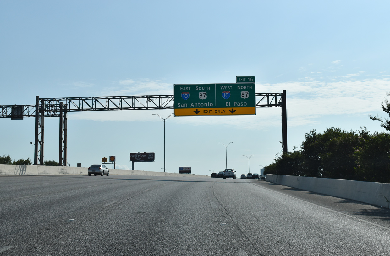
The heaviest traveled section of IH 410 is the arc west from San Antonio International Airport (SAT) and the city of Castle Hills to IH 10/U.S. 87 at Exit 16. 08/04/19
East South at
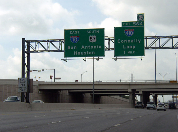
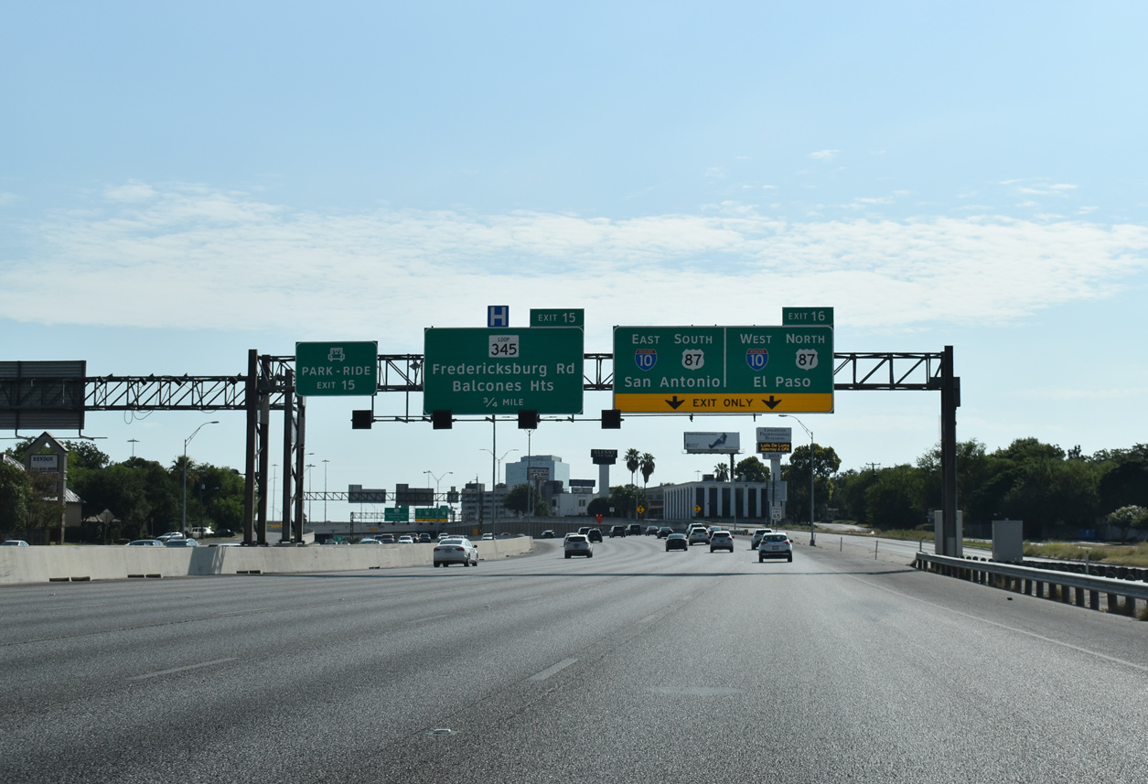
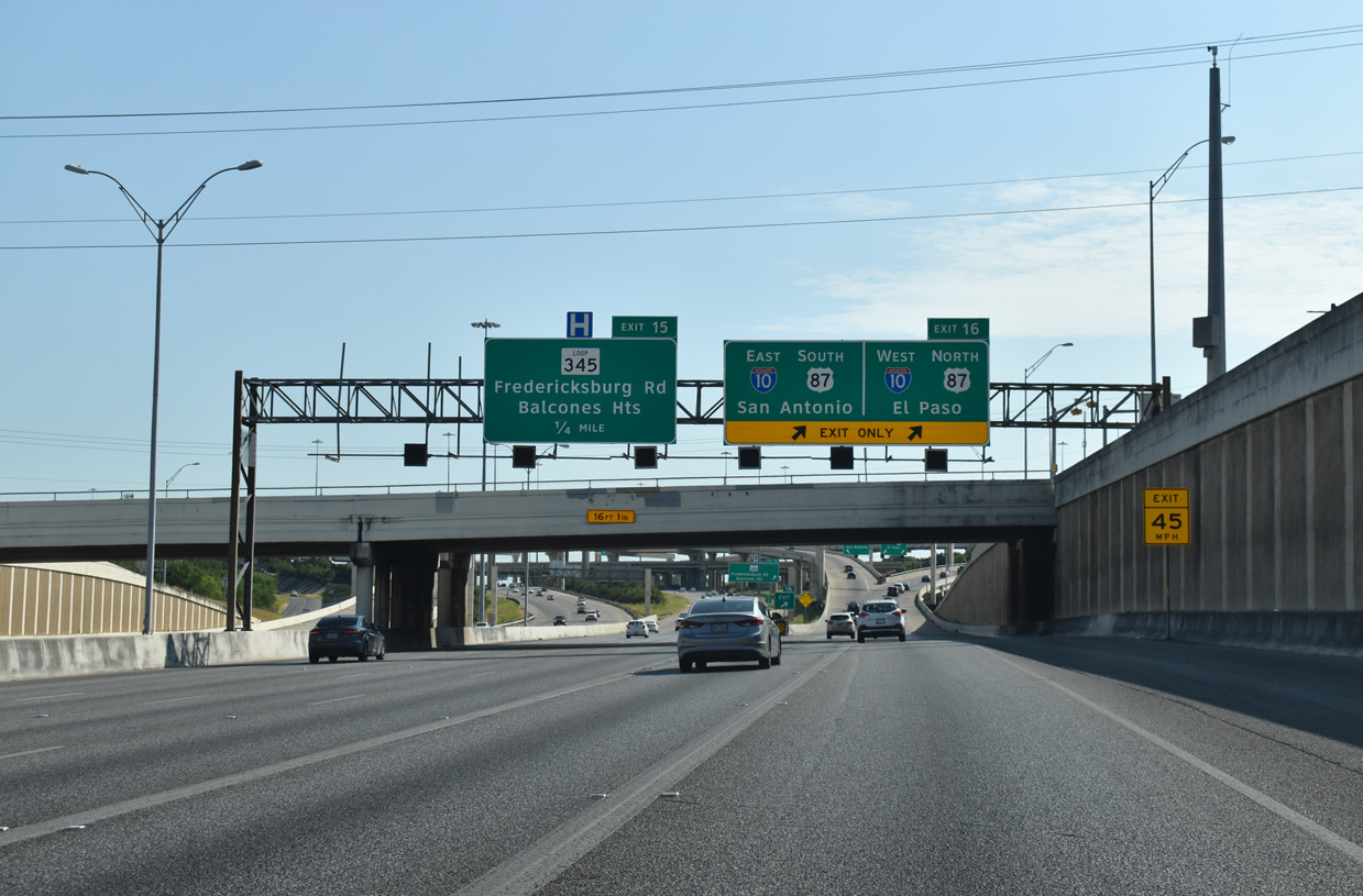
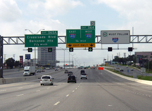
One mile north of the four level interchange (Exit 564) with IH 410 on IH 10 east / U.S. 87 south at the Medical Drive over crossing. Photo by Chris Patriarca (06/24/03).
West End – Past Views
Past Views Gallery (Tap to Expand / Collapse Section)
at
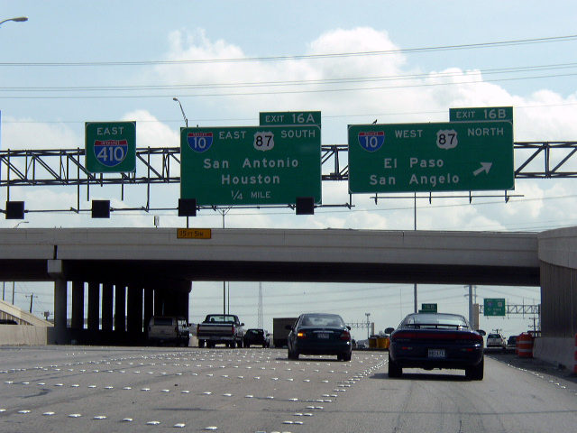
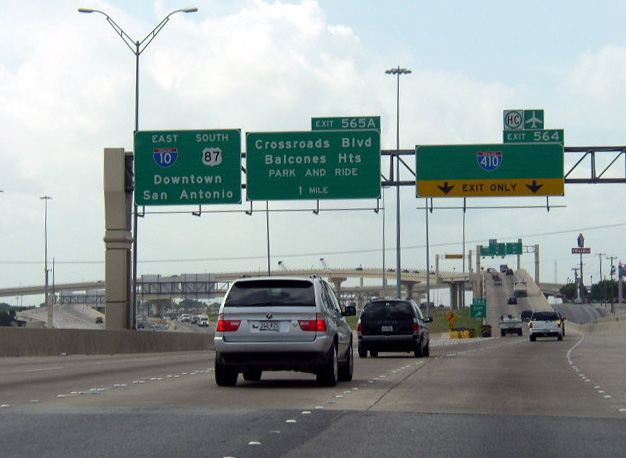
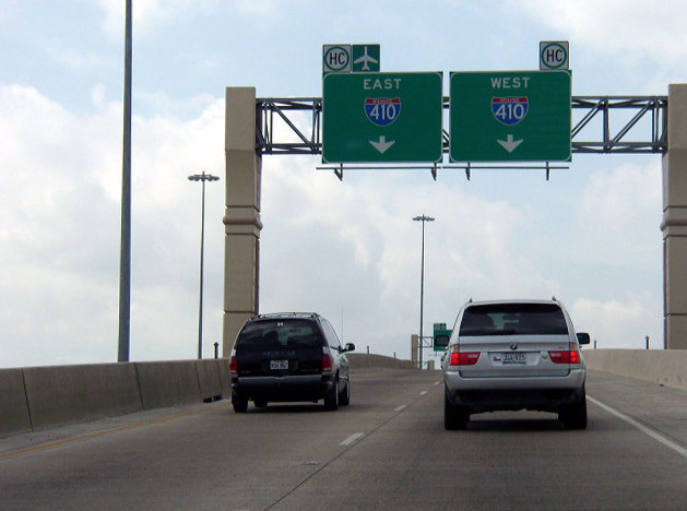
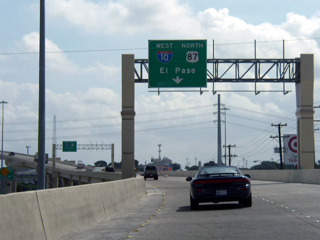
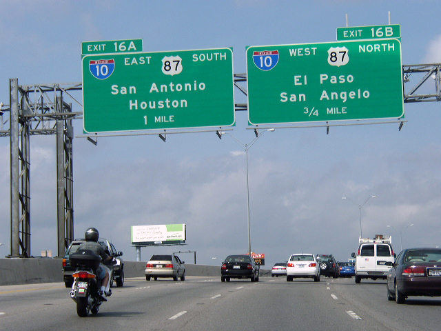
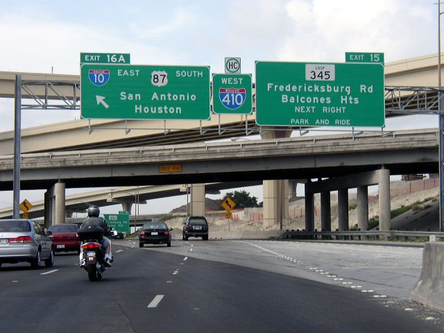
Previous guide signs for IH 10 along IH 410 included San Angelo for westbound and Houston for eastbound. Photo by Chris Patriarca (06/24/03).
References
- Texas Transportation Institute, page 34. From Anywhere to Everywhere: The Development of the Interstate Highway System in Texas. Retrieved from http://tti.tamu.edu/interstate_anniversary/white_paper/
- "Highways hooked up." San Antonio Express-News (TX), June 10, 2008.
- "Work to begin on 410 ramp." San Antonio Express-News (TX), January 4, 2000.
- "Loop 410 gets new shutdown - Motorists advised relief from congestion is near." San Antonio Express-News (TX), May 18, 2002.
- "Loop's new ramps debut - Interstate 10 link opens for drivers." San Antonio Express-News (TX), June 8, 2002.
- "Ramp openings delayed by fire." San Antonio Express-News (TX), May 24, 2002.
- "New ramp pitches a curve - Motorists head for old I-10 exit." San Antonio Express-News (TX), November 14, 2002.
- "2 ramps set to open at I-10, Loop 410." San Antonio Express-News (TX), December 17, 2005.
- "News Roundup." San Antonio Express-News (TX), November 8, 2007.
- The Texas Highway Man. The San Antonio Area Freeway System - PROJECT INFO: Loop 410 from Ingram to US 90. Retrieved from https://www.texashighwayman.com/prj_410151.shtml
- New flyover ramp at Highway 151, Loop 410 opens to traffic. (2021, September 15). KSAT. Retrieved from https://www.ksat.com/news/local/2021/09/15/new-flyover-ramp-at-highway-151-loop-410-opens-to-traffic/