
Interstate 289 Vermont
Overview
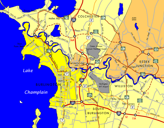
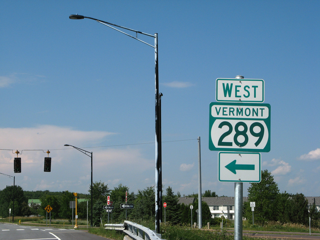
Vermont State Route 289 navigates through pronounced rock cuts along a 2.3 mile course around the village of Essex Junction. The two lane freeway with climbing lanes has interchanges with VT 2A (Colchester Road), VT 15 (Center Road) and VT 117 (River Road). Provisions were built at both ends for the extensions west to Colchester and south to Williston. Kilometer based exit numbers are derived from the original planned build out of the Chittenden County Circumferential Highway:
- Exit 1 - VT 127 (Heinburg Drive)
- Exit 3 - Interstate 89
- Exit 5 - U.S. 2/7 (Theodore Roosevelt Highway)
- Exit 7 - VT 2A
- Exit 9 - VT 15
- Exit 11 - Allen Martin Parkway
- Exit 12 - VT 117
- Exit 13 - Redmond Road
- Exit 15 - Interstate 89
Mileage by State
| Vermont | 2.30 mi |
Data Sources
2015 (Route Log) AADTs State Highways – Vermont Agency of Transportation Highway Division
History
The Chittenden County Circumferential Highway (CCCH) was a 15.8 mile long controlled access bypass of Interstate 89 planned around the Burlington metropolitan area. Congress devoted $50 million to the project through a Federal Highway Administration (FHWA) Demonstration Grant as part of the 1982 Surface Transportation Act. The state of Vermont overtook the highway in 1986 following completion of the Environmental Impact Statement (EIS) and Record of Decision (ROD).1,2
Origins of the bypass go as far back as 1967 with local municipalities adding provisions in their comprehensive plans. The Chittenden County Regional Planning Commission (CCRPC) formally included the circumferential highway within their regional plan in 1975.1,2
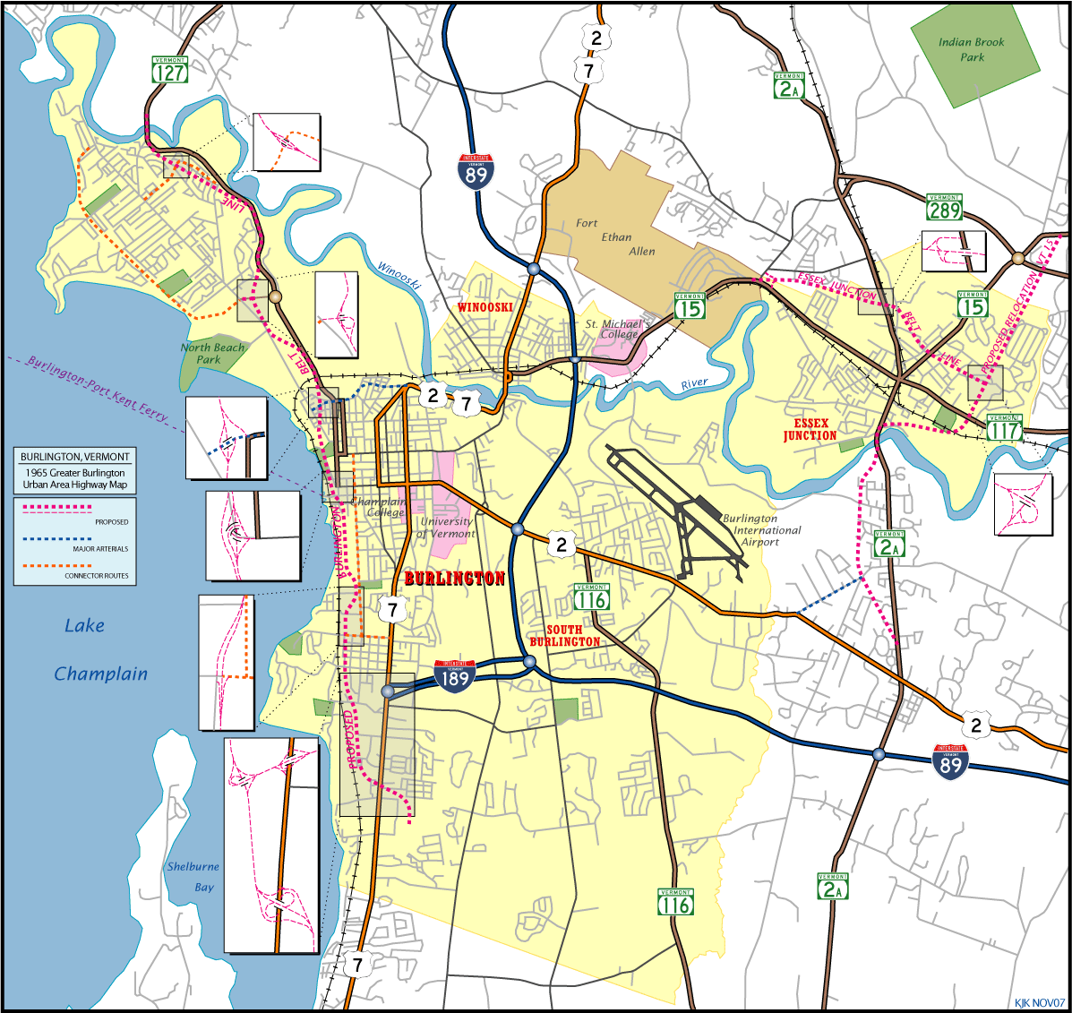
Benefits cited for the CCCH included the redistribution of traffic on radial routes serving northern and eastern areas of the Burlington area. The highway was divided into ten segments, labeled Segments A through J. Design and land acquisition was completed by the end of 1986 for the entire alignment and construction advanced on Segments C through F at Essex Junction to completion in October 1993.1,2
Remaining sections of the Chittenden County Circumferential Highway (Segments A/B in Williston and Segments G through J at Colchester) in the 1986 EIS were contested in 2003. Litigation on the original EIS determined that new EIS were necessary on all remaining unbuilt segments. Preparations began on an EIS for the section in Williston on November 26, 2004, with a completion date anticipated for Spring 2006.1,2 Legal and environmental permitting issues however prevented construction on the remaining sections. Furthermore, Governor Peter Shumlin (D) announced that the highway as originally planned would not be built in 2011.3
Vtrans and the CCRPC embarked on a number of projects meant to reduce traffic congestion and traffic demand in the CCCH corridor. Known as the Circ Alternatives and started in 2011, the program included additional transit services, intelligent transportation system (ITS) improvements, modifications to intersections along VT 2A, VT 15, VT 117 and VT 127 and upgrades at interchanges along Interstate 89.3
East End  ‐ Essex, VT
 East at
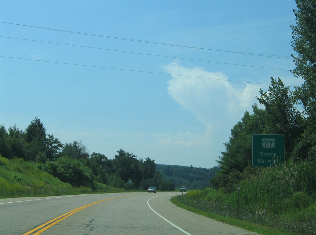
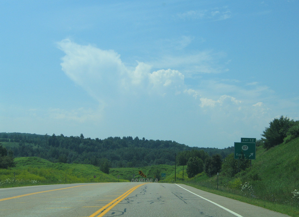
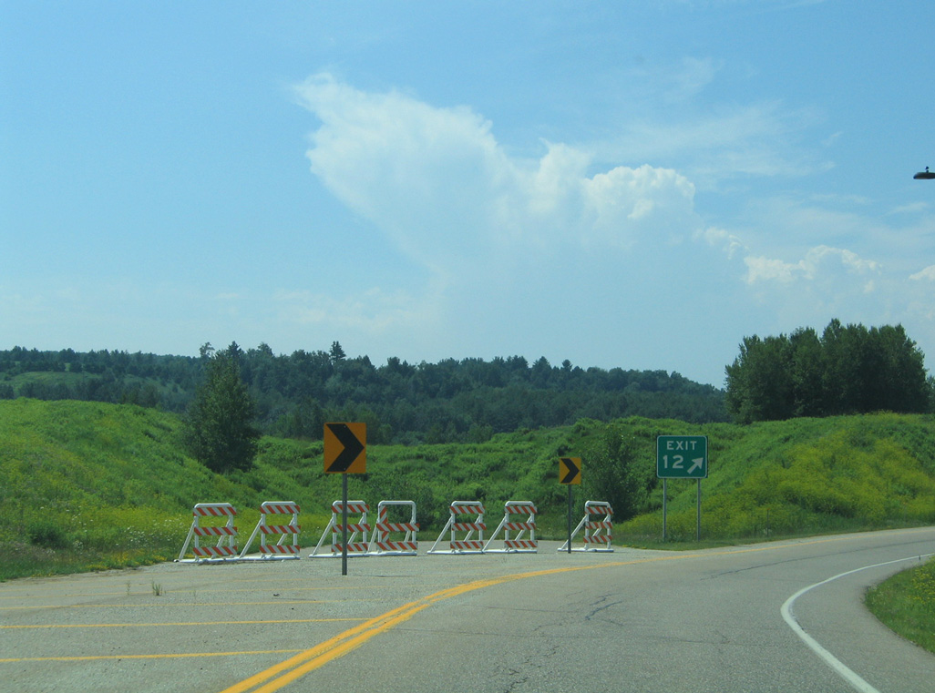
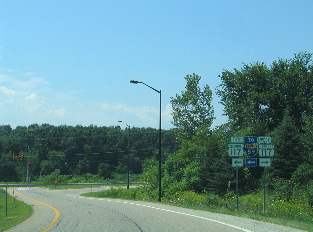
VT 289 curves southward from the turnaround at the planned interchange (Exit 11) with Allen Martin Parkway to Exit 12 with VT 117. 07/22/05
North at
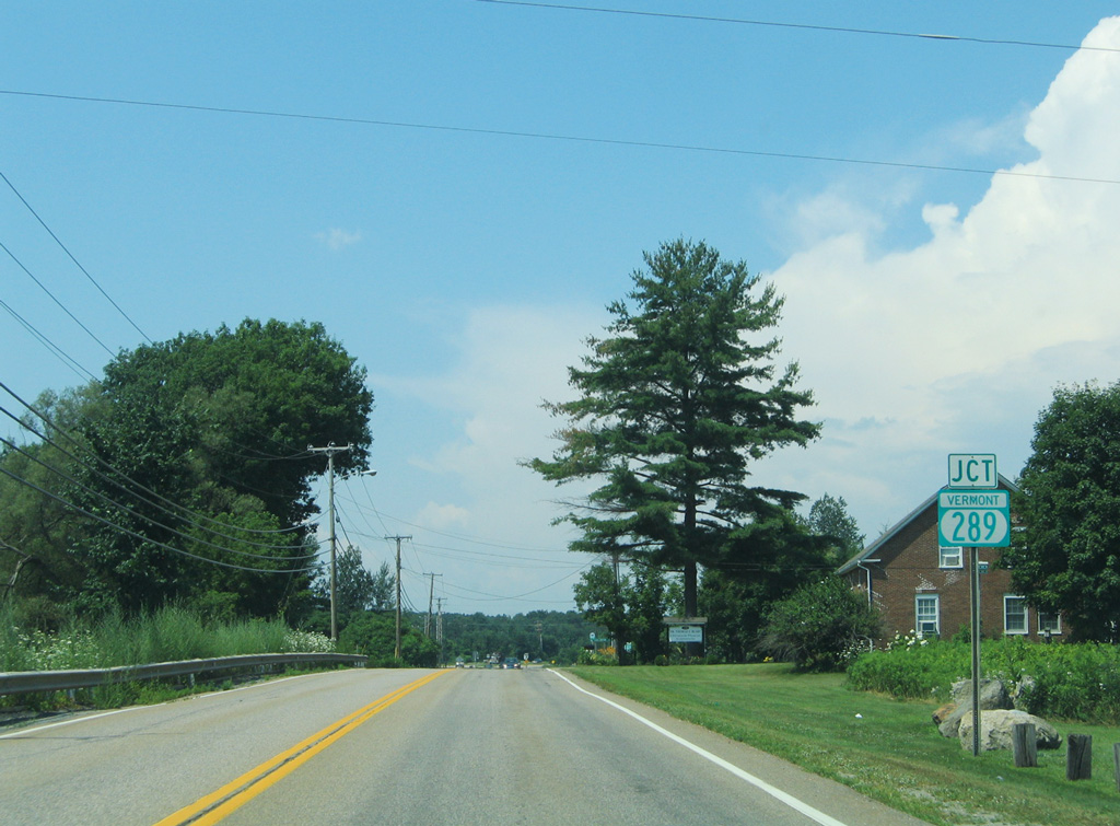
VT 117 (River Road) crosses the Essex town line two miles ahead of the entrance ramp for VT 289 west. 07/22/05
South at
VT 117 (River Road) straddles the north banks of the Winooski River through the partially built diamond interchange with VT 289. 07/22/05
West End  ‐ Suzie Wilson Road – Essex, VT
West at
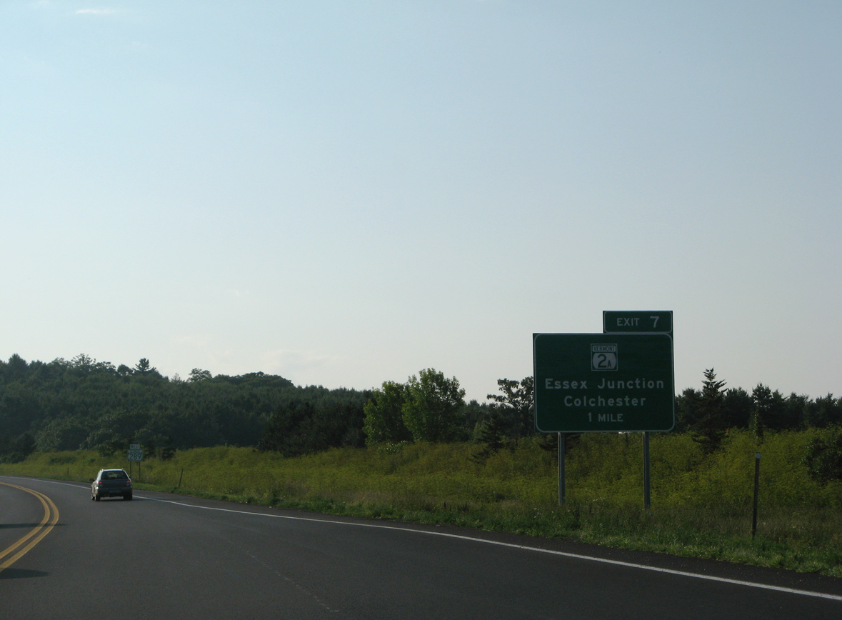
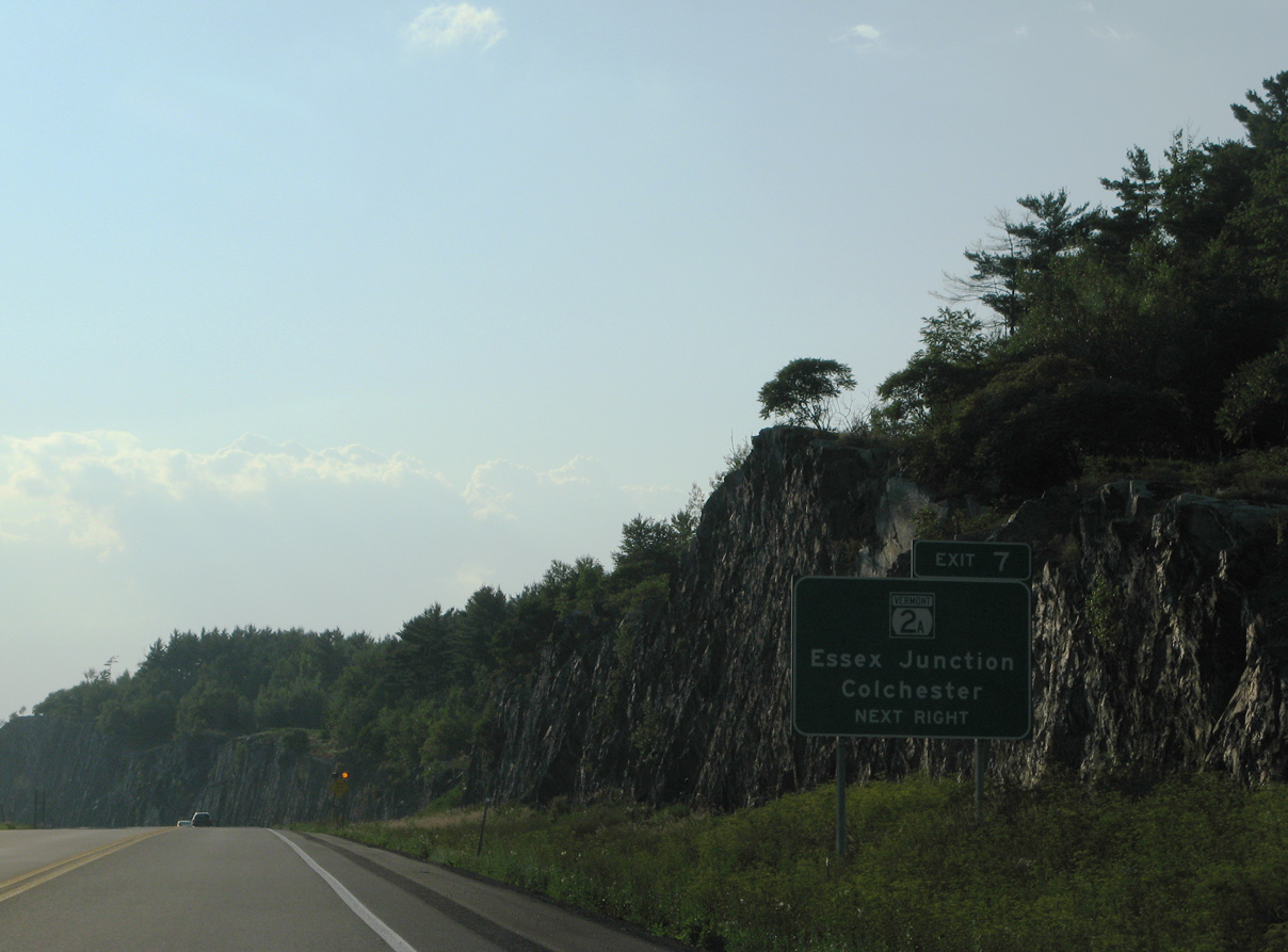
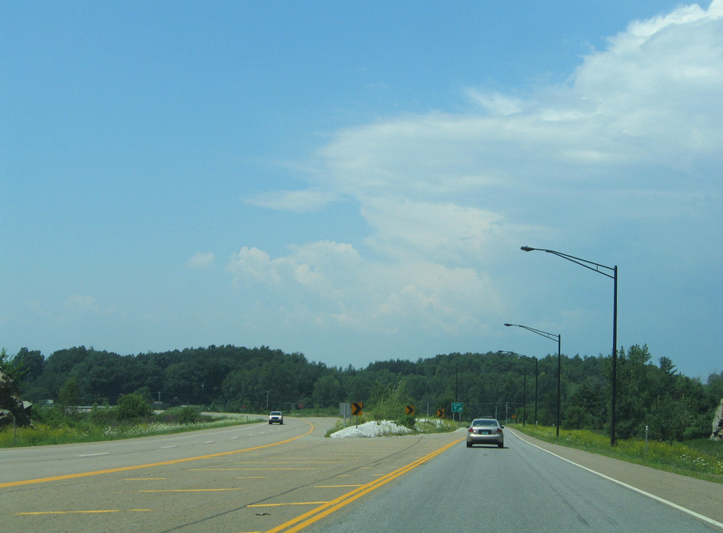
VT 289 arcs west 1.9 miles from the VT 15 overpass at Butlers Corners to VT 2A (Colchester Road) at Exit 7. 07/31/07
Suzie Wilson Road – East at
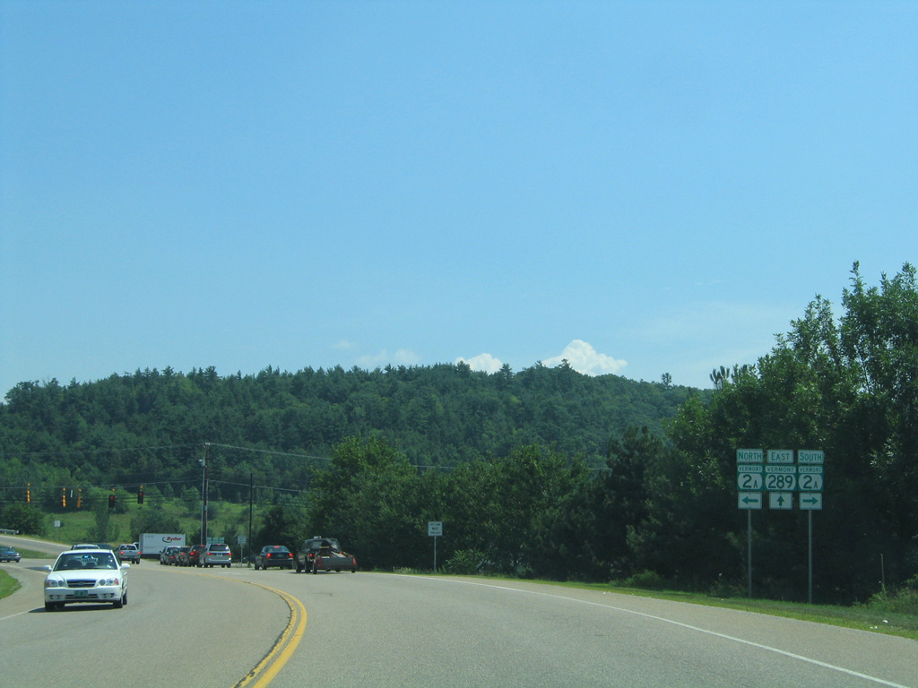
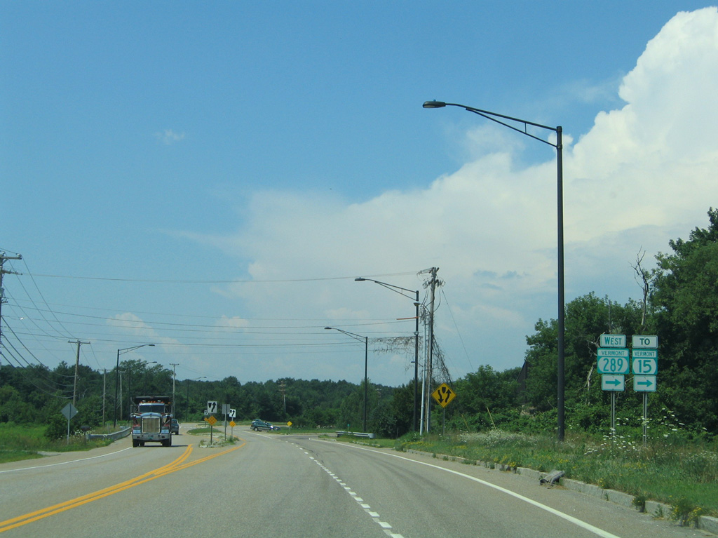
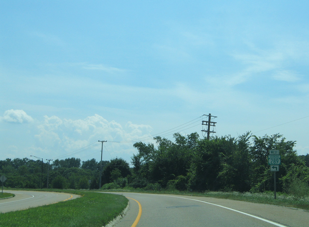
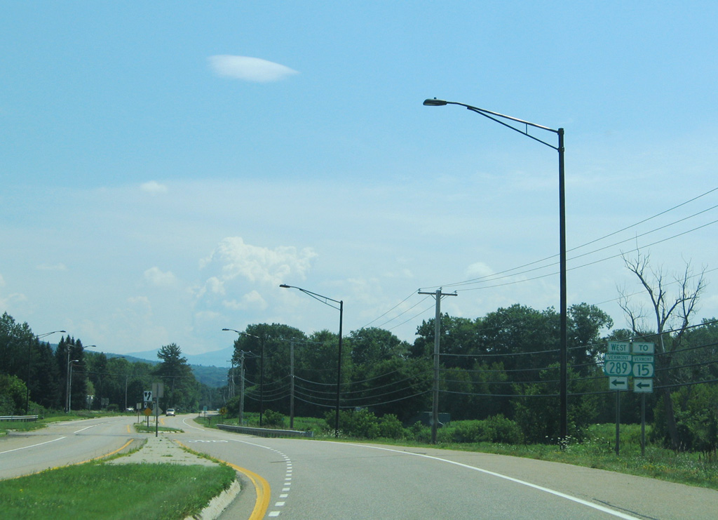
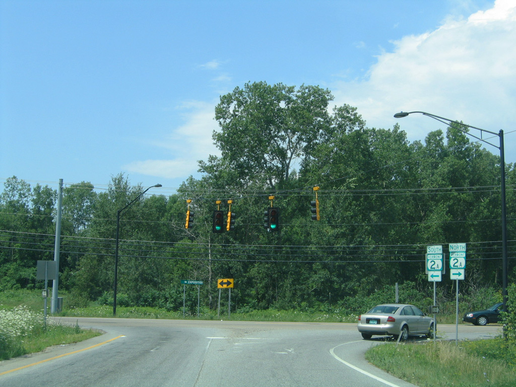
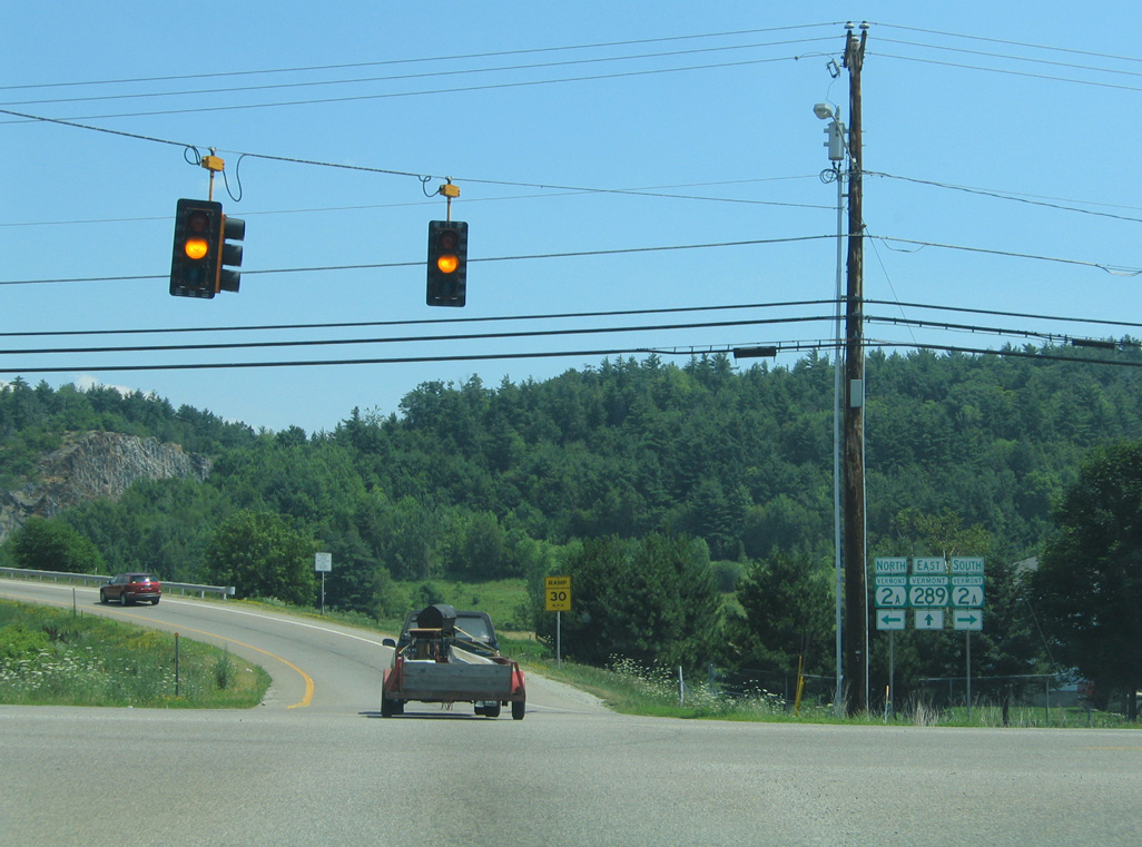
Suzie Wilson Road winds northeast from VT 15 (College Parkway) to VT 2A (Colchester Road) at VT 289. 07/22/05
References
- VTrans Project Page: Chittenden County Circumferential Highway (CCCH). Retrieved from http://www.aot.state.vt.us/EIS/Default.htm
- VTrans/FHWA Williston EIS website. Retrieved from http://www.circeis.org/
- State of Vermont. (2016, September 21). Chittenden County Circumferential Highway (CCCH) Right of Way & Mitigation Site Management Plan. Retrieved from https://vtrans.vermont.gov/sites/aot/files/planning/documents/planning/Chittenden%20County%20Circumferential%20Highway%20Site%20Management%20Plan.pdf