
Interstate 280 New Jersey
Overview
Interstate 280 joins I-80 and the North Jersey suburbs in Morris County with the Oranges, Newark and the New Jersey Turnpike (I-95) in Hudson County. The 17.04-mile long freeway heads southeast from Parsippany-Troy Hills Township across Hatfield Swamp into Essex County at West Essex Park. Continuing through the borough of Roseland, I-280 ascends across Second Watchung Mountain into West Orange Township.
Turning southward, I-280 descends abruptly from First Watchung Mountain into the City of Orange. The freeway lowers below street level and parallels the NJTransit Morristown Line along an urban corridor into East Orange and the city of Newark at Roseville. Passing north of University Heights, I-280 partitions through a wye interchange (Exit 13) with the unbuilt Newark Midtown Freeway (New Jersey Route 75).
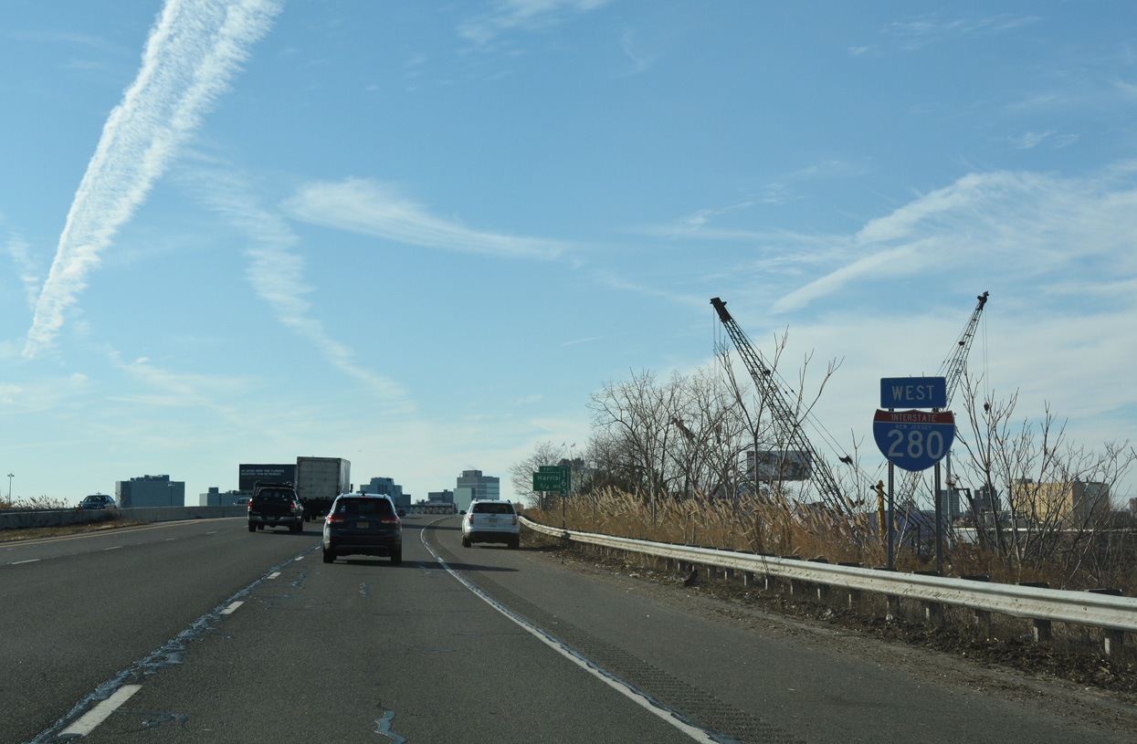
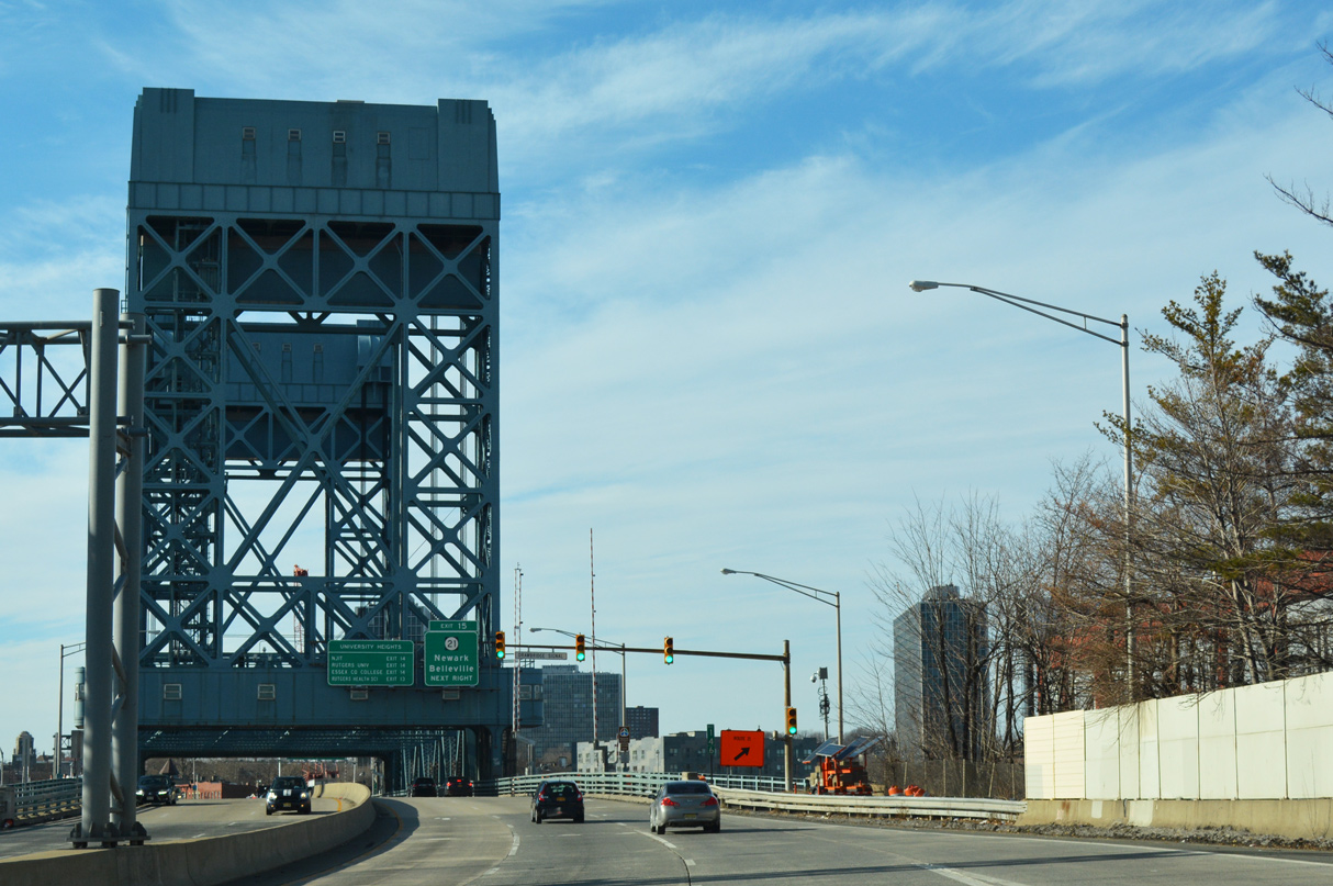
Elevating across southern reaches of Branch Brook Park, Interstate 280 proceeds east by Downtown Newark. The freeway spans the Passaic River across one of the few lift bridges in the Interstate System. The William J. Stickel Memorial Bridge connects Newark with the borough of East Newark and the town of Harrison.
I-280 runs along side the Northeast Corridor Line and Path transit into the town of Kearny. The urban loop concludes at ramps to both the West and East Spurs of the New Jersey Turnpike amid wetland areas along the Hackensack River.
Mileage by State
| New Jersey | 17.85 mi |
Data Sources
December 31, 2021 Interstate Route Log and Finders List
History
Predating the establishment of the Interstate Highway System, the William J. Stickel Memorial Bridge over the Passaic River opened in 1949. The span was added to the Interstate system in 1971. Interstate 280 was constructed otherwise between 1960 and 1980 (Anderson, n.d.).
East End 
 ‐ Kearny, NJ
 East at
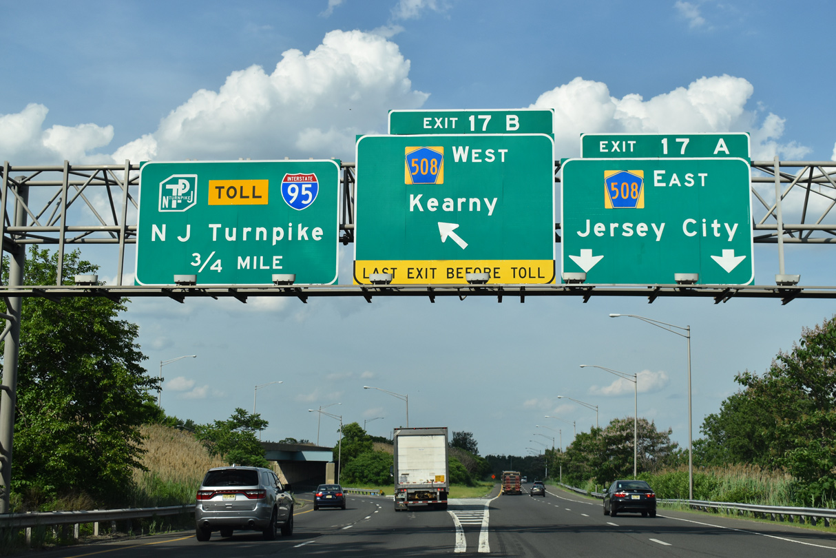
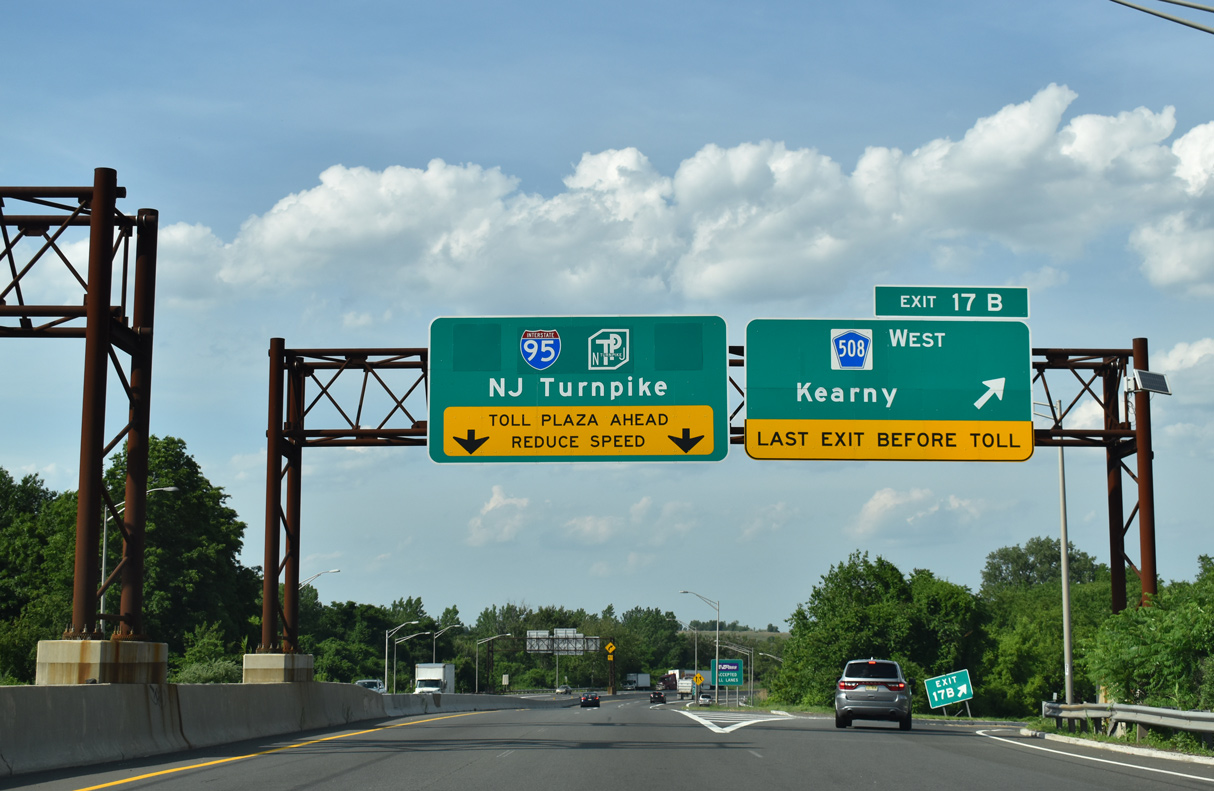
Interstate 280 curves northeast from the adjacent Passaic River to the New Jersey Turnpike. A three quarter cloverleaf interchange (Exit 17) connects the freeway with CR 508 east to Jersey City and west into Kearny. 05/31/22
North at
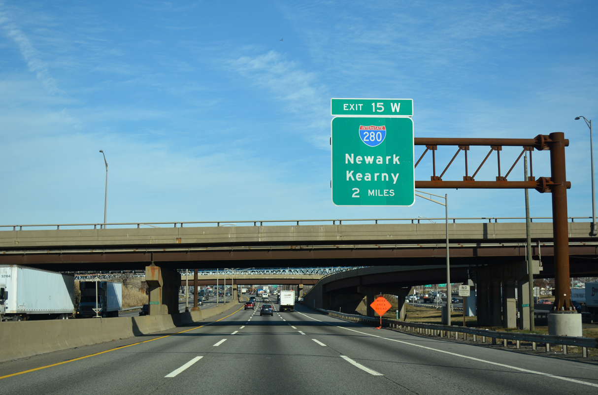
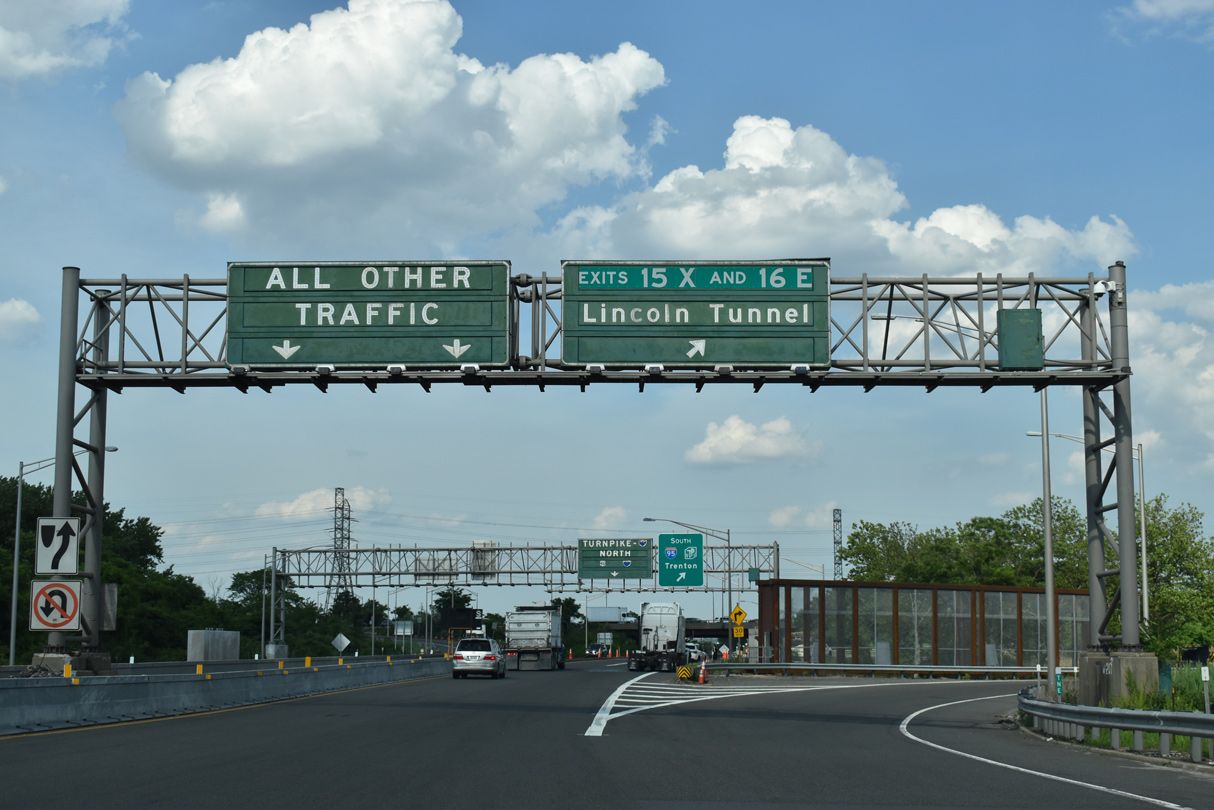
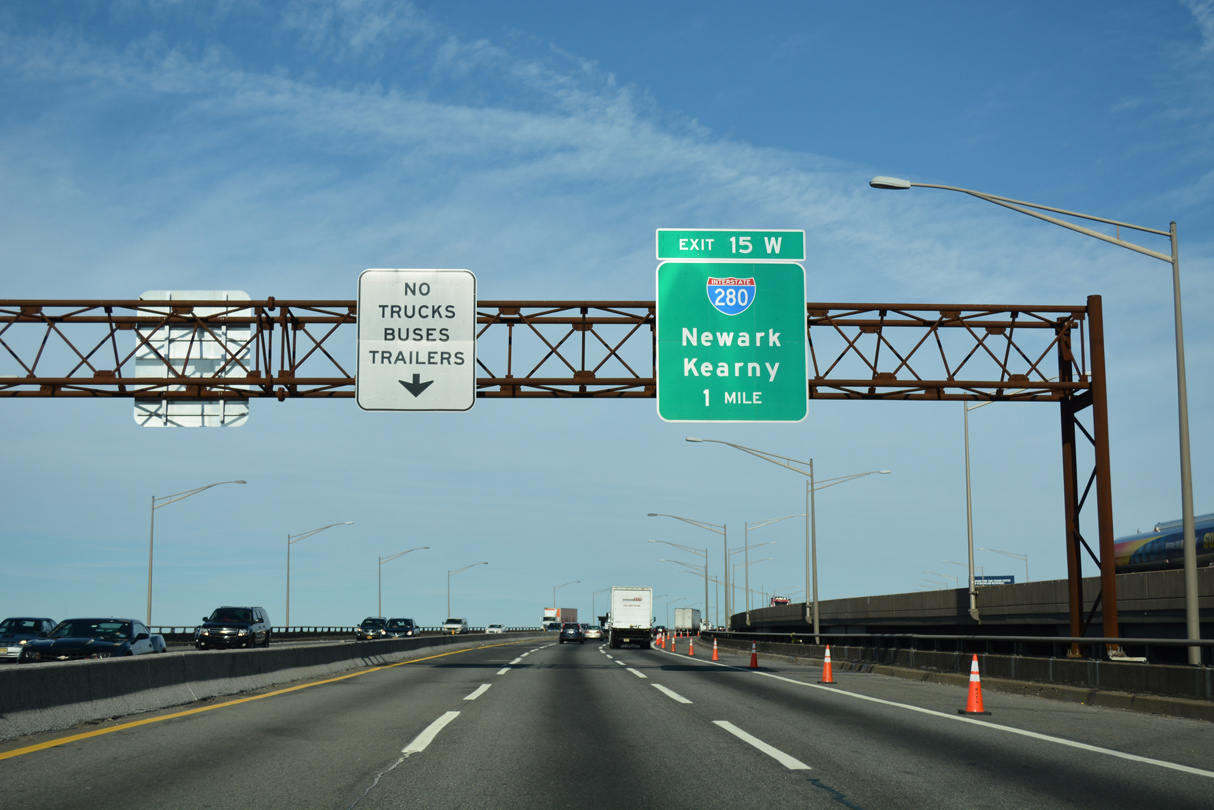
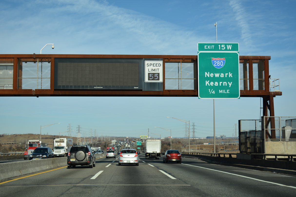
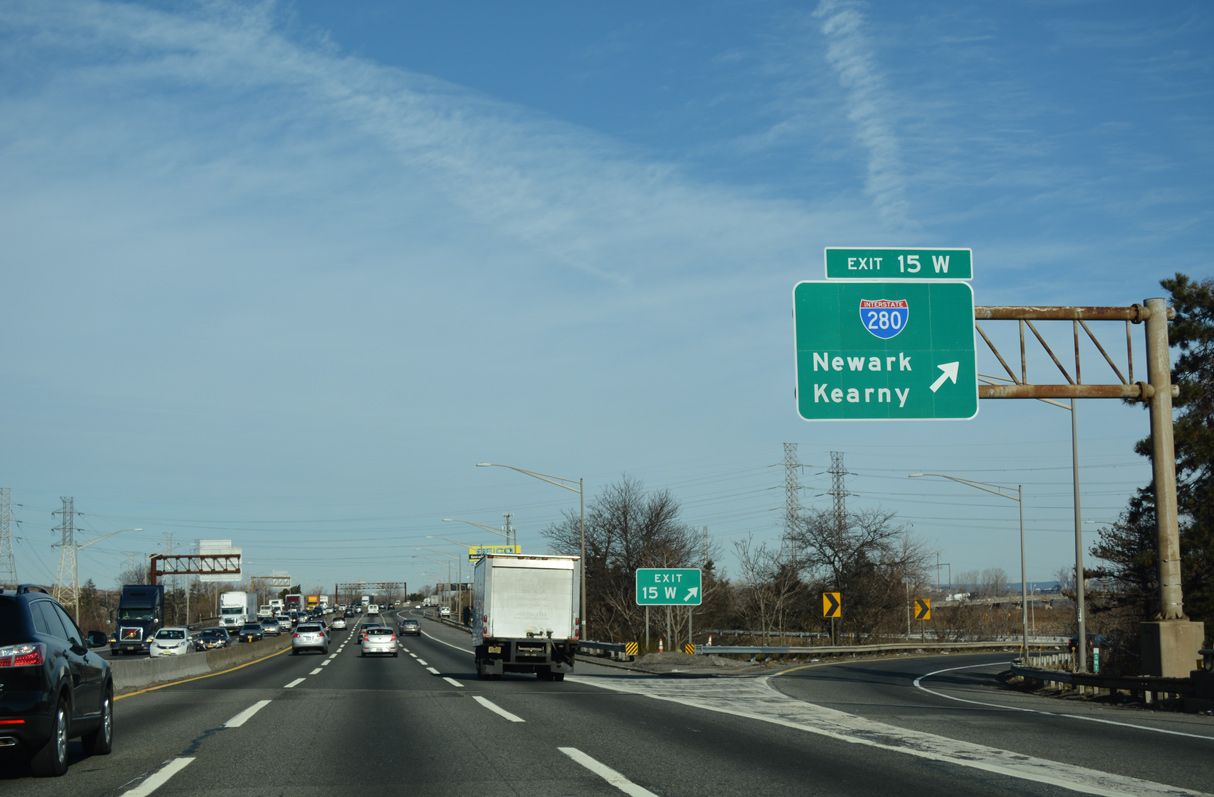
The New Jersey Turnpike split into the Western Spur (I-95W) and the Eastern Spur (I-95) north of the exchange with U.S. 1/9 Truck in Newark. The Western Spur connects with Interstate 280 at a trumpet interchange (Exit 15W). 12/19/16
Eastern Spur - South at
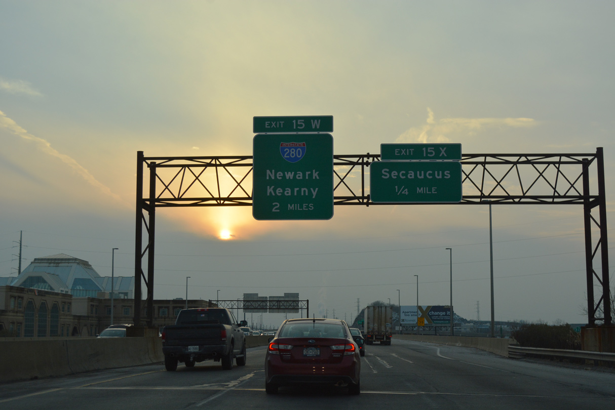
The Eastern Spur of the New Jersey Turnpike (I-95) heads southwest from Secaucus to Interstate 280 at Kearny. 12/17/17
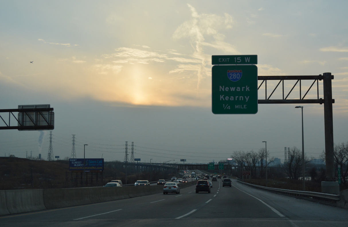
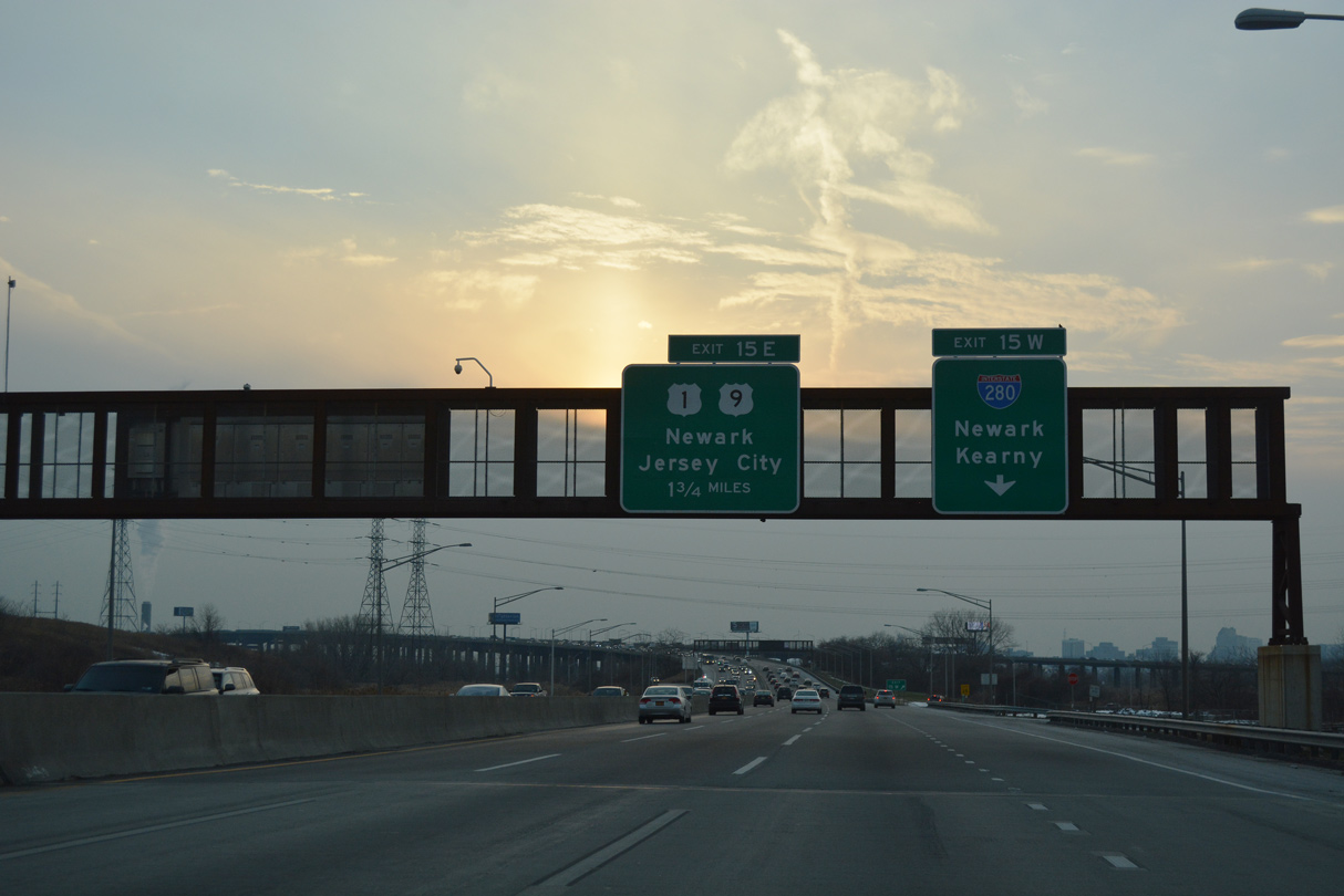
Western Spur - South at
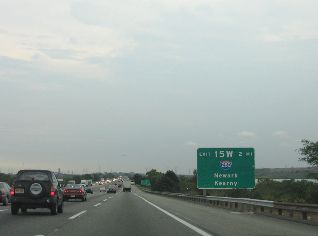
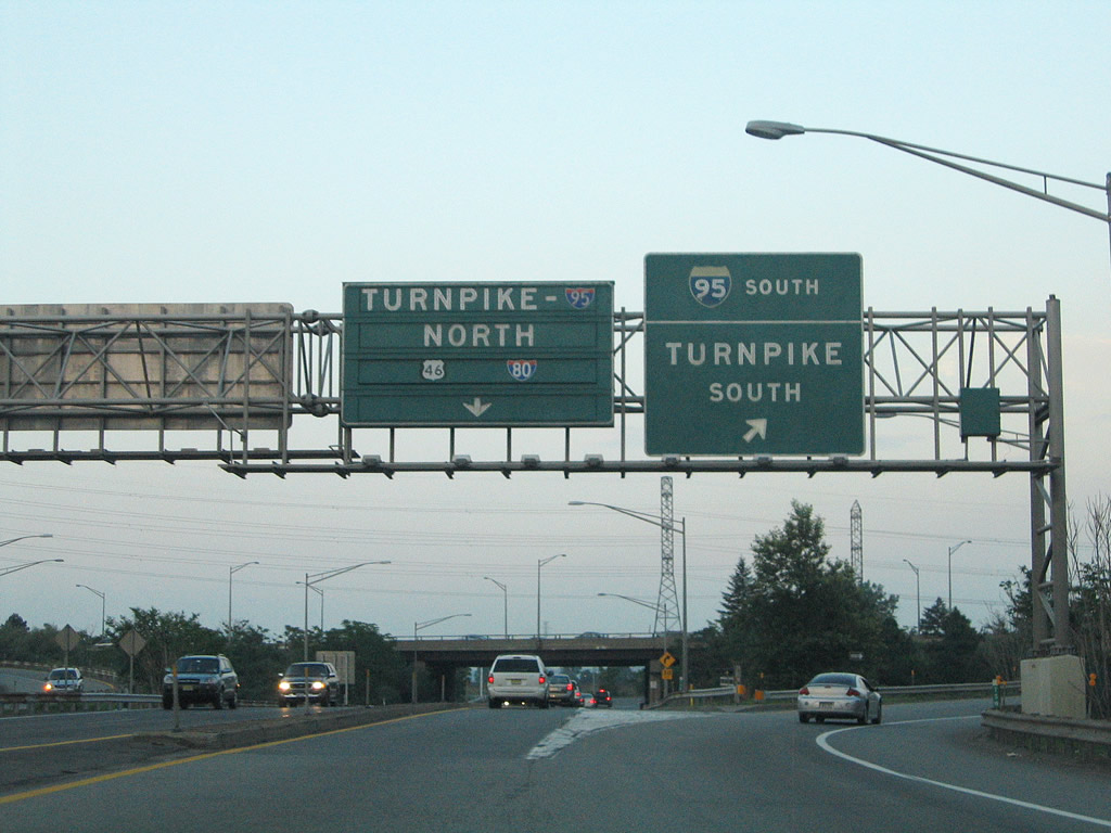
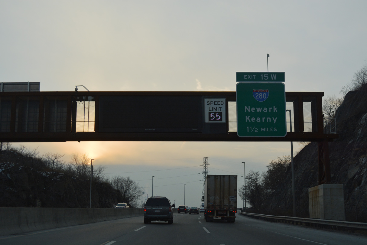
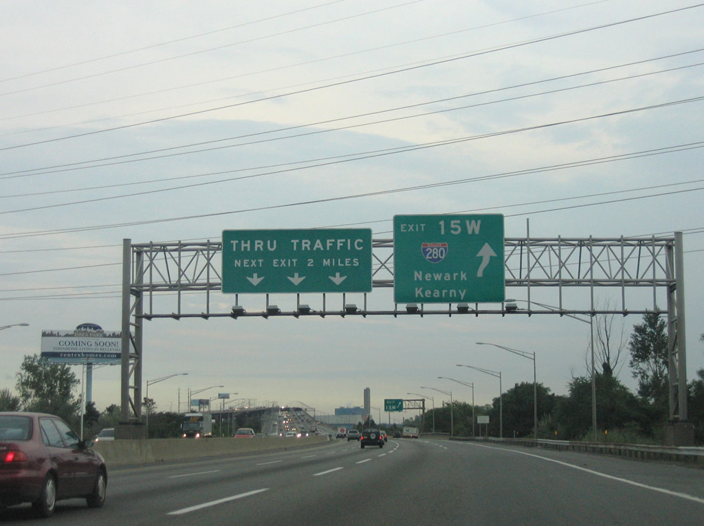
The Western Spur of the New Jersey Turnpike (I-95W) runs along a causeway by Sawmill Creek Wildlife Management Area leading south to I-280 at Exit 15W. 08/29/05
East End – Past Views
Past Views Gallery (Tap to Expand / Collapse Section)
East at
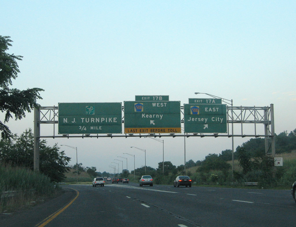
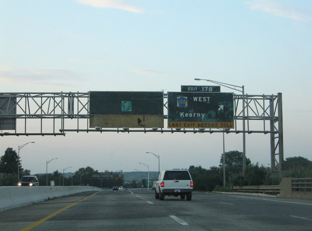
Button copy signs at the cloverleaf interchange (Exit 17) for CR 508 (Harrison Avenue) were replaced by 2012. 06/13/05
West End  ‐ Parsippany-Troy Hills, NJ
West at 
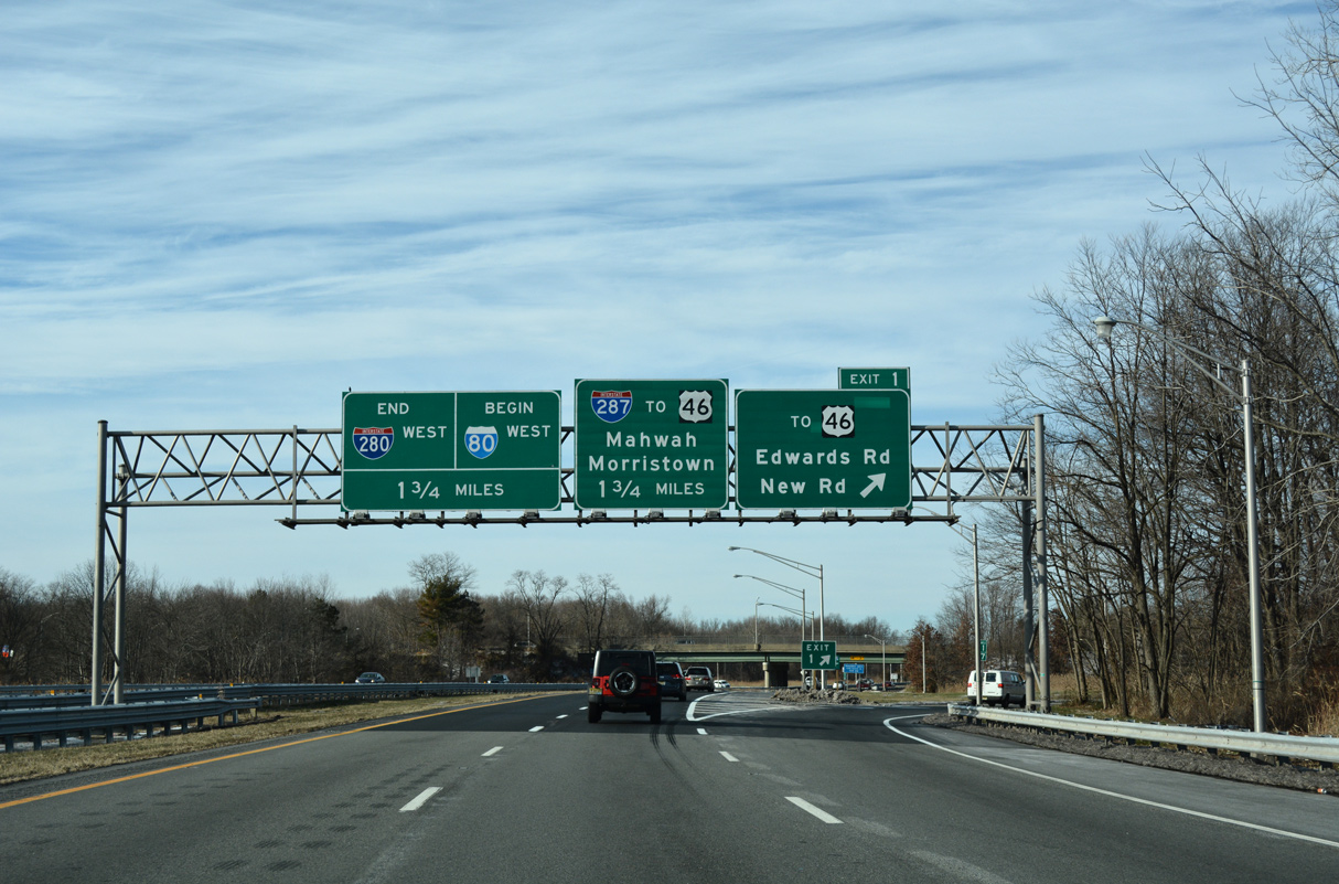
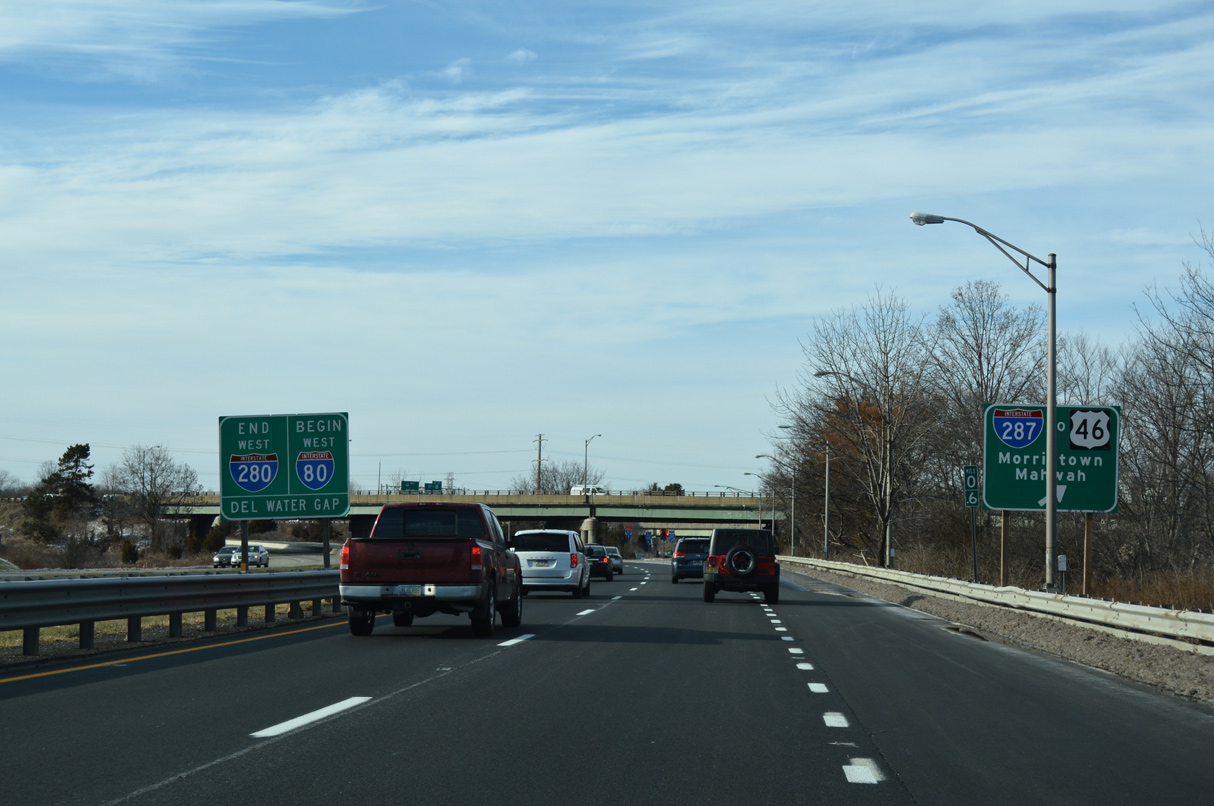
Edwards and New Roads stem north from Interstate 280 at Exit 1 to U.S. 46 near Pine Brook in Montville Township. The remainder of I-280 defaults onto Interstate 80 westbound in 1.75 miles. 12/19/16
East at
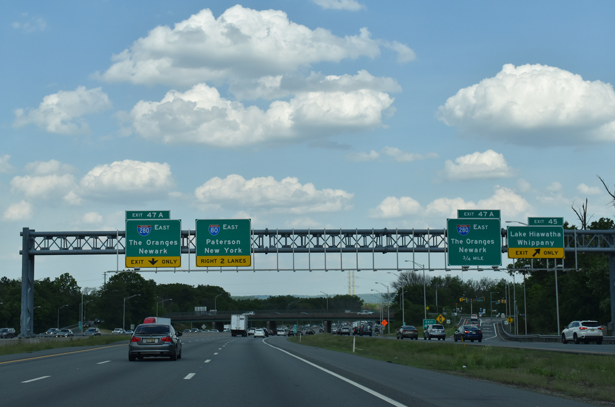
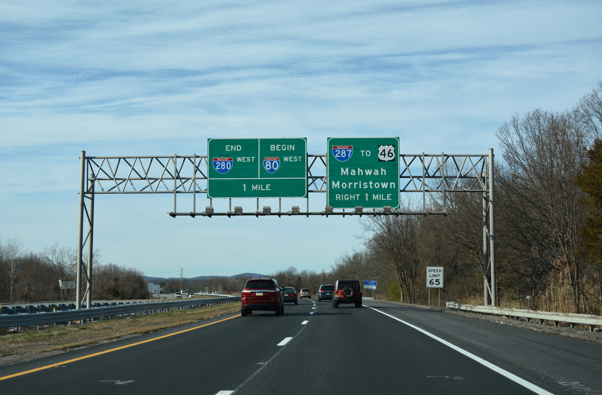
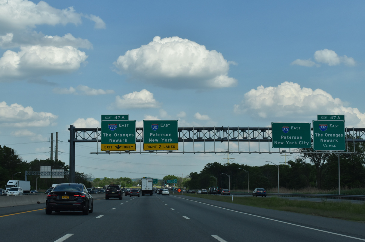
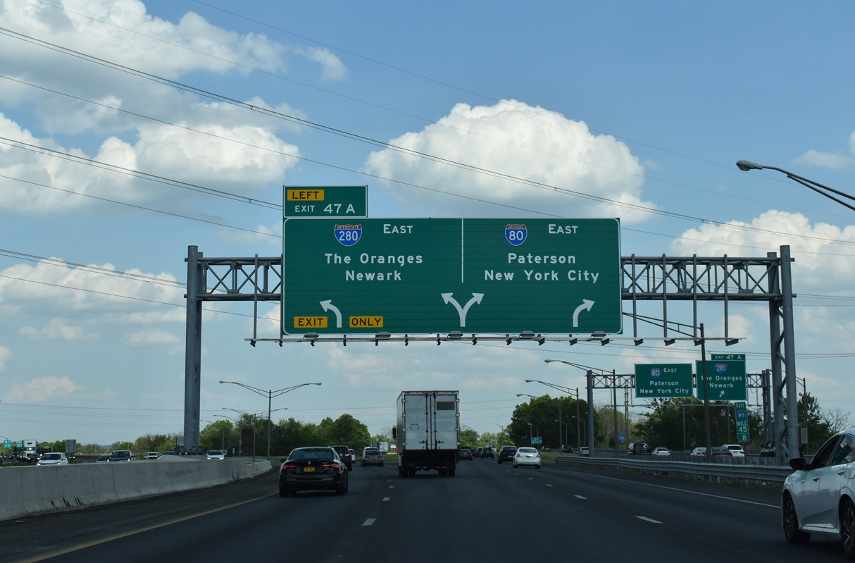
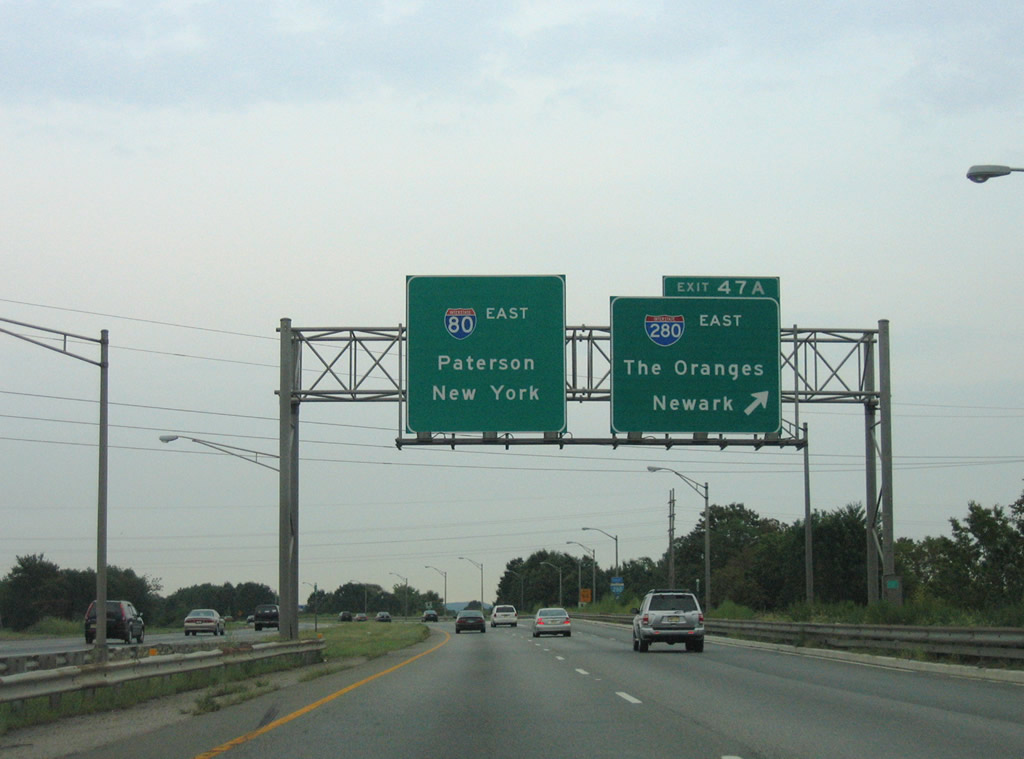
Ramps from I-287 north and Smith Road form a distributor roadway along eastbound I-80 through Parsippany-Troy Hills Township. A slip ramp (Exit 45) follows for Beverwyck Road to Lake Hiawatha. Interstate 280 branches south in 0.75 miles. 05/31/22
References
- Anderson, S. (n.d.). Interstate 280 (New Jersey). NYCRoads.com. Retrieved from http://www.nycroads.com/roads/I-280_NJ/