Interstate 280 California
Overview
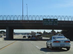
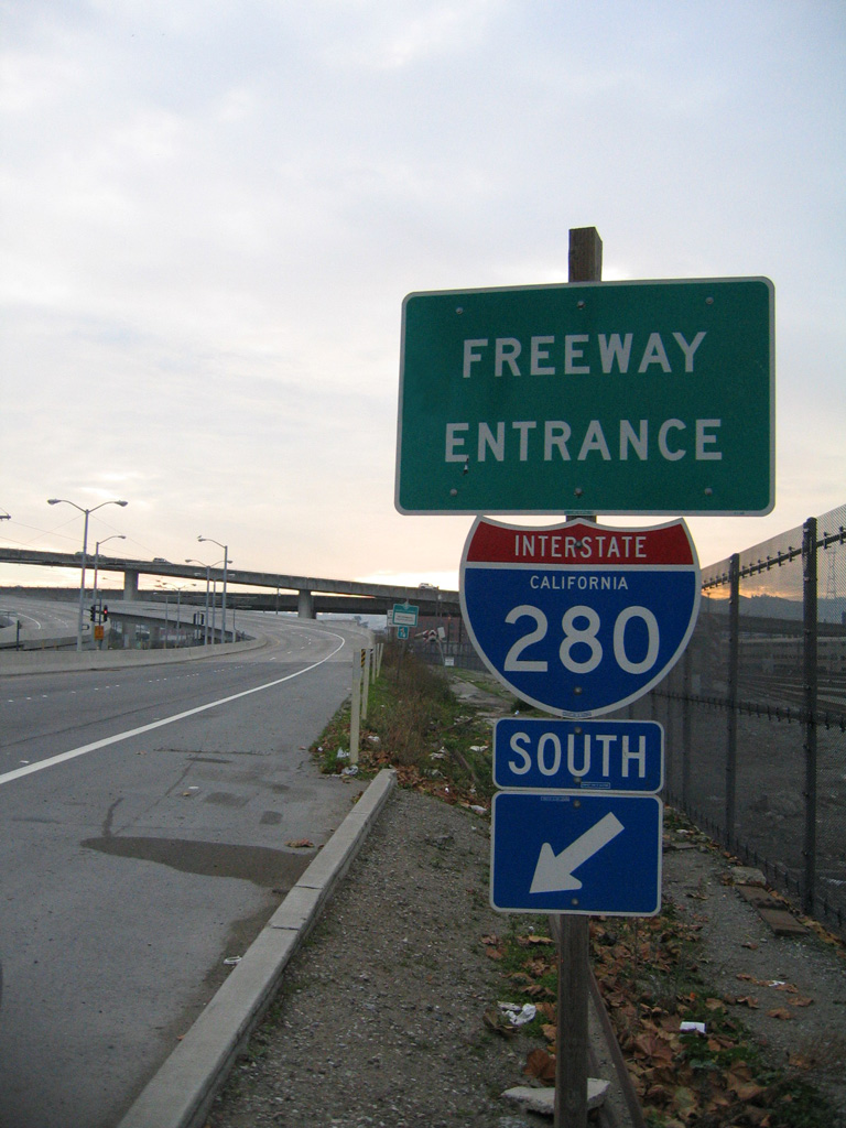
Often referred to as one of the most scenic urban freeways in America, Interstate 280 (Junipero Serra Freeway and Sinclair Freeway) comprises both an alternate and commuter route from San Francisco to San Jose. Bypassing the more industrial and crowded U.S. 101 (Bayshore Freeway), I-280 is eight lanes throughout. It follows the San Andreas fault line along the San Francisco peninsula.
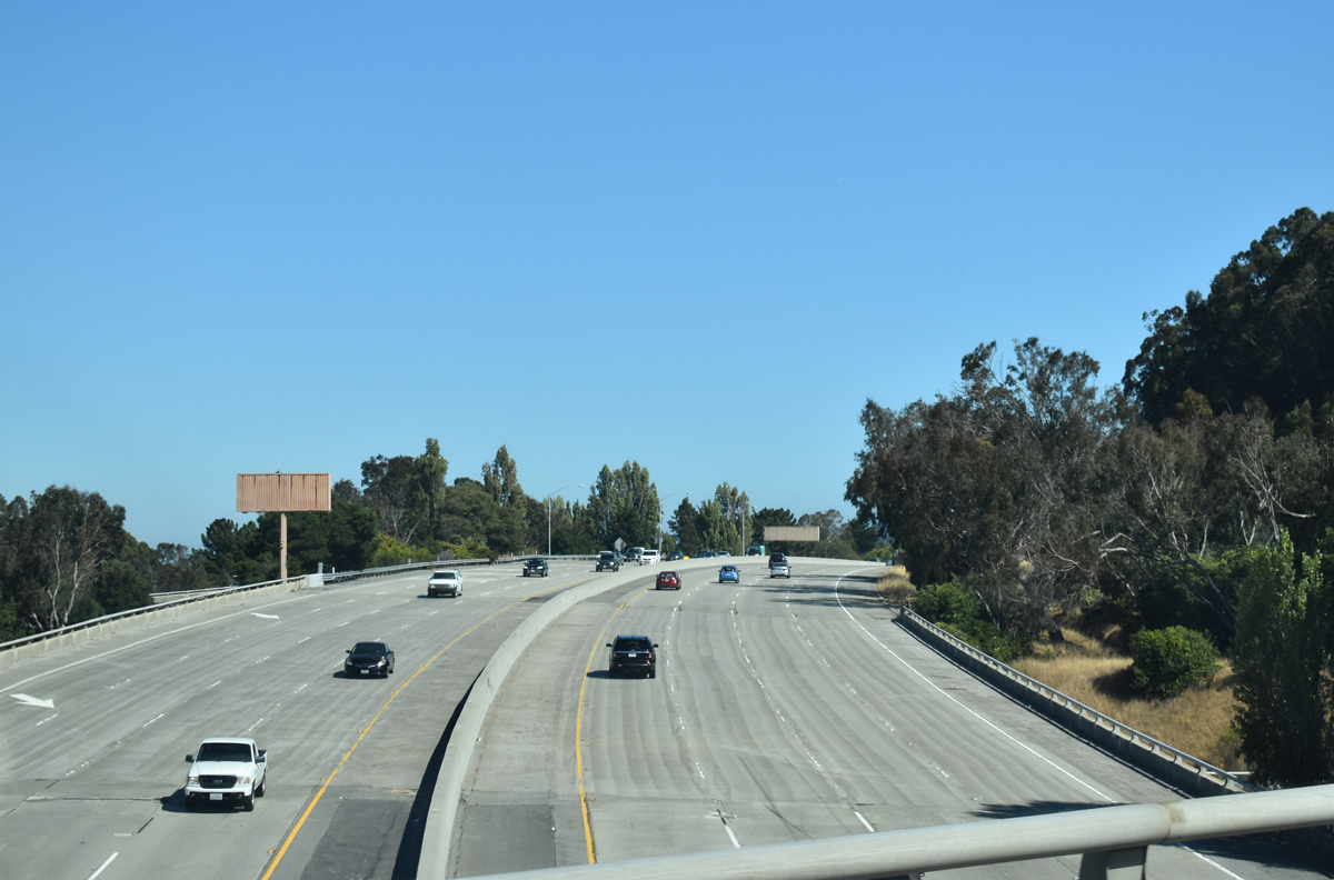
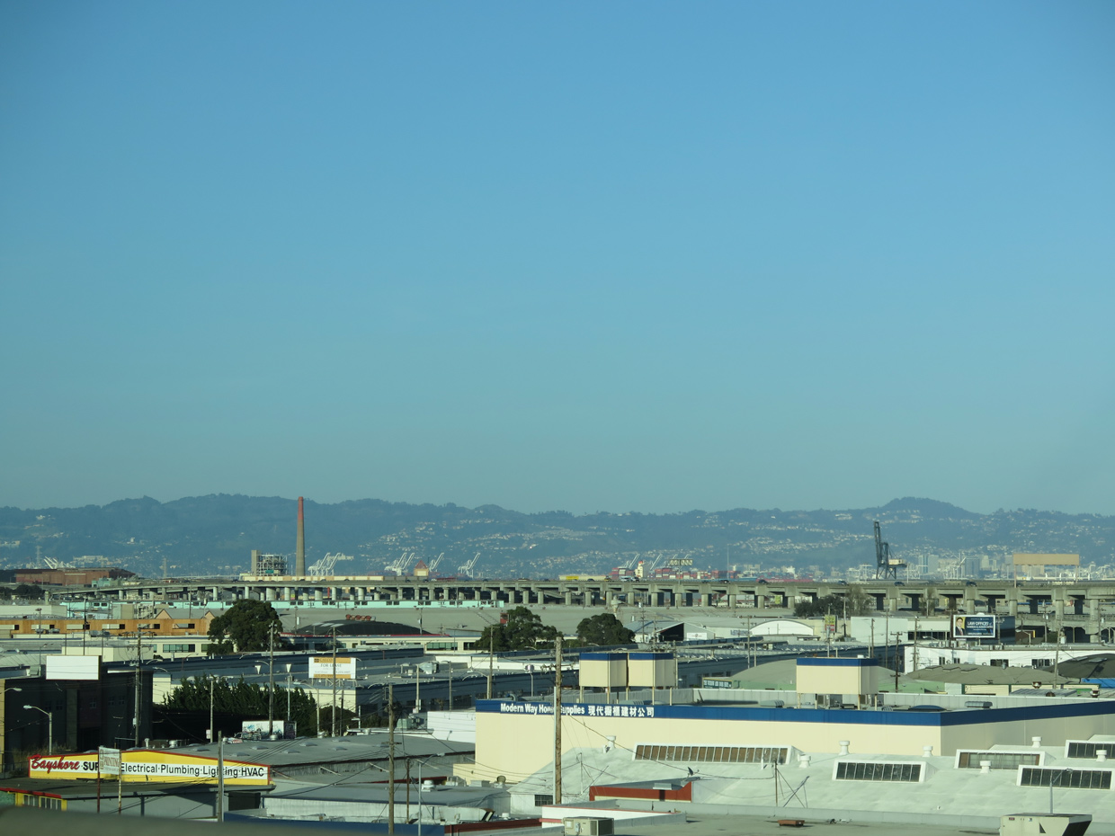
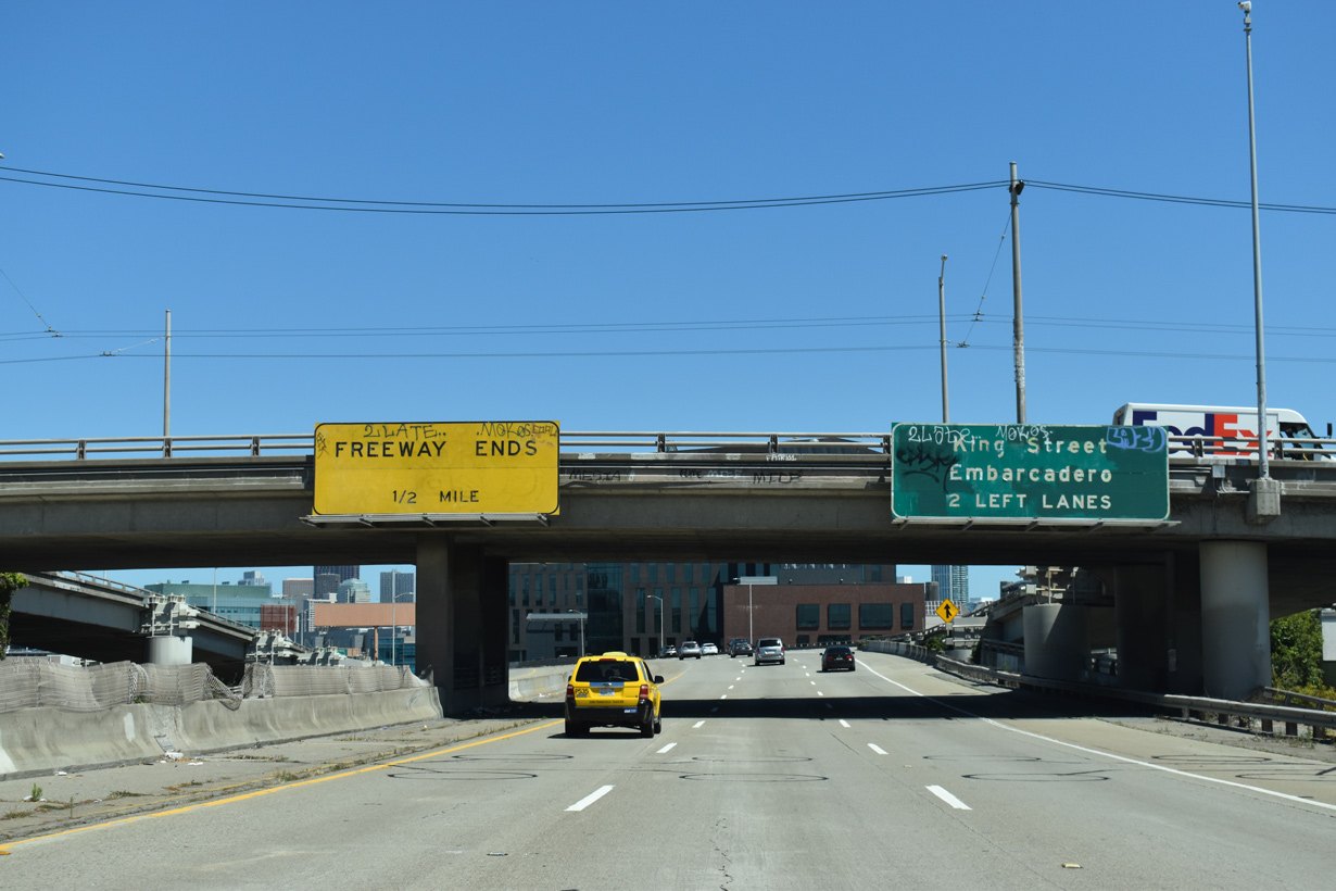
Originally planned to connect with Interstate 80 near the San Francisco-Oakland Bay Bridge, I-280 ends just shy of the parent route. It used to extend as far as Third Street, but now concludes two blocks southwest of Oracle Park (home of the MLB San Francisco Giants), where it transitions onto King Street and ultimately the Embarcadero. California Department of Transportation (Caltrans) Postmiles extend along the I-280 ramps to Brannan Street instead of King Street.
Mileage by State
| California | 57.22 mi |
Data Sources
December 31, 2021 Interstate Route Log and Finders List
History
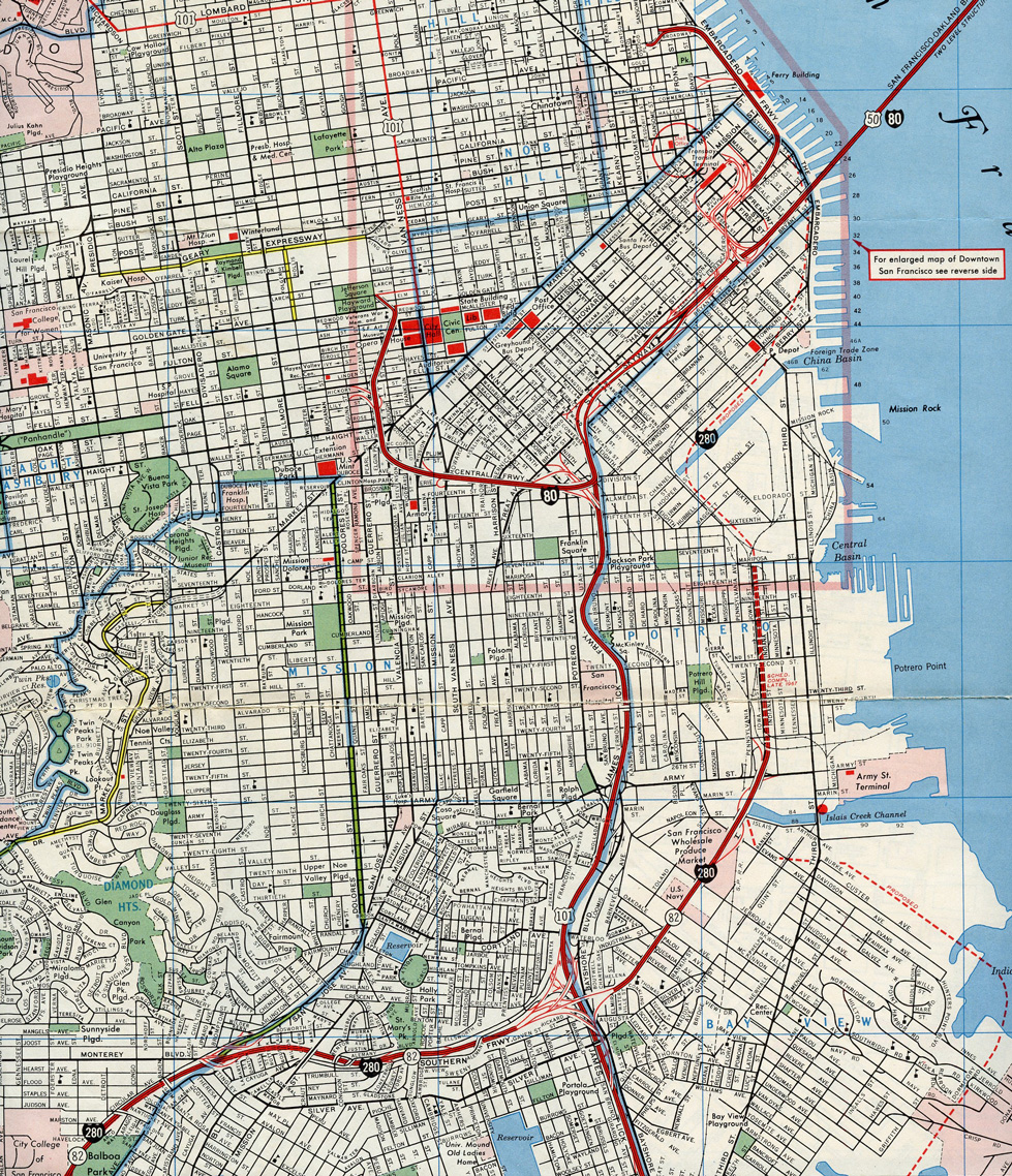
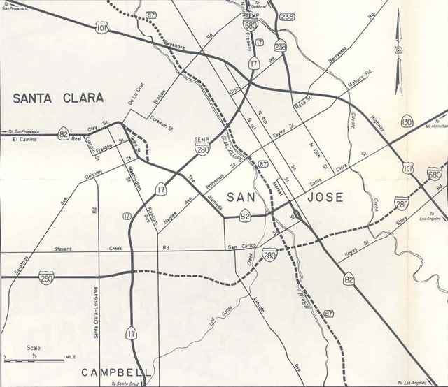
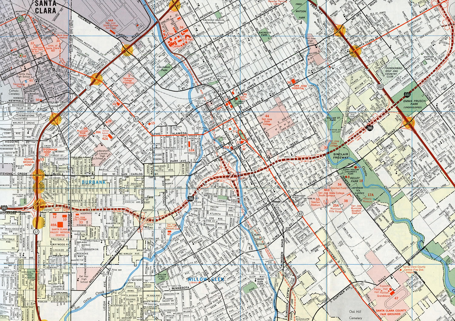
One of several routes cancelled during the San Francisco Freeway Revolt of the 1960s, Interstate 280 was originally proposed along a different course than where it ends today. As displayed on the 1964 Official California State Map, the section of today's I-280 between SR 82 and I-80 was to be signed as a northern extension of SR 82 and SR 87.
I-280 was instead proposed to run northward along a corridor roughly paralleling SR 1 (19th Avenue). It was to follow Junipero Serra Boulevard, Portola Drive and Seventh Avenue, then skirt the eastern edge of Golden Gate Park, where it would have converged with a western extension of I-80. Continuing north, I-280 would have followed Park Presidio Boulevard into the Presidio. Interstate 280 would have ended at the southern end of the Golden Gate Bridge, where U.S. 101 would continue north to Marin County and Interstate 480 would turn east along the unconstructed Golden Gate Freeway and demolished Embarcadero Freeway to connect with I-80 at the San Francisco-Oakland Bay Bridge. This in effect would have created a belt freeway system for San Francisco.
However, between 1965 and 1968, San Francisco city government decided not to construct most of the planned freeway system. Short portions of SR 480 (Embarcadero Freeway) and U.S. 101 (Central Freeway) were built, but neither spur connected with another freeway beyond I-80. Since the proposed alignment of I-280 had yet to be constructed prior to the revolt, it was dropped from plans in its entirety. As a result, I-280 was rerouted onto the SR 82 corridor north to U.S. 101 and SR 87 from there to Interstate 80.
Interstate 280 was retracted two blocks west from 3rd Street and realigned onto King Street due in part from damage during the 1989 Loma Prieta Earthquake and the subsequent redevelopment in the vicinity of the San Francisco Giants ballpark. The elevated roadway previously ran directly along side the China Basin Water Channel from the Sixth Street ramps to a stub end at 3rd Street in South Beach.
North End ‐ Brannan and King Streets – San Francisco, CA
 North at 6th and King Streets
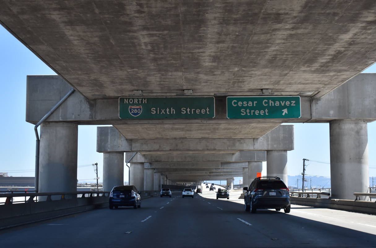
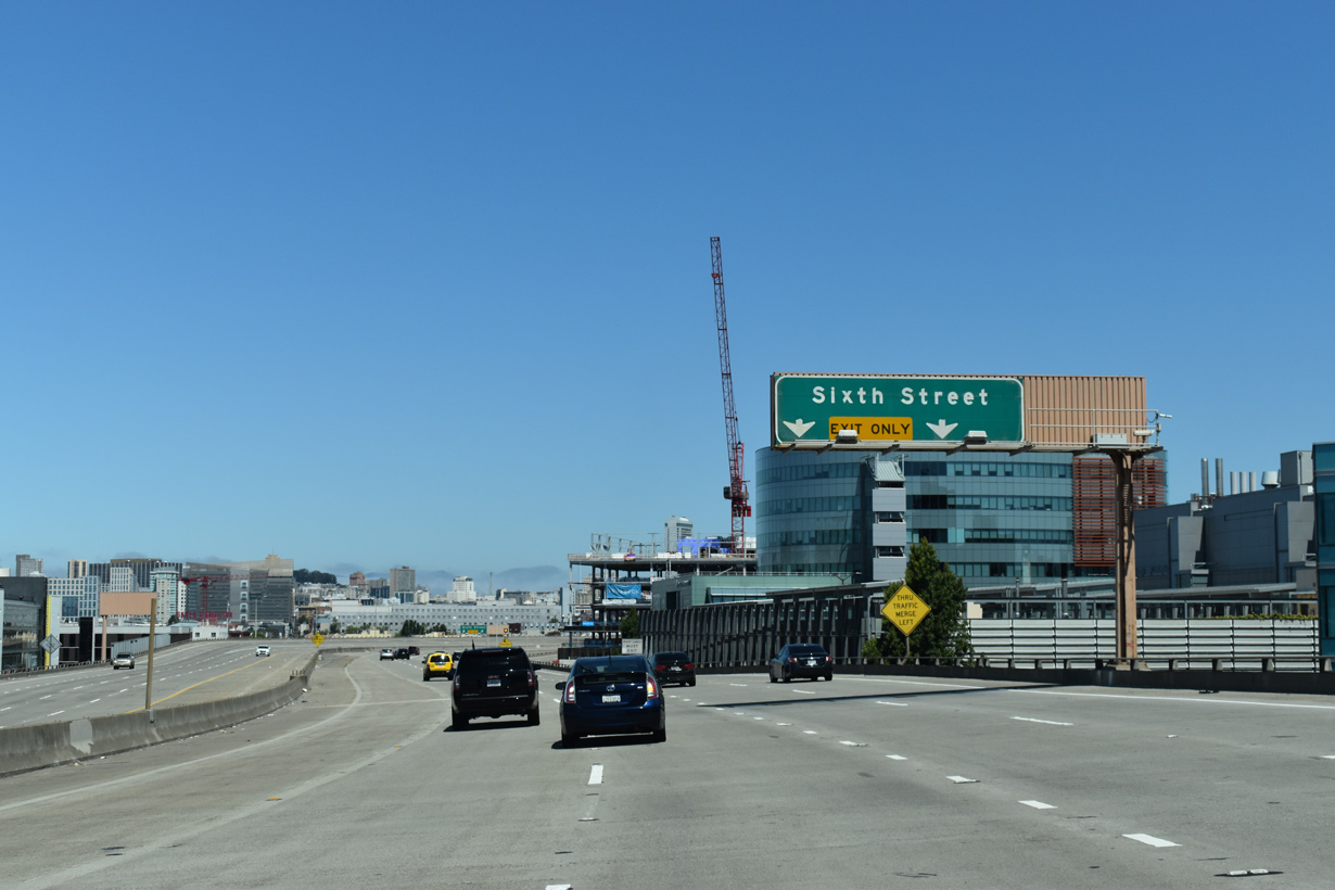
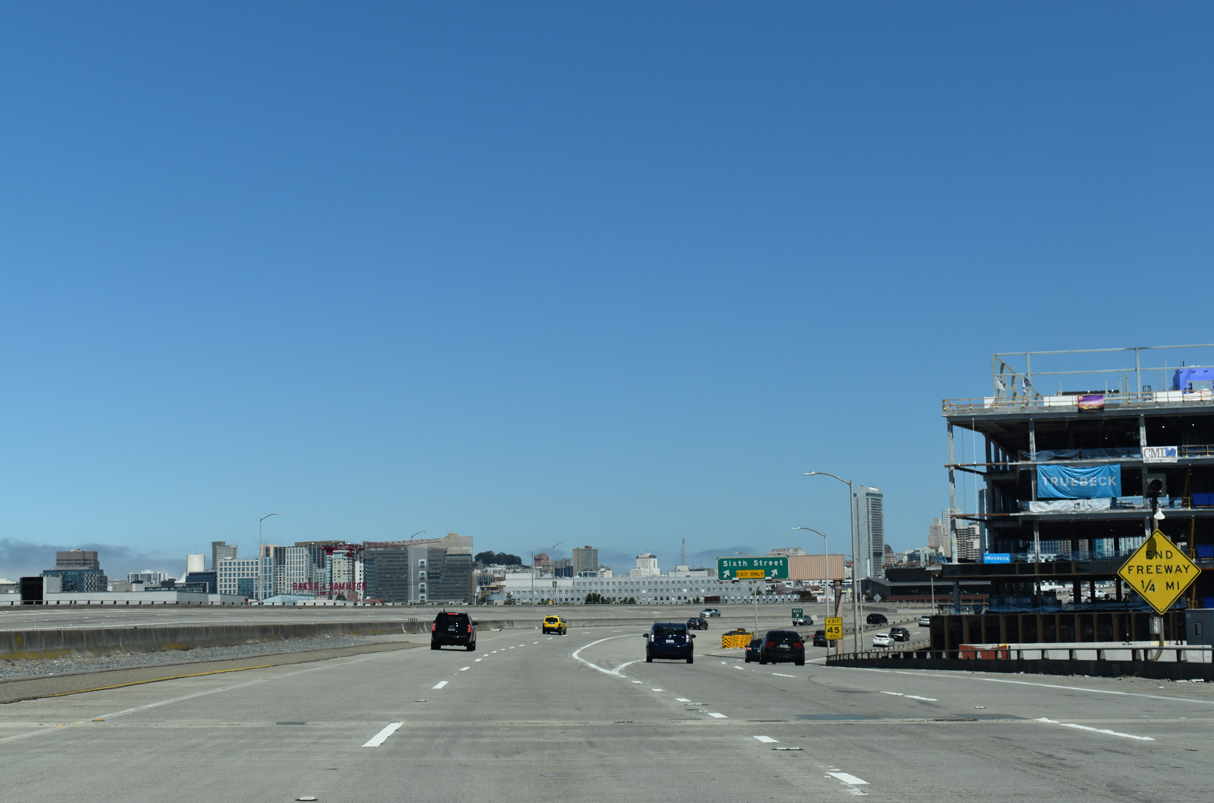
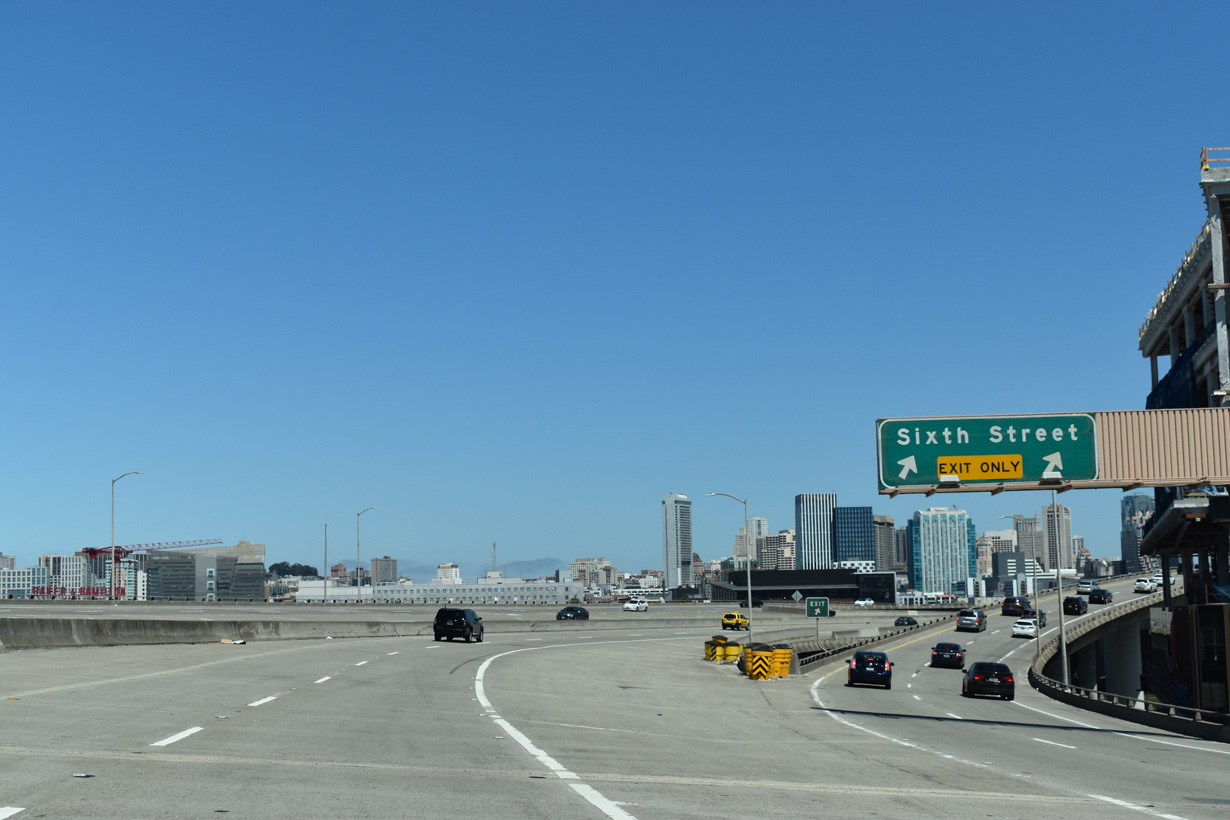
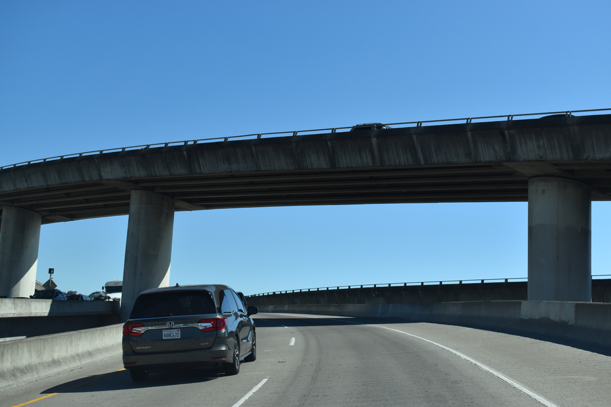
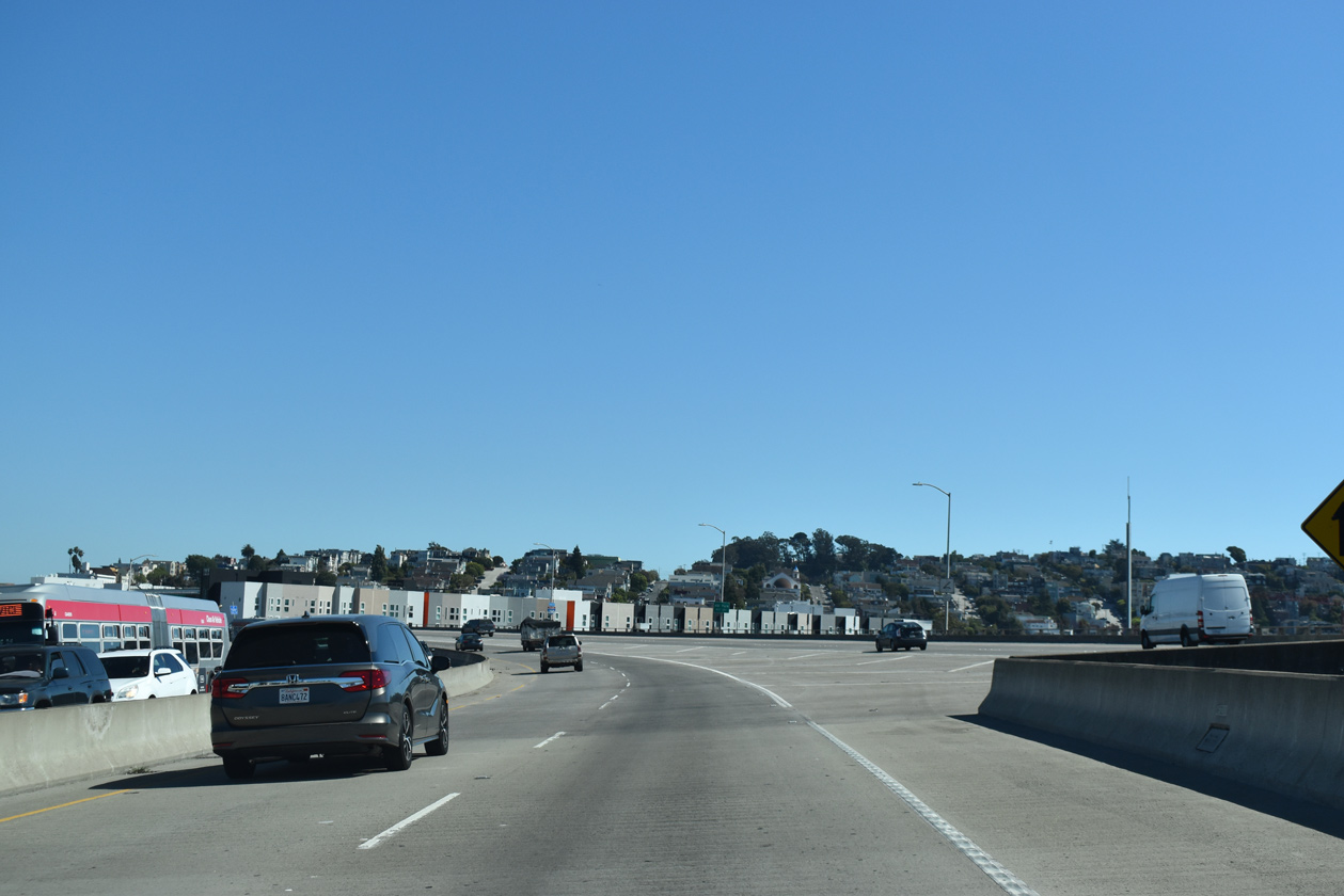
North from the exchange with U.S. 101, Interstate 280 follows a double-decked, elevated freeway to Exit 55 for Cesar Chavez Street (formerly Army Street). I-280 concludes in 2.4 miles at Sixth Street. 07/15/23
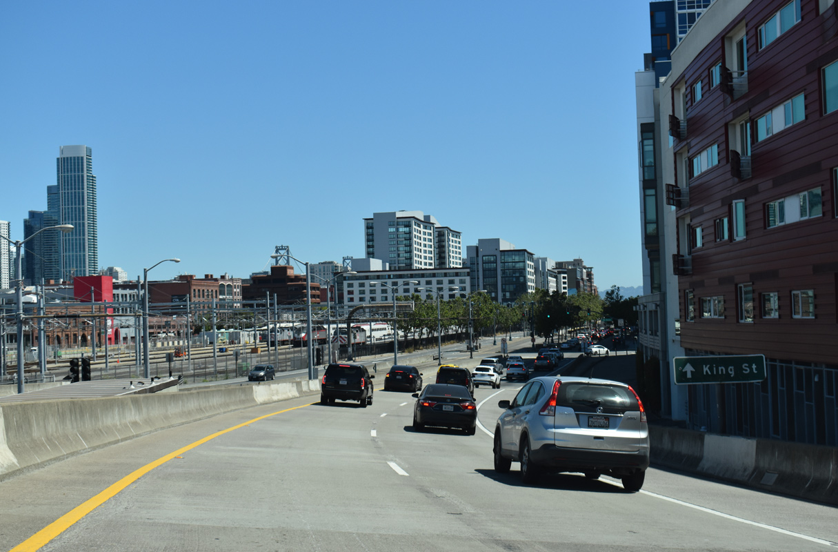
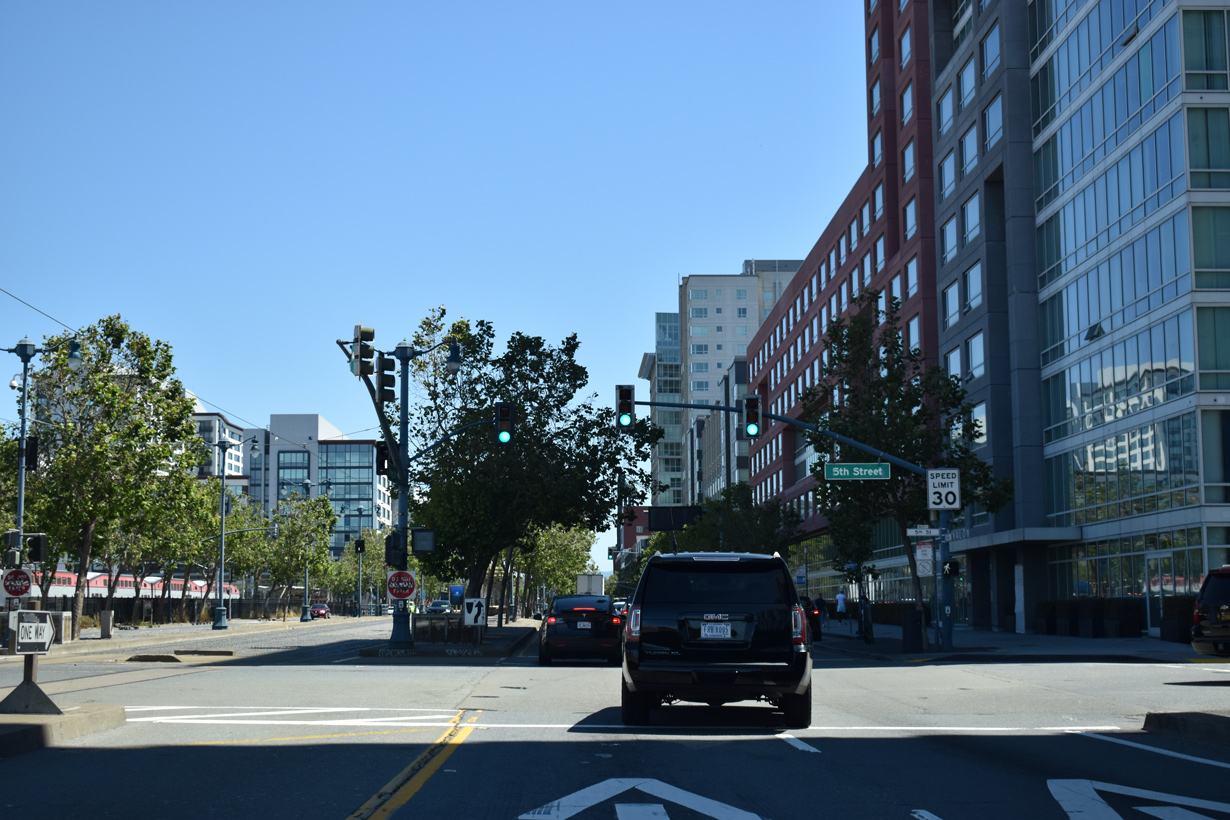
King Street – South at
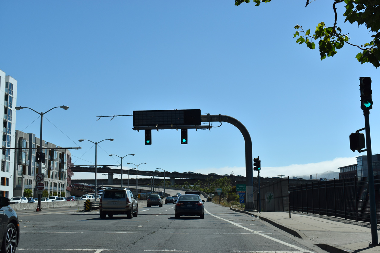
King Street extends two blocks southwest from Oracle Park, home of the MLB San Francisco Giants to become Interstate 280 at the signalized intersection with 5th Street. 07/11/18
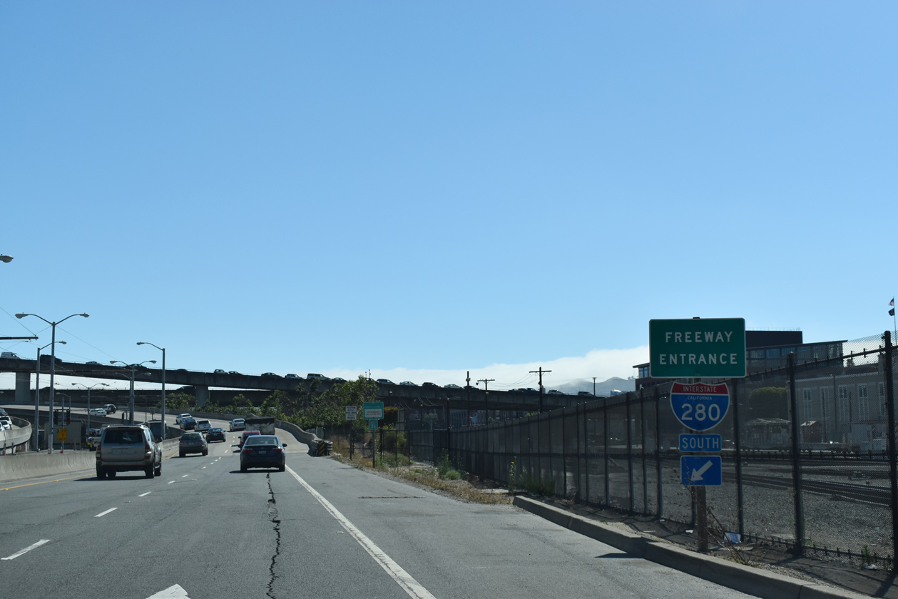
South End 
 ‐ San Jose, CA
South at
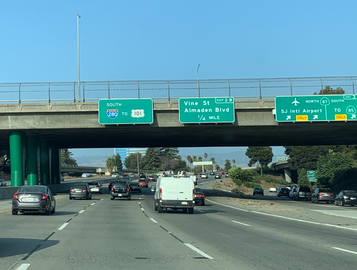
Interstate 280 proceeds three miles northeast from the four level interchange with SR 87 (Guadalupe Freeway) near Downtown San Joe to U.S. 101 and I-680. Photo by Peter Johnson (09/18/20).
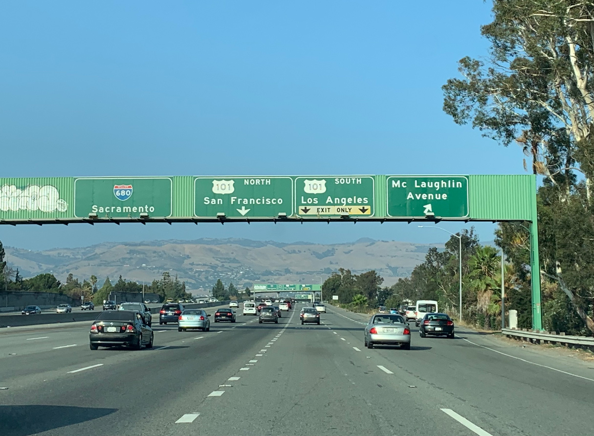
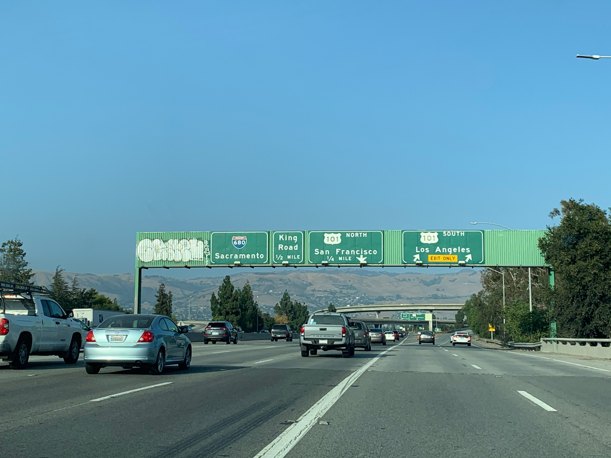
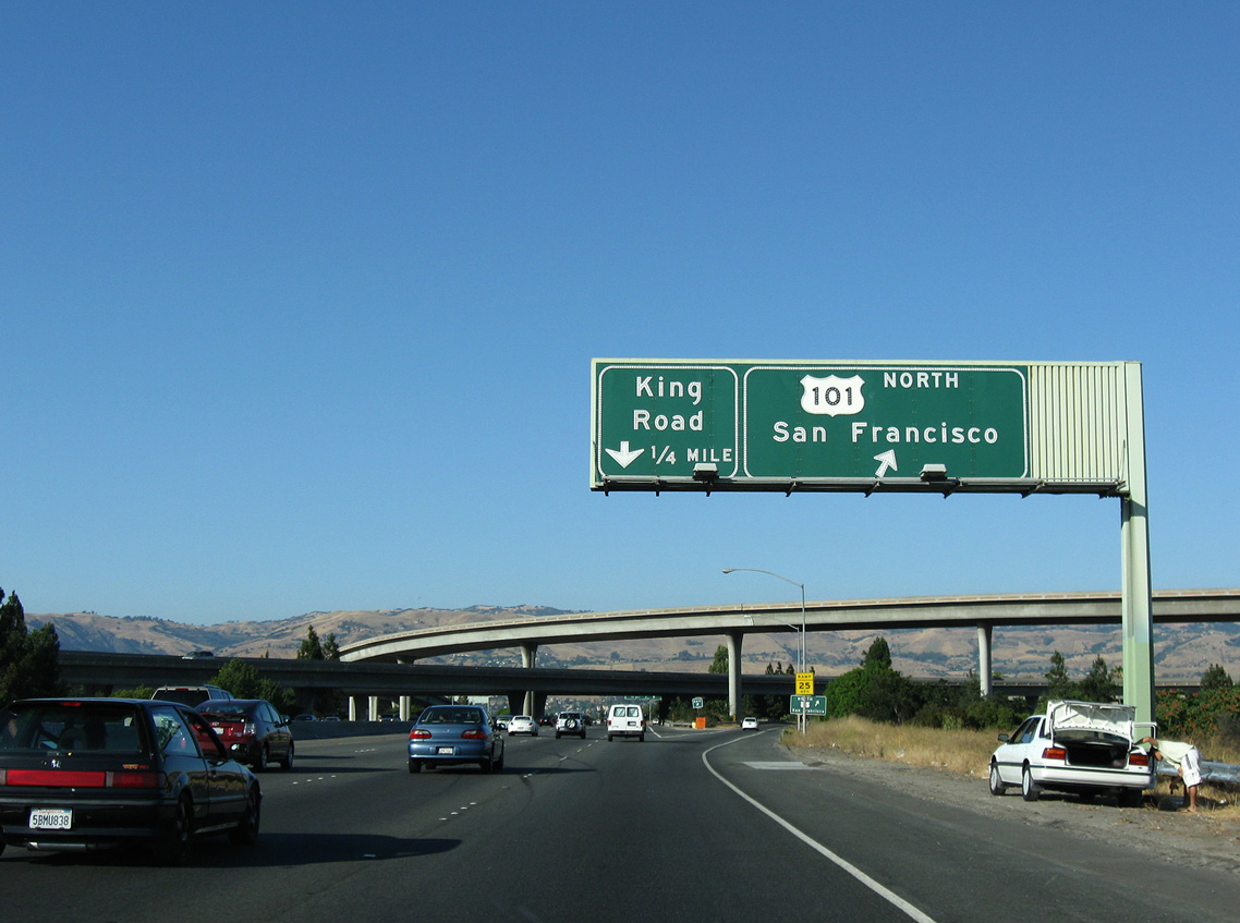
South at
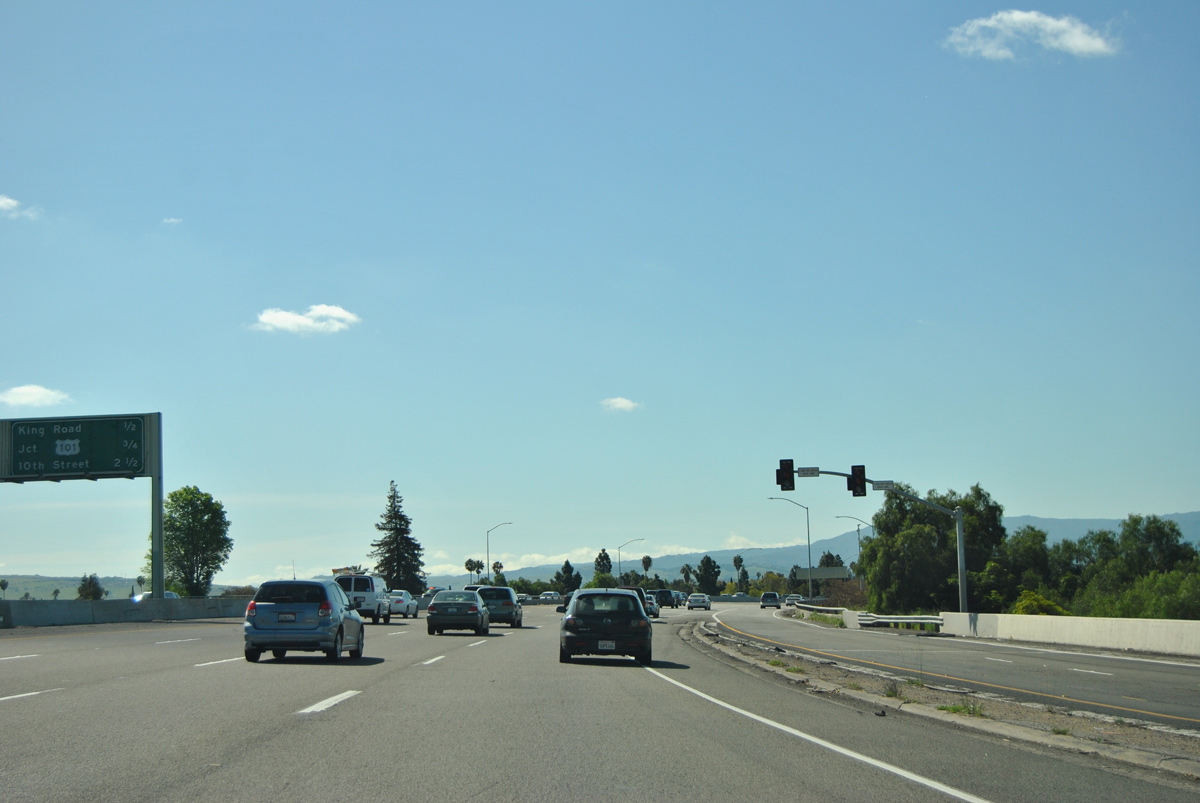
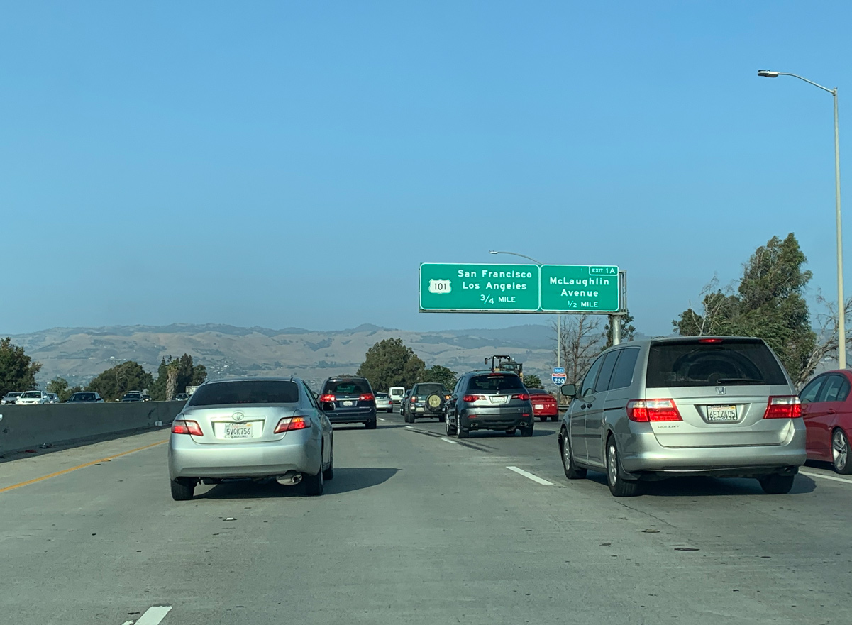
I-680 south turns west from Alum Rock, San Jose between North Valley and East San Jose toward U.S. 101 and the transition to Interstate 280 north. 03/27/16
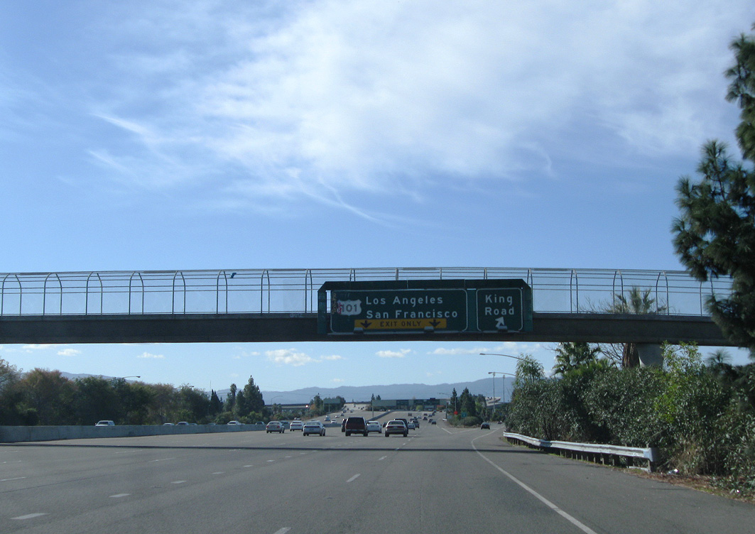
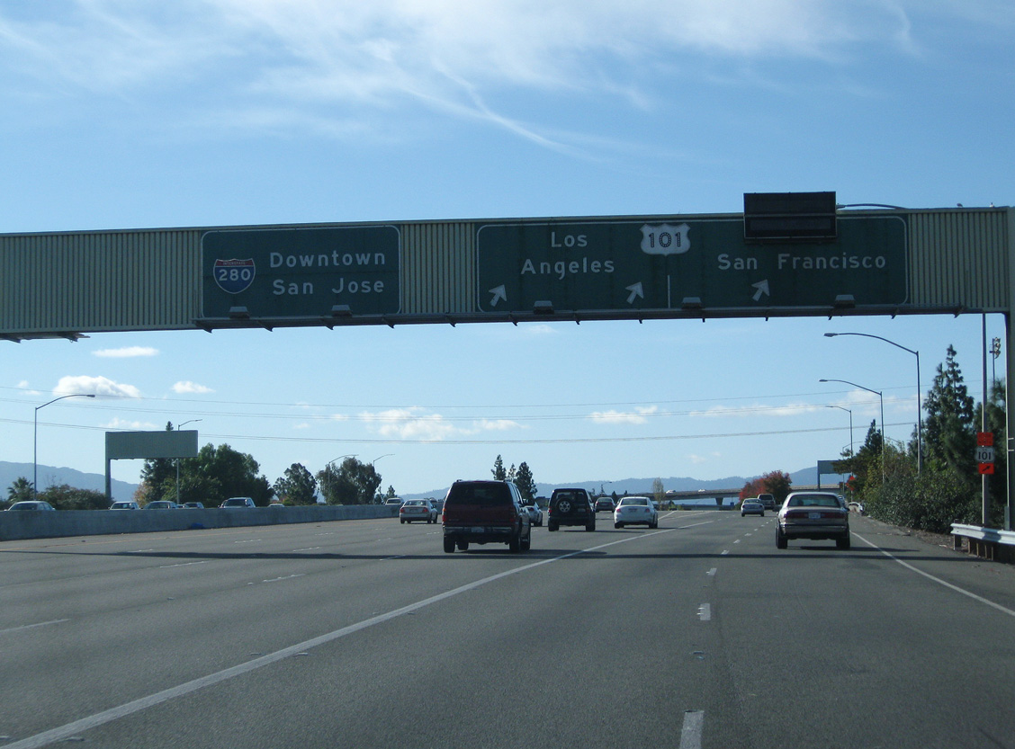
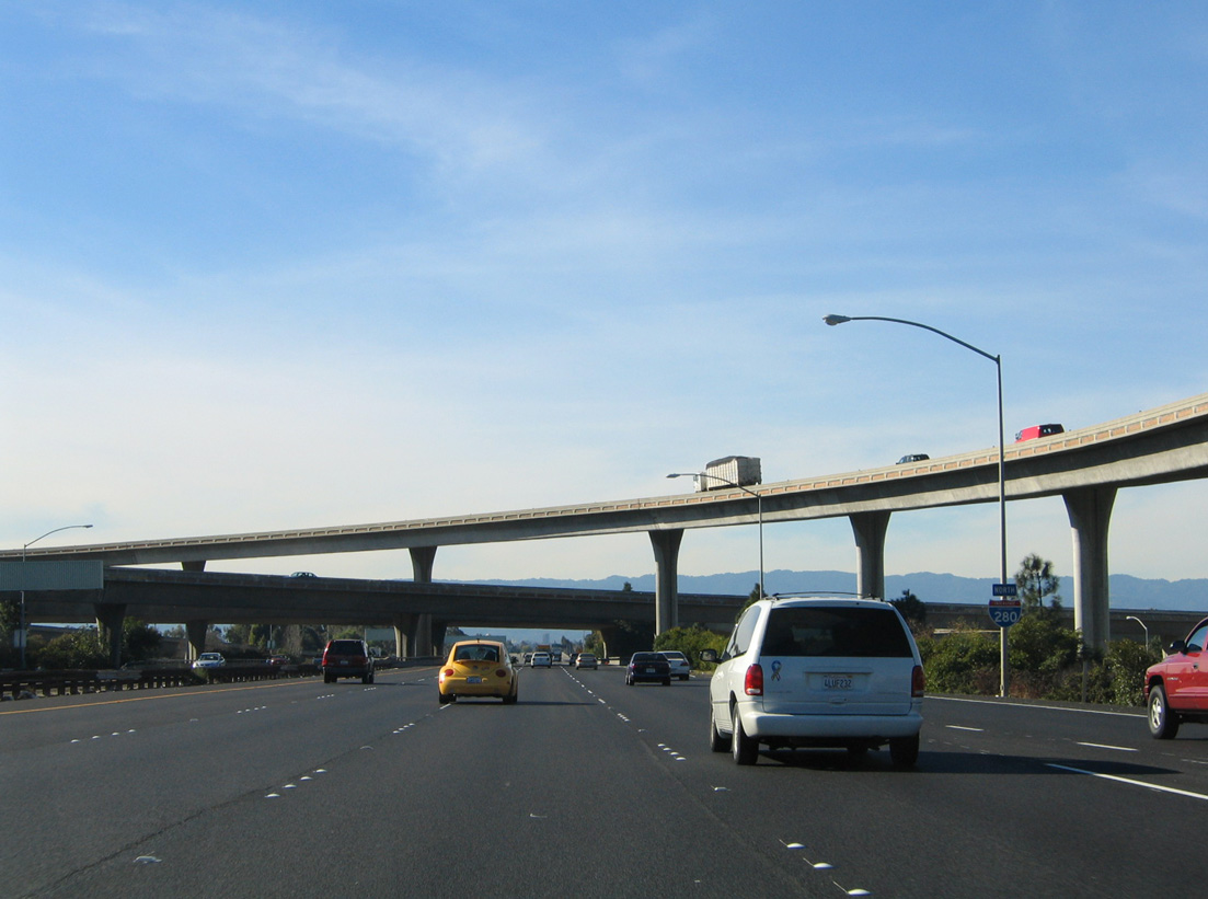
North at
U.S. 101 advances one mile north to the cloverstack interchange (Exit 384) with Interstate 280 north to Downtown San Jose and Interstate 680 north to Fremont and Walnut Creek. 03/25/16
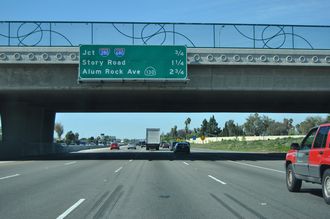
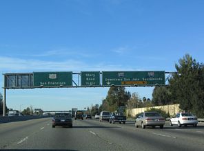
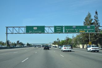
South at
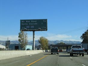
U.S. 101 (Bayshore Freeway) meets Santa Clara Street / Alum Rock Road (SR 130) ahead of I-280 north to Downtown San Jose and I-680 north to Fremont and Walnut Creek. SR 130 is a winding road to Mount Hamilton that was previously planned as a freeway from San Jose to the Central Valley. 11/29/04