Interstate 264 Kentucky
Overview
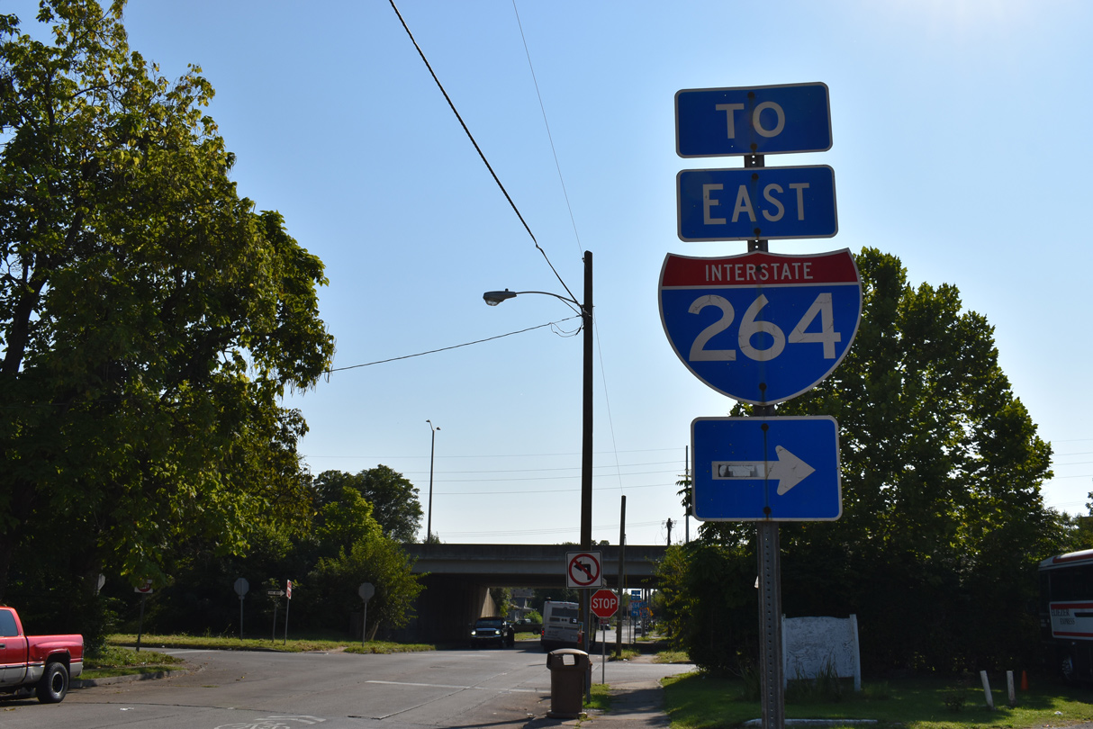
Interstate 264 is an urban loop encircling central Louisville. Following the Shawnee Expressway west of U.S. 31W/60 at Shively and the Henry Watterson Expressway east of Dixie Highway to St. Matthews and Indian Hills, I-264 provides an alternate route for I-64.
Mileage by State
| Kentucky | 22.93 mi |
Data Sources
KYTC Functional Classification Interactive Map. https://maps.kytc.ky.gov/functionalclass/
History
Interstate 264 was one of two routes approved by the American Association of State Highway Officials (AASHO) for the Kentucky statewide urban Interstate numerology on November 10, 1958. The other was I-471 at the Covington-Newport urban area, which was redesignated from I-271.
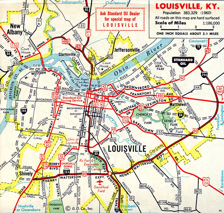
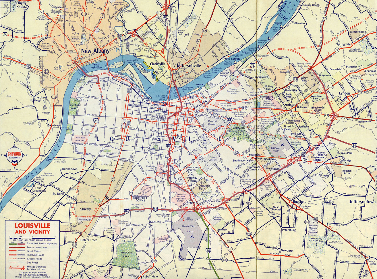
Named because it runs through the Shawnee neighborhood of Louisville, the Shawnee Expressway opened to traffic in 1970. The Watterson Expressway, named after Henry Watterson, a journalist and editor of the local paper, began as a stretch of freeway between Dixie Highway and Shelbyville Road in 1948. Completion of the route to Interstate 71 followed by 1974.
East End  ‐ Northfield, KY
 East at
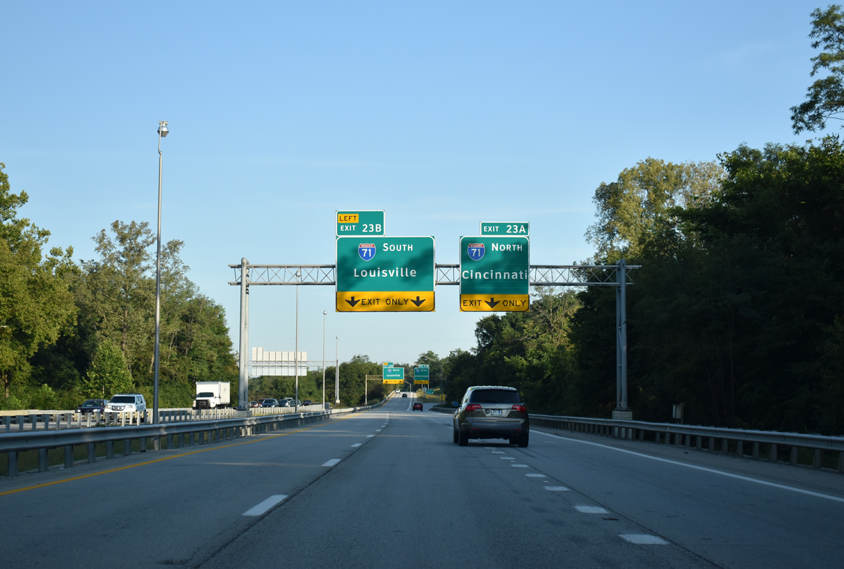
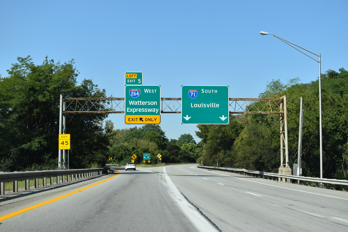
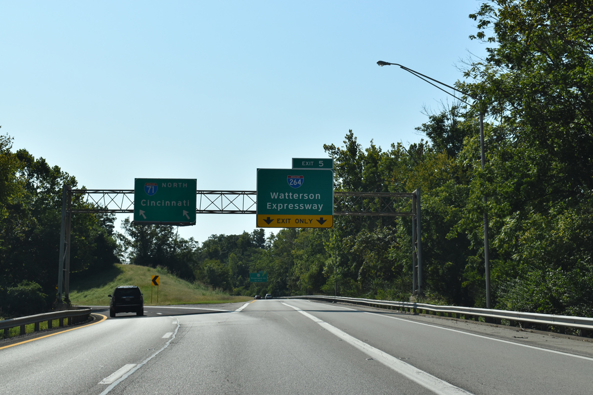
Traffic partitions along Interstate 264 eastbound for I-71 north of U.S. 42 by the city of Northfield. 09/08/20
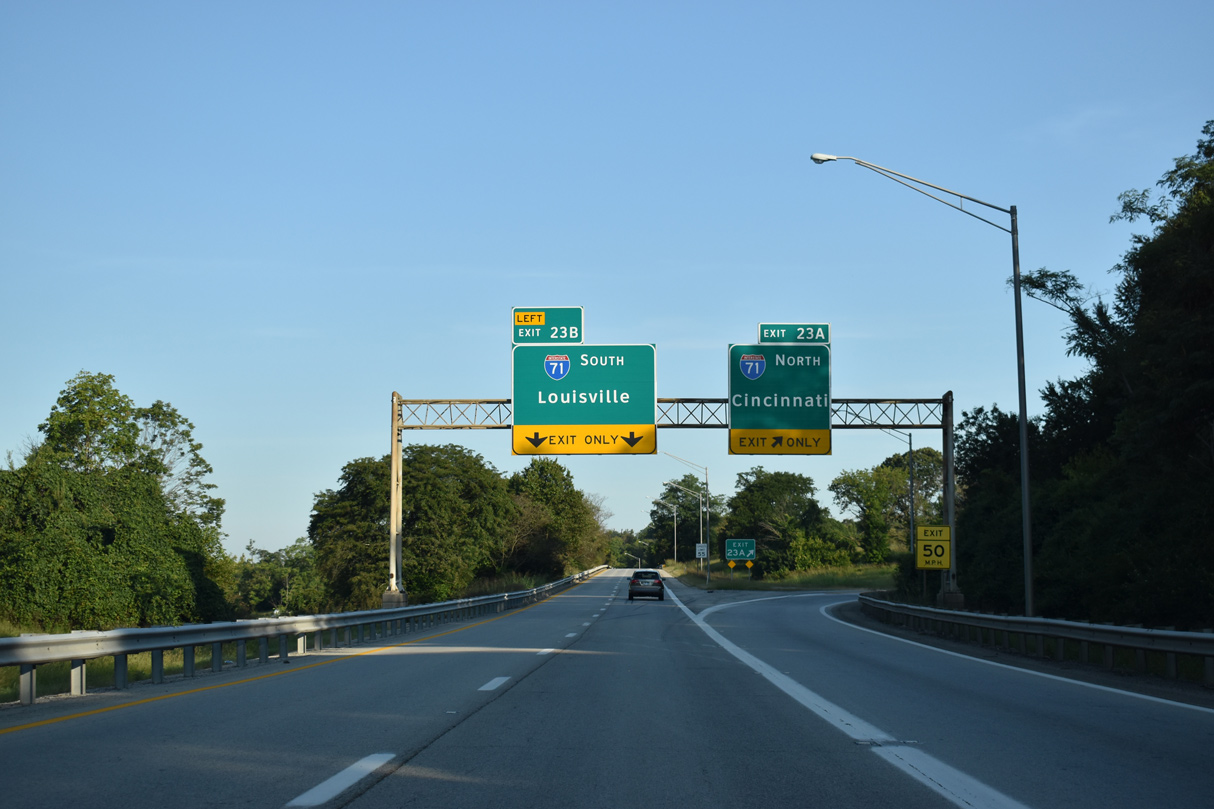
South at
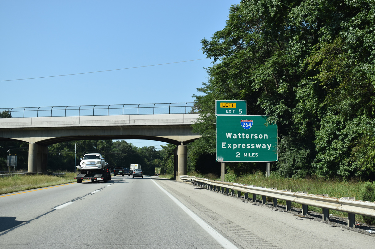
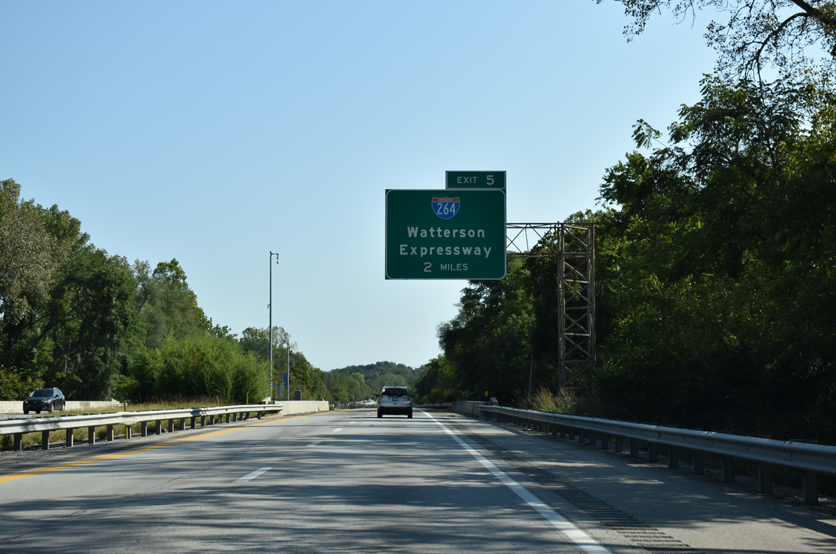
Interstate 71 weaves between a number of subdivisions and home rule-class cities including Spring Valley on the two mile approach to I-264 (Henry Watterson Expressway). 09/08/20
North at
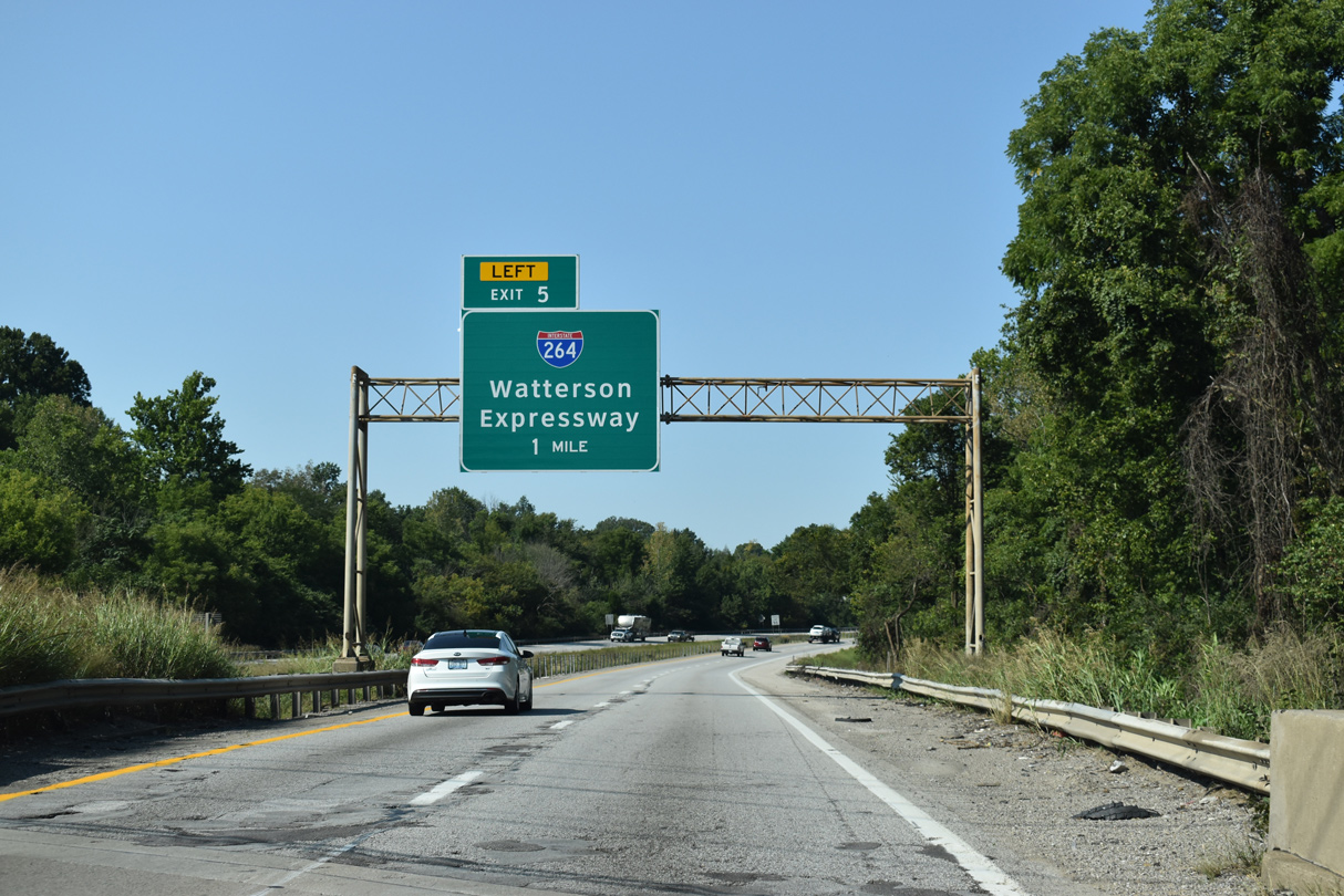
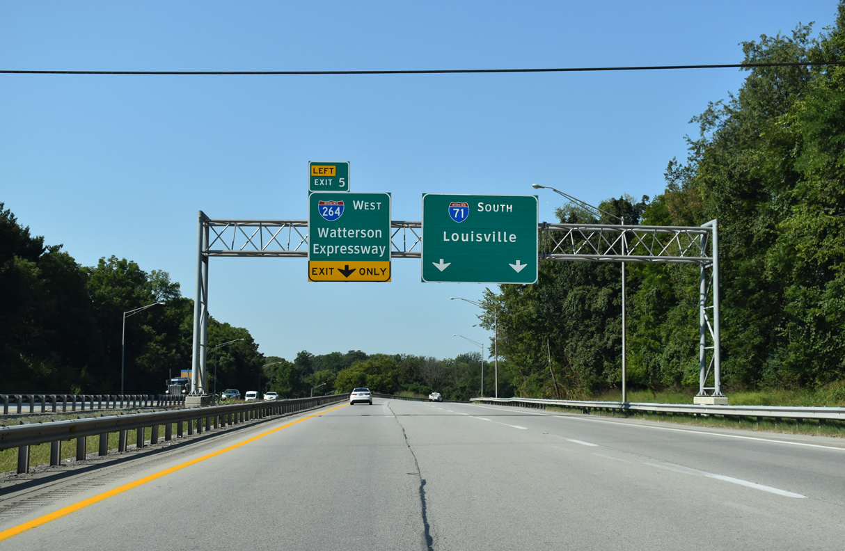
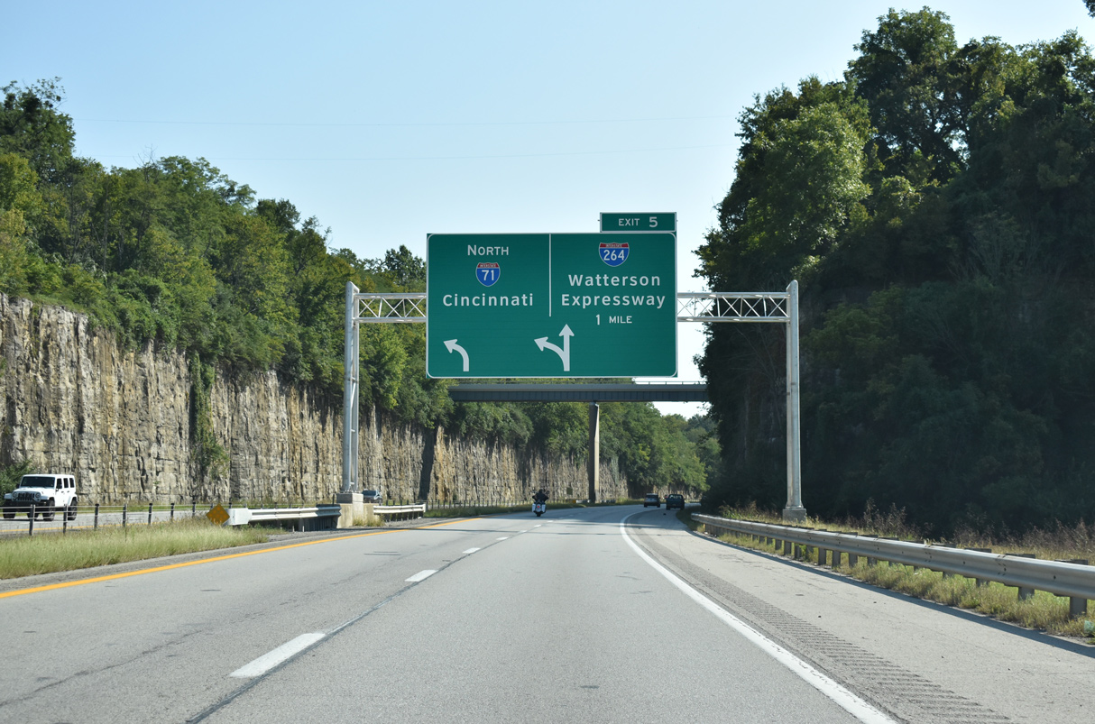
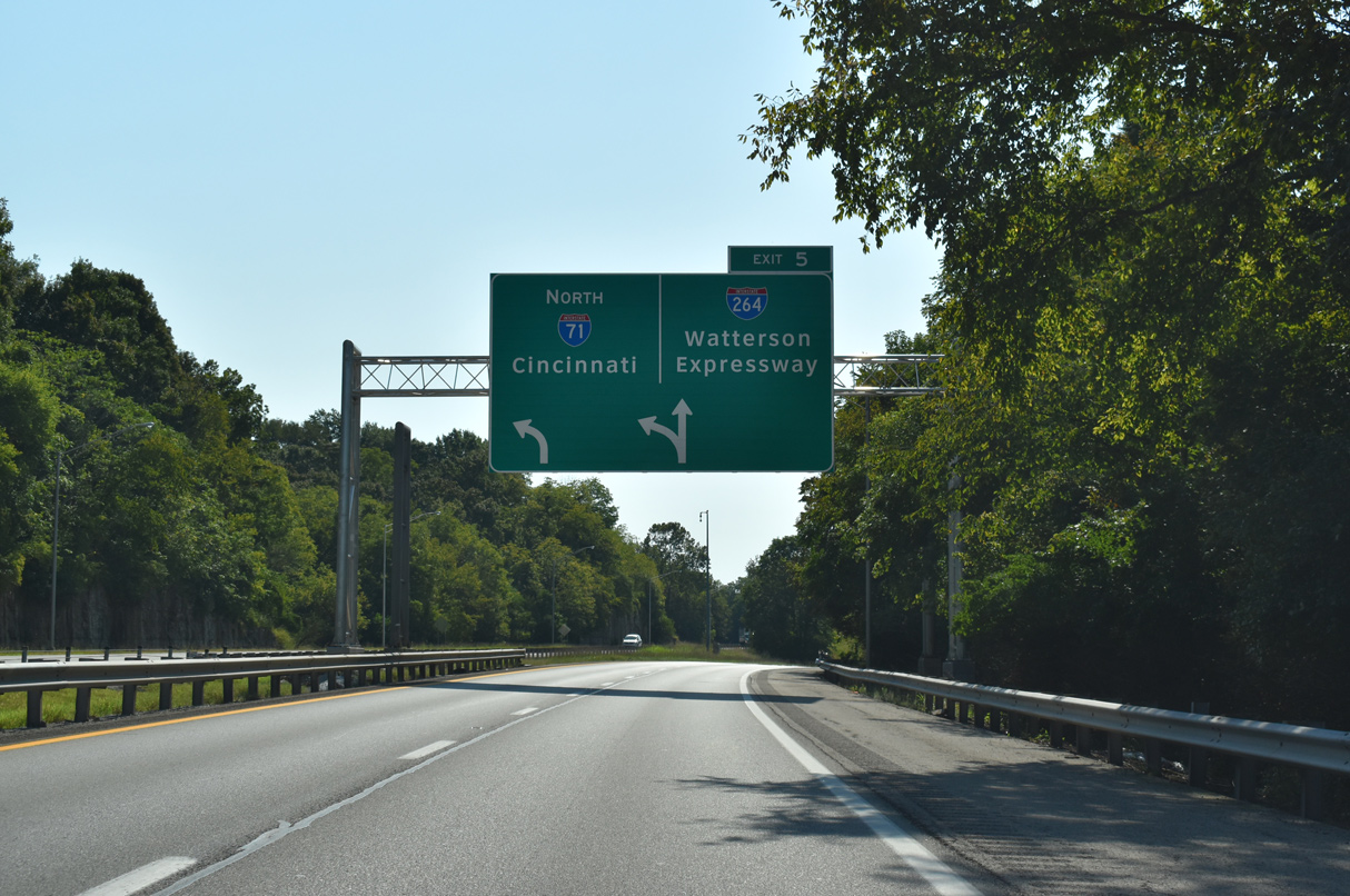
Interstate 71 curves away from the parallel Ohio River between Indian Hills and Glenview ahead of I-264 (Watterson Expressway). 09/08/20
East End – Past Views
Past Views Gallery (Tap to Expand / Collapse Section)
East at
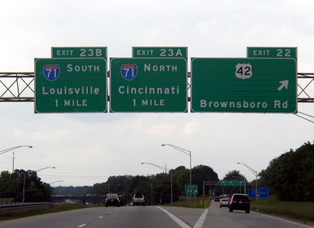
I-264 converges with U.S. 42 (Brownsboro Road) between the cities of Windy Hills, Indian Hills and Northfield one mile south of Interstate 71 (Exit 23). Photo by Chris Patriarca (05/26/03).
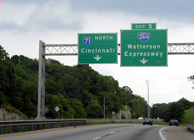
South at
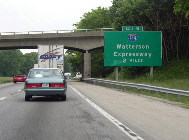
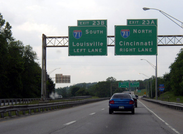
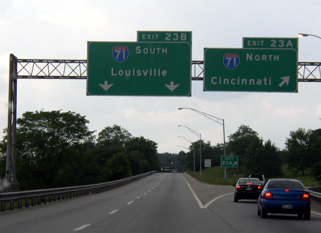
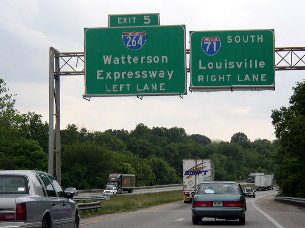
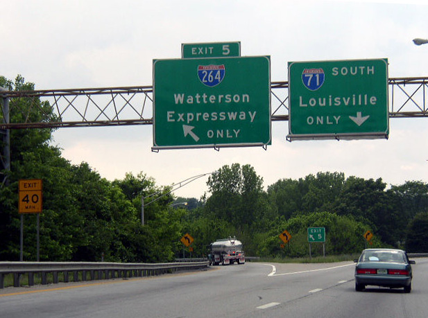
This guide sign for I-264 on I-71 south was replaced by 2007. Photo by Chris Patriarca (05/26/03).
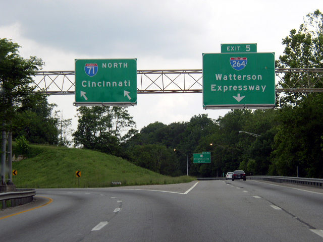
North at
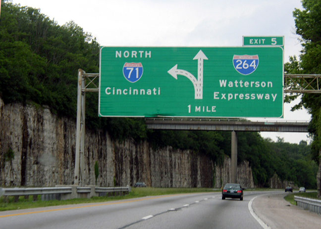
Photo by Chris Patriarca (05/26/03).
West End 
 ‐ Louisville, KY
West at
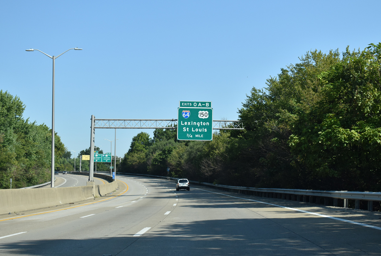
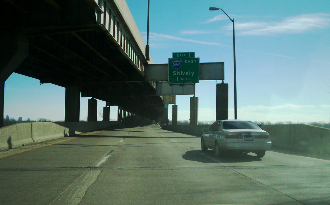
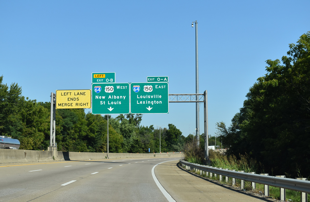
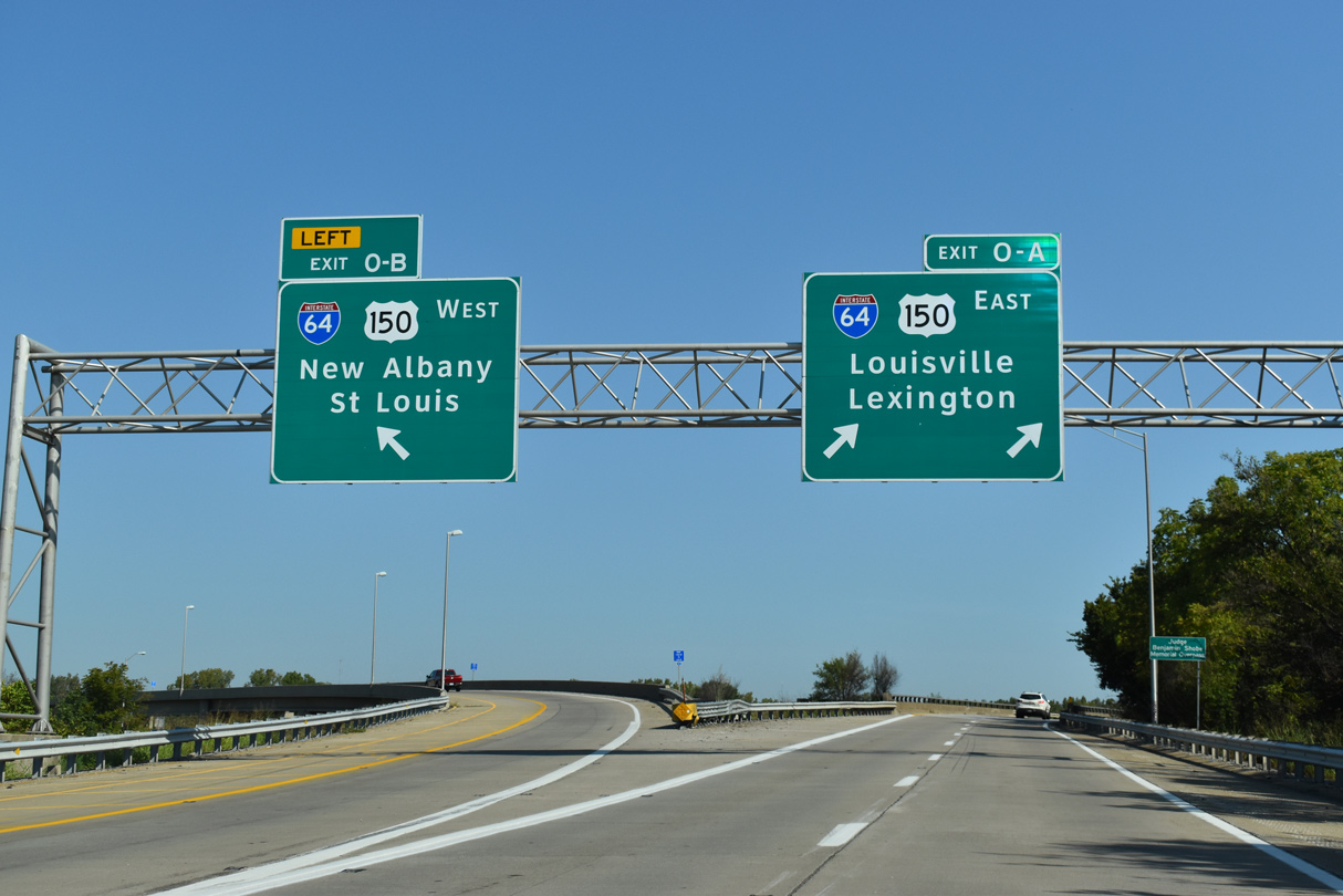
I-264 navigates through an S-curve between the Shawnee and Portland neighborhoods north to Interstate 64 and U.S. 150 at Exit 0. 09/08/20
East at
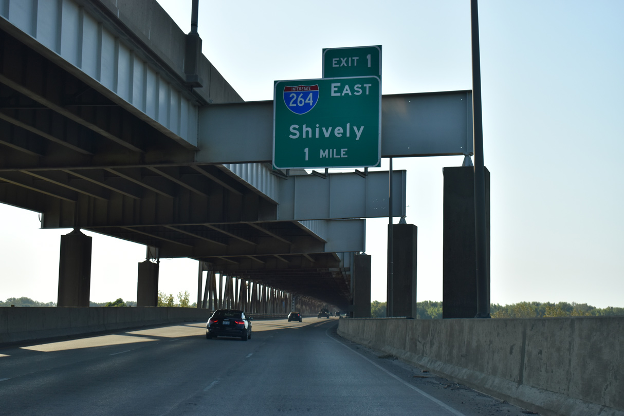
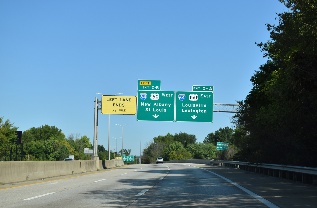
I-65/U.S. 150 cross the Ohio River on the Sherman Minton Bridge ahead of the exchange with Interstate 264 (Shawnee Expressway). Built in 1962, the double deck through arch bridge closed for four months due to emergency repairs in 2011. Starting in 2021, a $90 plus million renovation project added 30 years to the bridge life span (Courier Journal, 2018). 09/08/20
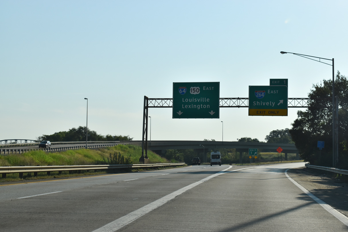
West at
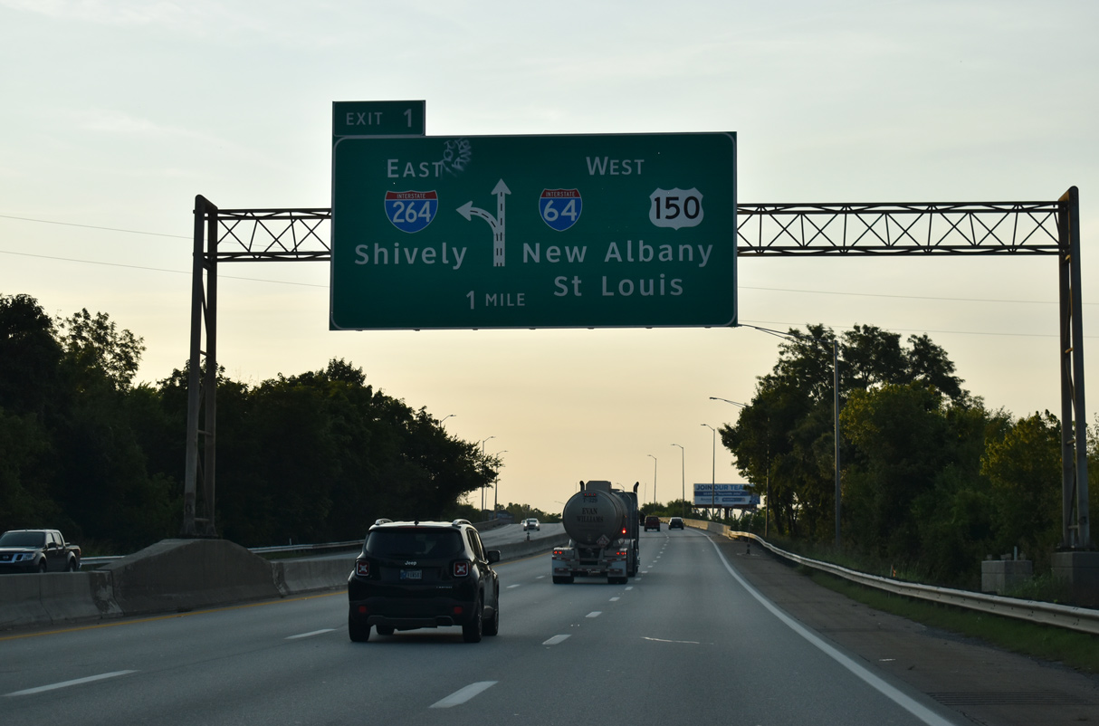
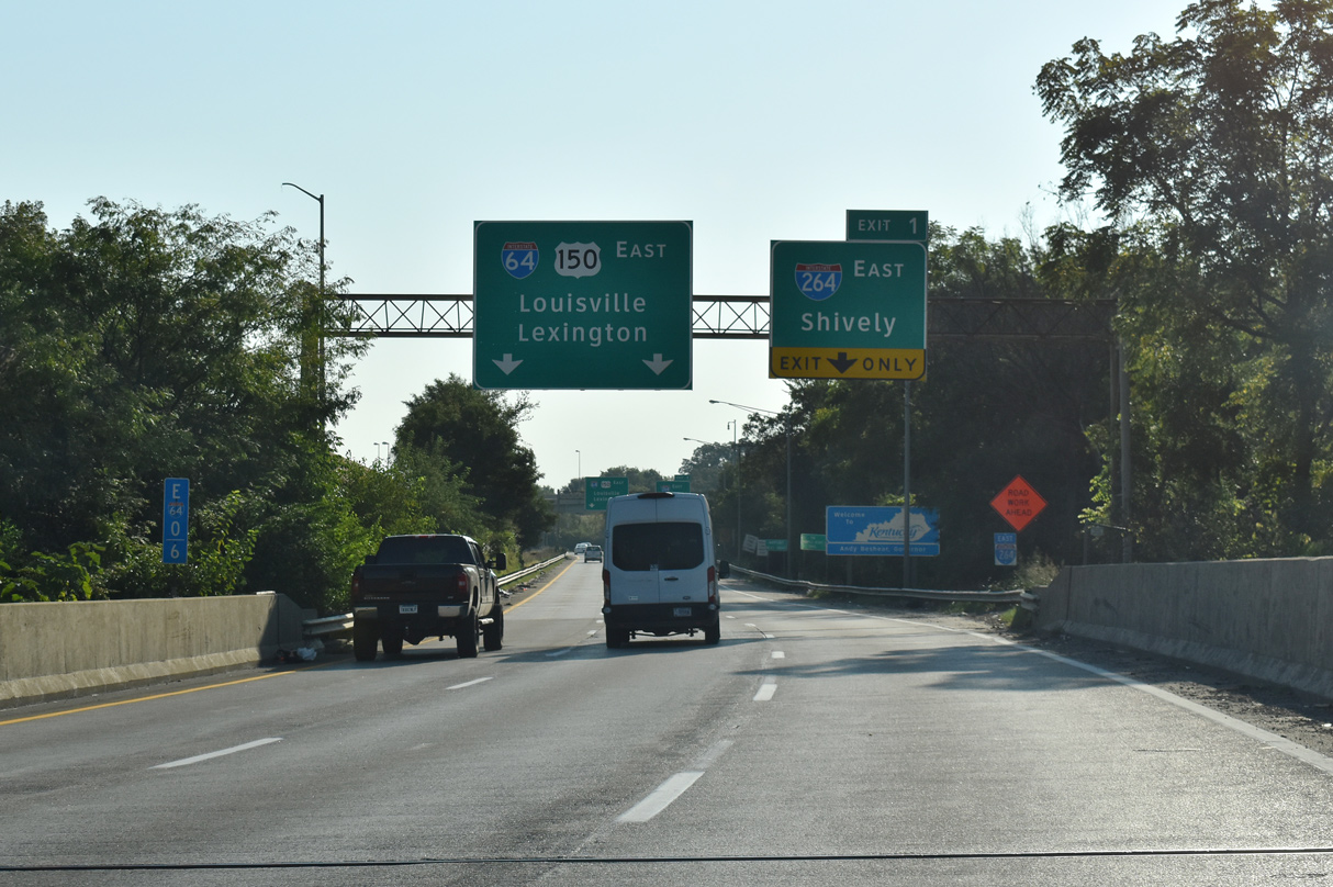
U.S. 150 leads north through the Russell and Portland neighborhoods west of Downtown Louisville to I-64 at Exit 3. U.S. 150 combines with Interstate 64 west from 22nd Street along the Ohio River to I-264 and the Sherman Minton Bridge. 09/07/20
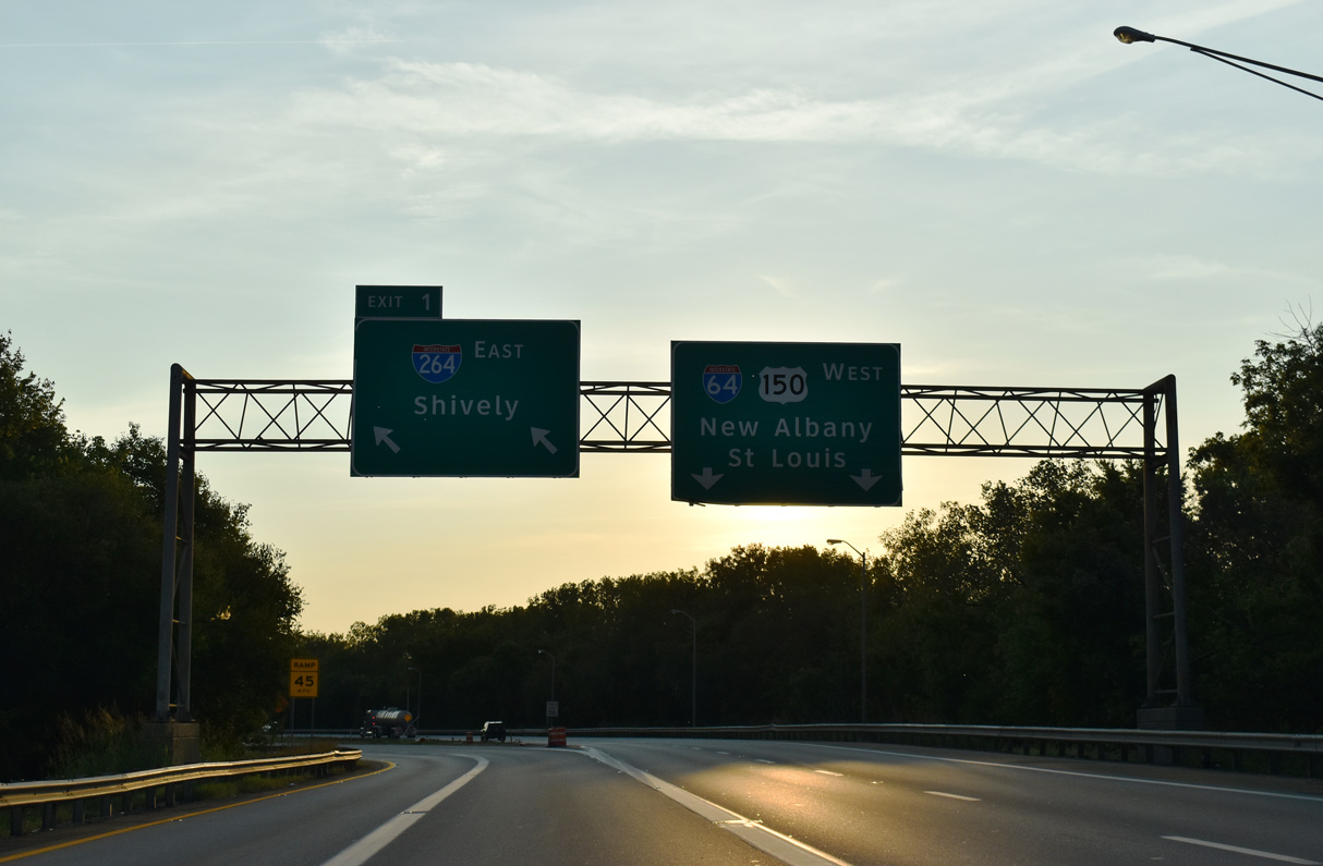
West End – Past Views
Past Views Gallery (Tap to Expand / Collapse Section)
at
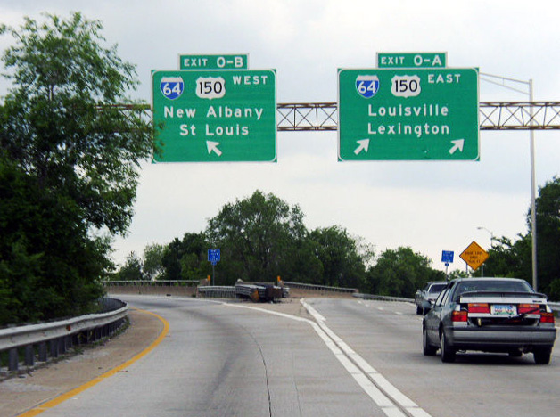
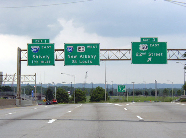
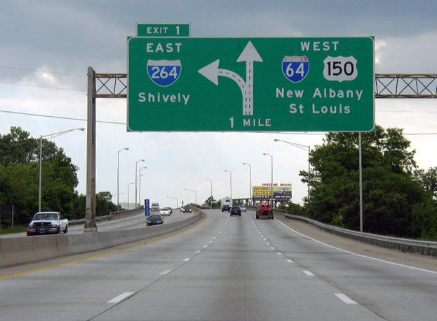
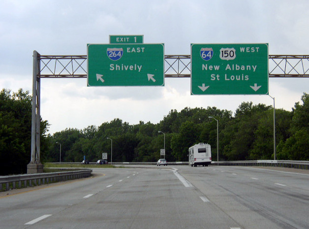
Previous overheads for I-64/U.S. 150 at the west end of Interstate 264. Photo by Chris Patriarca (05/26/03).