Interstate 210 Louisiana
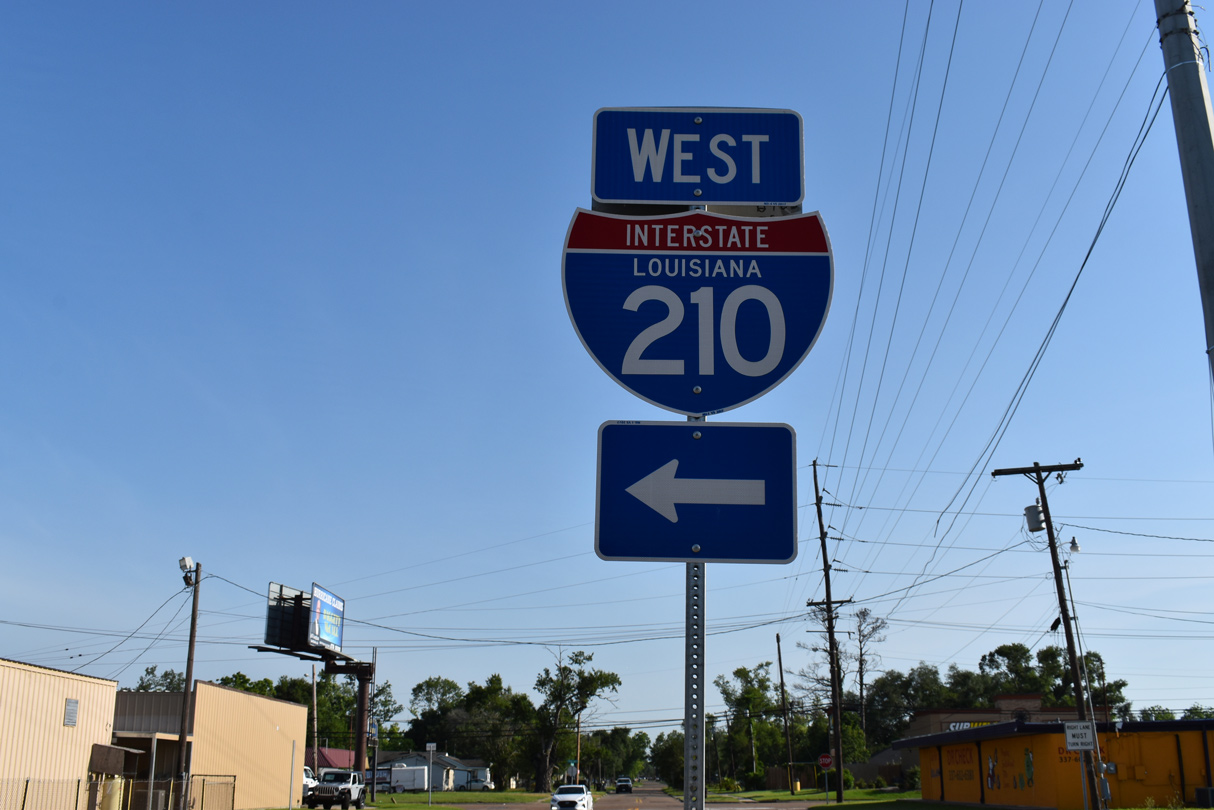
Overview
Interstate 210 in Louisiana provides a truck bypass route and an alternate to I-10 across the Lake Charles bridge west of Downtown (KPLC, 2004). Angling southeast from I-10, the freeway spans Prien Lake along the Calcasieu River over a 8,500 foot long girder bridge. Built in 1964, the four lane span rises to a height of 125 feet (Baughn, n.d.).
Mileage by State
| Louisiana | 12.40 mi |
Data Sources
December 31, 2021 Interstate Route Log and Finders List
History
The Lake Charles Loop was part of the urban Interstate numerology submitted to the American Association of State Highway Officials (AASHO) by the Louisiana Department of Highways on March 27, 1958. The route was numbered A20 as part of a sequence with B20 for Baton Rouge and C20 for New Orleans. The numbering system changed to I-210 for Lake Charles, I-410 for Baton Rouge and I-610 for New Orleans per instructions from AASHO on July 2, 1958. All were approved by AASHO on November 10, 1958.
Spearheaded by Lake Charles city councilman Isreal LaFleur in the 1950s, Interstate 210 was completed in 1977 (KPLC, 2004).
East End  ‐ Lake Charles, LA
 East at
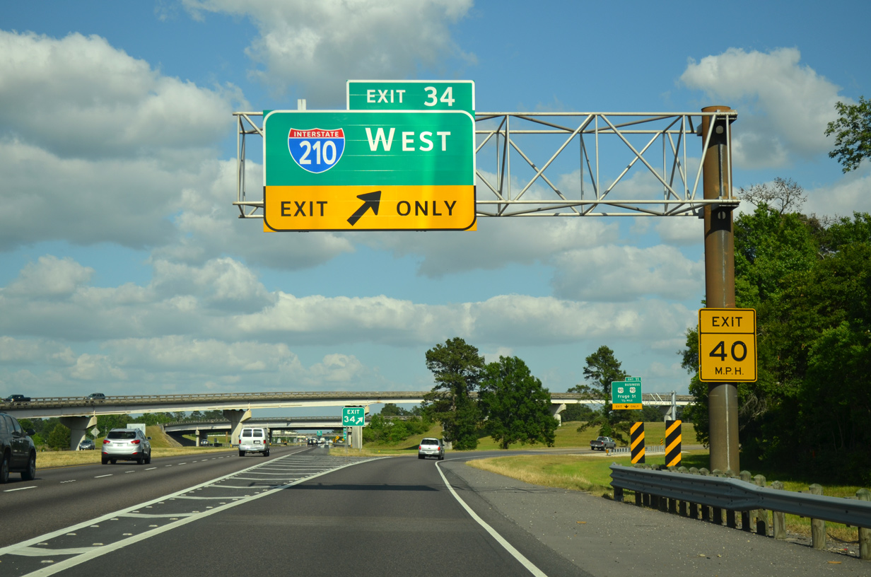
A split diamond interchange joins Interstate 210 with U.S. 90 Business (Broad Street) and U.S. 90 (Frugue Street) to the immediate south of I-10. 05/11/22
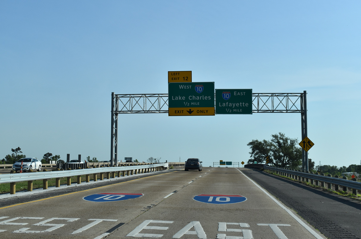
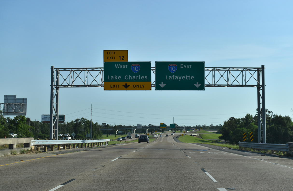
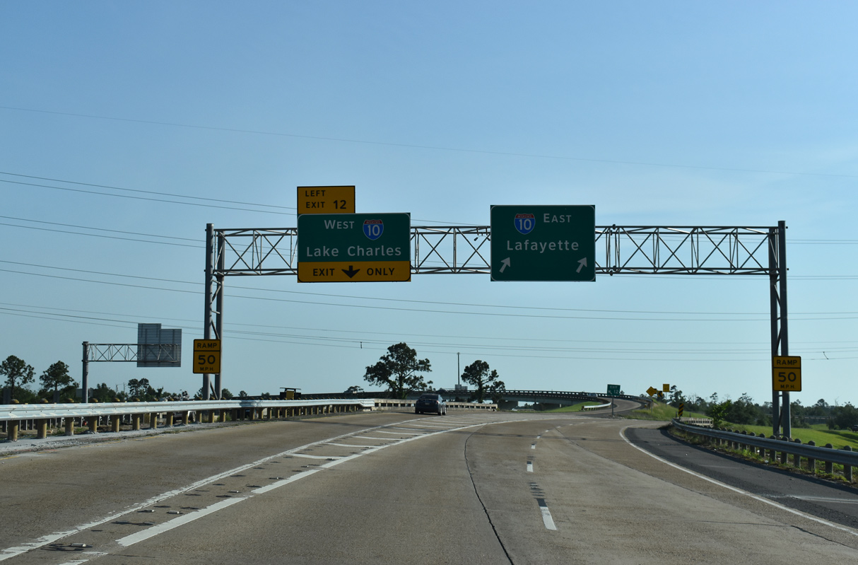
West at
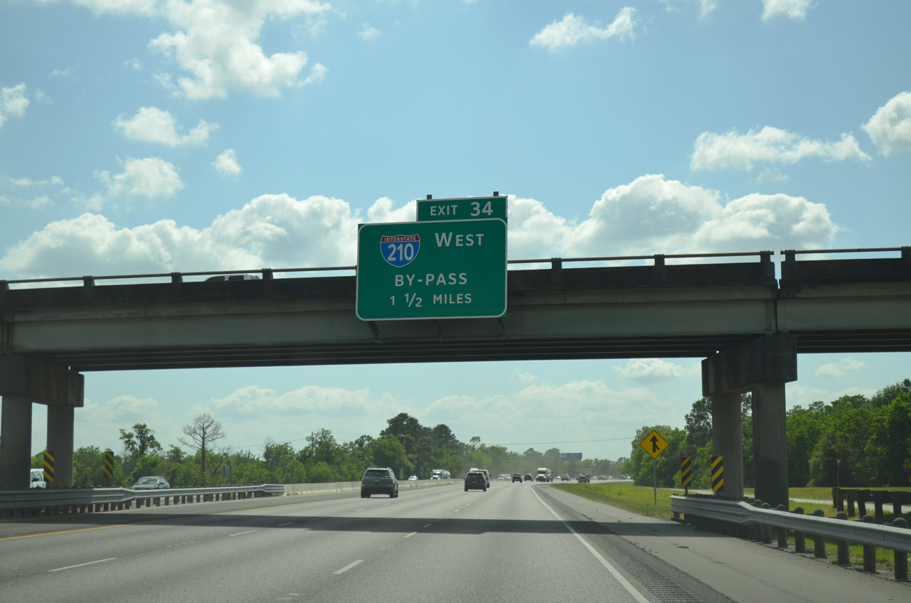
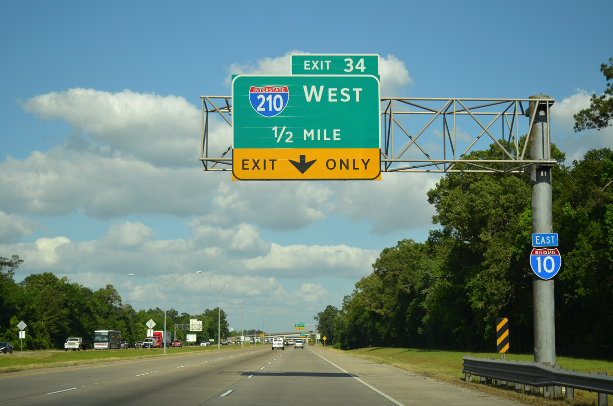
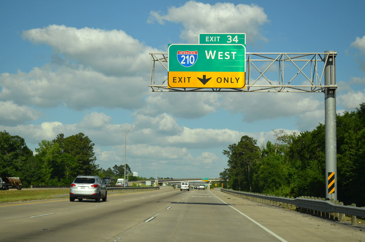
Interstate 10 travels 1.5 miles west from a parclo interchange (Exit 36) with LA 397 to the Lake Charles Bypass. 05/19/14
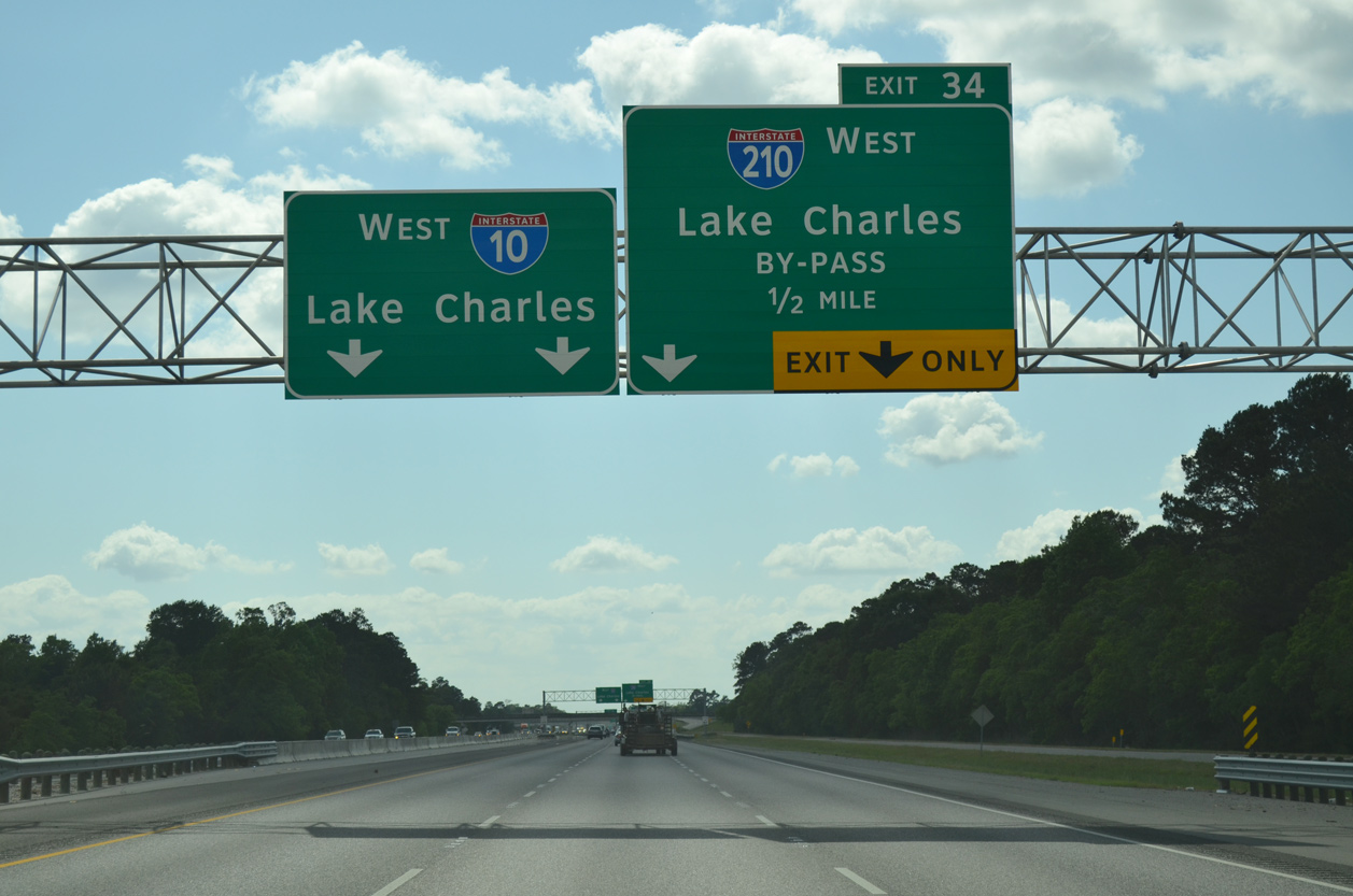
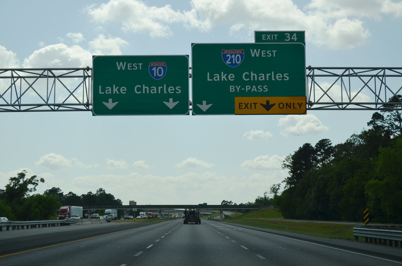
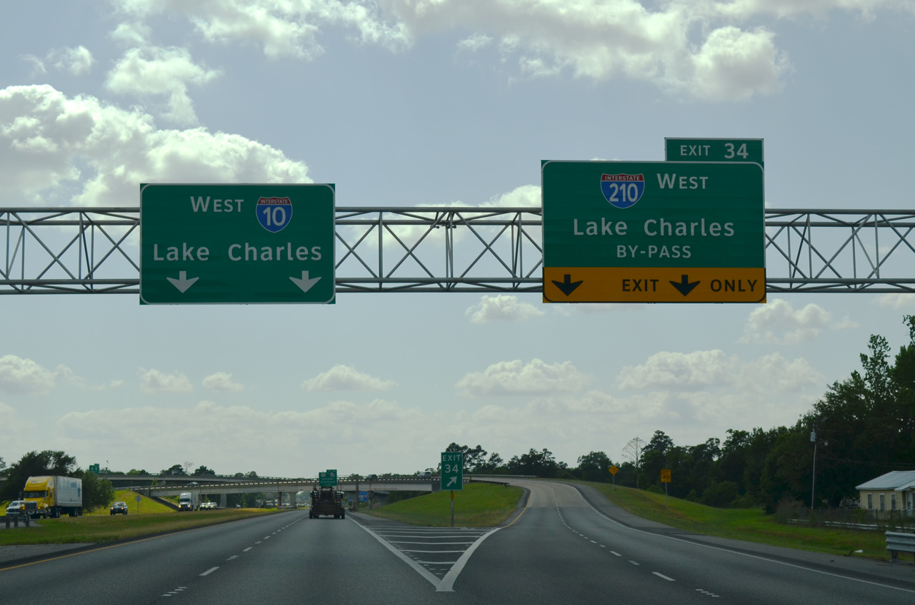
East at
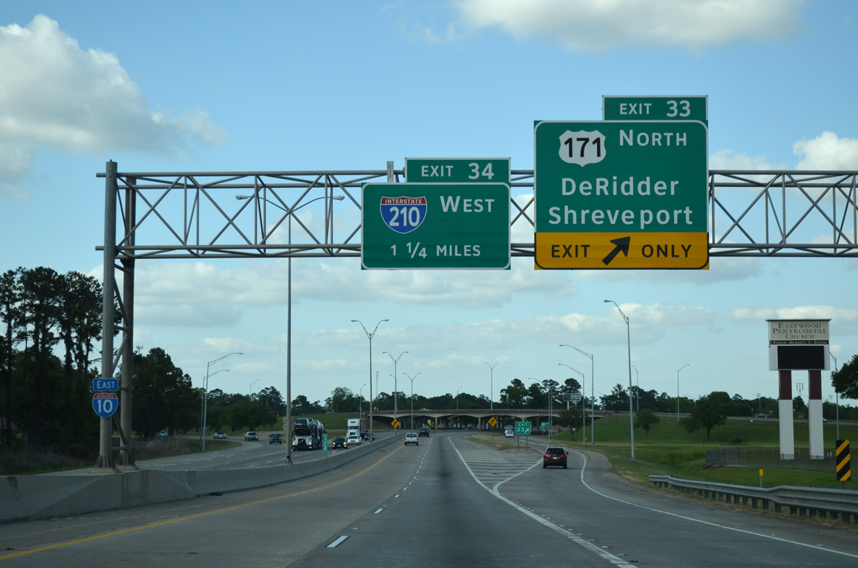
U.S. 171 stems north from U.S. 90 (Frugue Street) to cross paths with Interstate 10 one mile west of I-210. U.S. 171 travels north from Lake Charles to DeRidder and Leesville. 05/19/14
East End – Past Views
Past Views Gallery (Tap to Expand / Collapse Section)
at
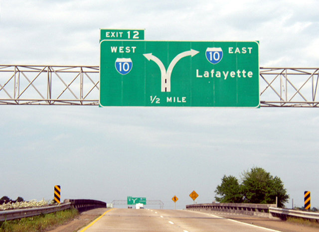
Replaced sign bridges on I-210 east at I-10 along the east side of Lake Charles. Photo by Chris Patriarca (04/08/03).
West End ‐ Sulphur, LA
West at
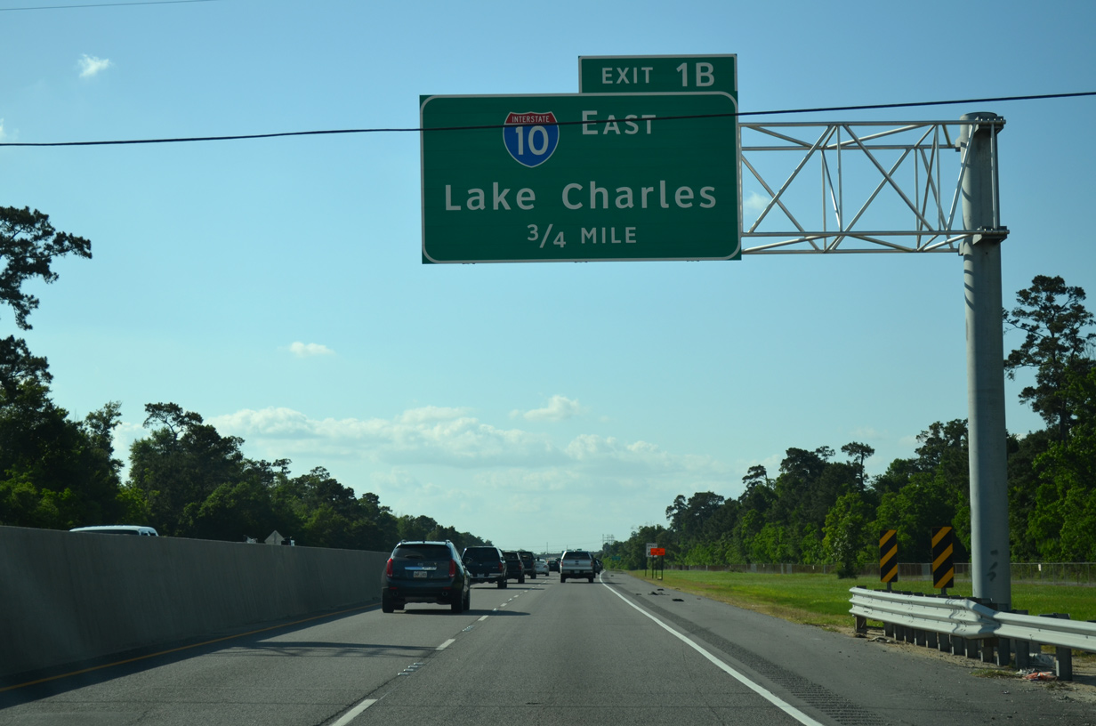
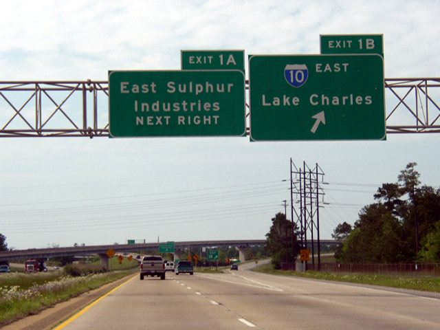
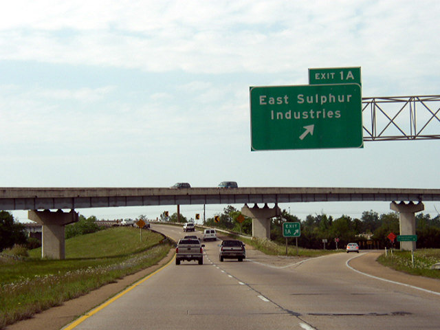
I-210 bee lines northwest from the high level bridge over Prien Lake to Interstate 10 in east Sulphur. 05/19/14
East at
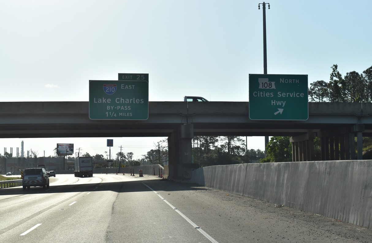
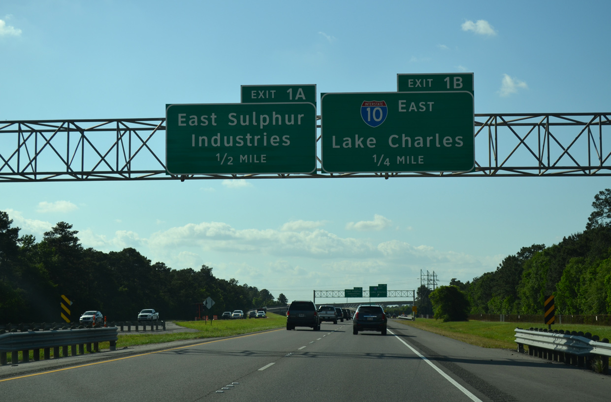
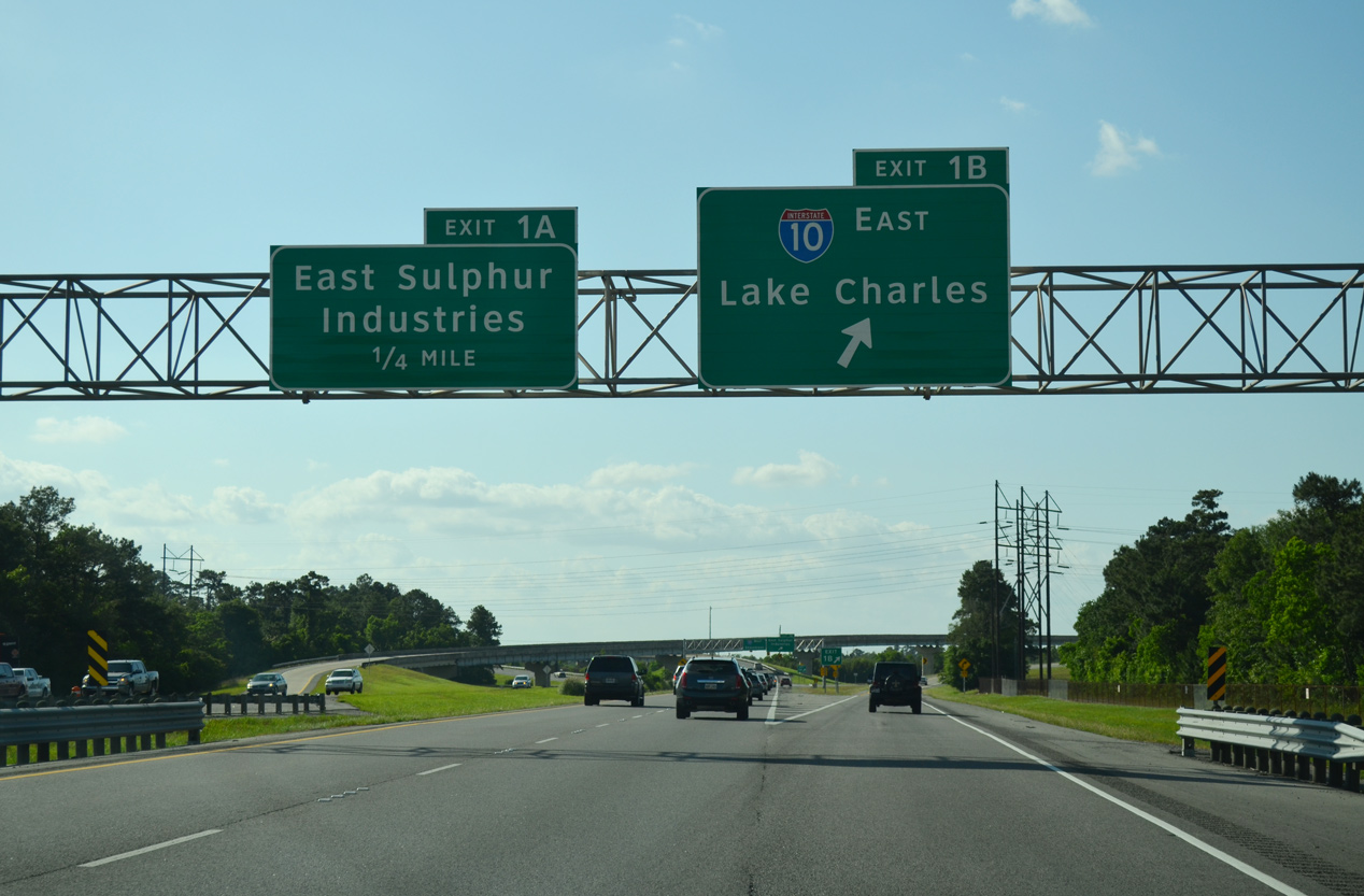
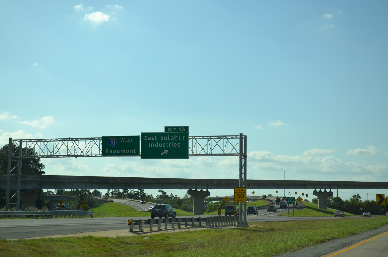
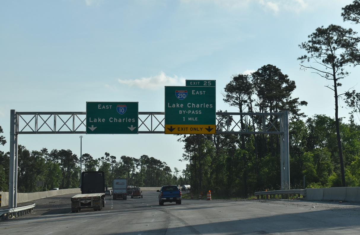
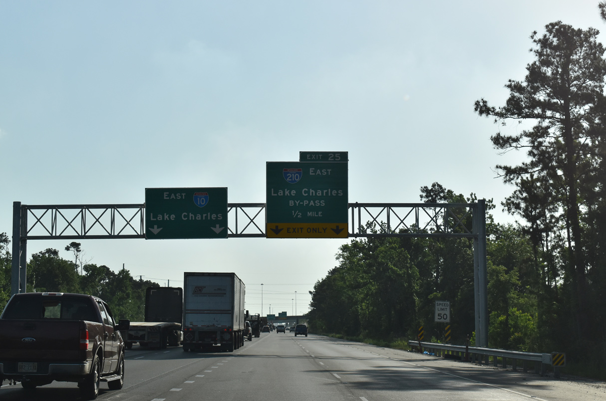
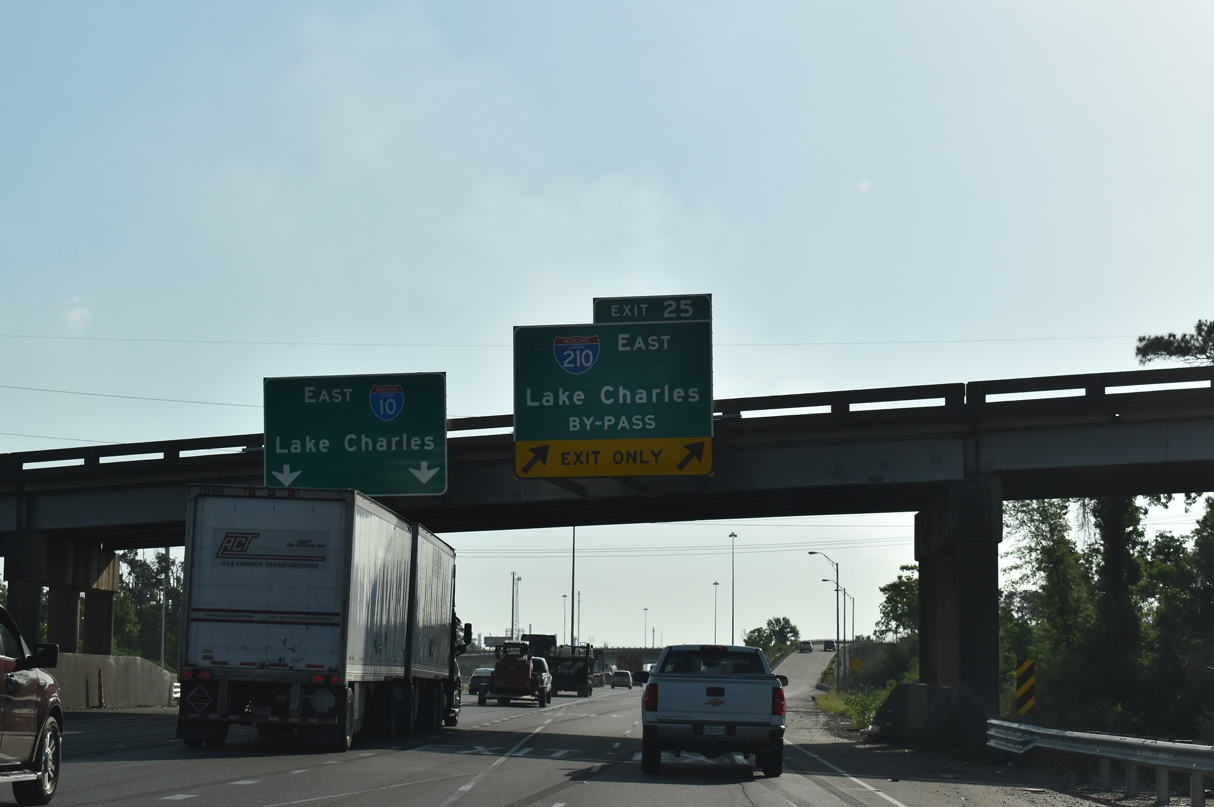
I-10 travels east through the city of Sulphur and splits with I-210 a mile beyond the cloverleaf interchange (Exit 23) with LA 108. 05/11/22
West at
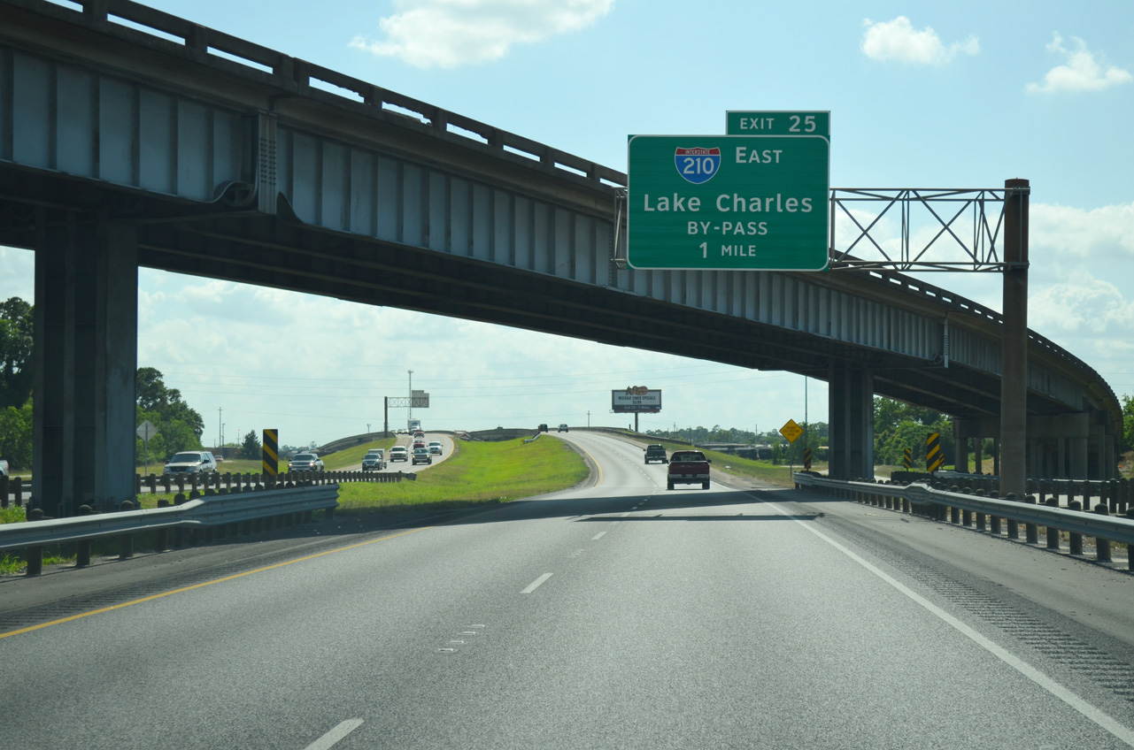
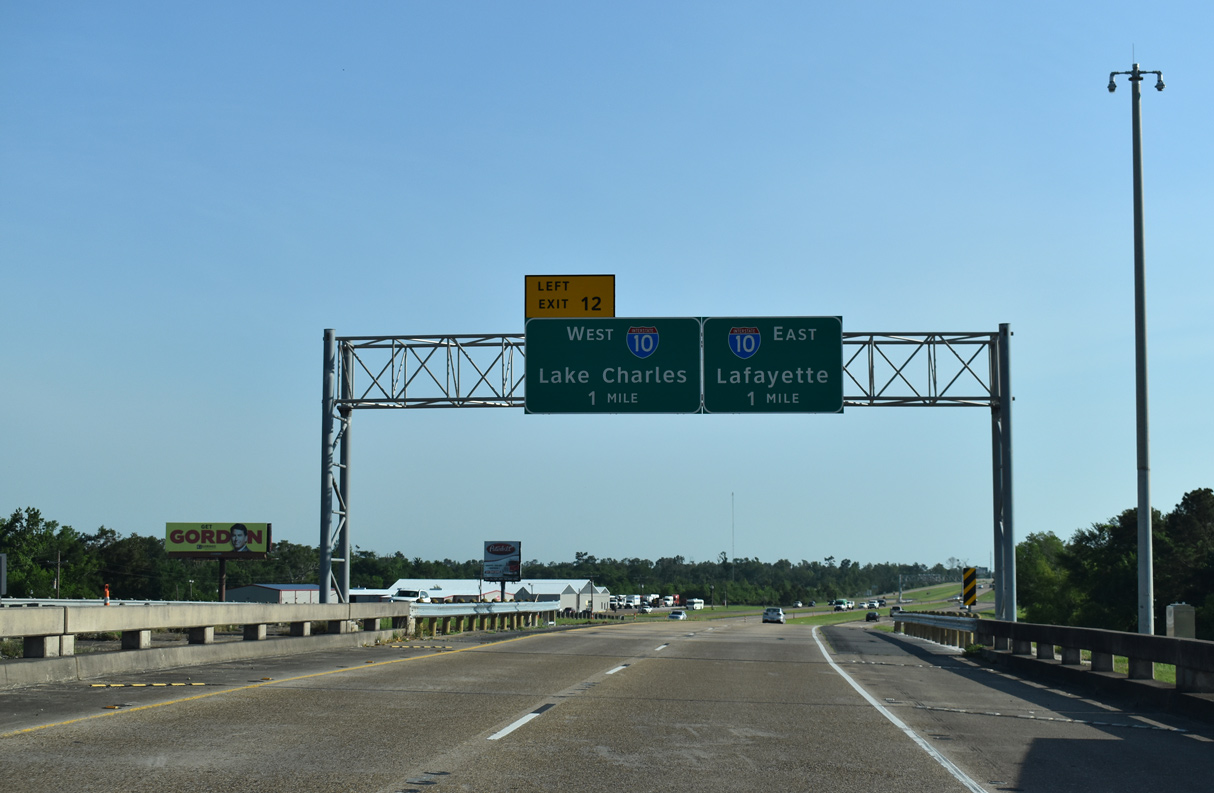
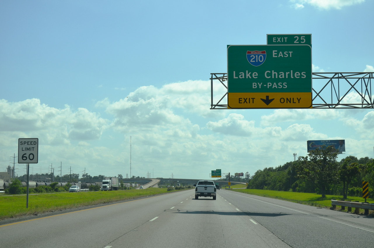
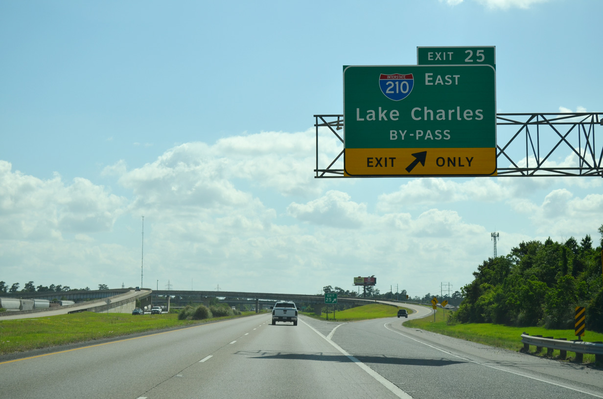
I-10 trends southward from the split with U.S. 90 near Westlake one mile to Interstate 210. 05/19/14
West End – Past Views
Past Views Gallery (Tap to Expand / Collapse Section)
at
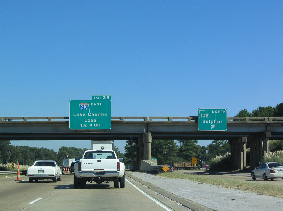
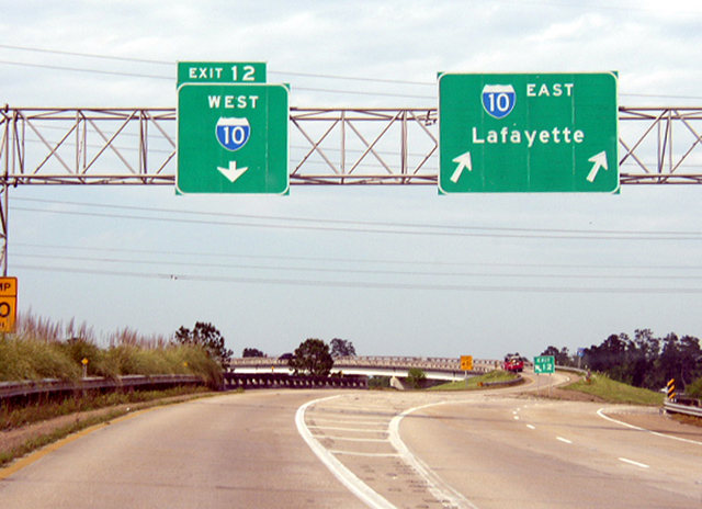
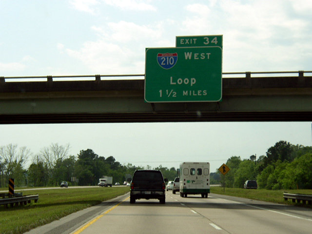
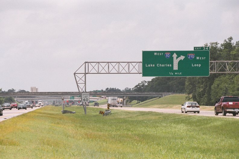
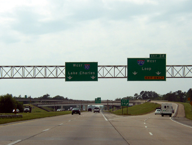
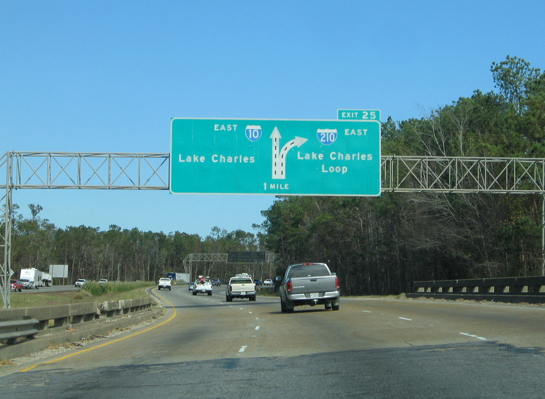
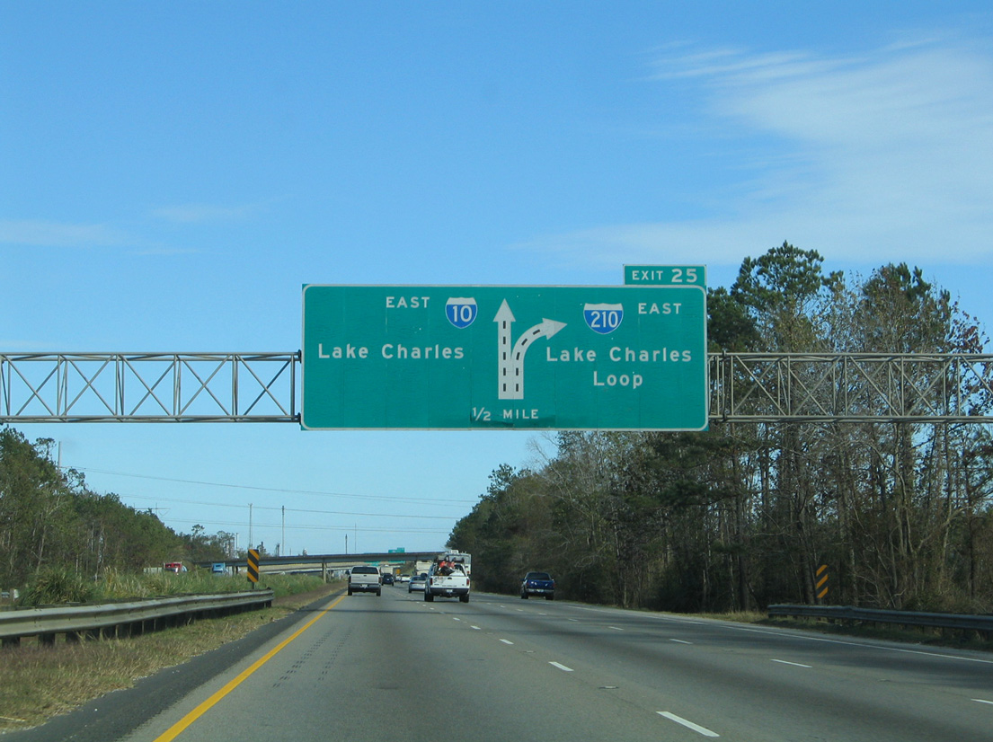
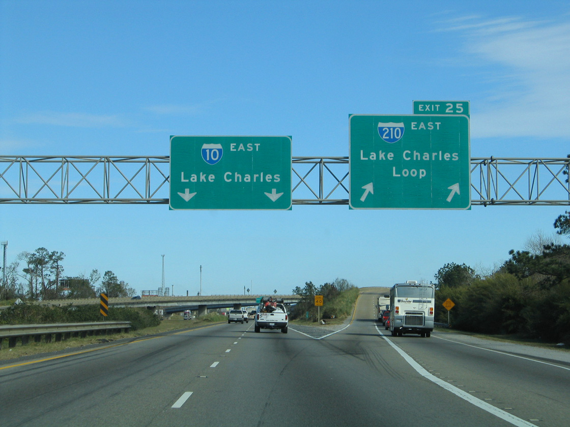
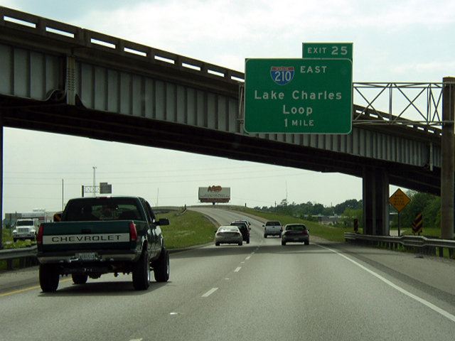
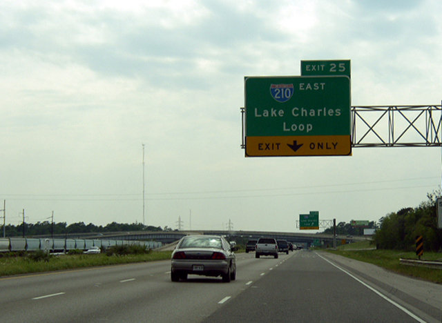
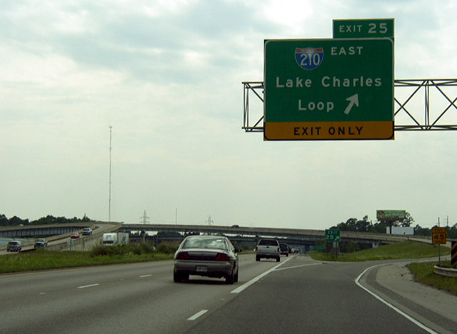
Previous guide signs for Interstate 210 along I-10 referenced the freeway as the Lake Charles Loop. 10/22/03
West at
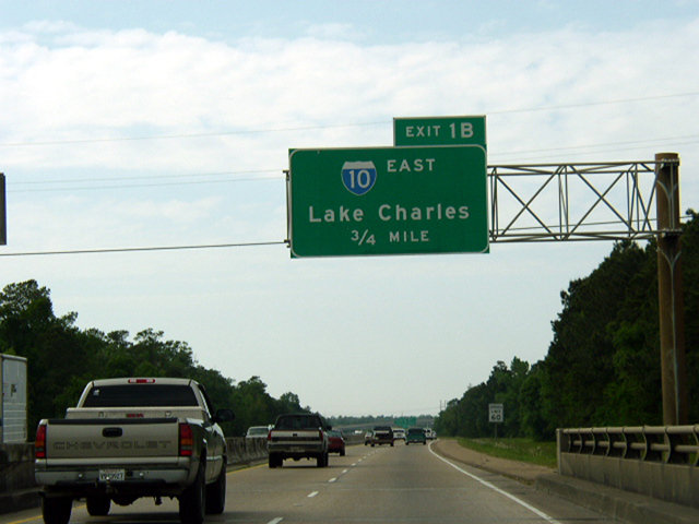
Previous guide signs for the west end of I-210 at Sulphur. Photo by Chris Patriarca (04/08/03).