
Interstate 195 Maine
Overview
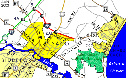
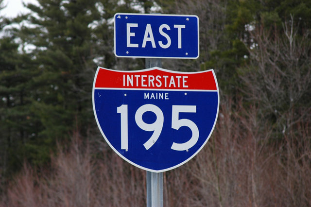
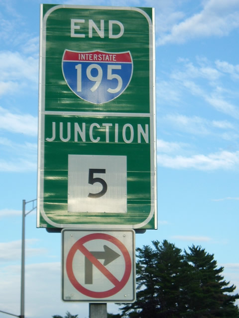
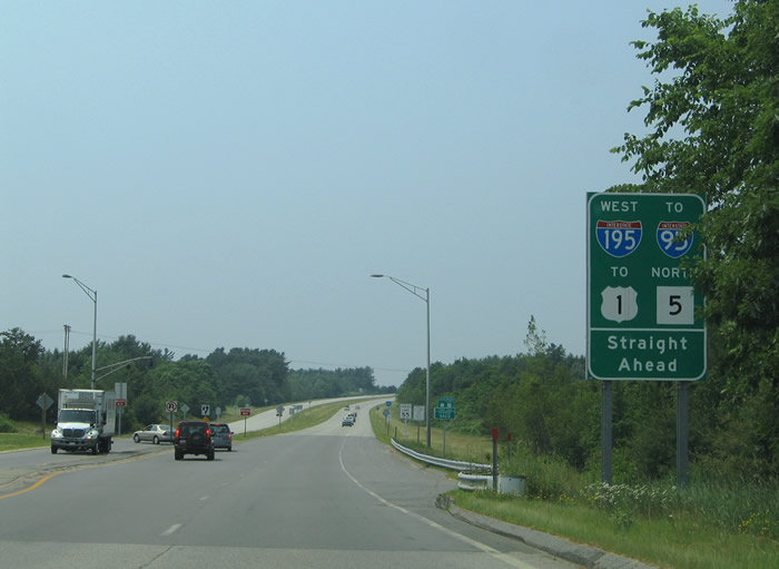
Interstate 195, the Saco Industrial Spur, is a 1.60 mile1 long route leading east from I-95 (Maine Turnpike) across Goosefare Hill to U.S. 1 (Main Street) in the city of Saco. While officially ending at the exchange with U.S. 1 at Exit 2, the freeway extends east from Main Street as I-195 to Goosefare Brook, the dividing line between Saco and the town of Old Orchard Beach. Route 5 eastbound overtakes the ending freeway along Ocean Park Road to Saco Avenue through Old Orchard Beach. Route 5 westbound utilizes the freeway to connect with U.S. 1 for their shared alignment south to the Saco city center.
Mileage by State
| Maine | 1.57 mi |
Data Sources
MaineDOT Map Viewer. https://www1.maine.gov/mdot/mapviewer/
History
When the Interstate system was first laid out, the Maine State Highway Commission assigned Route A-95 for I-195, Route B-95 for I-295 and Route C-95 for I-95. Designated I-195, the Saco Industrial Spur was included in the proposed urban Interstate numerology plans for Maine approved by the American Association of State Highway Officials (AASHO) on November 10, 1958.
Interstate 195 remained a proposed route until 1980, when construction finally broke ground on the freeway. The spur opened initially from Industrial Park Road (Exit 1) east to U.S. 1 (Exit 2) in 1982. This included the 0.87 mile long freeway extension (inventoried by MaineDOT as Route 5195S) east to Route 5 (Ocean Park Road). The remaining half mile link to the Maine Turnpike opened in 1983.2,3
East End  ‐ Saco, ME
 East at
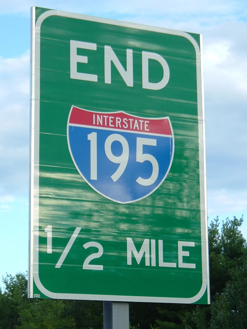
National Highway System mileage for Interstate 195 ends at the exchange with U.S. 1 (Exit 2). The freeway however continues another 0.87 miles to end at Route 5 (Ocean Park Road). Photo by Sheila Schumacher (08/31/04).
West at
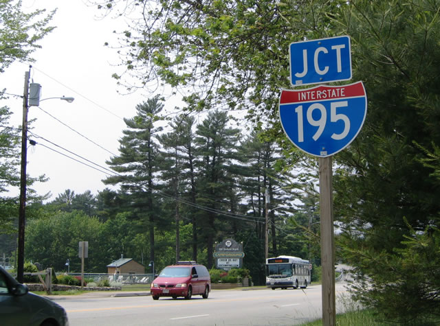
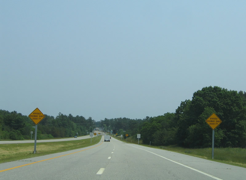
Route 5 (Ocean Park Road) upgrades into Interstate 195 just beyond Reserve Avenue at the Saco city line. 06/27/05
West End 
 ‐ Saco, ME
West at
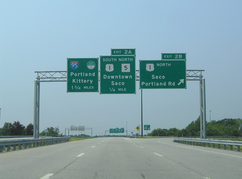
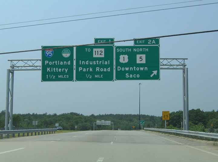
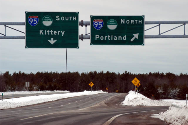
Interstate 195 west and Route 5 split at the three quarter cloverleaf interchange (Exits 2B/A) with U.S. 1 (Main Street). I-195 continues another 1.75 miles to the Maine Turnpike. 06/27/05
North at
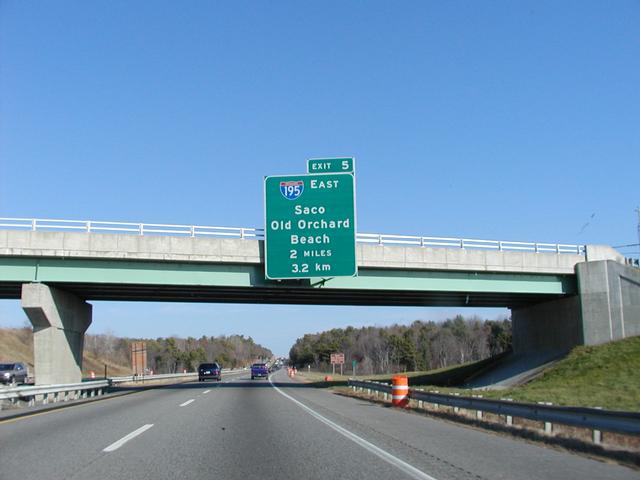
Route 5 (New County Road) spans Interstate 95 (Maine Turnpike) two miles south of the trumpet interchange (Exit 5) with Interstate 195 east. Route 5 dog legs east along Bradley and Spring Streets and an overlap with Route 112 to connect with U.S. 1 (Main Street) north to I-195. Photo by Jim Teresco (11/18/01).
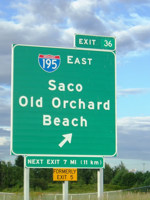
South at
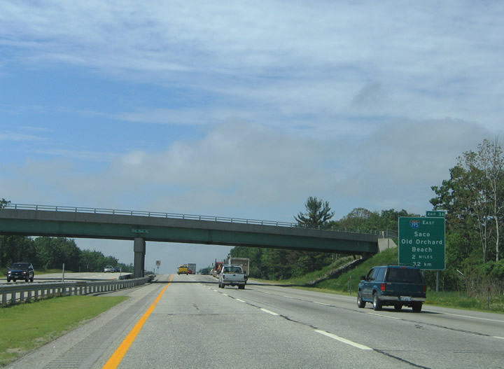
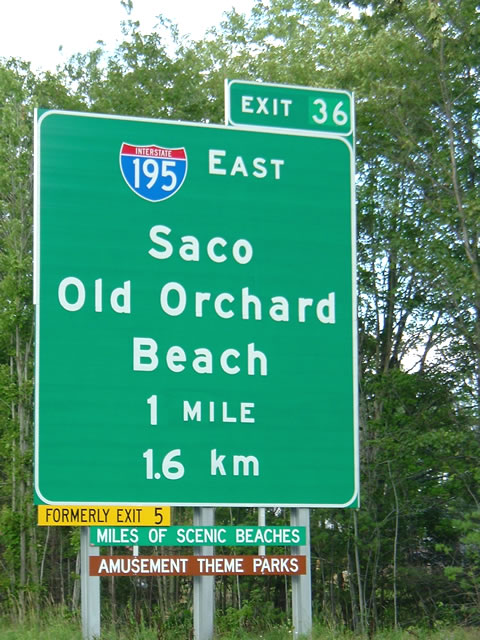
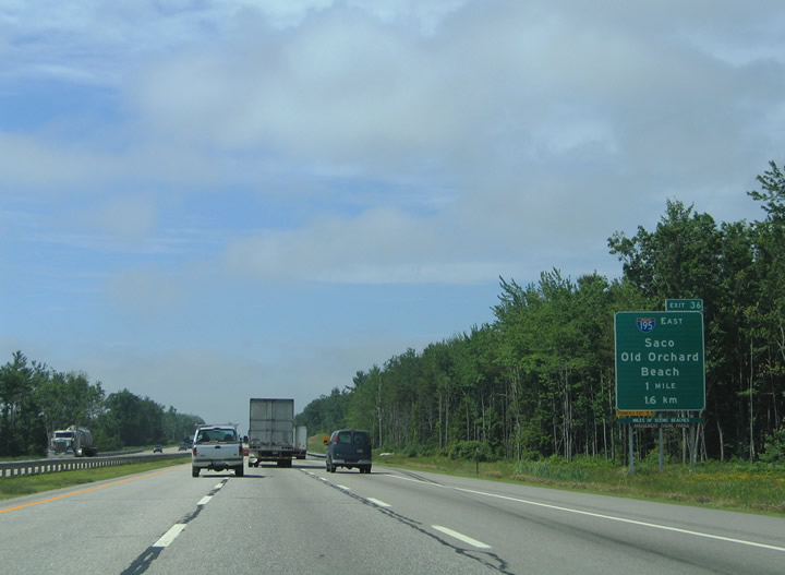
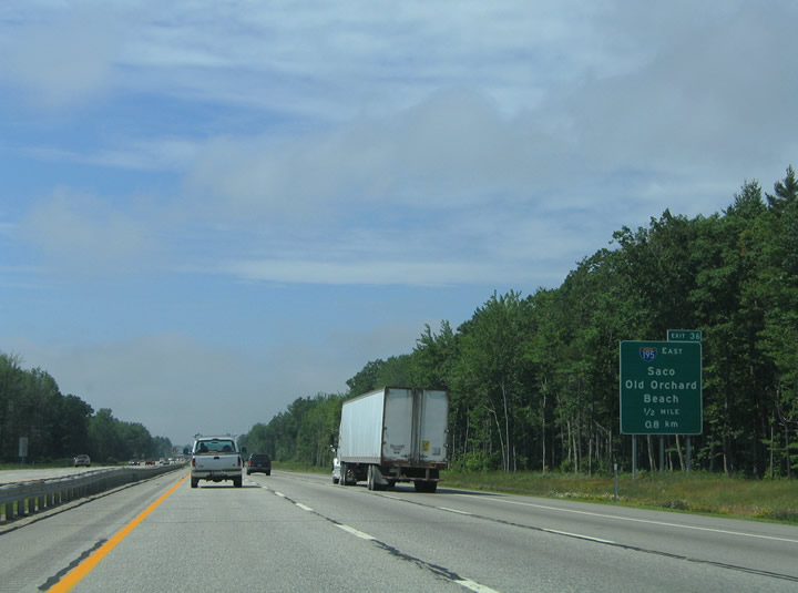
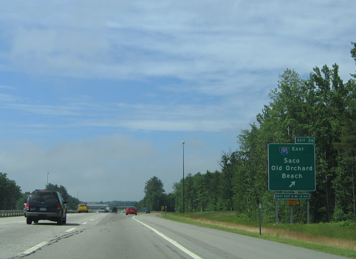
Two miles north of Interstate 195 (Exit 36) along the Maine Turnpike southbound at the Flag Pond Road overpass. The ensuing stretch runs between Saco Industrial Park and wetland areas east of The Heath. 06/28/05
References
- Distance of Route 0195 measured in the MaineDOT Public Map Viewer. Retrieved from https://www.maine.gov/mdot/mapviewer/
- Anderson, S. (n.d.). Saco Industrial Spur (I-195). BostonRoads.com. Retrieved from http://www.bostonroads.com/roads/I-195_ME/
- Maine Department of Transportation. Maine's Interstate System: An Investment in Safety, Mobility, and Prosperity. Retrieved from http://www.state.me.us/mdot/interstate/index.php