
Interstate 195 Florida
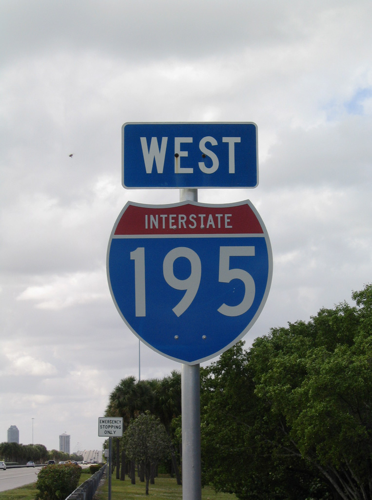
Overview
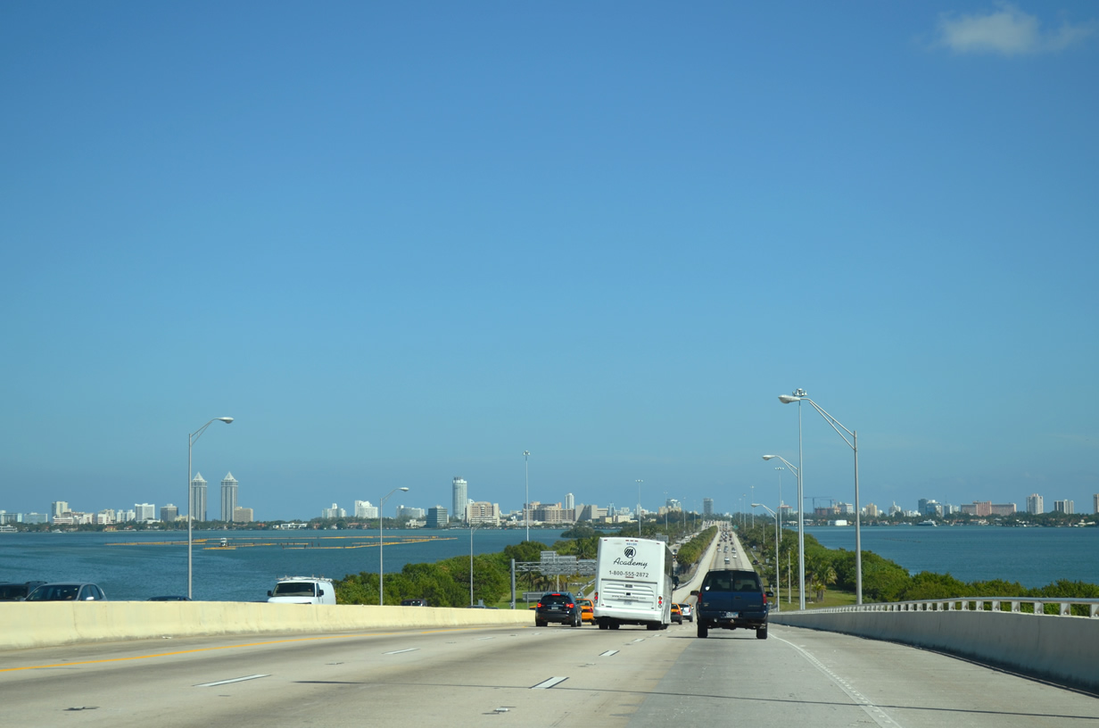
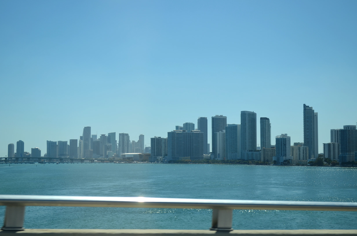
Interstate 195 is a freeway spur linking Midtown Miami with Mid Beach in Miami Beach via Julia Tuttle Causeway. Julia Tuttle Causeway provides part of a direct route between Miami Beach and Miami International Airport (MIA) in conjunction with the tolled Airport Expressway (SR 112 west to SR 953). The freeway also provides one of three hurricane evacuation routes from Miami Beach.
Interstate 195 extends SR 112 east from the 36th Street Interchange joining I-95 with the Airport Expressway at the Buena Vista and Wynwood neighborhoods in Miami. Julia Tuttle Causeway spans the Intracoastal Waterway and Biscayne Bay eastward to SR 907A (Alton Road) at Bayshore and Nautilus in Miami Beach. SR 112 emerges east from an unmarked overlap with I-195 along W 41st Street (Arthur Godfrey Road) to the one way couplet of SR A1A (Collins Avenue north / Indian Creek Drive south).
Mileage by State
| Florida | 4.42 mi |
Data Sources
December 31, 2021 Interstate Route Log and Finders List
History
I-195 was one of three proposed urban branch Interstates submitted from the Florida State Road Department to the American Association of State Highway Officials (AASHO) on August 8, 1958. I-195 was assigned to the Bayshore Connector; I-395 was the designation for the spur between Miami and Miami Beach. A subsequent letter to AASHO on June 11, 1959 from the State Road Department revised the route numbers for Miami. The Bayshore Connector was dropped and I-395 renumbered as I-195. The Bayshore Connector was the predecessor to the Downtown Distributor (Florida State Road 970).
Initial construction for the freeway linking Miami and Miami Beach at the Bayshore neighborhood began in October 1957 along the 36th Street (Julia Tuttle) Causeway across Biscayne Bay.1 Opening to motorists on December 12, 1959 and costing nearly $14 million to build,2 Julia Tuttle Causeway was the first link completed in the original Miami expressway system.3 It connected Alton Road (SR 907) on Miami Beach with U.S. 1 (Biscayne Boulevard) at Midtown Miami via NE 36th and NE 38th Streets. Named after the early Miami pioneer, Julia Tuttle Causeway consists of two spans over Biscayne Bay: the 2,150 foot long high rise bridge across the Intracoastal Waterway and the 1,138 foot long east channel bridge. A six-lane causeway joins the two spans.
Work on the final segment of I-195, between Biscayne Boulevard and Interstate 95 (North-South Expressway) at the 36th Street Interchange, commenced in March 1960.4 This section included a seamless connection with the tolled 36th Street Expressway (SR 112) west to Miami International Airport (MIA). Interstate 195 fully opened to traffic on December 22, 1961.5
An improvement project on the Julia Tuttle Causeway between 1988 and 1990 expanded the freeway and widened the shoulders.6
According to a 1961-62 Florida State Road Department Biennial Report, Business Spur I-195 extended along 41st Street east from Alton Road (SR 907) toward SR A1A (Collins Road).7 This designation was short lived however.
East End 


 East at

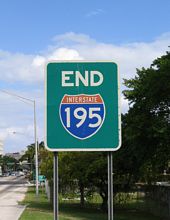
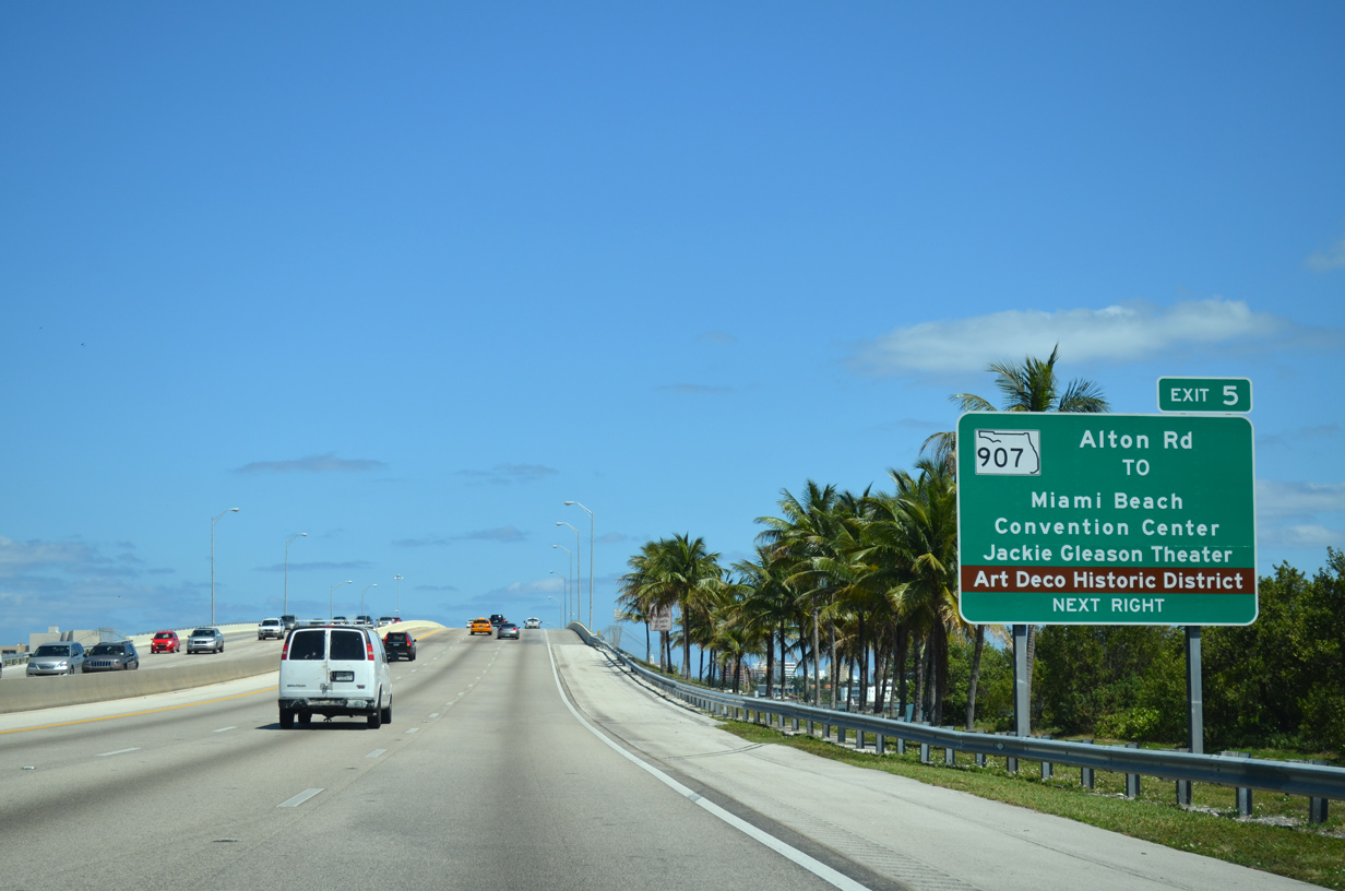
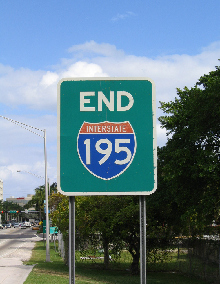
The final reassurance shield for Interstate 195 east along Julia Tuttle Causeway across Biscayne Bay. 04/01/14
East at
The final reassurance shield for Interstate 195 east along Julia Tuttle Causeway across Biscayne Bay. 04/01/14
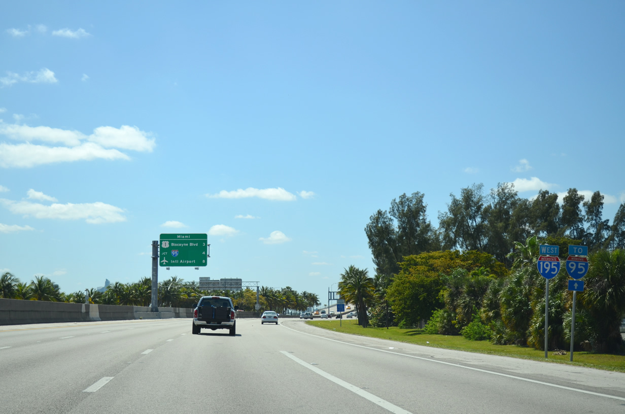
West at
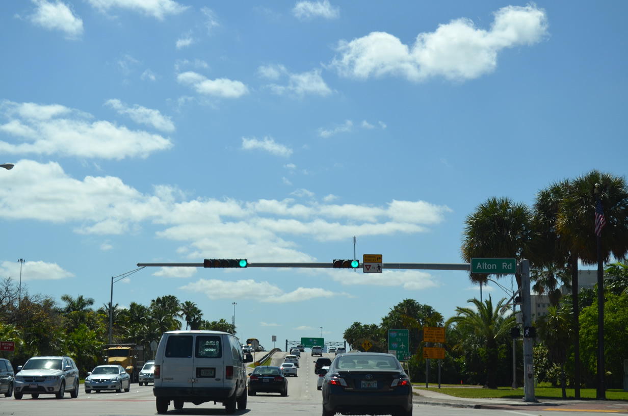
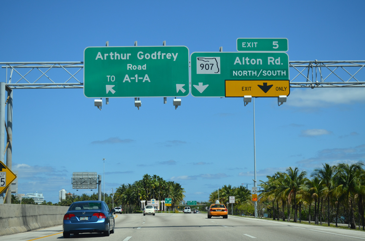
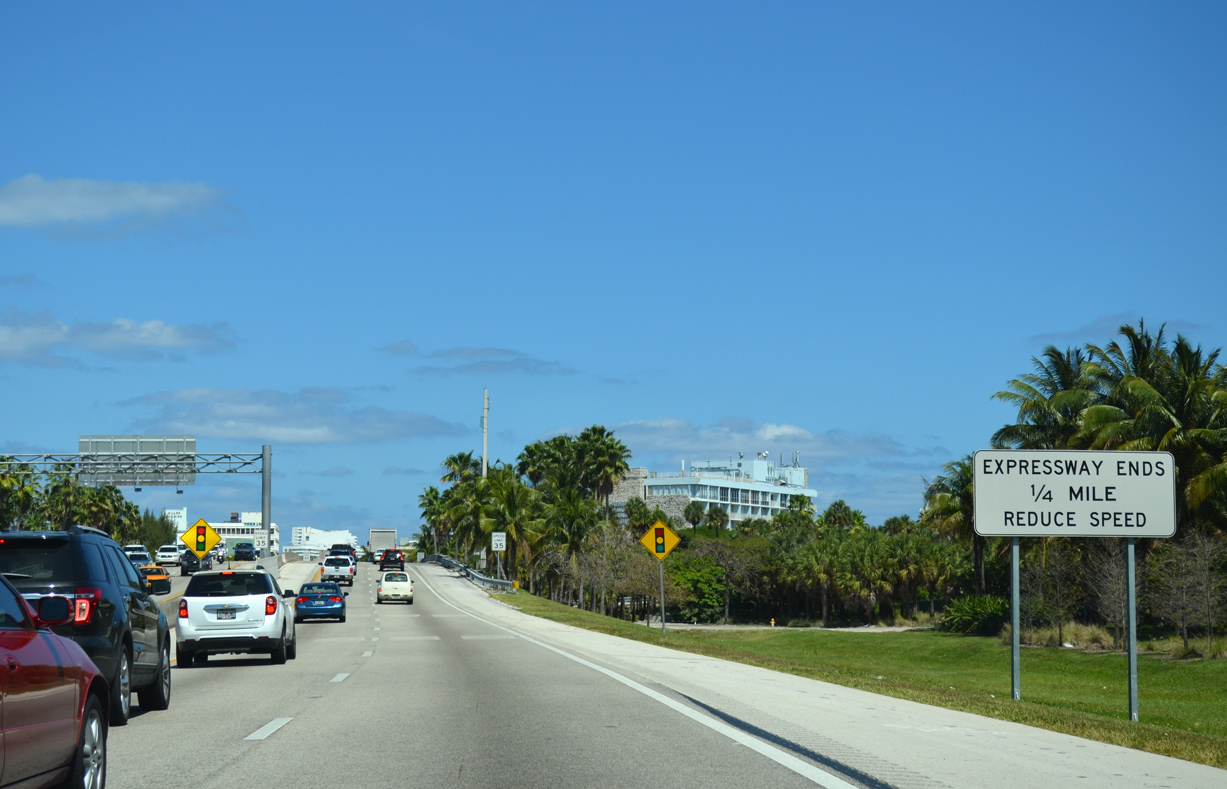
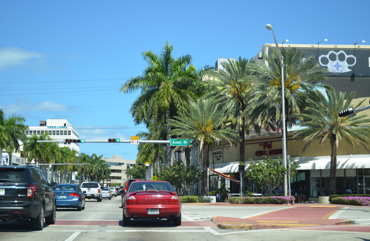
SR 112 (41st Street) intersects Alton Road (SR 907A) at the westbound beginning of I-195. SR 907A loops east along a section of Alton Road bypassed by SR 907. 04/01/14
North at
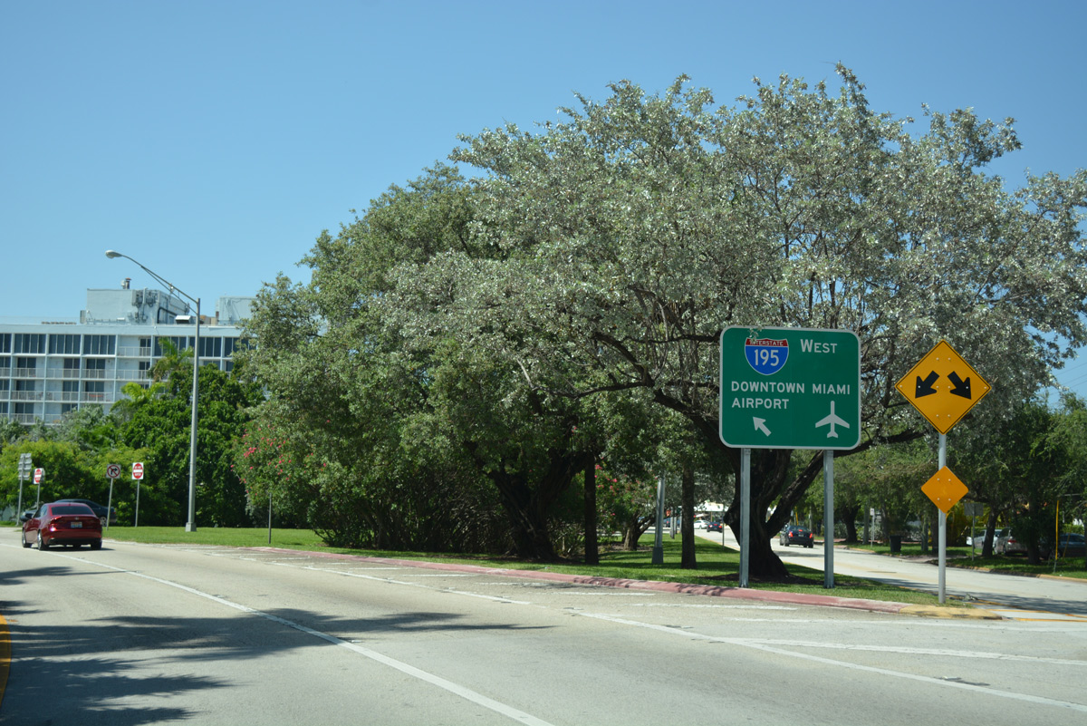
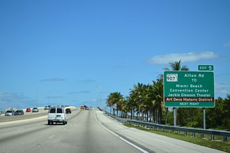
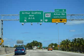
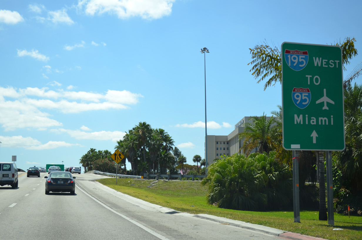
SR 907 partitions with Alton Road (SR 907A) ahead of the exchange with Interstate 195. Alton Road connects with 41st Street (Arthur Godfrey Road) east to SR A1A (Collins Avenue). 07/27/17
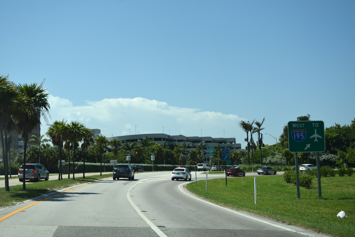
West End 
 ‐ Miami, FL
West at
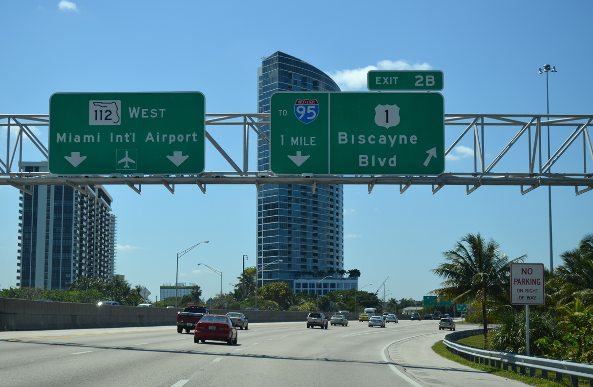
Exit 2B connects I-195 west with U.S. 1 (Biscayne Boulevard) at the Bay Point and Edgewater neighborhoods in the Upper East Side of Miami. 04/01/14
East at
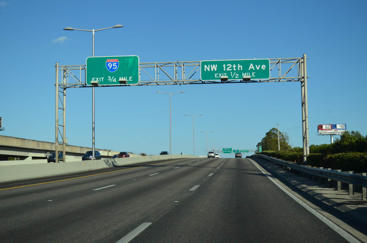
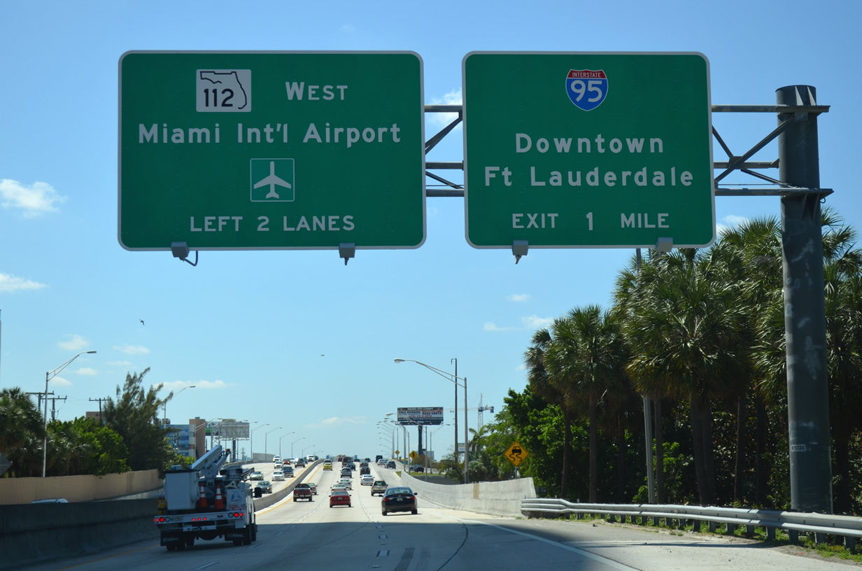
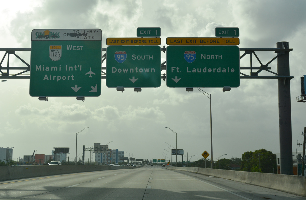
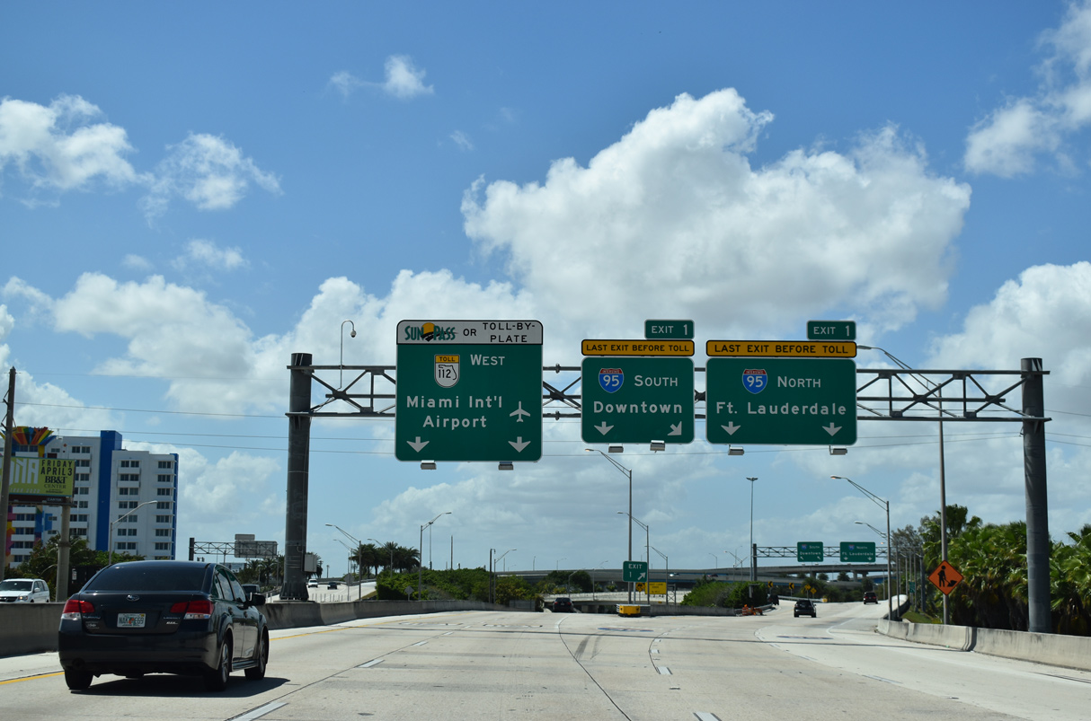
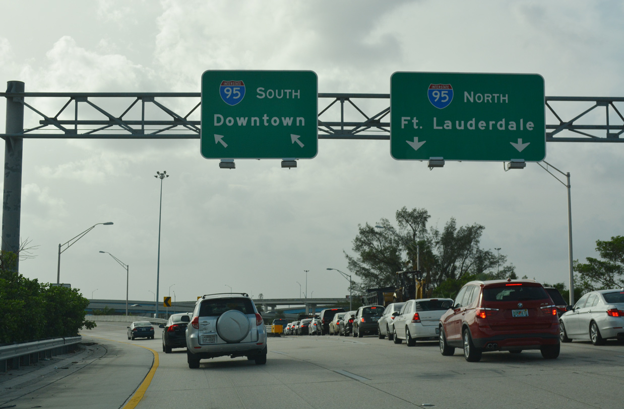
Paralleling a Metrorail line, SR 112 (Airport Expressway) east advances 0.75 miles to the 36th Street Interchange with I-95/195. 01/23/16
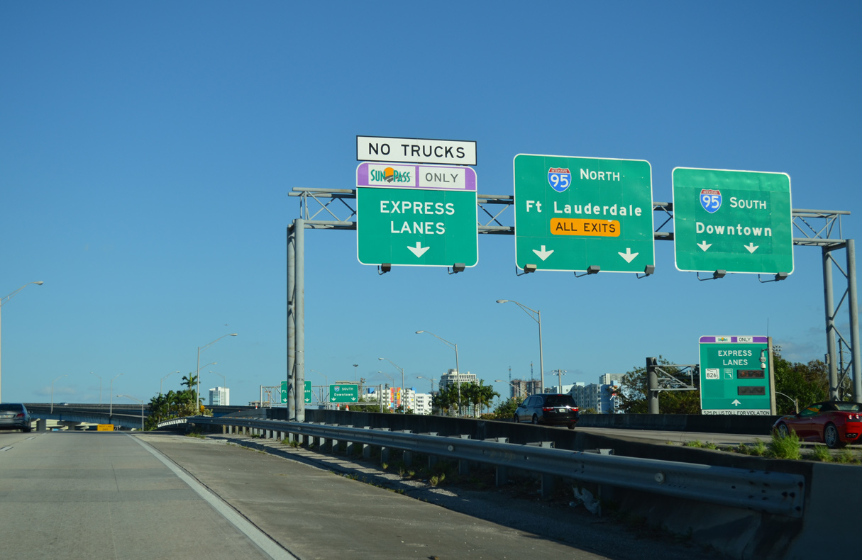
South at
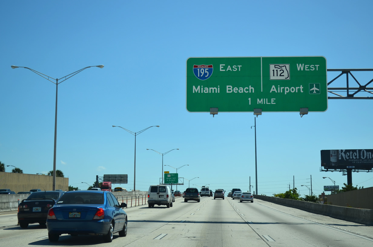
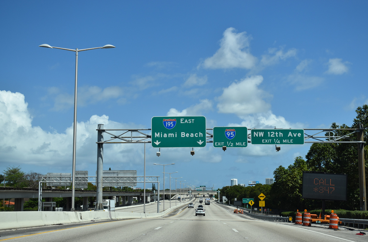
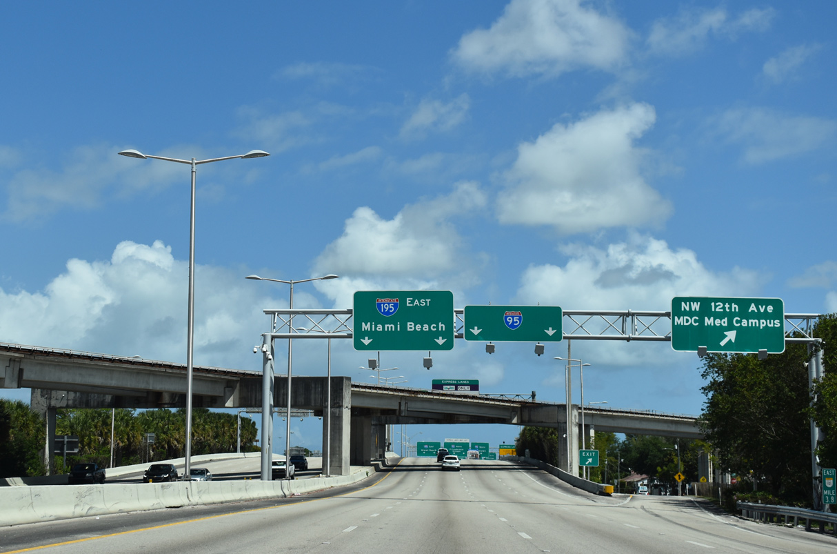
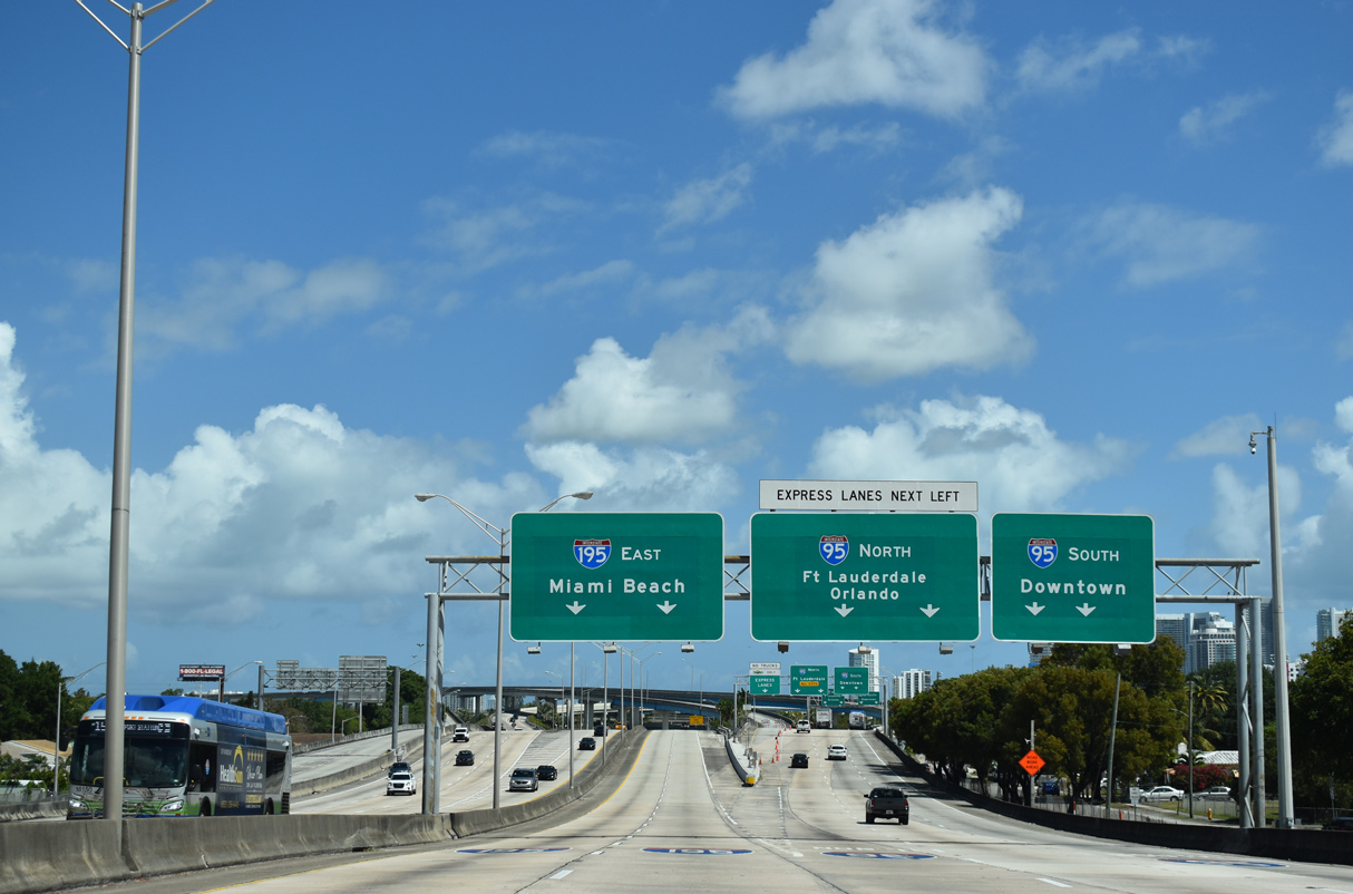
One mile ahead of the systems interchange with I-195 east to Miami Beach and SR 112 west to Miami International Airport (MIA) on I-95 (North-South Expressway) southbound. 03/04/14
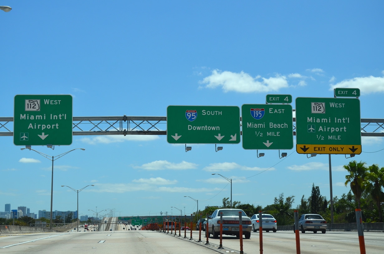
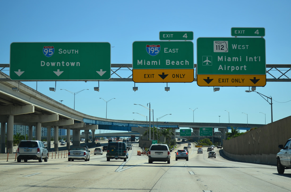
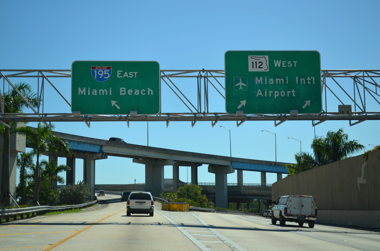
North at
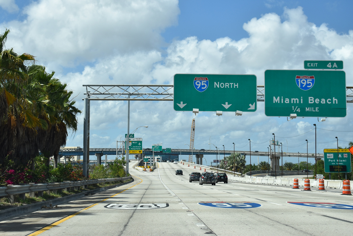
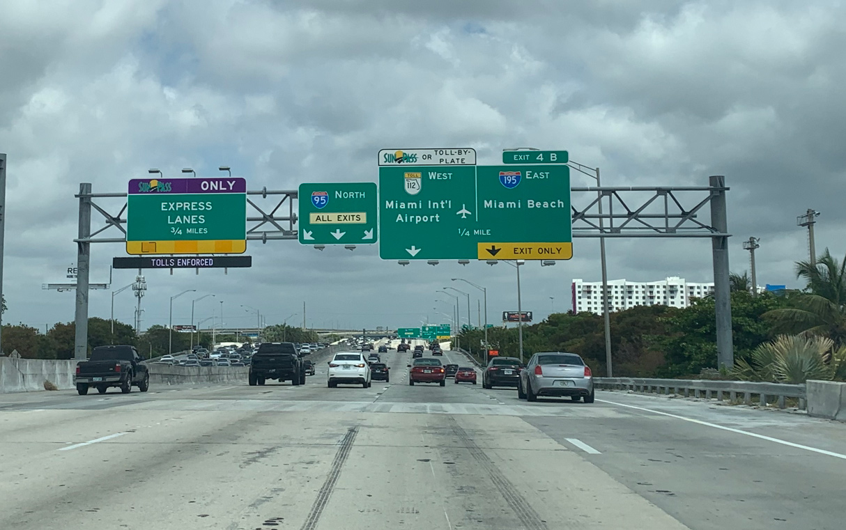
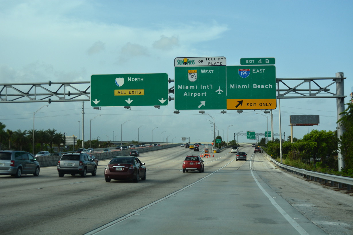
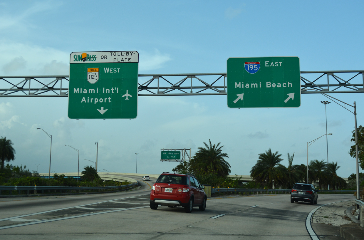
The forthcoming ramp (Exit 4A) for I-195 consists of a flyover taking motorists over merging traffic from I-395 west and SR 836 east. Returning to the I-95 mainline, the ramp forms an auxiliary lane to Exit 4B for Interstate 195. 03/21/20
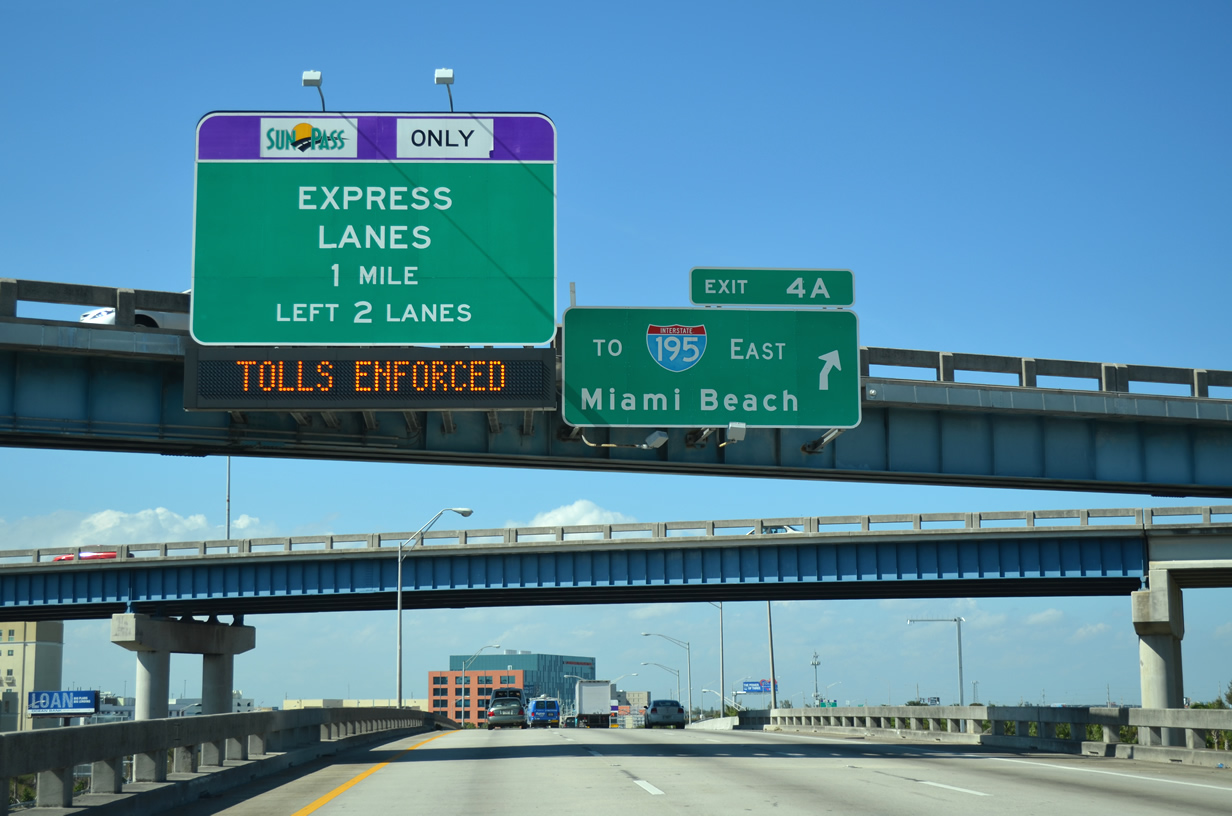
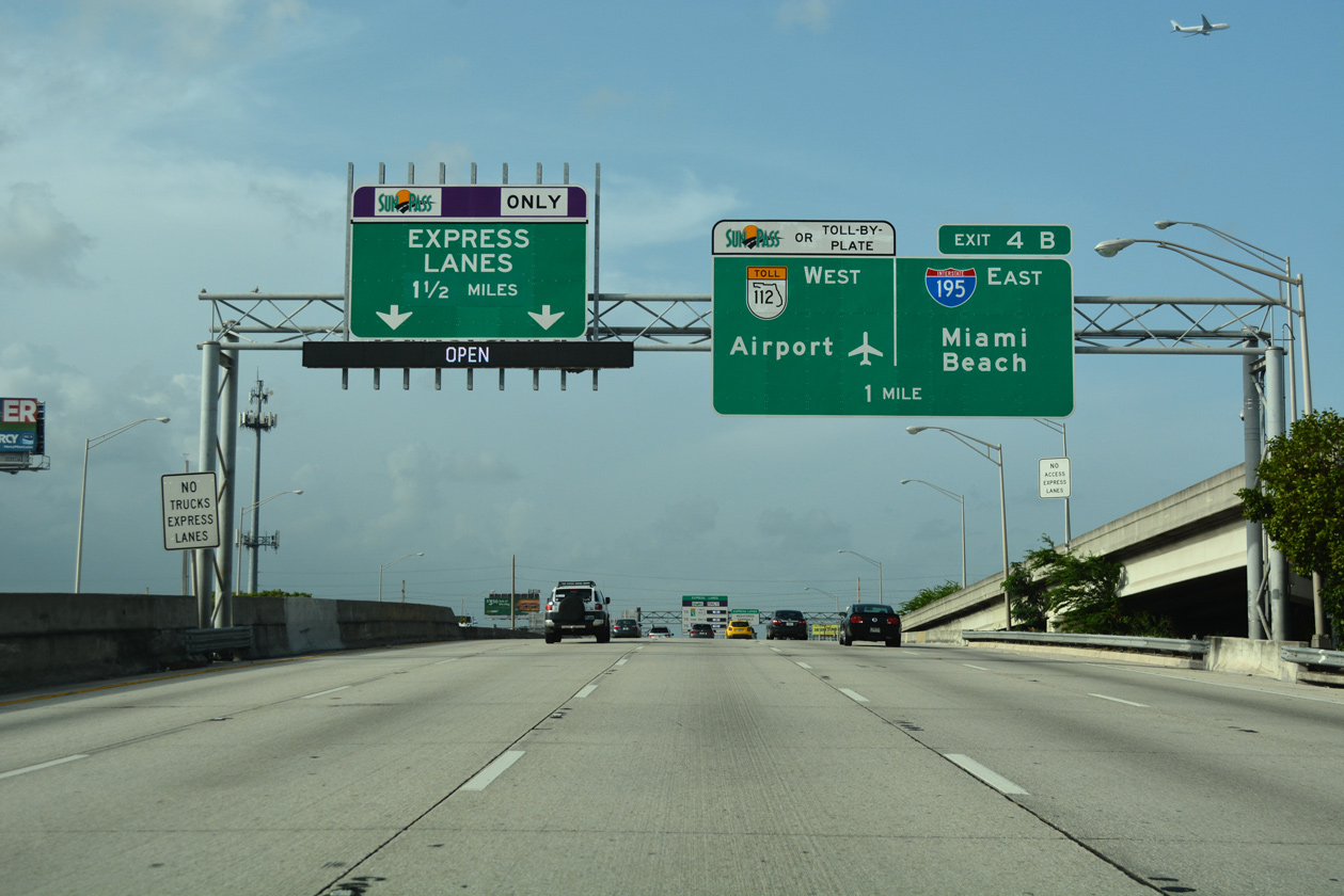
West End – Past Views
Past Views Gallery (Tap to Expand / Collapse Section)
East at
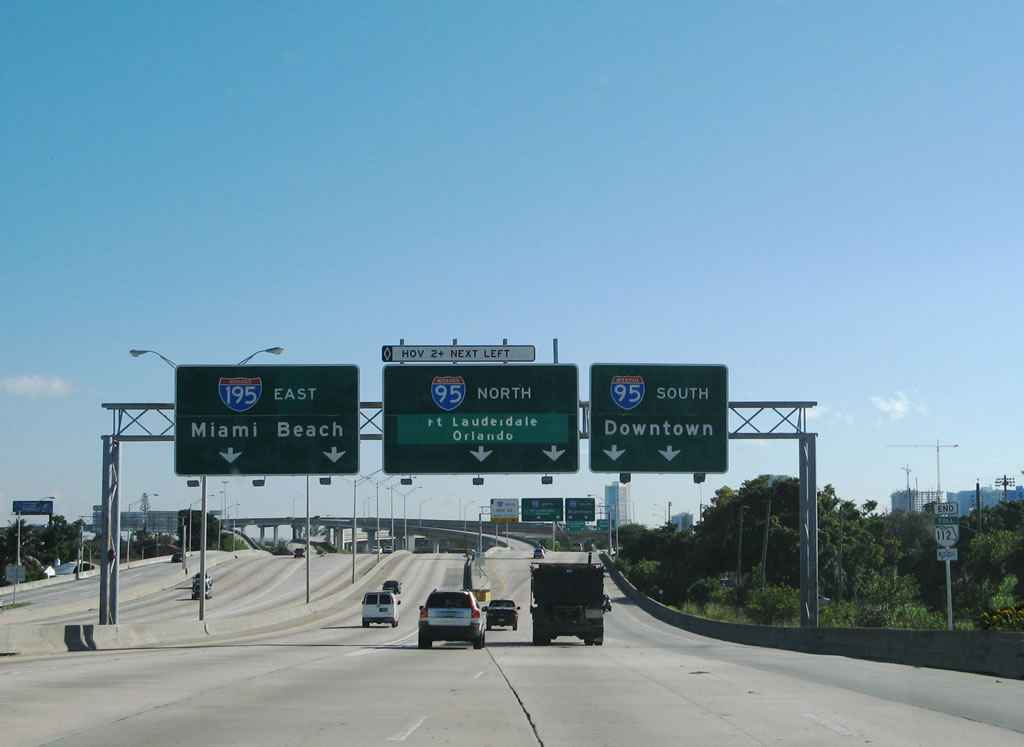
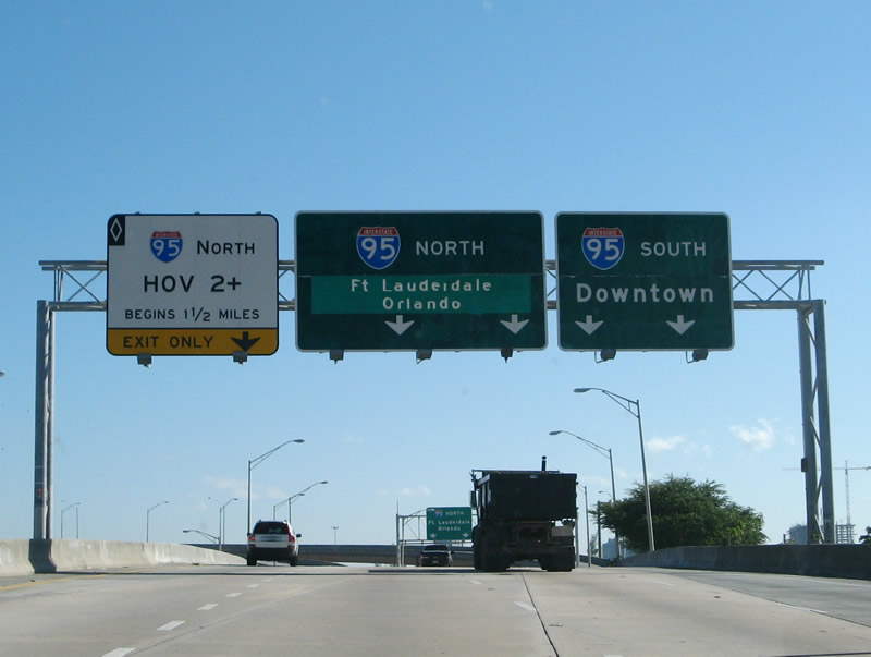
Older guide signs posted along the Airport Expressway east at the 36th Street Interchange. 12/28/06
References
- "36th St. Span To Start By October 21", The Miami News (FL), September 20, 1957.
- "We Bridge The Gap", The Miami News (FL), December 12, 1959.
- "36th St. Span Ready To Roll", The Miami News (FL), December 7, 1959.
- "Work Will Start Soon on Miami Expressway", The Miami News (FL), March 17, 1960.
- "X-Way Opens - Snip, Zip!",The Miami News (FL), December 22, 1961.
- Learned, Jason. "Interstate Guide - Florida I-195, I-395, I-595." Personal email, November 25, 2003.
- "Twenty-Fourth Biennial Report of the State Road Department (Florida) - Jan. 1, 1961 through Dec. 31, 1962" (online document).