
Unsigned Interstate 194 North Dakota
Overview
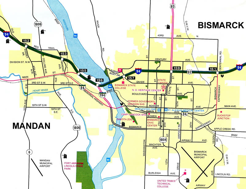
Although never signed in the field, I-194 appeared as a full Interstate on the 1982 North Dakota Official Highway Map. It was omitted by the 2002 edition, but reappeared by 2007 as a business route. The 2015-16 map again showed I-194 with a tricolor shield, but with non-Interstate line work.
Interstate 194 represents the northern half of a 3.5 mile long freeway linking I-94 with the capital city of Bismarck at Washington Street via east Mandan. The Interstate portion of the route ends 1.072 miles south of I-94 at the interchange with Business Loop I-94 (Memorial Highway). The remainder of the freeway southeast across the Missouri River is a part of unsigned North Dakota Highway 810.
Bismarck Expressway transitions to an arterial route at Washington Street. The expressway loops across the south side of Bismarck, serving a retail corridor anchored by Kirkwood Mall and an industrial area north of Bismarck Airport (BIS). The ND 810 portion of the route concludes 5.741 miles east of I-194 at 5th Avenue NE. Business Loop I-94 turns north onto the expressway from there on the final 1.658 mile return to Interstate 94 at the Centennial Park area. All mileage figures cited here were obtained from the 2020 Route and Mileage Map prepared by the North Dakota Department of Transportation (NDDOT).
Mileage by State
| North Dakota | 1.20 mi |
Data Sources
December 31, 2021 Interstate Route Log and Finders List
History
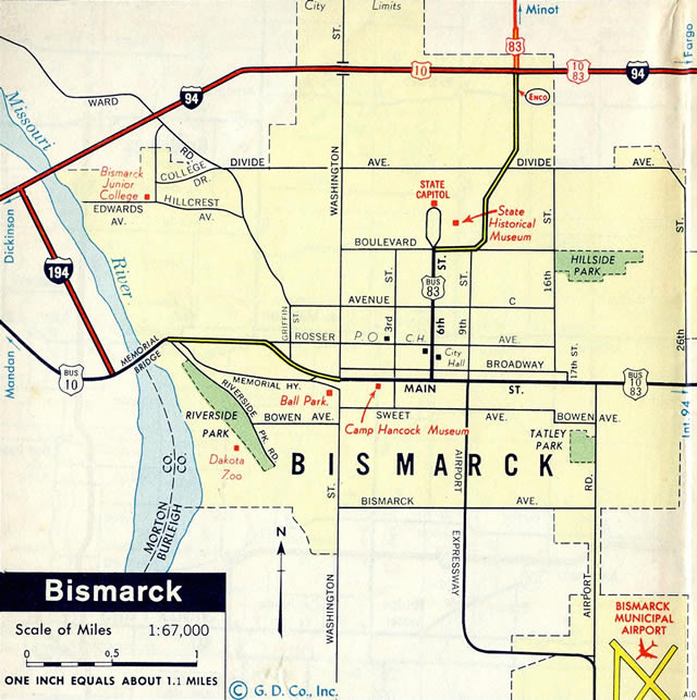
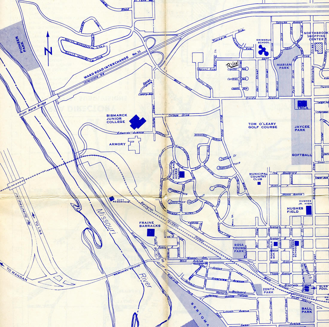
Interstate 194 was the lone Urban Interstate Route approved by the North Dakota State Highway Department in 1958. The route was specified in letter to the American Association of State Highway Officials (AASHO) dated July 14, 1958 as
a Spur connecting Interstate Highway Number 94 with the present U.S. Highway Number 10, at the Missouri River Bridge, west of Biscmarck.
AASHO approved the route on November 10, 1958.
Interstate 194 was constructed at the same time I-94 was built from Mandan eastward through Bismarck. This included the Grant Marsh Bridge spanning the Missouri River, which was dedicated on December 9, 1965.1 I-194 consisted of just the spur southeast to Memorial Highway and Main Avenue, the former alignment of U.S. 10 between the sister cities.
North End  ‐ Mandan, ND
 North at
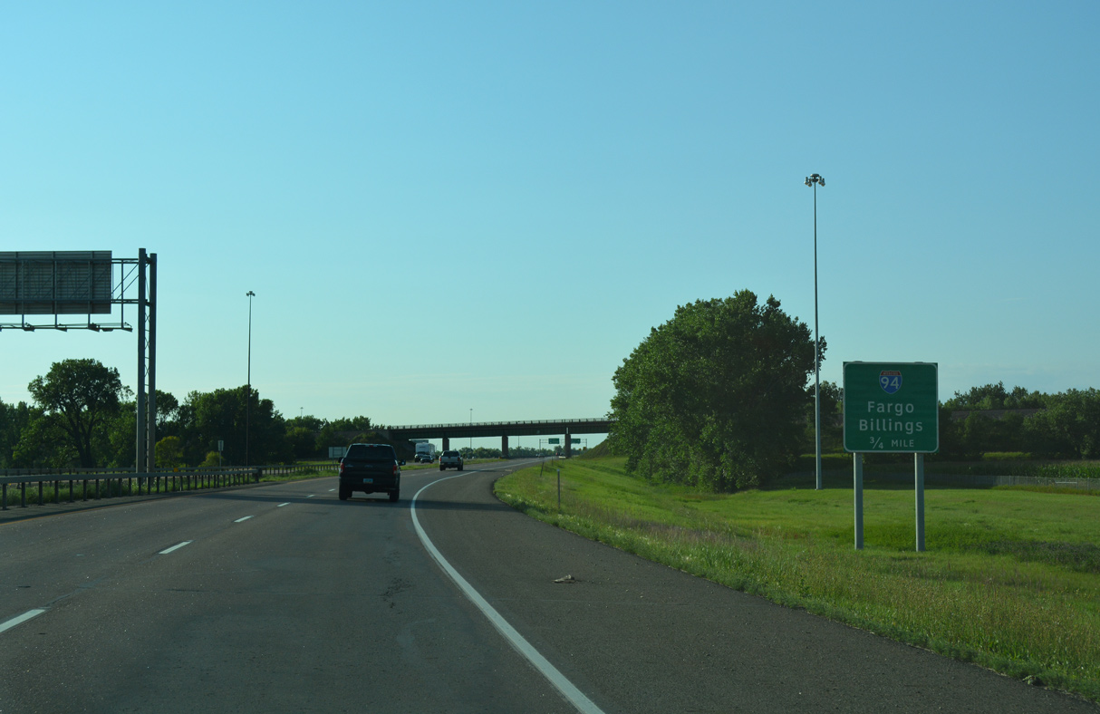
Leaving the city limits of Mandan, Interstate 194 heads north 0.75 miles to the trumpet interchange with I-94. 08/06/16
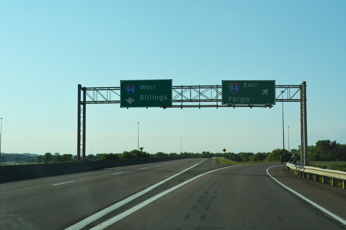
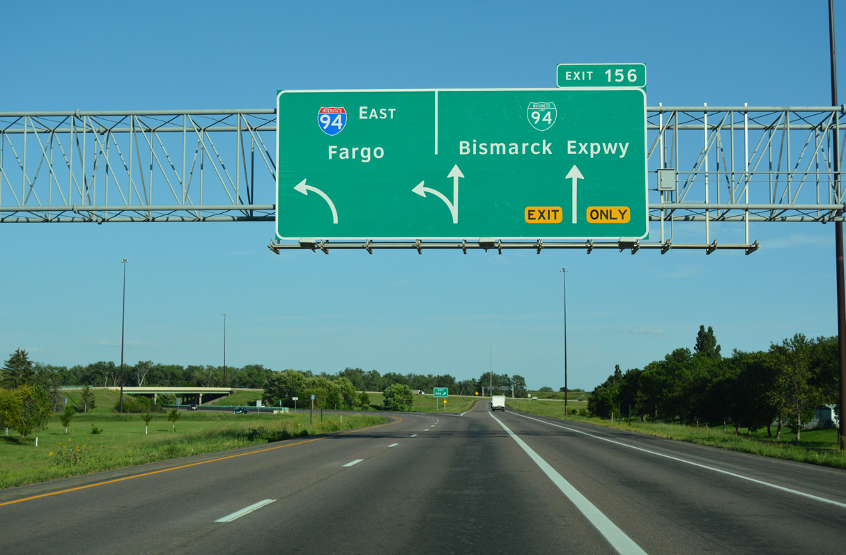
East at
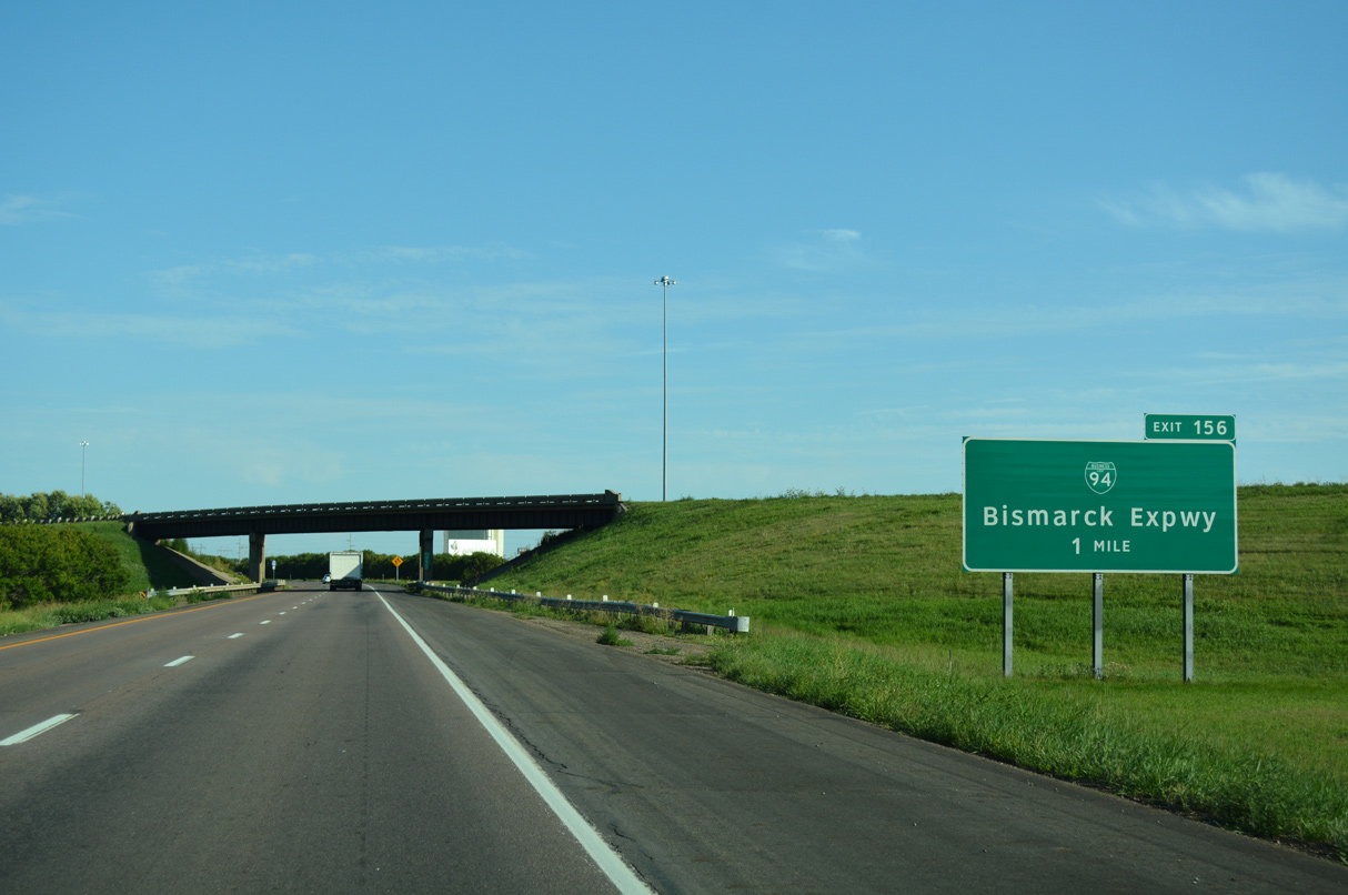
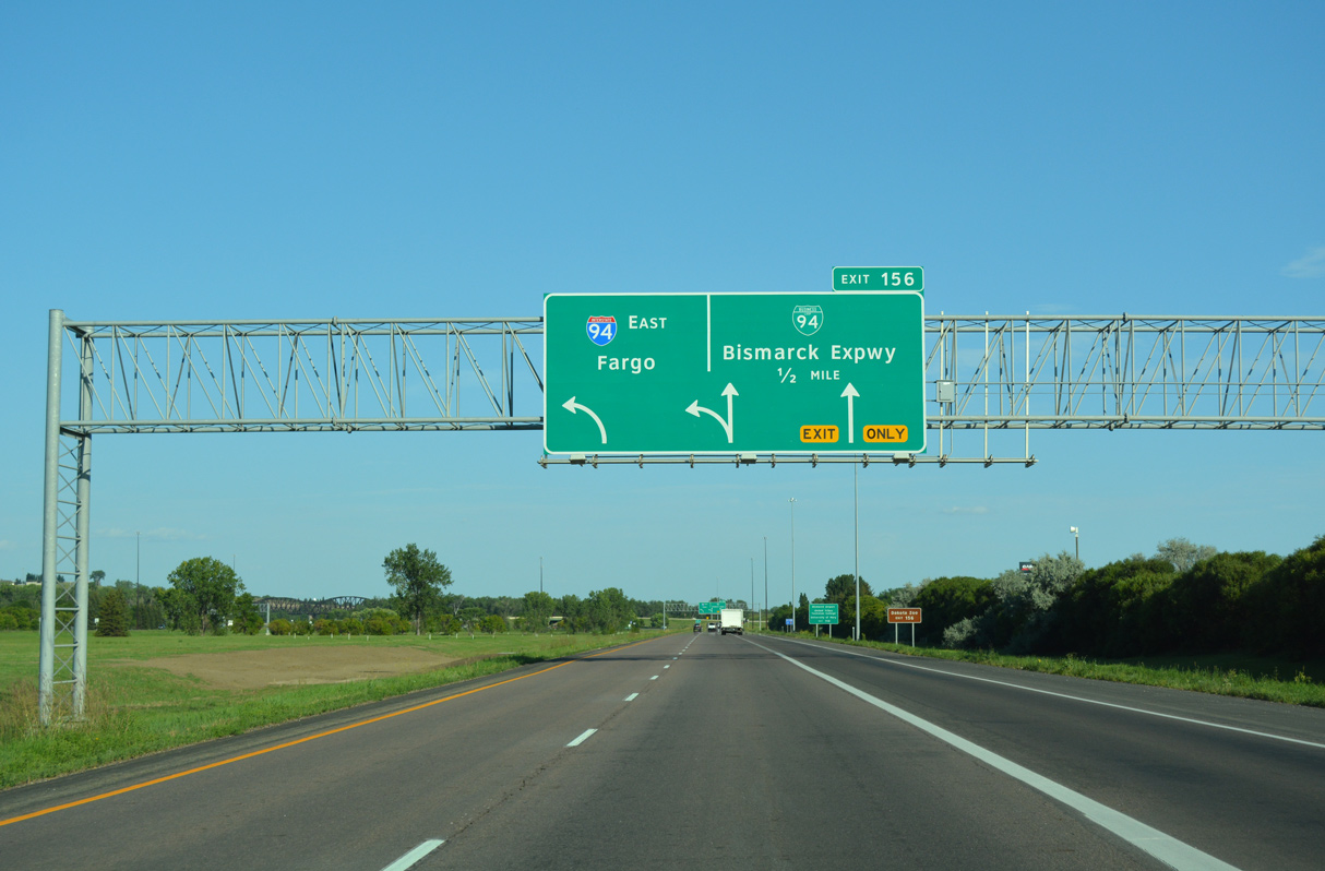
Exit 156 references the connection with parallel Business Loop I-94 in place of the Interstate 194. 08/06/16
West at
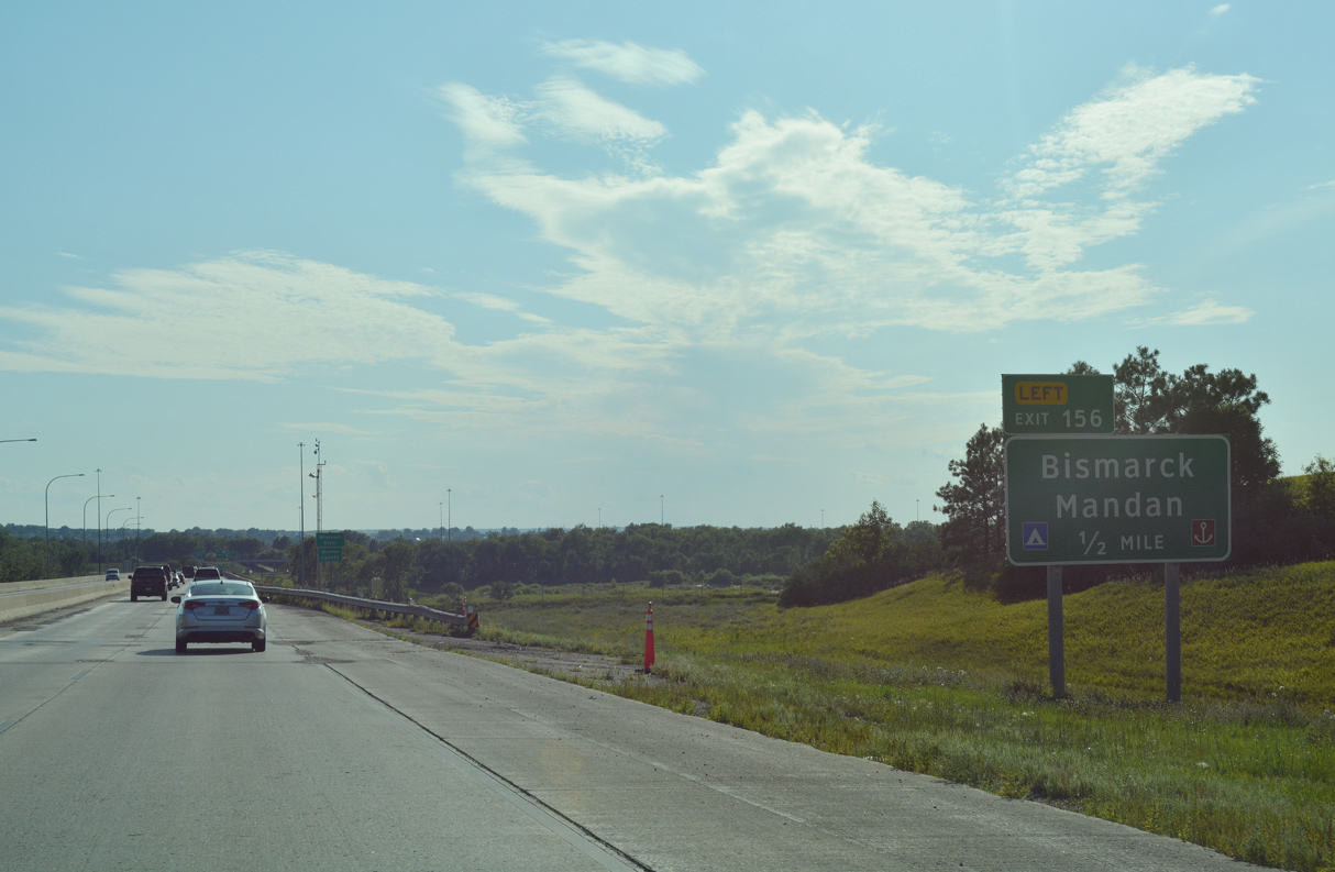
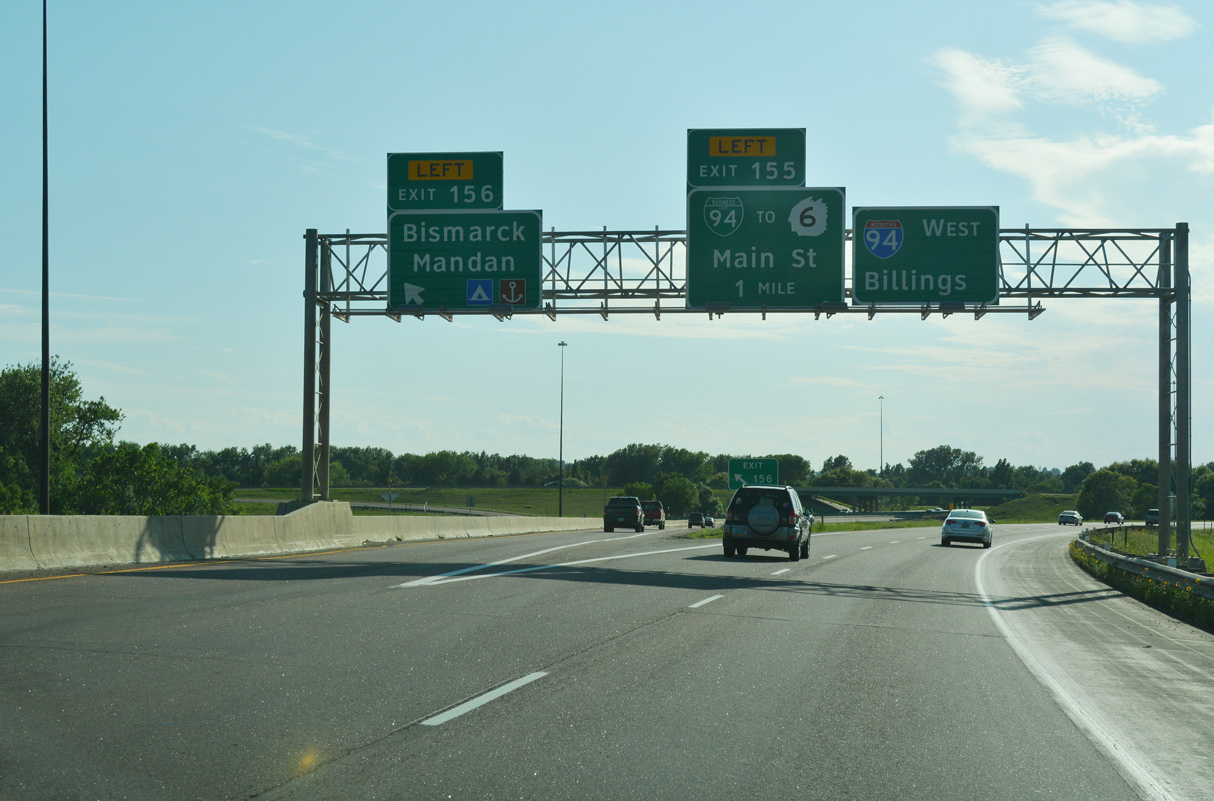
Interstate 94 crosses the Missouri River on the Grant Marsh Bridge leading west to the exchange with I-194 south. 08/06/16
North End – Past Views
Past Views Gallery (Tap to Expand / Collapse Section)
North at
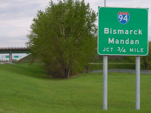
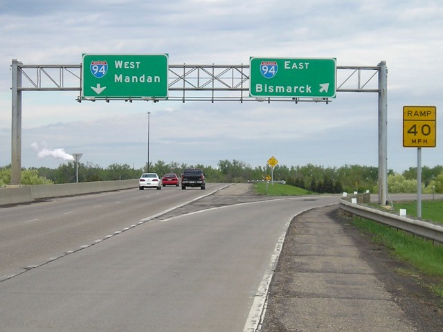
Sign changes made along I-194 north by 2011 replaced the local control cities of Bismarck and Mandan with Fargo and Billings. Photo by Jeff and David Morrison (05/11/07).
at
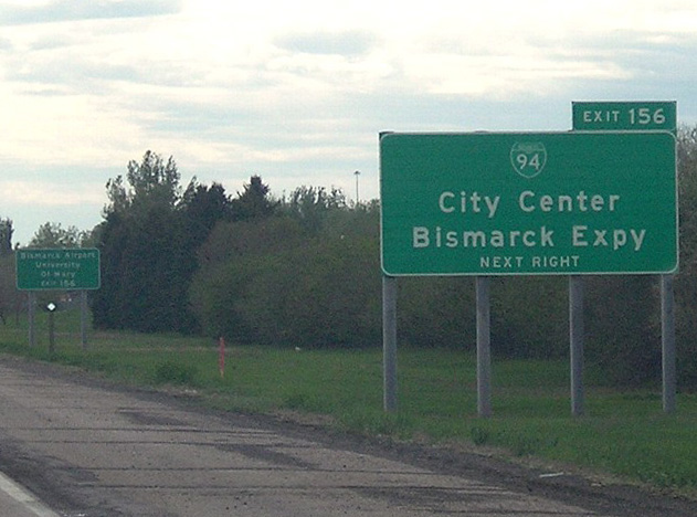
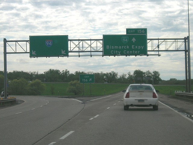
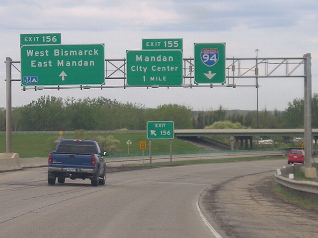
This ground level sign for Bismarck Expressway on I-94 east was replaced with a Arrow-Per-Lane (APL) overhead by 2011. Photo by Jeff and David Morrison (05/11/07).
South End 
 ‐ Mandan, ND
South at Bismarck Expwy
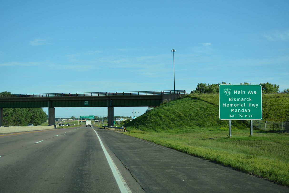
Ramps from I-94 combine along I-194 south just ahead of a BNSF Railroad overpass. The lone exit of I-194 departs quickly for Business Loop I-94 (old U.S. 10). 08/06/16
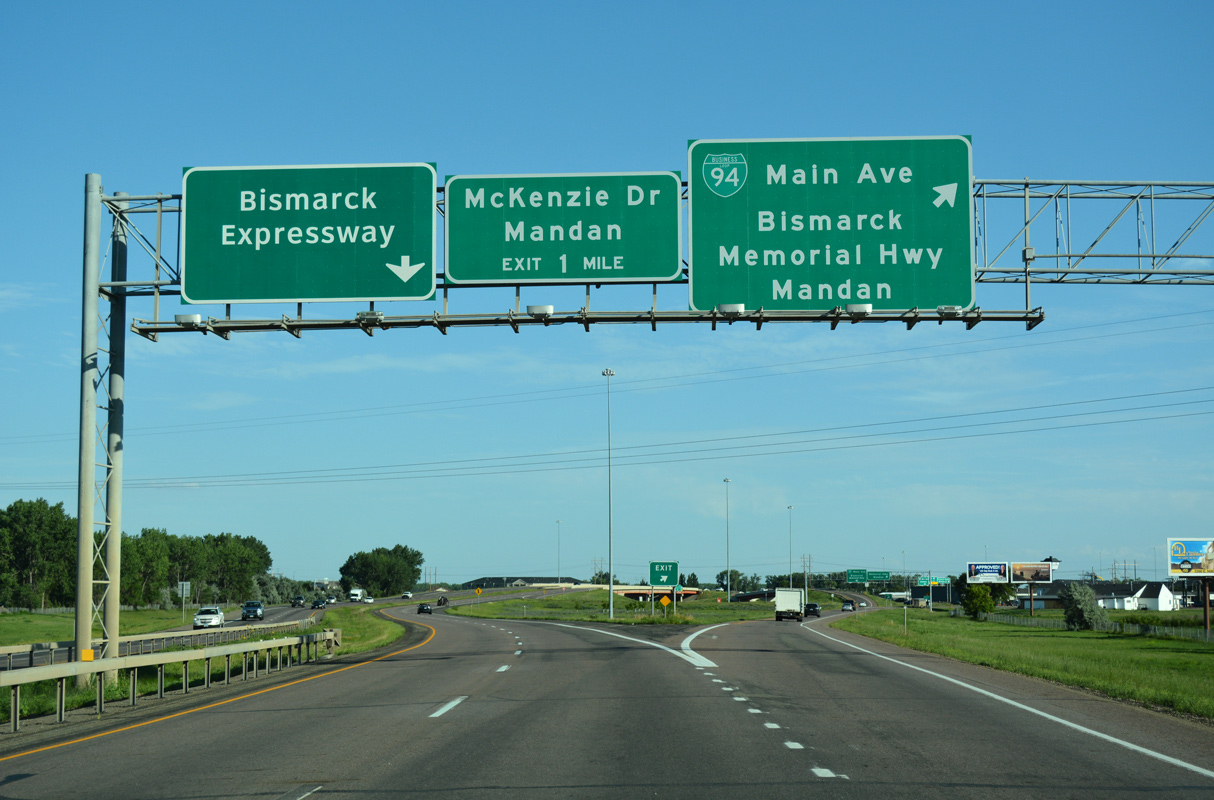
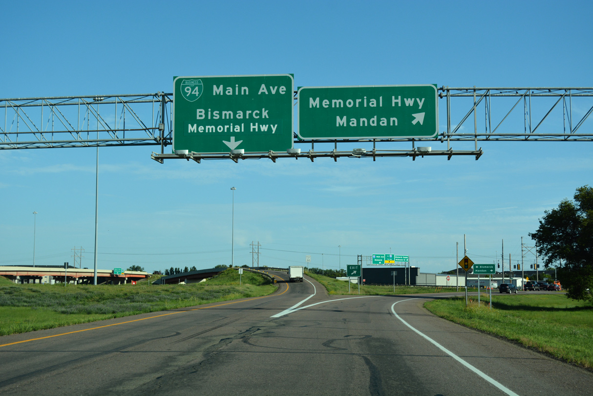
Bismarck Expwy North at
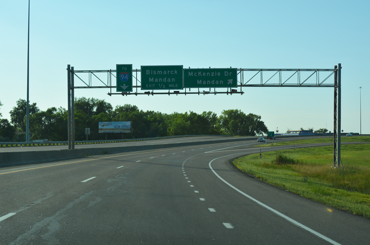
Bismarck Expressway transitions from unsigned ND 810 to I-194 at the six-ramp parclo interchange with Business Loop I-94. 08/06/16
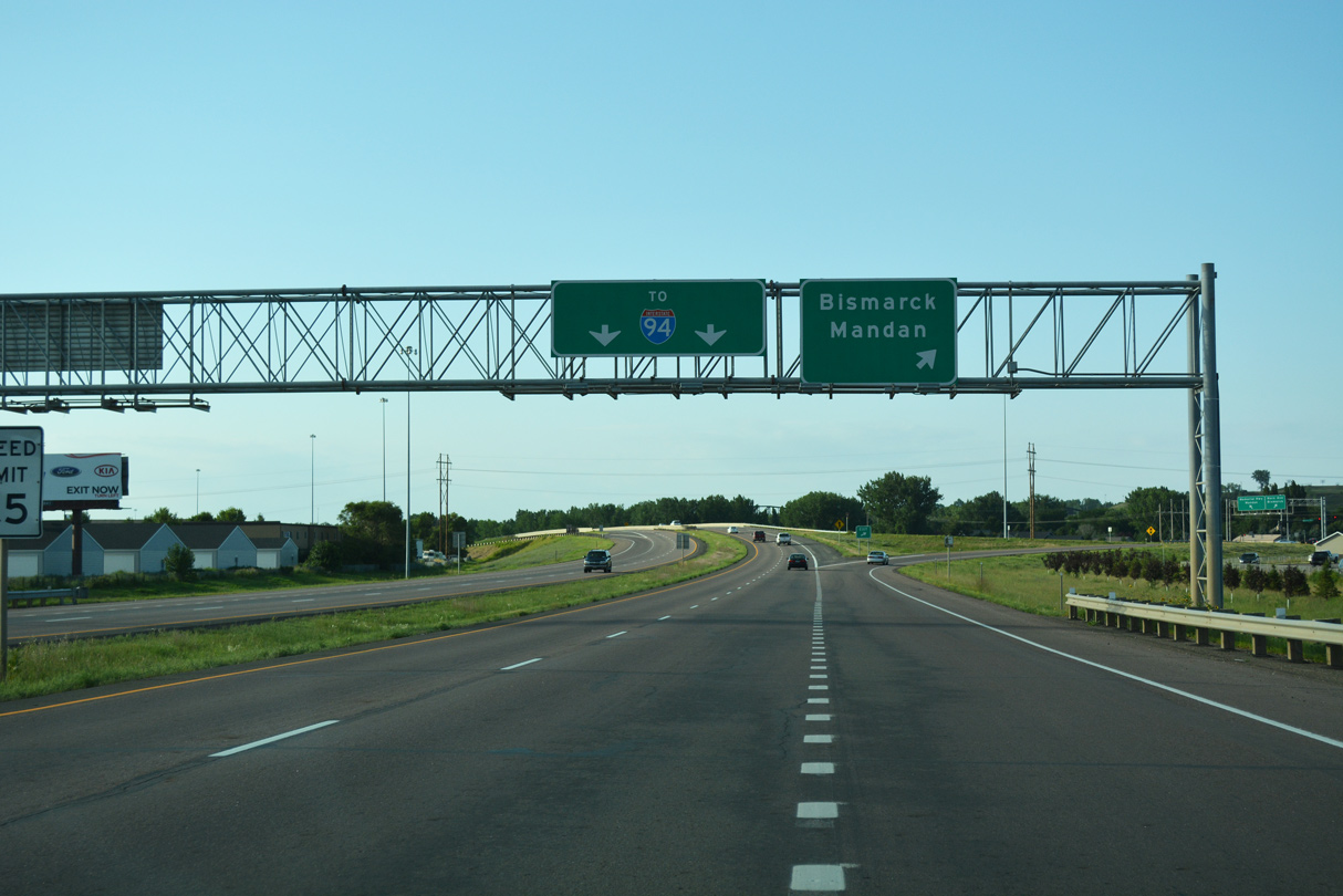
East at Bismarck Expwy
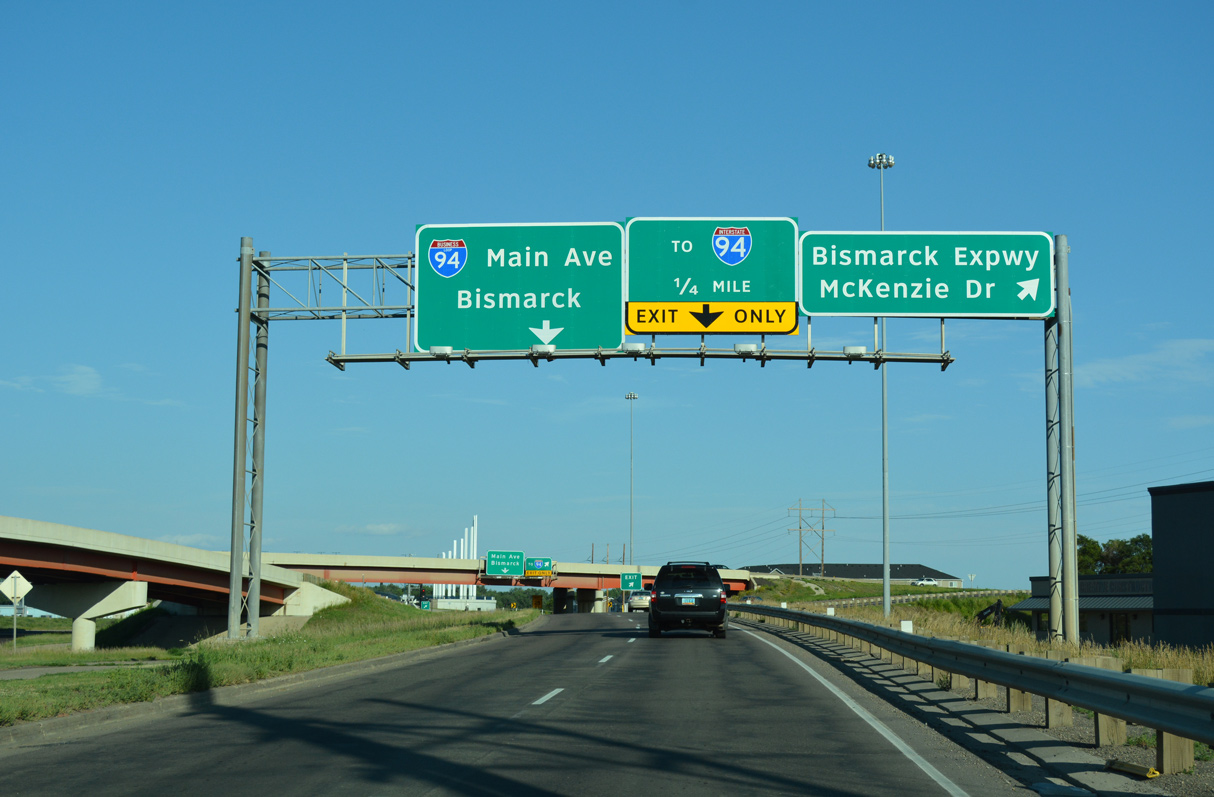
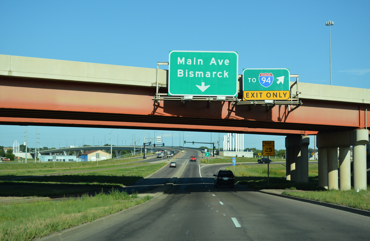
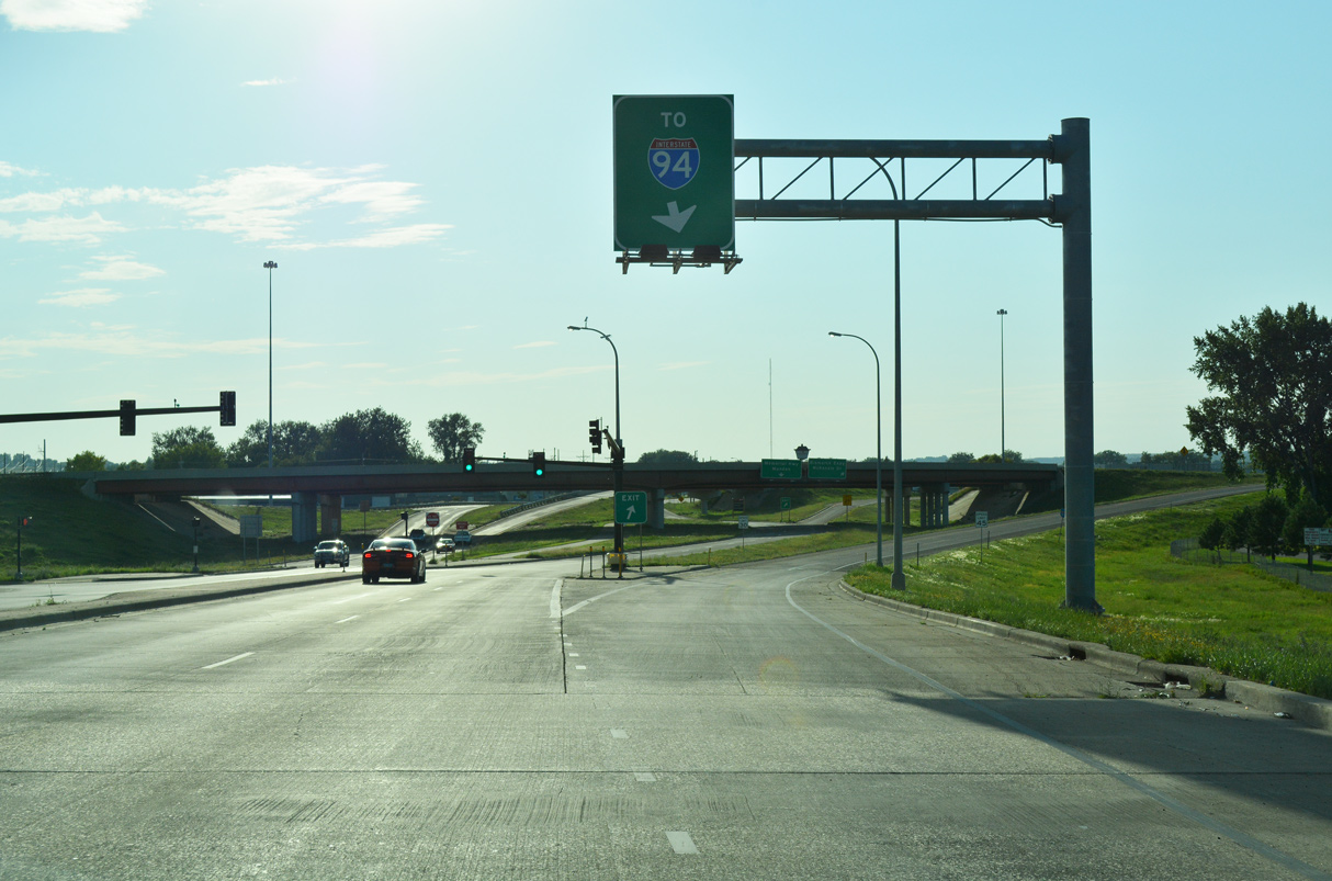
Business Loop I-94 (Memorial Highway) angles southeast along a commercialized stretch leading into the parclo interchange with I-194 north and Bismarck Expressway (ND 810) east. 08/06/16
West at Bismarck Expwy
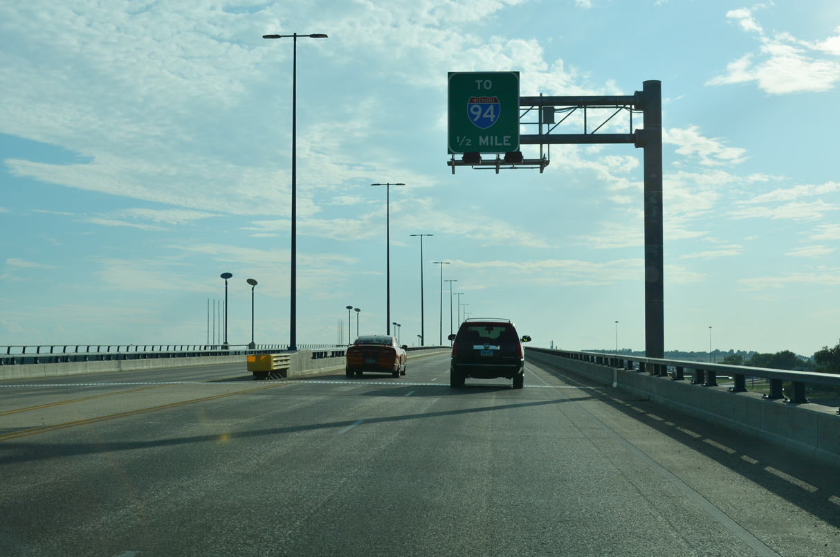
Business Loop I-94 spans the Missouri River across the Liberty Memorial Bridge west to I-194/Bismarck Expressway. The Memorial Bridge was dedicated on November 11, 2008.4 08/06/16
South End – Past Views
Past Views Gallery (Tap to Expand / Collapse Section)
South
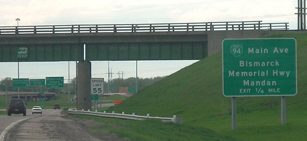
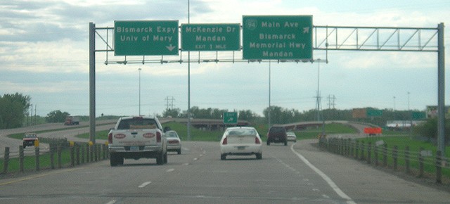
This sign for Business Loop I-94 (Main Avenue) was replaced by 2011 to display Clearview font. Photo by Jeff and David Morrison (05/11/07).
References
- #tbt to the Grant Marsh Bridge dedication in Bismarck on December 9, 1965. Pictured is Highway Commissioner Walt Hjelle (left) and Chief Engineer Robert Bradley (right). A presentation about this project called "Building the Interstate in North Dakota- Crossing the Missouri" will be presented on Jan. 10, 2016 at the Heritage Center in Bismarck. #throwbackthursday #nddot [Facebook update]. Retrieved from https://www.facebook.com/nddot/photos/a.88387089460.81002.88374649460/10153778491739461/?type=3
- A lot has changed since this #throwback picture was taken in the early 80s! This is Bismarck Expressway looking west near the 9th Street intersection. #tbt #throwbackthursday #nddot [Facebook update]. Retrieved from https://www.facebook.com/nddot/photos/a.88387089460.81002.88374649460/10153873066009461/?type=3
- "Bridge's chances look iffy - Sioux, Emmons counties still want to be connected." Bismarck Tribune, The (ND), November 24, 1995.
- "Traffic returns to normal on new Memorial Bridge." Bismarck Tribune, The (ND), October 31, 2008.