
Interstate 190 South Dakota
Overview
Interstate 190 is a short spur from Interstate 90 south into Downtown Rapid City. It runs concurrent with U.S. 16 as part of a route to Black Hills National Forest and Mount Rushmore National Monument.
A single point urban interchange (SPUI) was constructed along Interstate 190 at Silver and North Streets from September 2015 to October 2017. Construction included the replacement of the I-190 overpasses above North Street and the removal of the frontage roads south of there. Work also added a bike path along the west side of I-190 to the north.
Mileage by State
| South Dakota | 1.72 mi |
Data Sources
December 31, 2021 Interstate Route Log and Finders List
History
Interstate 190 opened in 1962.2 The bridges over North Street were built in 1958.1 The exchange joining the north end of I-190 with I-90 was reconfigured from a directional T interchange with left ramps into a trumpet interchange in 2000.
The Omaha Street Project, underway during the 2003 and 2004 construction seasons, rebuilt the intersection where I-190/U.S. 16 tie into Omaha Street (SD 44) and West Boulevard. The public private partnership expanded Omaha Street into a six lane arterial from 12th Street to East Boulevard, with work completed just ahead of schedule on July 3, 2004.3
Construction on the I-190/Silver Street Interchange Project commenced in August 2015 with land clearing. Closure of the southbound lanes of I-190 followed by March 2016 so crews could rebuild them and replace the span above North Street. Phase III reopened the southbound lanes for two-way traffic in October 2016 as the northbound lanes were rebuilt. Phase IV involved paving of Nickel Street (formerly West Boulevard).1
NB I190 on ramp @ Anamosa St. will be closed permanently & traffic will be switched head to head in the NB Lanes beginning Monday March 7.
— SDi190info (@SDi190info) March 3, 2016
A ribbon cutting ceremony took place on August 15, 2017 and the exchange officially opened to traffic on August 18.4 Total costs were estimated at $32.5 million for SDDOT and $1.7 million for the city of Rapid City. Final projects items for the I-190/Silver Street Interchange Project wrapped up in October 2017.1,4
North End 

 ‐ Rapid City, SD
 North
North  East at
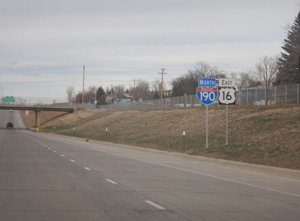
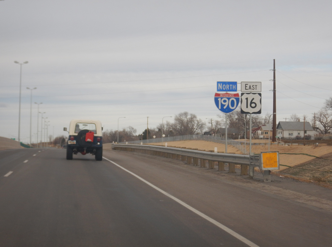
A second set of confirming markers for I-190/U.S. 16 precede the Anamosa Street overpass northbound. Photo by Joseph Barnes (12/13/17).
East at
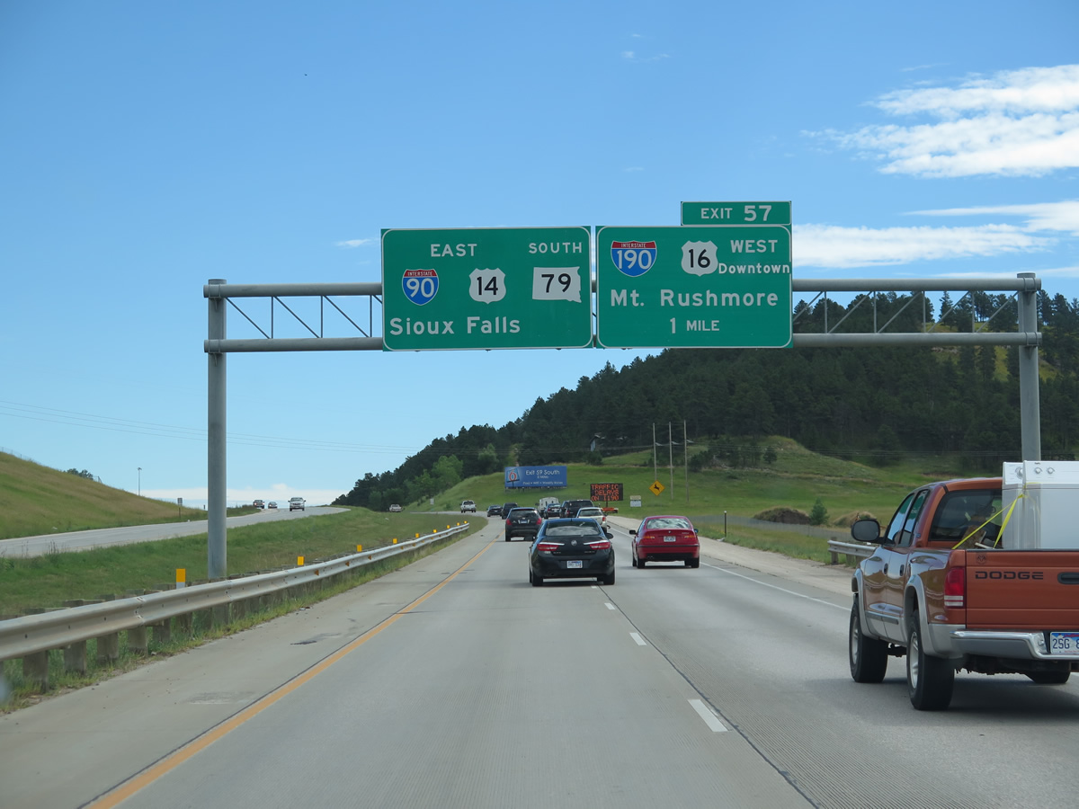
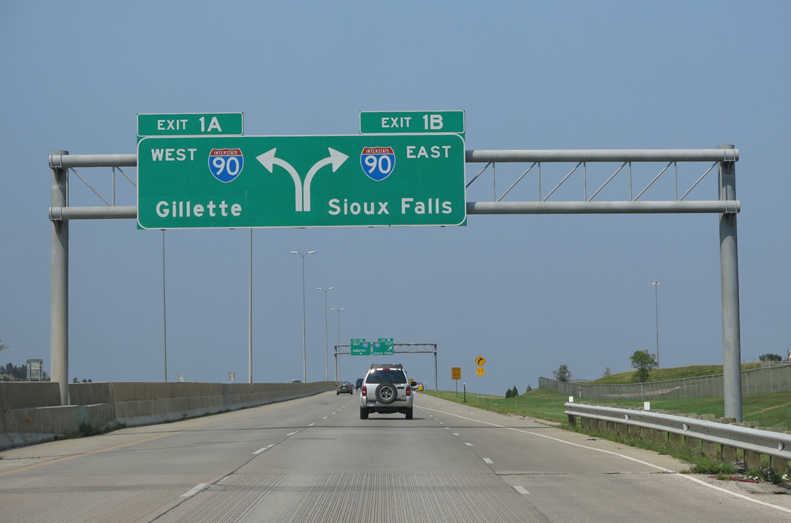
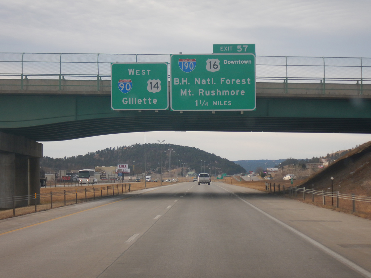
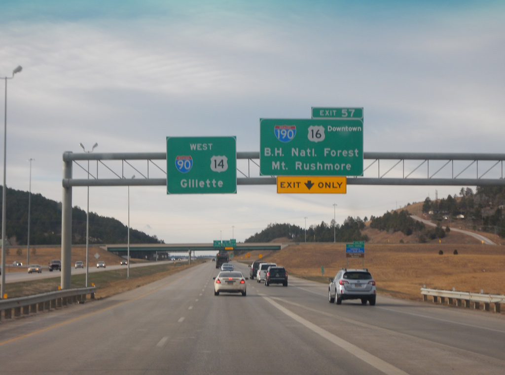
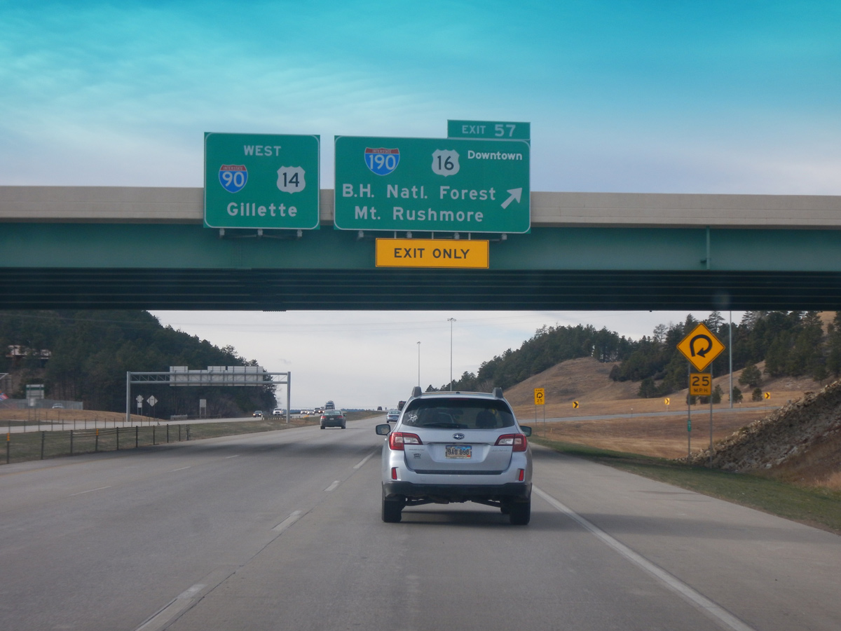
I-90/U.S. 14 east / SD 79 south traverse the hills separating industrial west Rapid City from the residential street grid on the one mile approach to I-190 south / U.S. 16 west. Mount Rushmore is the I-190 control point, as the freeway represents the initial leg of the route along U.S. 16 southwest to Rockerville and the national monument. 08/20/14
West at
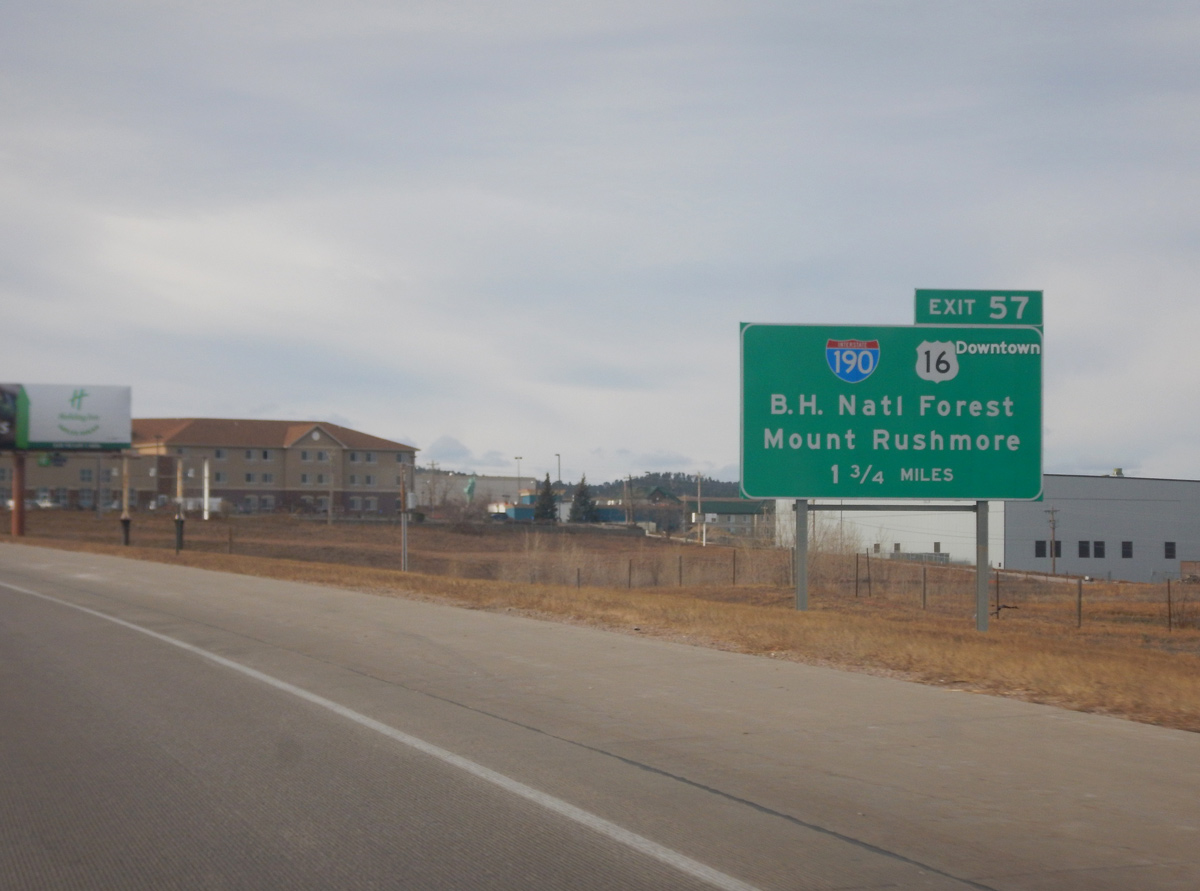
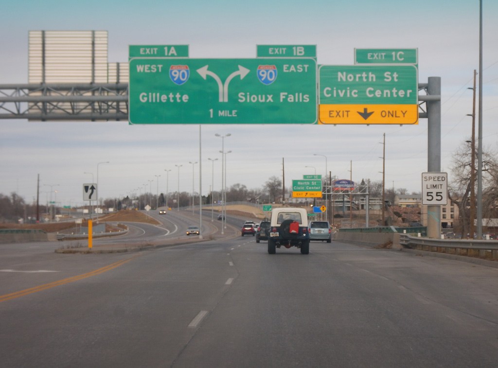
I-90 travels between retail areas on the 1.75 mile approach to Interstate 190 and U.S. 16. Traffic counts recorded by SDDOT in 2019 increased from 33,340 vehicles per day here to 37,180 vpd ahead of I-190. This sign was replaced in 2019 with Civic Center added and B.H. National Forest dropped. Photo by Joseph Barnes (12/13/17).
South West
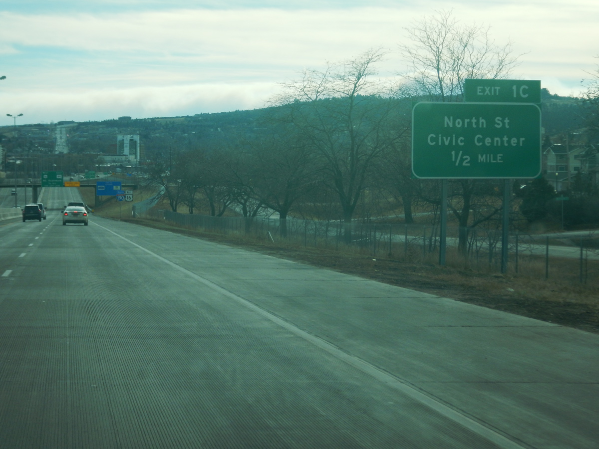
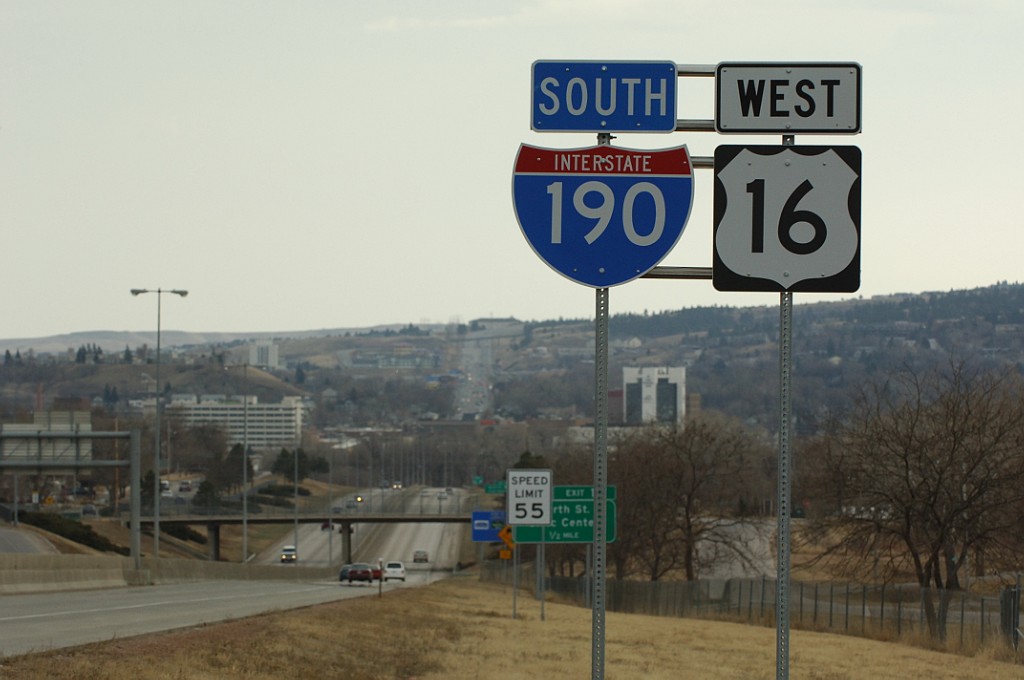
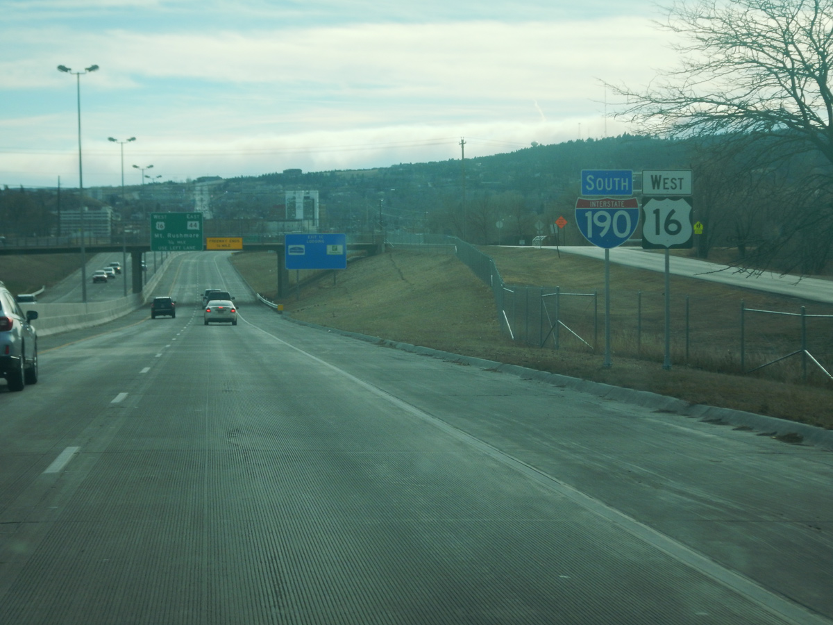
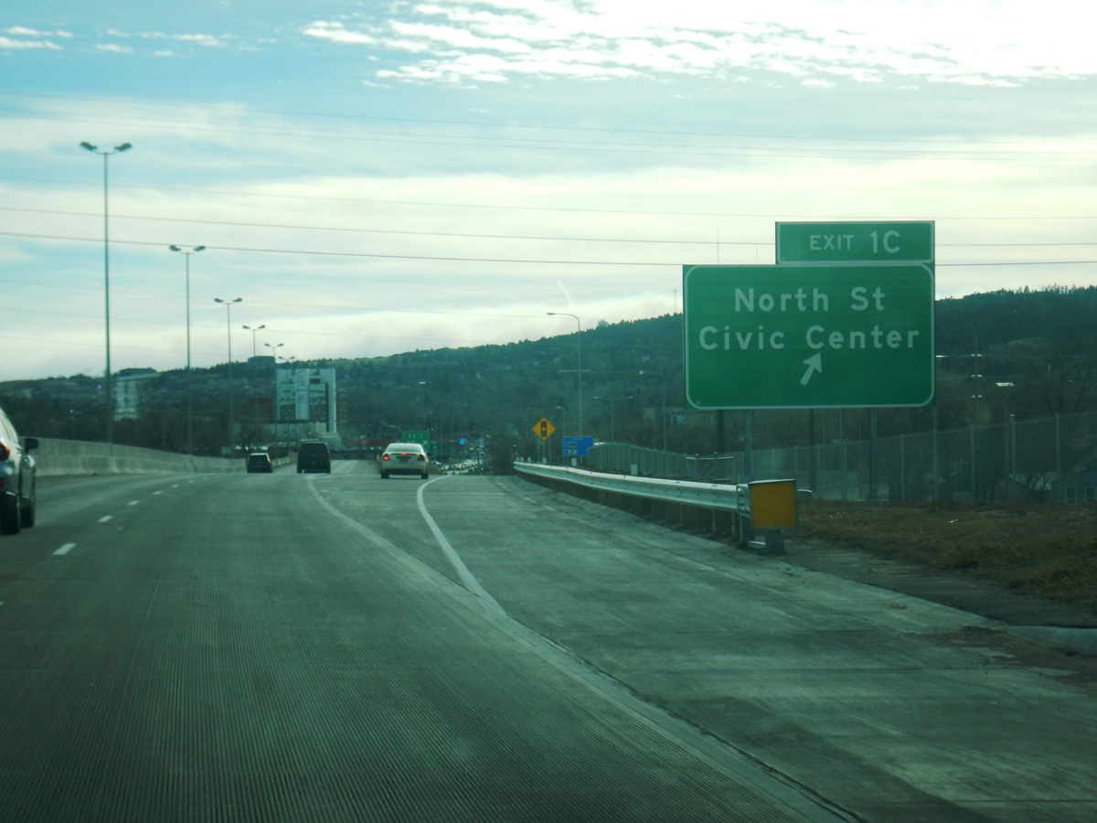
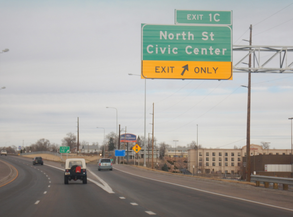
I-190 south / U.S. 16 west lower toward the Anamosa Street overpass and Exit 1C. Nickel Street (formerly West Boulevard) forms a west side frontage road to Silver Street. Photo by Joseph Barnes (12/13/17).
North End – Past Views
Past Views Gallery (Tap to Expand / Collapse Section)
West at
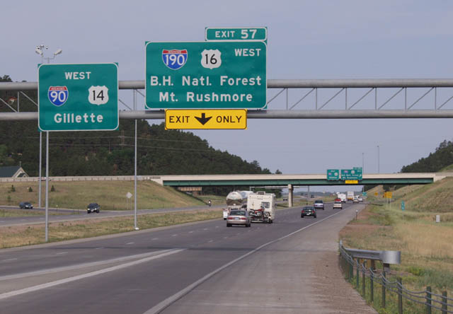
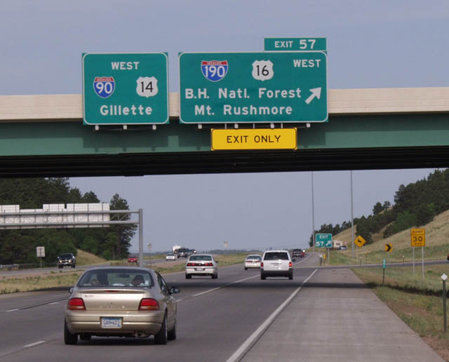
A directional T interchange originally joined I-90 and I-190. The exchange was reconfigured into a trumpet to eliminate left exit ramps along I-90 westbound. Photo by Jay Maynard (07/05/02).
South End  ‐ Rapid City, SD
South West at
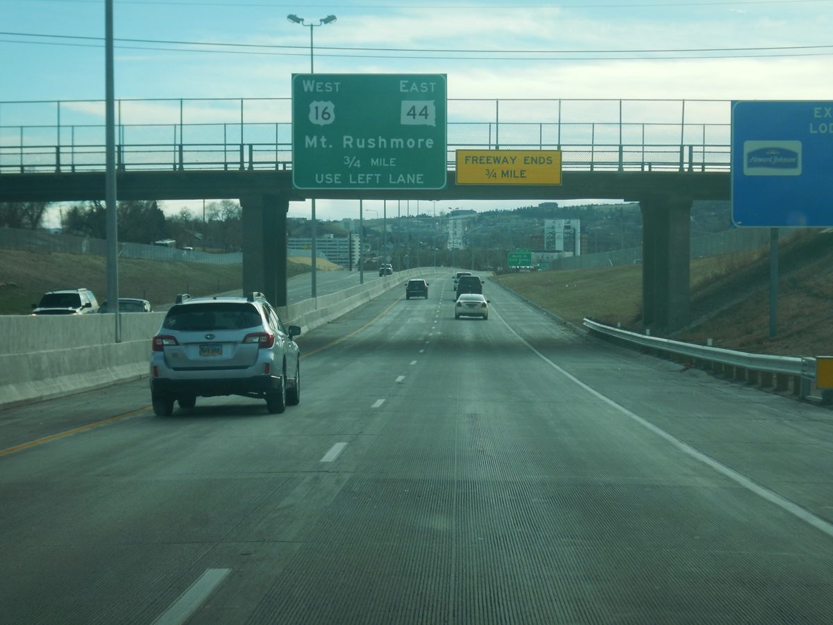
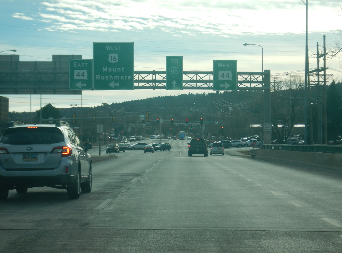
Continuing south from Anamosa Street, I-190/U.S. 16 meet SD 44 (Omaha Street) and West Boulevard in 0.75 miles. Photo by Joseph Barnes (12/13/17).
East West at
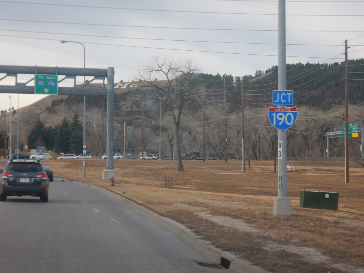
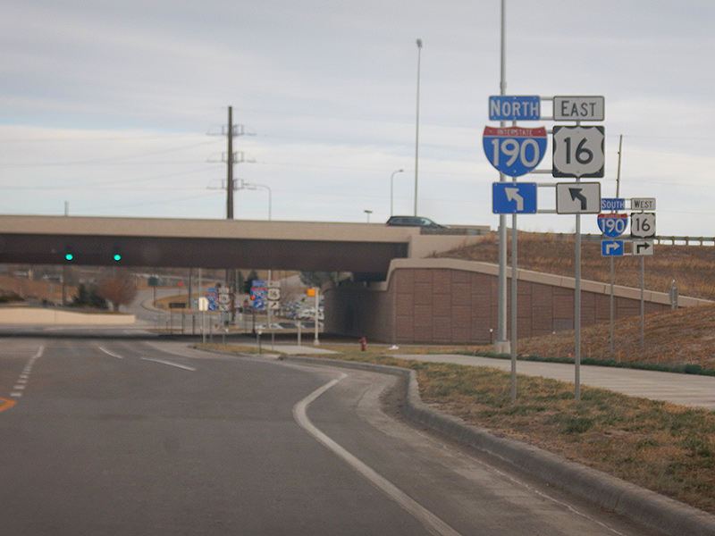
U.S. 16 dog legs along Omaha Street (SD 44) west from Mount Rushmore Road to Interstate 190. Photo by Joseph Barnes (12/13/17).
North East
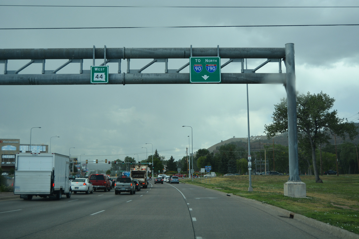
Interstate 190 and U.S. 16 combine at Omaha Street and immediately cross Rapid Creek between Memorial Park and Executive Golf Course. Photo by Joseph Barnes (12/13/17).
South End – Past Views
Past Views Gallery (Tap to Expand / Collapse Section)
South West at
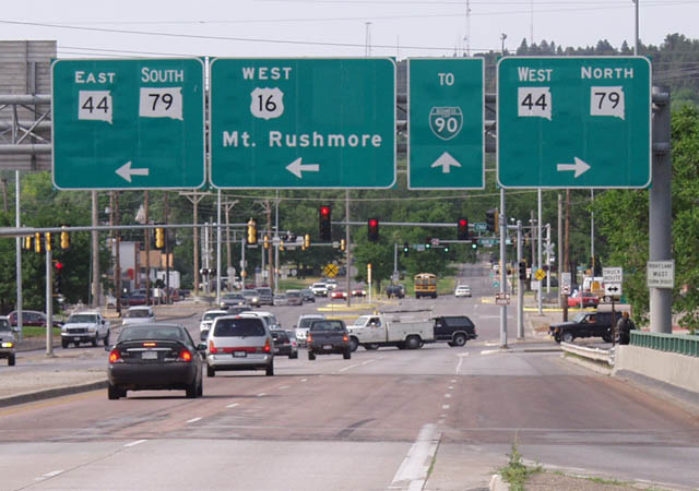
A new sign bridge replaced this assembly at the south end of I-190 when SD 79 was realigned in 2005. The state highway formerly followed a route across the city via Sturgis Road, and Chicago, Omaha and St. Joseph Streets. Photo by Jay Maynard (07/06/02).
East South at
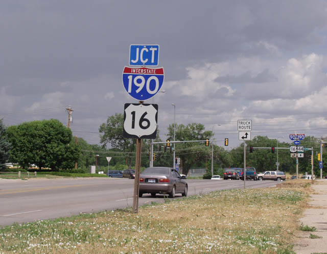
Approaching Interstate 190 and U.S. 16 along SD 44 east / SD 79 south, prior to the 2003-04 expansion of Omaha Street to six lanes. Photo by Jay Maynard (07/06/02).
East West at
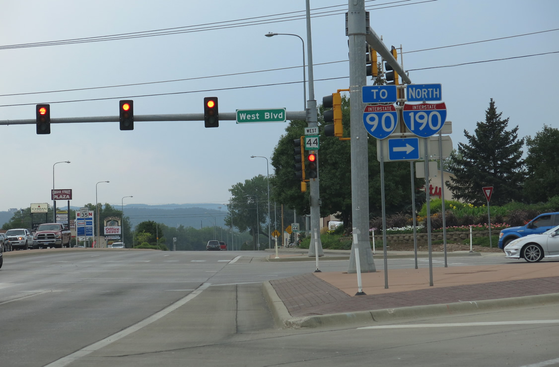
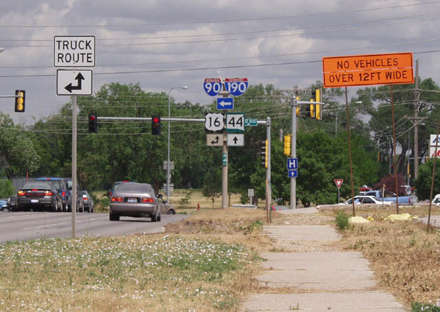
The intersection linking U.S. 16 and SD 44 along Omaha Street with West Boulevard south and Interstate 190 north was reconfigured by 2017 to eliminate this traffic island. 08/12/13.
North East
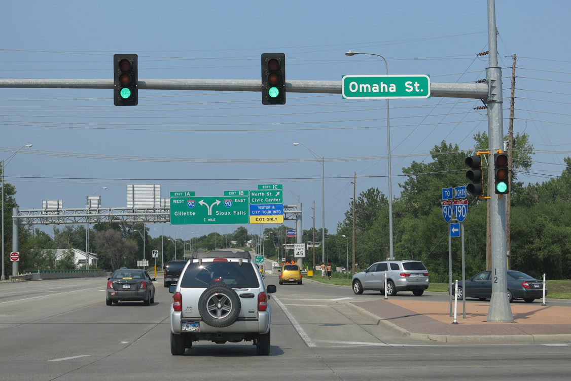
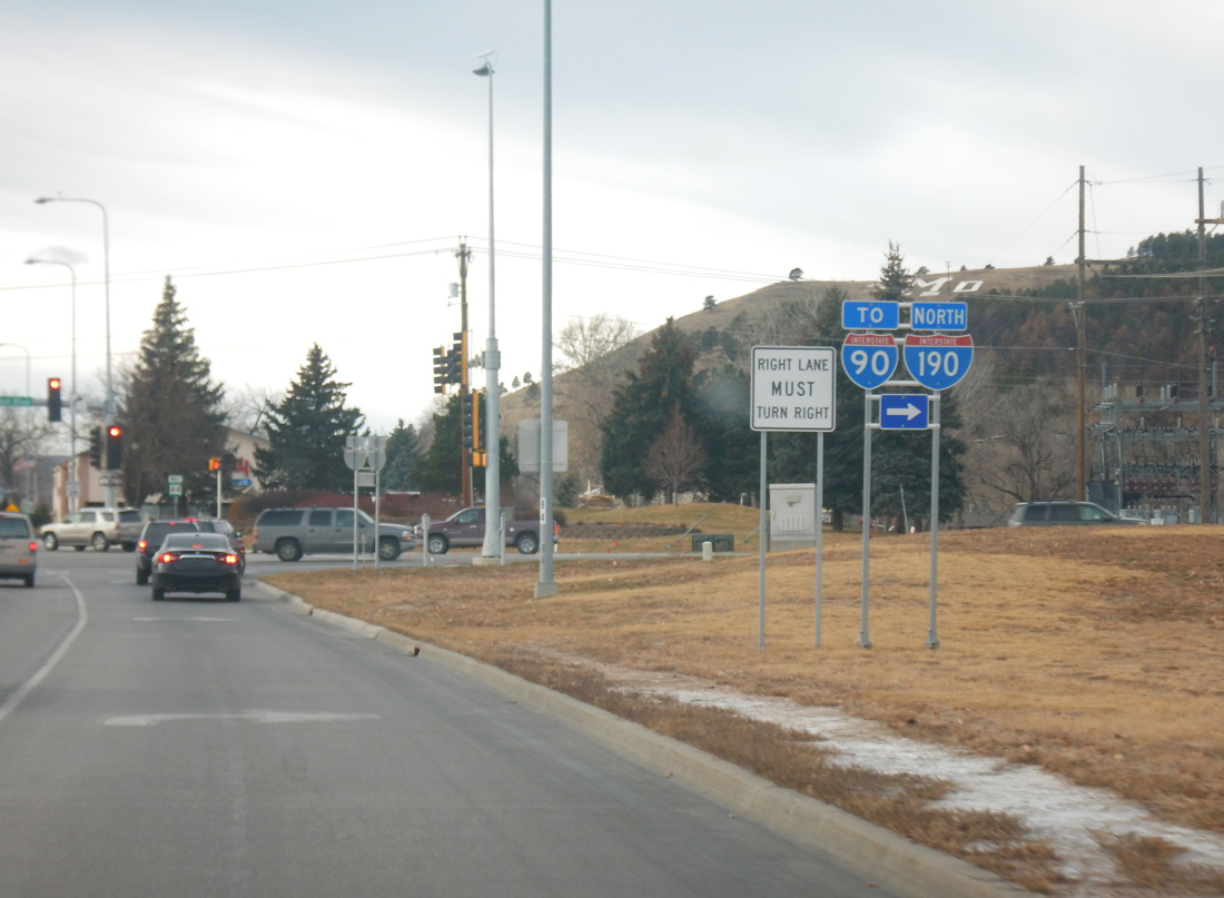
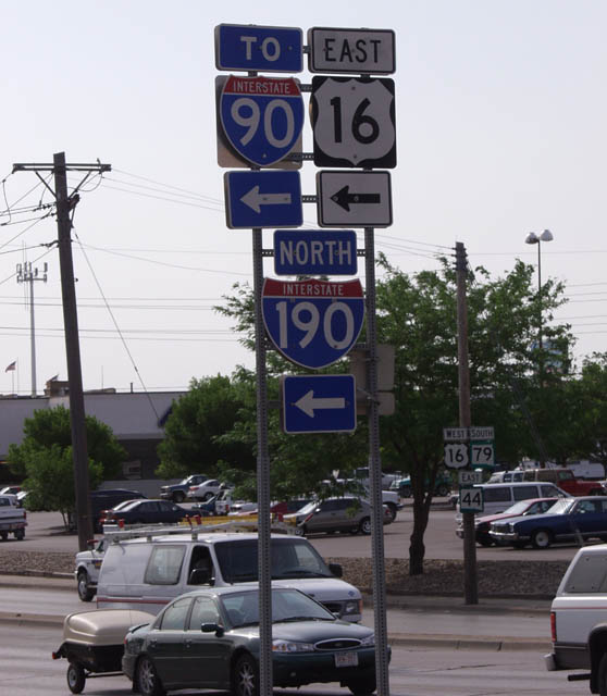
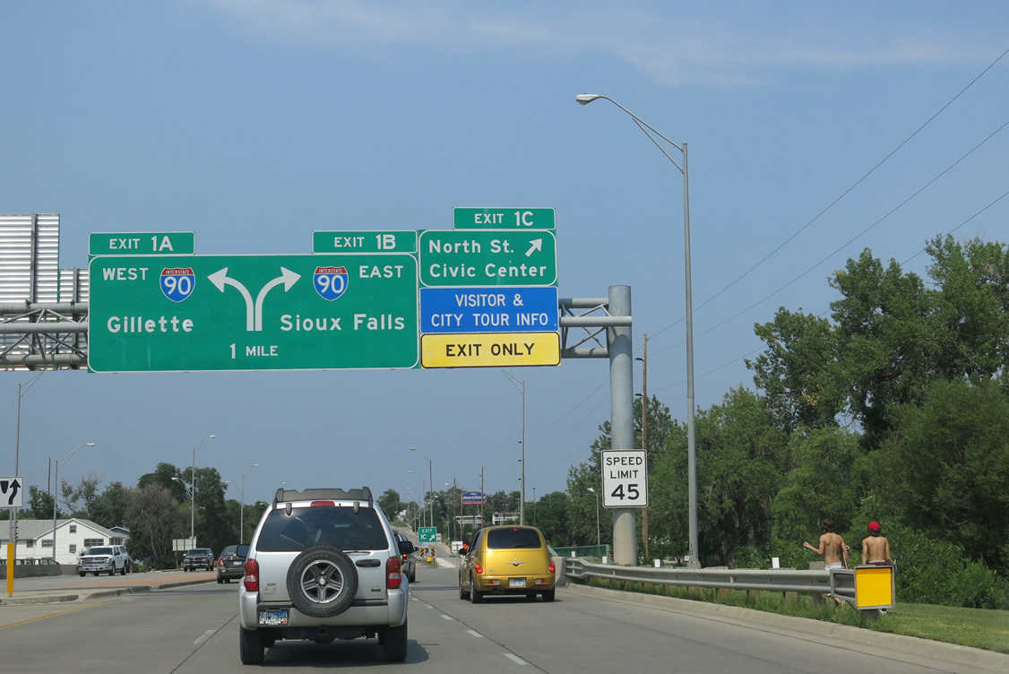
West Boulevard connects Business Loop I-90 (St. Joseph Street east / Main Street west) with the northbound beginning of Interstate 190 directly. The freeway extends north from West Boulevard and Omaha Street (SD 44). 08/12/13
References
- South Dakota Department of Transportation. (June 2016). I-190/Silver Street Interchange Project. [Newsletter].
- Geelhart, C. Highways 101 to 200. The South Dakota Highways Page. Retrieved from http://www.dm.net/~chris-g/sd100up.html
- South Dakota Department of Transportation. (2004, July 1). Omaha Street to Open Ahead of Schedule. [Press release].
- South Dakota Department of Transportation. (September 2017). I-190/Silver Street Interchange Project Newsletter. [Newsletter].