
Interstate 189 Vermont
Overview
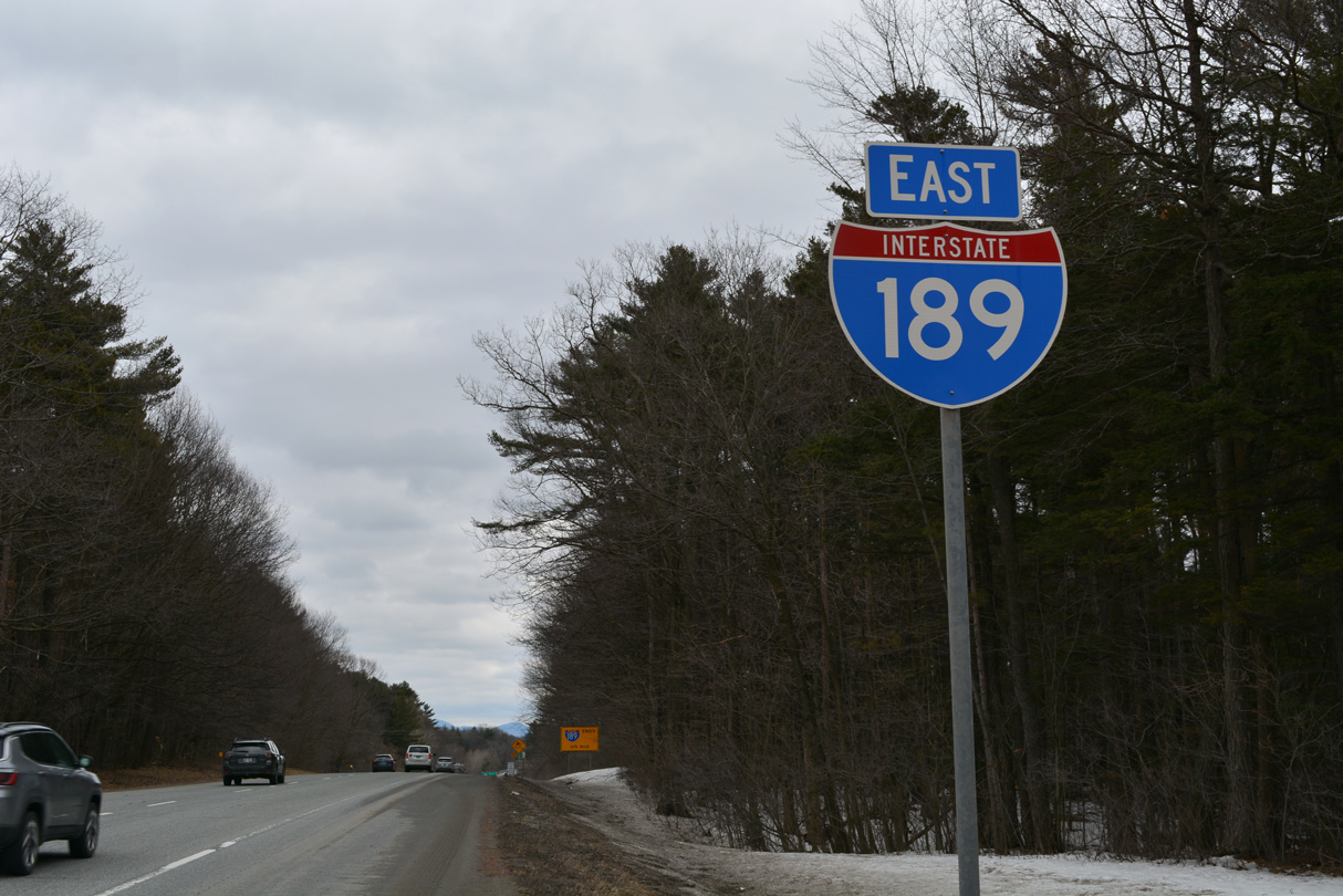
Interstate 189 is the lone branch route for I-89. The freeway spur connects U.S. 7 (Shelburne Road) with Interstate 89, Dorsett Street and Kennedy Drive north to Burlington International Airport (BTV).
Mileage by State
| Vermont | 1.49 mi |
Data Sources
December 31, 2021 Interstate Route Log and Finders List
History
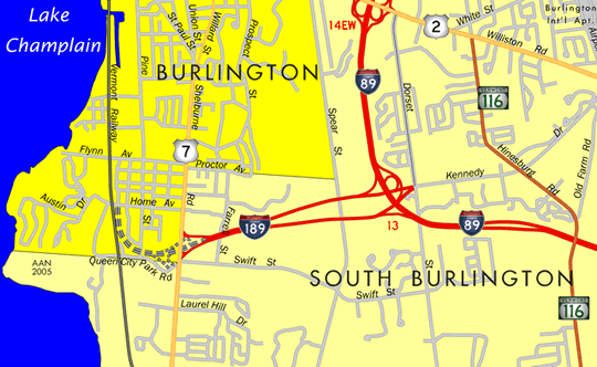
The Vermont Department of Highways initially suggested to the American Association of State Highway Officials (AASHO) on April 15, 1958 that the spur into Burlington be numbered SP 89. A map sent to AASHO showed a spur drawn west from I-89 near Patchen Road west to U.S. 2/7 (Riverside Avenue) near the Winooski River. A subsequent letter to AASHO on April 18, 1958 suggested that the spur be unnumbered:
For route numbering purposes, so far as motorists are concerned, we do not think it should have a separate number. Traffic destined for the interstate should be guided by trail blazer assemblies, while traffic leaving the interstate would follow guide signs into the city. We realize, of course, that a somewhat different situation would exist in connection with loops and through routes.
Per instructions from AASHO, Vermont submitted Interstate 189 as the proposed numbering on August 29, 1958. AASHO approved it on November 10, 1958.
Interstate 189 opened to traffic from I-89 west to U.S. 7 on November 29, 1962. The freeway was originally planned to connect with the Burlington Belt Line Highway as part of the 1965 Greater Burlington Urban Area Highway Plan. Serving industrial areas and Downtown Burlington, the Belt Line was proposed south from Burlington to U.S. 7 and north along the Lake Champlain waterfront. Northern reaches of the expressway extended along Winooksi Valley Parkway (Vermont 127) toward the Colchester town line. Despite right of way acquisition already made, plans for the expressway succumbed to adamant neighborhood opposition and a resurgence in the city economy. They were subsequently cancelled.
Southern Connector
The Southern Connector was proposed as a four lane boulevard by a consultant for the city of Burlington in 1974. Generally following the former Belt Line route north from I-189 and U.S. 7 to Pine Street at Flynn Avenue, the Southern Connector also outlined expanding Pine Street north to Pine Place, where it would shift northwest to connect with Battery Street in the Central Business District.1
An Environmental Impact Statement (EIS) was prepared for the Southern Connector starting in 1976. Subsurface geotechnical borings in the vicinity of the Pine Street Barge Canal recorded in the 1977 DEIS revealed soil contaminated with oil along the projected right of way. Coal gasification waste was also recorded during project development. The Pine Street Barge Canal area was subsequently included in the Environnmental Protection Agency (EPA) National Priorities List (NPL) of hazardous waste sites. It was identified as the Pine Street Barge Canal Superfund Site in October 1981.1
The Final EIS (FEIS) for the Southern Connector was completed in July 1979 and approved by the Federal Highway Administration (FHWA). The Selected Alternative included a half mile long segment of roadway (Section C-1). Section C-1 was constructed in the late 1980s northwest from the I-189/U.S. 7 exchange across Pine Street to Home Avenue in the South End neighborhood of Burlington. Work on Section C-2 (Home Avenue to Lakeside Avenue) and C-8 (Lakeside Avenue to Battery Street) never broke ground due to the Pine Street Barge Canal Superfund Site.1
Studies in the late 1980s looked at route alternatives that would bypass the Pine Street Barge Canal Superfund Site. The project was rebranded Champlain Parkway by Burlington City Council in the 1990s. A Supplemental Environmental Impact Statement (SEIS) was conducted by the Vermont Agency of Transportation (VTrans) and FHWA from January 1995 to February 1997. It selected a preferred interim alternative that avoided the superfund site. FHWA issued a Record of Decision (ROD) on the Selected Alternative in August 1997.1
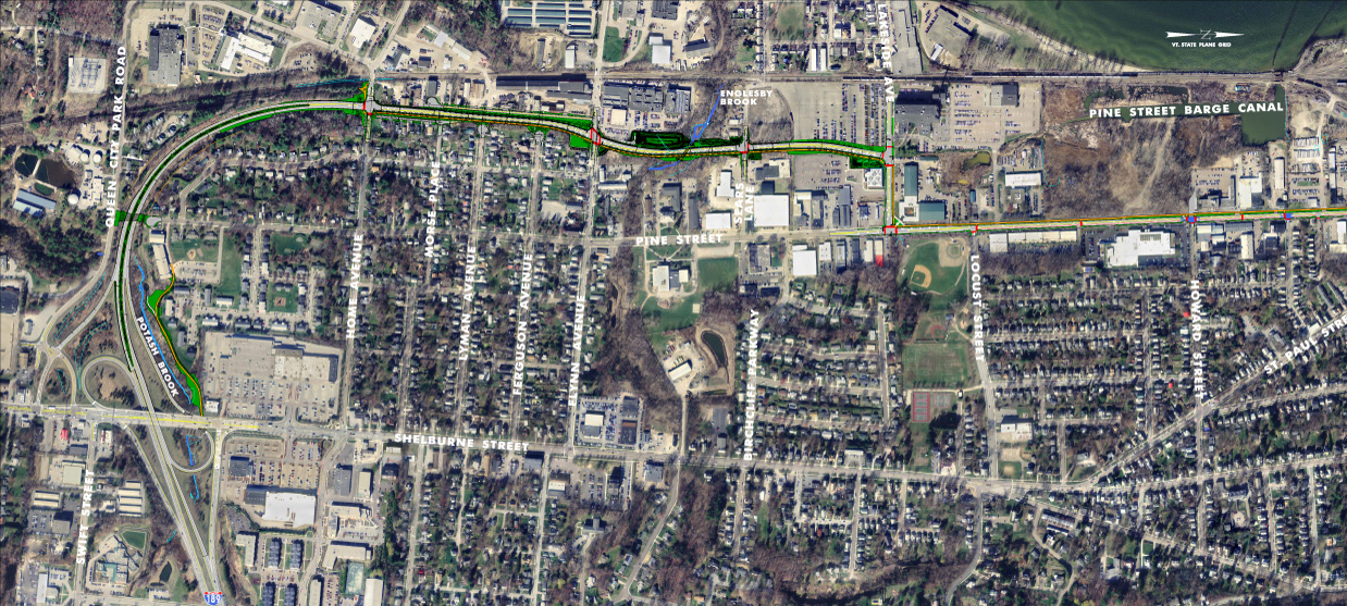
Envisioned to provide traffic relief between the City Center District (CCD) and South Burlington, construction on Champlain Parkway was pushed back from a potential late 2019 start date while a Limited Scope Draft Supplemental Environmental Impact Statement (LS DSEIS) was completed. FHWA eventually issued a Record of Decision (ROD) for the project on January 20, 2022. Burlington City Council approved construction contract award on April 15, 2022. 95% of the funding for the $45 million project is covered by the federal government with another 3% by the state of Vermont. The city covers the rest of the South End Construction Coordination Plan (SECCP).3
The two lane, at-grade roadway will run north from Home Avenue over Batchelder and Briggs Streets to Flynn Avenue, then follow a new terrain alignment to Lakeside Avenue.2 The first phase of construction started in July 2022 and runs to 2024. It makes improvements between Home Avenue and Kilburn Street. Planned for 2025 through 2027, the second phase of the SECCP constructed Champlain Parkway from I-189 to Home Avenue, with upgrades along Pine Street from Kilburn Street to Main Street following.3
Champlain Parkway was completed between Home Avenue and Lakeside Avenue in December 2024. The remainder of the parkway south to the exchange joining I-189 and U.S. 7 fully opened to traffic on June 30, 2026.
East End  / Dorset St and Kennedy Dr ‐ South Burlington, VT
 East at
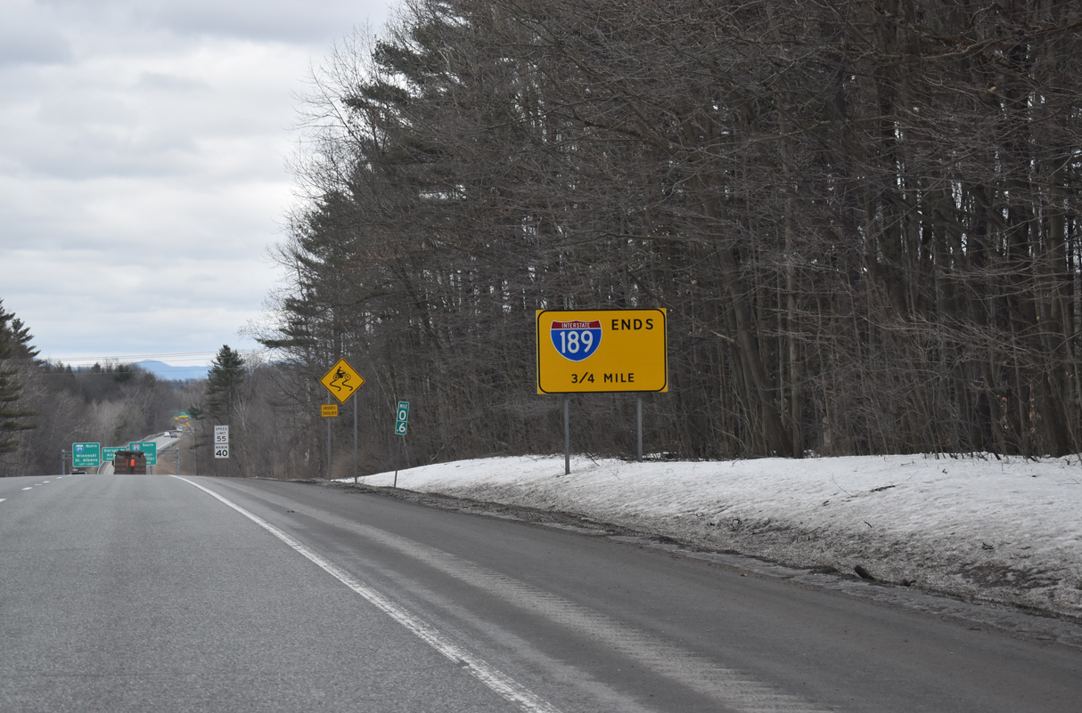
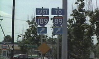
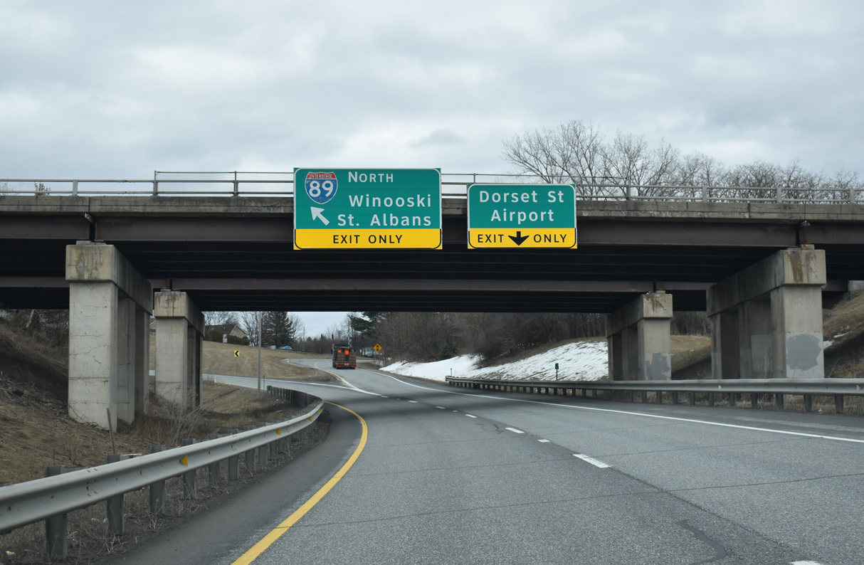
Interstate 189 concludes eastbound at a modified trumpet interchange with I-89 in three quarters of a mile. 03/24/23
South at
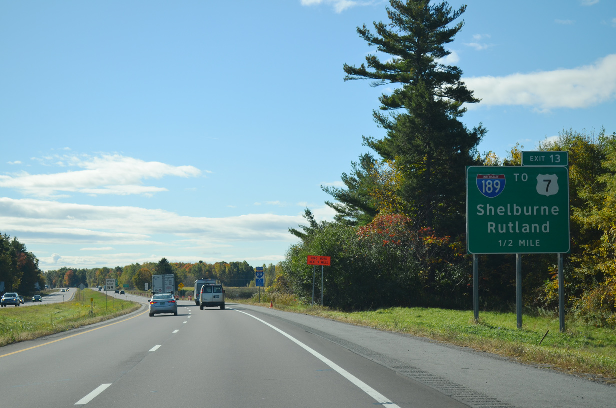
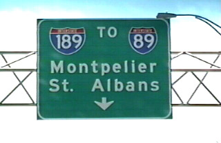
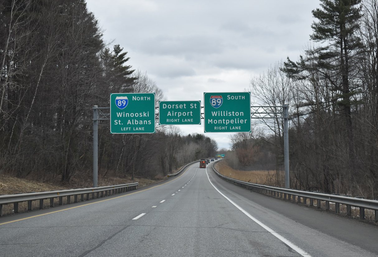
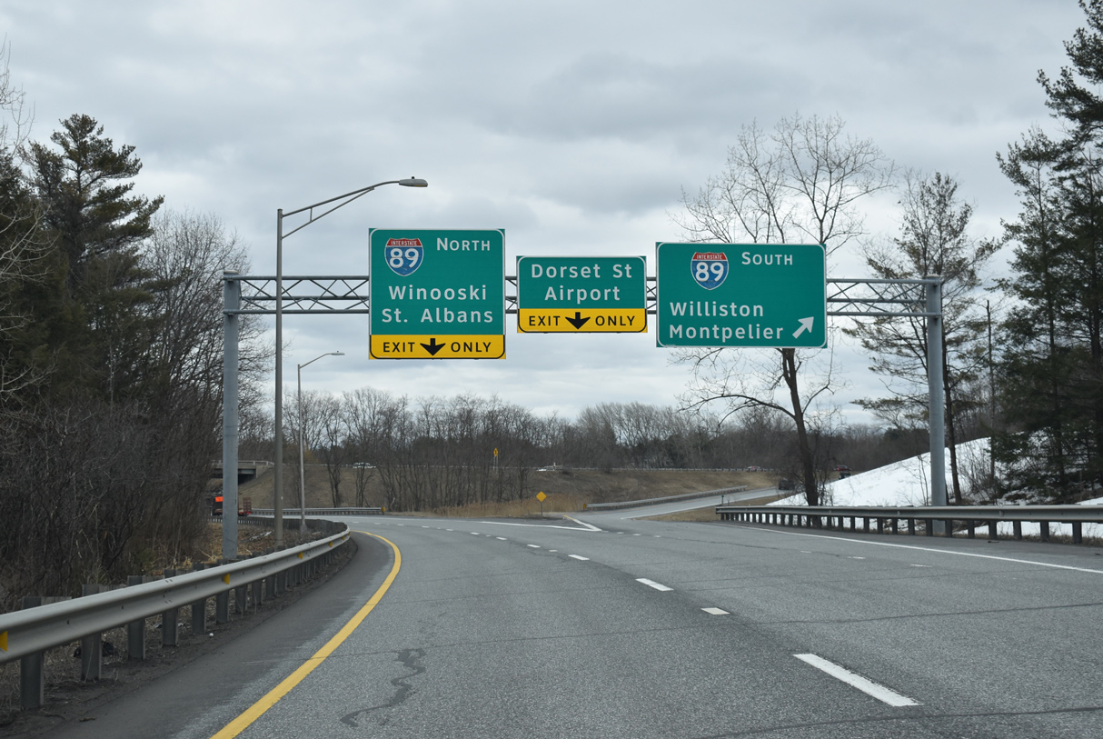
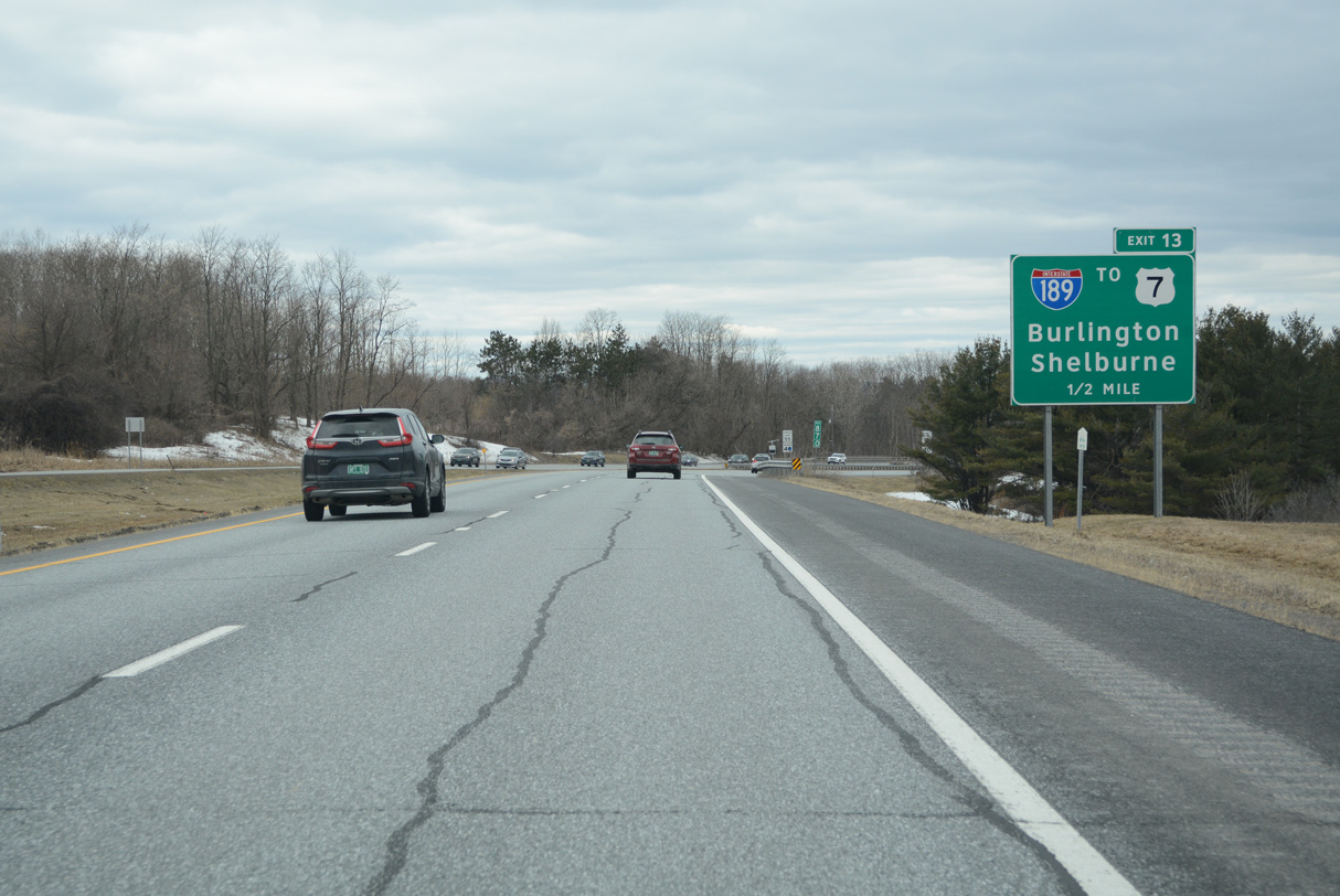
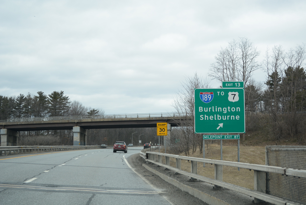
I-89 advances south from a cloverleaf interchange (Exit 14) with U.S. 2 (Main Street) to Interstate 189 at Exit 13. I-189 west to U.S. 7 leads to the suburb of Shelburne, Middlebury and Rutland. 10/10/14
North at
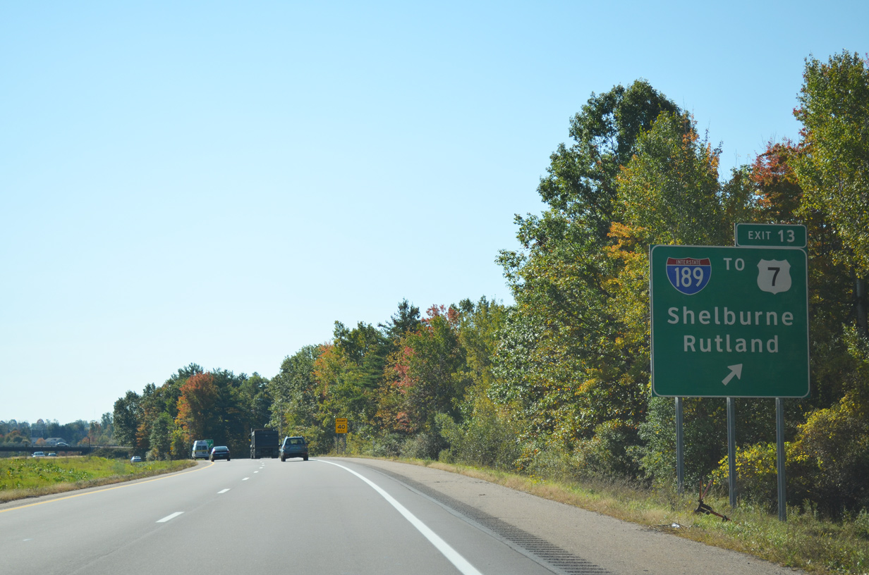
I-89 travels westward across the Williston and the city of South Burlington to the exchange (Exit 13 / Milepoint Exit 87) with I-189. 03/24/23
East End – Past Views
Past Views Gallery (Tap to Expand / Collapse Section)
North at
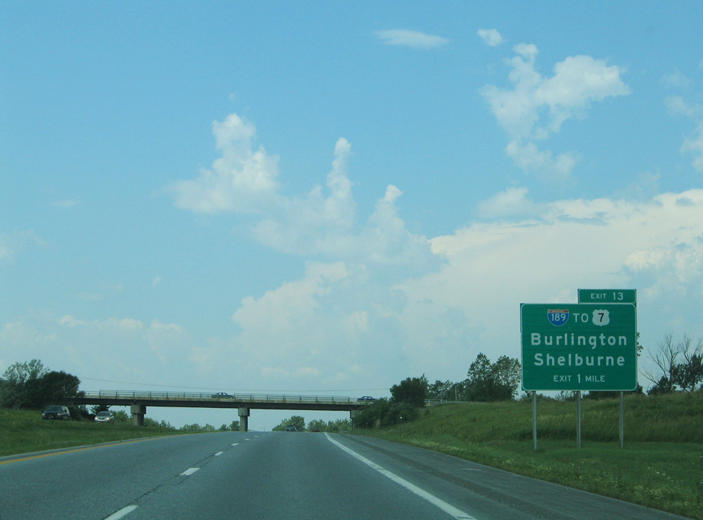
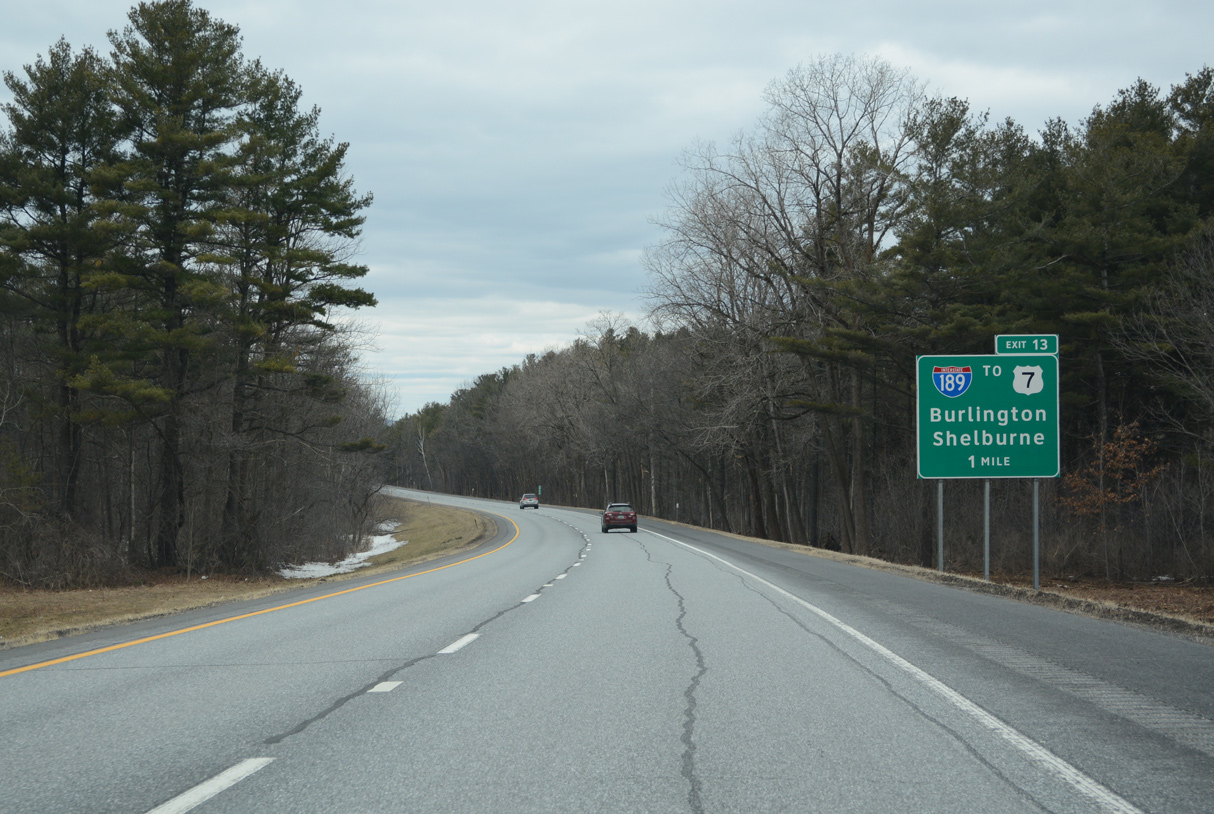
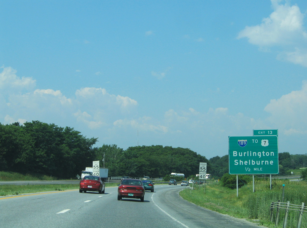
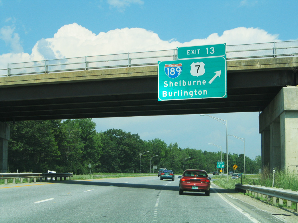
The one mile sign for I-189 / Exit 13 was relocated to a point west of the VT 116 (Hinesburg Road) overpass. 07/22/05
West End  ‐ Burlington, VT
West at Champlain Pkwy
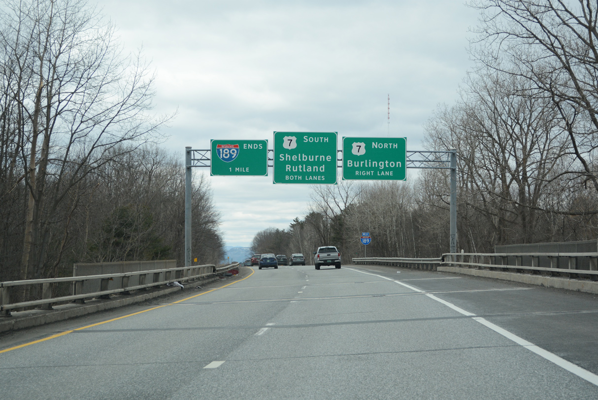
A wide median separates the roadways of Interstate 189 leading away from I-89 and Kennedy Drive. There are no exits westbound ahead of the ramp to U.S. 7 (Shelbourne Street). 03/31/23
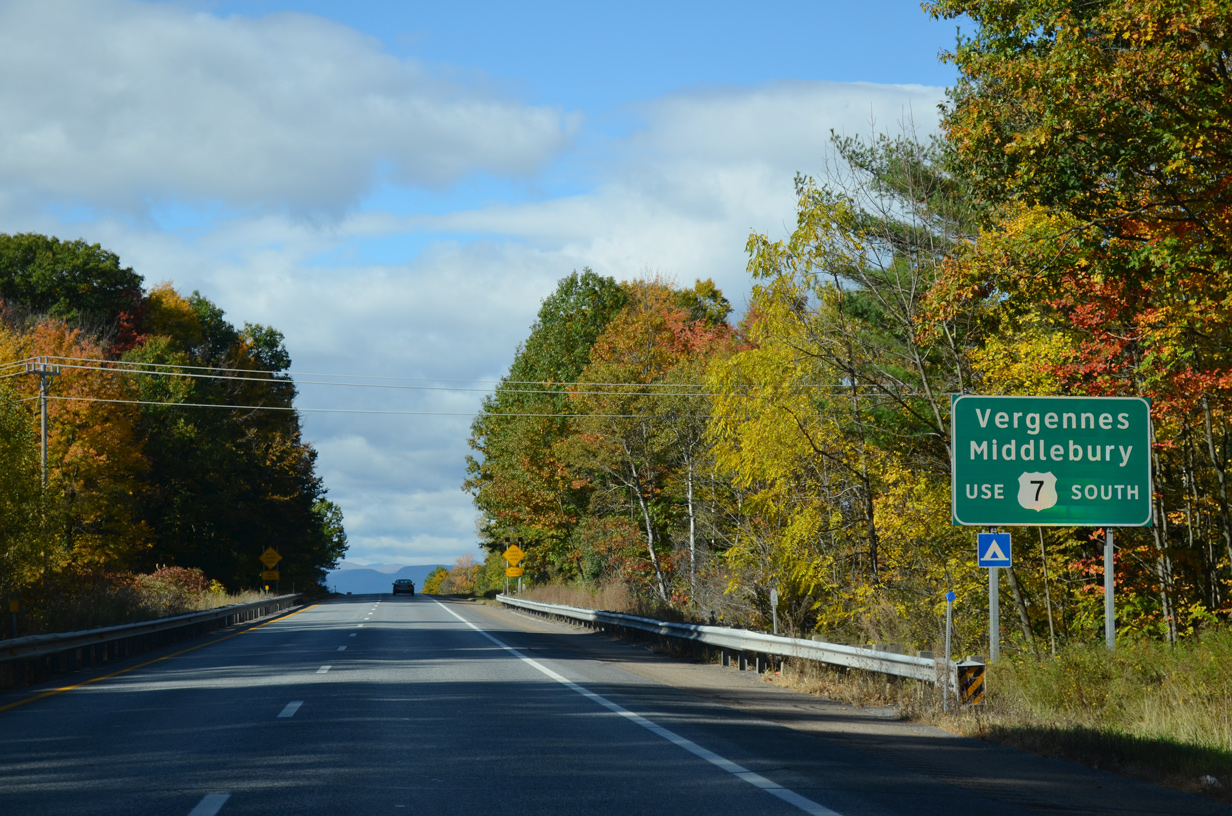
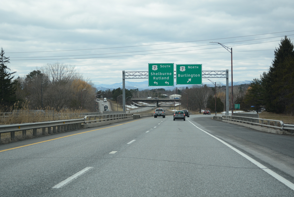
North at
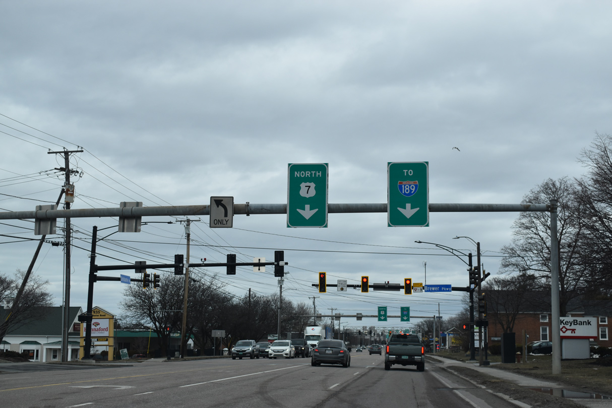
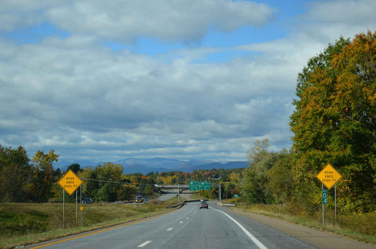
The second in a series of overheads for the upcoming exchange joining U.S. 7 (Shelburne Road) north with Interstate 189 east. 03/24/23
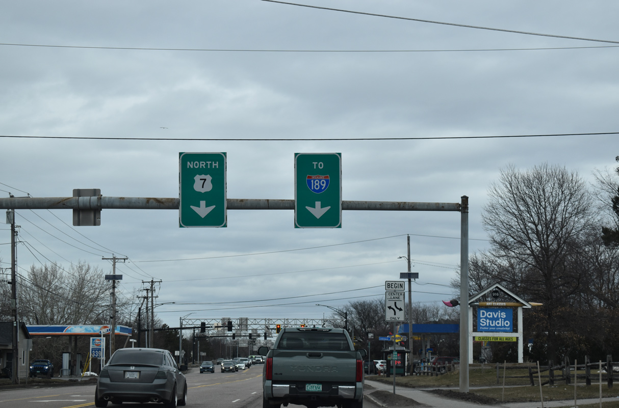
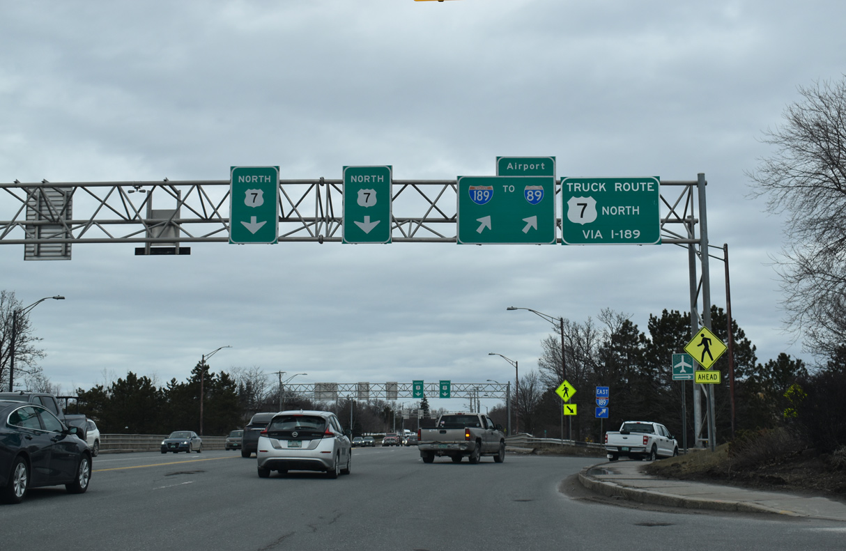
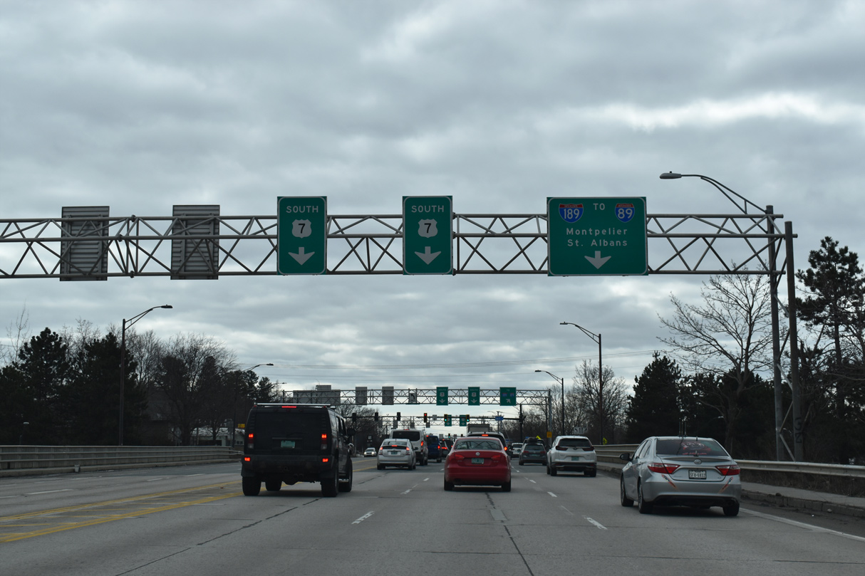
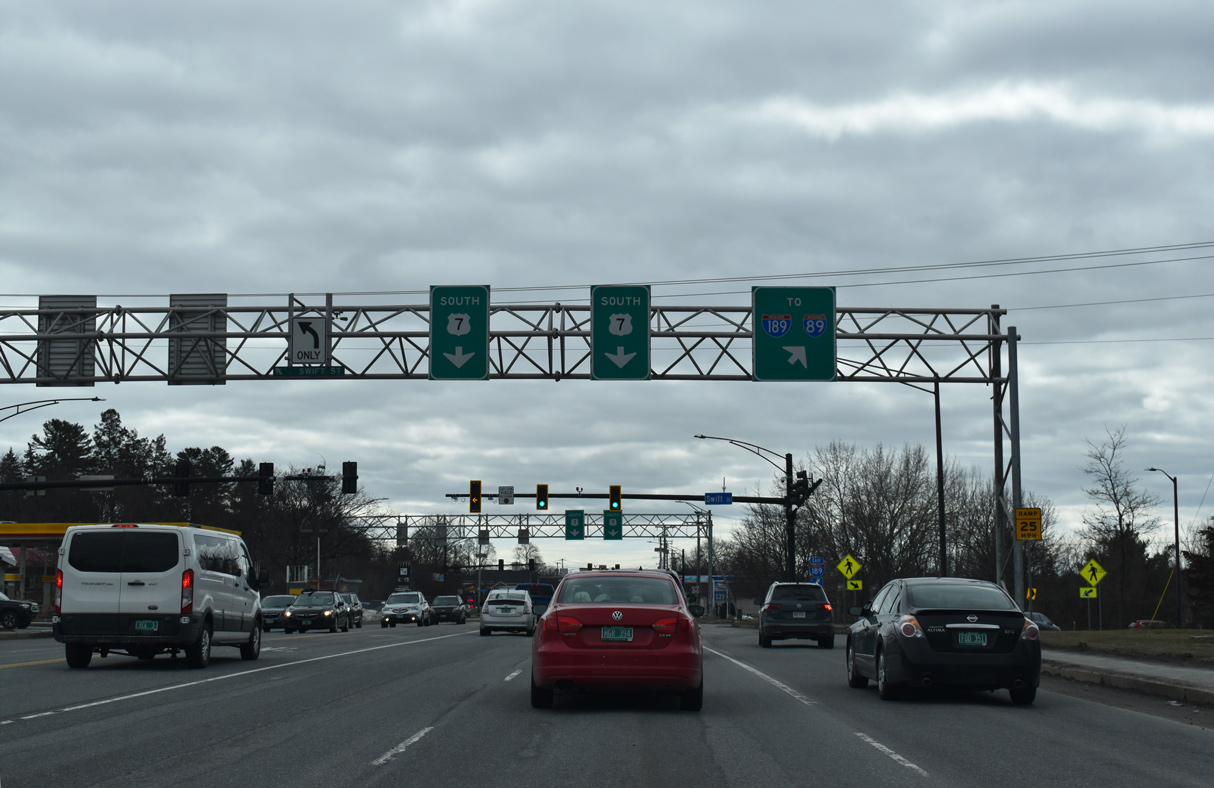
South at
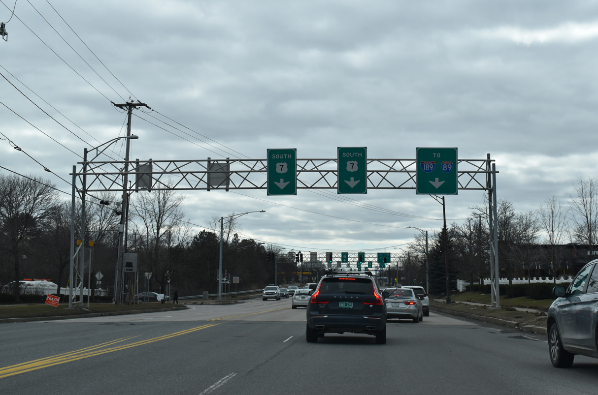
U.S. 7 (Shelburne Street) passes between a pair of retail plazas from Home Avenue south to the parclo interchange with Interstate 189 east. 03/24/23
References
- City of Burlington. Champlain Parkway - Project History. Retrieved from http://www.champlainparkway.com/history
- Ferraro, N. (2019, January 5). Champlain Parkway construction could begin this year. WCAX. Retrieved from https://www.wcax.com/content/news/Champlain-Parkway-construction-could-begin-this-year-503952441.html
- City of Burlington. (2022, April 25). After 35 Years of Project Limbo, Administration Secures Unanimous Council Support to Execute $45 Million Champlain Parkway Construction Contract. [Press release]. Retrieved from https://www.burlingtonvt.gov/Press/after-35-years-of-project-limbo-administration-secures-unanimous-council-support-to-execute-45