
Interstate 185 South Carolina
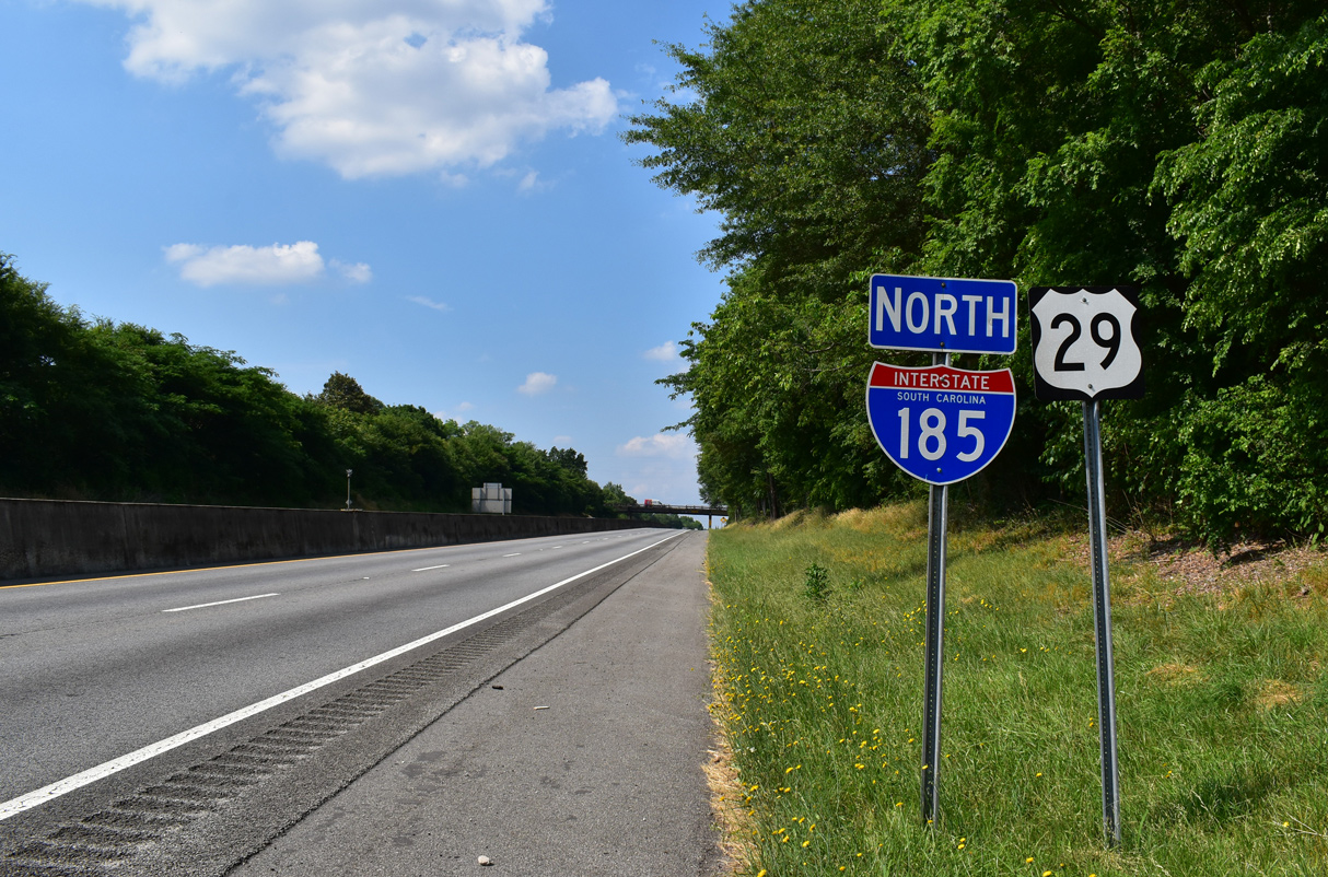
Overview
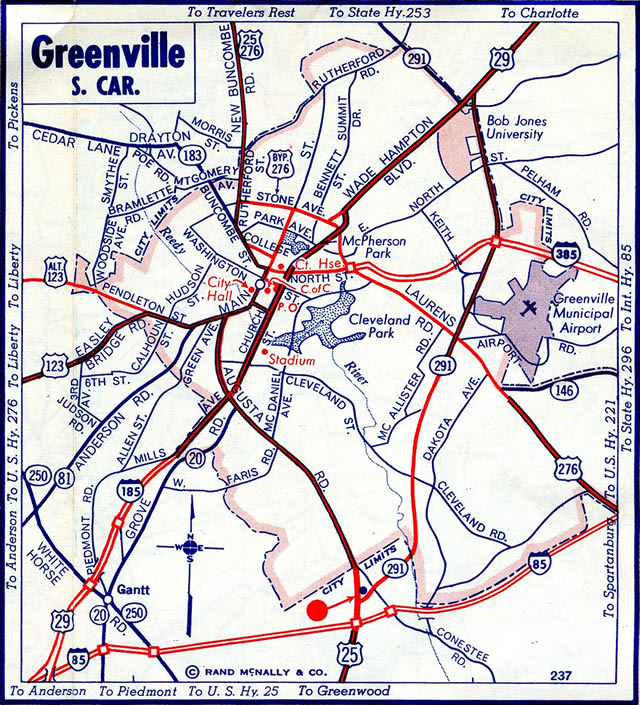
Originally, Interstate 185 was commissioned as a 3.00 mile long spur extending north from I-85 to Mills Avenue (U.S. 29) at Dunean, just outside the Greenville city limits. The route was eventually extended south and east along the Southern Connector toll road through south Greenville County and Mauldin.
The Southern Connector includes two main line toll plazas and four interchanges. The plazas accommodate four overall lanes in each direction, including one Palmetto Pass lane, one exact change lane and two cash lanes. Exits along Interstate 185 are as follows:1
- Exit 1 - Interstate 385
- East Toll Plaza
- Exit 4 - Fork Shoals Road
- Exit 7 A B - U.S. 25 / Augusta Rd
- West Toll Plaza
- Exit 10 - S.C. 20 / Piedmont Hwy
- Exit 12 - S.C. 153
- Exit 14 - Interstate 85
- Exit 15 - northbound only - U.S. 25 / White Horse Road
- Exit 16 - S.C. 20 TO U.S. 25 - Piedmont
Mileage by State
| South Carolina | 17.70 mi |
Data Sources
December 31, 2021 Interstate Route Log and Finders List
History
Church Street was extended southward to Interstate 185 during the 1950s when the freeway spur was constructed.2 Per the 1957 USGS Topo map of Greenville, the freeway was constructed initially as a new alignment of U.S. 29, with U.S. 29 Bypass routed along what would later become Interstate 85. The wye interchange at the south end of I-85 was expanded by February 1999 to include full access between the two freeways.
A beltway for the Greenville area was envisioned by Greenville County planners in 1967.3,6 Designated the Southern Connector, the route gained traction when a state circuit judge ruled against local opposition on the project in February 1997.3 The state Supreme Court then upheld that ruling in early August 1997, allowing property acquisition of 152 parcels of land, including 33 homes and six businesses.4 Coinciding with the Southern Connector work was the issuance of $17.5 million in general obligation state highway bonds for the extension of S.C. 153 from I-85 east to the new toll road. This occurred in February 1998.5
Construction on the Southern Connector finally broke ground during a ceremony held on February 27, 1998. Estimated to cost $240 million at that time, the 16 mile long road was promoted to open 4,000 acres for business development with an opening date of November 2001.6 Construction on the toll road progressed ahead of schedule with 63% of the project complete by March 2000. This resulted in a nine month forward shift of the completion date.7
The American Association of State Highway and Transportation Officials (AASHTO) Route Numbering subcommittee approved the extension of Interstate 185 from I-85 southeast to I-385 at Mauldin on December 9, 2000. I-185 was initially designated as a future route until the Federal Highway Administration (FHWA) gave approval.
Completion of the route took place on February 27, 2001, with the entire Southern Connector opened to traffic. Tolls commenced operations on March 12, 2001 with $1.50 charged for passenger vehicles traveling the entire length of the route. While owned by the state, the toll road was privately financed through the bond market and was operated by the Connector 2000 Association, Inc.8 Exits numbers along the original I-185 spur to Greenville were renumbered from 1 and 2 to 15 and 16 respectively.
Toll revenue was lower than expected during the first five years of operation, leading to funding shortages for debt repayment. Rates along the Southern Connector initially increased by 50 cents in 2005 to make the debt payments without dipping into reserve funds.9 A subsequent increase took place in 2009 ($2.50 cash rate), but eventually the nonprofit group, the Connector 2000 Association, Inc. filed for Chapter 9 bankruptcy citing traffic counts far below those forecast.10
A third rate hike went into effect on January 3, 2012, when tolls were increased to $3.00 for travel along the entire length of the Southern Connector. An additional toll increase was set at that time for 2016.11
North End  ‐ Greenville, SC
 North at Mills Ave
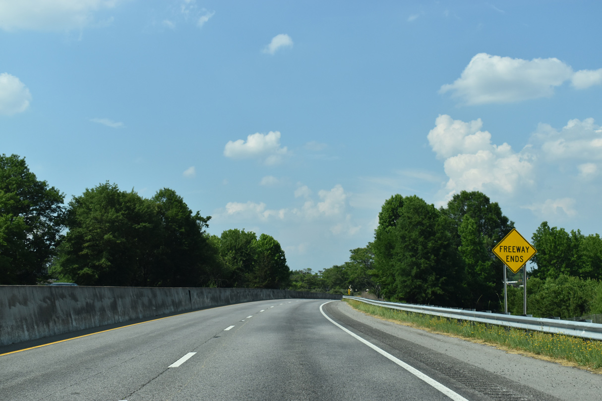
A freeway ends regulatory sign precedes the W Faris Road underpass along I-185/U.S. 29 northbound. The final entrance ramp adds traffic from adjacent S.C. 20 (Grove Road). 05/25/21
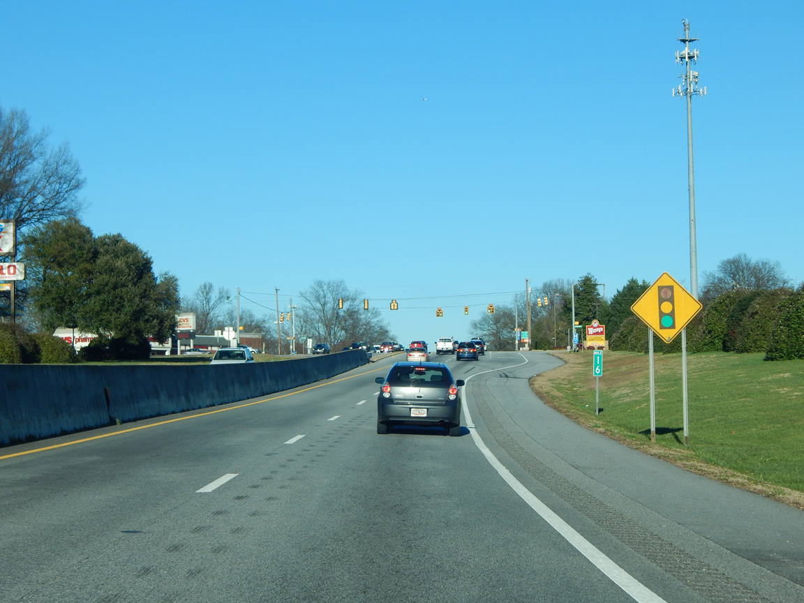
South at
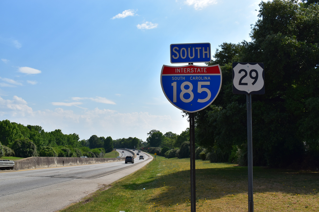
Mills Avenue (U.S. 29) transitions into Interstate 185 adjacent to a shopping center south of Henrydale Avenue. The freeway leads southwest to Exit 16 (S.C. 20) and Exit 15 (U.S. 25). 05/25/21
South End  ‐ Greenville, SC
South at
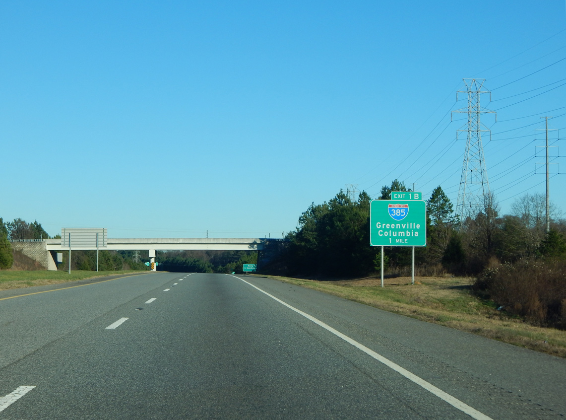
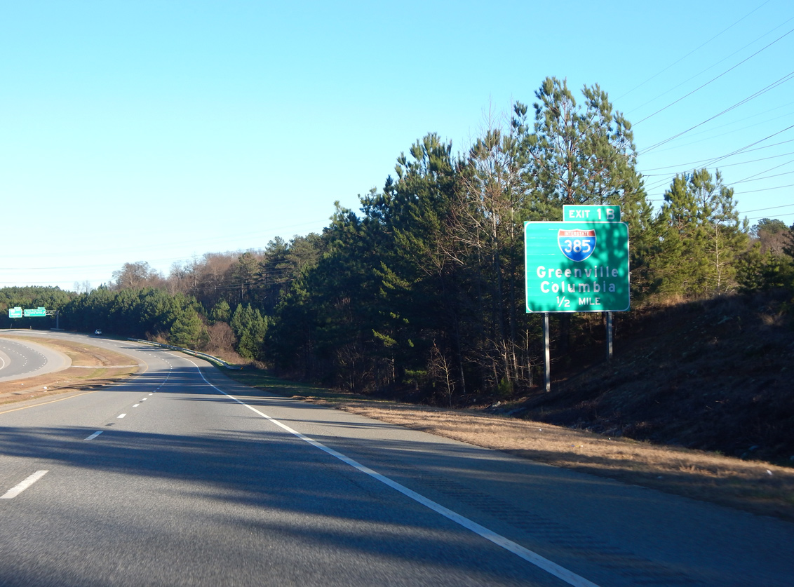
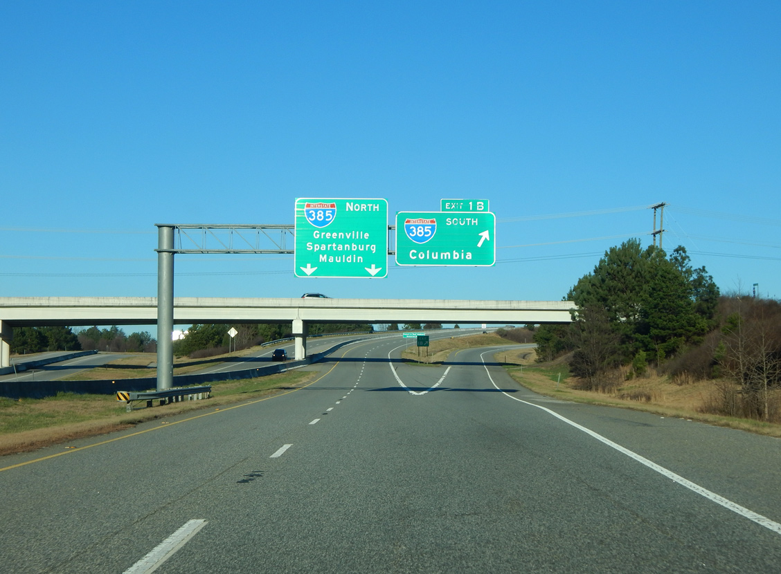
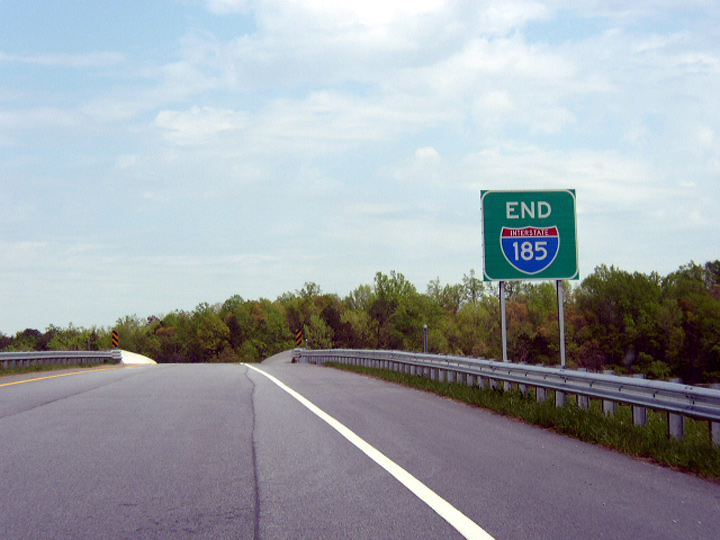
Leaving the second main line toll plaza, Interstate 185 progresses eastward toward Exit 1B with I-385. This stretch remains somewhat rural with some suburban development nearby. Photo by Carter Buchanan (01/13/16).
North at
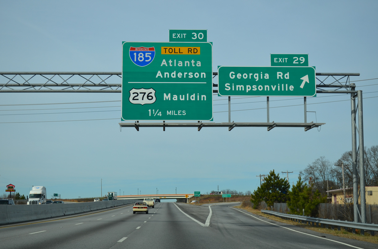
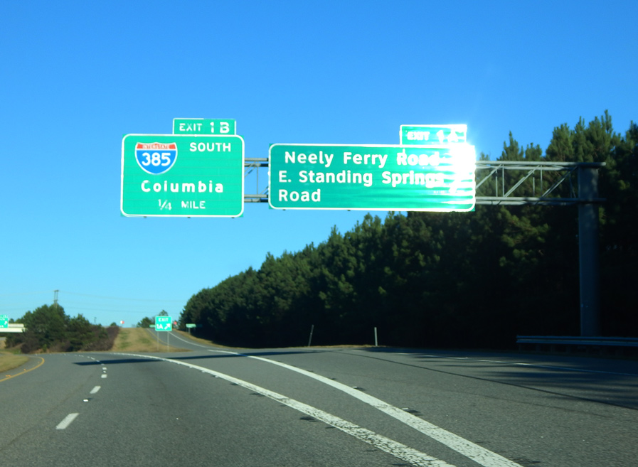
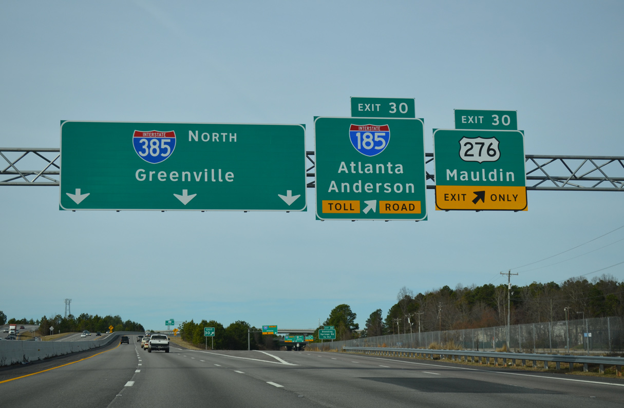
Advancing north from the city of Simpsonville, Interstate 385 approaches Mauldin and the split with U.S. 276 at Exit 30. U.S. 276 begins a two-state route to Cove Creek, North Carolina from I-385 while providing part of the movement to the Southern Connector (I-185) leading west. 12/31/13
South at
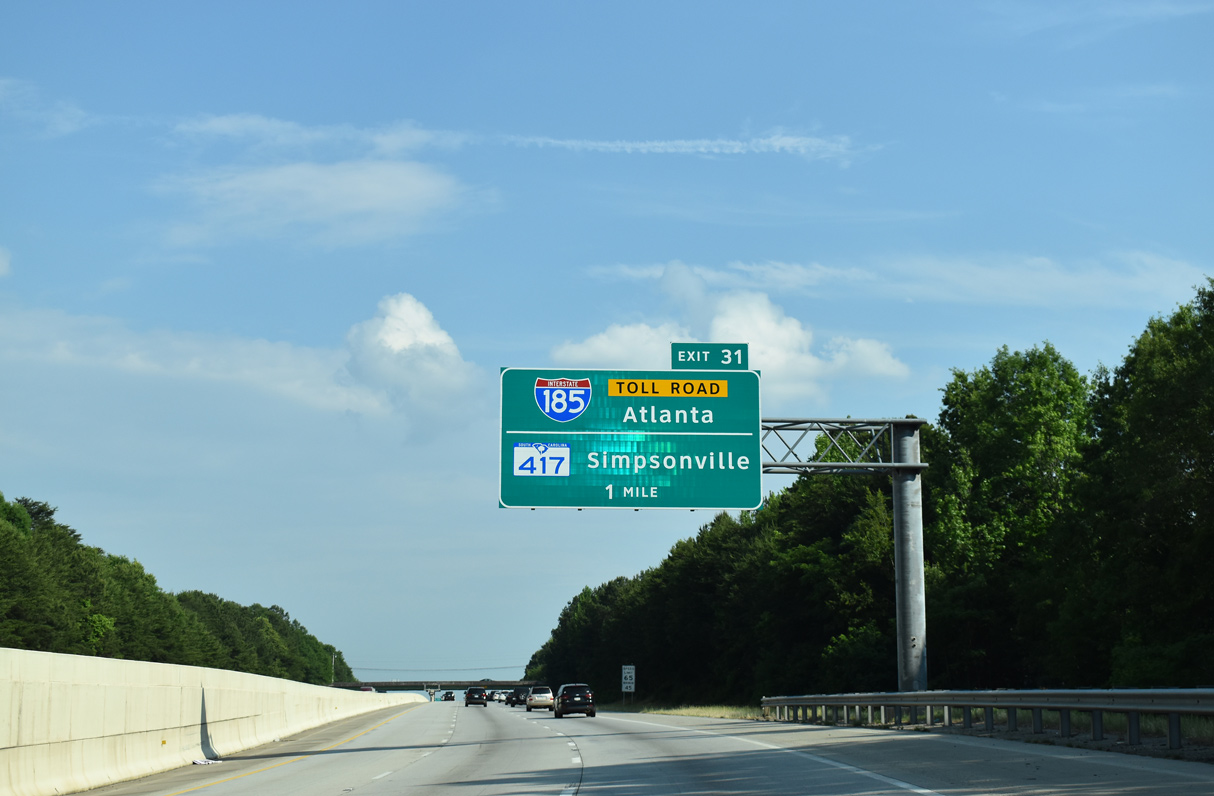
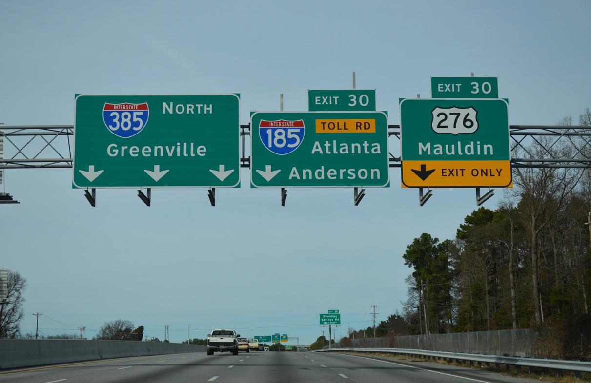
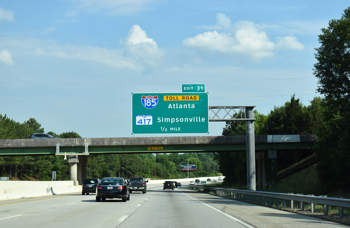
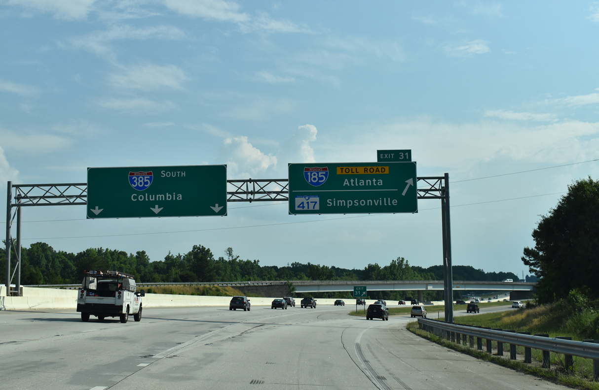
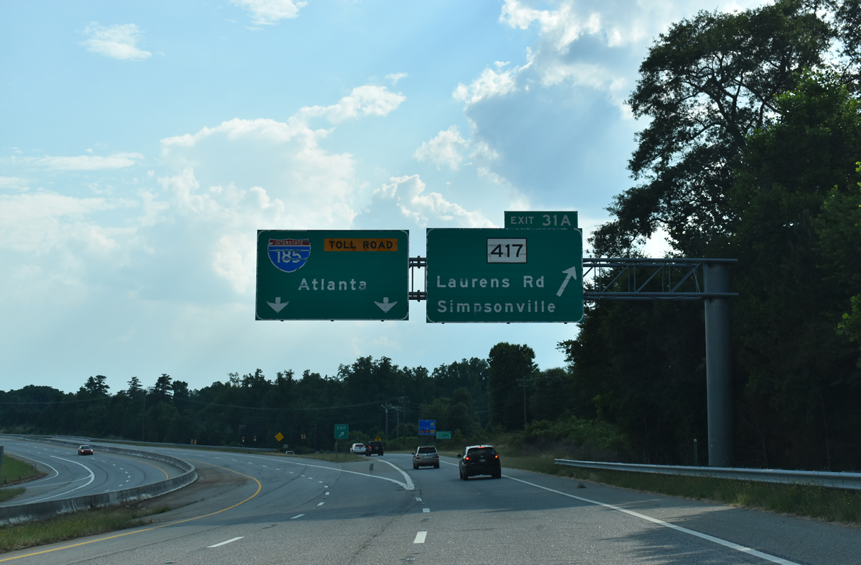
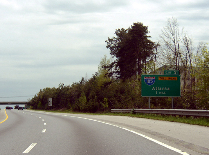
Interstate 385 encircles the east side of Mauldin south to Exit 31 for I-185 (Southern Connector). 05/25/21
South End – Past Views
Past Views Gallery (Tap to Expand / Collapse Section)
South at
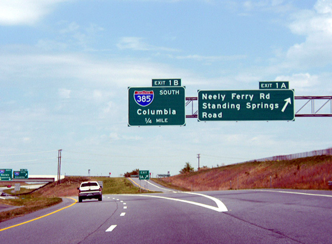
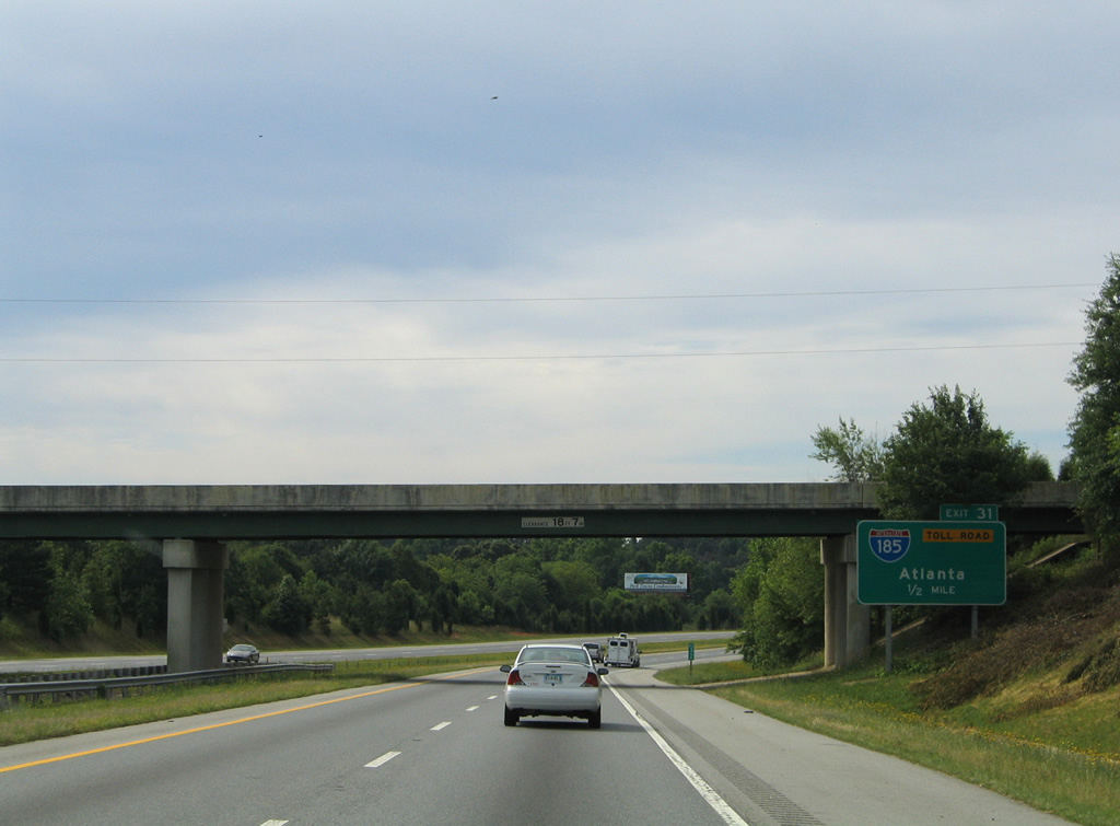
This set of signs posted at Exit 1A for Neely Ferry Road was replaced after 2012. Photo by Chris Patriarca (04/06/03).
South at
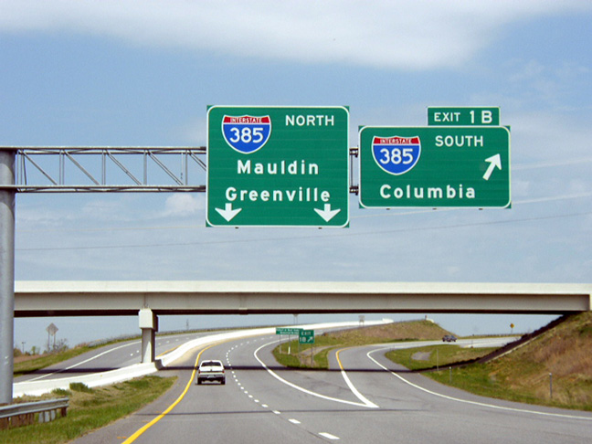
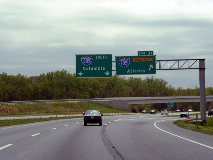
Interstate 385 south at I-185 (Southern Connector) prior to six lane expansion around Mauldin. Photo by Chris Patriarca (04/06/03).
Historic South End  ‐ southwest of Greenville, SC
Past Views Gallery (Tap to Expand / Collapse Section)
South at
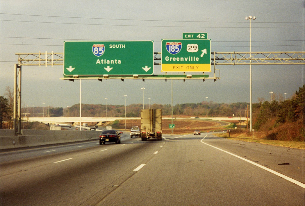
The wye interchange between I-85 and I-185/U.S. 29 was initially expanded to include full access between the two freeways. Provisions were built into the previous design for the eventual Southern Connector. 12/08/99
References
- Buchanan, Carter. "Southern Connector (I-185) officially opened." Online posting, misc.transport.road, February 27, 2002.
- City of Greenville. The History of Greenville. Retrieved from https://www.greenvillesc.gov/DocumentCenter/View/1317/History-of-Greenville-PDF
- "Planned Projects." State, The (Columbia, SC), April 20, 1997.
- "Upstate Toll Road To Take Its Toll." State, The (Columbia, SC), August 11, 1997.
- "State approves $17.5 million for connector." Anderson Independent-Mail (SC), February 11, 1998.
- "Connector construction revs up." Anderson Independent-Mail (SC), February 28, 1998.
- "S.C. Highway To Open Early, On Budget." State, The (Columbia, SC), March 19, 2000.
- "Greenville connector sees brisk traffic." Anderson Independent-Mail (SC), February 28, 2001.
- "Drivers decrease on toll road." Gaffney Ledger, The (SC), January 13, 2006.
- "SC toll road operator files for bankruptcy." Herald-Journal (Spartanburg, SC), June 24, 2010.
- "Tolls rise on Southern Connector near Greenville." Associated Press State Wire: South Carolina (SC), January 3, 2012.