Interstate 110 Louisiana
Overview
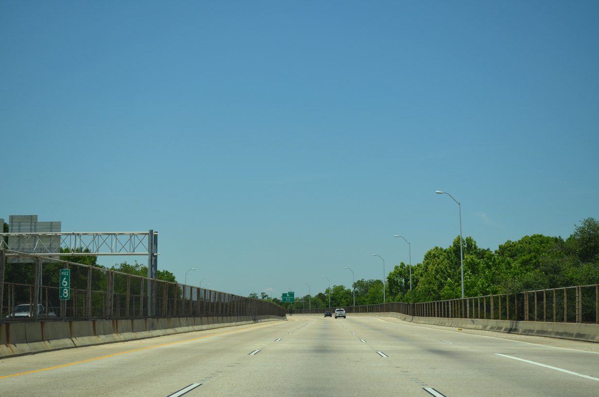
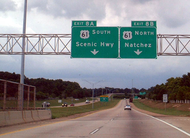
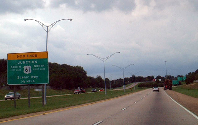
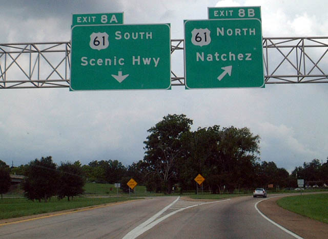
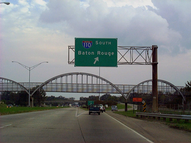
Interstate 110 winds north through Baton Rouge, joining I-10 with Downtown, the State Capitol and Baton Rouge Metropolitan Airport (BTR). The urban spur provides a high speed route to U.S. 61 (Scenic Highway) leading north from Scotlandville in north Baton Rouge to southern Mississippi. The freeway carries six lanes north to LA 19 (Scotland Avenue) and four lanes on the western leg to Scenic Highway. Speed limits are posted at 50 miles per hour on the substandard portion to the south and 60 miles per hour on the more linear stretches to the north.
A four level interchange joins Interstate 110 with U.S. 61/190 (Airline Highway) east of the Mississippi River Bridge. U.S. 190 and I-110 form part of an incident detour for I-10 and the Horace Wilkinson Bridge.
Mileage by State
| Louisiana | 8.89 mi |
Data Sources
December 31, 2021 Interstate Route Log and Finders List
History
Initial construction for Interstate 110 took place by 1956 east of Capitol Lake and south of Memorial State. Named the Baton Rouge Expressway (LA 3022), the short segment opened south to North Boulevard and north to LA 67 (22nd Street) by 1961. The viaduct system south to Interstate 10 was completed by 1963, allowing a fast route from Downtown to the eastern suburbs and I-12.
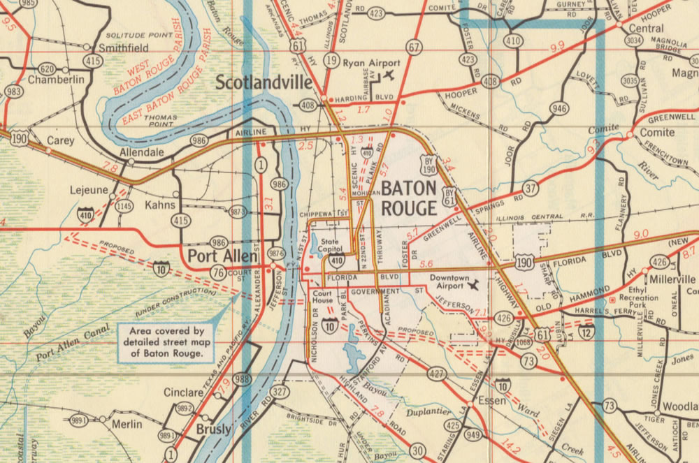
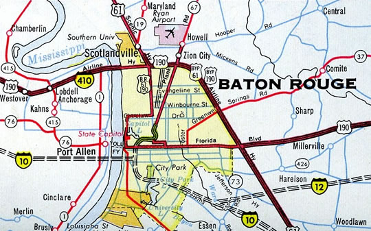
Early plans for Baton Rouge outlined a full loop north from Interstate 10 using a portion of U.S. 190 (Airline Highway) and the Mississippi River Bridge. This included a new terrain alignment from I-10 north to U.S. 190 at LA 1145, and an upgrade of U.S. 190 east to a trumpet interchange with I-410 leading south to the Baton Rouge Expressway.
The urban Interstate numerology submitted to the American Association of State Highway Officials (AASHO) by the Louisiana Department of Highways on March 27, 1958 assigned Route B10 to the loop at Baton Rouge. Changed to Interstate 410 per correspondence with AASHO on July 2, 1958, the route was approved on November 10, 1958.
Extension of I-110 north to Airline Highway was completed by 1972. The freeway opened north from U.S. 61/190 to Harding Boulevard by 1978. The final link with U.S. 61 (Scenic Highway) was finished by 1984.
A number of sign changes were made along I-110 by 2003. This included the following exit renumbering:
- Interstate 10 - unnumbered, new Exits 1I/J
- Laurel Street - old Exit 1F, new Exit 1H
- Evangeline Street - old Exit 4A, new Exit 4
- Hollywood Street - old Exit 4B, new Exit 5A
- U.S. 61/190 (Airline Highway) - old Exit 5, new Exit 5B
- LA 19 - old Exit 8, new Exit 8A
- U.S. 61 (Scenic Highway), old Exits 8A/B, new Exits 8B/C
The freeway was resigned again to use Clearview font by 2013.
North End  ‐ Baton Rouge, LA
 North at
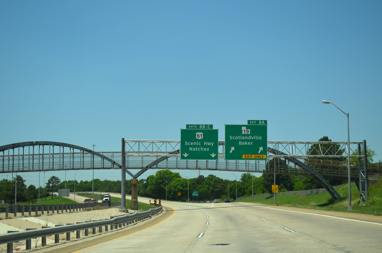
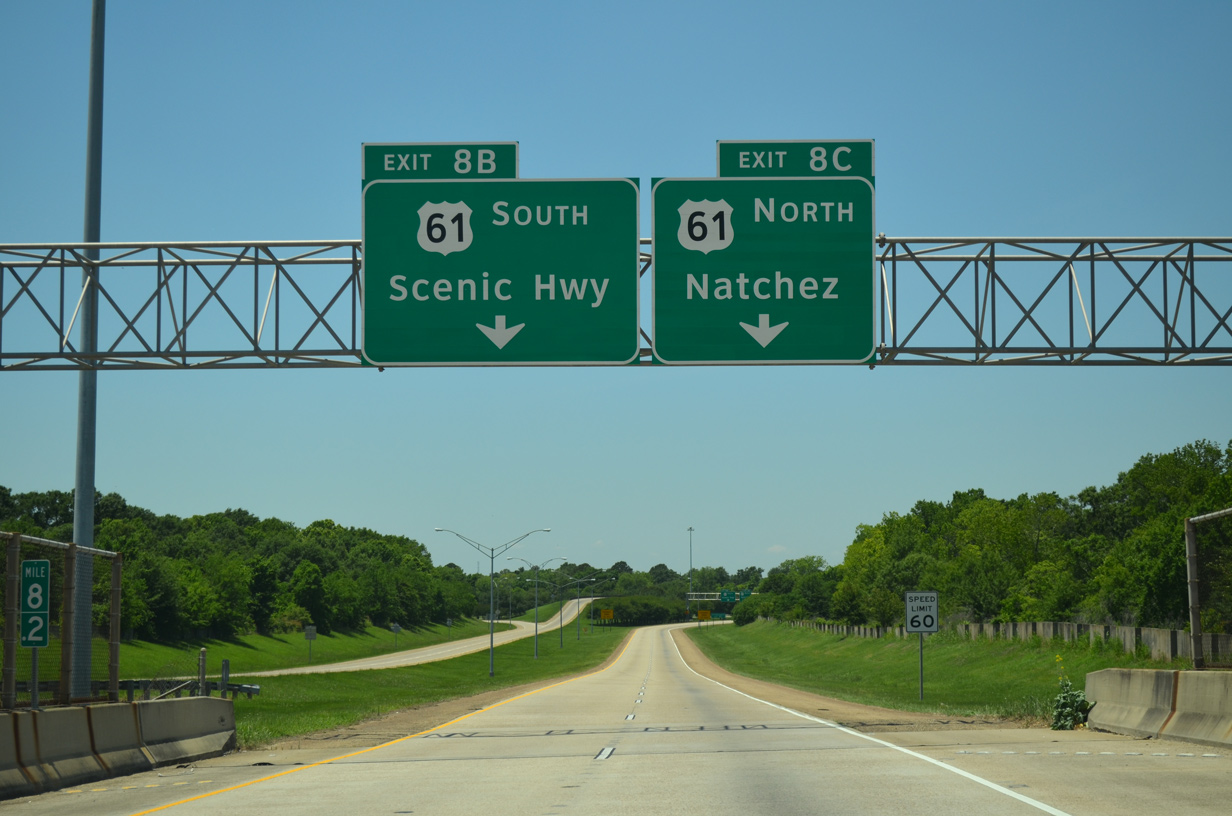
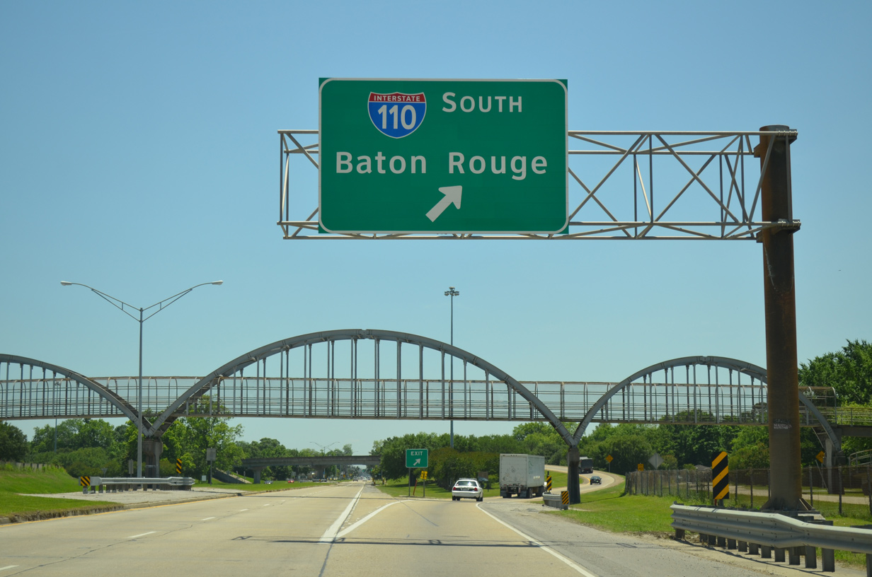
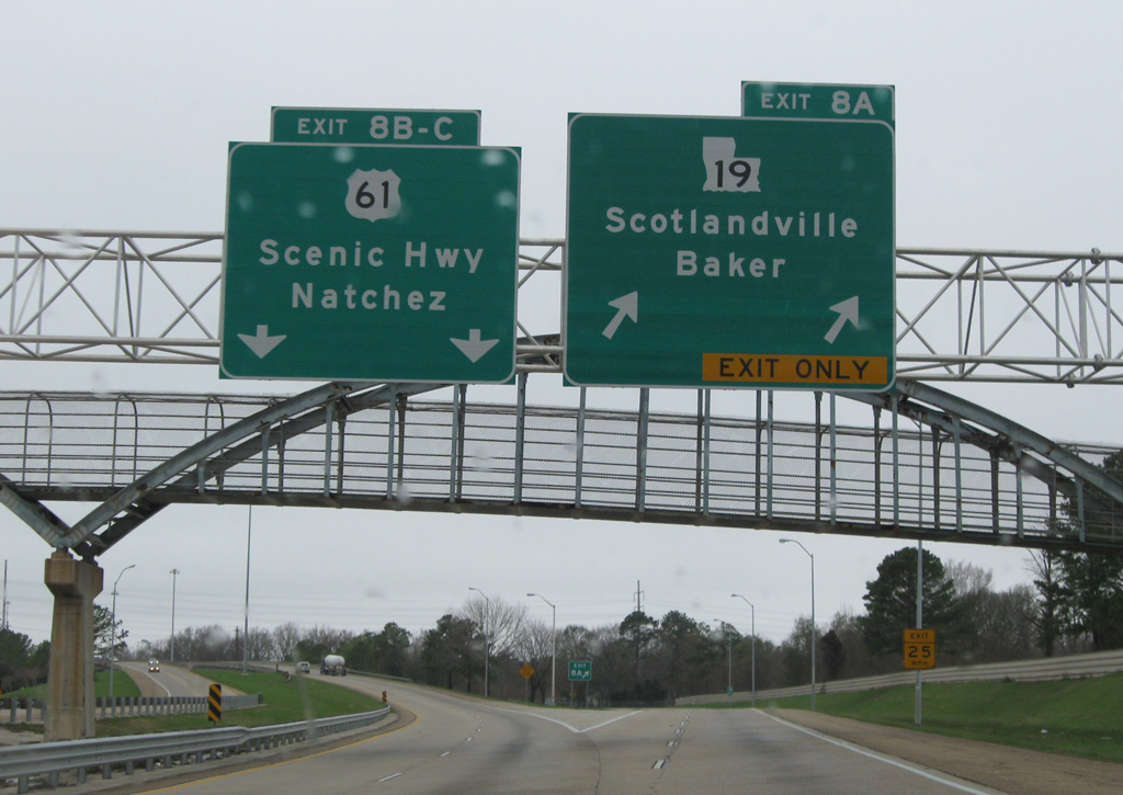
Interstate 110 turns west from the half diamond interchange (Exit 8A) with LA 19 to U.S. 61 (Scenic Highway). The freeway reduces from six to four lanes here. 05/19/14
South at
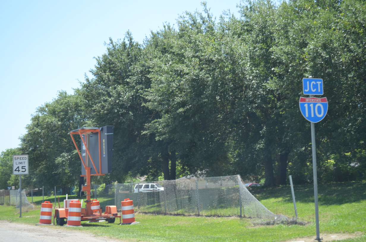
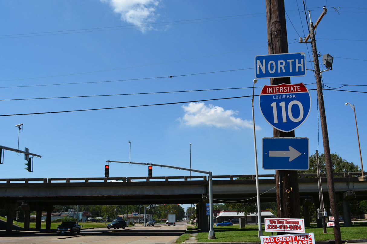
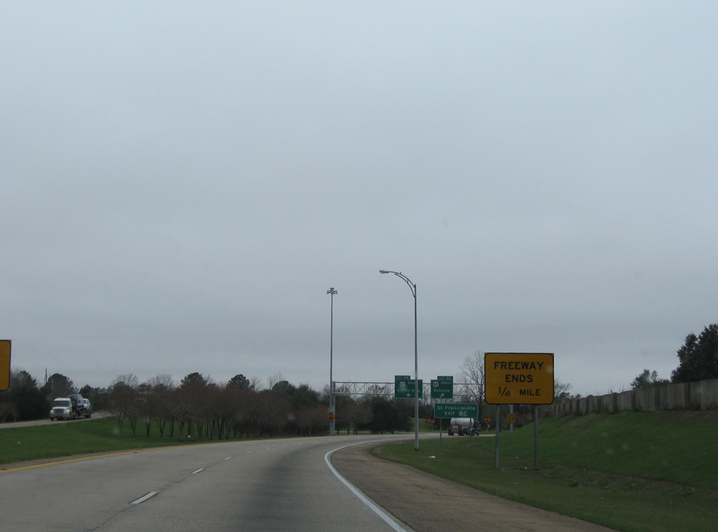
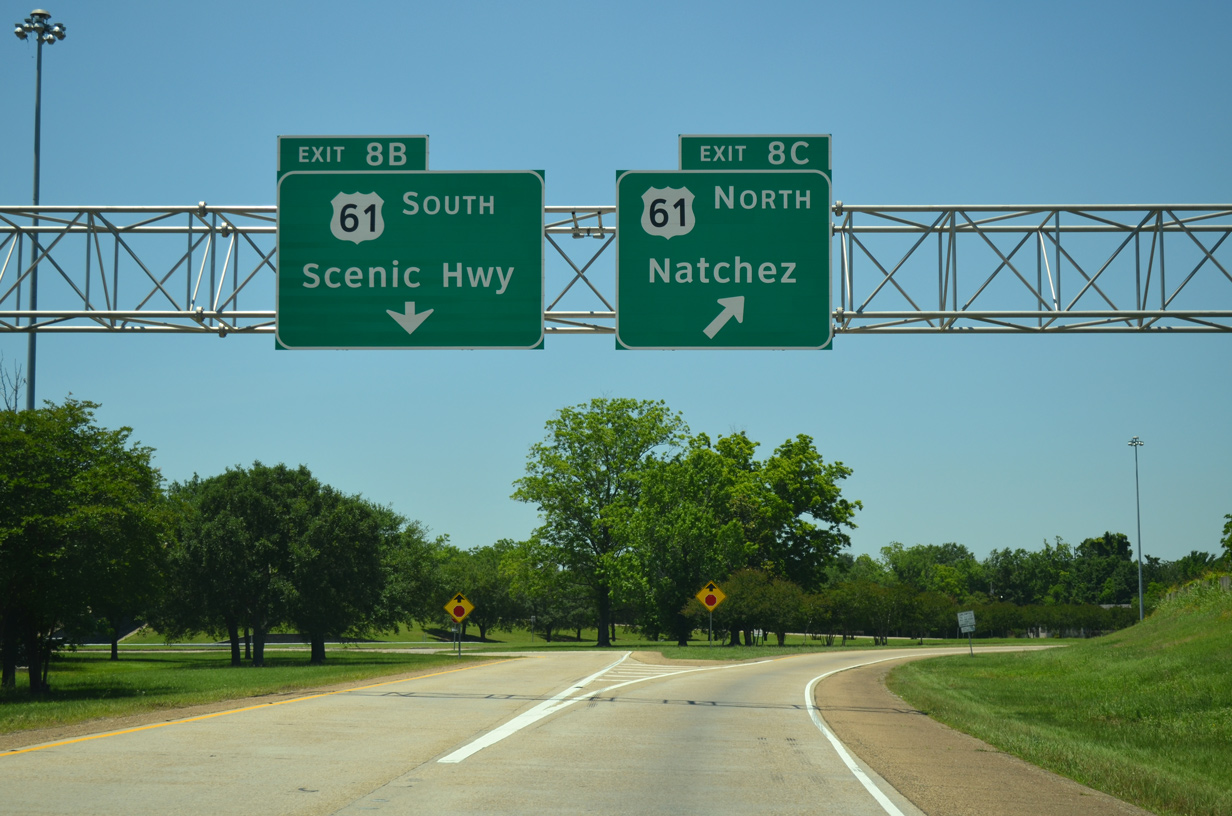
This shield assembly precedes the southbound split with Interstate 110 (Dr. Martin Luther King, Jr. Memorial Freeway) on U.S. 61 (Scenic Highway) at Scotlandville. 05/19/14
North End – Past Views
Past Views Gallery (Tap to Expand / Collapse Section)
at
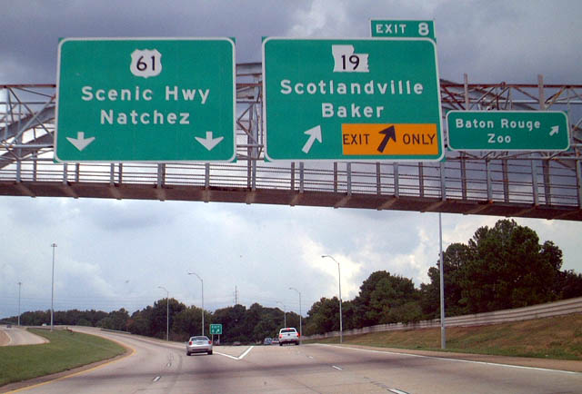
The off-ramp (Exit 8A) to LA 19 was originally designated Exit 8. Sign changes made by 2009 included a new sign bridge here for the state highway leading north to Baker. 08/12/02
South End  ‐ Baton Rouge, LA
South at
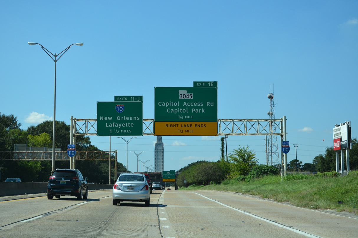
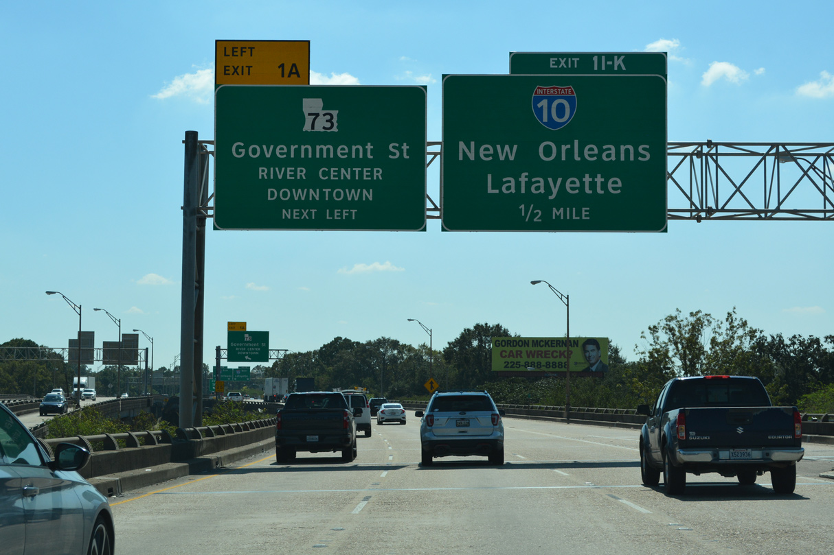
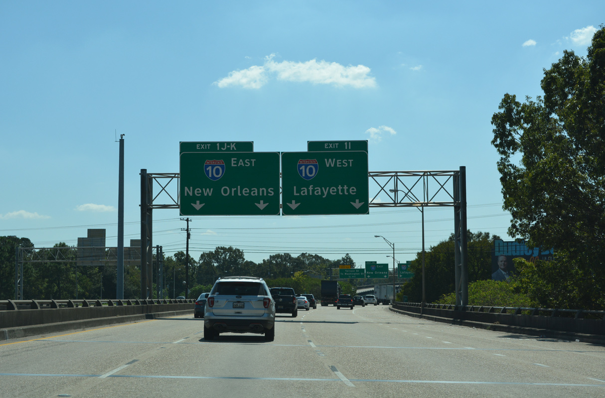
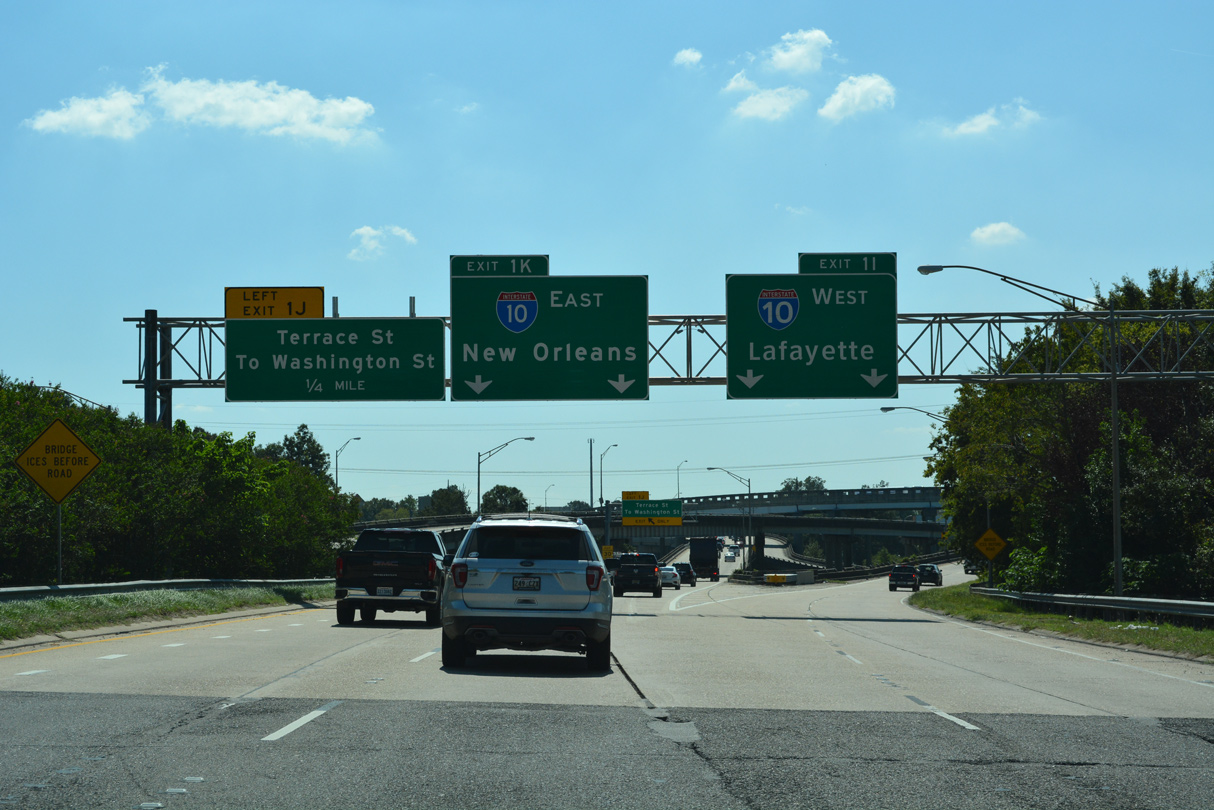
The first sign for Exits 1 I-J and Interstate 10 appears along I-110 on the Baton Rouge Expressway south ahead of the Louisiana State Capitol. 10/08/21
West at
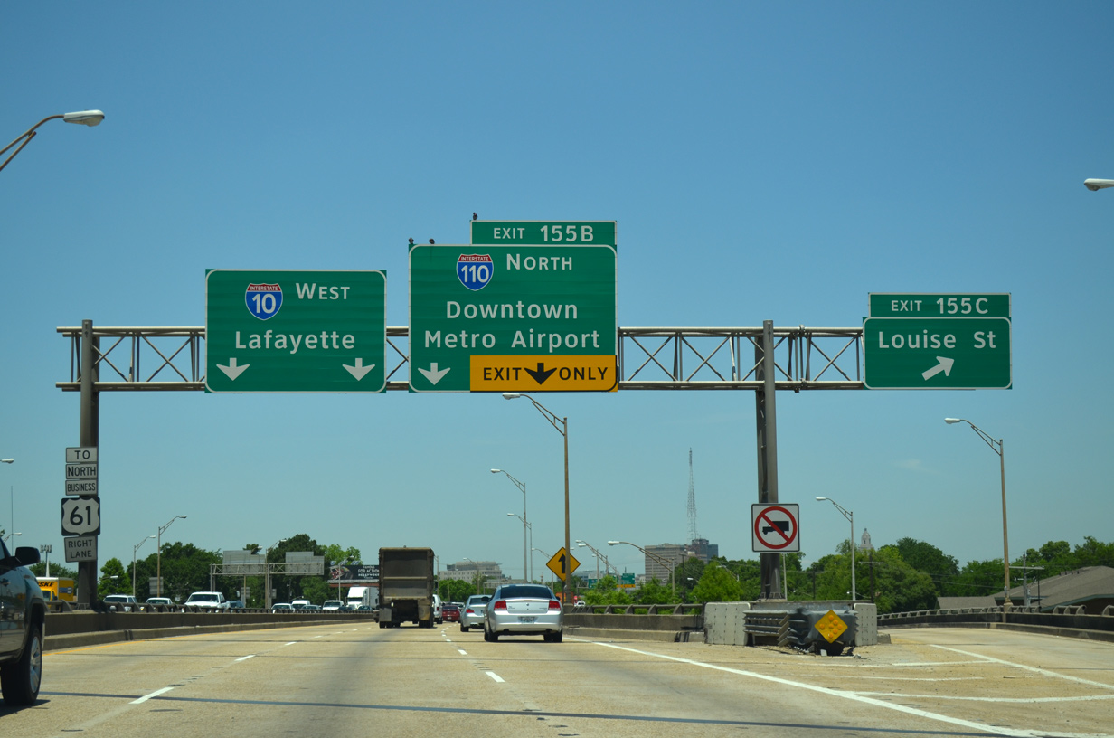
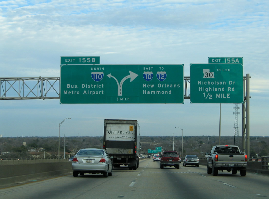
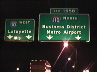
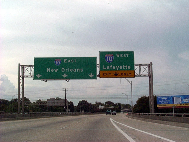
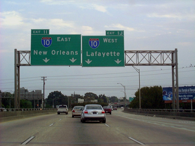
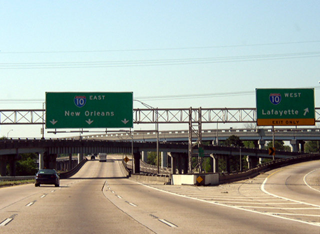
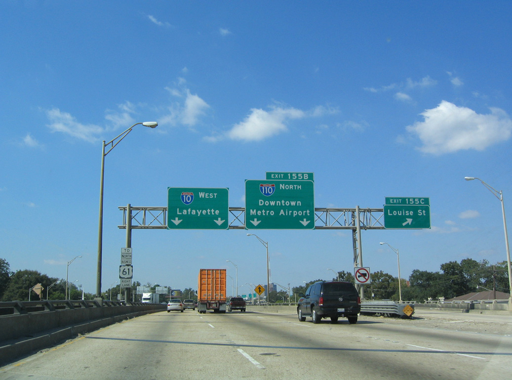
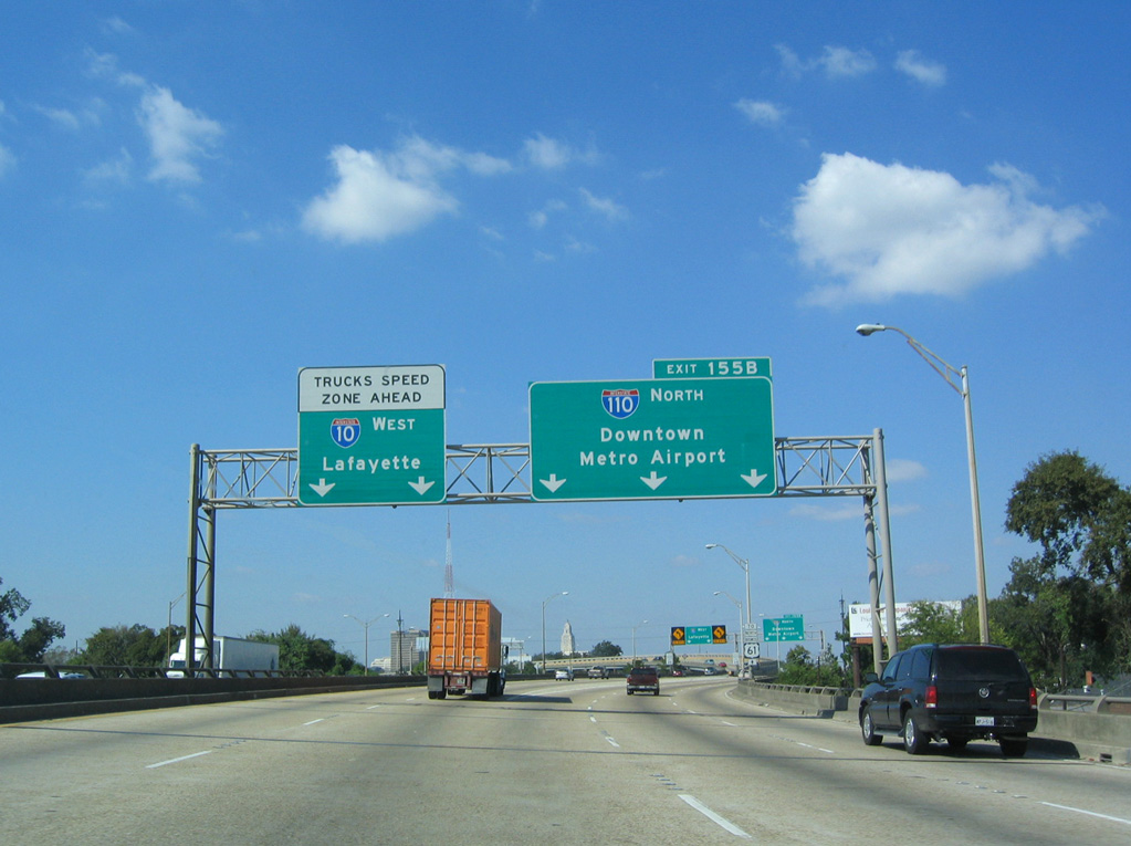
I-10 westbound elevates on a system of viaducts from Exit 155 C for Louise Street to the split with I-110 north at Exit 155 B. I-110 connects I-10 west with U.S. 61-190 Business (Florida Street) to Mid-City. 05/19/14
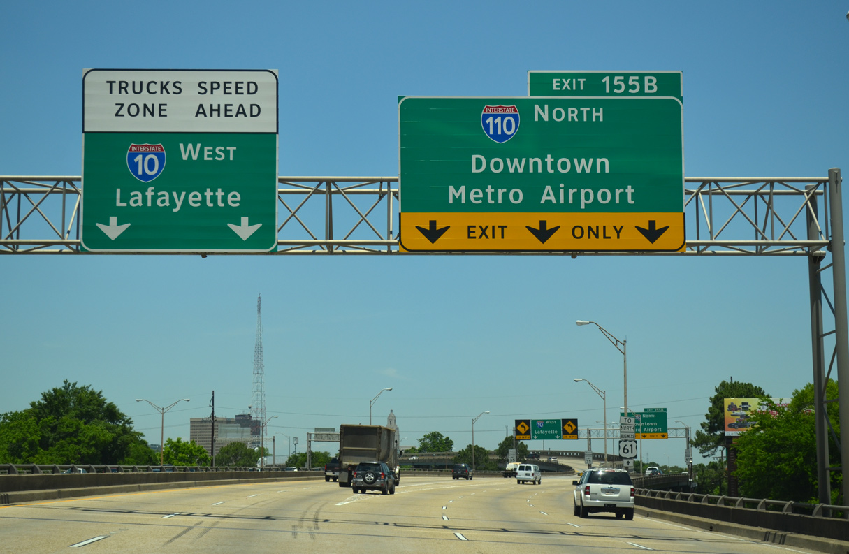
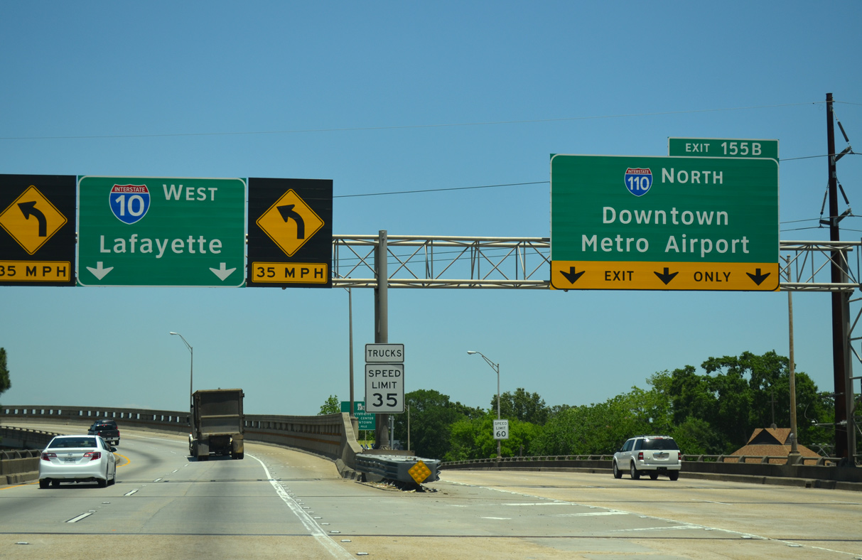
East at
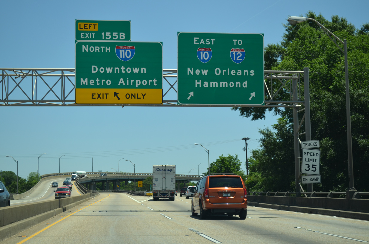
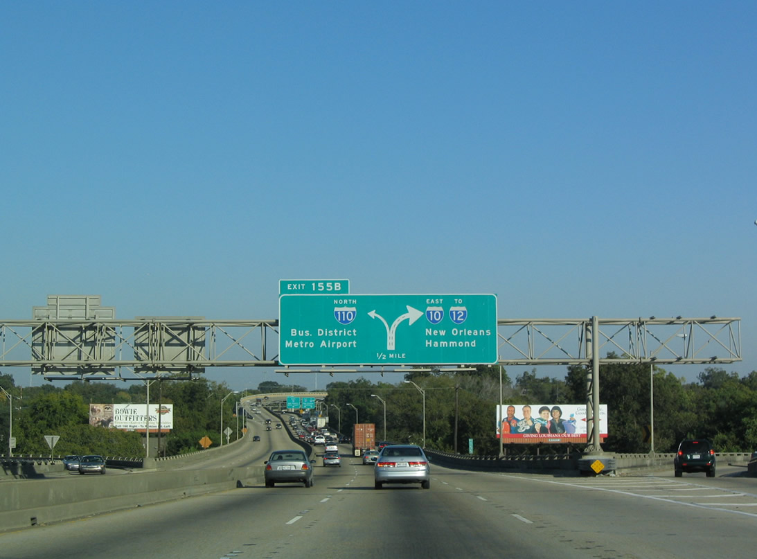
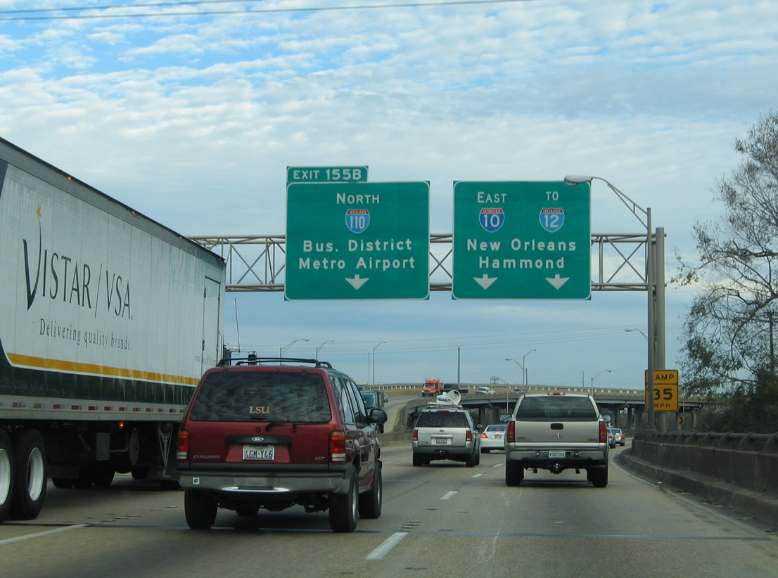
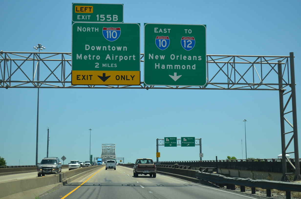
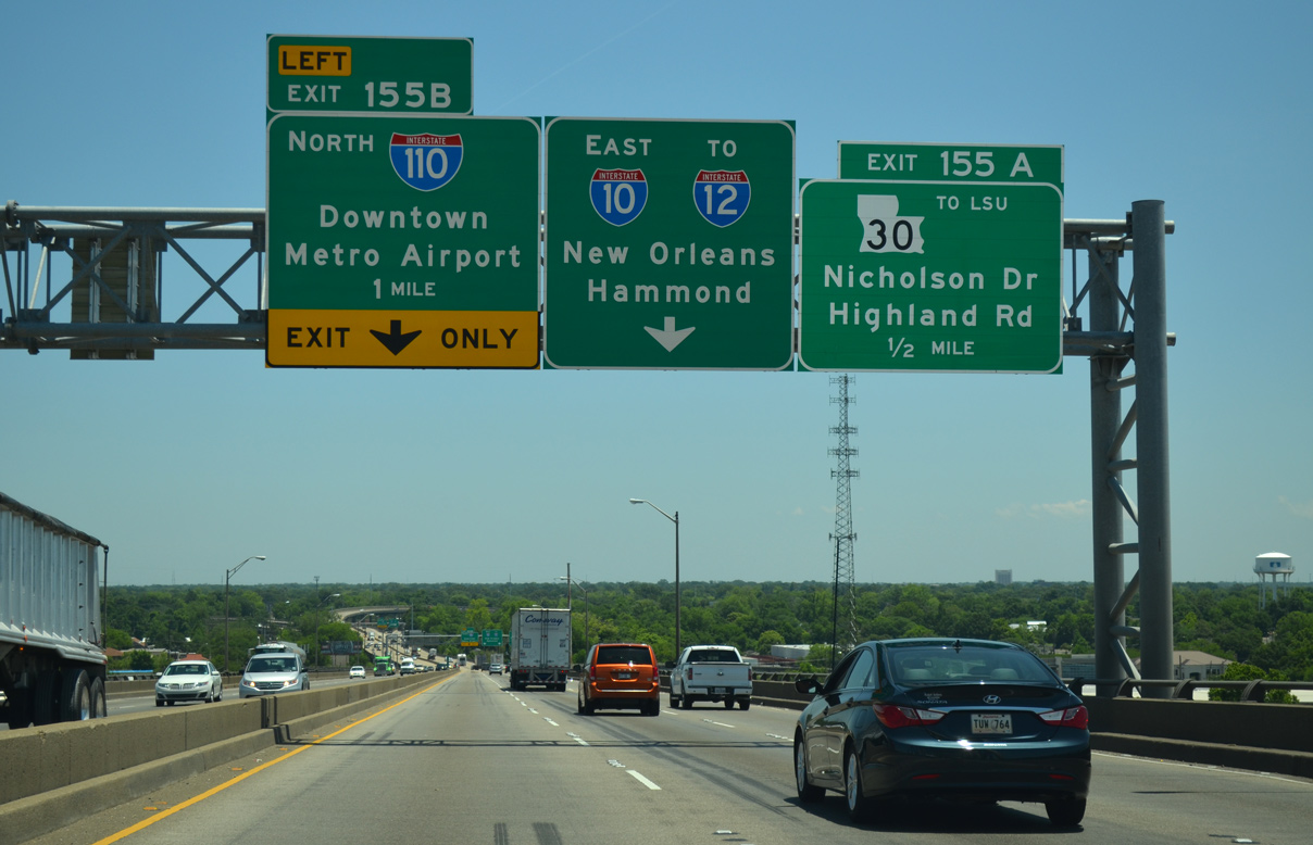
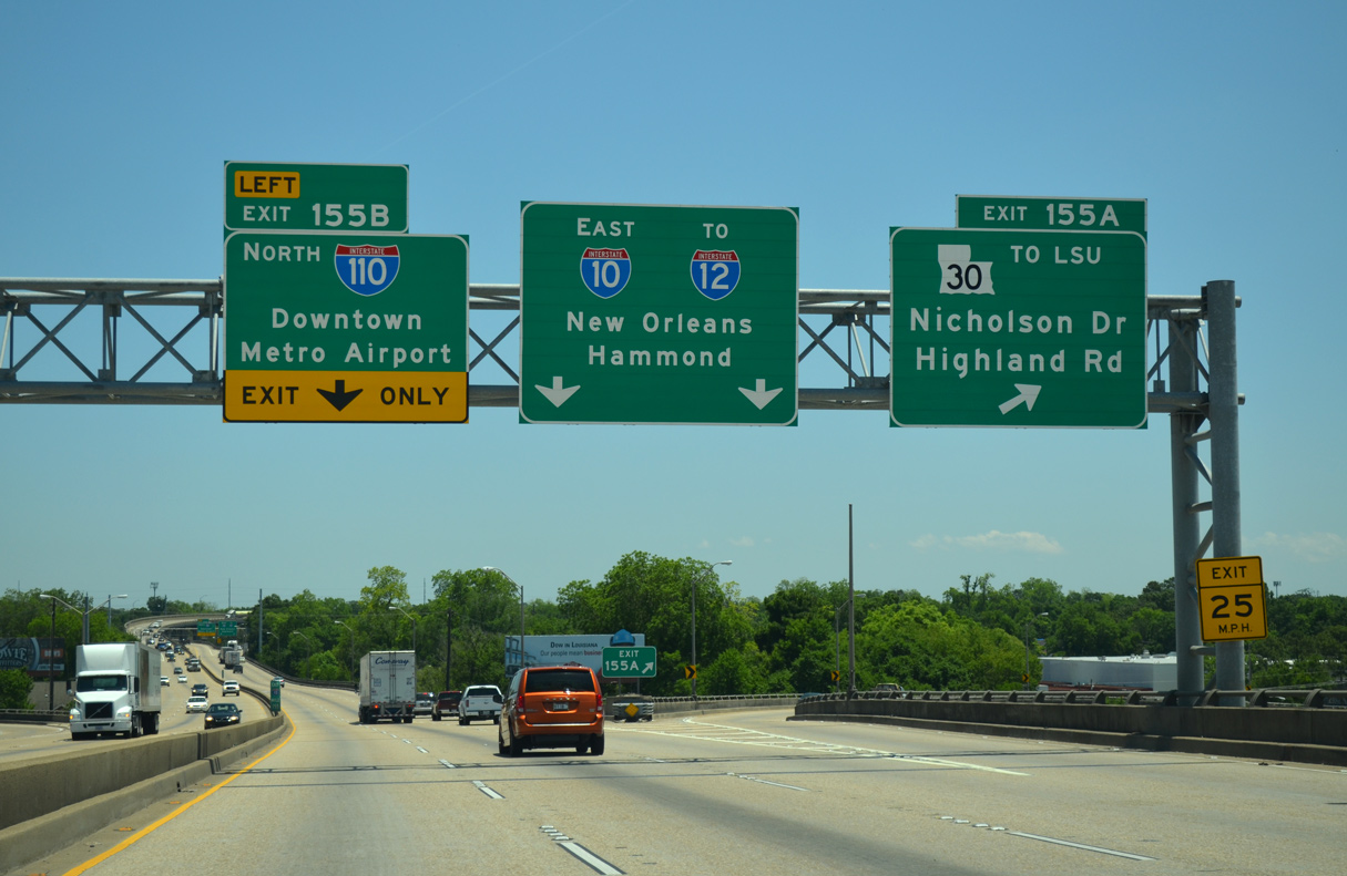
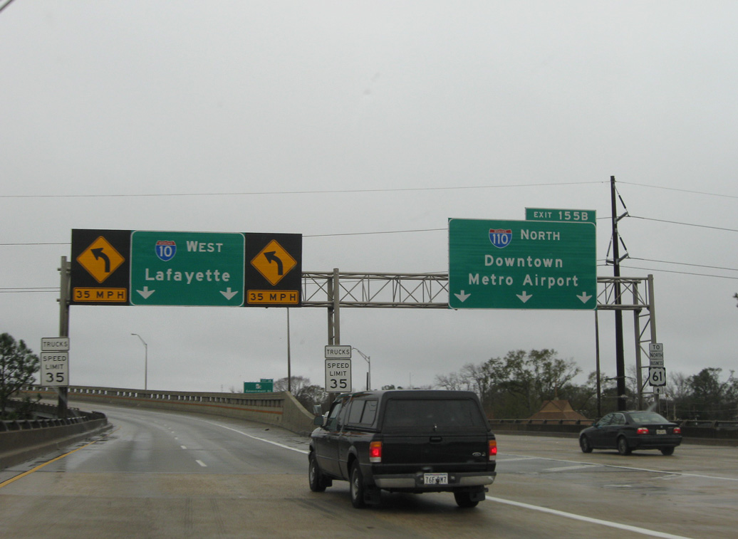
Peak hour traffic congestion is a regular occurrence at Exit 155B due both to the lane drop for I-110 north and the sharp curve of the I-10 eastbound viaduct. 2014 counts recorded by LADOTD showed 92,084 vpd along the I-10 mainline here and 19,528 vpd using the ramps to I-110 north and from I-110 south. Photo taken 05/19/14.
South End – Past Views
Past Views Gallery (Tap to Expand / Collapse Section)
South at
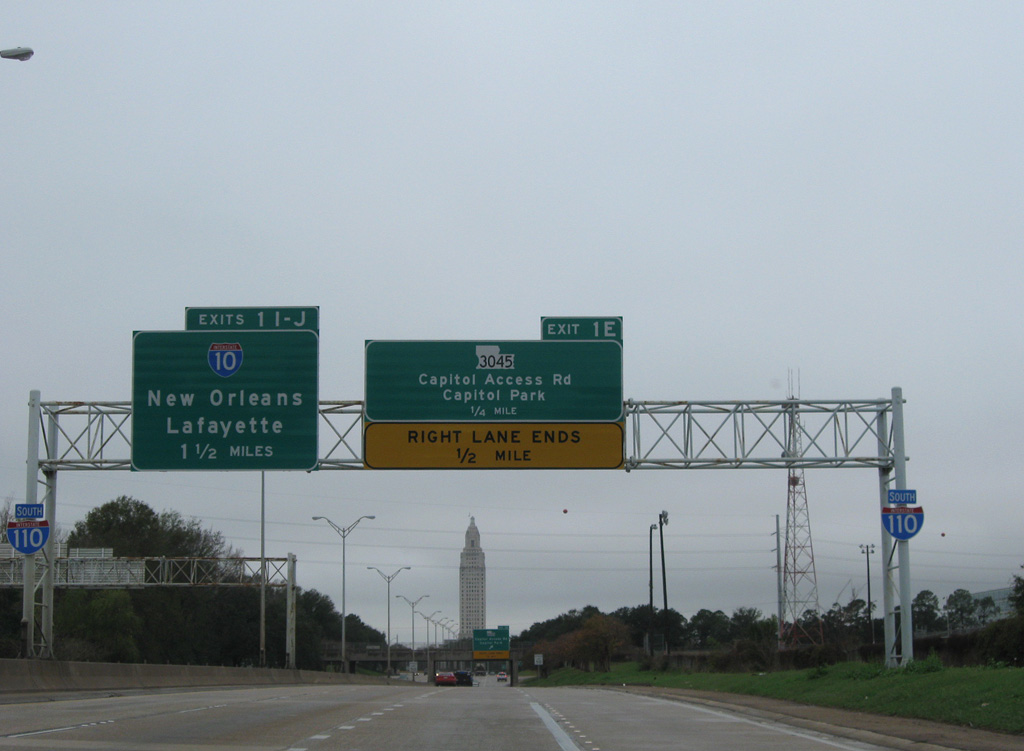
1.5 miles ahead of I-10 on I-110 south by Memorial Stadium and Exit 1 E to LA 3045 (Capitol Access Road). 01/05/09
West at
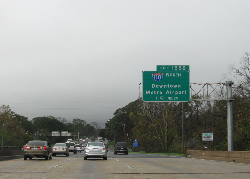
I-10 proceeds west across City Park Lake en route to I-110 and Downtown Baton Rouge. 01/05/09
East at
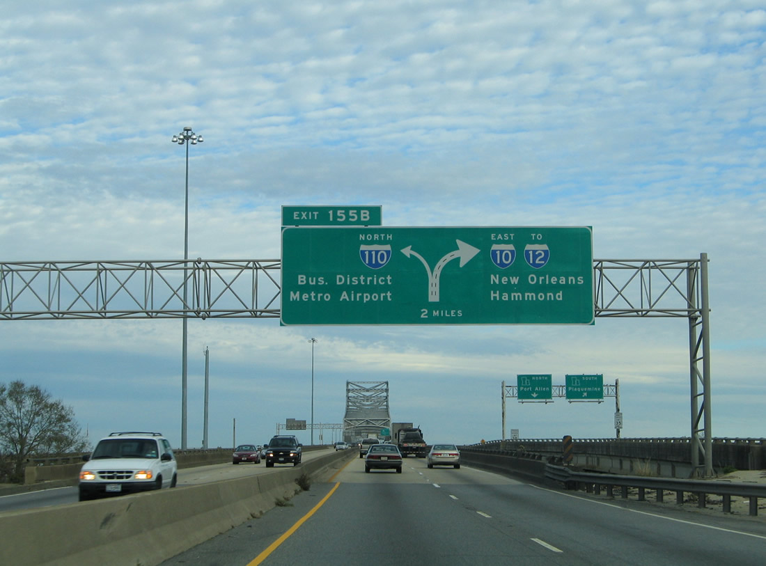
A series of diagrammatic signs outlined the forthcoming lane drop for Interstate 110 north. 01/15/06