
Interstate 110 California
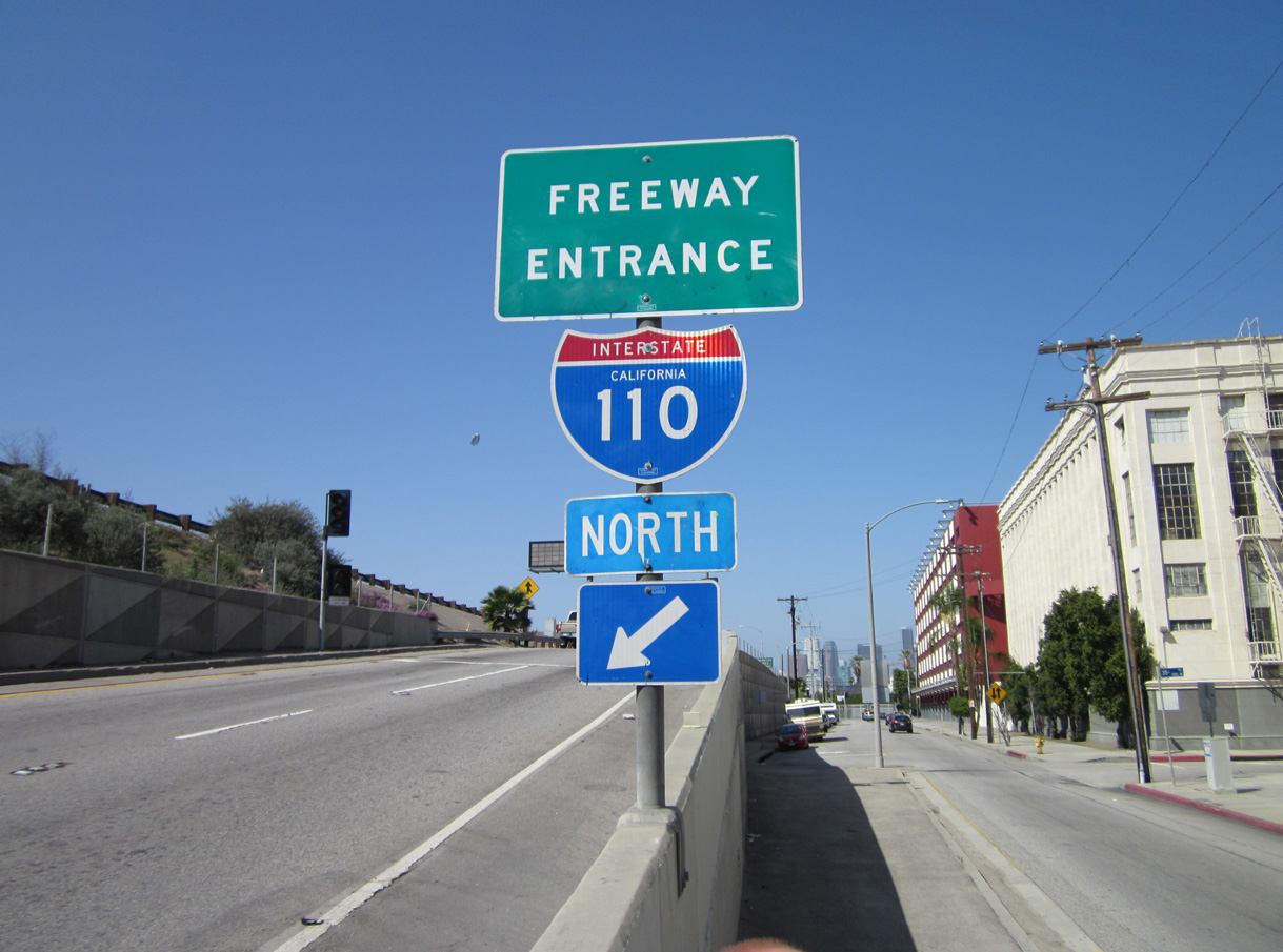
Overview
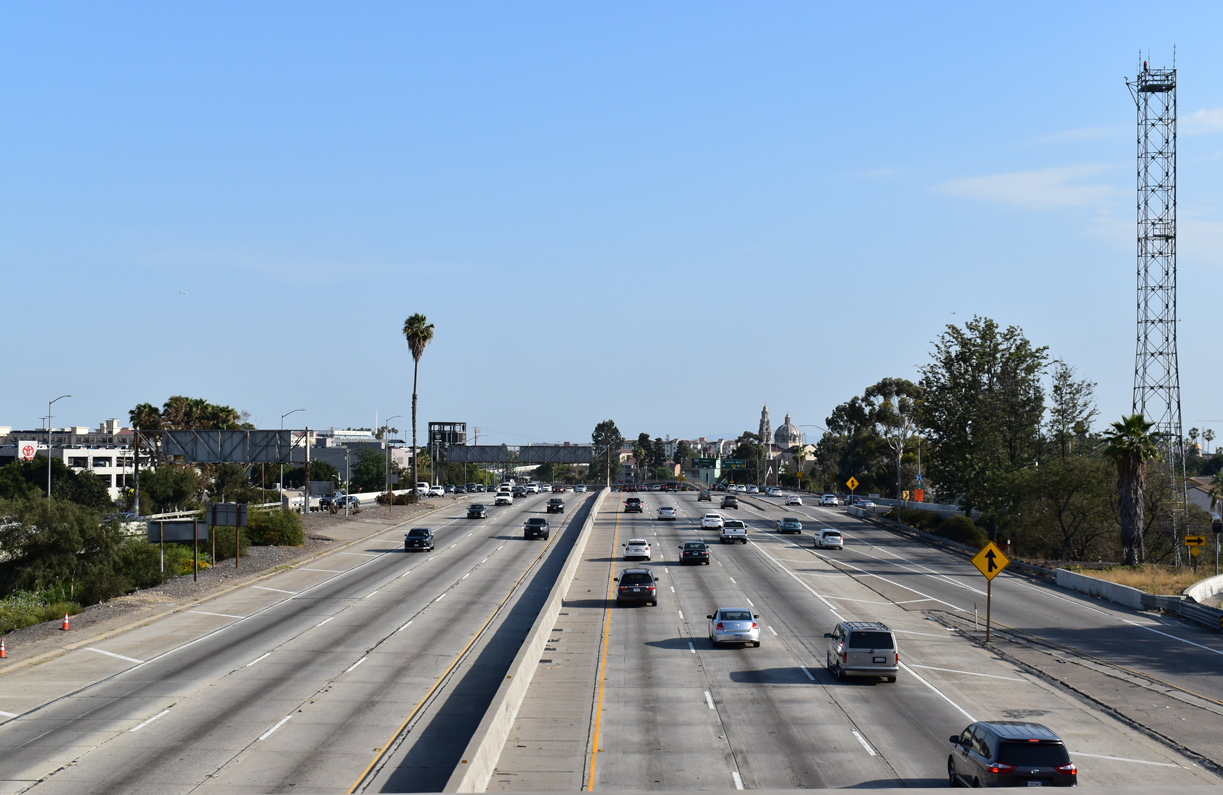
Connecting the San Pedro community with Downtown in Los Angeles, Interstate 110 follows the Harbor Freeway north from California State Route 47 to Interstate 10 (Santa Monica Freeway). A heavily traveled route, I-110 serves as a major commuter route through the heart of South Los Angeles as well as a commercial corridor to the Ports of Los Angeles and Long Beach via the Vincent Thomas Bridge.
A portion of the Harbor Freeway one mile south of Interstate 10 was upgraded with the addition of a separate transit and carpool roadway. It includes an elevated section above the below grade portion of the Harbor Freeway. The viaduct ends with a stub by the W 28th Street overpass.
State Route 110 extends north from the I-110 portion of the Harbor Freeway to the Four-Level Interchange with U.S. 101 (Hollywood Freeway). This section is partially signed as I-110 in the southbound direction, but not considered part of the Interstate highway. SR 110 continues northeast from U.S. 101 to I-5 (Golden State Freeway) and South Pasadena along the Arroyo Seco Parkway (Pasadena Freeway).
Mileage by State
| California | 20.43 mi |
Data Sources
December 31, 2021 Interstate Route Log and Finders List
History
Interstate 110 was commissioned between 1964 and 1968 along the westernmost extent of the San Bernardino Freeway. It linked I-5/10 with U.S. 101 and the previous alignment of I-105 east of Downtown Los Angeles. I-105 was subsequently dropped from the Santa Ana Freeway, leaving U.S. 101 alone south to I-5 and I-10. I-110 was renumbered as unsigned State Route 10. The American Association of State Highway Officials (AASHO) approved the deletion of both routes on June 30, 1970.
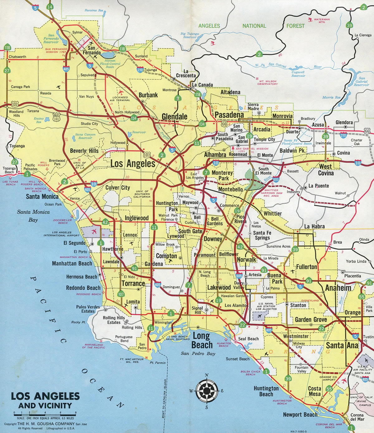
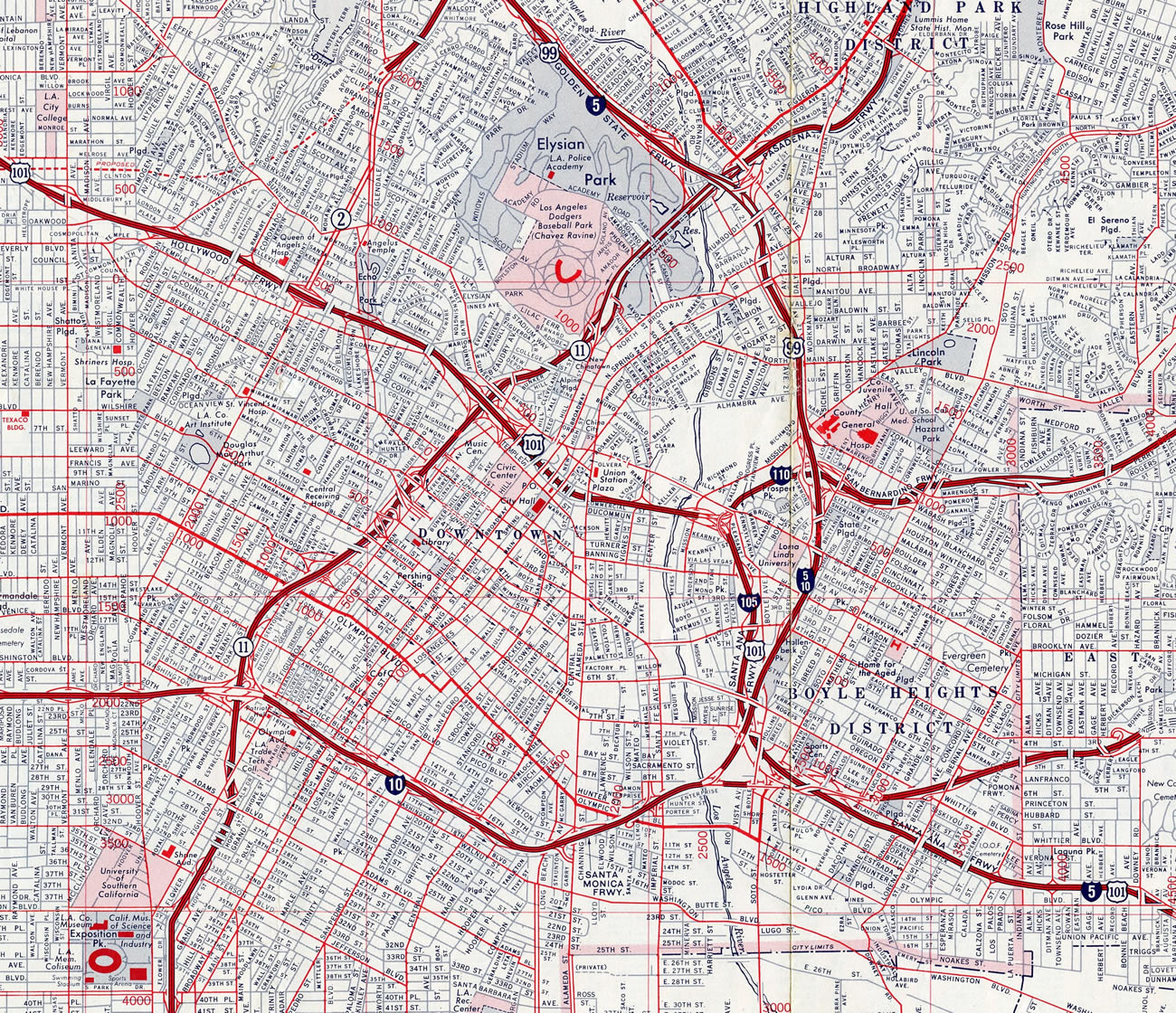
Interstate 110 was established again in 1978 along a different stretch of highway: the Harbor Freeway (California State Route 11). Having been built in stages through the 1950s and 1960s, the Harbor Freeway was one of the oldest freeways in the Los Angeles Basin. The first sections were constructed as part of U.S. 6, which previously followed Figueroa Street from Downtown Los Angeles to San Pedro.
When U.S. 6 was decommissioned in 1964, the Harbor Freeway was redesignated as SR 11. The state route also followed the adjacent Pasadena Freeway to the north. The American Association of State Highway and Transportation Officials (AASHTO) approved the I-110 designation along the Harbor Freeway from SR 47 to I-10 on June 25, 1979. The remainder of SR 11 was renumbered SR 110.
State Route 110 northeast from Chinatown to Glenarm Street in Pasadena follows one of the old alignments of U.S. 66. Built in the 1940s and 1950s, this section of SR 110 follows Arroyo Seco Parkway. Many of the original substandard sections of the Arroyo Seco Parkway remain, including short acceleration and deceleration lanes, stop signs at the freeway entrance ramps, minimal shoulders, the Figueroa Tunnels, sharp turns and narrow lanes. Due to its historical status, many of these features will be not be modified.
SR 110 previously extended both north of the Pasadena Freeway and south of the Harbor Freeway (I-110) along surface streets. The northern segment ran between Glenarm Street and Colorado Boulevard (former U.S. 66). It was relinquished to the city of Pasadena on August 31, 2000.1 The southern leg of SR 110 followed Gaffey Street through San Pedro. Relinquished by the state in June 2009, it connected I-110 with the cruise ship port.
North End 
 ‐ Downtown Los Angeles, CA
 North at
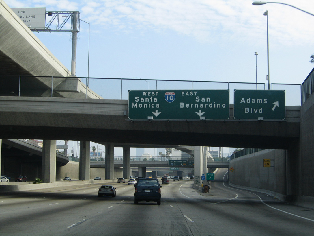
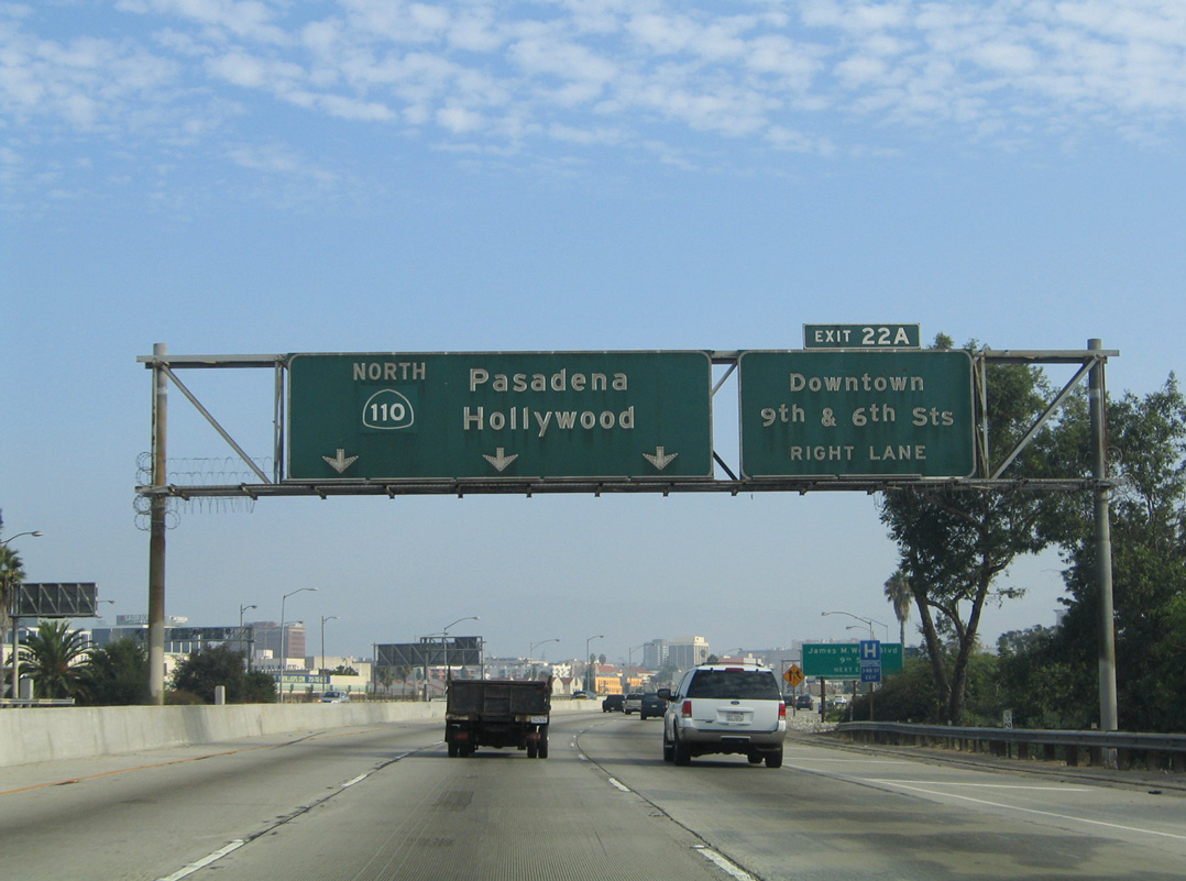
Heading north from Exposition Boulevard and the University of Southern California (USC), Interstate 110 reaches Exit 20 C for Adams Boulevard as the transitway crosses over the freeway. 09/25/05
South at
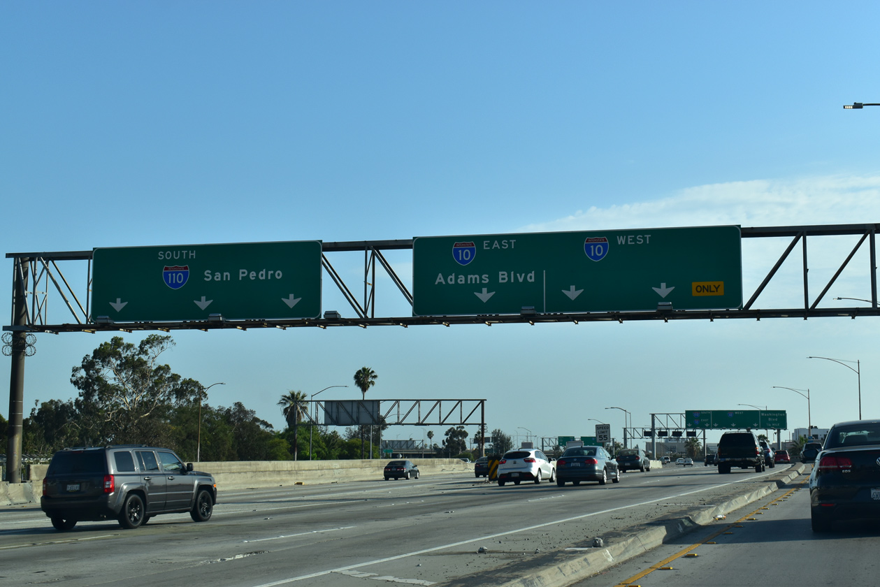
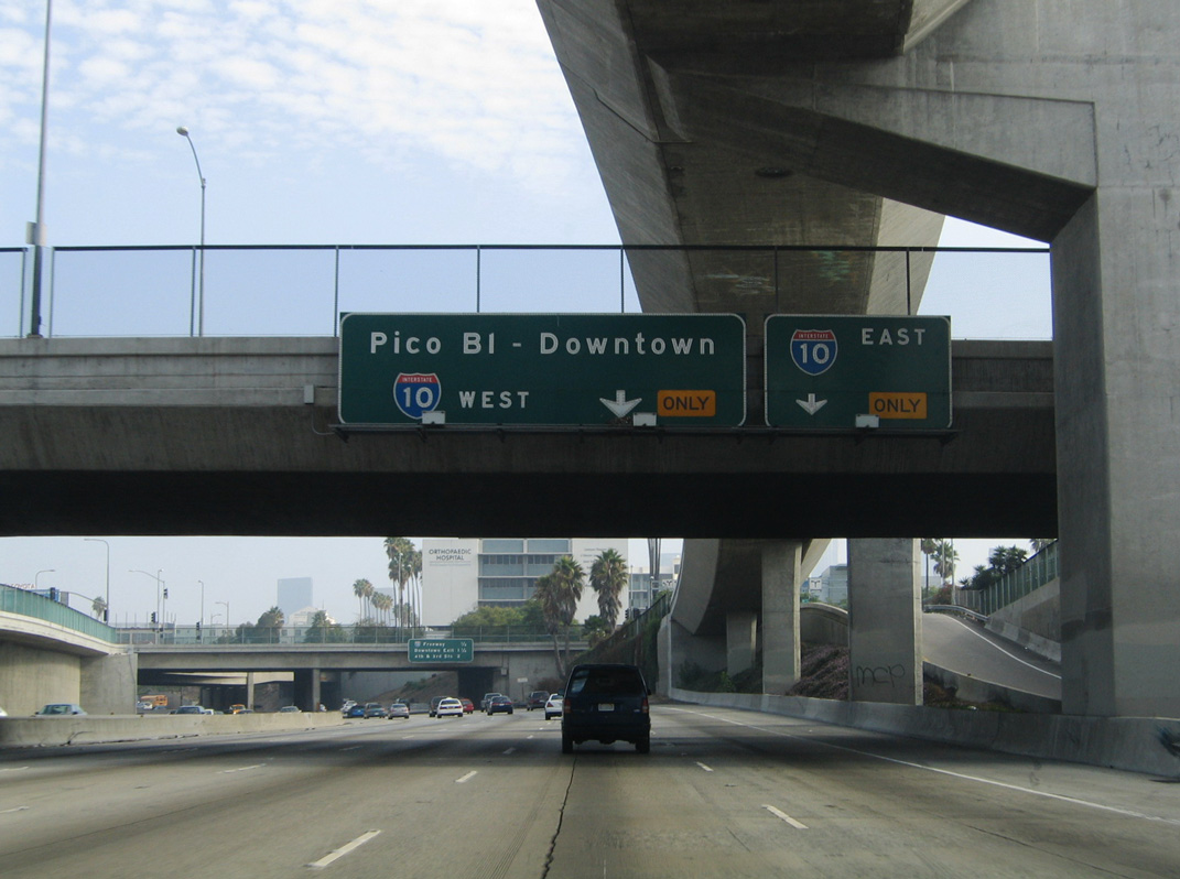
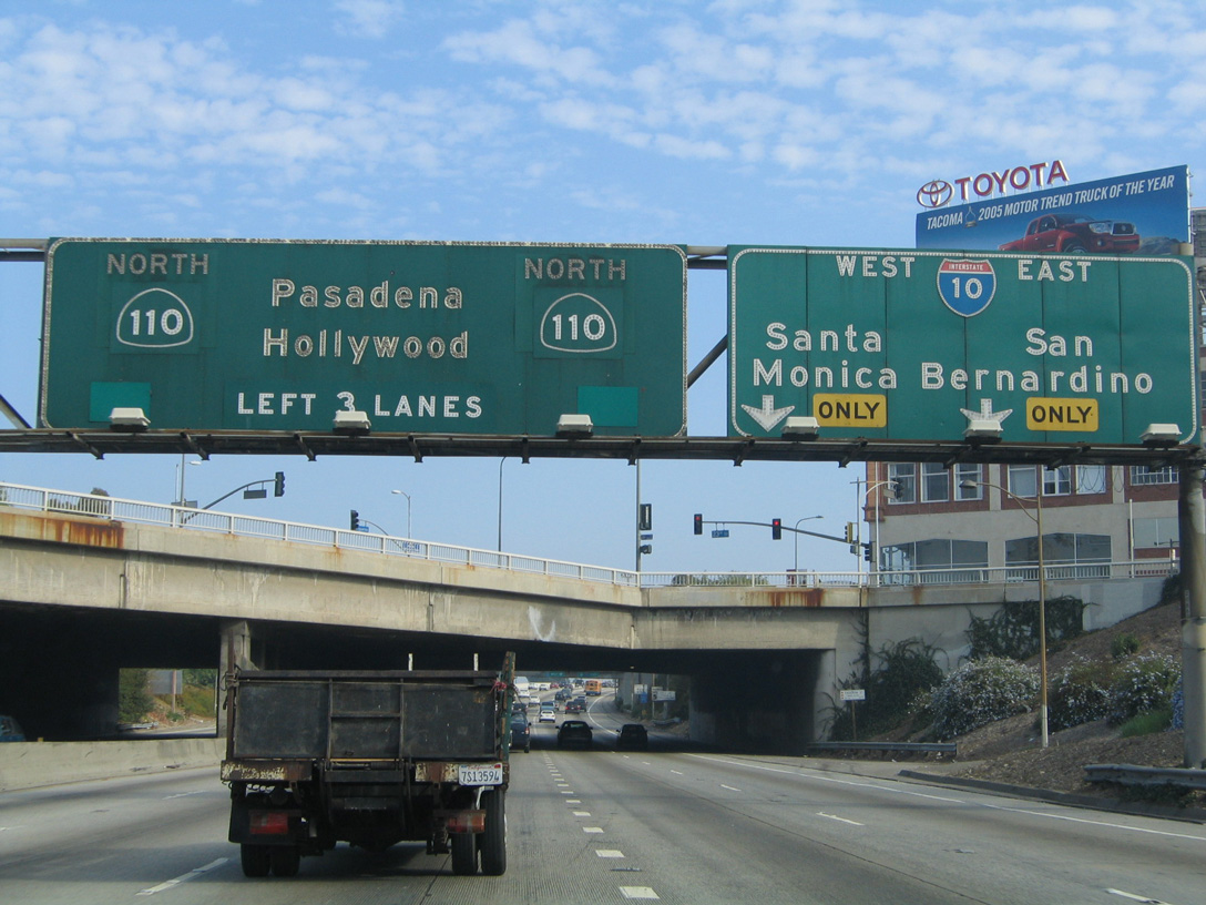
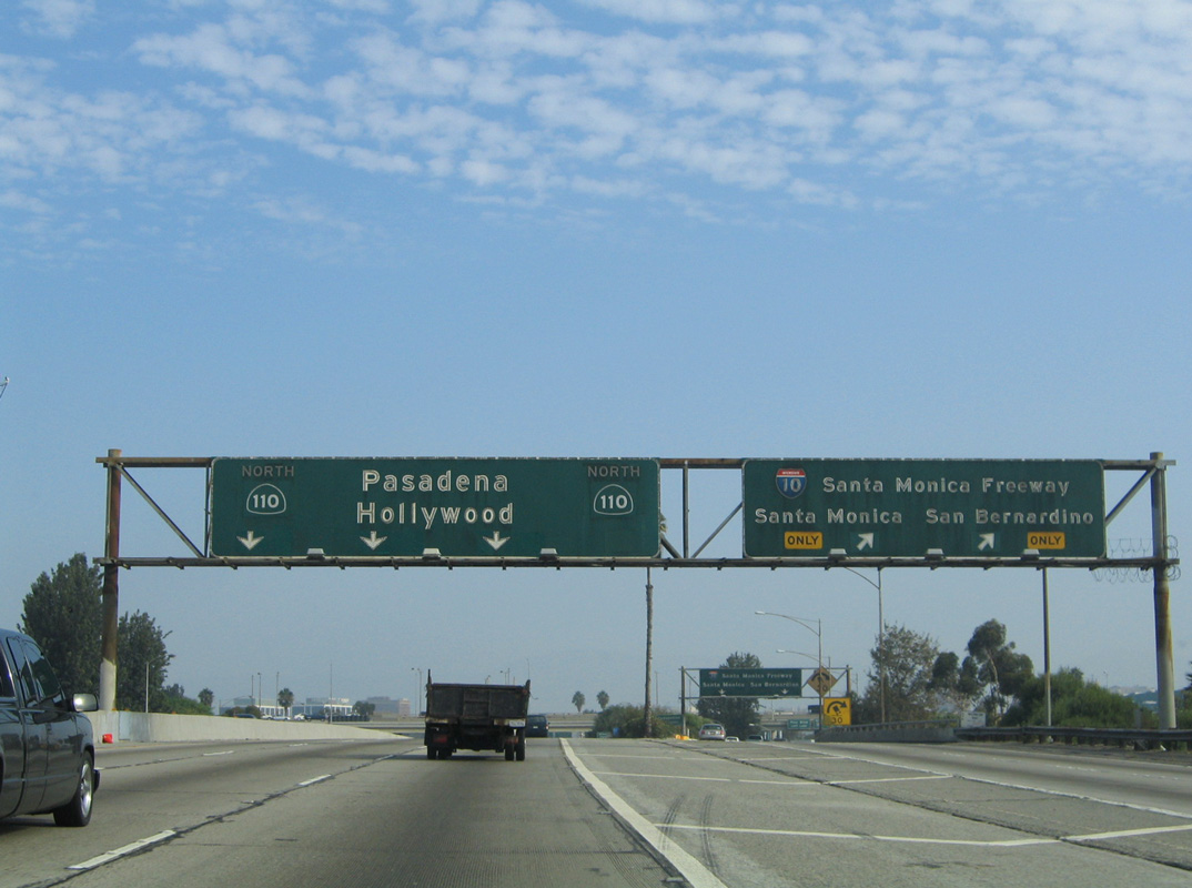
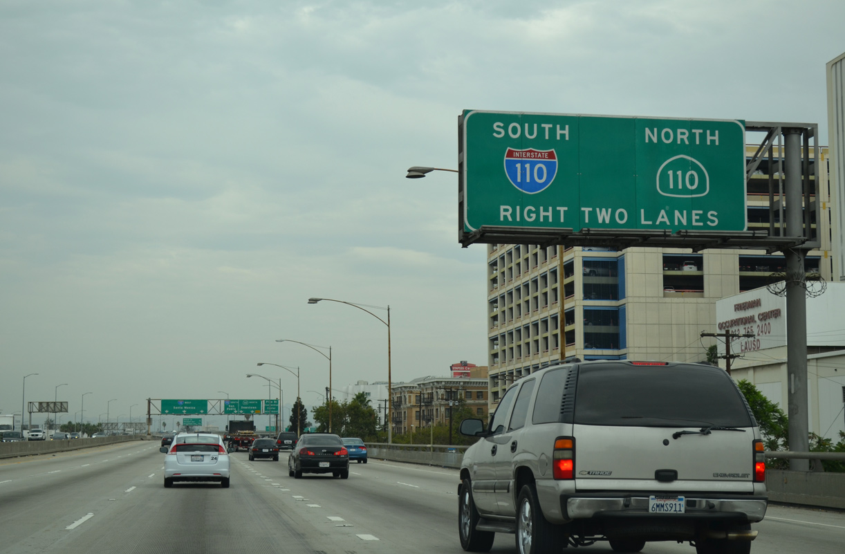
SR 110 (Harbor Freeway) southbound expands with a c/d roadway from the 11th Street entrance ramp through the cloverstack interchange with Interstate 10 (Santa Monica Freeway). 07/08/18
East at
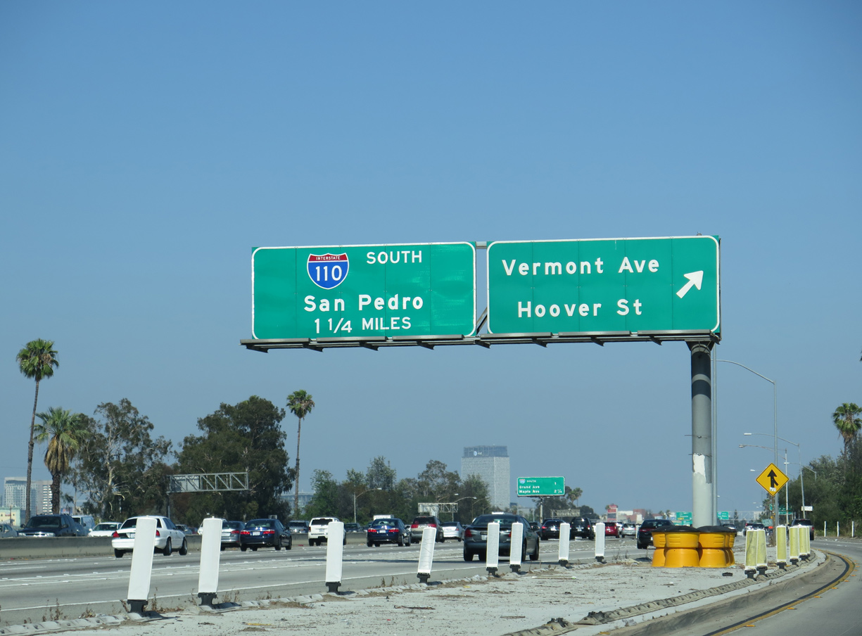
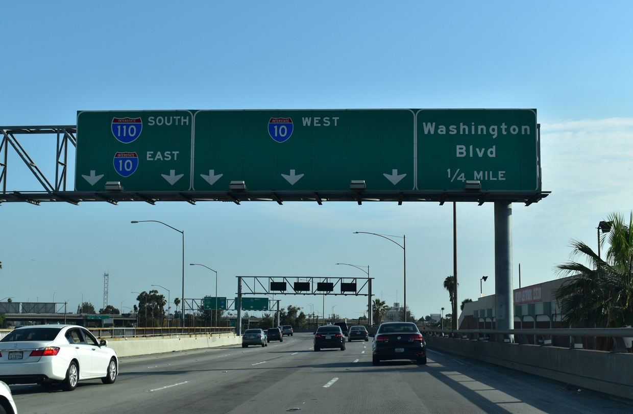
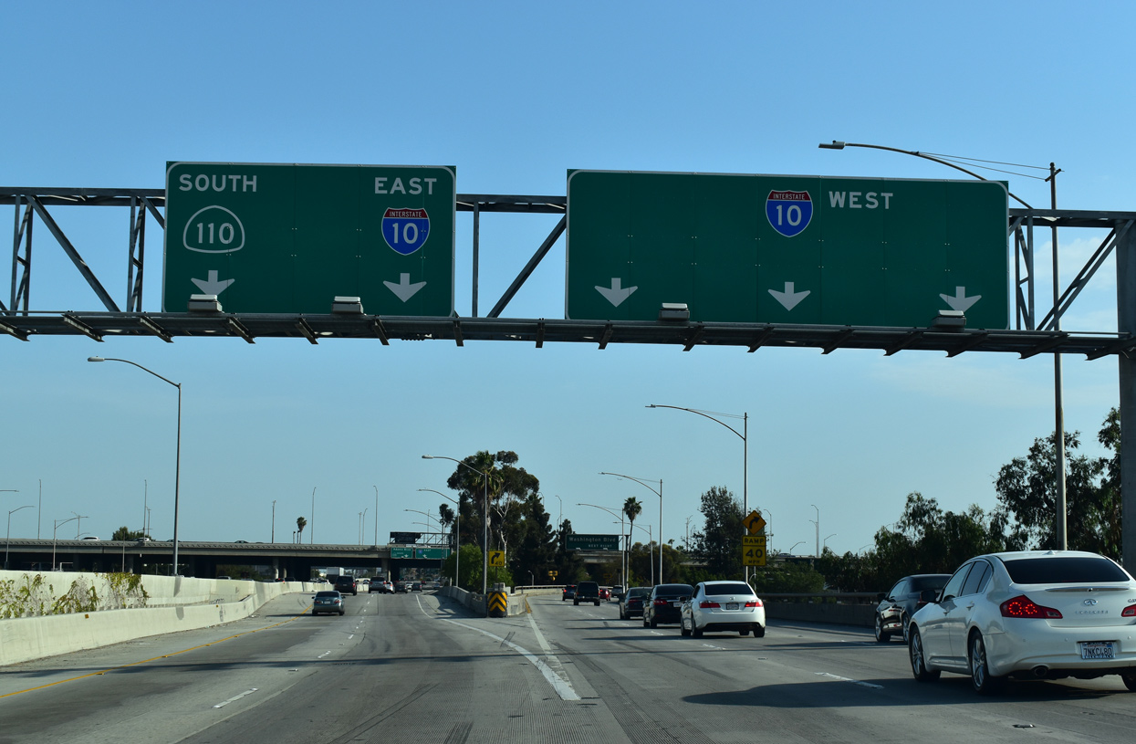
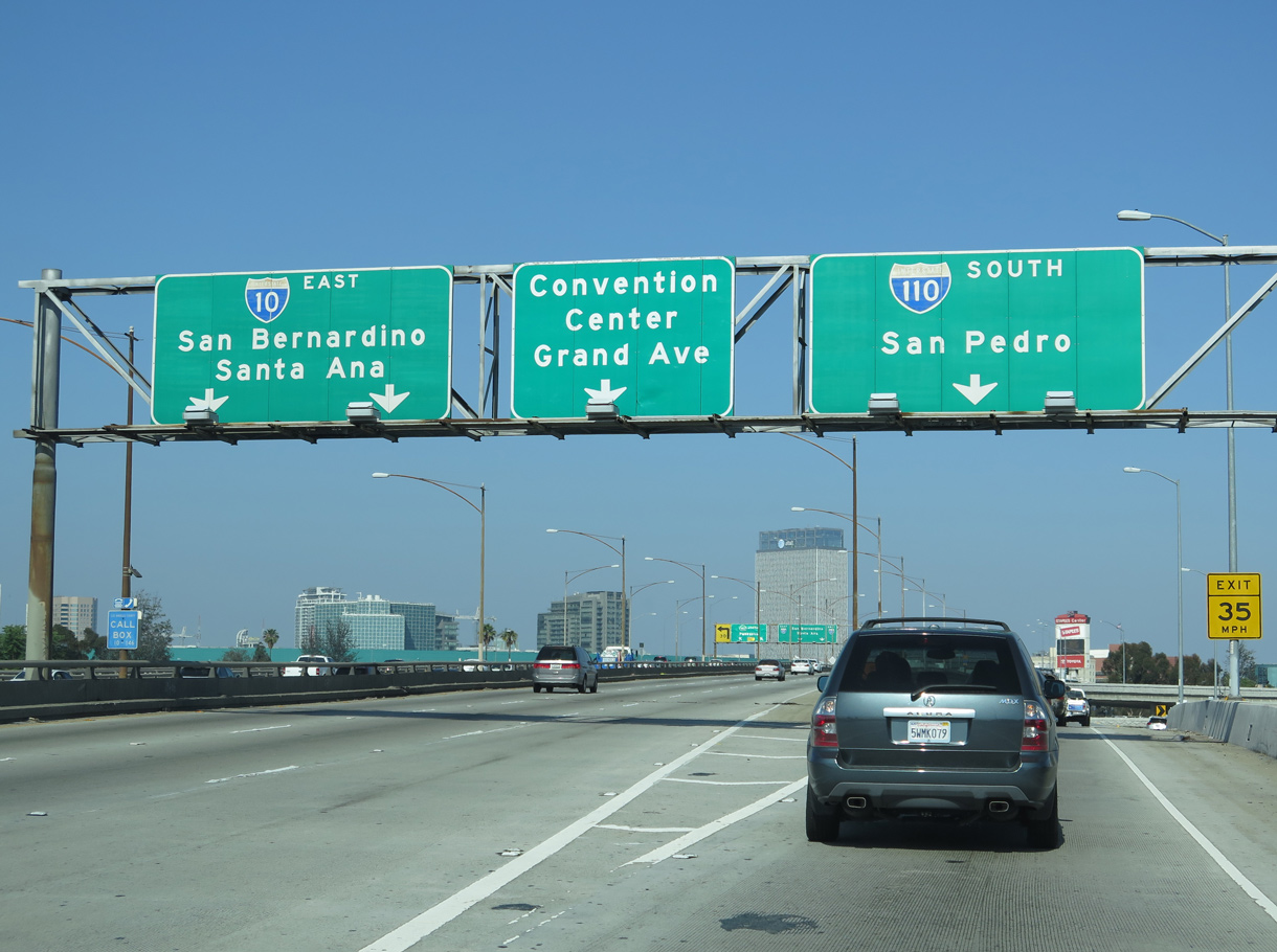
I-10 (Santa Monica Freeway) advances east to the University Park community in Los Angeles and the exchange with I-110 / SR 110 (Harbor Freeway). 05/31/15
West at
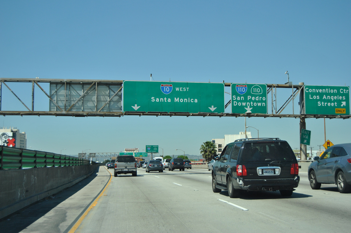
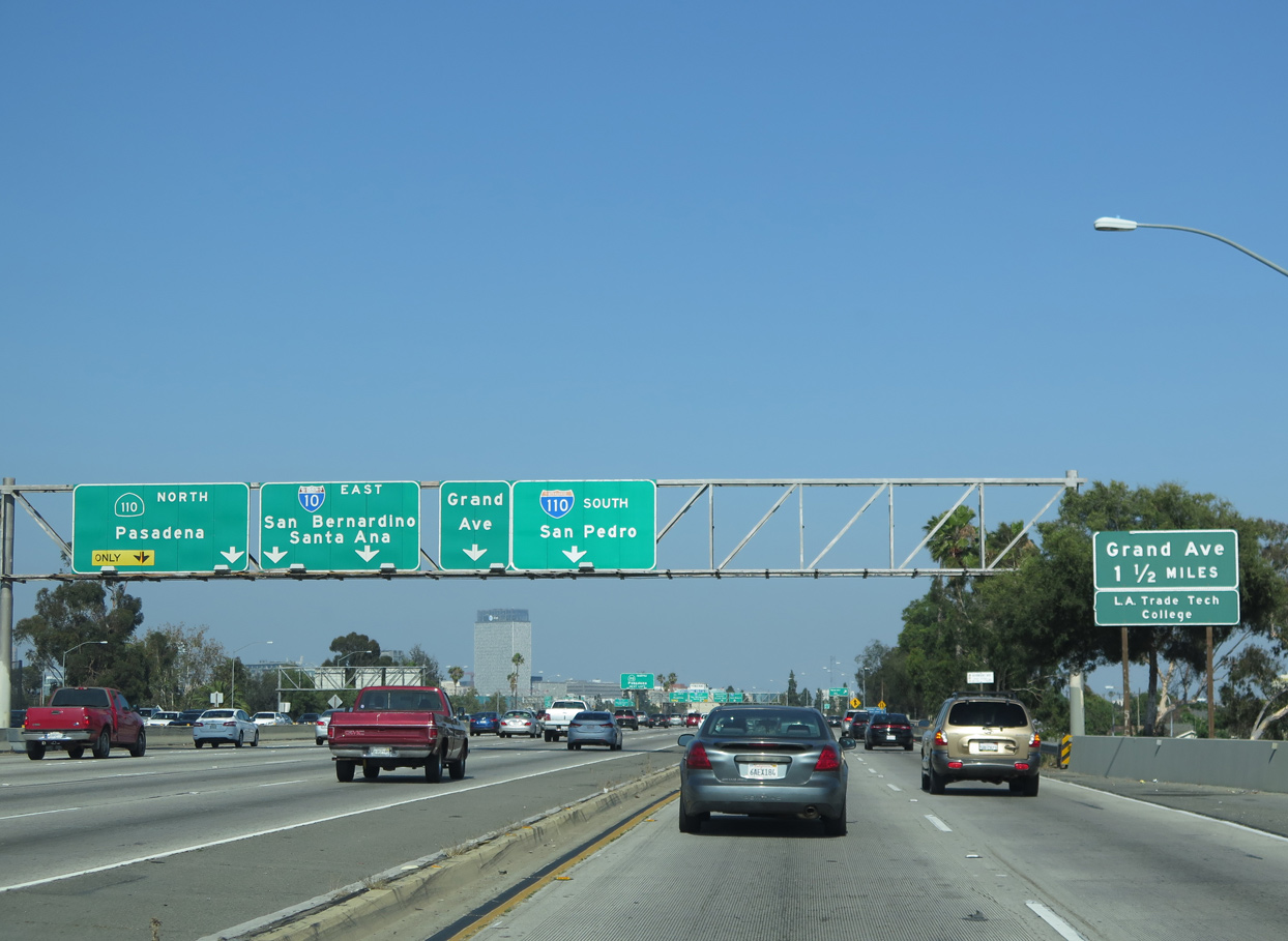
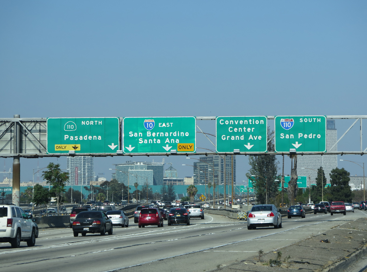
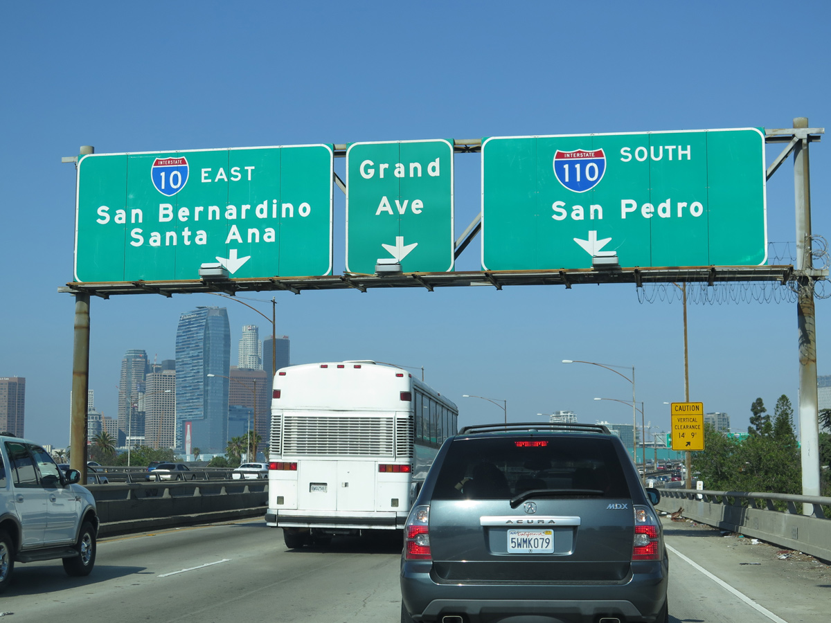
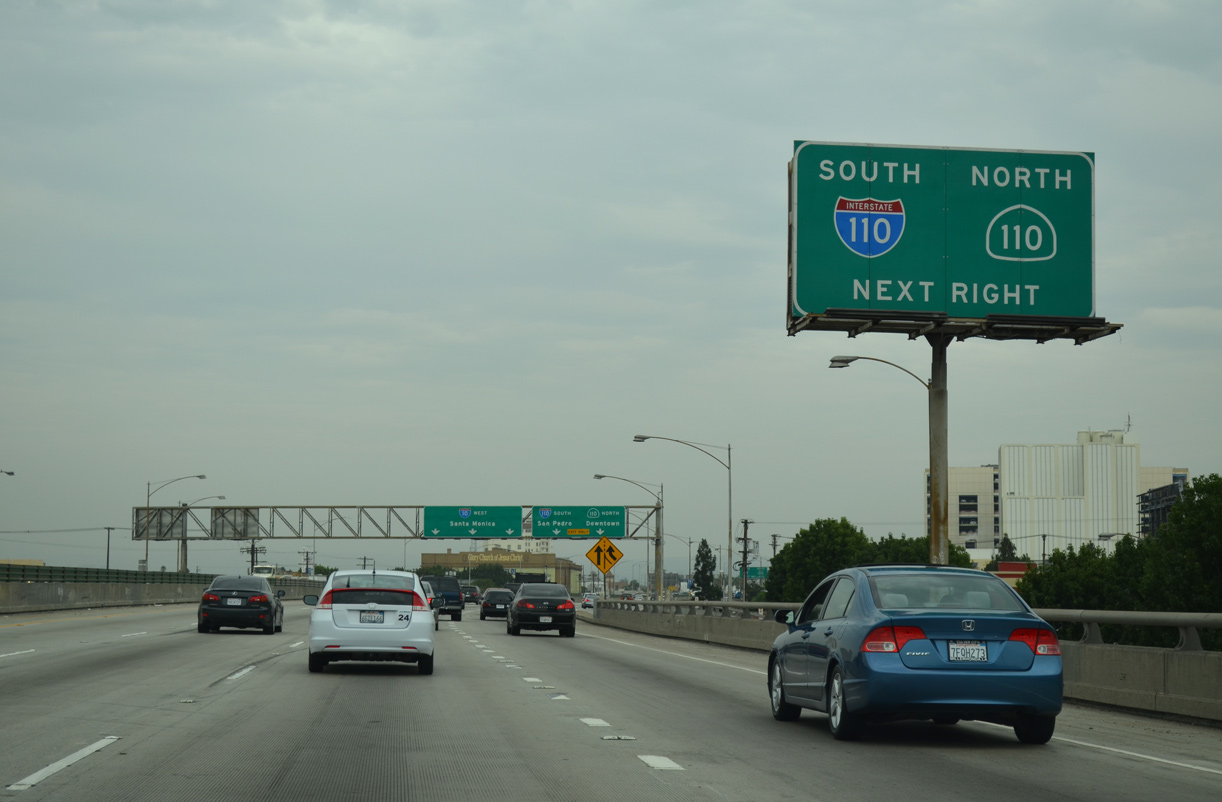
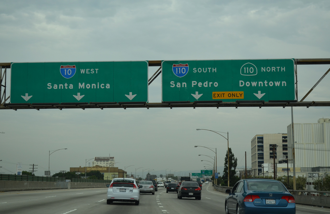
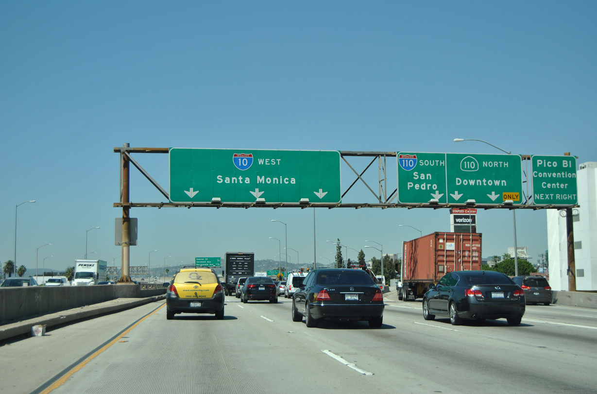
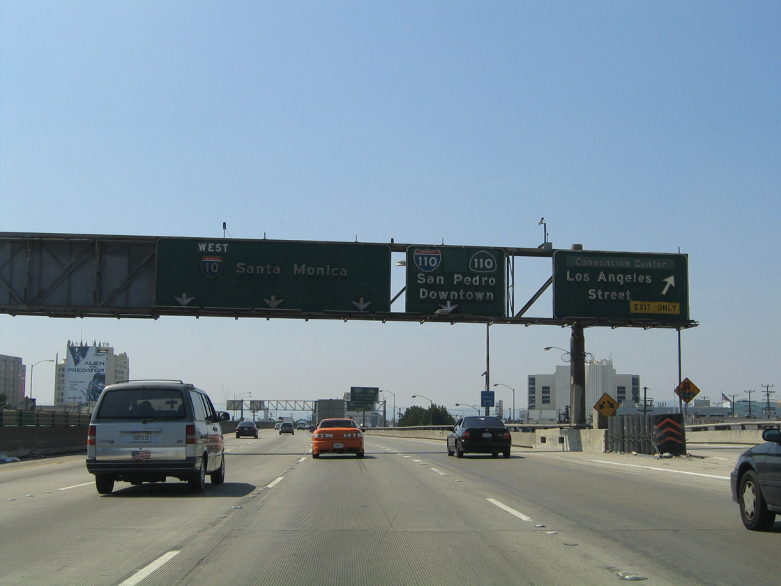
Westbound Interstate 10 (Santa Monica Freeway) reaches Exit 14 A for Los Angeles Street and the LA Convention Center. The ensuing ramp connects I-10 with I-110 (Harbor Freeway) south and SR 110 north. 03/24/16
North End – Past Views
Past Views Gallery (Tap to Expand / Collapse Section)
West at
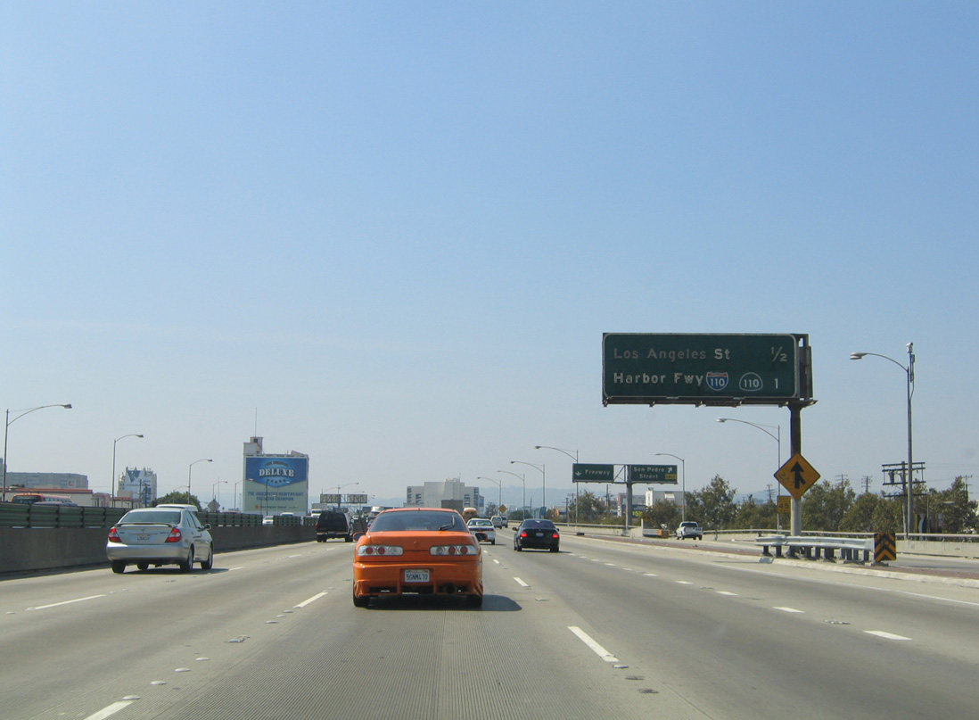
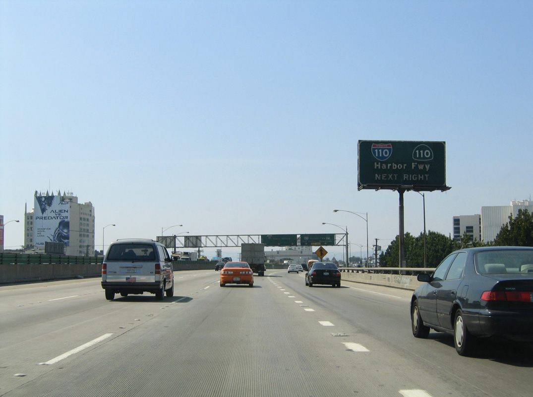
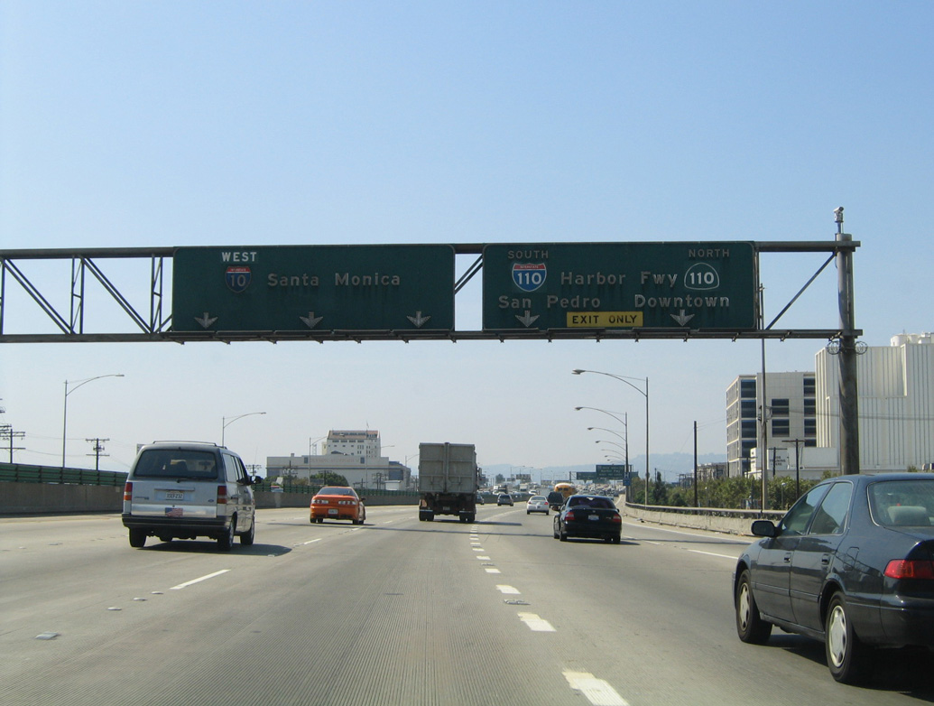
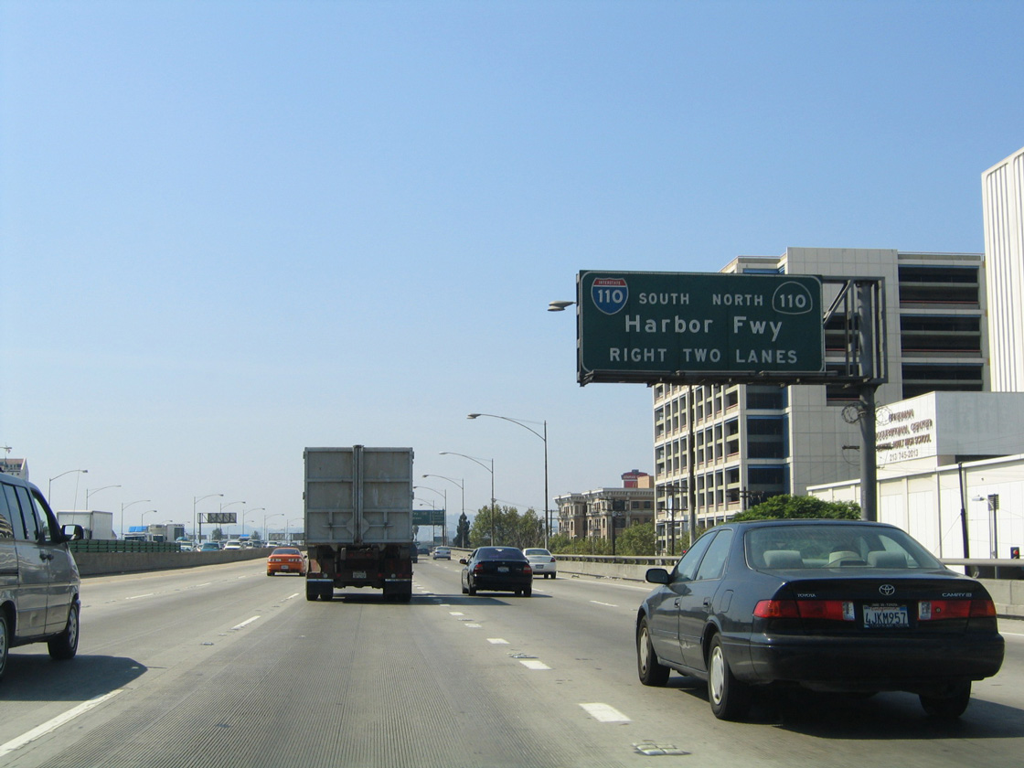
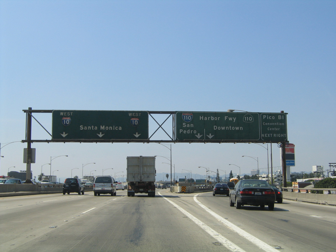
One mile ahead of Exit 13 for I-110/SR 110 on Interstate 10 west. 08/24/04
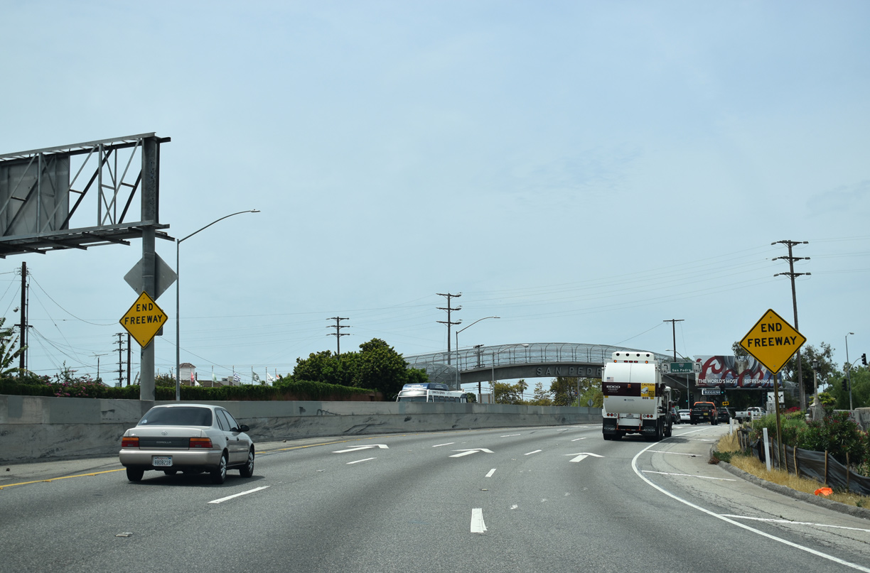
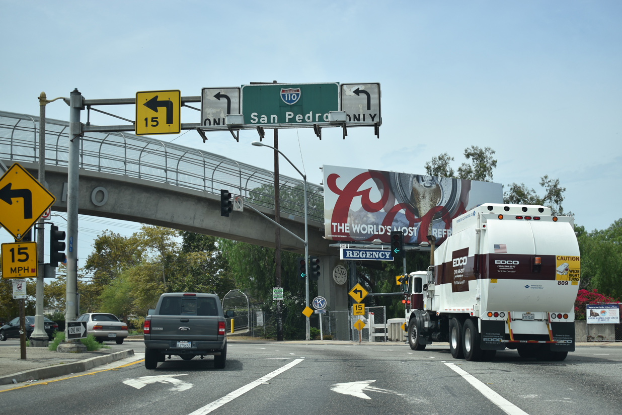
South End  / Gaffey Street ‐ San Pedro, Los Angeles, CA
South at Gaffey Street
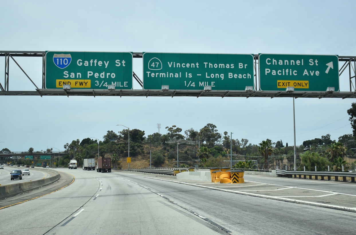
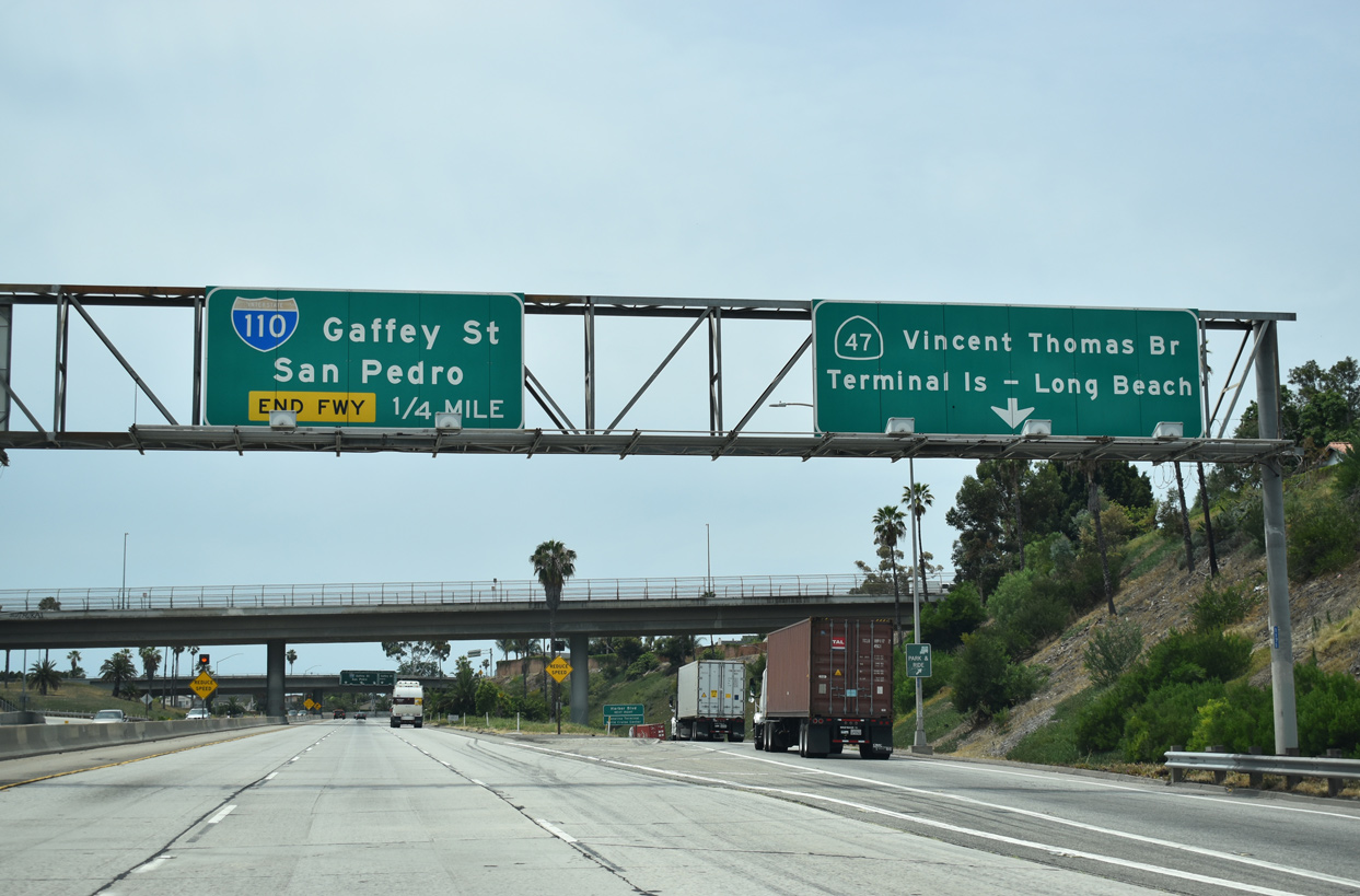
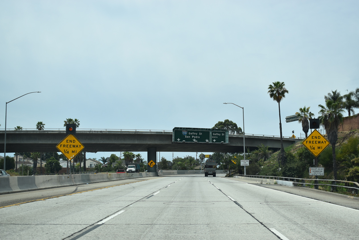
SR 47 (Seaside Freeway) stems east from the south end of I-110 across the Vincent Thomas Bridge onto Terminal Island. 07/09/18
Gaffey Street north at
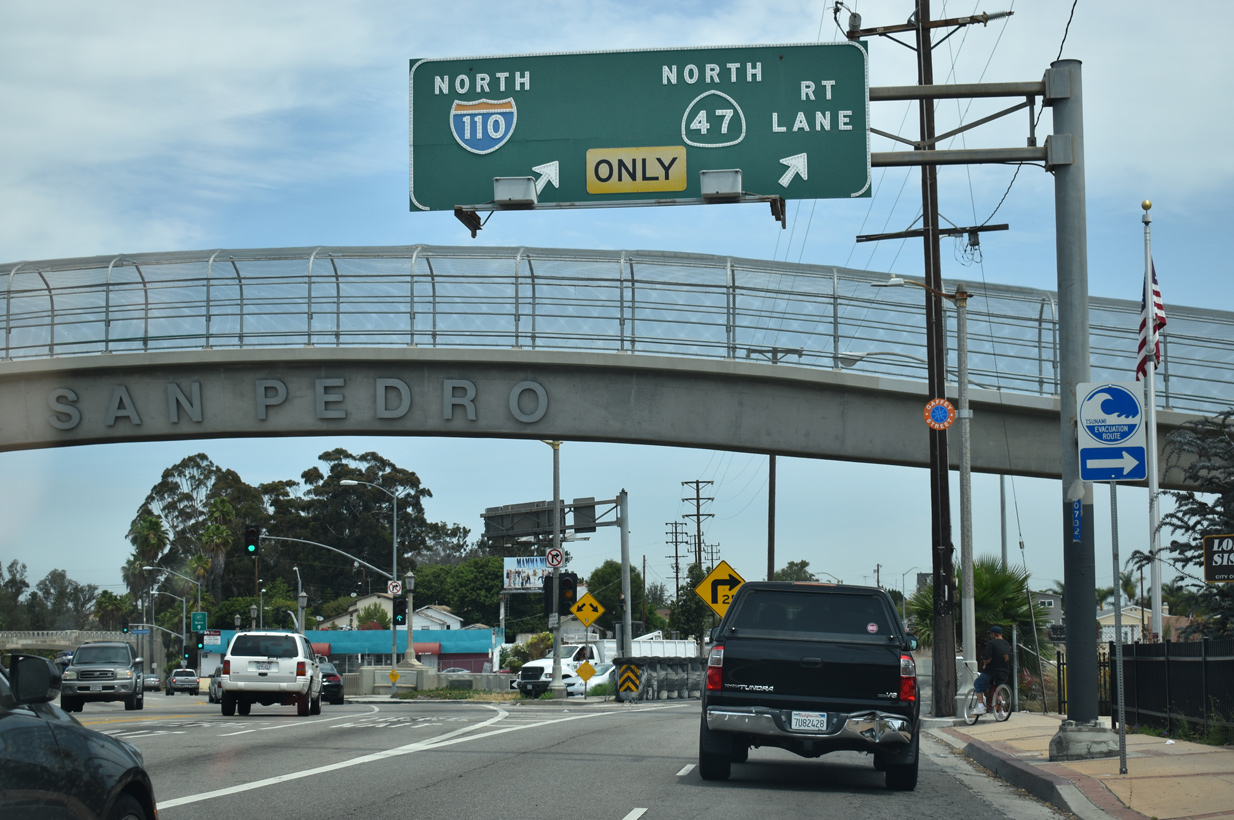
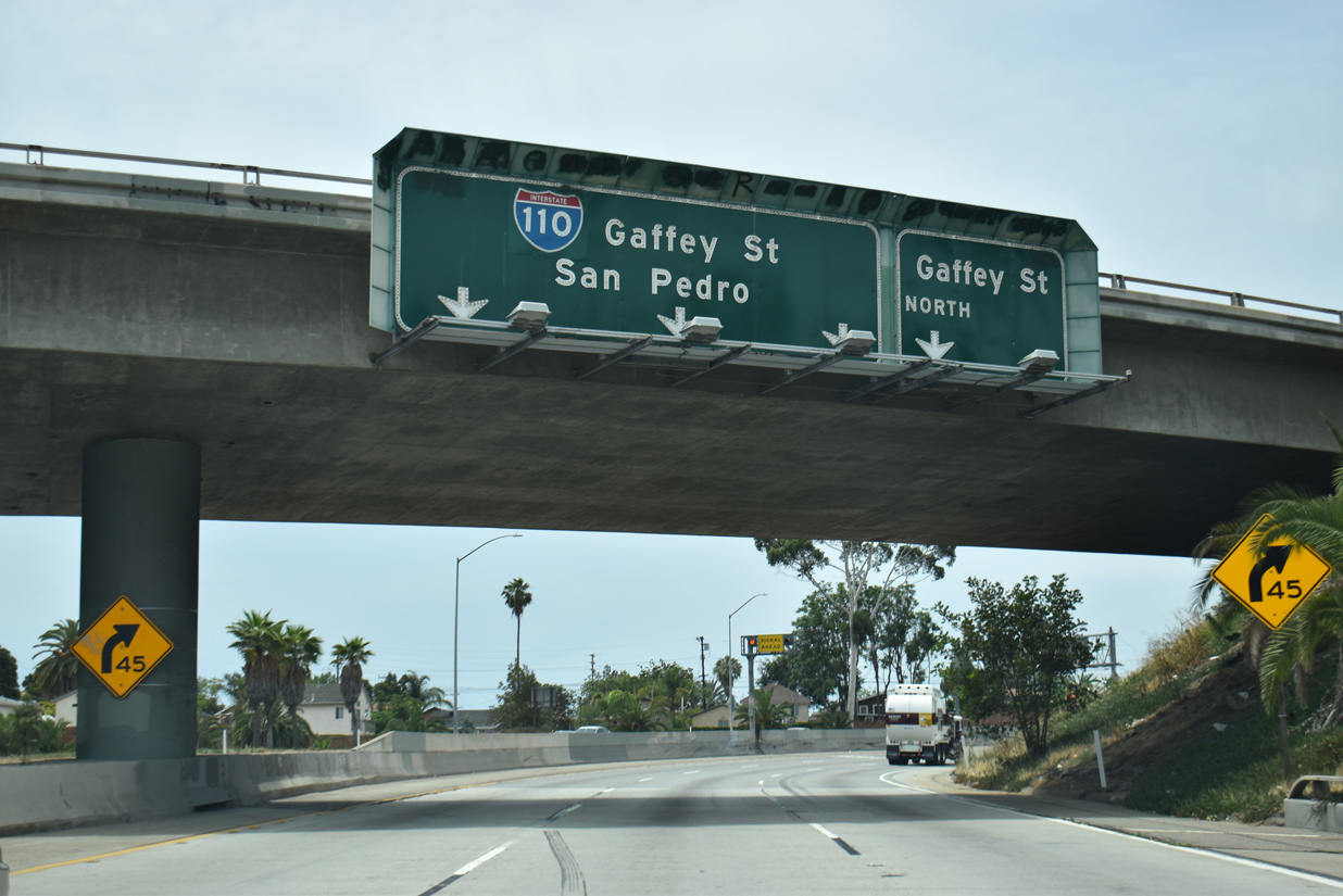
Two lanes split from Gaffey Street northbound for Interstate 110 (Harbor Freeway) and adjacent SR 47 (Seaside Freeway). 07/09/18
West at
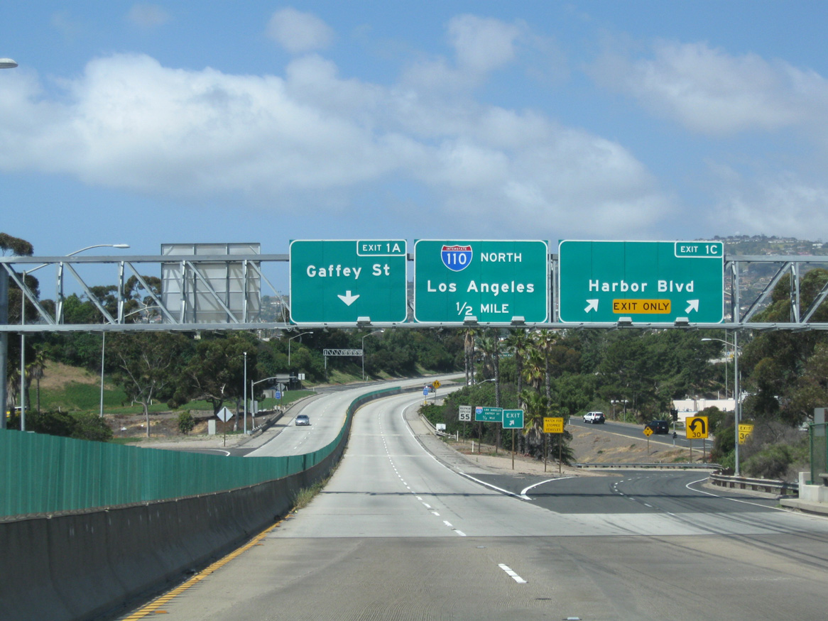
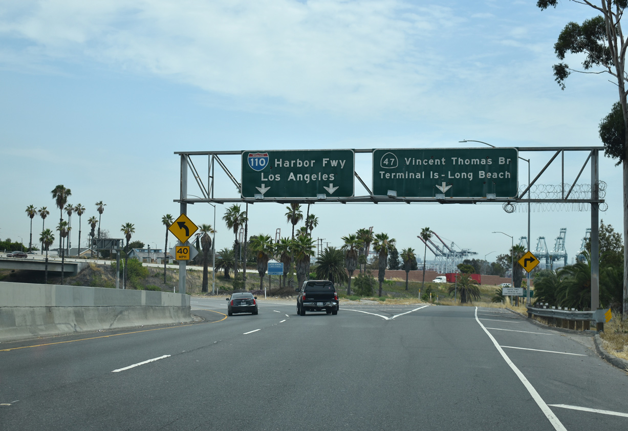
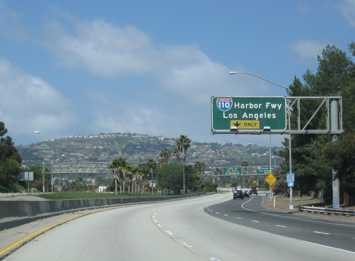
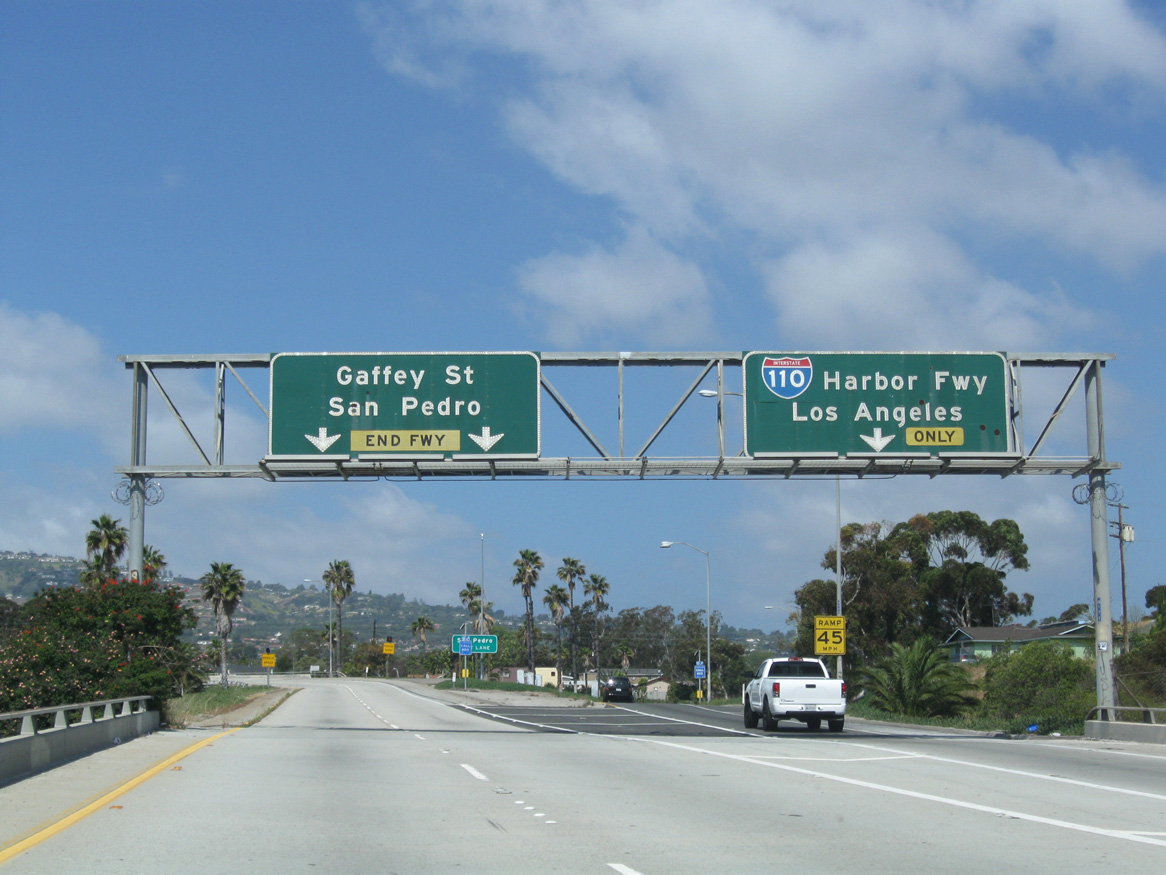
SR 47 (Seaside Freeway) lowers from the Vincent Thomas Bridge at Harbor Boulevard, one half mile from I-110 (Harbor Freeway). 05/02/10
References
- Faigin, D. (2026, March 25). Interstate 110. California Highways. Retrieved from https://www.cahighways.org/ROUTE110.html