
Interstate 42 North Carolina
Overview
U.S. 70 between Raleigh and Morehead City plays important roles, including being a primary hurricane evacuation route as well as being a major corridor for freight transport. The Interstate 42 corridor generally follows U.S. 70 southeasterly, connecting Garner, Clayton, Smithfield, Selma, Goldsboro, Kinston, New Bern and Havelock with the Port of Morehead City.
I-42 begins at a systems interchange with I-40 and Toll NC 540 (South Wake Expressway) near Garner and follows the Clayton Bypass southeast to U.S. 70 near Powhatan. U.S. 70 overtakes the freeway east to U.S. 70 Bypass at Selma. This section is not built to interstate standards, as a right in right out (RIRO) intersection with W Oak Street in Selma is one the deficiencies to be addressed.
Future I-42 follows U.S. 70 Bypass across I-95 between Selma and Smithfield. U.S. 70 rejoins the freeway south from Selma to U.S. 70 Business, where the freeway transitions to an at-grade expressway. Designated as Interstate 42 in Fall 2024, the next section of limited access highway along the U.S. 70 corridor is the Goldsboro Bypass. Extending 21.7 miles east to U.S. 70 near La Grange, this was formerly designated U.S. 70 Bypass.
A proposed 11.89 mile long bypass will take I-42 around the south side of Kinston, connecting with the existing controlled access and freeway portions of U.S. 70 east to New Bern. Southeast of New Bern, Future I-42 follows the Havelock Bypass west of Havelock. Ultimately I-42 will end near the Port of Morehead City.
In addition to connecting Morehead City with the Raleigh area, I-42 would also link Seymour Johnson Air Force Base and Cherry Point Marine Corps Air Station to the Interstate system.
The American Association of State Highway and Transportation (AASHTO) officials at the Fall 2021 meeting approved the request by the North Carolina Department of Transportation (NCDOT) for the establishment of Interstate 42 along 21.56 miles across Wayne and Lenoir Counties. NCDOT subsequently received approval by the Federal Highway Administration (FHWA) on March 16, 2022 to designate I-42 along two separate segments. The western section overlays U.S. 70 for ten miles in Johnston County from I-40 east to U.S. 70 Business / Exit 326 south of Clayton. The eastern section stretches 22 miles covering all of U.S. 70 Bypass to the north of Goldsboro and on a portion of U.S. 70 east to the exchange with NC 903 / Exit 372 near La Grange.5
Converting U.S. 70 to Interstate 42
The remaining controlled-access portions of U.S. 70 between Clayton and Morehead City are gradually being upgraded to freeway standards, and as each new section is constructed or upgraded, they will be submitted for inclusion into the Interstate system. Projects currently underway or planned for Interstate 42 include:
- U.S. 70 Goldsboro Bypass - from just west of NC 581 in Wayne County to just east of Promise Land Road in Lenoir County. Built in three stages, the western half of the 20 mile long bypass was complete from U.S. 70 in Wayne County to Wayne Memorial Drive by October 2015. The remaining 12.5 mile connection back to U.S. 70 in Lenoir County opened May 27, 2016.4 An additional 6.7 miles of U.S. 70 will be upgraded to Interstate standards from the Goldsboro Bypass to Princeton once funding is made available.
- U.S. 70 Kinston Bypass - previously unfunded per the NCDOT 2016-2025 State Transportation Improvement Plan,2 the 2018-27 plan allocates $381.1 million for the project. A southern alternative of a U.S. 70 bypass near Kinston was preferred over several northern alternatives. Estimated costs were $181 million.2 Alternative 1SB was selected and a Final Environmental Impact Statement (FEIS) and Record of Decision (ROD) was previously expected in 2022-23. Right of way acquisition was anticipated for 2026 with construction to be determined. However due to a lack of funding, the FEIS is now anticipated for 2026 and the ROD in 2027.
- U.S. 70 Improvements in James City - this project makes improvements to the U.S. 70 corridor through the James City area from south of the exchange with U.S. 17 to south of Garner Road. Construction on the $322 million project runs from Spring 2022 to
late 2024mid-2027. - U.S. 70 Havelock Bypass - from north of the Havelock City limits and extending south for approximately 10 miles to north of the Craven-Carteret county line. At an estimated cost of $323 million, construction on the limited access bypass started in September 2019. The bypass opened to traffic on December 19, 2025 while punch list work extends through Winter 2026.
Mileage by State
| North Carolina | 21.55 mi |
Data Sources
December 31, 2025 Interstate Route Log and Finders List
High Priority Corridor
Interstate 42 is part of the Fixing America's Surface Transportation (FAST) Act high priority future Interstate corridor, which is designated as Corridor 82.
History
Defined as High Priority Corridor #82 from the December 2015 Fixing America's Surface Transportation (FAST) Act, U.S. 70 between Garner and Morehead City became designated as a future interstate corridor. While a few designations were proposed (I-46 by the Transportation Alliance and I-50 by the Super 70 Corridor Commission), the North Carolina Department of Transportation (NCDOT) had submitted Interstate 36 for the 137 mile long corridor. The I-36 proposal was discussed at the May 24, 2016 American Association State Highway and Transportation Officials (AASHTO) Special Committee on U.S. Route Numbering meeting, but instead of the I-36 designation, AASHTO officials approved Interstate 42 for the U.S. 70 corridor.3 With an official number assigned for the corridor between I-40 and Morehead City, "Future I-42" signs could be installed along various segments, pending approval from the Federal Highway Administration (FHWA).3
Also, unlike Interstate 36, the I-42 designation fits into the Interstate system number grid, following a course completely north and east of I-40.
East End  ‐ La Grange, NC
West at 
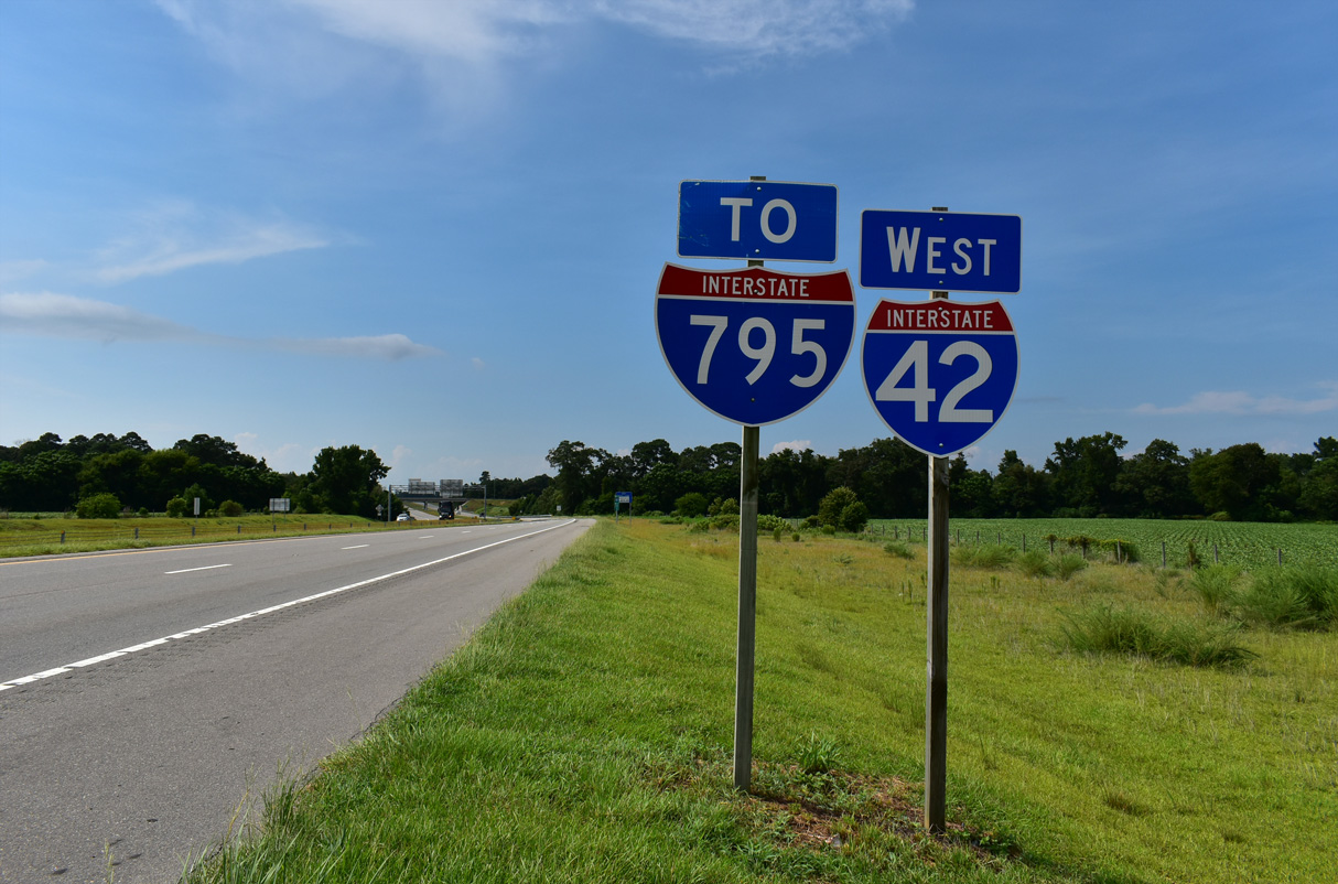
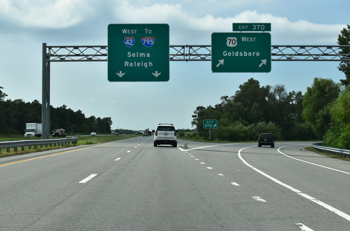
The first reassurance marker posted for Interstate 42 westbound precedes the Johnston County line. 07/29/25
West End 
 ‐ Garner, NC
West at
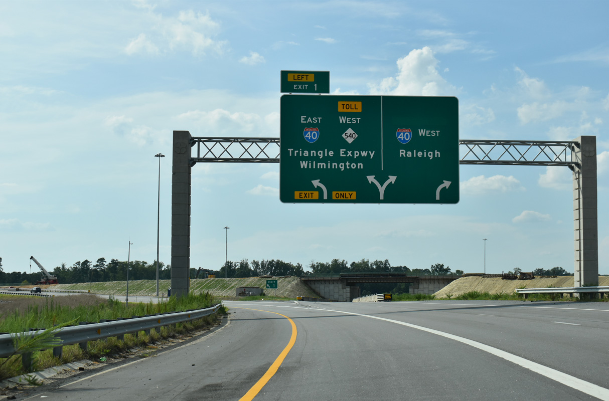
Interstate 40 travels north to I-87/440 at Southeast Raleigh. U.S. 70 crosses I-40 west at Garner along an arterial route to U.S. 401. 07/29/25
East at
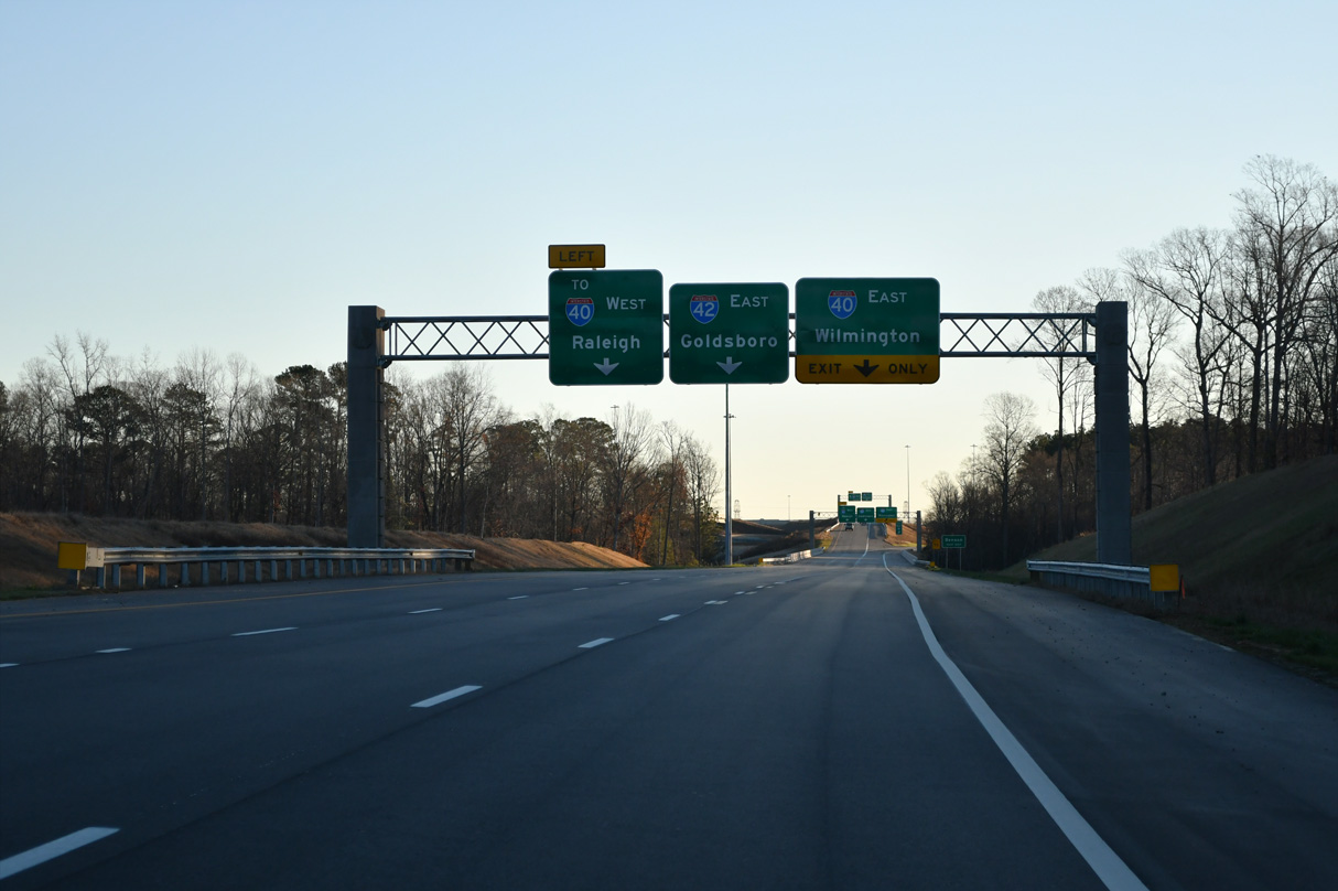
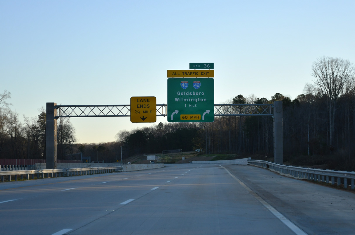
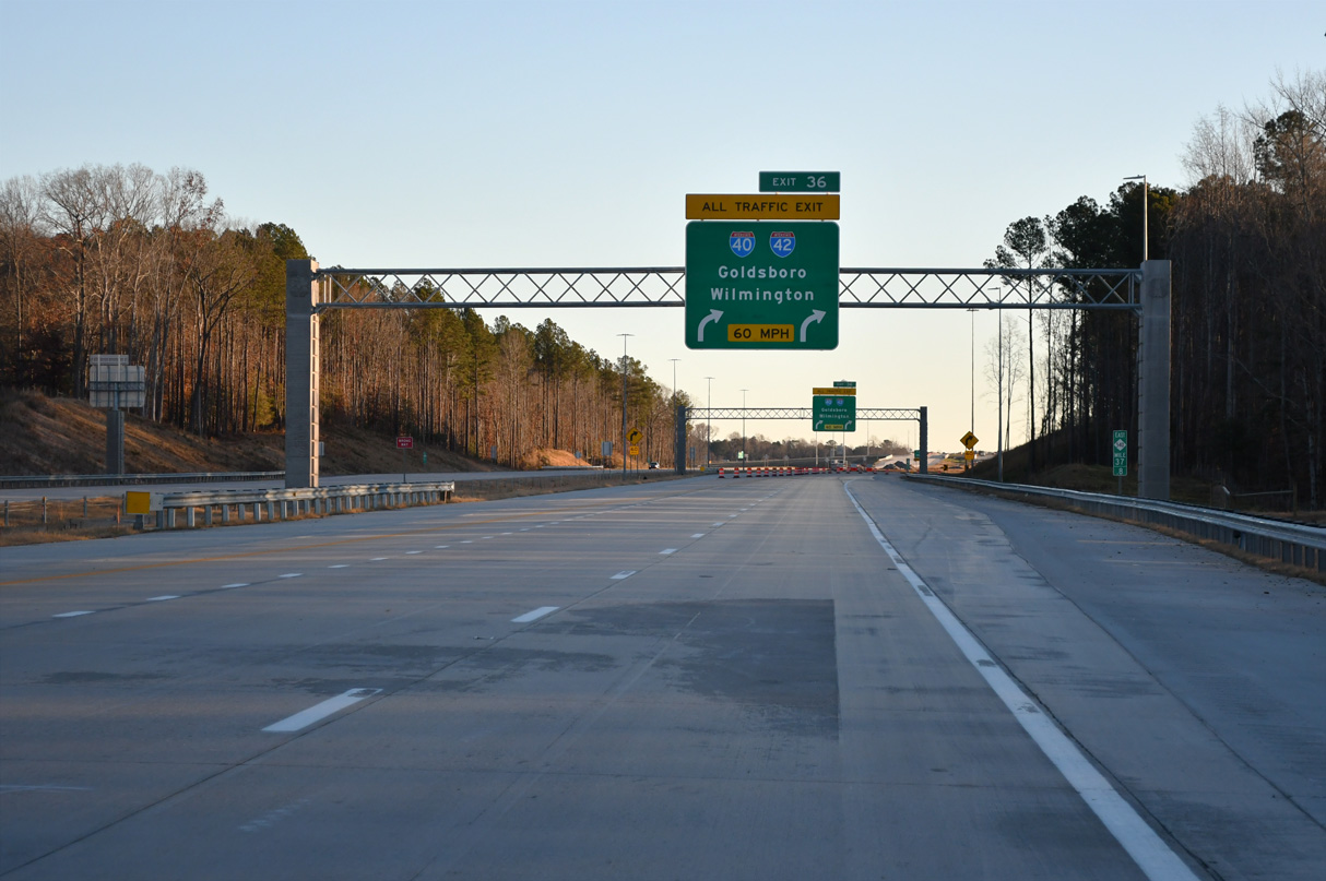
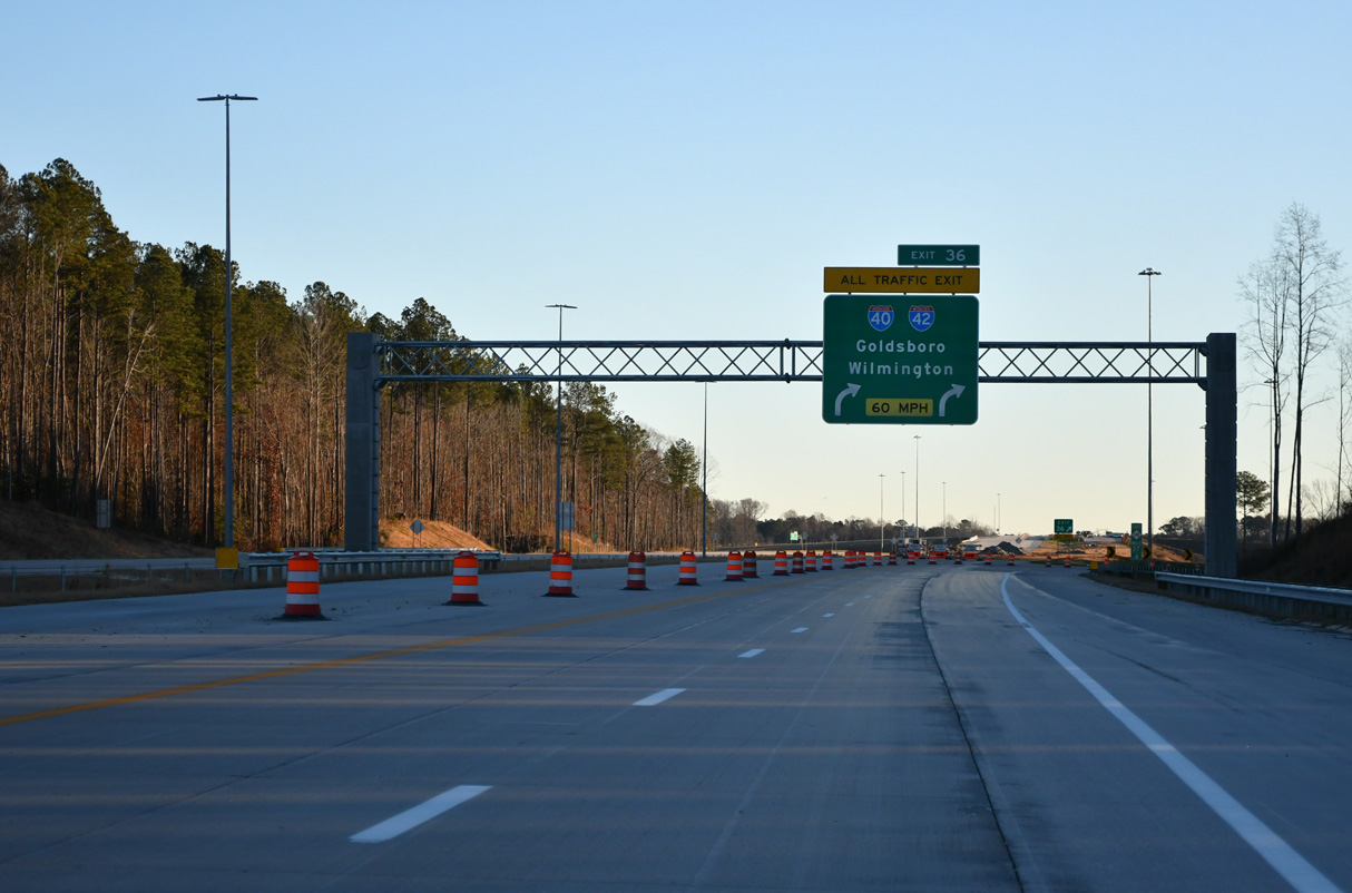
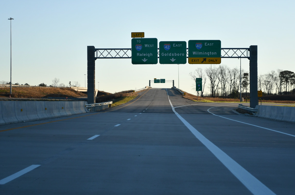
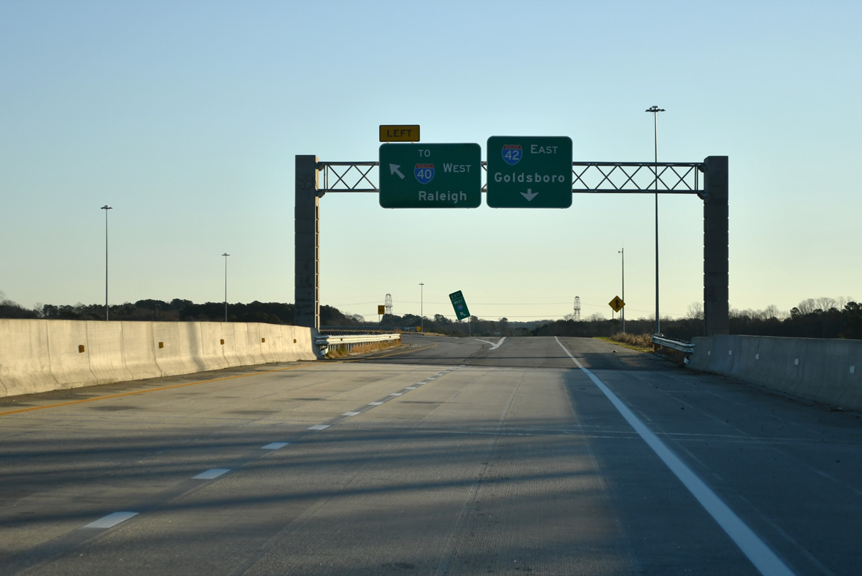
Exit 36 expands to three lanes ahead of the ramp for I-40 east to Benson and Wilmington. Two lanes continue to I-40 west and I-42 east. 12/21/24
East at
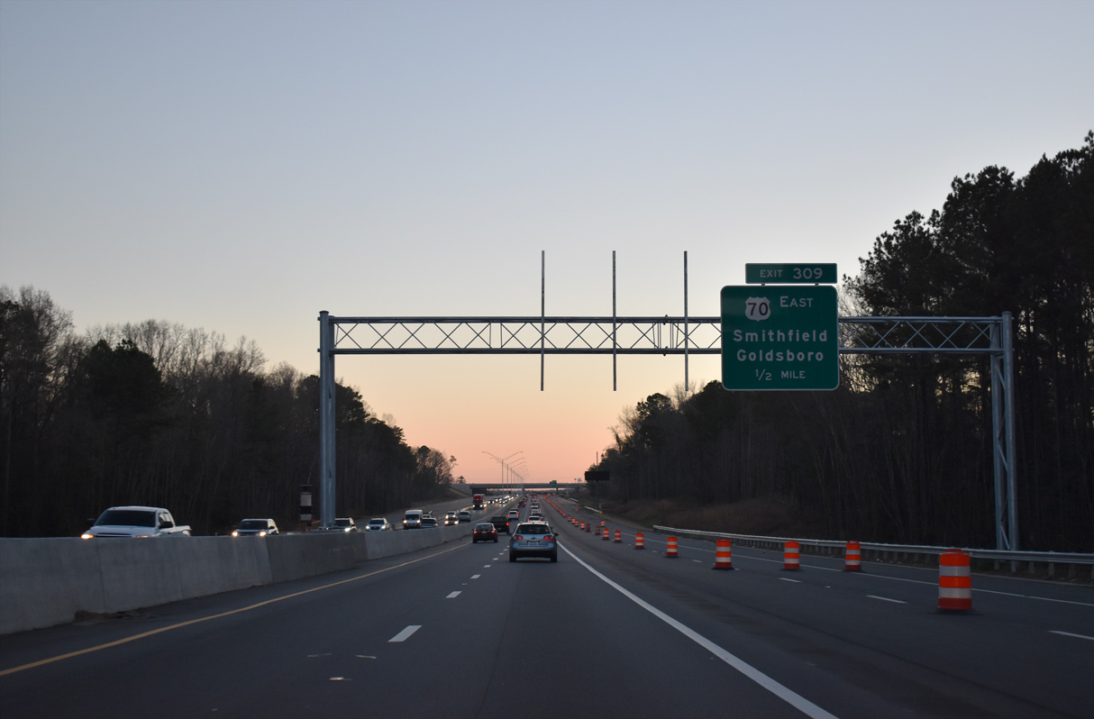
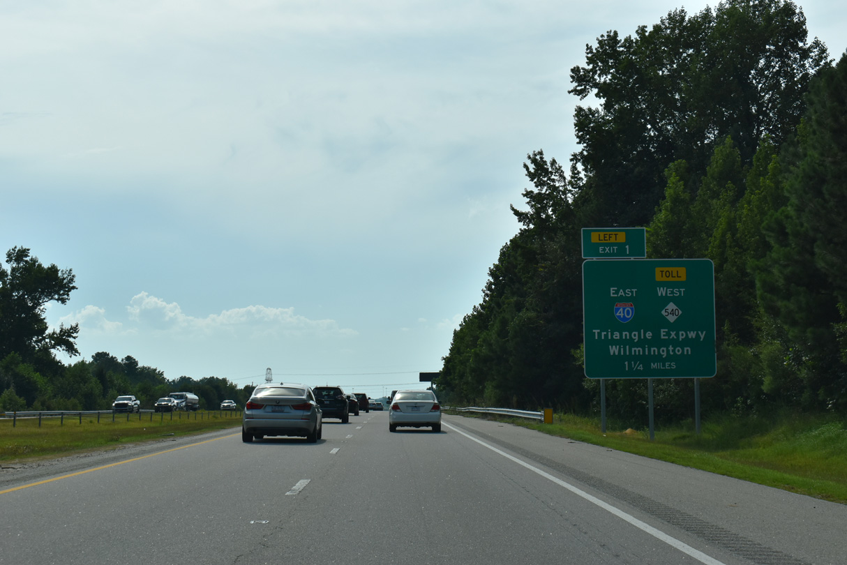
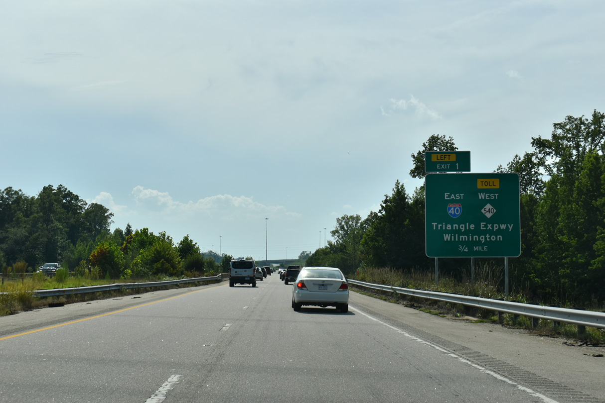
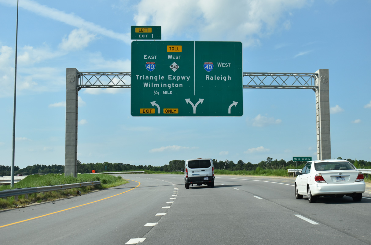
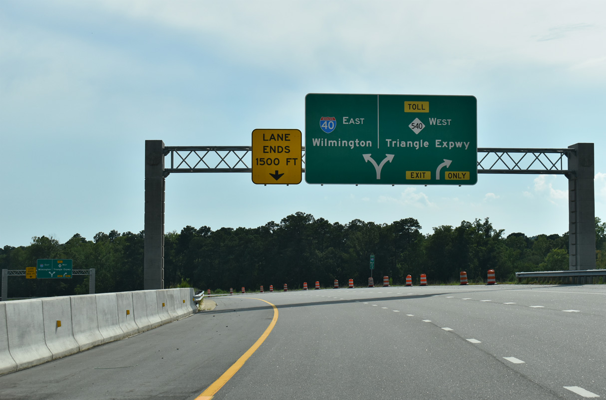
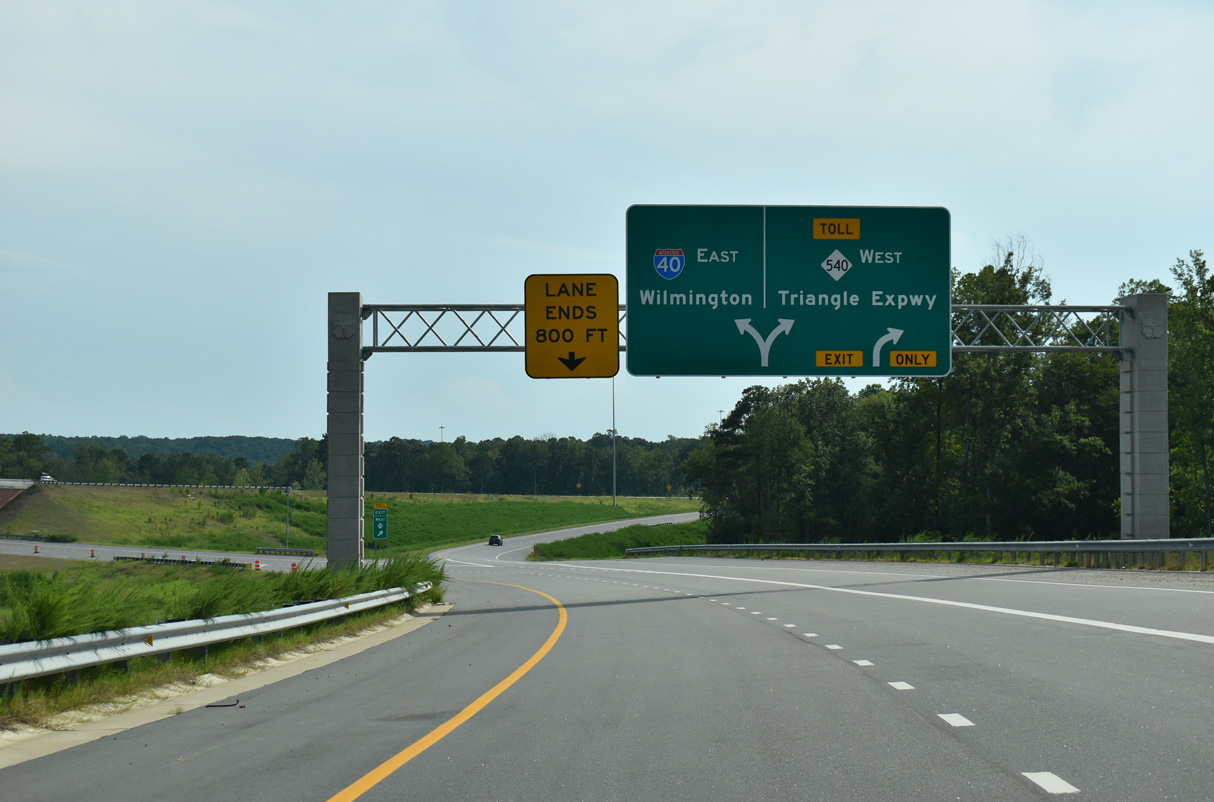
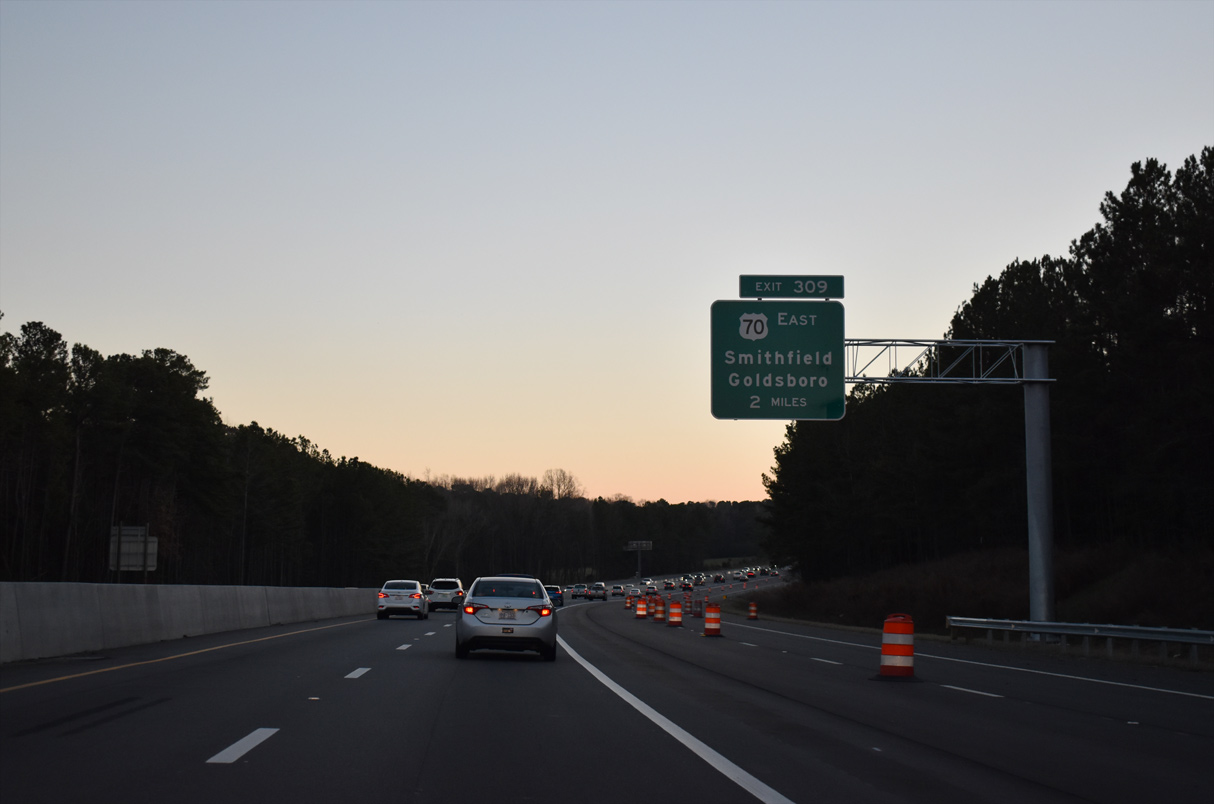
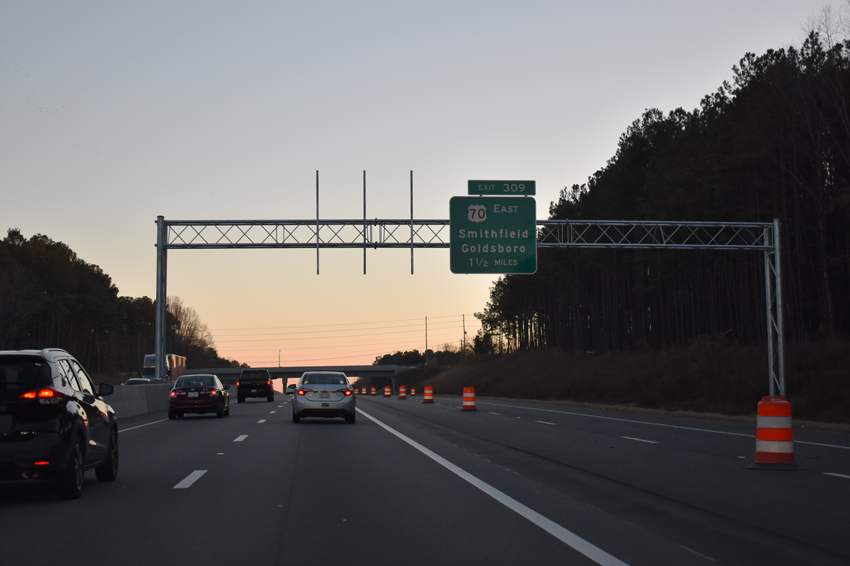
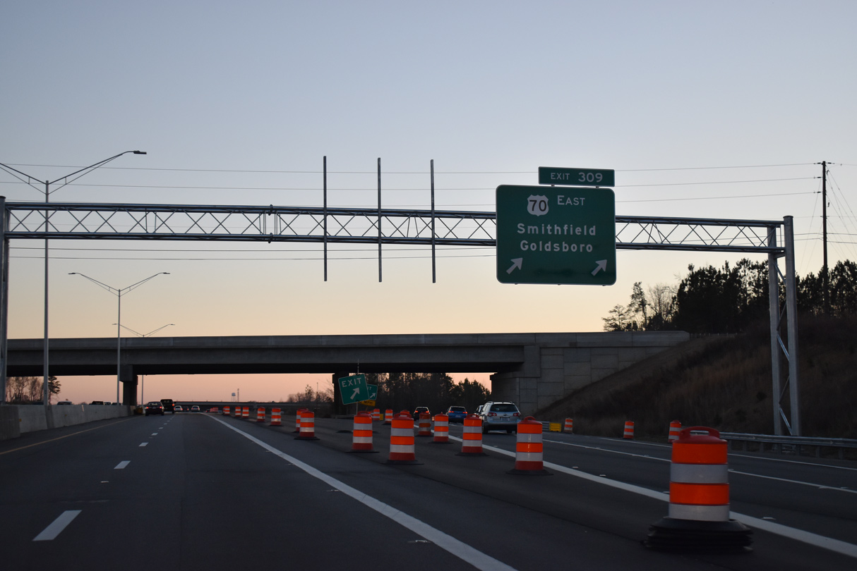
Exits for both I-42 east to Smithfield and the Triangle Expressway (TriEx) west separate from I-40 eastbound beyond the New Bethel Church Road (SR 2703) overpass. 12/27/22
East
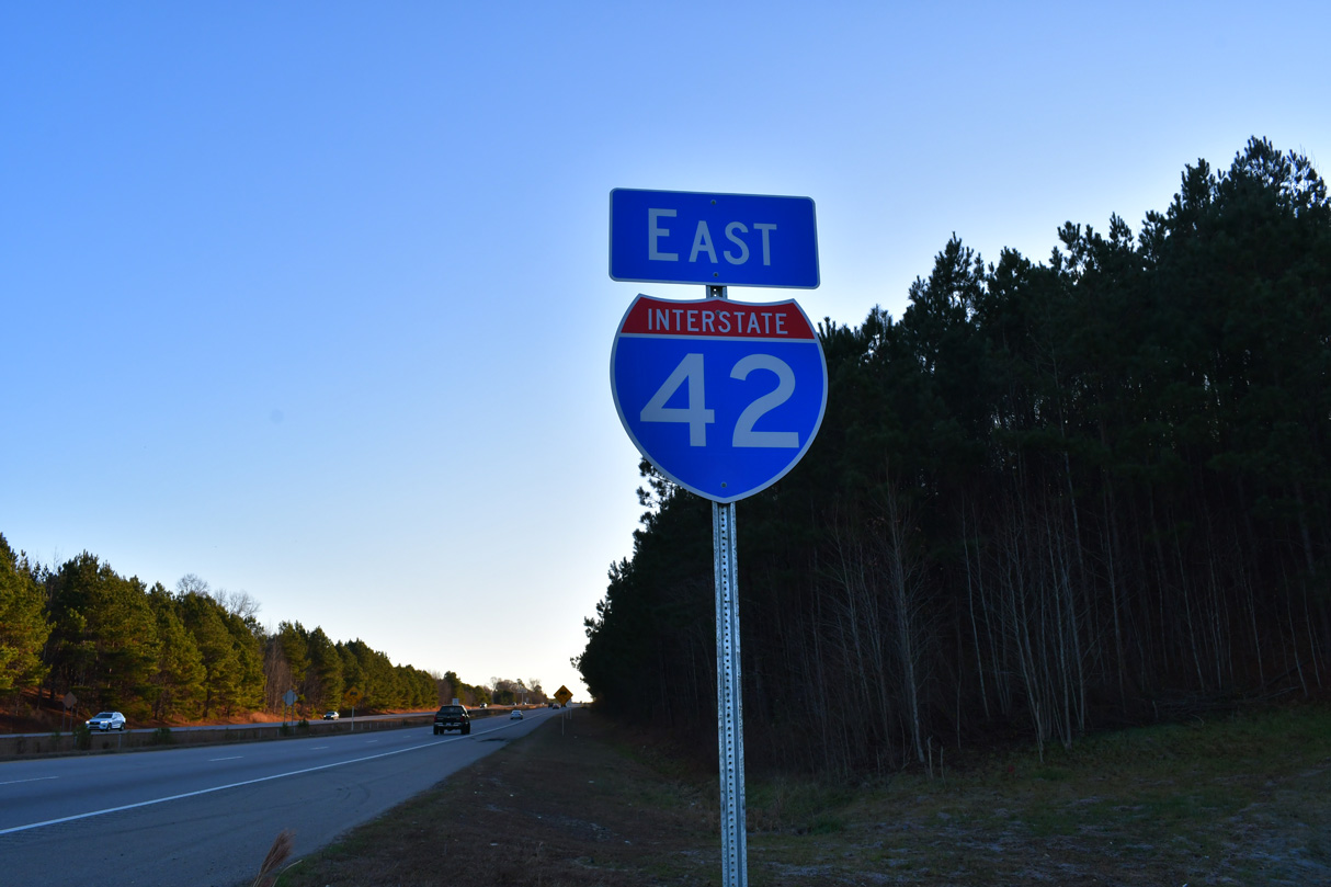
The first confirming marker for Interstate 42 east. 12/21/24
West End – Past Views
East
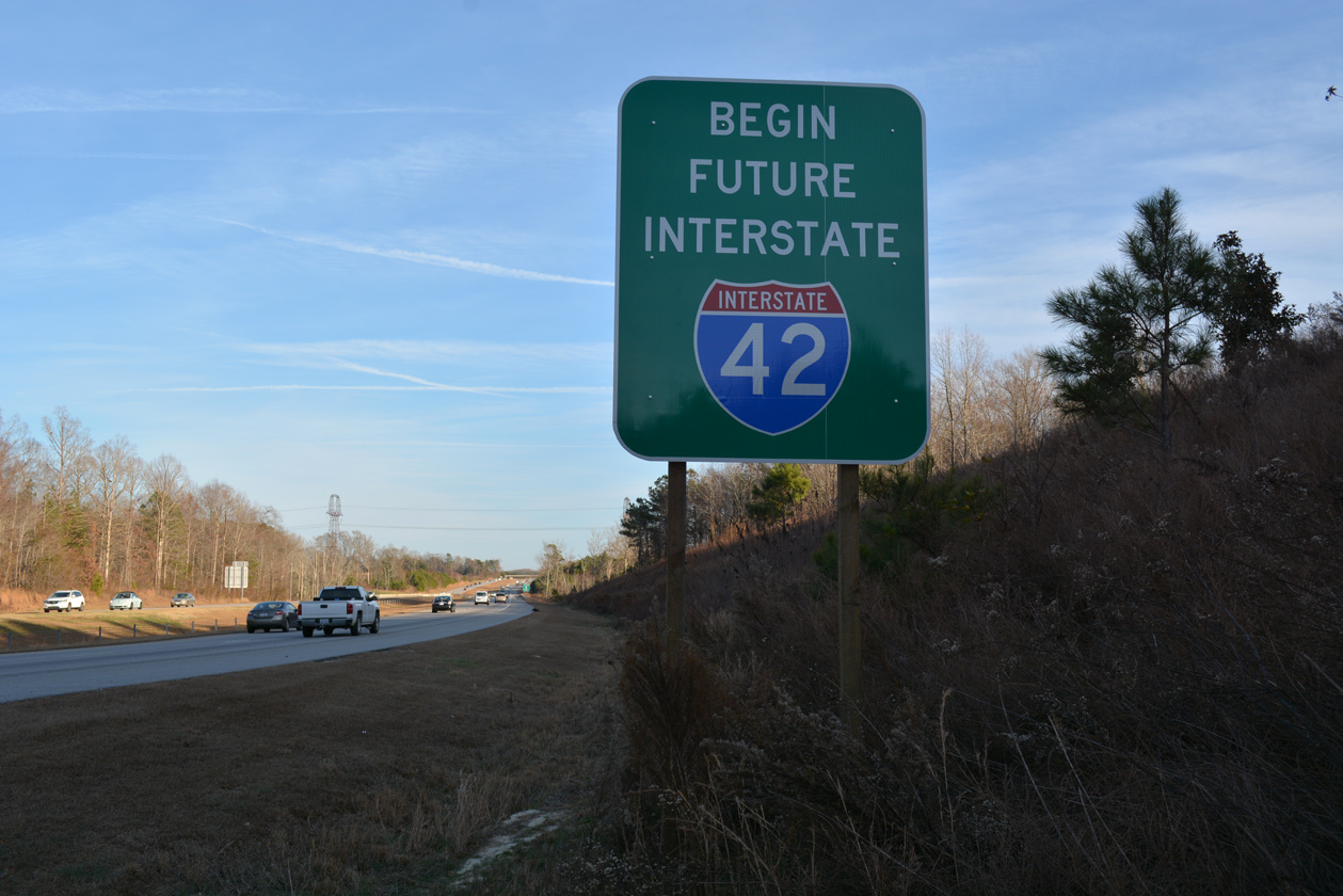
Future Interstate 42 corridor signs were posted at the eventual west end of the route along the Clayton Bypass in 2016. 12/15/16
References
- U.S. 70 Kingston Bypass, NCDOT website. Retrieved from https://www.ncdot.gov/projects/kinston-bypass
- Strategic Transportation Investments, NCDOT website. Retrieved from https://www.ncdot.gov/initiatives-policies/Transportation/stip/Pages/strategic-transportation-investments.aspx
- "North Carolina Gains Names for Two New Interstate Designations." NCDOT website.
- "U.S. 70 Goldsboro bypass opening Friday", www.witn.com (news and TV).
- "Interstate 42 Coming to Eastern N.C. Corridor." North Carolina Department of Transportation (NCDOT), press release. March 16, 2022. Retrieved from https://www.ncdot.gov/news/press-releases/Pages/2022/2022-03-16-i-42-coming-us-70-corridor.aspx