
Interstate 27
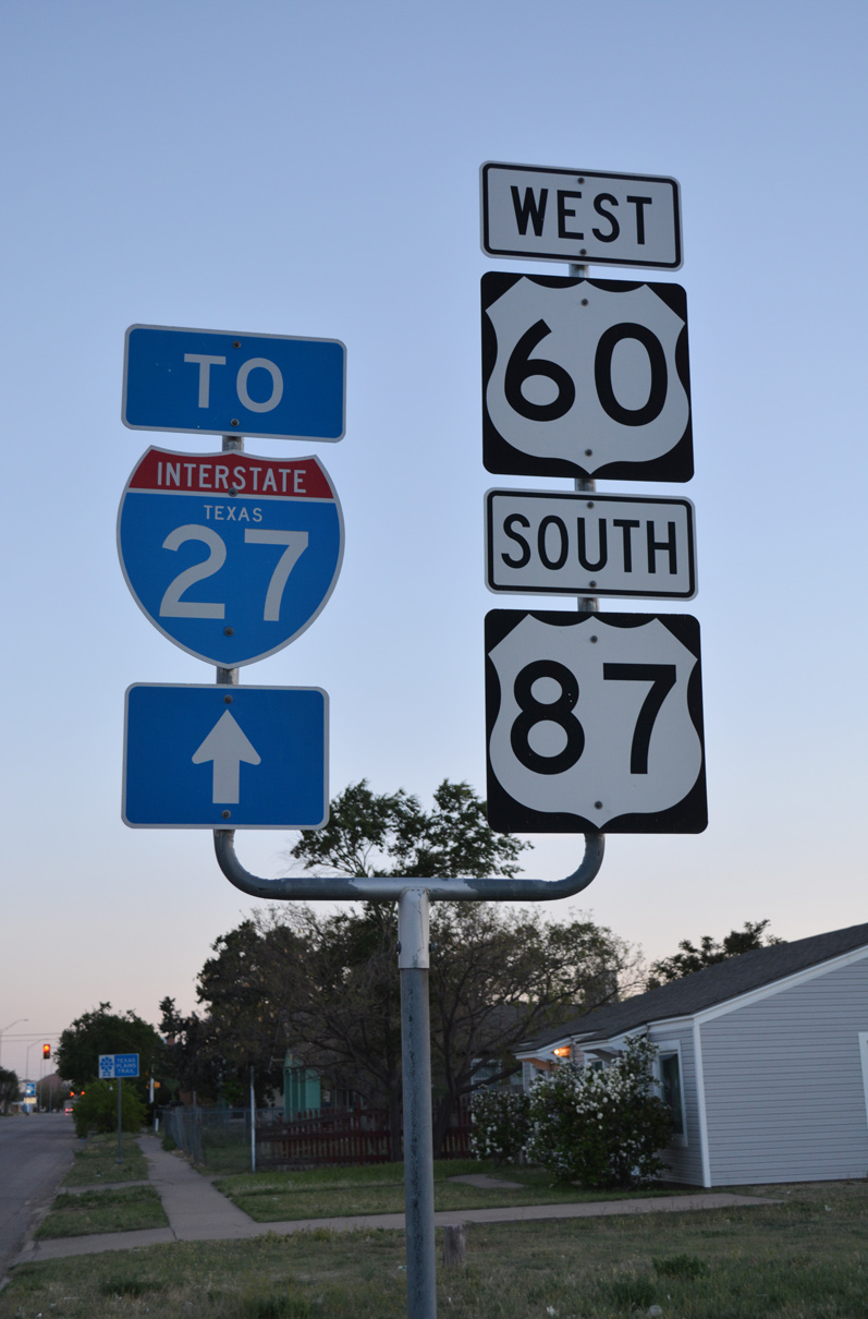
Overview
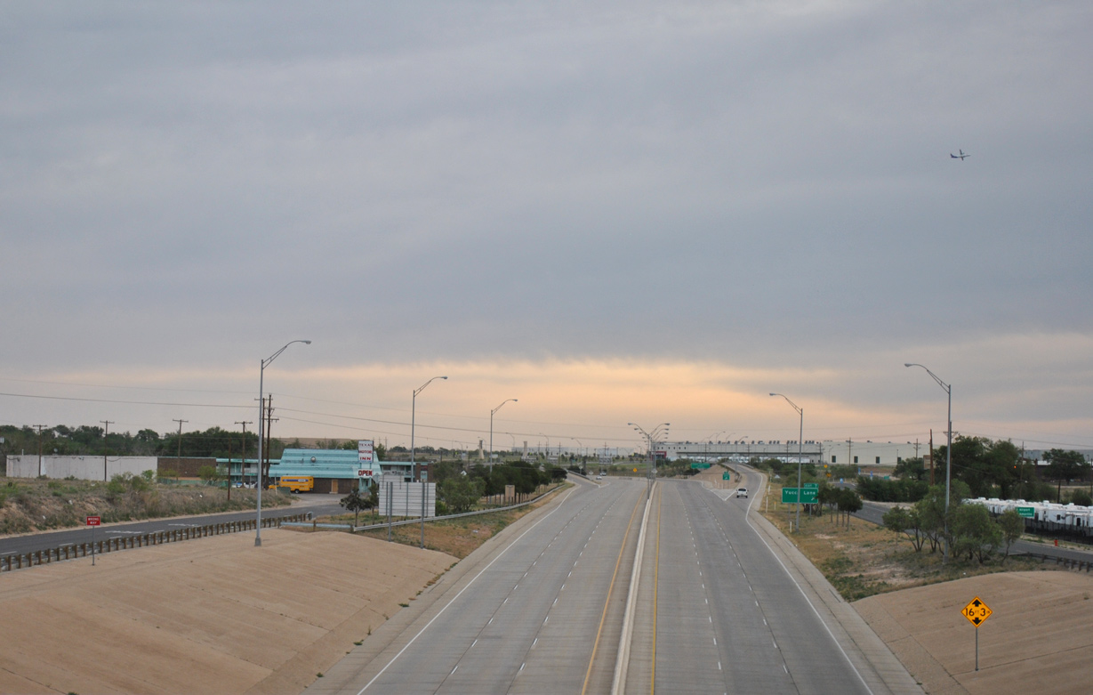
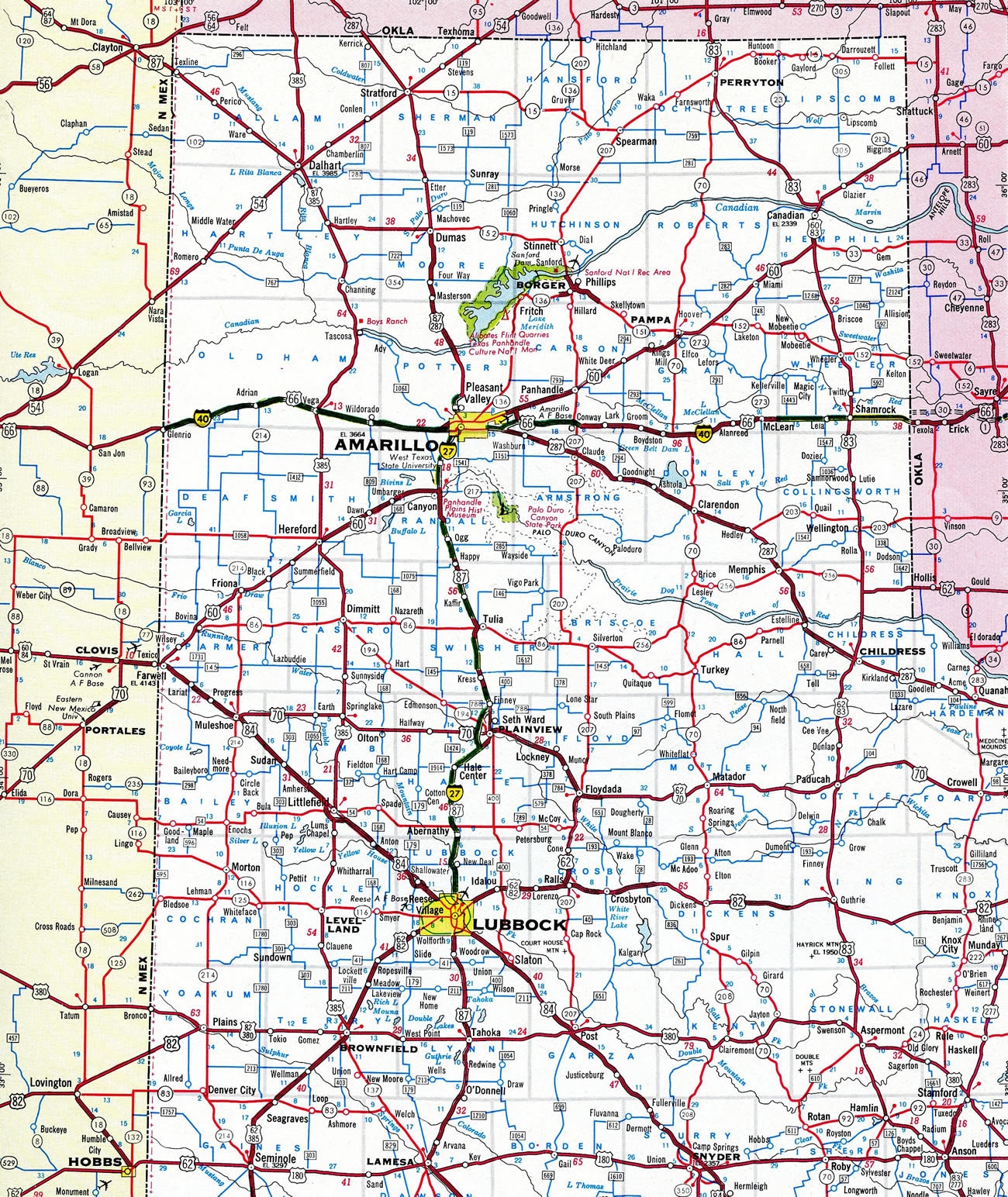
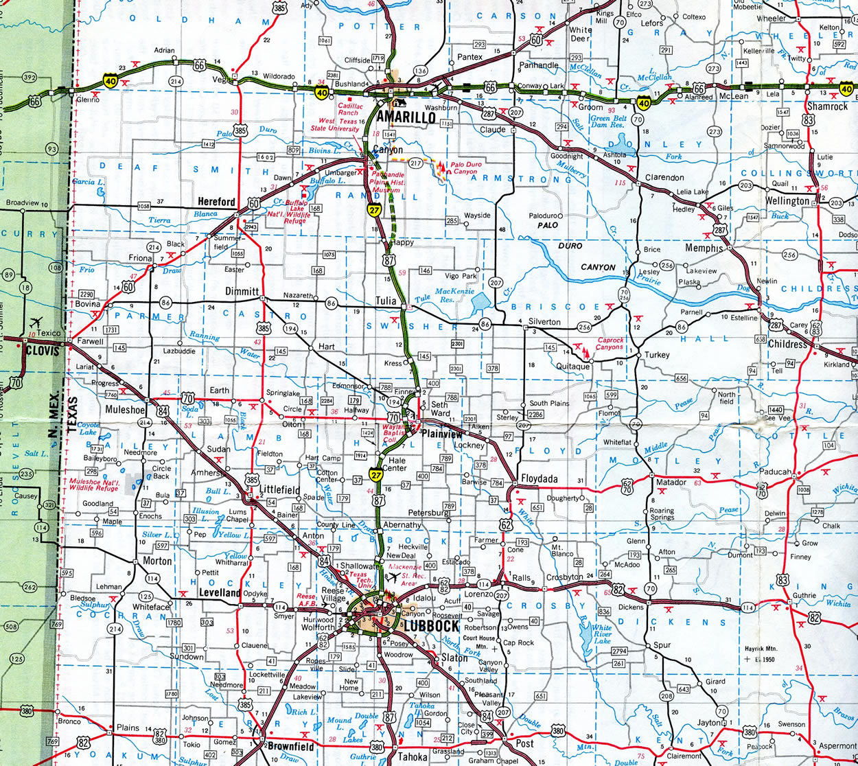
Traversing the high, rolling plains of the Texas Panhandle, IH 27 is an intrastate route connecting the cities of Lubbock and Amarillo. Bisecting Lubbock between State Loop 289, a limited access beltway, IH 27 extends the freeway along U.S. 87 north from Lubbock County to Downtown Lubbock, where it curves eastward alongside Mac Kenzie State Park. A three level interchange joins IH 27 with Loop 289 on the north side of the city as the freeway departs for Lubbuck International Airport (LBB) and the town of New Deal.
Leading away from Hub City, IH 27/U.S. 87 reach the city of Abernathy on the Hale County line. There the freeway briefly transitions to an urban design, dipping below the Main Street overpass east of the city center. Continuing, IH 27 shifts one mile west before bee lining northward to the city of Hale Center. Once at the city center, the freeway again navigates through an urban section, dropping below grade at Cleveland Avenue. IH 27 through both Abernathy and Hale Center are subject to closure due to flooding during heavy thunderstorms.
Beyond Hale Center, IH 27/U.S. 87 angle northeast across agricultural areas to Furguson, where a Business Loop separates eastward to the city of Plainview. The freeway mainline circumvents the west side of the city to Columbia Street, where Business Loop IH 27 returns. Northward from there, IH 27 traverses a rural route by Kress, Tulia and Happy, where U.S. 87 branches west to Canyon.
U.S. 87 combines with U.S. 60 at Canyon along an expressway leading north to IH 27. Construction of IH 27 directly overlaid the original four lane highway for U.S. 60/87 heading toward Amarillo. Within Amarillo, the freeway turns easterly ahead of the Potter County line before curving back north to conclude at IH 40, opposite U.S. 287 and the dual couplets of U.S. 60/87 through Downtown.
The Texas Department of Transportation (TxDOT) submitted an application to the American Association of State Highway and Transportation Officials (AASHTO) to extend Interstate 27 south 4.2 miles from Lubbock to County Road 7500. The extension lengthens IH 27 to the planned exchange with future Loop 88. AASHTO approved the request at the Fall 2023 Route Numbering Committee Meeting. Construction on Loop 88 - Section 3C, which includes the directional T interchange with U.S. 87, is scheduled for letting in October 2025.
Mileage by State
| Texas | 128.47 mi |
Data Sources
TxDOT Statewide Planning Map. https://www.dot.state.tx.us/apps/statewide_mapping/StatewidePlanningMap.html
High Priority Corridor
Interstate 27 is part of High Priority Corridor 38: Ports to Plains Corridor.
Parallel U.S. Routes
Interstate 27 follows U.S. 87 for its entire length, with separations between Exits 63 and 77 and again between Exits 88 and 110. U.S. 60 overlaps with IH 27 from Canyon north to Amarillo, while U.S. 84 parallels it through Lubbock.
Port to Plains Corridor
Long standing proposals advocated extending Interstate 27 south from Lubbock to IH 20 in the vicinity of Midland-Odessa, and possibly further to San Angelo, IH 10 and a border crossing with Mexico. A feasibility study for the Port to Plains High Priority Corridor was conducted in 2000, though upgrades were mostly done to U.S. 87 in place of building new stretches of freeway. The Port to Plains Corridor was previously proposed as a divided highway running 963 miles north from Laredo, Texas to Denver, Colorado. It was designated as a high priority corridor in 1998 by the U.S. Congress.1
The Ports to Plains Alliance sought a new feasibility study for extending Interstate 27 south in 2015. Having gained the support of San Angelo Mayor Dwain Morrison, the potential study required endorsement from the county before the Texas Department of Transportation (TxDOT) would move forward with it.2 Referencing the lack of a connection to the Interstate system and potential economic growth and stability, subsequent actions by San Angelo city council on March 19, 2019 endorsed the IH 27 extension. Projected costs at the time to upgrade the 500 mile long Port to Plains Corridor south from Lubbock to Laredo topped $5.2 billion. This included potential cost savings by coupling the leg between Midland-Odessa and San Angelo with the IH 14 corridor.3
The extension of Interstate 27 was signed into law as part of the $1.5 trillion fiscal year 2022 omnibus appropriations bill. The Legislation outlines a route taking IH 27 south from Lubbock to Laredo, Texas and north to Raton, New Mexico. The infrastructure bill makes the future corridor eligible for federal funding.1 The Port to Plains Corridor in Texas overlays U.S. 87 south to San Angelo, with a loop west to Midland along SH 349 from Lamesa and along SH 158 to Sterling City. The Port to Plains Corridor continues south from San Angelo along U.S. 277 to Del Rio and Carrizo Springs, and U.S. 83 to Laredo.
North from Amarillo, Texas the Port to Plains Corridor follows both U.S. 87 northwest to New Mexico via Delhart and U.S. 287 to the Oklahoma Panhandle via Stratford. The corridor lines U.S. 87 northwest to I-25 at Raton and U.S. 287 northward to Boise City, Oklahoma and I-70 at Limon, Colorado.
History
Interstate 27 was not an original Interstate highway. It was approved by the Federal Highway Administration on December 12, 1968. Approval by the Texas State Highway Commission followed on February 1, 1969.4 The last segment of Interstate 27 (from 19th Street to 54th Street in Lubbock) opened to traffic on September 3, 1992.5,6
The turbine interchange where IH 27 and IH 40 meet south of Downtown Amarillo was reconfigured during a $33 million, three year project completed in 2001.
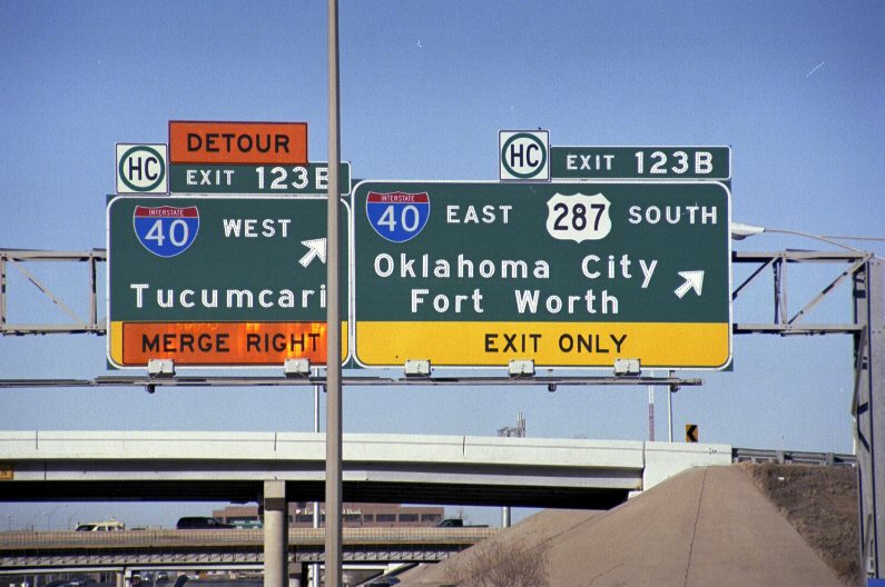
The exchange joining IH 27/U.S. 60-87 with IH 40/U.S. 287 in Amarillo originally lacked a direct ramp from IH 40 east to IH 27 south. Started in January 2017, construction built a new flyover replacing the previous ramp configuration using the frontage road system. The direct connector opened temporarily in September 2018, and permanently on November 15, 2018. Associated work through Spring 2019 widened the IH 27 bridge across SE 26th Avenue.7
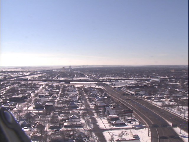
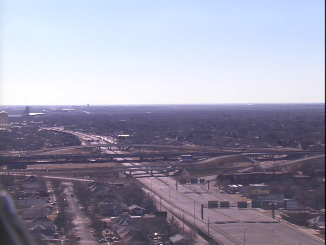
North End  ‐ Amarillo, TX

 North
North  West at
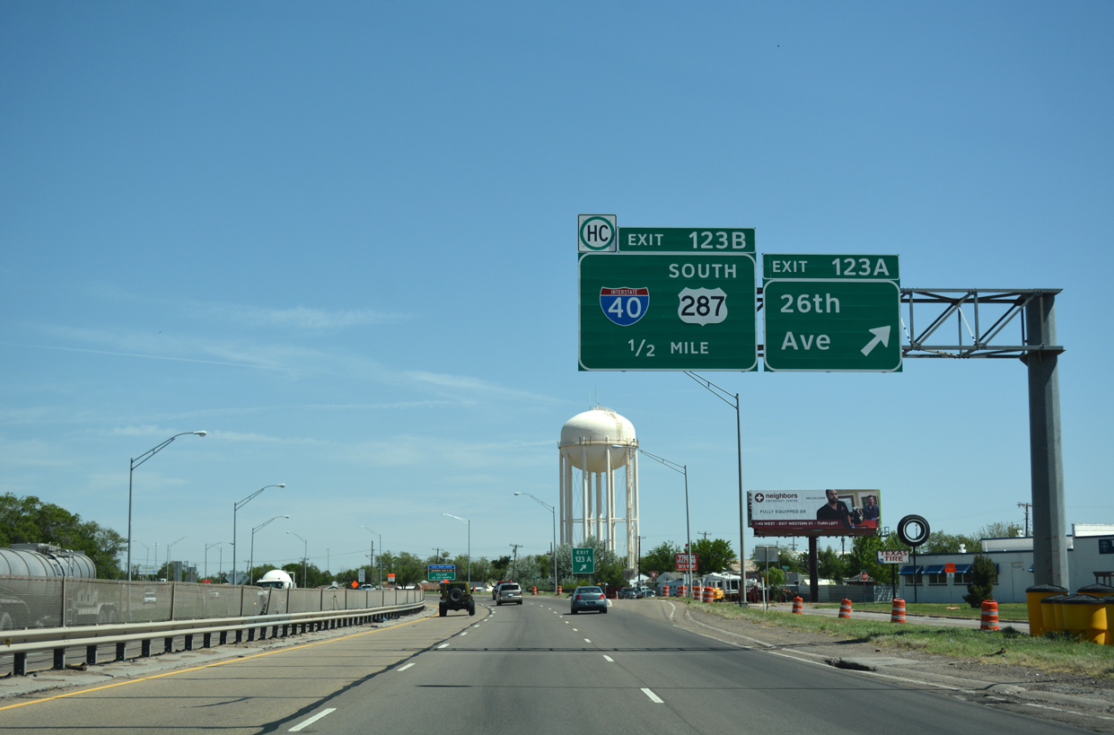
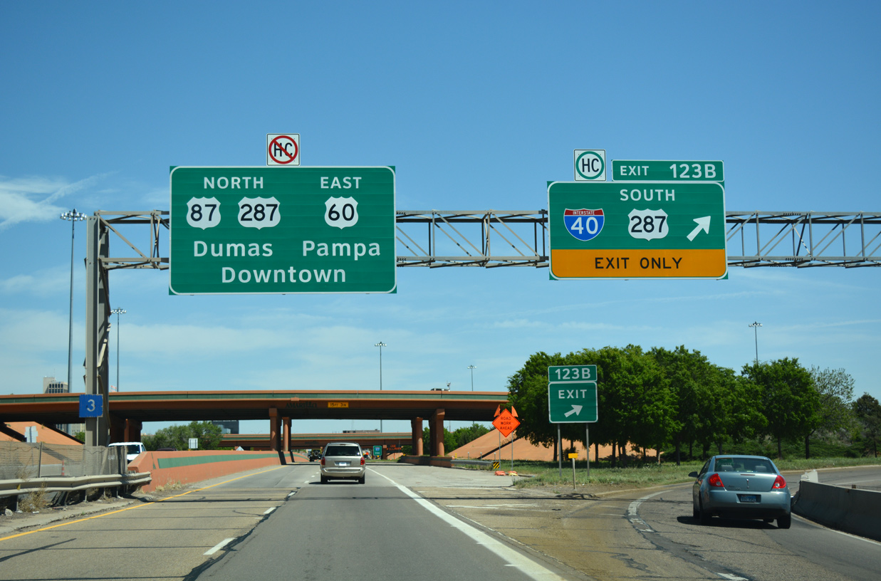
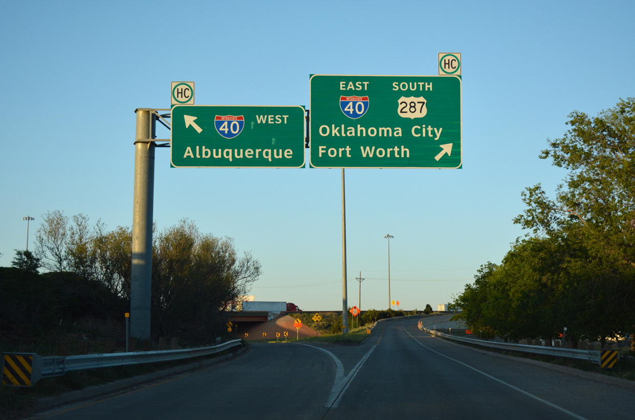
IH 27 directly replaced the alignments of U.S. 60/87 along Canyon Drive north and 36th Street east through south Amarillo. Turning toward IH 40, the freeway briefly shifts away from the historic U.S. highways (36th and Fillmore Streets) between Harrison Street and Exit 123A to 26th Avenue. 04/24/17
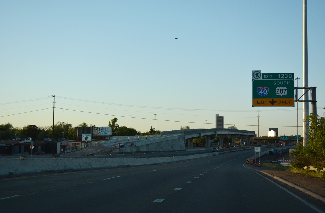
East South at
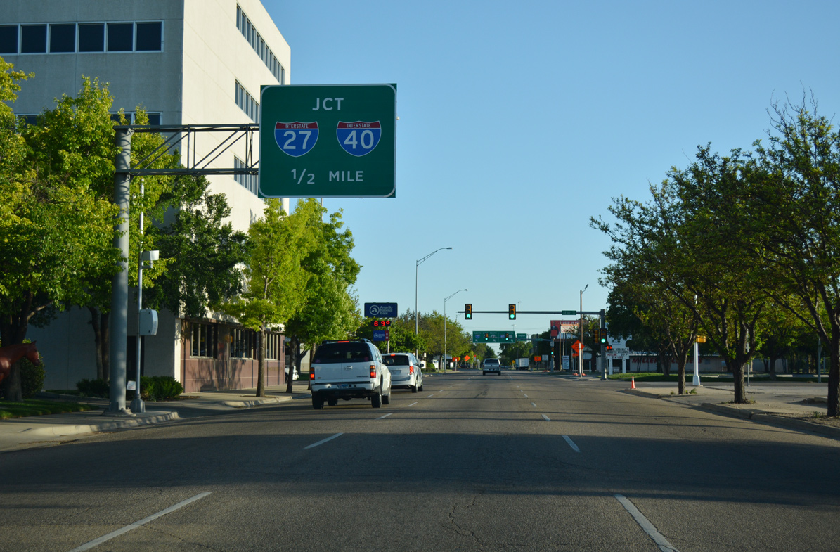
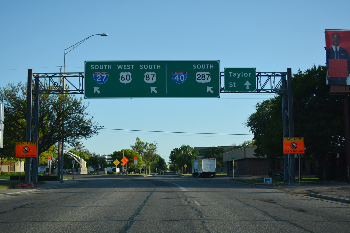
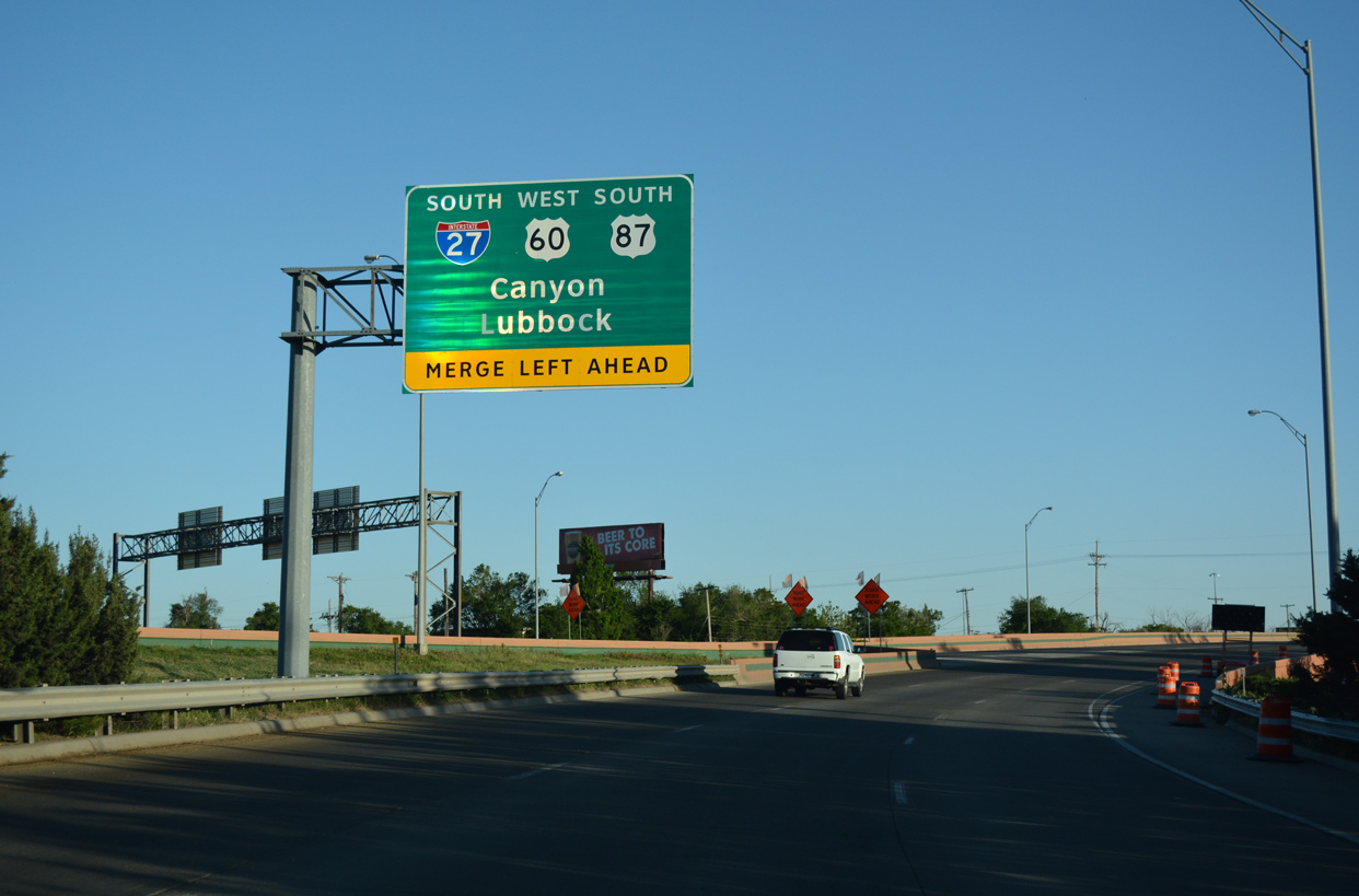
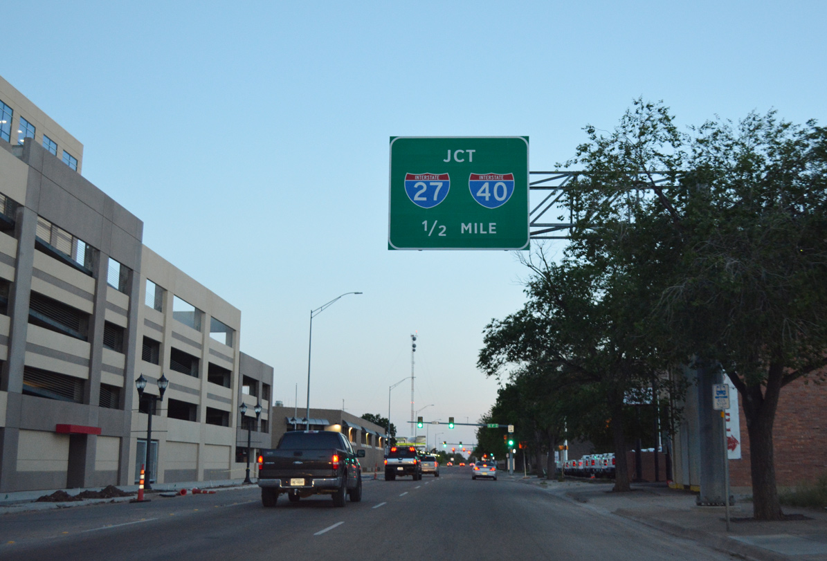
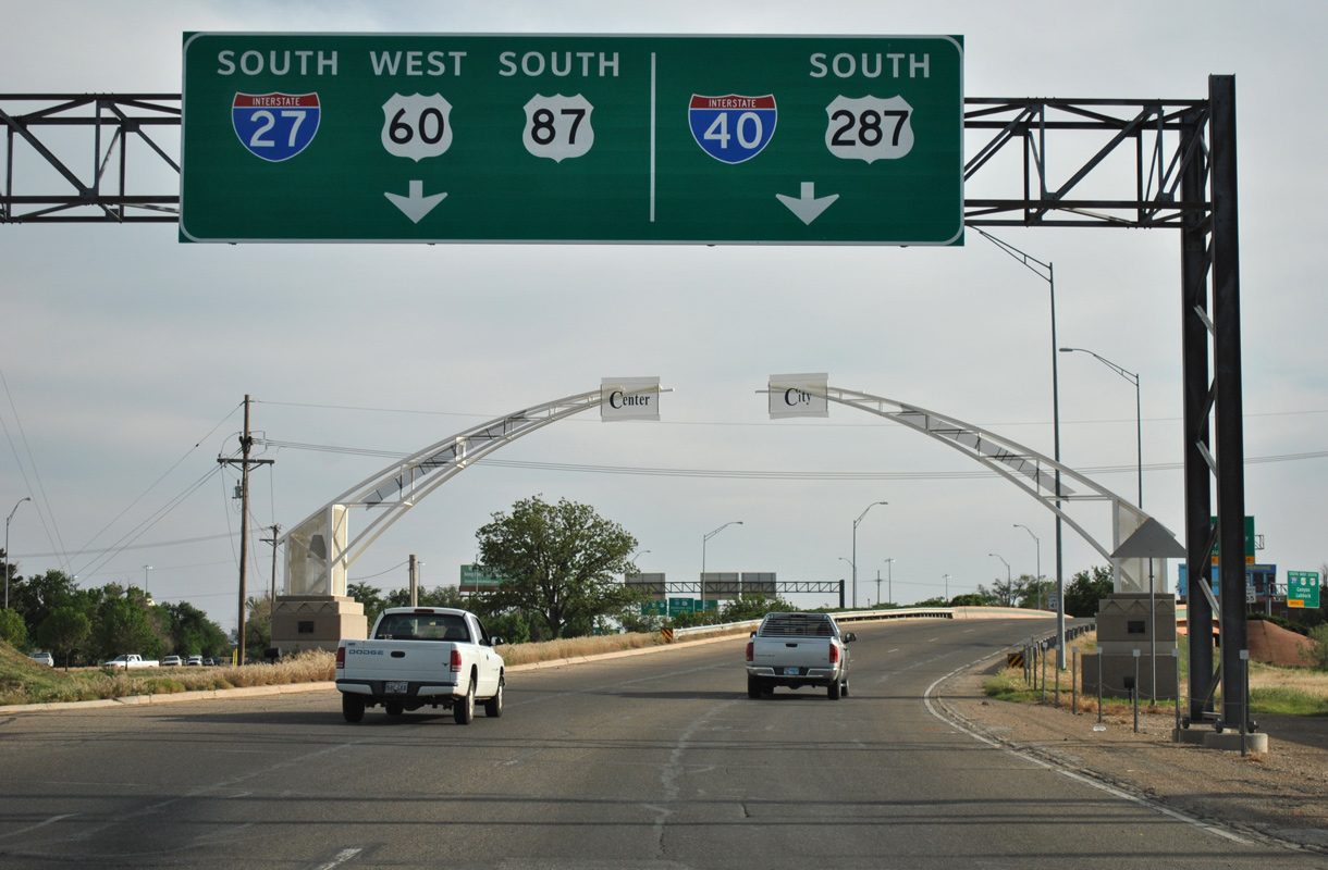
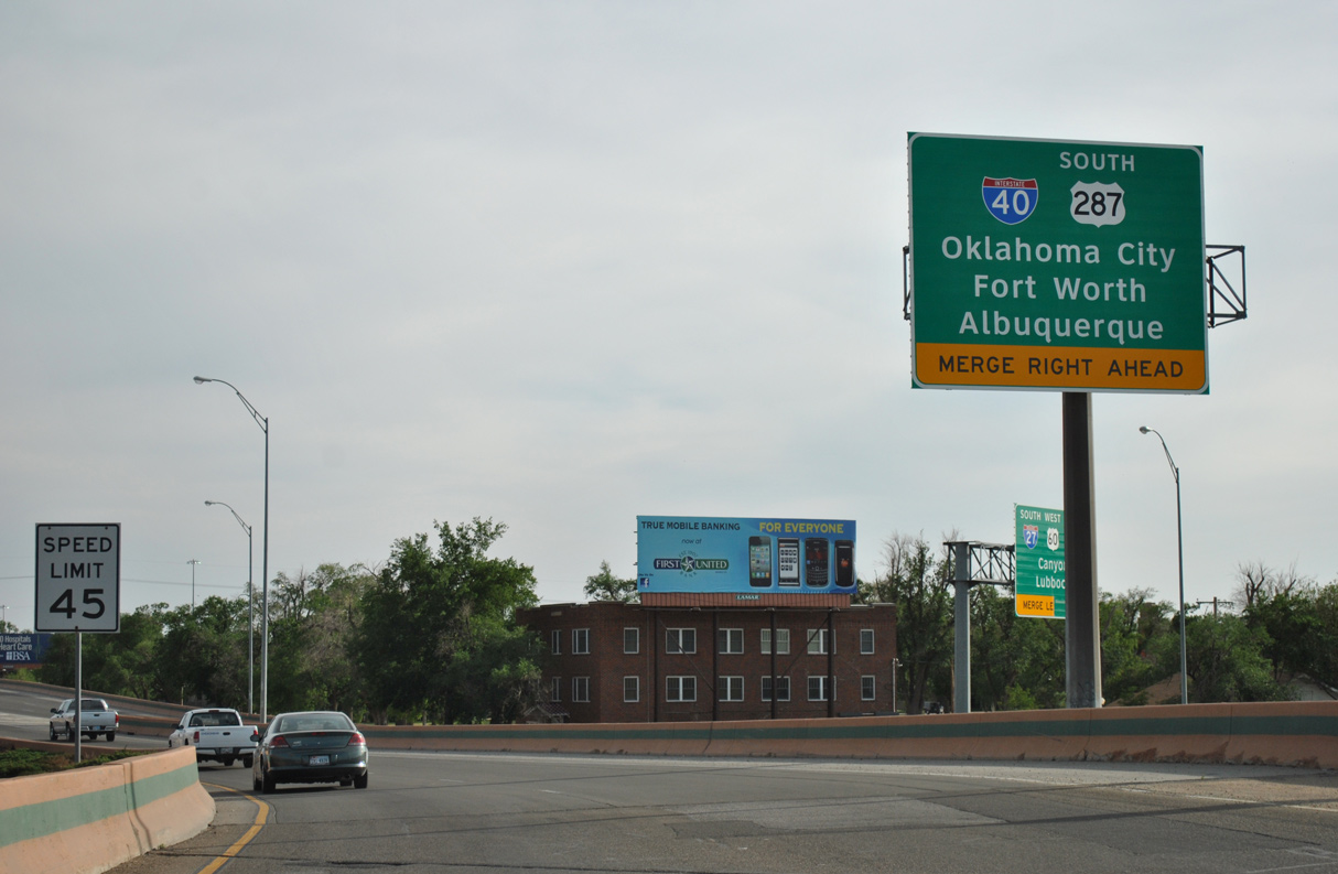
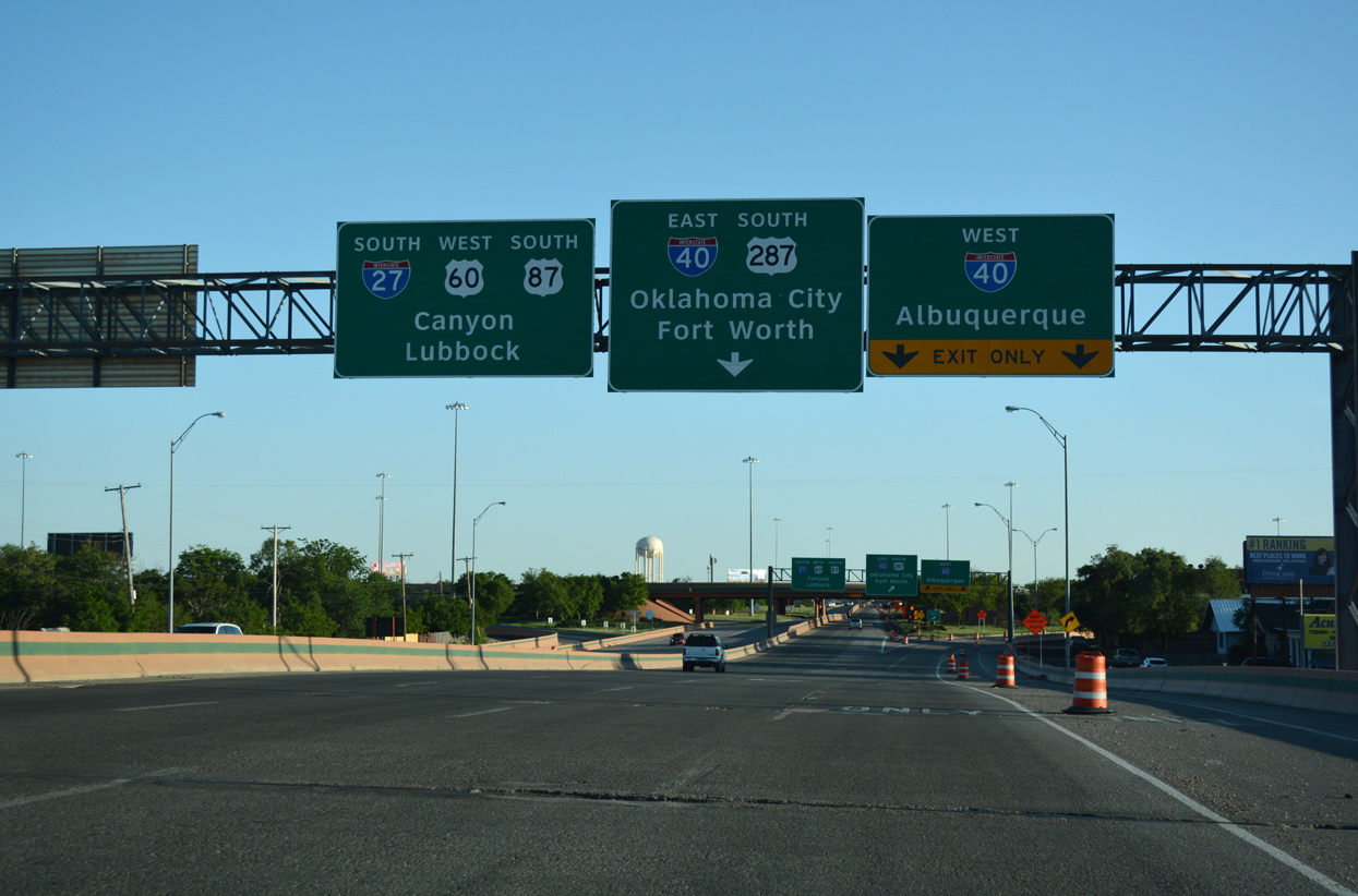
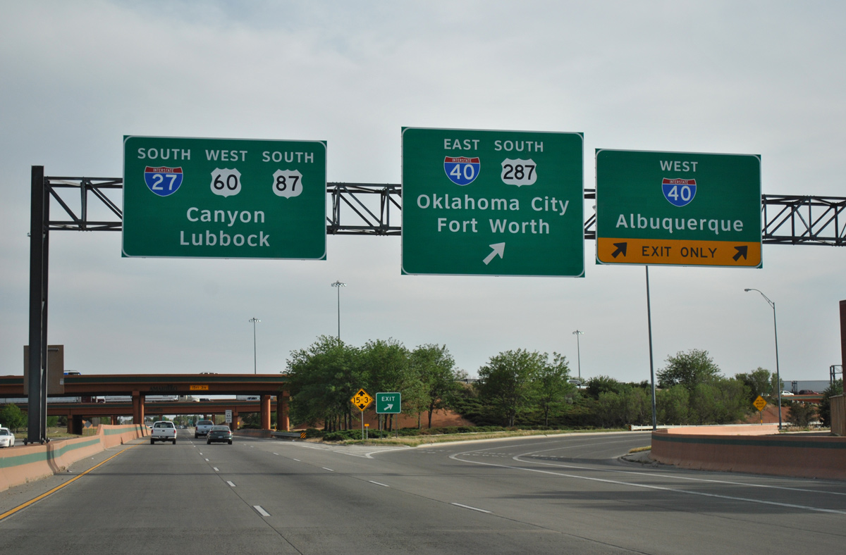
Taylor Street takes U.S. 287 southbound, one block to the west of northbound U.S. 87 (Fillmore Street), through Downtown Amarillo. The first guide sign for IH 27 and IH 40 appears south of SE 9th Street. 04/23/17
East at
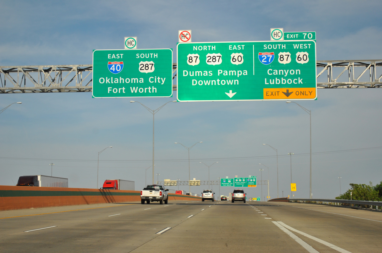
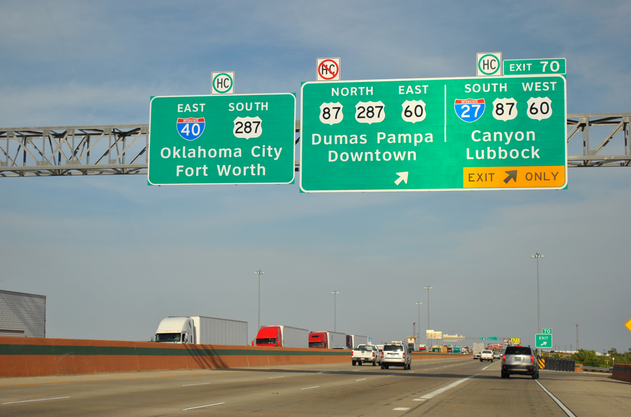
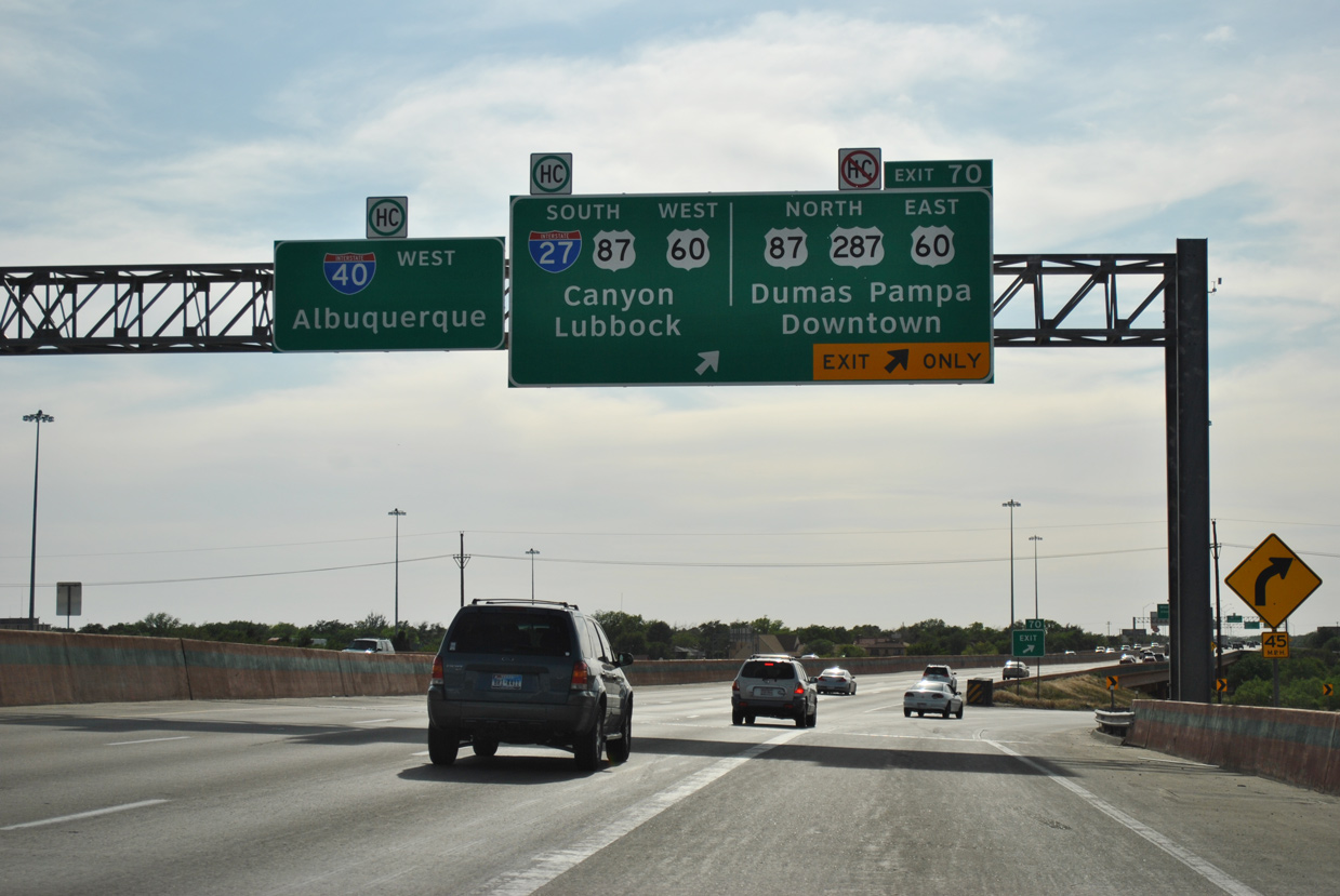
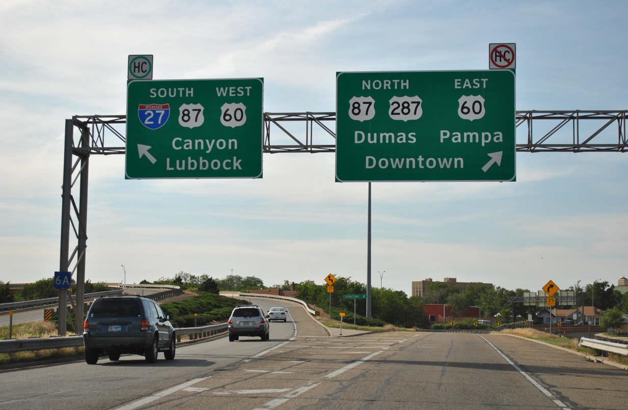
An auxiliary lane opens along IH 40 east from Washington Street to IH 27 and U.S. 60-87-287 at Exit 70. U.S. 60 angles northeast from Hereford to combine with U.S. 87 and IH 27 north from Canyon. Beyond the overlap with U.S. 87-287 through Downtown Amarillo, U.S. 60 travels northeast to Panhandle, Pampa and Canadian. 05/05/12
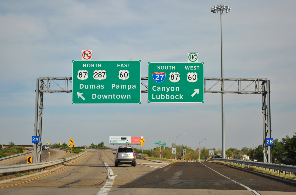
West North at
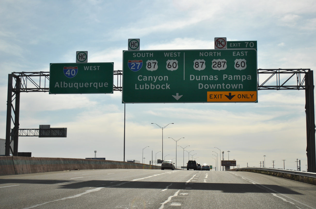
IH 40 west / U.S. 287 north span a BNSF Railroad yard ahead of their split at Exit 70 for IH 27/U.S. 60-87. 05/05/12
South East
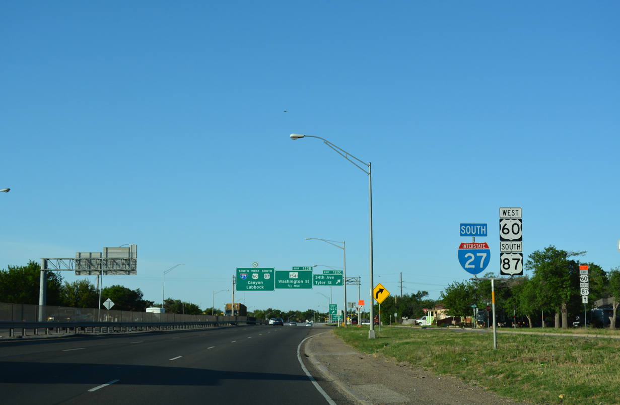
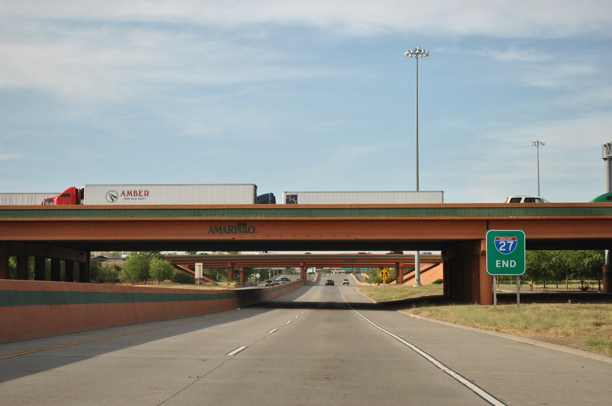
The first confirming marker for IH 27 appears just beyond the Randall County line, 0.75 miles south of IH 40. 04/24/17
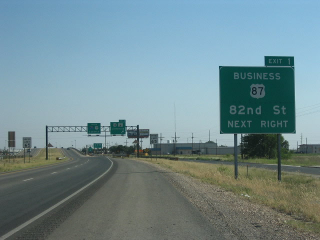
South End  / 82nd Street ‐ Lubbock, TX
South at
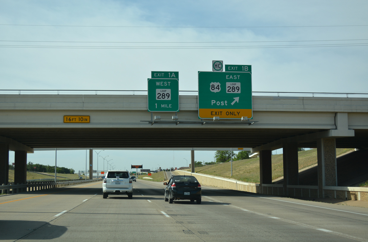
IH 27 and U.S. 87 follow a below grade, six lane freeway south of Downtown Lubbock. Exit 1B links with the west side frontage road leading south to the three level interchange with U.S. 84 (Avenue Q) and Avenue A (old U.S. 87 Business north). 04/24/17
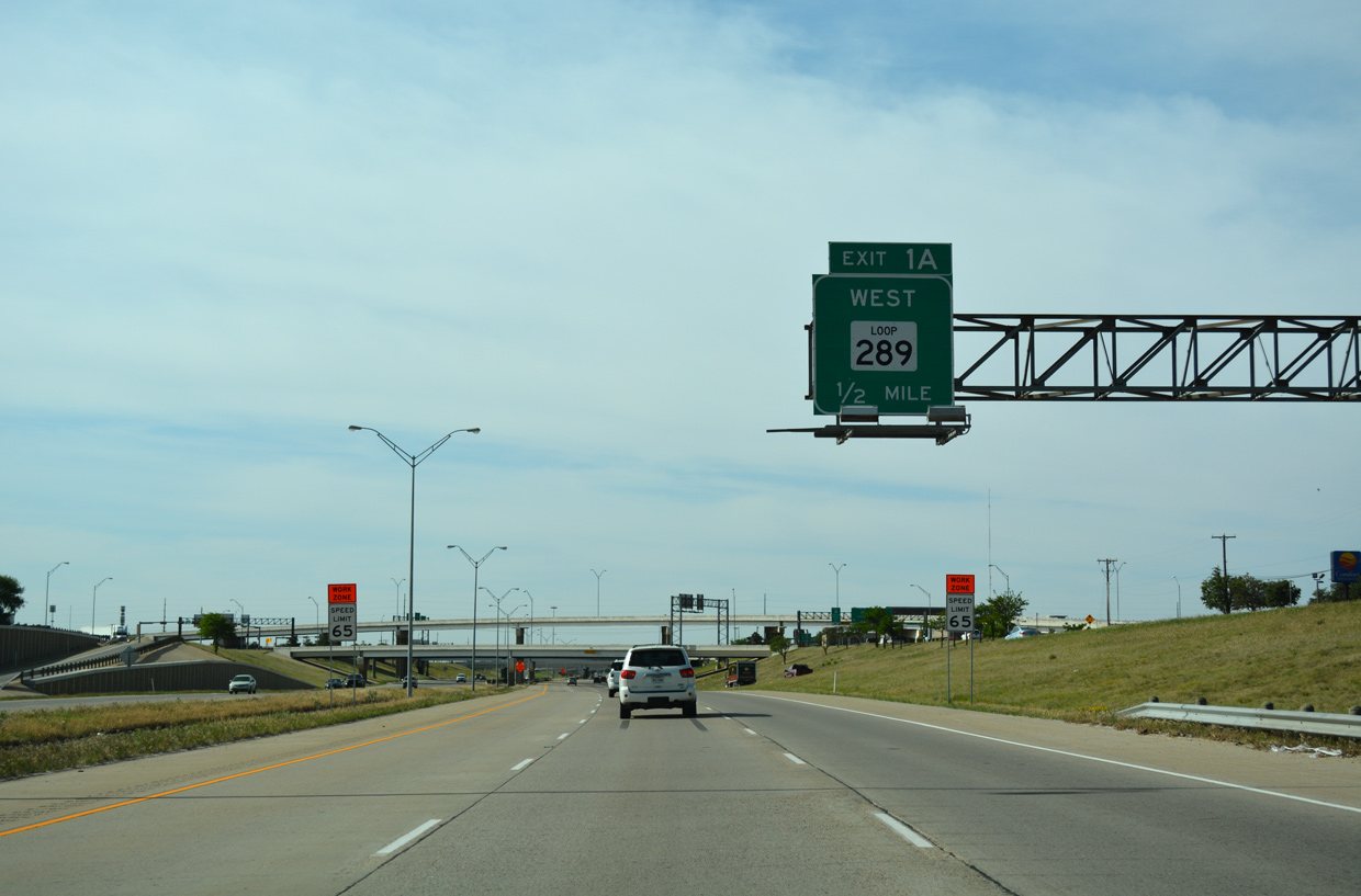
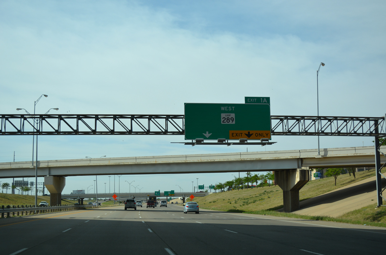
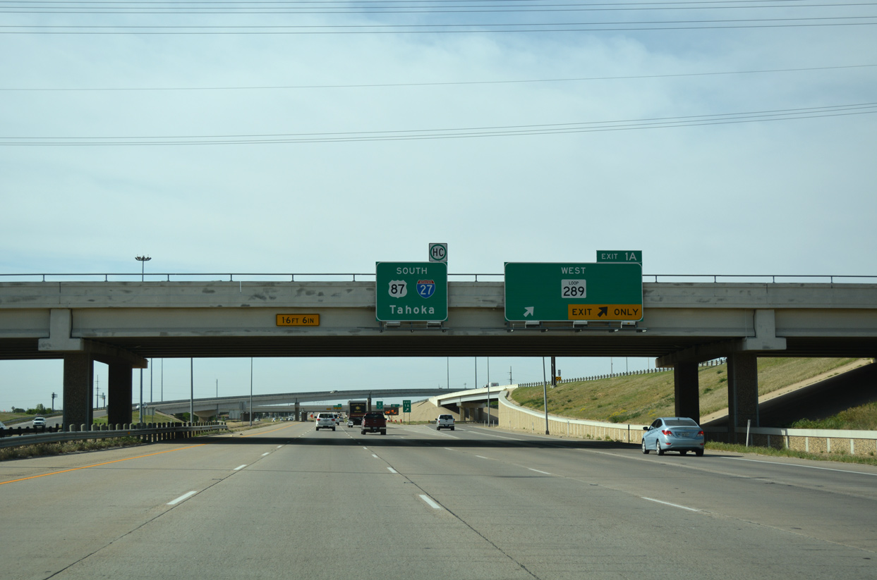
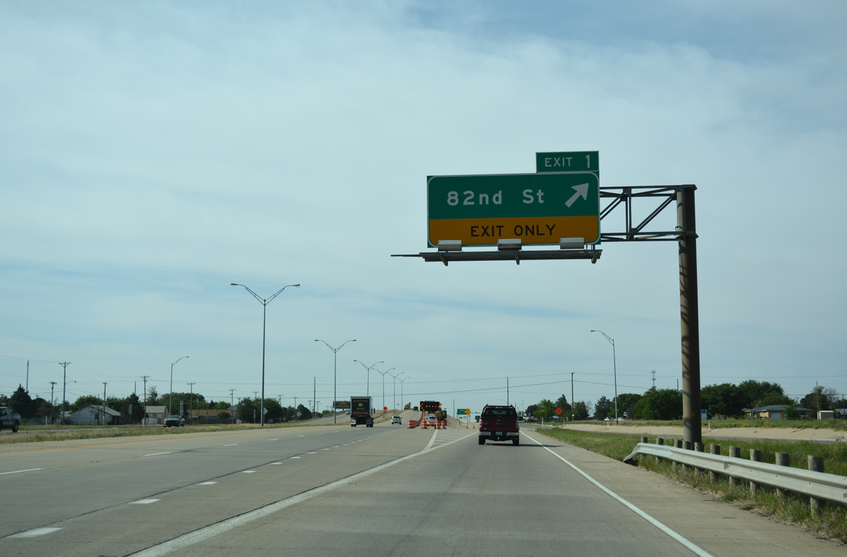
North at
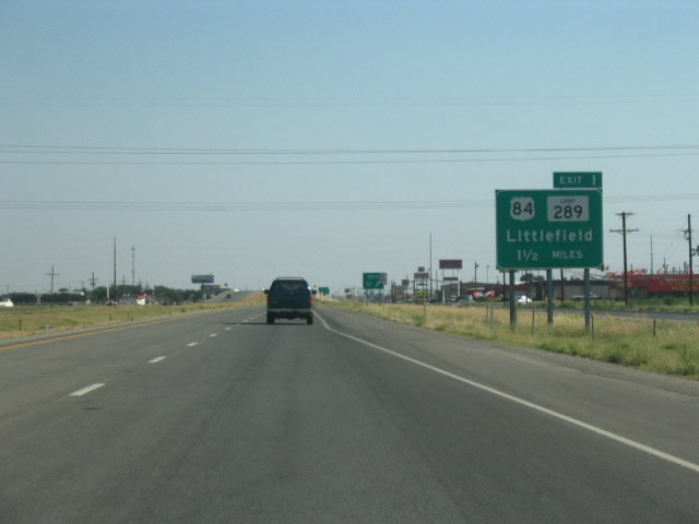
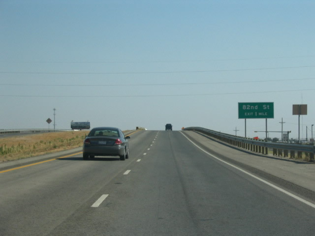
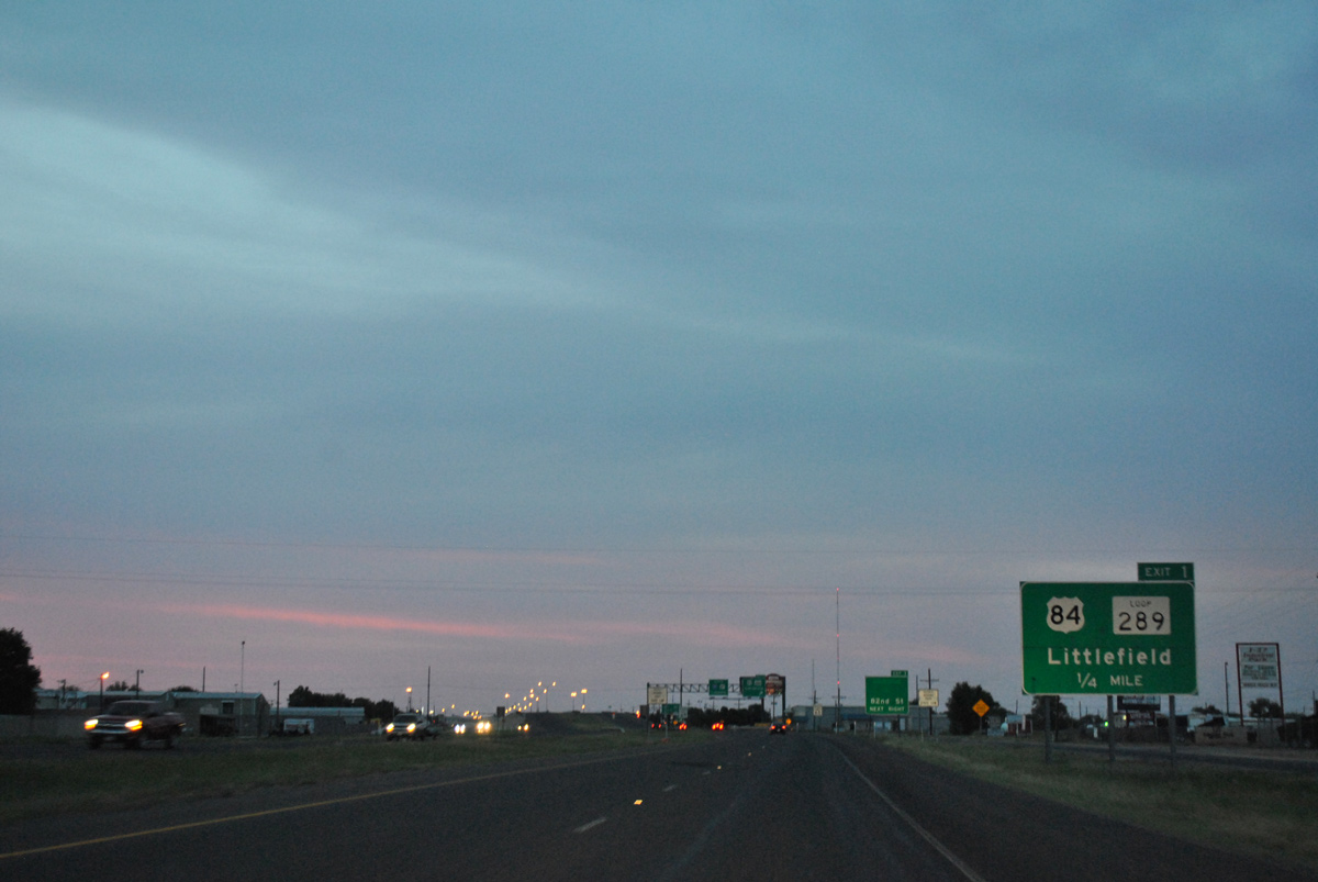
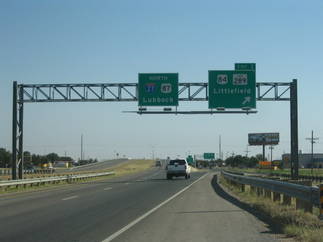
The first advance signage for Loop 289 precedes the unnumbered diamond interchange joining the freeway along U.S. 87 with 98th Street. Photo by Robert Lee (06/17/06).
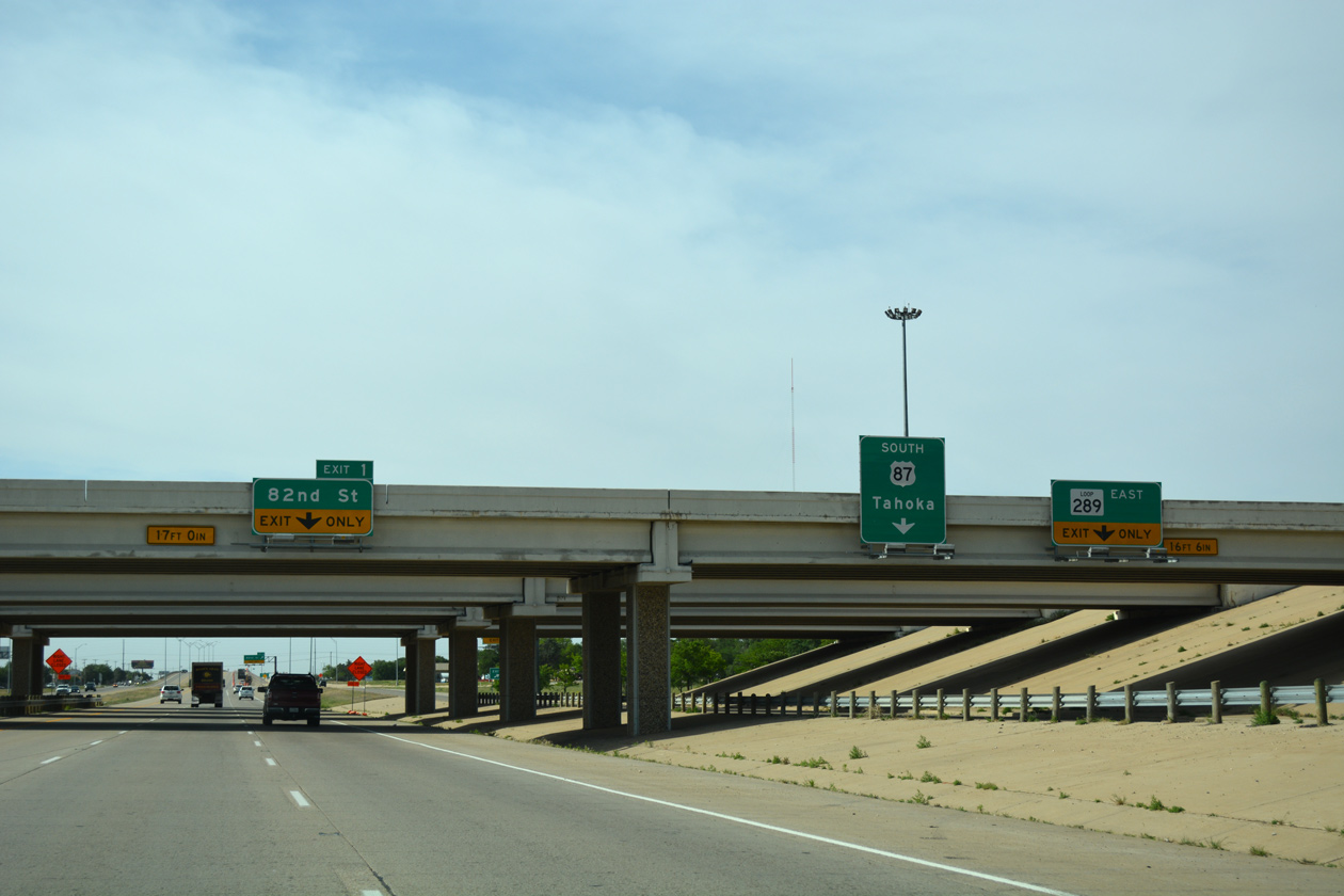
East at
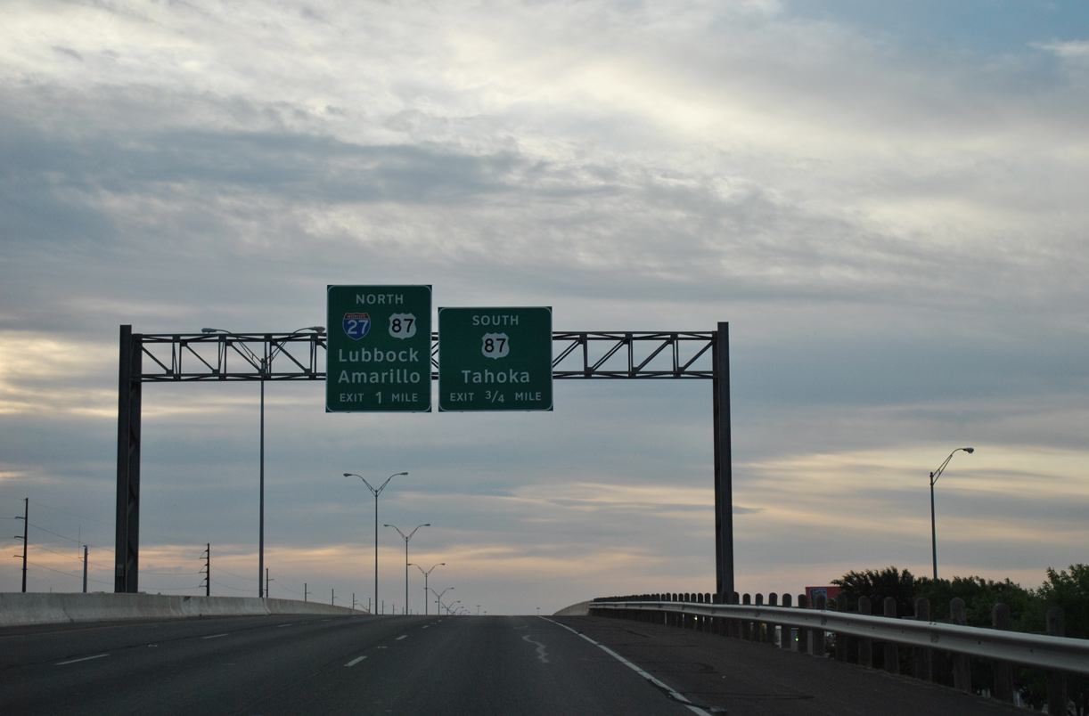
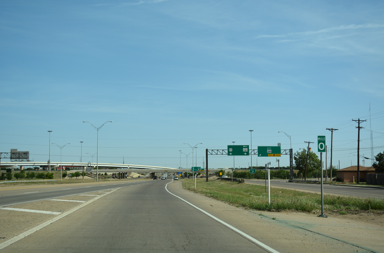
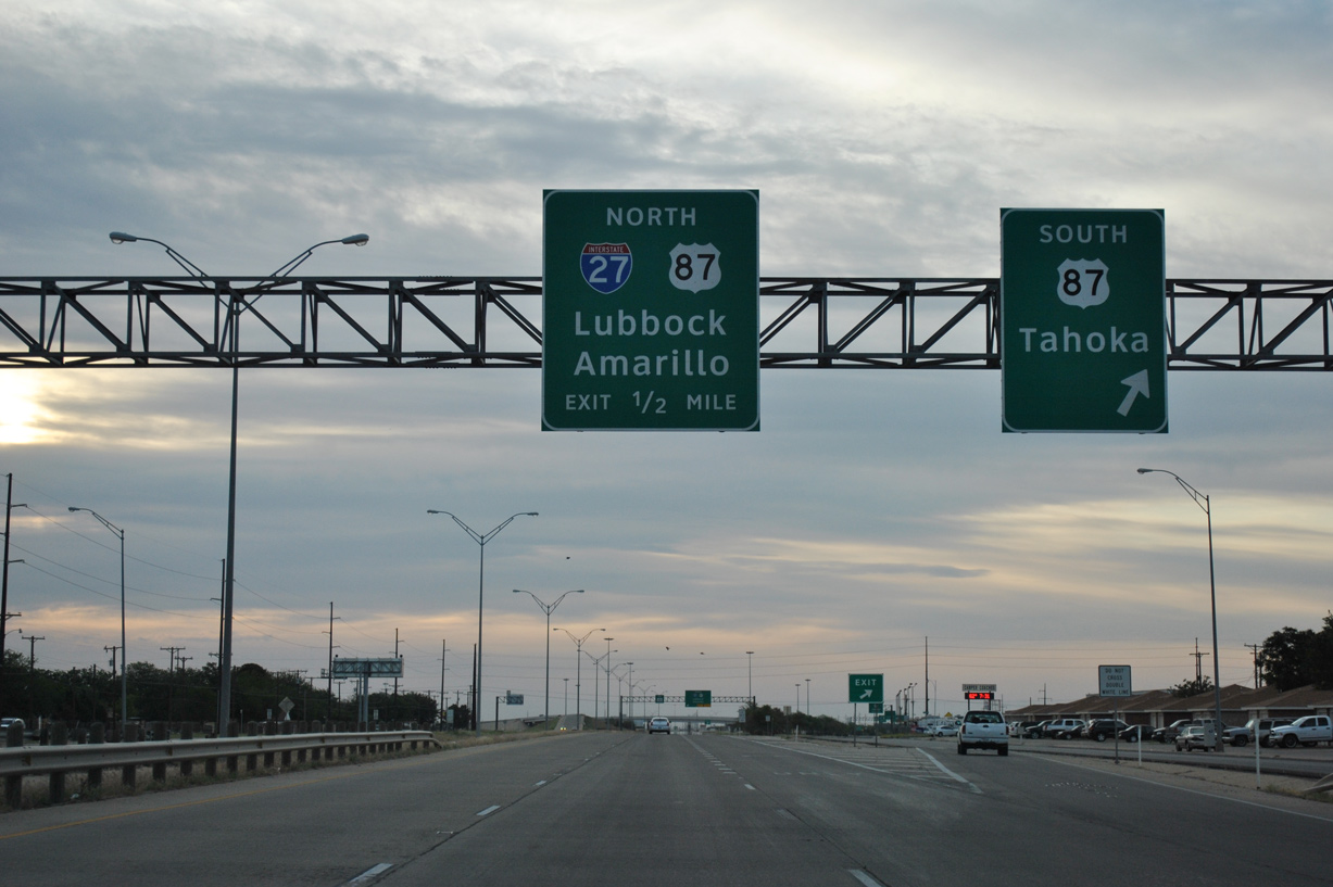
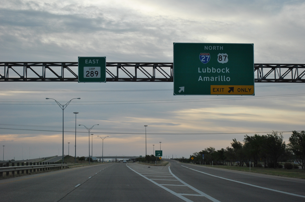
A Breezewood type connection requires motorists to travel by a number of businesses along the SL 289 frontage road to access U.S. 87 south from IH 27 to Tahoka. 05/06/12
West at
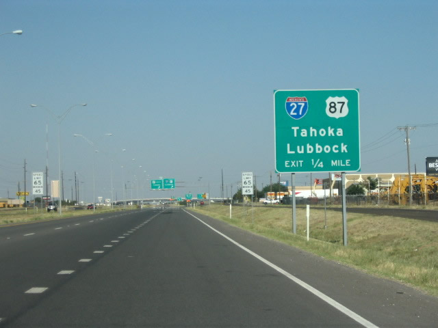
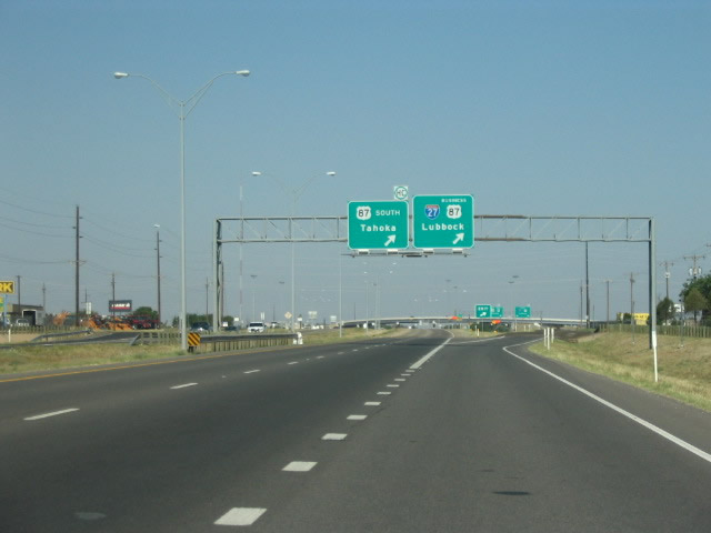
Loop 289 heads west from U.S. 84 (Slaton Highway) through an industrial area ahead of the frontage road ramp for IH 27 north and U.S. 87. Photo by Robert Lee (06/17/06).
References
- New law designates I-27 extension in Texas. (2022, March 23). Land Line. Retrieved from https://landline.media/new-law-designates-i-27-extension-in-texas/
- San Angelo Leaders Approve TxDOT I-27 Interstate Feasibility Study. (2015, July 31). SanAngeloLive.com. Retrieved from https://sanangelolive.com/news/san-angelo/2015-07-31/san-angelo-leaders-approve-txdot-i-27-interstate-feasibility-study
- "City council endorses interstate extension through San Angelo." San Angelo Standard-Times (TX), March 21, 2019.
- Texas Department of Transportation (TxDOT). Interstate Highway No. 27. Highway Designation File. Retrieved from http://www.dot.state.tx.us/tpp/hwy/ih/ih0027.htm
- "From Anywhere to Everywhere: The Development of the Interstate Highway System in Texas." by Penny Beaumont, Rhonda Brinkmann, David Ellis, Chris Pourteau, and Brandon V. Webb, Texas Transportation Institute, page 29. Retrieved from http://tti.tamu.edu/interstate_anniversary/white_paper/
- Federal Highway Administration (FHWA). Celebrating the 50th Anniversary of the Eisenhower Interstate Highway System: Previous Interstate Facts of the Day. Retrieved from https://www.fhwa.dot.gov/interstate/previousfacts.cfm
- "Direct connector between I-27 south and I-40 east permanently opens." KVII-TV7 (Amarillo, TX), November 16, 2018.