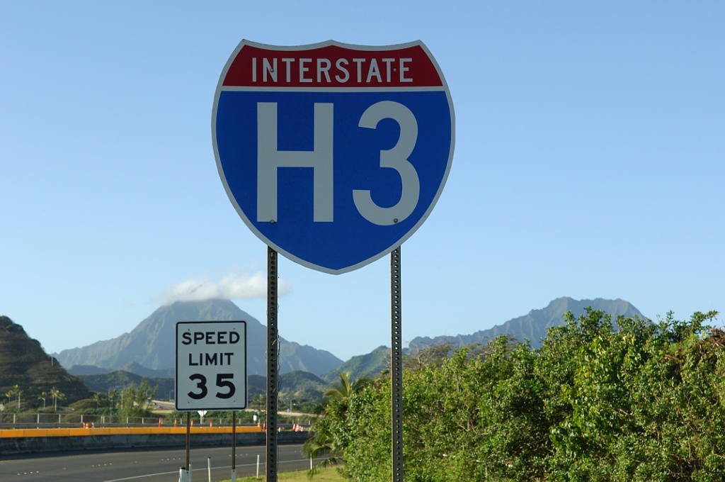
Interstate H3
Interstate H-3 (John A. Burns Freeway) climbs east from Pearl Harbor toward the Mokapu Peninsula. Photo by Jeff Royston (01/30/06).
Overview
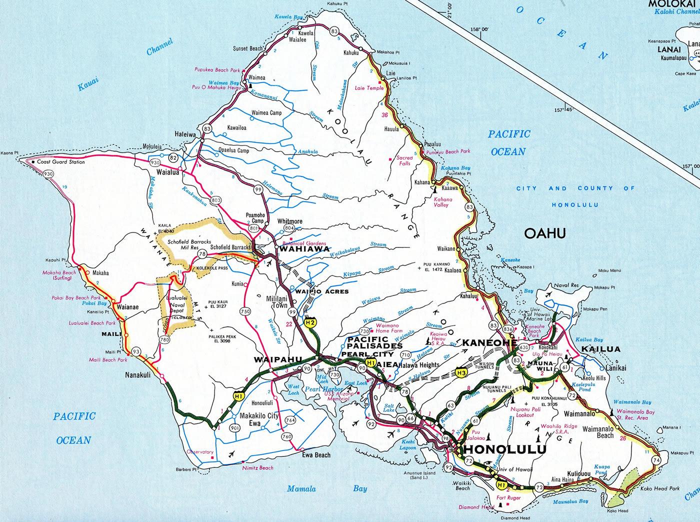
Interstate H3 travels eastward from Aiea to the Marine Corps Base Hawaii (MCBH) on the Mokapu Peninsula. Constituting one of the most scenic routes along the Interstate system, the freeway provides a high speed route across the Koolau Range between the leeward and windward sides of Oahu.
I-H3 originates at the Halawa Interchange, where I-H1 and I-H201 come together near Aloha Stadium and Halawa Heights. The freeway runs eastward from there through a valley fed by North Halawa Stream to the Koolau Range. Six miles east of H1, Interstate H-3 reaches the Tetsuo Harano (Trans-Koolau) Tunnels (Halawa portal) at an elevation of 840 feet above sea level (the Halawa portal is 1,305 feet above sea level).2
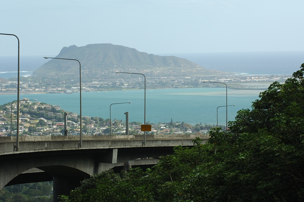
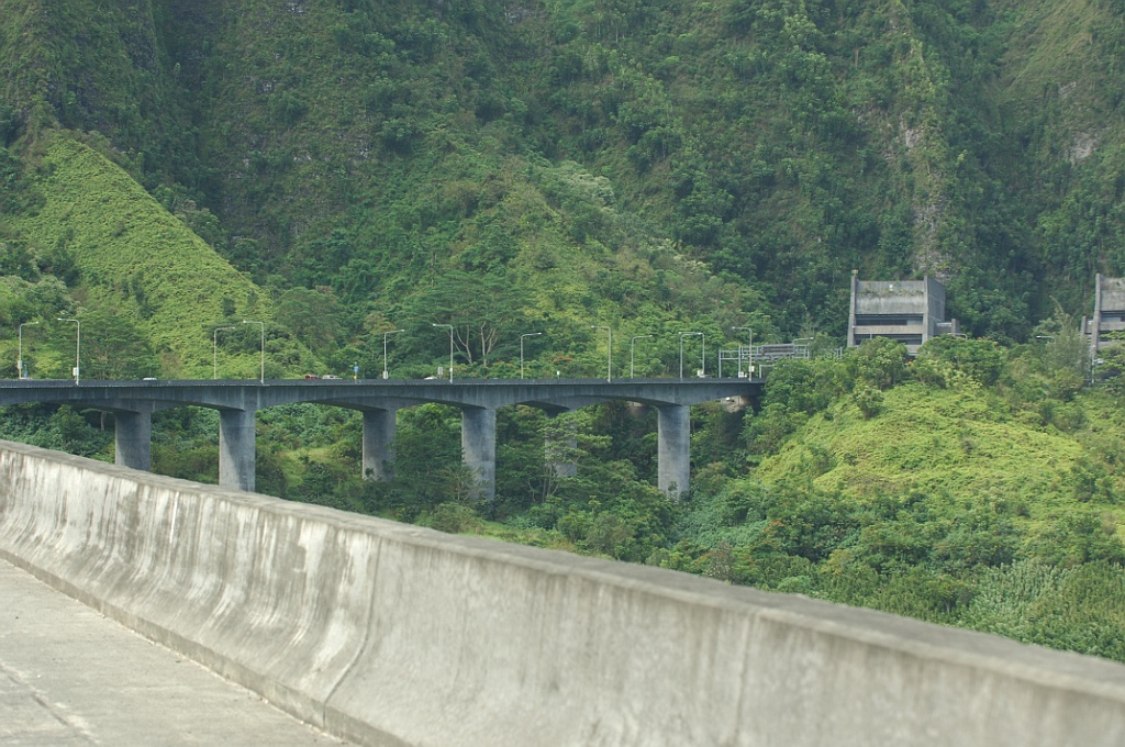
Emerging from the tunnels, Interstate H-3 arcs southward along the windward side of the Koolau Range. The freeway utilizes a high viaduct above Haiku Valley to the 690 foot long Hospital Rock Tunnel2 across the north slope of Pu’u Keahi a Kahoe Mountain. The first exit along eastbound follows, connecting H3 with LikeLike Highway (Route 63) north to Puohala Village.
The remainder of H3 arcs east and north by Hoomaluhia Botanical Garden, a parclo interchange with Kamehameha Highway (Route 83) and the Oneawa Hills at Mahinui. H3 concludes at the main gate to Kaneohe MCAS beyond a causeway between Nuupia Pond and Kaneohe Bay.
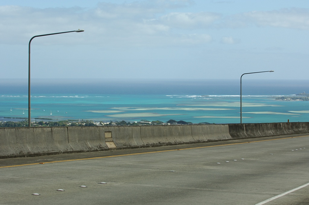
Views of Kaneohe Bay along eastbound Interstate H-3. Photos by Jeff Royston (02/05/06).
Route Information
West End – Kanoehe Marine Corps Base, HI
East End – Halawa Heights, HI
Mileage – 15.32
Cities – Honolulu
- Junctions –


Source: December 31, 2021 Interstate Route Log and Finders List
The 1983 Rand McNally atlas showed I-H3 extended southward to Kamehameha Highway (Route 83) at Exit 11, while the 1982 Gousha atlas showed it already open.
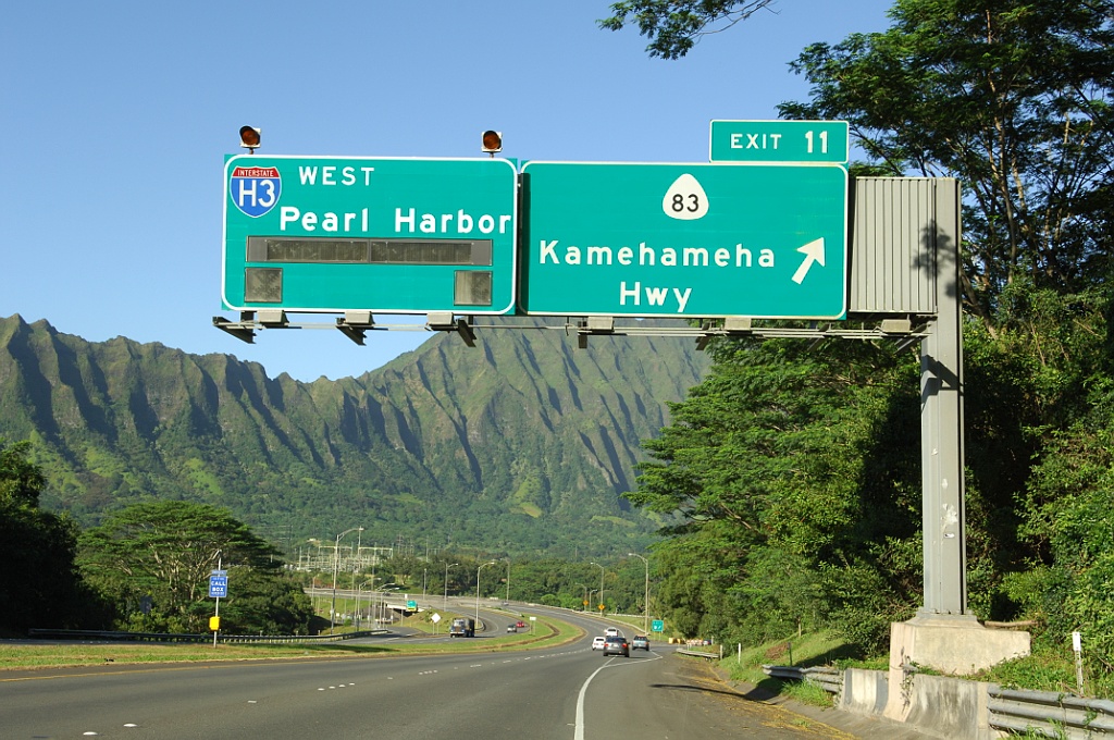
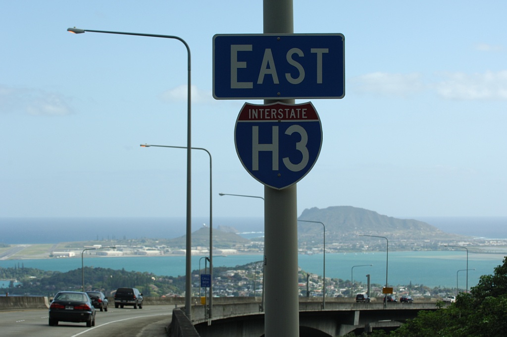
The third exit along westbound Interstate H-3 is for Route 83. Route 83 leads north to Kaneohe, Kahaluu, Hauula and Laie. There are two alternate routes to I-H3 through the Koolau Range: Route 63 (Like Like Highway) and Route 61 (Pali Highway). I-H3 meets Like Like Highway directly at the succeeding interchange while Route 83 connects with Pali Highway west nearby. Photo by Jeff Royston (01/30/06).
 History
The route of Interstate H-3 was incorporated in the 51.2 mile addition to the Eisenhower Interstate and Defense Highway System for Hawaii as part of the Statehood Act of 1960.1 Planning for Interstate H-3 continued through the 1960s, and it underwent an environmental study during the 1970s in accordance with National Environmental Policy Act of 1970. Construction began but was stalled in the mid 1980s after a series of legal challenges and court hearings. In August 1984, the 9th Circuit Court of Appeals determined that Interstate H-3 would negatively impact adjacent Hoomaluhia Park, which was created in conjunction with the new freeway. For the ensuing two years the completion of this highway was uncertain. However, in October 1986, President Reagan signed into a law a Congressional bill authorizing an exemption for Interstate H-3, thus allowing the freeway construction to resume.2
Looking west, Interstate H-3 ascends toward the Trans-Koolau Tunnels. Photo by Jeff Royston (02/05/06).
After the legal challenges ended, the technical challenges continued. The next structure built along Interstate H-3 was the North Halawa Valley access road between 1986 and 1989. Hospital Rock Tunnel, a cut and cover tunnel, was constructed in the late 1980s. Construction of the North Halawa Viaduct and Windward Viaduct followed in the early 1990s, as did construction of the one mile long Trans-Koolau Tunnels, which lead the freeway under the Koolau Range. Interstate H-3 fully opened on December 12, 1997.3
West End 
 – Halawa Heights, Hawaii
![]() West at
West at ![]()

Westbound I-H3 ends at the Halawa Interchange with I-H1 and I-H201 (former Route 78) in Honolulu. Photo by Oscar Voss (11/01).
![]() West at
West at ![]()
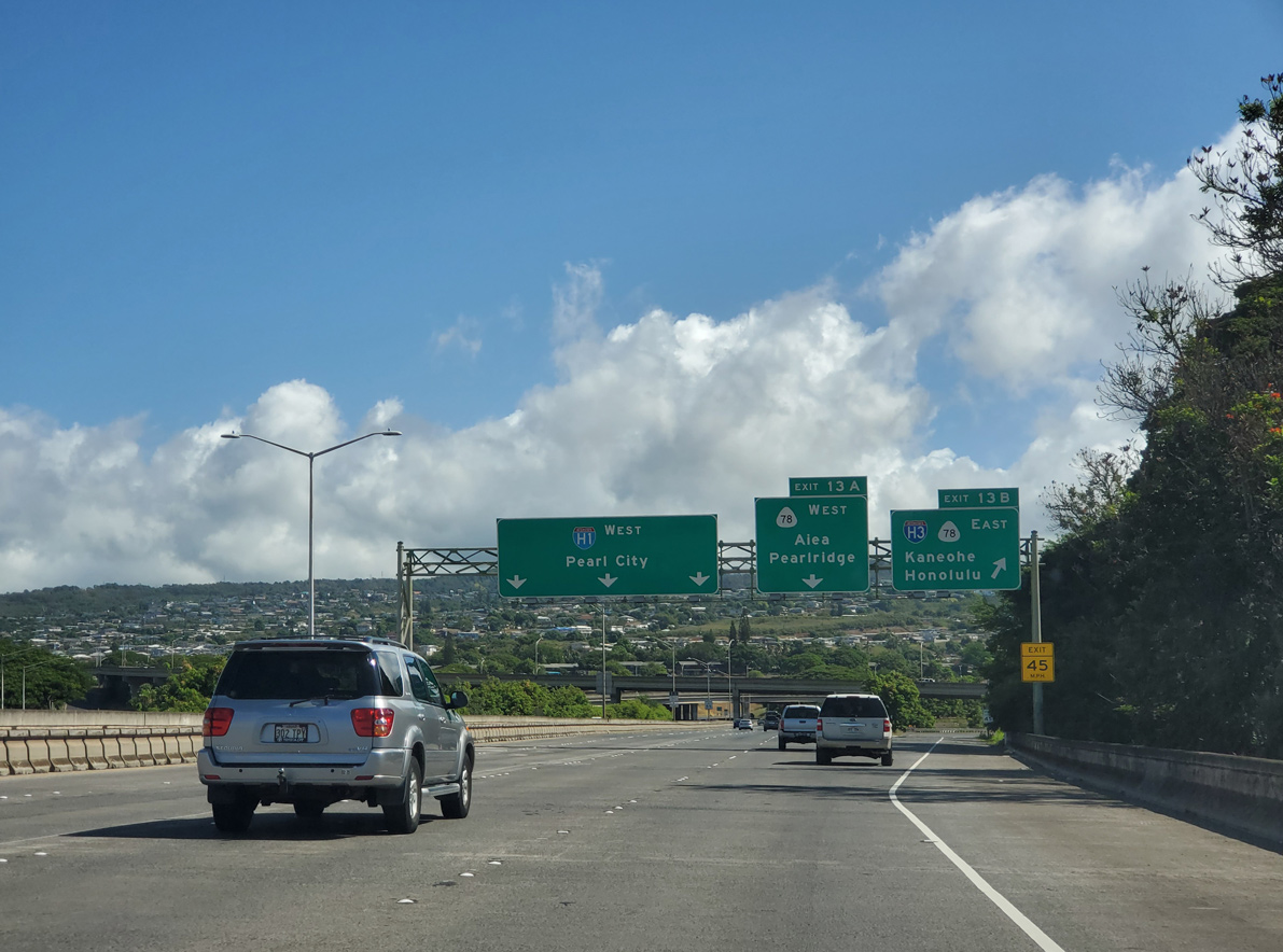
Interstate H1 west at the Halawa Interchange with I-H3 (John A. Burns Freeway) east. I-H3 east also links I-H1 with I-H201 (Moanalua Freeway) east to Fort Shafter. 08/18/19
![]() East at
East at ![]()
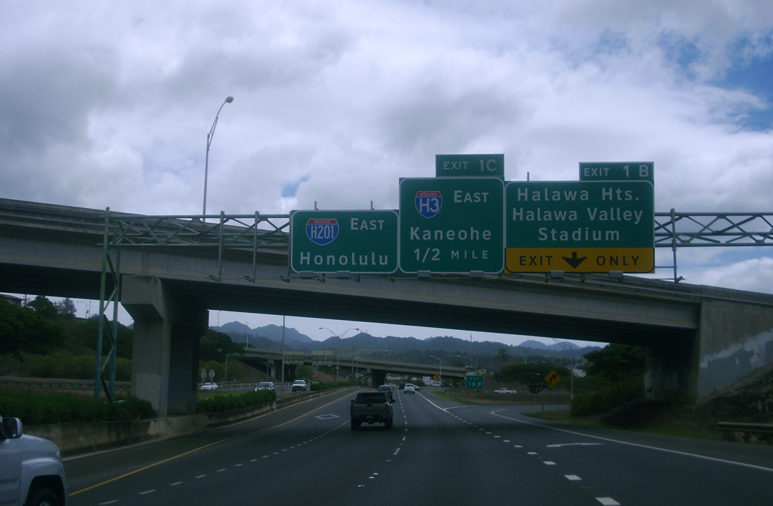
Exit 1 B departs from I-H201 (Moanalua Freeway) for Kahuapaani Street at Halawa one half mile ahead of Interstate H3. Photo by Larry Epstein (06/09/10).
The entrance ramp from Kahuapaani Street north and I-H3 west forms an auxiliary lane to the loop ramp (Exit 1 C) for Interstate H3 east to Kanehoe. Photo by Larry Epstein (06/09/10).
I-H201 east spans Hālawa Stream and I-H3 at Exit 1 C. Kaneohe lies ten miles to the east. Photo by Larry Epstein (06/09/10).
![]() West at
West at ![]()
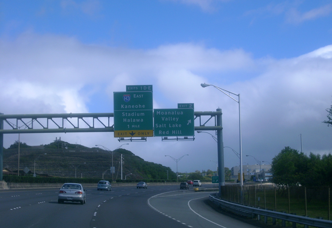
A split diamond interchange joins I-H201 with Ala Napunani Street and Ala Kapuna Street by Salt Lake and Moanalua Golf Club, one mile from Exit 1 D to Interstate H3 east. Photo by Larry Epstein (06/08/10).

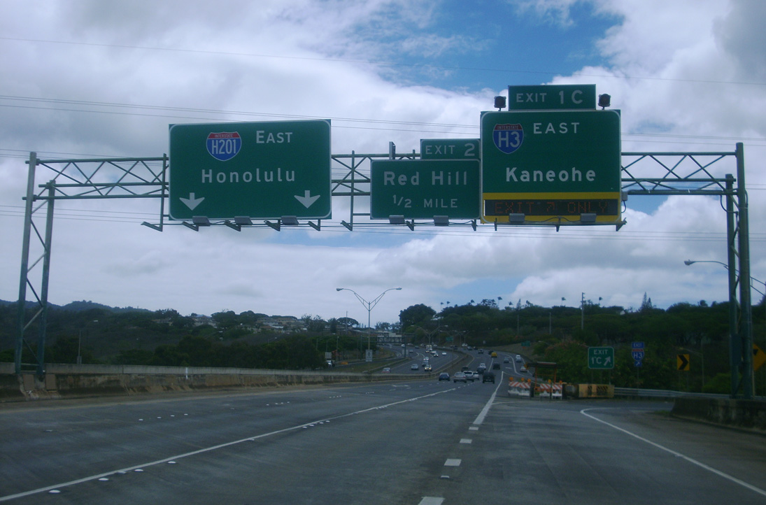
I-H201 drops below grade at Ala Kapuna Street preceding an S-curve taking the Moanalua Freeway west to the parclo interchange (Exit 1 D) with Interstate H3. Photo by Larry Epstein (06/08/10).
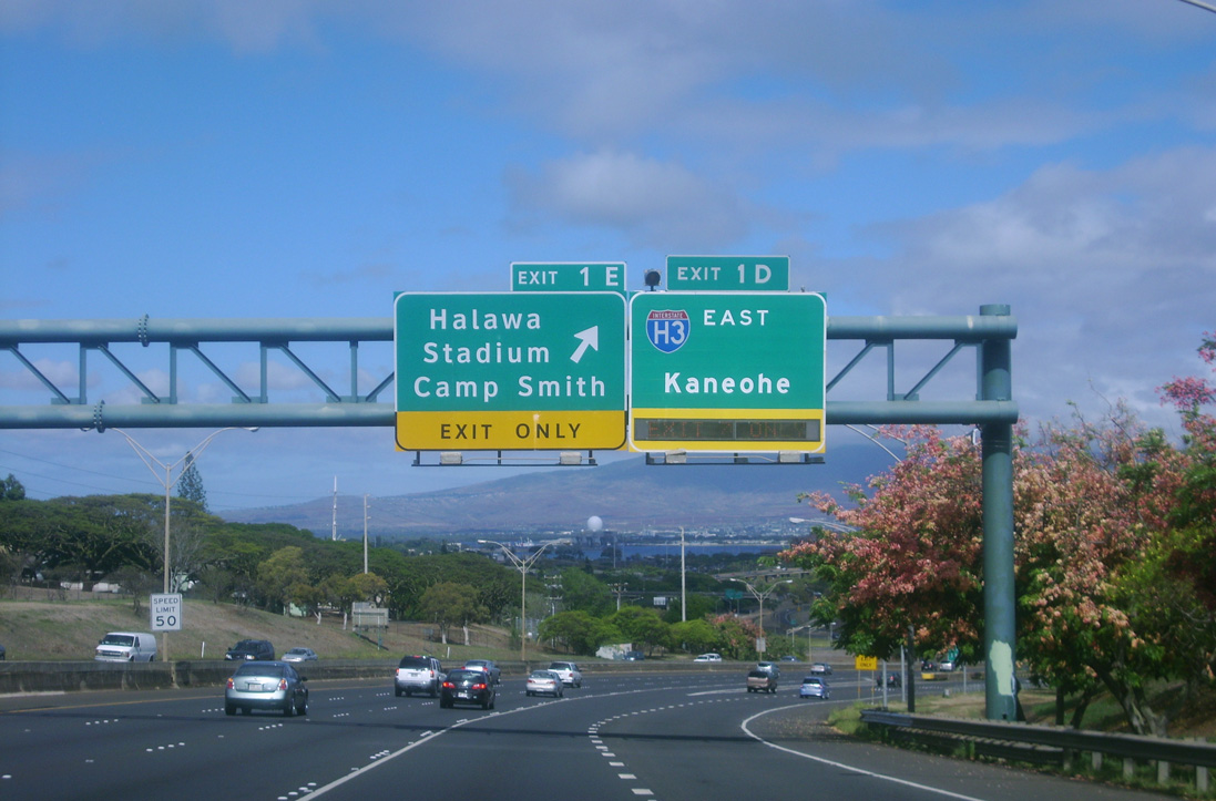
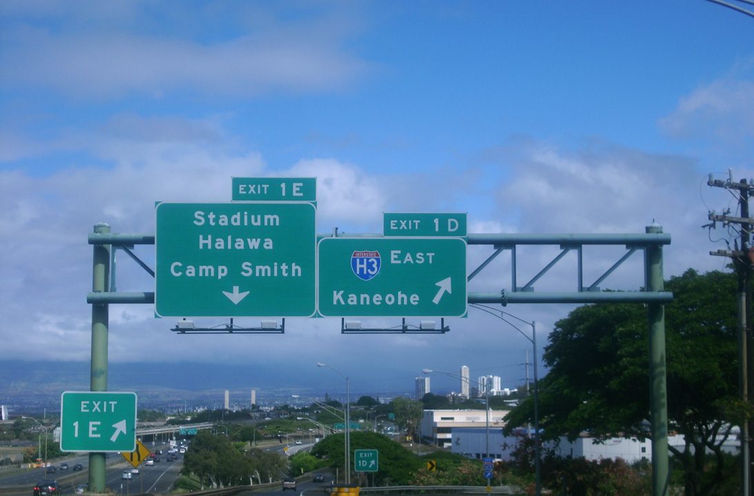
Exit 1 D leaves I-H201 west for I-H3 east beyond Red Hill. Photo by Larry Epstein (06/08/10).
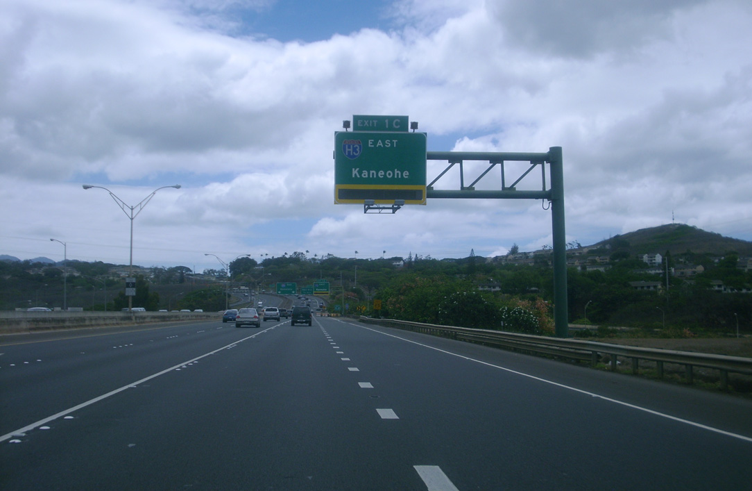
Interstate H3 traverses the Koolau Range east from I-H201 along an eight mile long exit less stretch to SR 63 (Likelike Highway) at Kaneohe. Photo by Larry Epstein (06/08/10).
![]() East
East
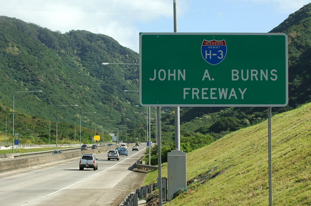
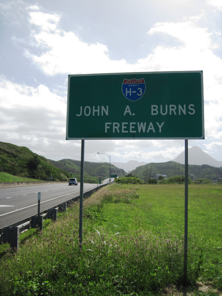
Posted after the Halawa Interchange, this sign designates Interstate H-3 as the John A. Burns Freeway. The freeway proceeds east toward the Trans-Koolau Tunnels. Photo by Jeff Royston (02/05/06).
East End – Kanoehe Marine Corps Base Hawaii
![]() East
East
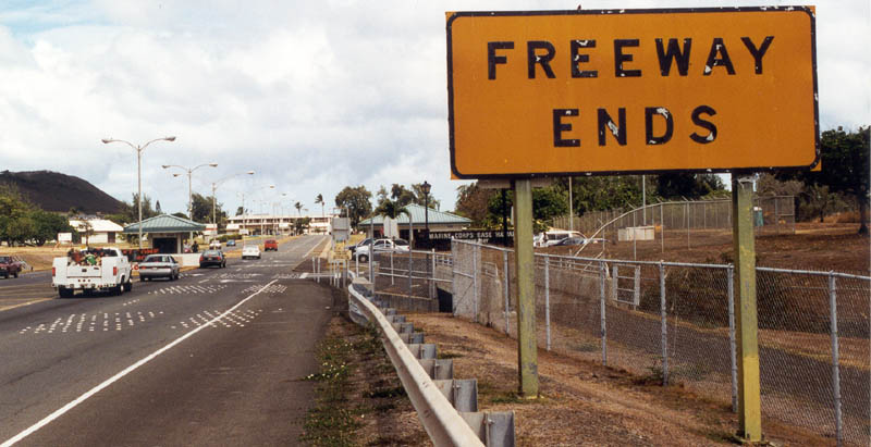
Eastbound Interstate H-3 ends at entrance to the Kanoehe Marine Corps Base Hawaii. A turnaround precedes the gate. Photo by Oscar Voss (09/99).
![]() West
West
Leaving the Kaneohe Marine Corps Base Hawaii, Interstate H3 begins along a causeway with a 35 mile per hour speed limit. Exit 15 departs ahead for Kaneohe Bay Drive. Photo by Jeff Royston (01/30/06).
Sources:
- History of Interstate H-3 by the Hawaii Department of Transportation
- Sanders, C. (1993, Summer) H3: The Island Interstate. Public Roads, Retrieved from http://www.fhwa.dot.gov/publications/publicroads/93summer/p93su16.cfm
- Hawaii Department of Transportation: Interstate H-3
http://www.hawaii.gov/dot/publicaffairs/h-3/.
Page updated January 25, 2024.