Interstate 840 Tennessee
Overview
Originally envisioned as a 187 mile long beltway encircling the Nashville metropolitan area, Interstate 840 connects I-40 near Dickson with I-40 near Lebanon. The beltway was proposed as a solution for regional traffic needs so that the existing Nashville freeways could better support local traffic. Similar to the outer beltway (Grand Parkway / SH 99) around Houston, I-840 forms a complete bypass of the metropolitan area, providing a through route for the movement of goods and services. Critics of the beltway contended that the new road would open up land for unchecked commercial and residential development.
Interstate designation for SR 840 was planned originally, but later withdrawn because funding was derived from Tennessee state sources such as gas and diesel taxes, license plate renewal fees and other highway user fees.1 The route was incorporated into then-governor Lamar Alexander’s 1986 “Bicentennial Parkway” road program.4 An application to the American Association of State Highway Transportation Officials (AASHTO) by the Tennessee Department of Transportation (TDOT) to upgrade the state route to Interstate 840, however, was approved on May 15, 2015.8
TDOT received final approval from the Federal Highway Administration (FHWA) to officially designate all of SR 840 as I-840 in August 2016.6 The change in designation will allow further economic growth along the I-840 corridor and encourage more traffic diversion around the central Nashville area. Signage along the corridor was erected starting in mid August 2016. With a $230,000 price tag, sign conversion was to be completed by late 2016.6
TDOT announced that plans for SR 840 north of Interstate 40 were placed on hold indefinitely on October 31, 2003. Lawsuits and complaints from homeowners and environmental groups along the planned corridor, coupled with discussion involving the overall need for the route, led to the cancellation of the project at that time.2 No follow up work has taken place.
 History
The origins of Tennessee State Route 840 date to 1975 with the recommendation for a beltway around Nashville in the 1975-79 Tennessee Highway System Plan.2 By 1986, the route became official under a proposal from Governor Lamar Alexander, and the subsequent approval by the state legislature. The route was also included in the Tennessee Better Roads Program. Planning commenced from there in 1988, culminating with actual construction by 1991. Newspaper reports at the time referred to the beltway as Interstate 840 rather than State Route 840.
The Tennessee Department of Transportation (TDOT) requested that the proposed Interstate 840 be added to the Interstate Highway System in November 1991. This request was submitted to the Federal Highway Administration (FHWA) in accordance with the provisions of 23 USC § 139(b). In January 1992, however, TDOT withdrew this request, and FHWA returned the Agreement for Interstate Highway Construction in the State of Tennessee without signing it. Interstate 840 then became “SR 840S.”3
Construction progressed on the southern and eastern thirds of the beltway in four stages:
- From Stewart’s Ferry Pike near Gladeville to Interstate 40 – open August 1995
- From Interstate 24 in Murfreesboro northeast to Stewart’s Ferry Pike – open November 1996
- From U.S. 31A and U.S. 41A near Triune in Williamson County to Interstate 24 – open November 2000
- From Interstate 65 south of Franklin to U.S. 31A/41A – open October 2001
The total length of State Route 840 expanded to 47 miles at that point.1,3
In 1993, the General Assembly indicated that TDOT could consider the northern component of the beltway. The department of transportation followed with the release of an environmental impact statement in 1995. By 2003, due to the overall anticipated high costs both economically and socially with the corridor, it was recommended that TDOT withdraw plans to begin work on the northern half of SR 840. Instead attention was to be redirected to the expansion of the existing roadway network north of the city and further study of the northern half of the beltway discontinued.2

The projected path of SR 840 north as envisioned by TDOT in 2003 included an overlap with I-40 in the vicinity of Lebanon. The southern half of the beltway was fully completed in 2012 while the northern half was canceled. The entire length of SR 840 was designated as Interstate 840 by August 2016.6
Route Information
East End – Lebanon, TN
West End – Dickson, TN
Mileage – 77.00 (77.28*)
Cities – Spring Hill, Murfreesboro, Lebanon
- Junctions –

Source: Source: December 31, 2021 Interstate Route Log and Finders List
* – Special Committee on U.S. Route Numbering Spring 2015 Report to the Standing Committee on Highways May 14, 2015.
I-840 Annual Average Daily Traffic (AADT)
Source: Tennessee Department of Transportation (TDOT) Transportation Data Management System 2021 AADT
Although funding may never materialize, a freeway stub built at the western exchange of I-40/840 alludes to the proposed northern loop of State Route 840.
The western most portion of SR 840, between I-40 near Burns and SR 100 near Fairview, opened to traffic December 5, 2002.1 This left the section between SR 100 and Interstate 65. Work on this portion began with a 6.1 mile, $44.2 million project between SR 100 and Bending Chestnut Road, just south of SR 46 (Pinewood Road) in July 2007.5 The Williamson County stretch opened following a ribbon cutting ceremony held on October 27, 2010.7
Separate projects focused on completing the 11.94 mile link between Bending Chestnut Road and U.S. 31 (Columbia Pike). $87.3 million in construction from Leipers Creek Road east to U.S. 31 (Columbia Pike) started in January 2009. Work on the freeway west from Leipers Creek Road to Bending Chestnut Road followed in March 2010.5 Governor Bill Haslam led a ribbon cutting ceremony at Burwood by the SR 246 interchange to formally open the road on November 2, 2012. The beltway cost $753 million to build,6 up from the $351 million projected in 1986.2
 Photo Guides
East End  – Lebanon, Tennessee
![]() East at
East at ![]()
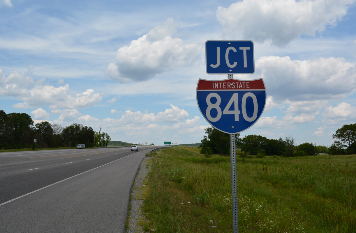
Interstate 840 travels northward on the final approach to I-40 on the outskirts of Lebanon. 06/11/17
A roadway stub leftover from original plans to extend the I-840 beltway northward appears just ahead of the separation for Interstate 40 at Exit 76. 01/15/19
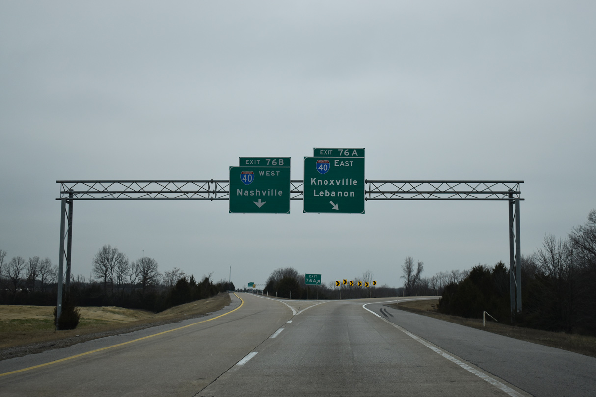
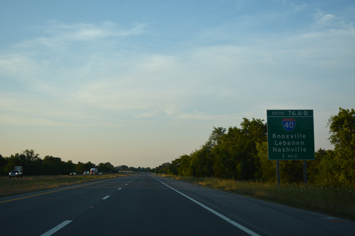
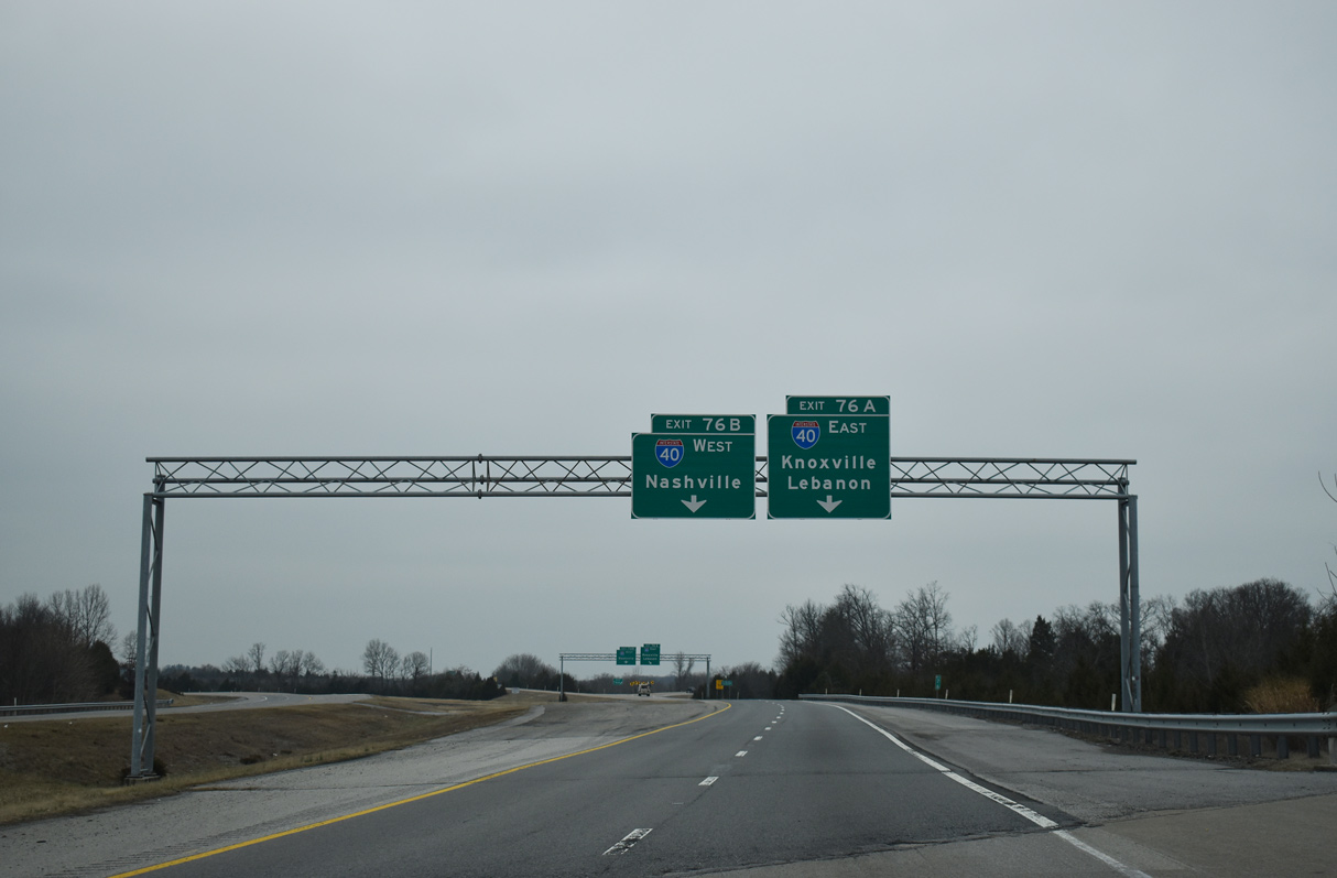
Interstate 40 heads east through southern reaches of Lebanon en route to Cookesville and Knoxville and west back toward Nashville. 01/15/19
![]() East at
East at ![]()
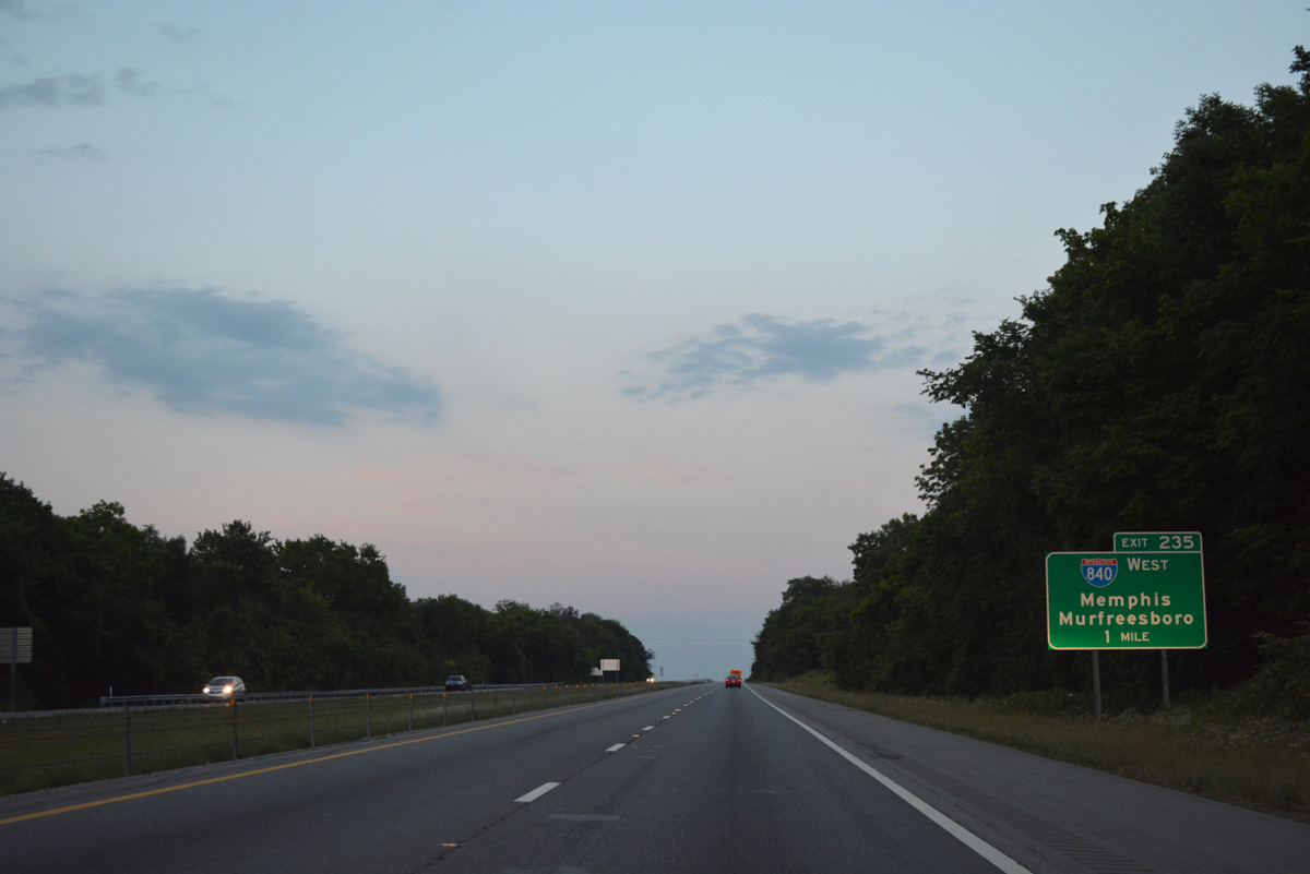
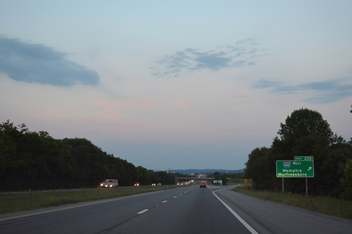
I-40 bee lines east through Tucker Gap on the approach to Exit 235 with Interstate 840 west. 06/10/17
Interstate 840 initially curves southwest from I-40 to SR 109 before taking a more southerly trajectory en route to Murphreesboro and I-24. 06/10/17
![]() West at
West at ![]()
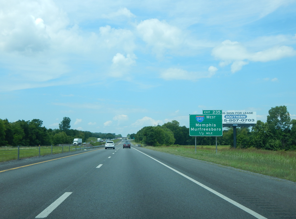
One half mile east of the trumpet interchange (Exit 235) with Interstate 840 along I-40 westbound. Photo by Carter Buchanan (06/11/17).
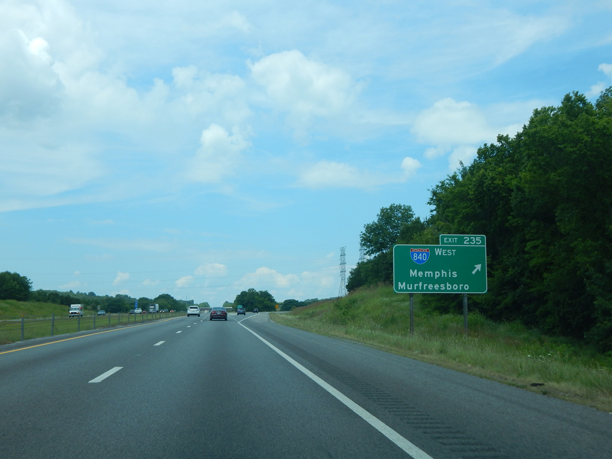
I-840 angles southwest 23 miles to cross paths with I-24 near Murfreesboro. I-40 west enters the city limits of Nashville in 12 miles. Photo by Carter Buchanan (06/11/17).
West End – Dickson, Tennessee
![]() West at
West at ![]()
01/15/19
01/15/19
01/15/19
01/15/19
![]() East at
East at ![]()
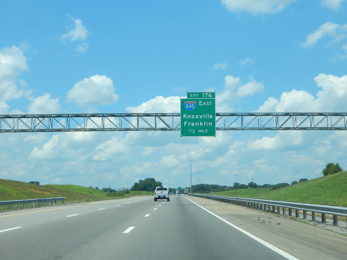
Interstate 840 branches southeast from I-40 in a rural area to the southeast of Dickson. 06/10/17, 01/15/19
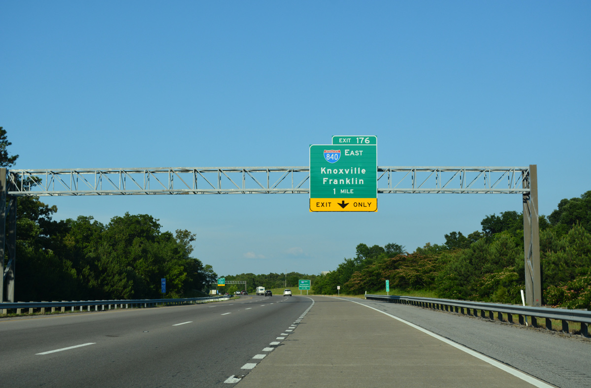
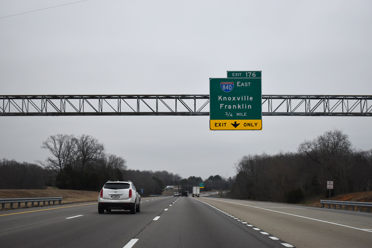
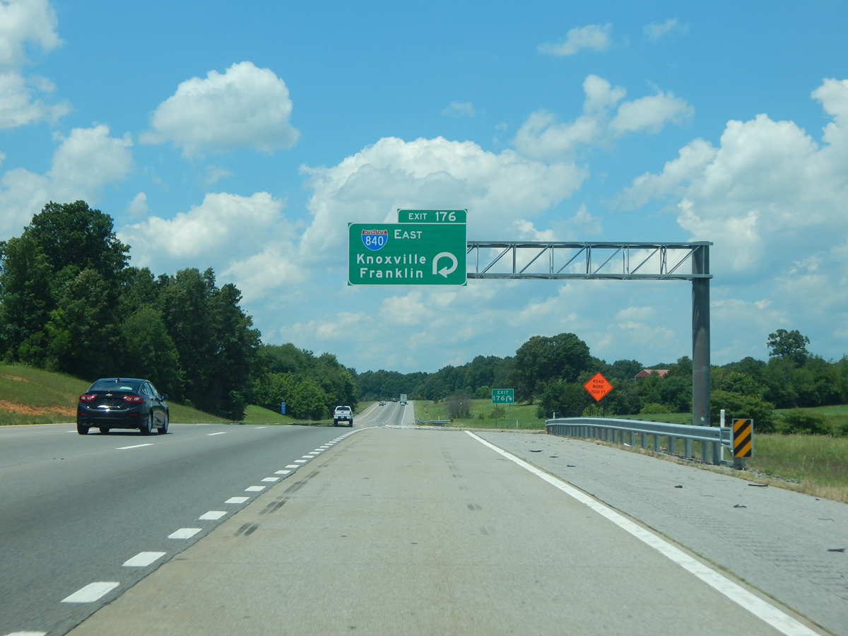
A parclo interchange joins I-40 with the west end of Interstate 840 at Exit 176. Provisions were built at the exchange for a northern extension. 06/10/17
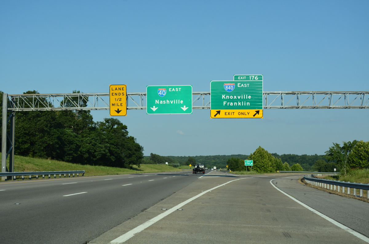
Exit 176 departs from I-40 east for Interstate 840. I-840 ventures southeast along a scenic and winding course to Duck River Ridge and I-65 between Spring Hill and Franklin. 06/10/17
![]() West at
West at ![]()
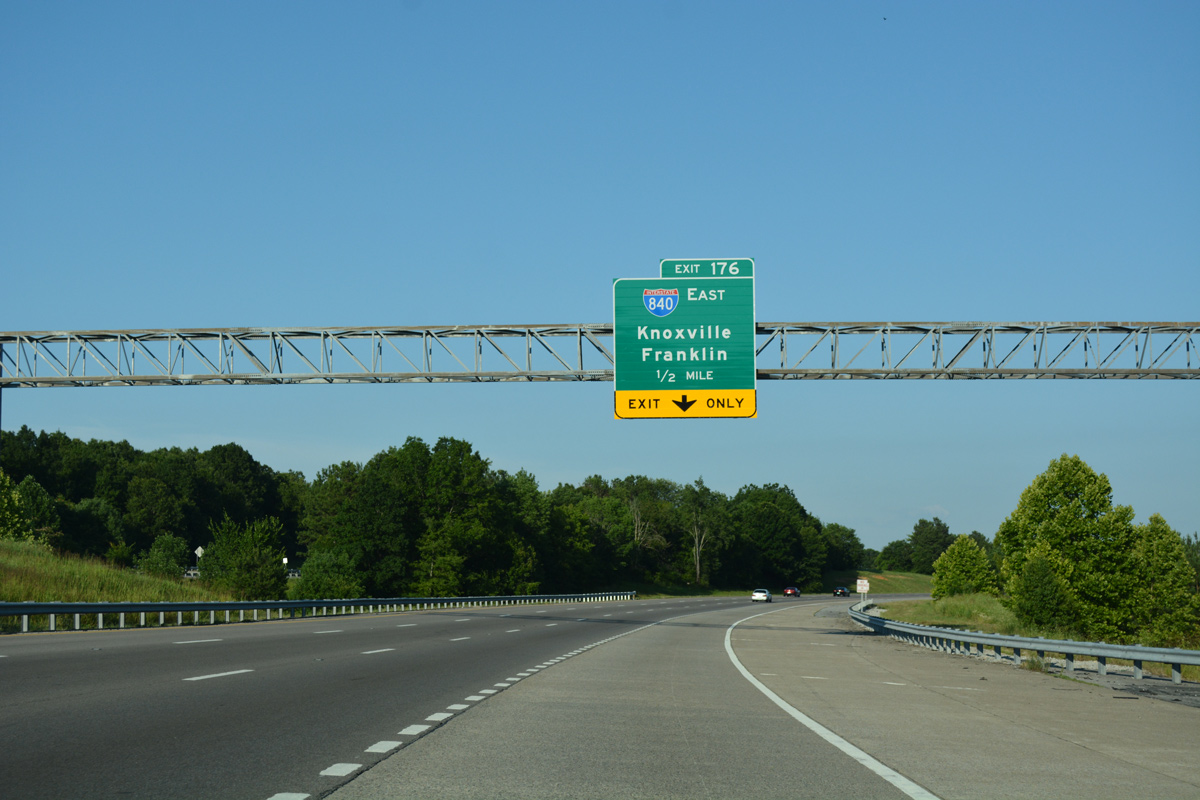
Interstate 840 returns to I-40 westbound, one half mile ahead at Exit 176 near the town of Burns. Photo by Carter Buchanan (06/11/17).
Exit 176 loops away from Interstate 40 west for I-840 southeast back toward Franklin. Photo by Carter Buchanan (06/11/17).
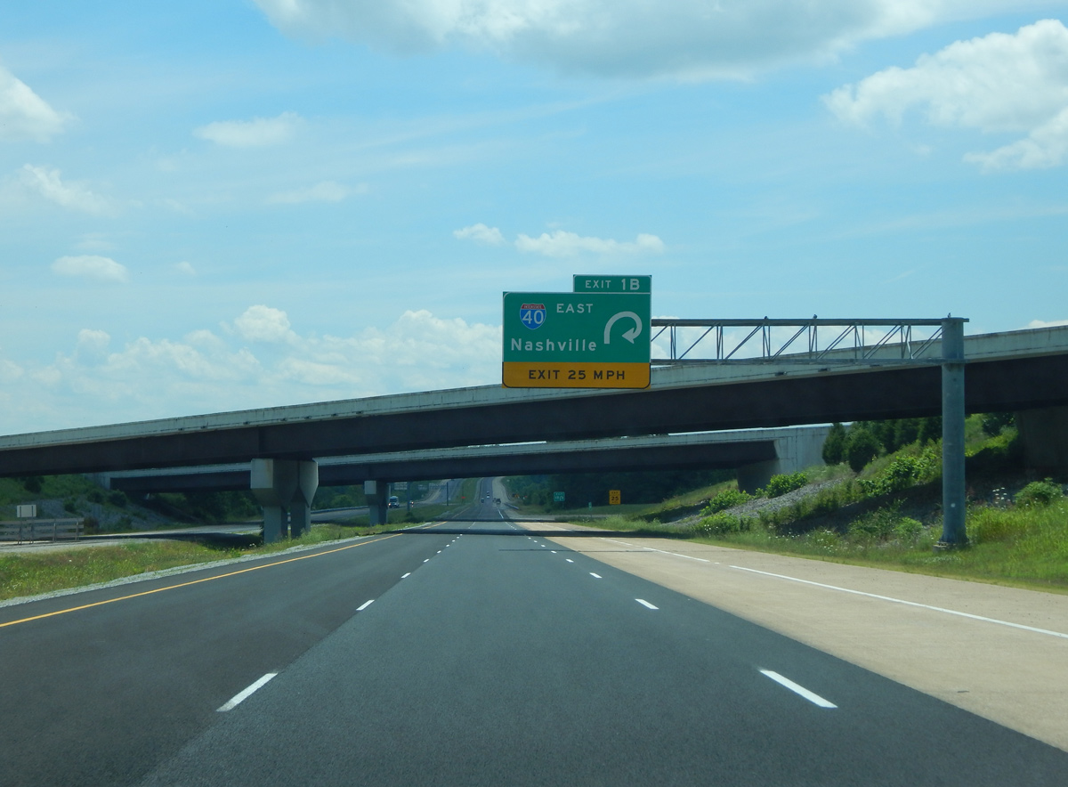
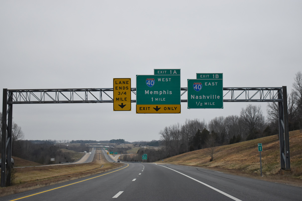
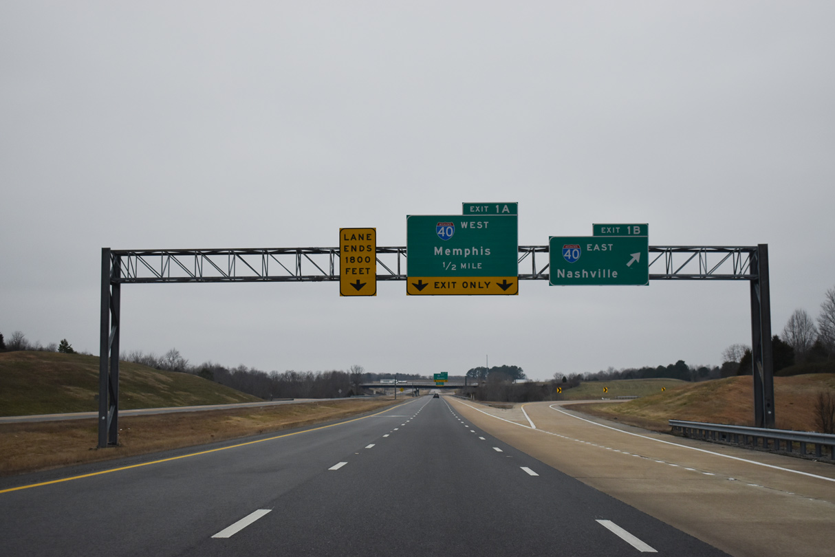
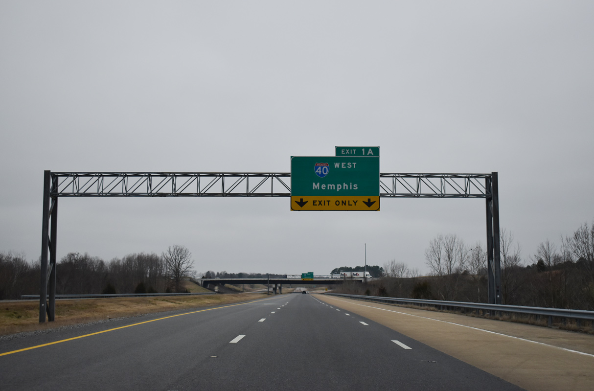
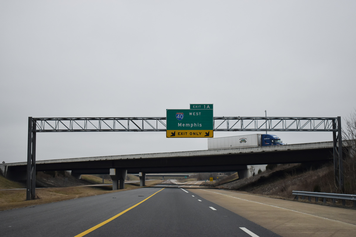
The eastbound beginning of Interstate 840 from I-40 west precedes a loop ramp (Exit 1A) for I-40 east back toward Nashville. This ramp was built for the unconstructed beltway to the north. Photo by Carter Buchanan (06/11/17).
Sources:
- State Route 840
http://www.tdot.state.tn.us/ information-office/HotProjects/SR840/. Tennessee Department of Transportation project web site. - “TDOT Announces Decision on State Route 840 North.” Tennessee Department of Transportation (TDOT), October 31, 2003.
- Tennessee Department of Transportation 15 Project Case Study: Project Assessment Final Report State Route 840 South. Center for Transportation Research at the University of Tennessee, Knoxville, Tennessee, page 11. August 2003.
- “New Nashville bypass to help Memphis drivers” The Commercial Appeal (Memphis, TN) October 31, 2012.
- “840 complete 26 years after project began.” Franklin Home Page (TN), November 2, 2012.
- “Tennessee Adds New 77 Miles of Highway to Interstate System.”
https://tn.gov/tdot/news/44772Tennessee Department of Transportation (TDOT), news release, August 12, 2016. - “Governor Bredesen Opens New Section of State Route 840.” Tennessee Government press release, October 22, 2010.
http://route.transportation.org/Documents/05 14 2015 Cheyenne, WY Report/Revised Application Prop Designation of I-840.pdf
Page updated May 18, 2022.