Interstate 490 New York
Overview
Interstate 490 provides a direct route to the city of Rochester from I-90 (New York State Thruway) east from Buffalo and west from Syracuse. The Thruway bypasses the city to the south, passing through the metropolitan area at both Victor and Henrietta.
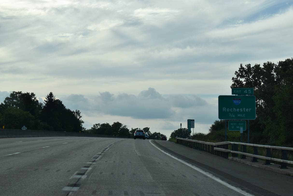
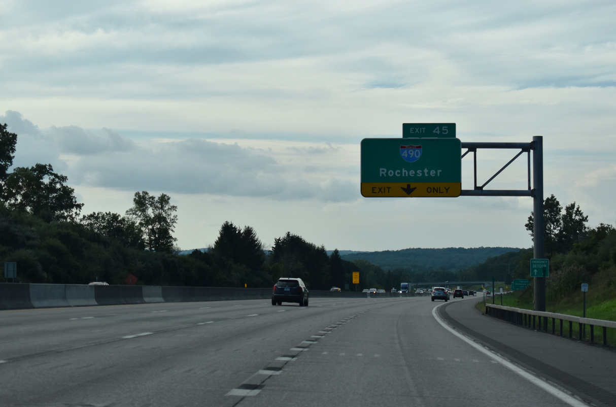
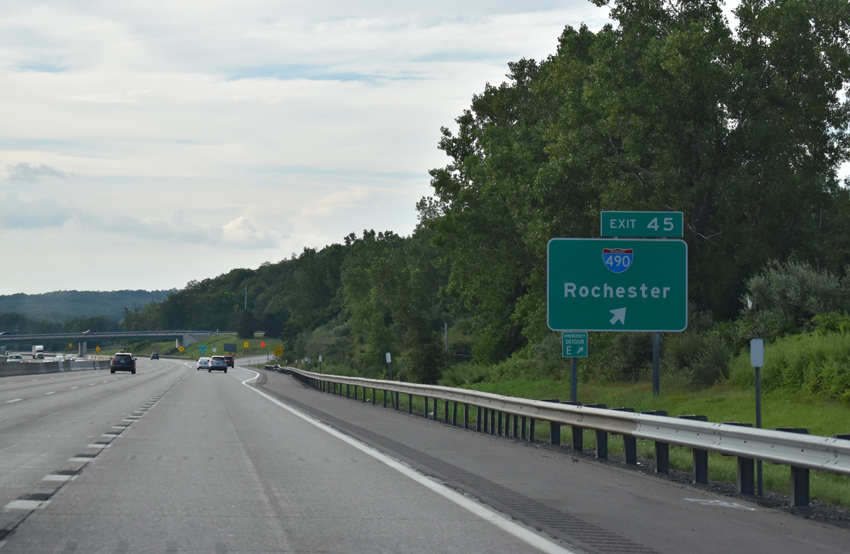
Heading north from the Thruway in the eastern notch of Genesee County, Interstate 490 travels to the village of Bergen before turning east into Monroe County ahead of Churchville. The rural freeway extends east 11 miles to the town of Chili, where adjacent agricultural areas give way to subdivisions. Curving north, I-490 passes through the town of Gates by Rochester Technology Park and through interchanges with the Airport and Spencerport Expressway freeway spurs.
Interstate 490 turns again to follow the Western Expressway from NY 531 to I-390 / NY 390 and west central Rochester. The urban freeway passes through a mixture of industrial and residential areas to the Inner Loop, a former full beltway encircling the central business district. I-490 makes up the southern third of the loop as it crosses the Genesee River on the Frederick Douglass – Susan B. Anthony Memorial Bridge.
Southeast from the Genesee River, I-490 leaves the Inner Loop and joins the Eastern Expressway to the Can of Worms Interchange with I-590 and NY 590. The freeway remains urban in design southeast through Brighton and into Pittsford with a barrier median and sound walls. Beyond NY 31F (Fairport Road) and East Rochester, Interstate 490 reduces to four lanes and travels more southerly through the town of Perinton. The final stretch crosses the Ontario County line southward to the New York Thruway in the town of Victor.
Route Information
East End – Victor
West End – Bergen
Mileage – 37.40
Cities – Rochester
Junctions –


Source: December 31, 2021 Interstate Route Log and Finders List
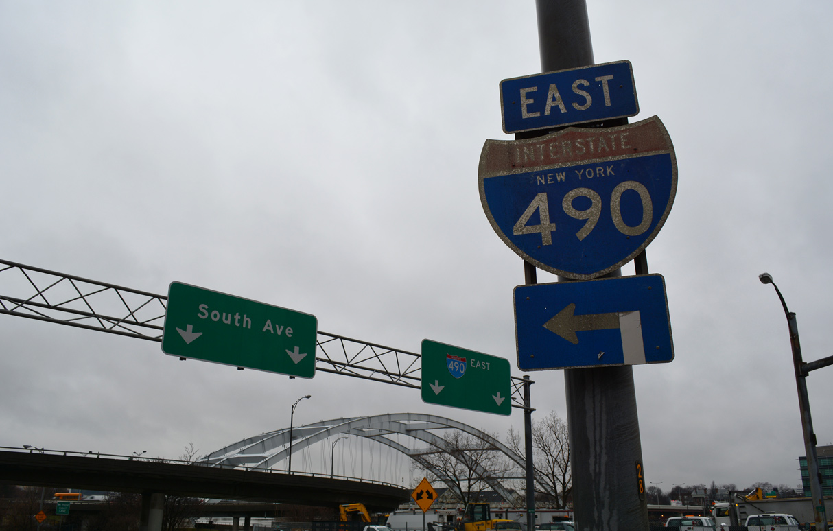
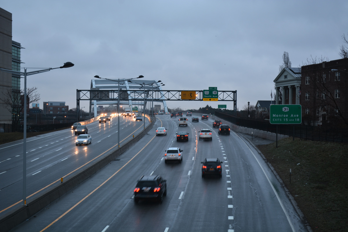
Interstate 490 west of the Plymouth Avenue overpass at Downtown Rochester. 01/18/17
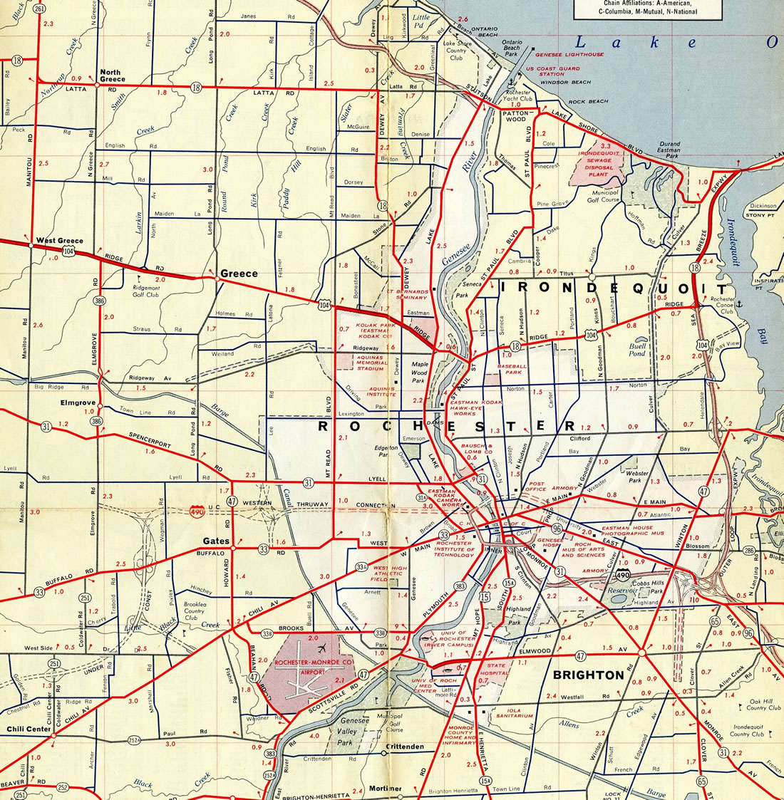
Interstate 490 (Eastern Thruway Connection) was already opened to traffic from the south arc of the Inner Loop in Rochester to New York Route 96 south of Pittsford by 1961.
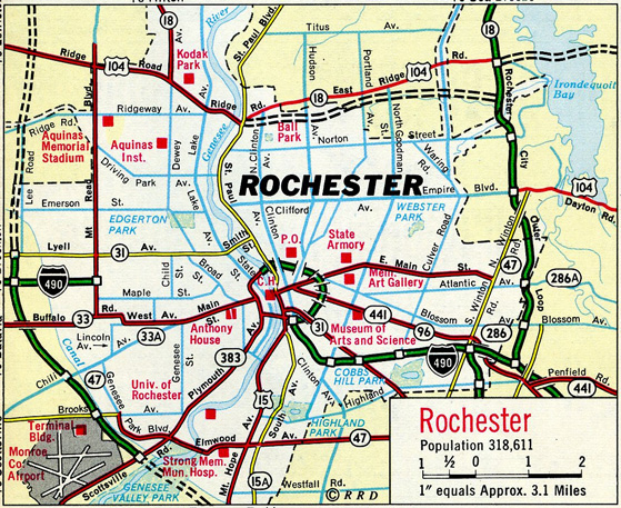
1966 map showing Interstate 490 opened along the Western Expressway east to Mt. Read Avenue in Rochester.
 History
Interstate 490 was originally designed to provide convenient access from the New York Thruway and Rochester suburbs to Downtown. Through the west side of Rochester, the mainline was constructed in three contracts over a more than ten year period. The first segment was finished between the Erie Canal and Mt. Read Boulevard (Exit 10) in 1963. I-490 was completed from Exit 10 to Platt Street (Exit 12) in 1971.
Construction of Interstate 490 from Platt Street to the Genesee River included work on the Inner Loop expressway and widening and rebuilding of the Troup-Howell Bridge. Named for Troup and Howell Streets, the Troup-Howell Bridge was already open as part of the Inner Loop west to South Plymouth Avenue. The span was upgraded from an urban arterial into a limited access route for I-490. Opened in 1974, this section was the last for I-490 overall.1
Announced in 2001, the Western Gateway Project reconstructed Interstate 490 from I-390 and the Erie Canal to the Genesee River in Downtown Rochester. Costing $85 million, and split into five contracts, work repaved the freeway mainline, rehabilitated/reconstructed overpasses carrying Ames, Child, Saxton and Colvin Streets over I-490 and erected noise barriers along I-490 between Ames and Grape Streets.2
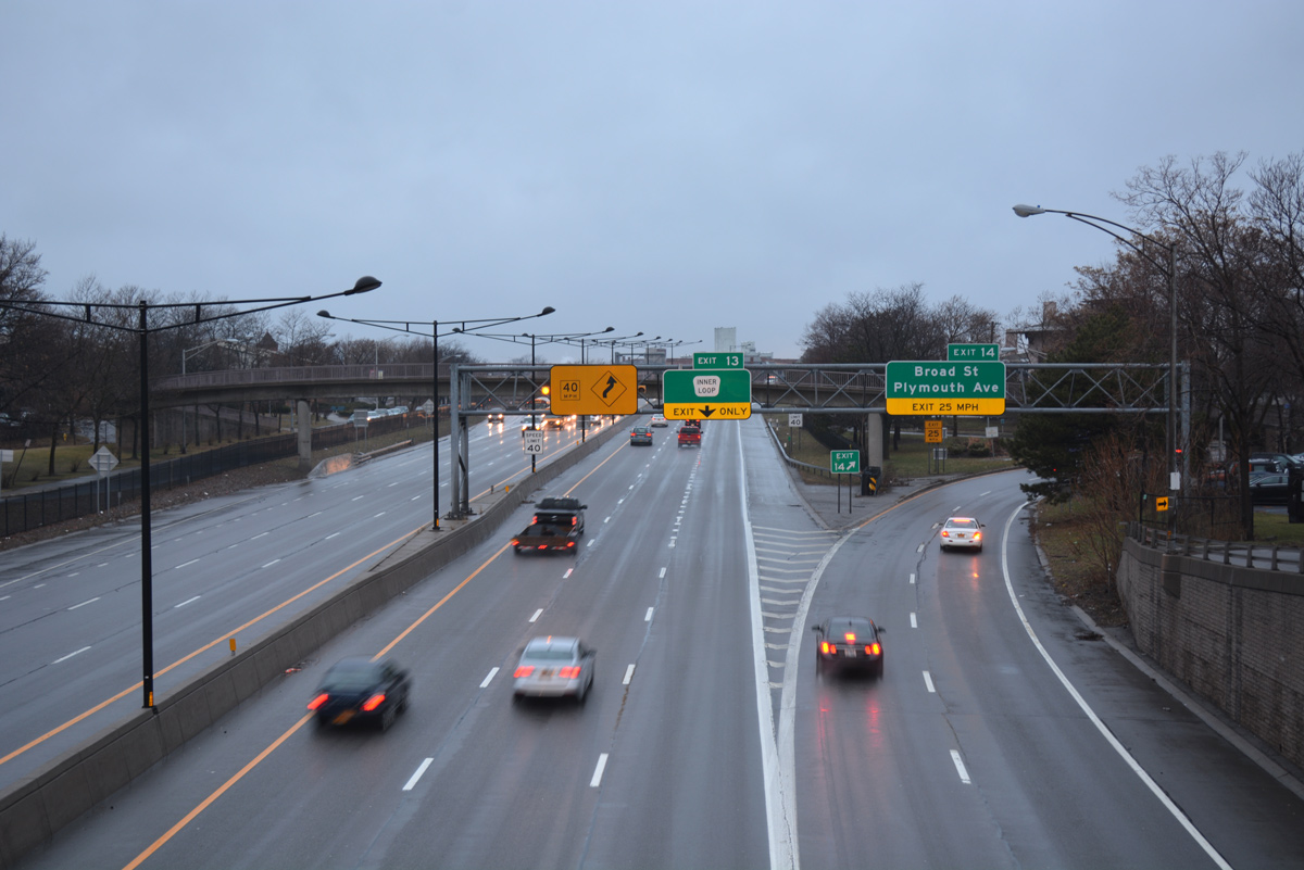
Interstate 490 crosses over both NY 383 (Exchange Street) and the Genesee River over the Frederick Douglass-Susan B. Anthony Memorial Bridge. 01/18/17
The largest aspect of the Western Gateway Project was the replacement of the Troup-Howell Bridge and its approaches. Foundations for the new Genesee River bridge were built below the old span starting in April 2004. The $37 million signature span was completed on June 18, 2007. With three members, the 433 foot long span is supported by 70 feet high steel arches. A pedestrian walkway lines the underside of the crossing.3
Work on the new Troup-Howell Bridge included a new on-ramp from Byron Street serving the South Wedge neighborhood. The city of Rochester asked the New York State Legislature to rename the Troup-Howell Bridge to honor Frederick Douglass and Susan B. Anthony,3 both of whom lived in Rochester and are buried in Mt. Hope Cemetery.4 The bridge was officially renamed to the Frederick Douglass-Susan B. Anthony Memorial Bridge in July 2007.5
The fourth phase of the Western Gateway project got underway in July 2007. The $39 million project repaved the freeway mainline and upgraded 14 bridges. It was completed by December 2009.3
 Photo Guides
East End  – Victor, New York
![]() East at
East at ![]()
![]()
NY 96 (Pittsford Victor Road) intertwines with Interstate 490 south from the Erie Canal and the town of Perinton to Exit 29 in the town of Victor. 03/26/23
Passing well south of Rochester, Interstate 90 follows a mostly rural route west from Victor toward Henrietta and east to Manchester. 03/26/23
Traffic partitions at the east end of I-490 for Interstate 90 west 77 miles to Buffalo and the New York State Thruway east 69 miles to I-81 at Syracuse and 203 miles to state capital. 03/26/23
![]()
![]() West at
West at ![]()
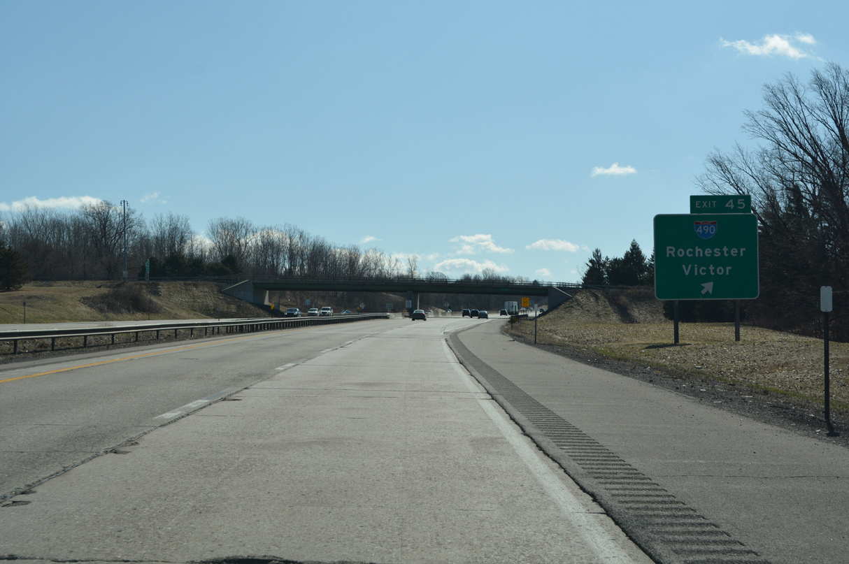
The New York Thruway westbound expands to four lanes with an auxiliary lane accompanying I-90 from the Seneca Service Area to Exit 45 for Interstate 490. 08/22/21
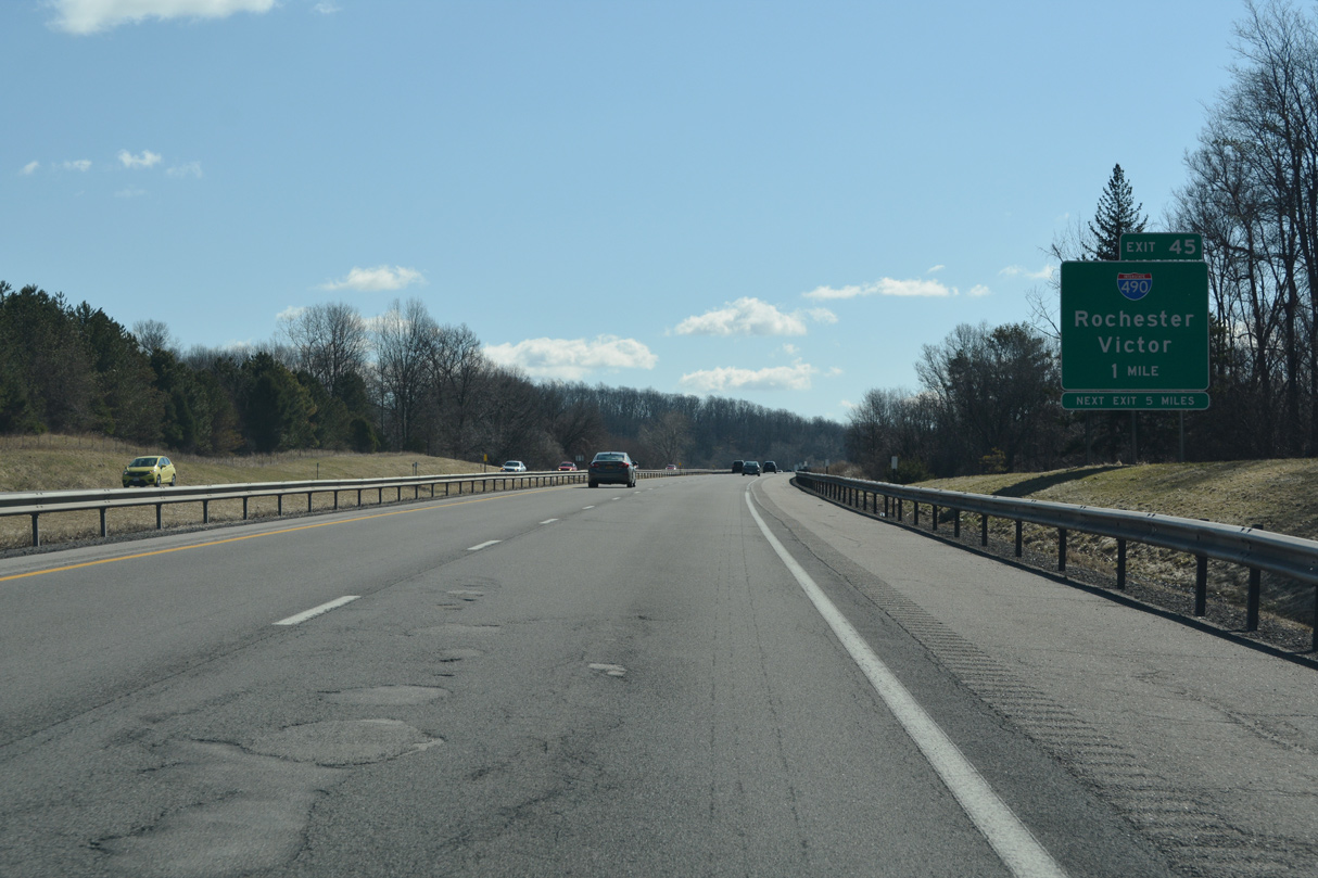
I-490 weaves seven miles northward from the trumpet interchange at Exit 45 alongside NY 96 (Pittsford Victor Road) through suburban areas from Eastview Mall to Pittsfield. 08/22/21
Interstate 490 reaches Downtown Rochester 15 miles northwest from Exit 45 in the town of Victor. I-90 stays to the south through rural areas, next meeting Interstate 390 at Henrietta in 11.3 miles. 08/22/21
![]()
![]() East at
East at ![]()
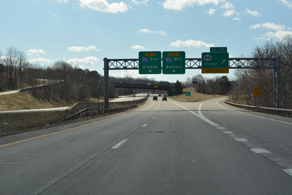
Interstate 90 converges with the east end of I-490 (Eastern Expressway) adjacent to NY 96 in the town of Victor. 03/26/23
I-490 heads north from Exit 47 to NY 96 by Eastview Mall en route to the towns of Perinton and Pittsford. 03/26/23
West End – Bergen, New York
![]() West at
West at ![]()
![]()
![]()
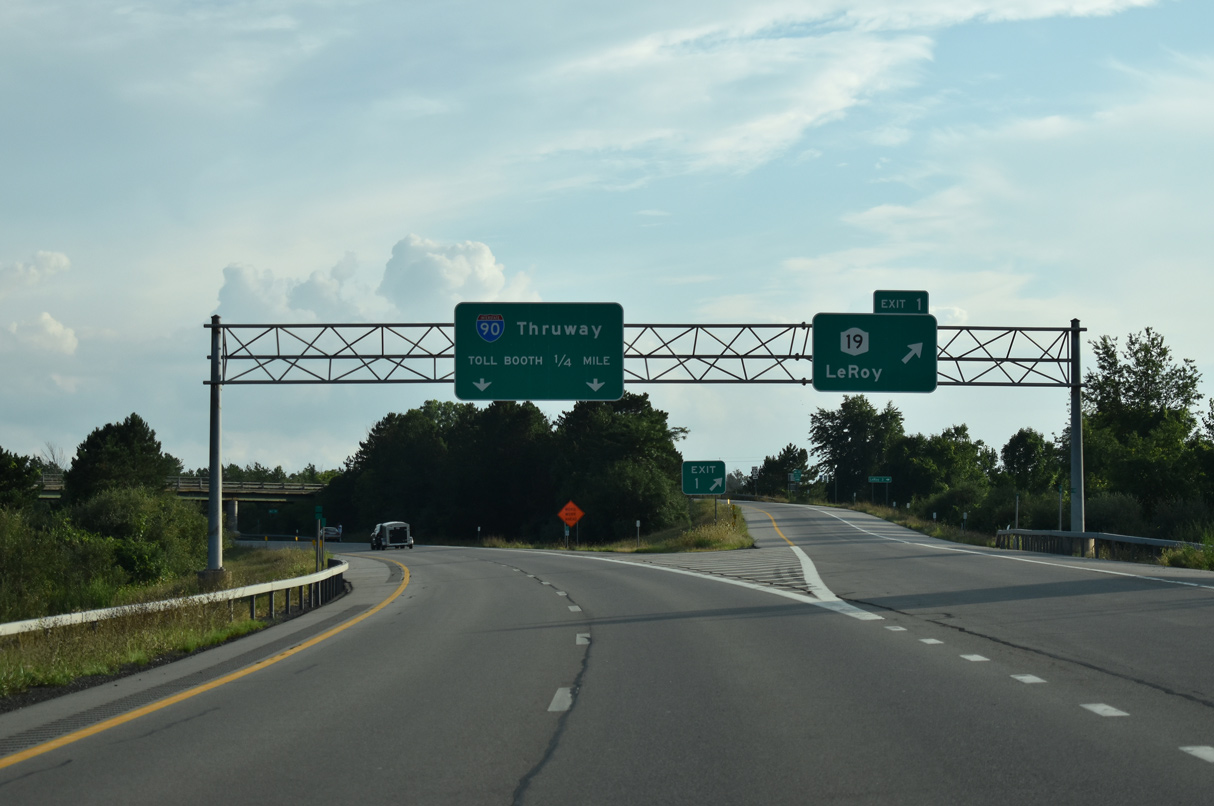
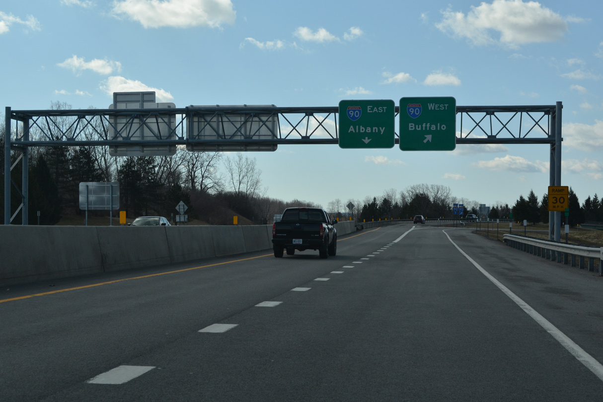
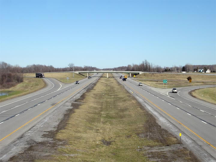
Angling southwest into Genesee County near Pinnacle Hill (el. 764 feet), I-490 enters a trumpet interchange (Exit 1) with NY 19 (Lake Street Road) and Vallance Road east just ahead of I-90 (New York Thruway). 08/22/21
Interstate 90 continues 11.3 miles west from I-490 to NY 98 at Batavia and 15.8 miles east to Exit 46 for I-390 and NY 253 at Henrietta. Lengthy exit less stretches are common along the Thruway across Upstate New York. 08/22/21
![]()
![]() East at
East at ![]()
![]()
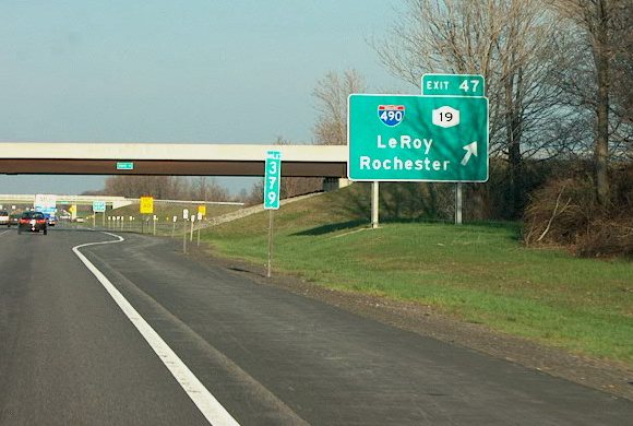
Traveling 23 miles to Downtown Rochester from I-90, I-490 follows a rural course northeast to Churchville, and through the western suburbs of Chili and Gates. Exit 1 links I-490 with NY 19, a 109 mile long route south to the Pennsylvania line at Shongo and north to Lake Ontario State Parkway at Hamlin. Photo by Brian Tabor (04/02).
A rural trumpet interchange joins I-90 and I-490 just east of the NY 96 (Lake Street Road) overpass. Photo by Scott Steeves (03/29/07).
![]()
![]() West at
West at ![]()
![]()
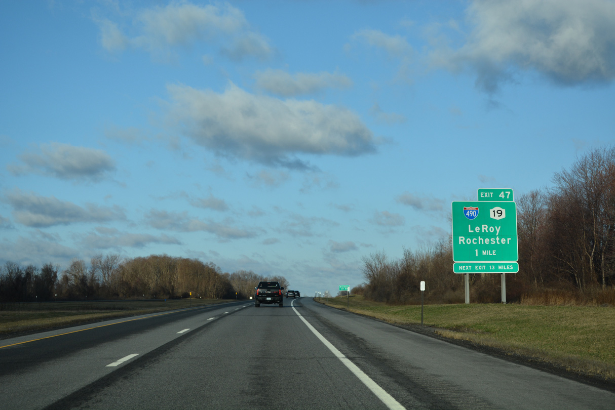
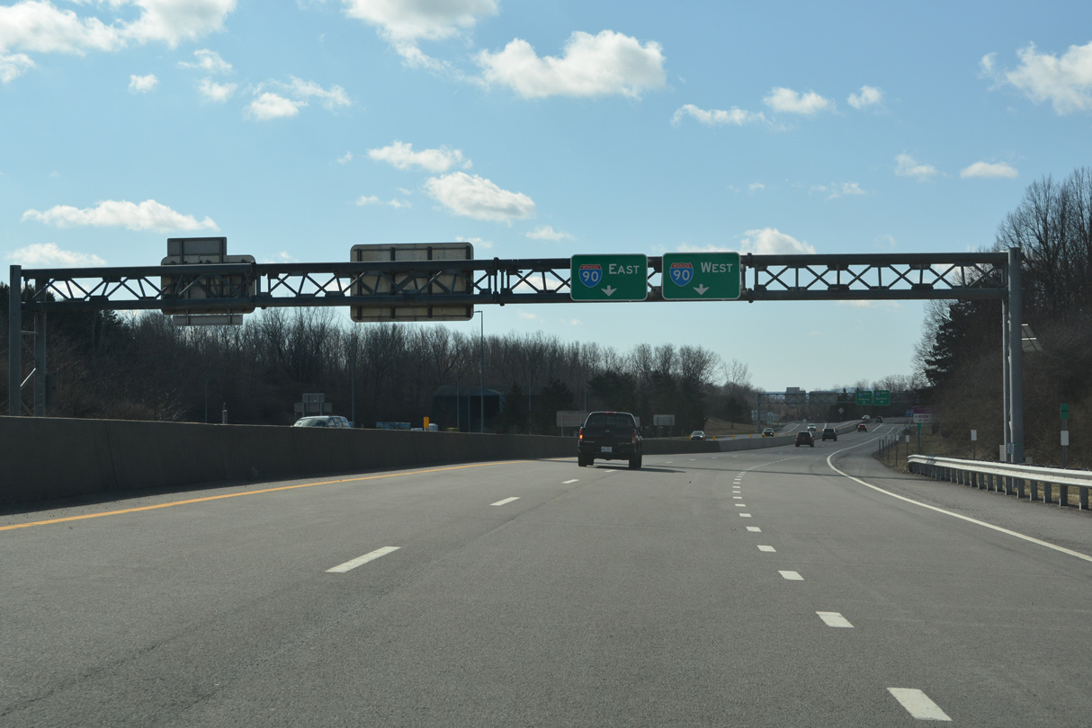
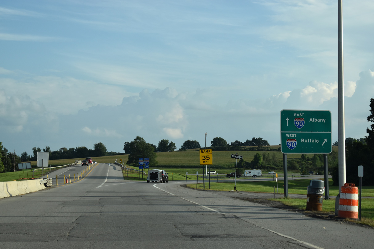
Entering northeastern Genesee County at the Ontario Service Area, I-90 advances west 2.6 miles to Exit 47 for Interstate 490 east. 03/26/23
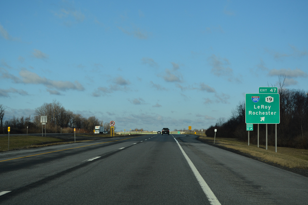
Interstate 490 stems north from Exit 47 to the town of Bergen. NY 19 runs just west of the freeway. The state route heads south to the nearby town of Le Roy and north 12 miles to the village of Brockport. 03/26/23
Sources:
- Creation of I-490.
http://www.dot.state.ny.us:80/reg/r4/490gateway/schedule.htmlReconstruction of 490 – Erie Canal to the Genesee River – The Western Gateway to Rochester, NYSDOT project web site. - “NYSDOT Announces Completion of Troup Howell Bridge – New Triple Steel Arches Become Rochester Landmark.” NYSDOT news release. June 15, 2007.
- .us:80/reg/r4/490gateway/schedule.html Reconstruction of 490 – Schedule.
http://www.dot.state.ny.us:80/reg/r4/490gateway/schedule.htmlReconstruction of 490 – Schedule, NYSDOT project web site. - Frederick Douglass Susan B. Anthony Memorial Bridge. City of Rochester, NY web site.
- “Frederick Douglass-Susan B. Anthony Memorial Bridge Shines in Bridge Construction Competitions.” NYSDOT news release. October 5, 2007.
Page updated on April 5, 2023.