Interstate 165 Alabama
Overview

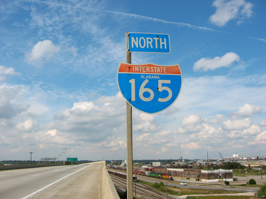
Interstate 165 leads out of northern reaches of Downtown Mobile to Prichard and Chickasaw.
Interstate 165 is an urban spur linking I-65 at Chickasaw and Prichard with Downtown Mobile. The freeway serves the Alabama State Docks along the Mobile River while also providing part of a truck bypass for the George Wallace Tunnel along I-10 with U.S. 90 and the Africatown Bridge across the Mobile River. Spanning a number of arterial streets in Prichard and wetlands along Threemile Creek, the nearly five mile long route is elevated.
 History
Interstate 165 was the result of the canceled proposal for I-210, an urban loop connecting I-65 in Prichard with I-10 at Water Street in Downtown Mobile. With origins dating back to 1958, I-210 represented the missing link in the Mobile Urban Interstate system. Original plans outlined a six lane, elevated roadway extending south along Water Street in Downtown Mobile. The northern extent more closely followed U.S. 43 along Telegraph Road to a point near Diaz Street in Prichard, where the loop turned west to join I-65 north of Turner Road. The Federal Highway Administration (FHWA) approved the 6.25 mile route on November 20, 1980 and assigned it Interstate 210. The American Association of State Highway and Transportation Officials (AASHTO) subsequently approved it on June 30, 1981.
The north end of I-210 was revised to parallel Whistler Street southeast by Downtown Prichard. Due to potential negative impacts with a viaduct separating Downtown and the Mobile River waterfront, plans for the southernmost reaches of I-210 were ultimately dropped. Correspondence between the Alabama Highway Department and FHWA no April 19, 1989 revised the route to I-165 due to the court ruling (Civil Action No. 84-1219-C-S) truncating I-210 northward from I-10 to Beauregard Street. AASHTO followed by approving both the elimination of I-210 and establishment of Interstate 165 on June 13, 1989.
Costing $240 million to construct,1 Interstate 165 opened to traffic on October 28, 1994.2
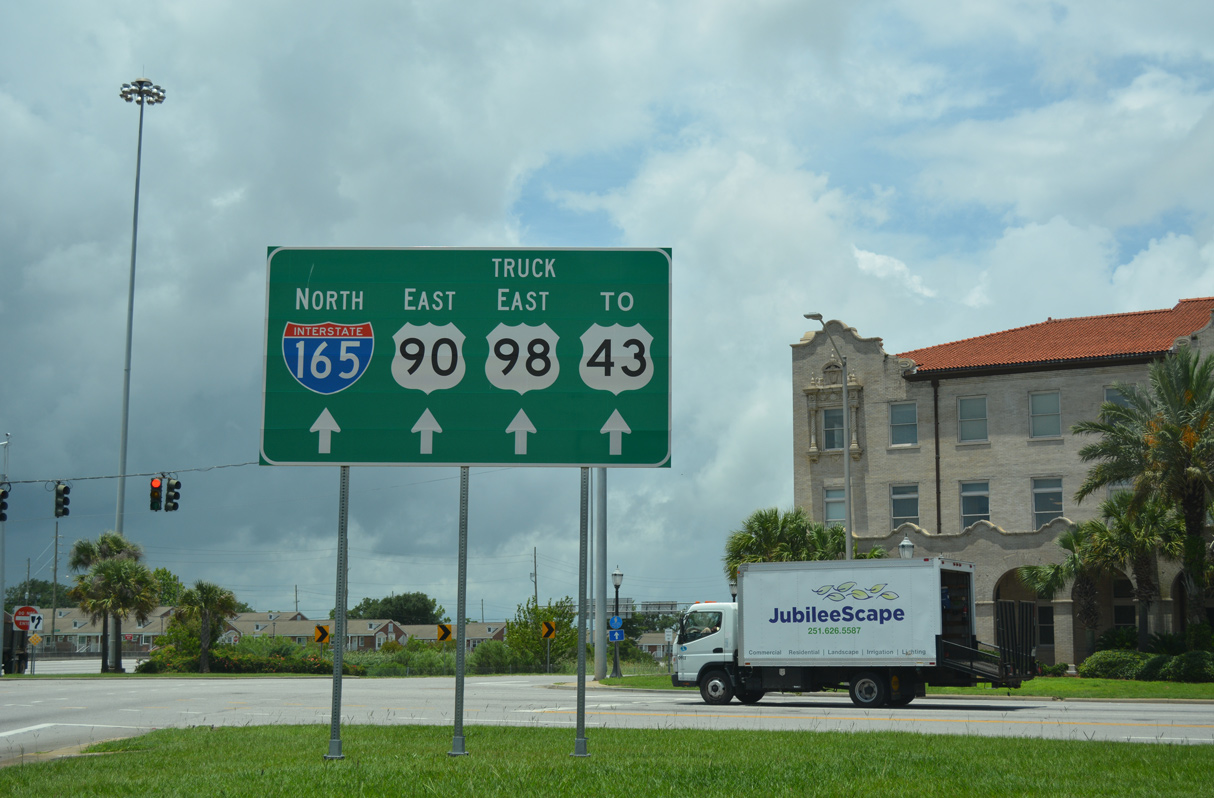
U.S. 90 and U.S. 98 Truck overlap with Interstate 165 between Beauregard Street and Bay Bridge Road at Exit 2. The two routes bypass Downtown Mobile east from I-165 along the Africatown Bridge and Cochrane Causeway south to U.S. 98 (Battleship Parkway) on Blakeley Island. U.S. 90 was realigned from an overlap with U.S. 43 alongside Telegraph Road by 1999. AASHTO formally approved the relocation of U.S. 90 and the truncation of U.S. 43 south of Bay Bridge Road on December 18, 2002. U.S. 98 Truck is the bypass route for the Bankhead Tunnel (U.S. 98) and Wallace Tunnel (I-10) across the Mobile River for trucks carrying hazardous materials (Hazmats).
Route Information
North End – Prichard, AL
South End – Mobile, AL
Mileage – 4.90
Cities – Mobile, Prichard
- Junctions –

Source: December 31, 2021 Interstate Route Log and Finders List
I-165 Annual Average Daily Traffic (AADT)
Source: 2020 AADT – Alabama Traffic Data
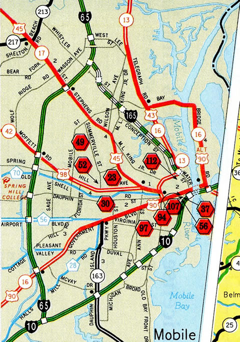
The interchange box displayed at the south end of I-165 on the Alabama state map is erroneous. As such the Rand McNally North American Road Atlas also displays an ICBox at the south end of I-165.
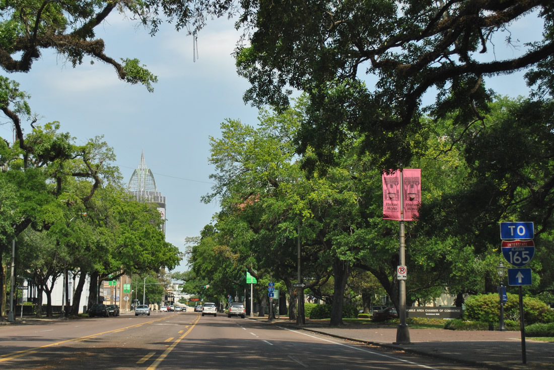
Trailblazers for Interstate 165 are posted throughout the Mobile central business district directing traffic onto Water Street northbound. 04/11/12
 Photo Guides
North End  – Prichard, Alabama
![]() North at
North at ![]()
I-165 navigates through an S-curve north from Wilson Avenue to the two-wye interchange (Exit 1) with Interstate 65 in Prichard. 11/23/14
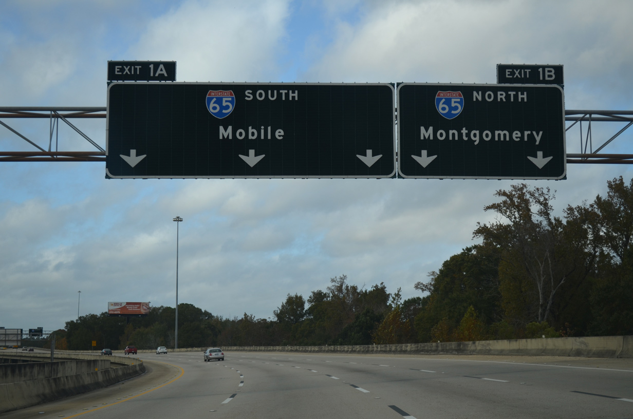
The entrance ramp from Whistler Street expands I-165 north to four lanes ahead of the ramp split for Interstate 65. Exit 1A joins I-65 south ahead of U.S. 45 (St. Stephens Road) with three lanes. 11/23/14

Interstate 165 concludes at I-65 just south of the Chickasaw city line. Traveling north through Saraland and Satsuma, I-65 heads 160 miles to Montgomery. 11/23/14
![]() North at
North at ![]()
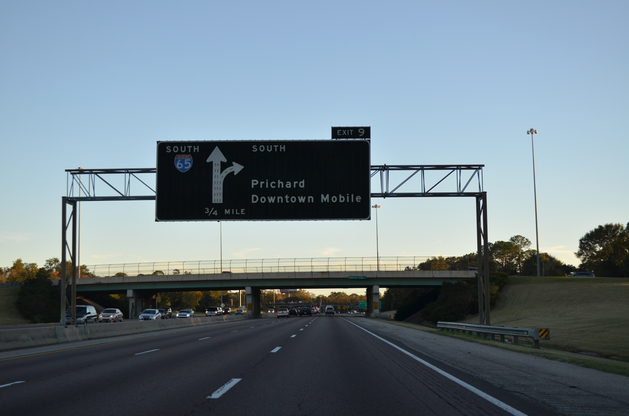
The initial guide sign for Interstate 165 south on I-65 was carbon copied, including with the lack of an exit tab, by 2021. 05/15/16
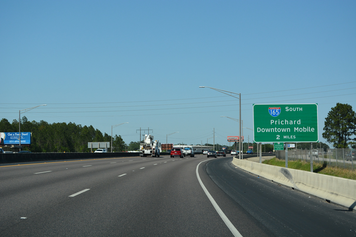
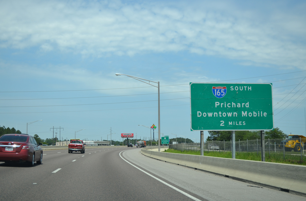
The first guide sign for Interstate 165 precedes the six-ramp parclo interchange (Exit 8) joining I-65 north with U.S. 45 (St. Stephens Road). 05/11/22
An auxiliary lane accompanies I-65 north from U.S. 45 to Exit 9. Interstate 165 provides part of a commuter route to Downtown Mobile from west Mobile. 05/11/22
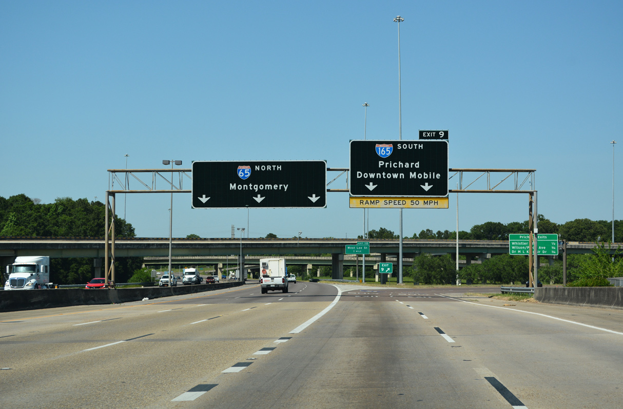
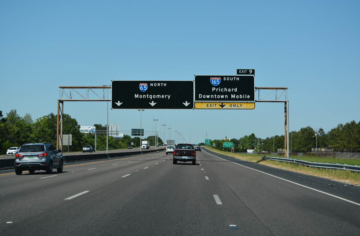
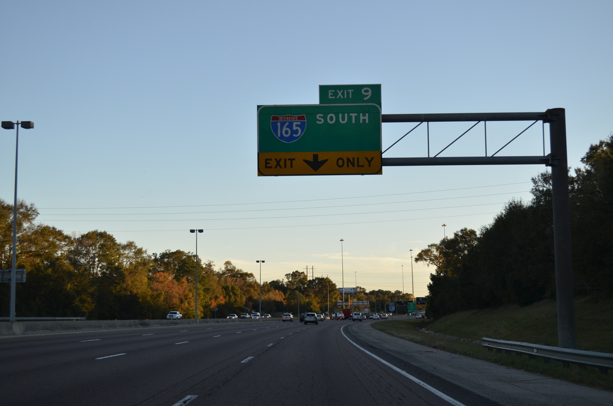
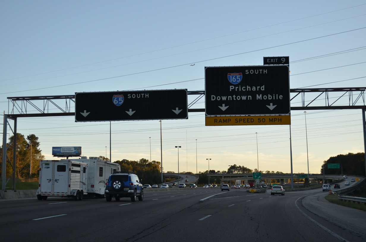
Interstate 65 northbound enters the directional T interchange (Exit 9) with I-165 south in Prichard. 05/11/22
![]() South at
South at ![]()

Interstate 65 expands to six lanes from the exchange with SR 158/213 in Saraland southward through Chickasabogue Park to Chickasaw and I-165 in Prichard. 11/20/15
A diamond interchange (Exit 10) joins I-65 with W Lee Street in Chickasaw three quarters of a mile north of the separation with Interstate 165. 11/20/15
The entrance ramp from W Lee Street adds an auxiliary lane along I-65 south for Exit 9 to Interstate 165 and Downtown Mobile. 11/20/15
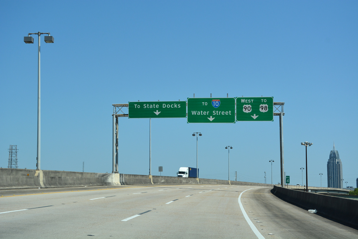
A two lane flyover joins I-165 south to Downtown Prichard, U.S. 90 (Bay Bridge Road) east and Water Street along the Mobile Riverfront. I-165 and U.S. 90 across the Cochrane-Africatown Bridge are part of a bypass route joining Semmes and West Mobile with Baldwin County. 11/20/15
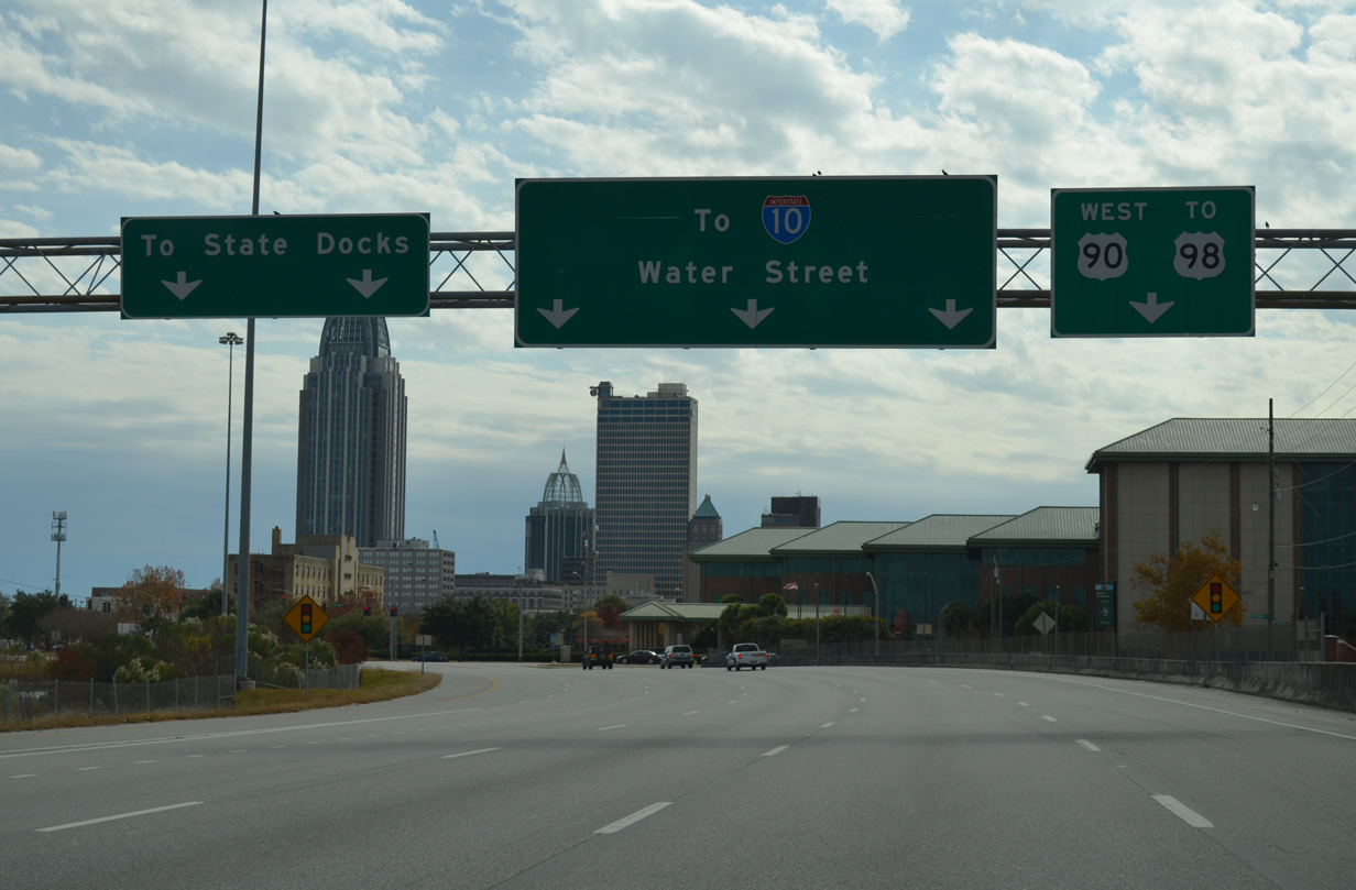
South End at Beauregard and Water Streets – Mobile, Alabama
![]() South
South ![]() West at Water Street
West at Water Street

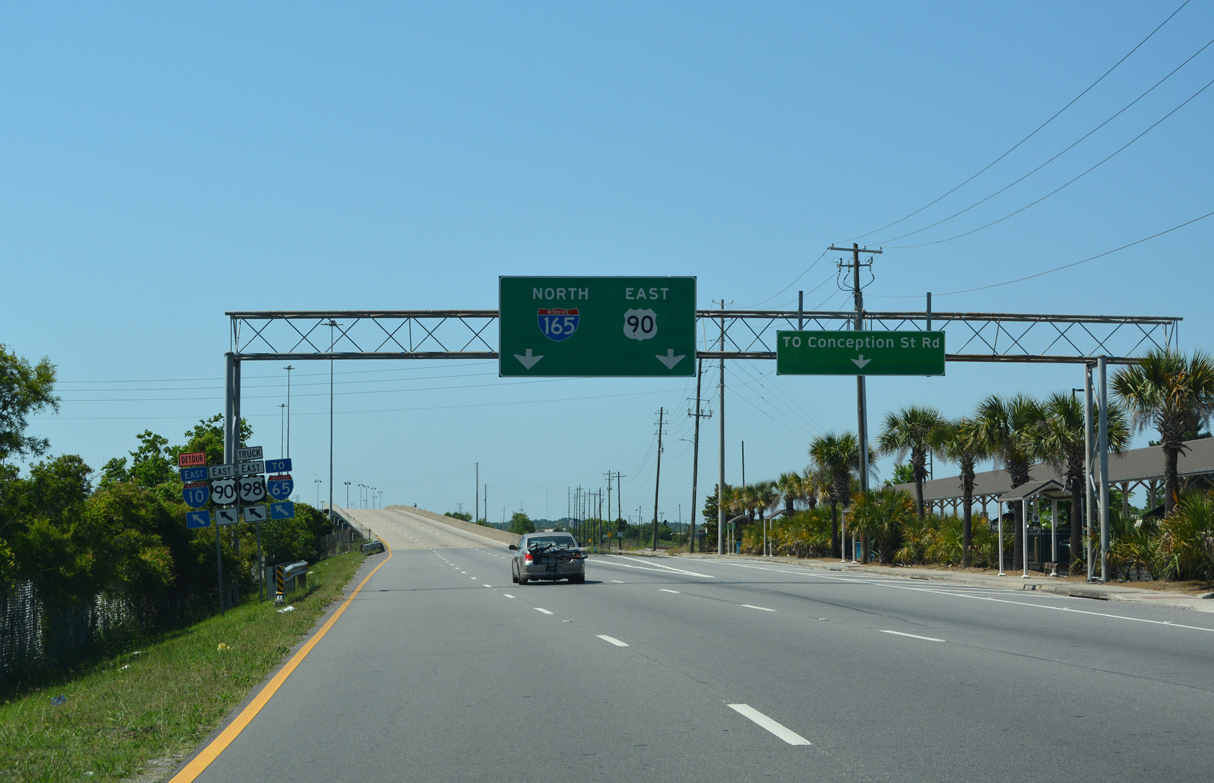
An end sign marks the final mile of Interstate 165 south along the viaduct spanning the Alabama State Docks Railroad line. 05/11/22
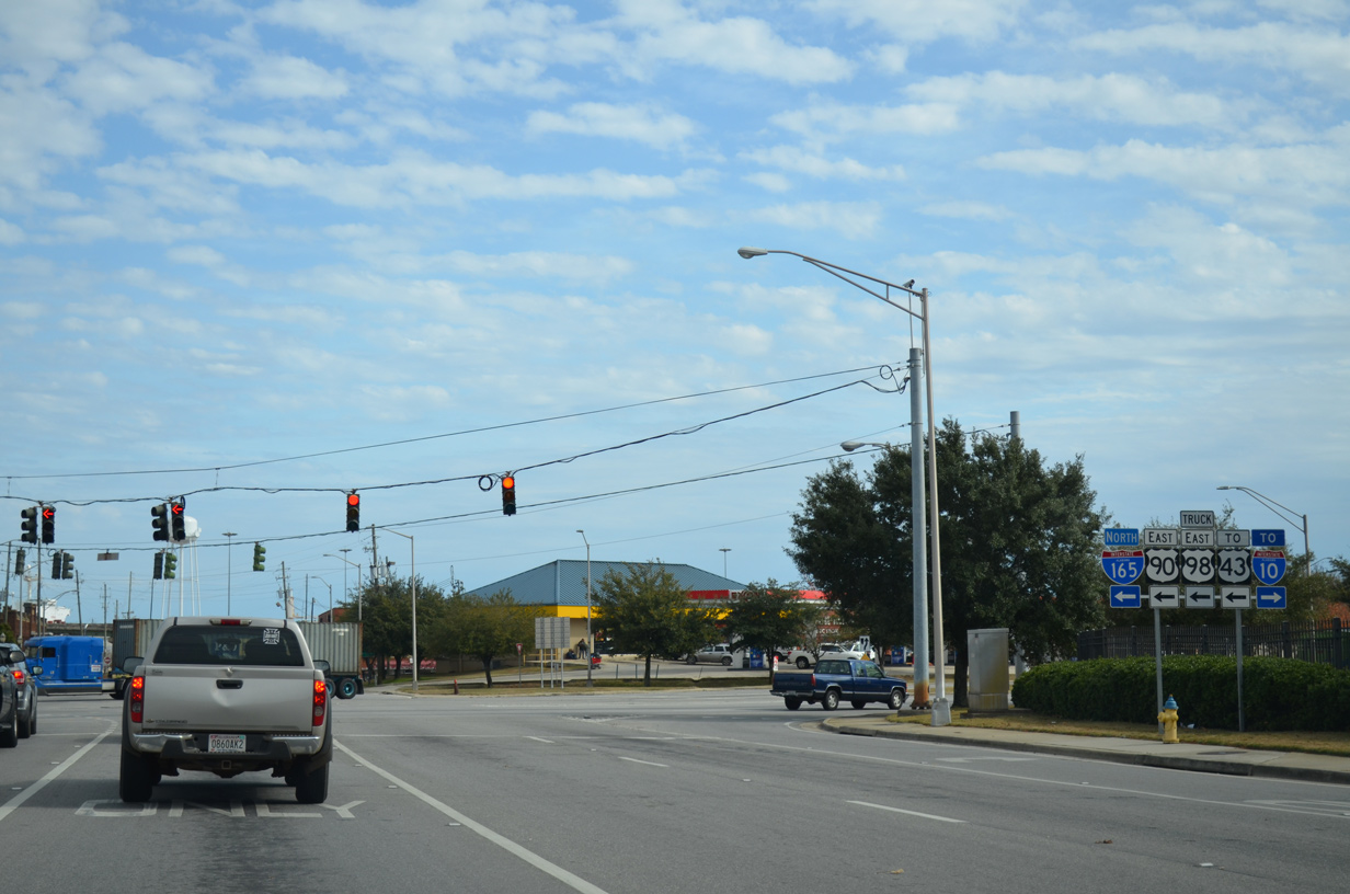
Interstate 165 concludes at the intersection of Beauregard and Waters Streets next to the GM&O Transit Center. Beauregard Street extends east from U.S. 90/I-165 to Delchamps Drive and the Alabama State Docks. 05/11/22
The freeway lowers to grade level ahead of entrance ramps from Conception Street Road and a turnaround from Telegraph Road (old U.S. 43) north. 05/11/22
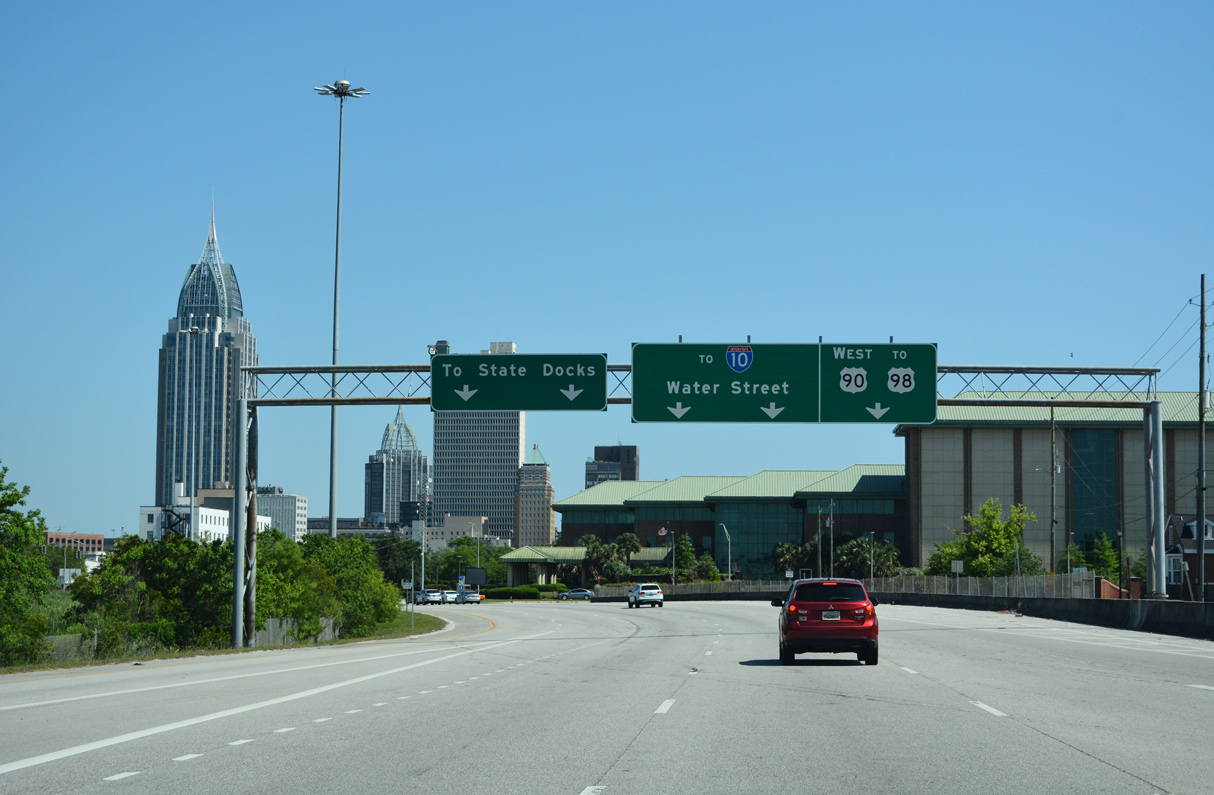
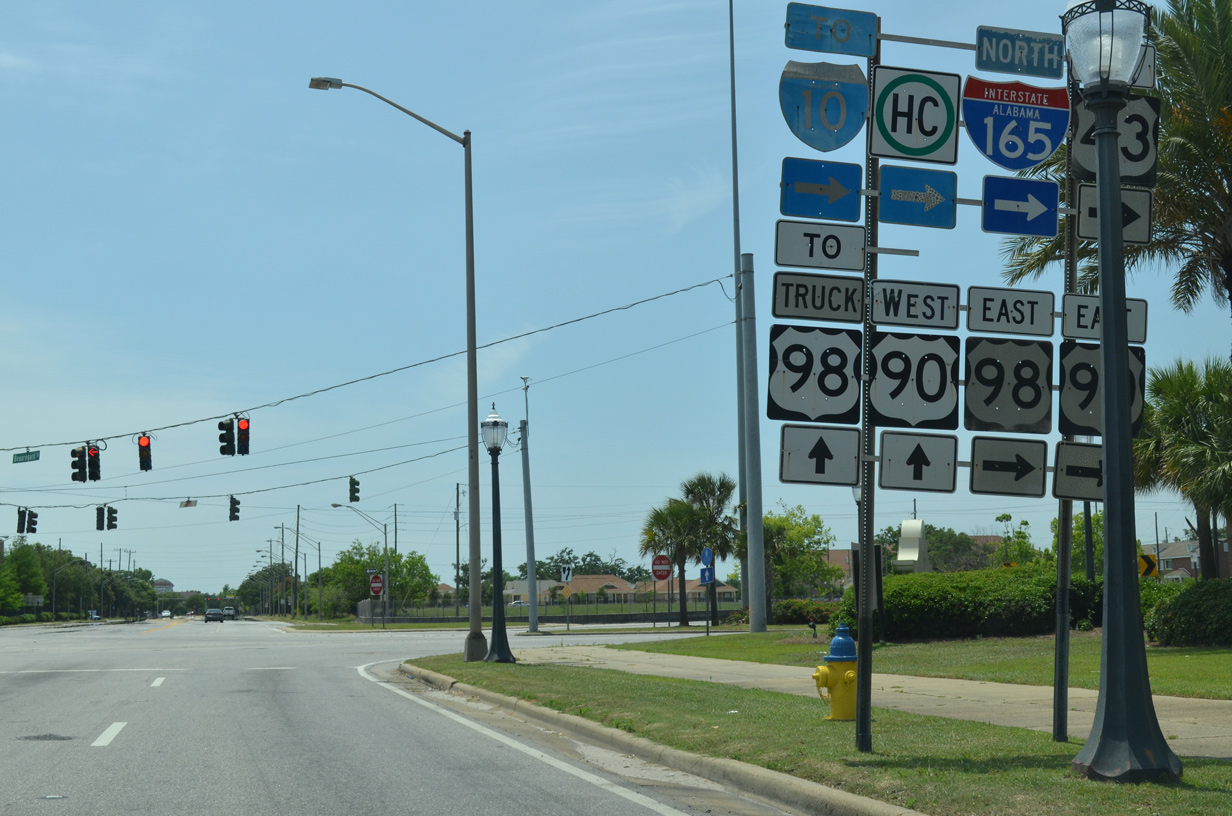
Water Street extends south from I-165 and U.S. 90 as a four lane boulevard with bike lanes to the Mobile central business district and Interstate 10. U.S. 90 west follows Beauregard Street to Broad Street, where it combines with U.S. 98 from Spring Hill Avenue to Government Street. 05/11/22
Water Street – North at ![]()
![]()
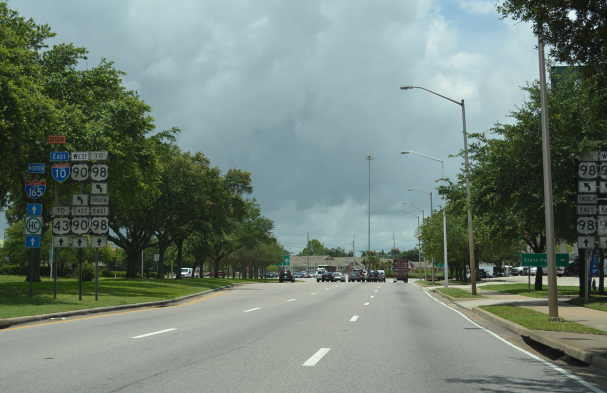
Part of the Henry Aaron Loop encircling Downtown Mobile, Water Street north intersects U.S. 90 at Beauregard Street. U.S. 90 east overtakes Water Street north to I-165. These assemblies were removed by 2022. 06/05/17
Water Street advances north with two lanes alongside U.S. 90 to I-165. Beauregard Street is part of the Truck route for U.S. 98 west to Spring Hill Avenue. 06/05/17
![]() East at Water Street /
East at Water Street / ![]()
U.S. 90 (Beauregard Street) turns onto Water Street north ahead of I-165. I-165/U.S. 90 overlap to Africatown Boulevard / Exit 2. 11/25/14
Conception Street Road splits with I-165/U.S. 90 ahead of the viaduct spanning the Alabama State Docks. This ramp was formerly a part of U.S. 43 leading north to Telegraph Road. U.S. 43 was truncated to U.S. 90 (Bay Bridge Road) east of I-165 in Prichard. 05/11/22
East at Beauregard Street – West at ![]()
![]()
Beauregard Street west connects the Alabama State Docks and Dekle Street with U.S. 90 and I-165 north at Water Street. This shield assembly was removed by 2017. 05/15/16
 South End Throwback
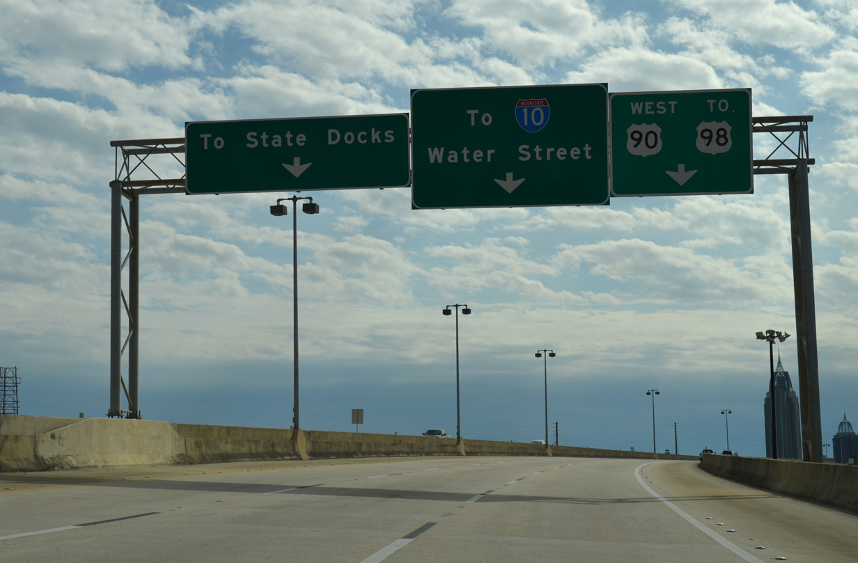
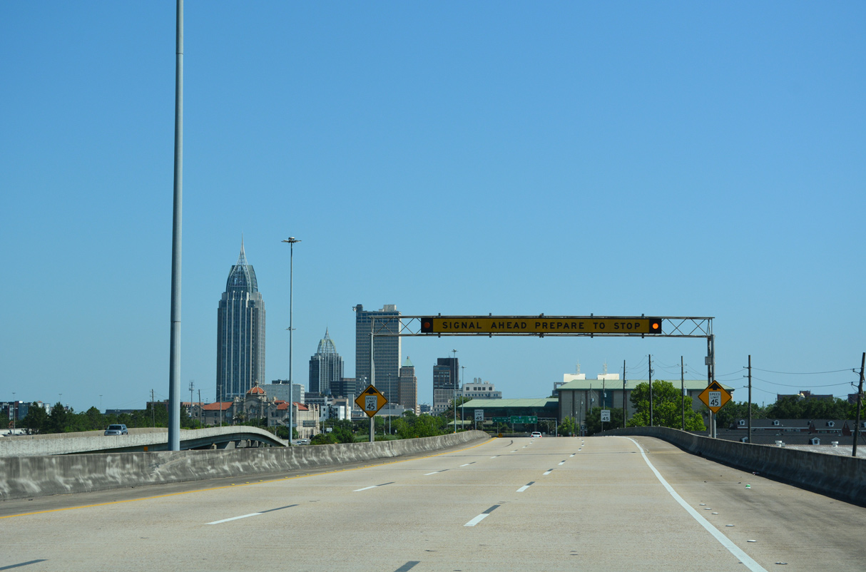
Overheads preceding the south end of I-165 were carbon copied by 2022. 11/25/14
A road diet implemented along Water Street south from I-165/U.S. 90 through Downtown Mobile in 2019 replaced a travel lane in each direction with bike lanes. 11/25/14
Sources:
- “I-165 now open Route connecting downtown with I-65 in Prichard saves motorists 9 minutes in travel time.” Mobile Register (AL), October 29, 1994.
- “Interstate 165 opens today, completing state’s system.” Mobile Register (AL), October 28, 1994.
Page updated June 2, 2022.