Interstate 130 Arkansas

Overview
Interstate 130 was the designation planned for the 5.8 mile long freeway spur between I-30 and U.S. 71 (East Street) within the city of Texarkana. The freeway was signed as Highway 245 until completion of Highway 549 northeast to Interstate 30 in 2013. Redesignated as Interstate 49, the freeway along Highway 549 was finished south into Louisiana on November 10, 2014.
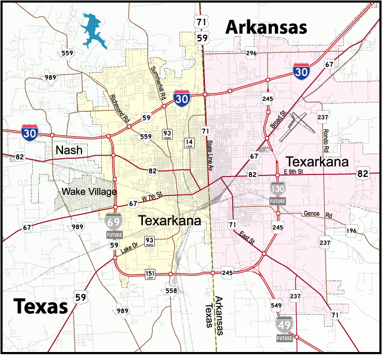
Highway 245 (IH 130) formed part of the Texarkana belt line along with State Loop 151 and U.S. 59 (Future IH 369) around Texarkana, Texas.
Route Information
North End – Texarkana, AR
South End – Texarkana, AR
Mileage – 5.8
Cities – Texarkana
- Junctions –

Source: 2003 Arkansas Official State Map
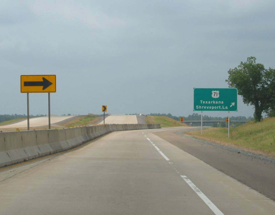
U.S. 71 north at the half opened diamond interchange with Arkansas Highway 245 north. Photo by Justin Cozart (07/26/03).
U.S. 71 north at the half opened diamond interchange with Arkansas Highway 245 north. Photo by Justin Cozart (07/26/03).
 History
The Arkansas State Highway and Transportation Department (AHTD) submitted I-130 as a future Interstate corridor to the American Association of State and Highway Transportation officials (AASHTO) in Fall 2000. The AASHTO Route Numbering subcommittee approved the designation as a future route on December 9, 2000.1 AHTD also submitted a proposed extension of Interstate 130 from U.S. 71 west to State Line Avenue in Texarkana, but this request was denied by AASHTO.
Starting in Winter 2001, Arkansas erected Future Interstate 130 shields along the Highway 245 corridor. These however were removed by October 2003.


Sources:
- “Interstate 130 to be designated in Arkansas.”
http://www.ahtd.state.ar.us/news/news2001/nr01%2D002.htmArkansas State Highway Department (AHTD), news release. January 10, 2001.
Page updated February 1, 2019.